Launch List
API endpoint that returns all Launch objects or a single launch.
EXAMPLE - /launch/
GET: Return a list of all Launch objects.
FILTERS: Fields - 'name', 'id(s)', 'lsp_id', 'lsp_name', 'serial_number', 'launcher_config__id', 'rocket__spacecraftflight__spacecraft__name'
MODE: 'normal', 'list', 'detailed' EXAMPLE: ?mode=list
SEARCH: Searches through the launch name, rocket name, launch agency, mission name & spacecraft name. EXAMPLE - ?search=SpaceX
GET /2.0.0/launch/?format=api&offset=7160&ordering=-id
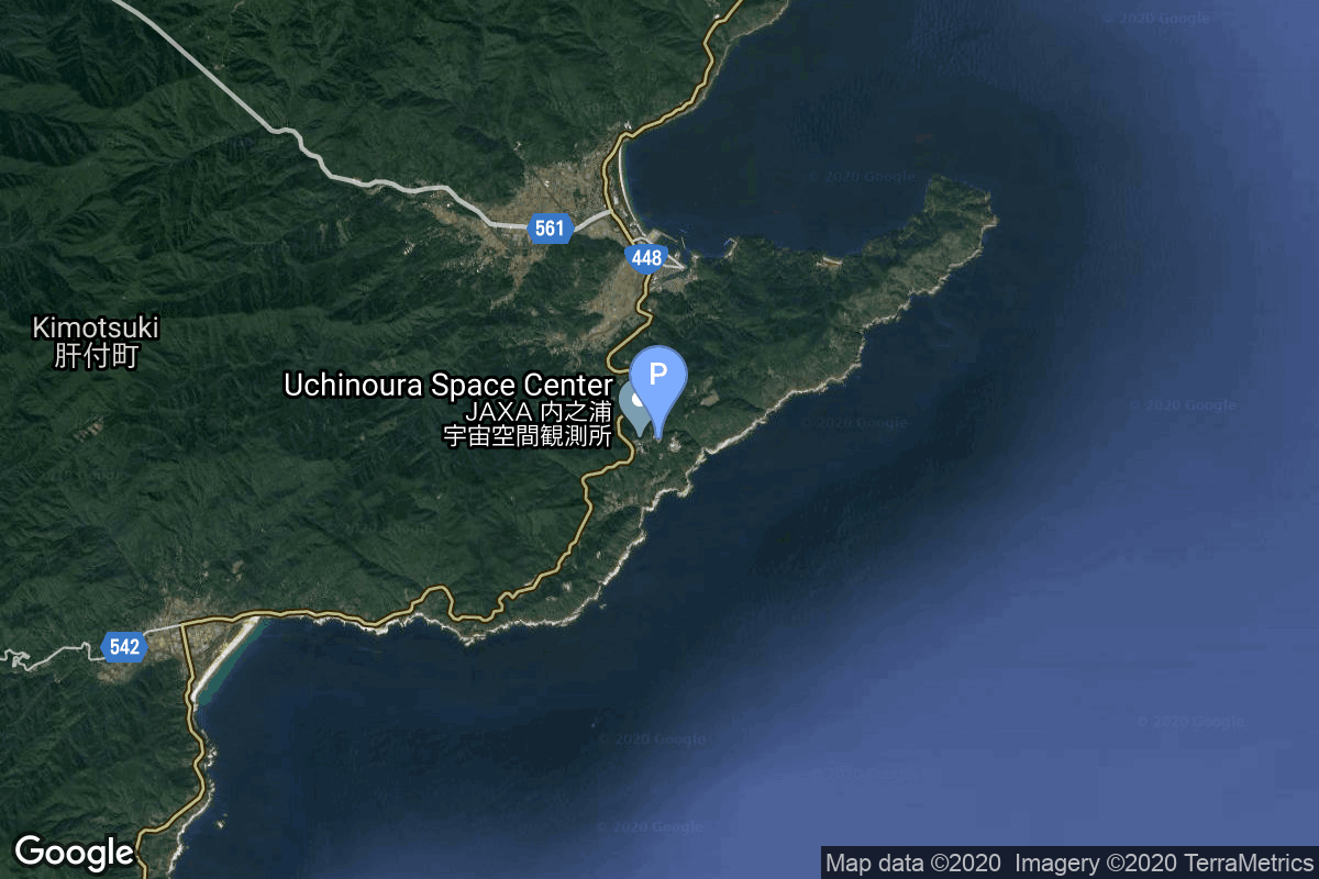
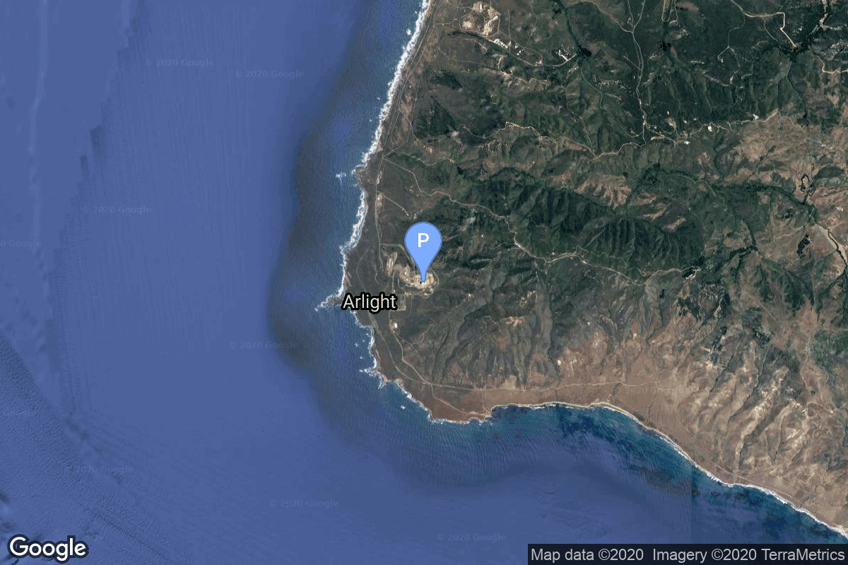
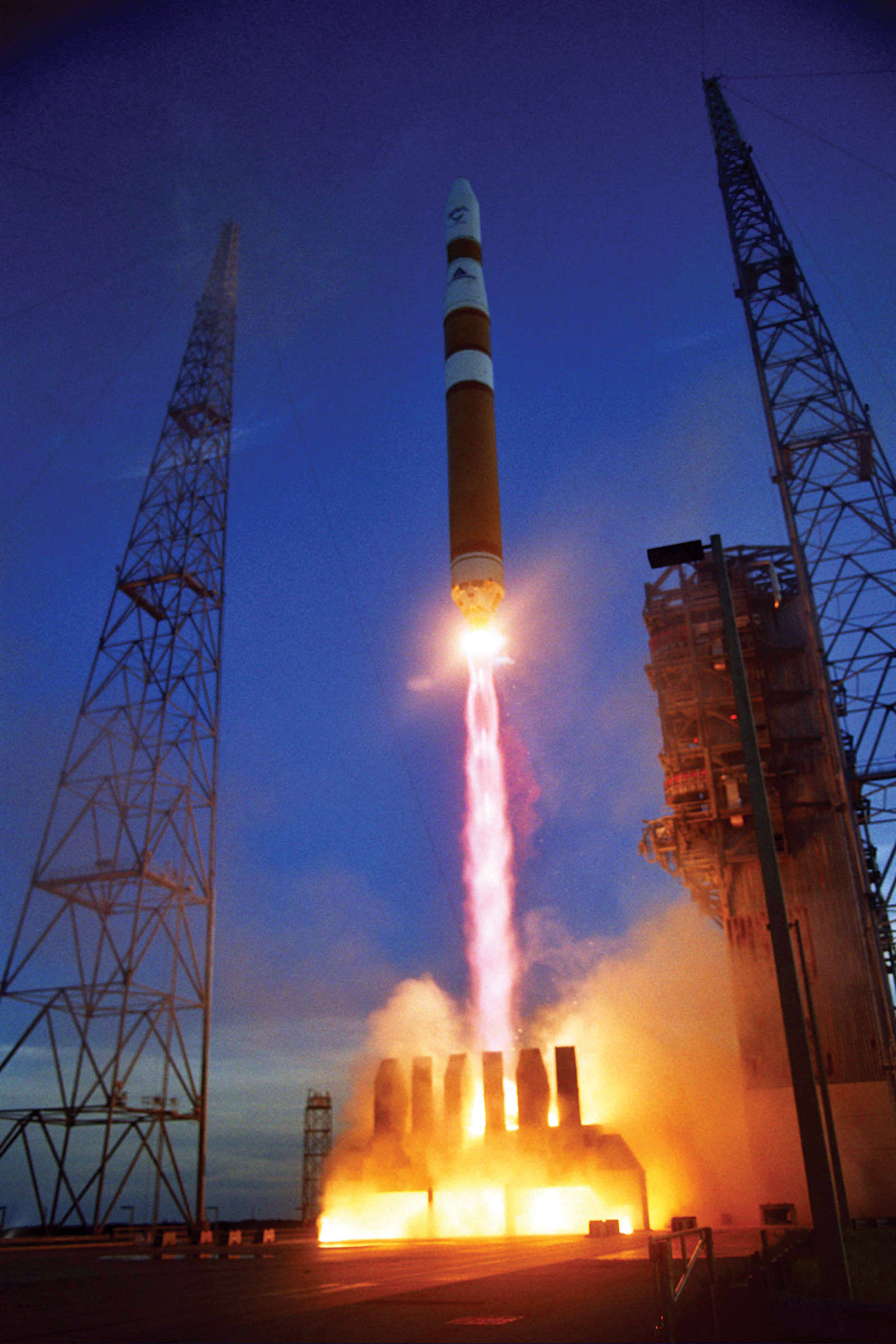
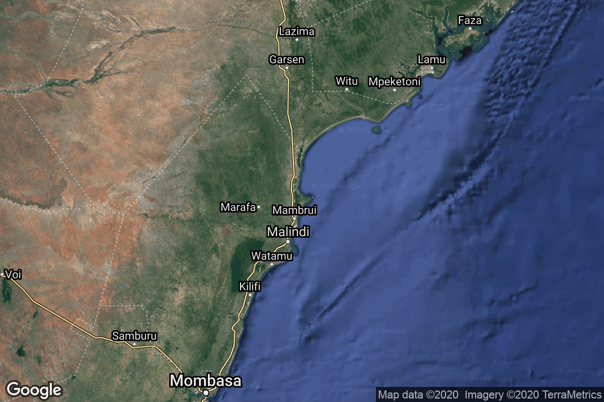
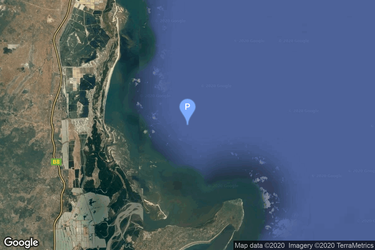
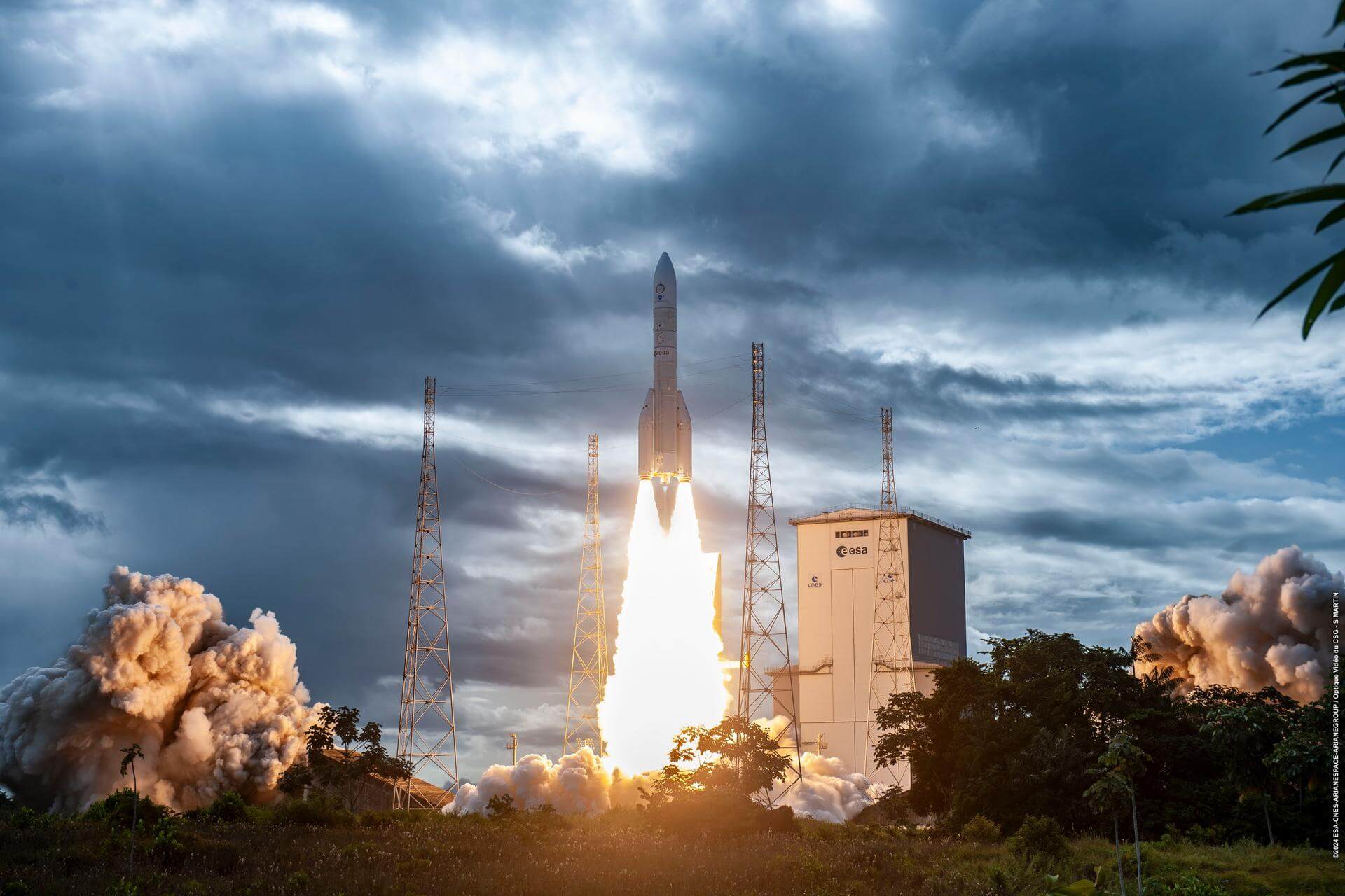
{ "count": 7494, "next": "https://ll.thespacedevs.com/2.0.0/launch/?format=api&limit=10&offset=7170&ordering=-id", "previous": "https://ll.thespacedevs.com/2.0.0/launch/?format=api&limit=10&offset=7150&ordering=-id", "results": [ { "id": "0bcbcdc8-7306-4a0b-8a2e-85dfcad6ab66", "url": "https://ll.thespacedevs.com/2.0.0/launch/0bcbcdc8-7306-4a0b-8a2e-85dfcad6ab66/?format=api", "launch_library_id": null, "slug": "vostok-8a92m-bulgaria-1300", "name": "Vostok 8A92M | Bulgaria 1300", "status": { "id": 3, "name": "Success" }, "net": "1981-08-07T13:35:00Z", "window_end": "1981-08-07T13:35:00Z", "window_start": "1981-08-07T13:35:00Z", "inhold": false, "tbdtime": false, "tbddate": false, "probability": null, "holdreason": "", "failreason": null, "hashtag": null, "launch_service_provider": { "id": 66, "url": "https://ll.thespacedevs.com/2.0.0/agencies/66/?format=api", "name": "Soviet Space Program", "type": "Government" }, "rocket": { "id": 5306, "configuration": { "id": 452, "launch_library_id": null, "url": "https://ll.thespacedevs.com/2.0.0/config/launcher/452/?format=api", "name": "Vostok 8A92M", "family": "Vostok", "full_name": "Vostok 8A92M", "variant": "8A92M" } }, "mission": { "id": 3714, "launch_library_id": null, "name": "Bulgaria 1300", "description": "Interkosmos satellite research satellite carrying scientific experiments designed and built in Bulgaria", "launch_designator": null, "type": "Astrophysics", "orbit": { "id": 8, "name": "Low Earth Orbit", "abbrev": "LEO" } }, "pad": { "id": 36, "url": "https://ll.thespacedevs.com/2.0.0/pad/36/?format=api", "agency_id": 163, "name": "43/3 (43L)", "info_url": null, "wiki_url": null, "map_url": "https://www.google.com/maps?q=62.9273,40.45", "latitude": "62.9273", "longitude": "40.45", "location": { "id": 6, "url": "https://ll.thespacedevs.com/2.0.0/location/6/?format=api", "name": "Plesetsk Cosmodrome, Russian Federation", "country_code": "RUS", "map_image": "https://thespacedevs-prod.nyc3.digitaloceanspaces.com/media/map_images/location_6_20200803142434.jpg", "total_launch_count": 1674, "total_landing_count": 0 }, "map_image": "https://thespacedevs-prod.nyc3.digitaloceanspaces.com/media/map_images/pad_36_20200803143534.jpg", "total_launch_count": 230 }, "webcast_live": false, "image": null, "infographic": null, "program": [] }, { "id": "0bc91464-1d61-4545-95c8-01040dc5eec9", "url": "https://ll.thespacedevs.com/2.0.0/launch/0bc91464-1d61-4545-95c8-01040dc5eec9/?format=api", "launch_library_id": null, "slug": "falcon-9-block-5-starlink-group-4-13", "name": "Falcon 9 Block 5 | Starlink Group 4-13", "status": { "id": 3, "name": "Success" }, "net": "2022-05-13T22:07:50Z", "window_end": "2022-05-13T22:07:50Z", "window_start": "2022-05-13T22:07:50Z", "inhold": false, "tbdtime": false, "tbddate": false, "probability": 40, "holdreason": "", "failreason": "", "hashtag": null, "launch_service_provider": { "id": 121, "url": "https://ll.thespacedevs.com/2.0.0/agencies/121/?format=api", "name": "SpaceX", "type": "Commercial" }, "rocket": { "id": 7554, "configuration": { "id": 164, "launch_library_id": 188, "url": "https://ll.thespacedevs.com/2.0.0/config/launcher/164/?format=api", "name": "Falcon 9", "family": "Falcon", "full_name": "Falcon 9 Block 5", "variant": "Block 5" } }, "mission": { "id": 5980, "launch_library_id": null, "name": "Starlink Group 4-13", "description": "A batch of 53 satellites for Starlink mega-constellation - SpaceX's project for space-based Internet communication system.", "launch_designator": null, "type": "Communications", "orbit": { "id": 8, "name": "Low Earth Orbit", "abbrev": "LEO" } }, "pad": { "id": 16, "url": "https://ll.thespacedevs.com/2.0.0/pad/16/?format=api", "agency_id": null, "name": "Space Launch Complex 4E", "info_url": null, "wiki_url": "https://en.wikipedia.org/wiki/Vandenberg_Space_Launch_Complex_4#SLC-4E", "map_url": "https://www.google.com/maps?q=34.632,-120.611", "latitude": "34.632", "longitude": "-120.611", "location": { "id": 11, "url": "https://ll.thespacedevs.com/2.0.0/location/11/?format=api", "name": "Vandenberg SFB, CA, USA", "country_code": "USA", "map_image": "https://thespacedevs-prod.nyc3.digitaloceanspaces.com/media/map_images/location_11_20200803142416.jpg", "total_launch_count": 806, "total_landing_count": 26 }, "map_image": "https://thespacedevs-prod.nyc3.digitaloceanspaces.com/media/map_images/pad_16_20200803143532.jpg", "total_launch_count": 192 }, "webcast_live": false, "image": "https://thespacedevs-prod.nyc3.digitaloceanspaces.com/media/images/falcon2520925_image_20221009234147.png", "infographic": null, "program": [ { "id": 25, "url": "https://ll.thespacedevs.com/2.0.0/program/25/?format=api", "name": "Starlink", "description": "Starlink is a satellite internet constellation operated by American aerospace company SpaceX", "agencies": [ { "id": 121, "url": "https://ll.thespacedevs.com/2.0.0/agencies/121/?format=api", "name": "SpaceX", "type": "Commercial" } ], "image_url": "https://thespacedevs-prod.nyc3.digitaloceanspaces.com/media/images/starlink_program_20231228154508.jpeg", "start_date": "2018-02-22T14:17:00Z", "end_date": null, "info_url": "https://starlink.com", "wiki_url": "https://en.wikipedia.org/wiki/Starlink" } ] }, { "id": "0bc6f3ef-2408-40d8-9594-93ba42878bf8", "url": "https://ll.thespacedevs.com/2.0.0/launch/0bc6f3ef-2408-40d8-9594-93ba42878bf8/?format=api", "launch_library_id": null, "slug": "atlas-slv-3-agena-d-ats-1", "name": "Atlas SLV-3 Agena D | ATS 1", "status": { "id": 3, "name": "Success" }, "net": "1966-12-07T02:12:01Z", "window_end": "1966-12-07T02:12:01Z", "window_start": "1966-12-07T02:12:01Z", "inhold": false, "tbdtime": false, "tbddate": false, "probability": null, "holdreason": "", "failreason": null, "hashtag": null, "launch_service_provider": { "id": 161, "url": "https://ll.thespacedevs.com/2.0.0/agencies/161/?format=api", "name": "United States Air Force", "type": "Government" }, "rocket": { "id": 3598, "configuration": { "id": 258, "launch_library_id": null, "url": "https://ll.thespacedevs.com/2.0.0/config/launcher/258/?format=api", "name": "Atlas SLV-3 Agena D", "family": "Atlas", "full_name": "Atlas SLV-3 Agena D", "variant": "SLV-3 Agena D" } }, "mission": { "id": 2017, "launch_library_id": null, "name": "ATS 1", "description": "ATS 1 (Applications Technology Satellite) was designed and launched for the purpose of testing new concepts in spacecraft design, propulsion, and stabilization, collecting high-quality cloudcover pictures and relaying processed meteorological data via an earth-synchronous satellite, providing in situ measurements of the aerospace environment, and testing improved communication systems.", "launch_designator": null, "type": "Earth Science", "orbit": { "id": 3, "name": "Geosynchronous Orbit", "abbrev": "GSO" } }, "pad": { "id": 99, "url": "https://ll.thespacedevs.com/2.0.0/pad/99/?format=api", "agency_id": 161, "name": "Launch Complex 12", "info_url": null, "wiki_url": "https://en.wikipedia.org/wiki/Cape_Canaveral_Air_Force_Station_Launch_Complex_12", "map_url": "https://www.google.com/maps?q=28.480607,-80.541938", "latitude": "28.480607", "longitude": "-80.541938", "location": { "id": 12, "url": "https://ll.thespacedevs.com/2.0.0/location/12/?format=api", "name": "Cape Canaveral SFS, FL, USA", "country_code": "USA", "map_image": "https://thespacedevs-prod.nyc3.digitaloceanspaces.com/media/map_images/location_12_20200803142519.jpg", "total_launch_count": 1022, "total_landing_count": 64 }, "map_image": "https://thespacedevs-prod.nyc3.digitaloceanspaces.com/media/map_images/pad_99_20200803143435.jpg", "total_launch_count": 23 }, "webcast_live": false, "image": null, "infographic": null, "program": [] }, { "id": "0baae9ed-2c61-48b5-919a-d7d1d8c6fe73", "url": "https://ll.thespacedevs.com/2.0.0/launch/0baae9ed-2c61-48b5-919a-d7d1d8c6fe73/?format=api", "launch_library_id": null, "slug": "lambda-4s-ohsumi-3", "name": "Lambda 4S | Ohsumi 3", "status": { "id": 4, "name": "Failure" }, "net": "1967-04-13T02:40:00Z", "window_end": "1967-04-13T02:40:00Z", "window_start": "1967-04-13T02:40:00Z", "inhold": false, "tbdtime": false, "tbddate": false, "probability": null, "holdreason": "", "failreason": "", "hashtag": null, "launch_service_provider": { "id": 1009, "url": "https://ll.thespacedevs.com/2.0.0/agencies/1009/?format=api", "name": "Institute of Space and Astronautical Science", "type": "Government" }, "rocket": { "id": 3643, "configuration": { "id": 333, "launch_library_id": null, "url": "https://ll.thespacedevs.com/2.0.0/config/launcher/333/?format=api", "name": "Lambda 4S", "family": "", "full_name": "Lambda 4S", "variant": "4S" } }, "mission": { "id": 2061, "launch_library_id": null, "name": "Ohsumi 3", "description": "Ohsumi was a series of five small satellites built to become the first Japanese satellite on orbit.", "launch_designator": null, "type": "Test Flight", "orbit": { "id": 8, "name": "Low Earth Orbit", "abbrev": "LEO" } }, "pad": { "id": 43, "url": "https://ll.thespacedevs.com/2.0.0/pad/43/?format=api", "agency_id": null, "name": "KS Center", "info_url": null, "wiki_url": "https://en.wikipedia.org/wiki/Uchinoura_Space_Center", "map_url": "https://www.google.com/maps?q=31.2519752,131.0791609", "latitude": "31.2519752", "longitude": "131.0791609", "location": { "id": 24, "url": "https://ll.thespacedevs.com/2.0.0/location/24/?format=api", "name": "Uchinoura Space Center, Japan", "country_code": "JPN", "map_image": "https://thespacedevs-prod.nyc3.digitaloceanspaces.com/media/map_images/location_24_20200803142411.jpg", "total_launch_count": 43, "total_landing_count": 0 }, "map_image": "https://thespacedevs-prod.nyc3.digitaloceanspaces.com/media/map_images/pad_43_20200803143309.jpg", "total_launch_count": 7 }, "webcast_live": false, "image": null, "infographic": null, "program": [] }, { "id": "0b9d958b-14d3-4785-99f3-28719ad61dc0", "url": "https://ll.thespacedevs.com/2.0.0/launch/0b9d958b-14d3-4785-99f3-28719ad61dc0/?format=api", "launch_library_id": null, "slug": "zenit-measat-3a", "name": "Zenit | Measat 3A", "status": { "id": 3, "name": "Success" }, "net": "2009-06-21T21:50:00Z", "window_end": "2009-06-21T21:50:00Z", "window_start": "2009-06-21T21:50:00Z", "inhold": false, "tbdtime": false, "tbddate": false, "probability": null, "holdreason": "", "failreason": null, "hashtag": null, "launch_service_provider": { "id": 122, "url": "https://ll.thespacedevs.com/2.0.0/agencies/122/?format=api", "name": "Sea Launch", "type": "Commercial" }, "rocket": { "id": 7396, "configuration": { "id": 91, "launch_library_id": 94, "url": "https://ll.thespacedevs.com/2.0.0/config/launcher/91/?format=api", "name": "Zenit", "family": "Zenith", "full_name": "Zenit 3SLB", "variant": "3SLB" } }, "mission": { "id": 5785, "launch_library_id": null, "name": "Measat 3A", "description": "Malaysian geostationary communications satellite", "launch_designator": null, "type": "Communications", "orbit": { "id": 1, "name": "Geostationary Orbit", "abbrev": "Direct-GEO" } }, "pad": { "id": 2, "url": "https://ll.thespacedevs.com/2.0.0/pad/2/?format=api", "agency_id": null, "name": "45/1", "info_url": null, "wiki_url": "", "map_url": "https://www.google.com/maps?q=45.943492,63.653014", "latitude": "45.943492", "longitude": "63.653014", "location": { "id": 15, "url": "https://ll.thespacedevs.com/2.0.0/location/15/?format=api", "name": "Baikonur Cosmodrome, Republic of Kazakhstan", "country_code": "KAZ", "map_image": "https://thespacedevs-prod.nyc3.digitaloceanspaces.com/media/map_images/location_15_20200803142517.jpg", "total_launch_count": 1555, "total_landing_count": 0 }, "map_image": "https://thespacedevs-prod.nyc3.digitaloceanspaces.com/media/map_images/pad_2_20200803143256.jpg", "total_launch_count": 46 }, "webcast_live": false, "image": null, "infographic": null, "program": [] }, { "id": "0b900a1e-72a9-498f-8bd1-8d21eefba8d7", "url": "https://ll.thespacedevs.com/2.0.0/launch/0b900a1e-72a9-498f-8bd1-8d21eefba8d7/?format=api", "launch_library_id": null, "slug": "delta-iv-m-dmsp-f-17", "name": "Delta IV M | DMSP F-17", "status": { "id": 3, "name": "Success" }, "net": "2006-11-04T13:53:00Z", "window_end": "2006-11-04T13:53:00Z", "window_start": "2006-11-04T13:53:00Z", "inhold": false, "tbdtime": false, "tbddate": false, "probability": null, "holdreason": "", "failreason": null, "hashtag": null, "launch_service_provider": { "id": 161, "url": "https://ll.thespacedevs.com/2.0.0/agencies/161/?format=api", "name": "United States Air Force", "type": "Government" }, "rocket": { "id": 7292, "configuration": { "id": 458, "launch_library_id": null, "url": "https://ll.thespacedevs.com/2.0.0/config/launcher/458/?format=api", "name": "Delta IV M", "family": "Delta", "full_name": "Delta IV M", "variant": "M" } }, "mission": { "id": 5681, "launch_library_id": null, "name": "DMSP F-17", "description": "11th gen military meteorological satellite", "launch_designator": null, "type": "Earth Science", "orbit": { "id": 17, "name": "Sun-Synchronous Orbit", "abbrev": "SSO" } }, "pad": { "id": 11, "url": "https://ll.thespacedevs.com/2.0.0/pad/11/?format=api", "agency_id": null, "name": "Space Launch Complex 6", "info_url": null, "wiki_url": "https://en.wikipedia.org/wiki/Vandenberg_Space_Launch_Complex_6", "map_url": "https://www.google.com/maps?q=34.5815,-120.6262", "latitude": "34.5815", "longitude": "-120.6262", "location": { "id": 11, "url": "https://ll.thespacedevs.com/2.0.0/location/11/?format=api", "name": "Vandenberg SFB, CA, USA", "country_code": "USA", "map_image": "https://thespacedevs-prod.nyc3.digitaloceanspaces.com/media/map_images/location_11_20200803142416.jpg", "total_launch_count": 806, "total_landing_count": 26 }, "map_image": "https://thespacedevs-prod.nyc3.digitaloceanspaces.com/media/map_images/pad_11_20200803143550.jpg", "total_launch_count": 14 }, "webcast_live": false, "image": "https://thespacedevs-prod.nyc3.digitaloceanspaces.com/media/images/delta_iv_m_image_20200605211709.jpg", "infographic": null, "program": [] }, { "id": "0b896593-2d29-4229-a381-568790d9cfce", "url": "https://ll.thespacedevs.com/2.0.0/launch/0b896593-2d29-4229-a381-568790d9cfce/?format=api", "launch_library_id": null, "slug": "scout-b-san-marco-2", "name": "Scout B | San Marco 2", "status": { "id": 3, "name": "Success" }, "net": "1967-04-26T10:06:24Z", "window_end": "1967-04-26T10:06:24Z", "window_start": "1967-04-26T10:06:24Z", "inhold": false, "tbdtime": false, "tbddate": false, "probability": null, "holdreason": "", "failreason": null, "hashtag": null, "launch_service_provider": { "id": 1018, "url": "https://ll.thespacedevs.com/2.0.0/agencies/1018/?format=api", "name": "National Research Council", "type": "Government" }, "rocket": { "id": 3648, "configuration": { "id": 358, "launch_library_id": null, "url": "https://ll.thespacedevs.com/2.0.0/config/launcher/358/?format=api", "name": "Scout B", "family": "Scout", "full_name": "Scout B", "variant": "B" } }, "mission": { "id": 2066, "launch_library_id": null, "name": "San Marco 2", "description": "San Marco 2 was a 66-cm-diameter spherical satellite with two experiments, one designed to make direct measurements of air density below 350 km, and the other an ionospheric beacon experiment developed to observe electron content between the earth and the satellite.", "launch_designator": null, "type": "Earth Science", "orbit": { "id": 8, "name": "Low Earth Orbit", "abbrev": "LEO" } }, "pad": { "id": 155, "url": "https://ll.thespacedevs.com/2.0.0/pad/155/?format=api", "agency_id": null, "name": "San Marco platform", "info_url": null, "wiki_url": "https://en.wikipedia.org/wiki/Broglio_Space_Center", "map_url": "https://www.google.com/maps?q=-2.9383333,40.210306", "latitude": "-2.9383333", "longitude": "40.210306", "location": { "id": 151, "url": "https://ll.thespacedevs.com/2.0.0/location/151/?format=api", "name": "Broglio Space Center, Kenya", "country_code": "ITA", "map_image": "https://thespacedevs-prod.nyc3.digitaloceanspaces.com/media/map_images/location_151_20200803142409.jpg", "total_launch_count": 9, "total_landing_count": 0 }, "map_image": "https://thespacedevs-prod.nyc3.digitaloceanspaces.com/media/map_images/pad_155_20200803143349.jpg", "total_launch_count": 9 }, "webcast_live": false, "image": null, "infographic": null, "program": [] }, { "id": "0b85fcca-5252-48d7-9ccb-c10b1da9d183", "url": "https://ll.thespacedevs.com/2.0.0/launch/0b85fcca-5252-48d7-9ccb-c10b1da9d183/?format=api", "launch_library_id": null, "slug": "ariane-62-2-x-galileo", "name": "Ariane 62 | 2 x Galileo", "status": { "id": 2, "name": "TBD" }, "net": "2025-12-31T00:00:00Z", "window_end": "2025-12-31T00:00:00Z", "window_start": "2025-12-31T00:00:00Z", "inhold": false, "tbdtime": false, "tbddate": false, "probability": null, "holdreason": "", "failreason": "", "hashtag": null, "launch_service_provider": { "id": 115, "url": "https://ll.thespacedevs.com/2.0.0/agencies/115/?format=api", "name": "Arianespace", "type": "Commercial" }, "rocket": { "id": 7510, "configuration": { "id": 121, "launch_library_id": 164, "url": "https://ll.thespacedevs.com/2.0.0/config/launcher/121/?format=api", "name": "Ariane 62", "family": "Ariane", "full_name": "Ariane 62", "variant": "62" } }, "mission": { "id": 5919, "launch_library_id": null, "name": "2 x Galileo", "description": "Payload consists of two satellites for Europe's Galileo navigation system.", "launch_designator": null, "type": "Navigation", "orbit": { "id": 12, "name": "Medium Earth Orbit", "abbrev": "MEO" } }, "pad": { "id": 67, "url": "https://ll.thespacedevs.com/2.0.0/pad/67/?format=api", "agency_id": 115, "name": "Ariane Launch Area 4", "info_url": null, "wiki_url": "https://en.wikipedia.org/wiki/Guiana_Space_Centre", "map_url": "https://www.google.com/maps?q=5.256319,-52.786838", "latitude": "5.256319", "longitude": "-52.786838", "location": { "id": 13, "url": "https://ll.thespacedevs.com/2.0.0/location/13/?format=api", "name": "Guiana Space Centre, French Guiana", "country_code": "GUF", "map_image": "https://thespacedevs-prod.nyc3.digitaloceanspaces.com/media/map_images/location_13_20200803142412.jpg", "total_launch_count": 325, "total_landing_count": 0 }, "map_image": "https://thespacedevs-prod.nyc3.digitaloceanspaces.com/media/map_images/pad_67_20200803143559.jpg", "total_launch_count": 2 }, "webcast_live": false, "image": "https://thespacedevs-prod.nyc3.digitaloceanspaces.com/media/images/ariane_62_lifto_image_20240711132056.jpeg", "infographic": null, "program": [ { "id": 30, "url": "https://ll.thespacedevs.com/2.0.0/program/30/?format=api", "name": "Galileo", "description": "Galileo is a global navigation satellite system (GNSS) that went live in 2016, created by the European Union through the European Space Agency (ESA), operated by the European Union Agency for the Space Programme (EUSPA).", "agencies": [ { "id": 27, "url": "https://ll.thespacedevs.com/2.0.0/agencies/27/?format=api", "name": "European Space Agency", "type": "Multinational" } ], "image_url": "https://thespacedevs-prod.nyc3.digitaloceanspaces.com/media/images/galileo_program_20231230110547.png", "start_date": "2011-10-21T10:30:00Z", "end_date": null, "info_url": "https://www.gsc-europa.eu/", "wiki_url": "https://en.wikipedia.org/wiki/Galileo_(satellite_navigation)" } ] }, { "id": "0b852c51-3537-42e5-8a9b-7fe6c059112c", "url": "https://ll.thespacedevs.com/2.0.0/launch/0b852c51-3537-42e5-8a9b-7fe6c059112c/?format=api", "launch_library_id": null, "slug": "soyuz-u-pvb-zenit-8-102", "name": "Soyuz-U-PVB | Zenit-8 102", "status": { "id": 3, "name": "Success" }, "net": "1994-06-07T07:20:00Z", "window_end": "1994-06-07T07:20:00Z", "window_start": "1994-06-07T07:20:00Z", "inhold": false, "tbdtime": false, "tbddate": false, "probability": null, "holdreason": "", "failreason": "", "hashtag": null, "launch_service_provider": { "id": 193, "url": "https://ll.thespacedevs.com/2.0.0/agencies/193/?format=api", "name": "Russian Space Forces", "type": "Government" }, "rocket": { "id": 6590, "configuration": { "id": 378, "launch_library_id": null, "url": "https://ll.thespacedevs.com/2.0.0/config/launcher/378/?format=api", "name": "Soyuz-U-PVB", "family": "Soyuz", "full_name": "Soyuz-U-PVB", "variant": "U-PVB" } }, "mission": { "id": 4980, "launch_library_id": null, "name": "Zenit-8 102", "description": "Film-return reconnaissance satellite", "launch_designator": null, "type": "Government/Top Secret", "orbit": { "id": 8, "name": "Low Earth Orbit", "abbrev": "LEO" } }, "pad": { "id": 35, "url": "https://ll.thespacedevs.com/2.0.0/pad/35/?format=api", "agency_id": 163, "name": "16/2", "info_url": null, "wiki_url": "", "map_url": "https://www.google.com/maps?q=62.960091,40.682983", "latitude": "62.960091", "longitude": "40.682983", "location": { "id": 6, "url": "https://ll.thespacedevs.com/2.0.0/location/6/?format=api", "name": "Plesetsk Cosmodrome, Russian Federation", "country_code": "RUS", "map_image": "https://thespacedevs-prod.nyc3.digitaloceanspaces.com/media/map_images/location_6_20200803142434.jpg", "total_launch_count": 1674, "total_landing_count": 0 }, "map_image": "https://thespacedevs-prod.nyc3.digitaloceanspaces.com/media/map_images/pad_35_20200803143306.jpg", "total_launch_count": 136 }, "webcast_live": false, "image": null, "infographic": null, "program": [] }, { "id": "0b7d44c4-ac5e-4daa-bba4-a22a545351ca", "url": "https://ll.thespacedevs.com/2.0.0/launch/0b7d44c4-ac5e-4daa-bba4-a22a545351ca/?format=api", "launch_library_id": 1182, "slug": "pegasus-xl-interstellar-boundary-explorer-ibex", "name": "Pegasus XL | Interstellar Boundary Explorer (IBEX)", "status": { "id": 3, "name": "Success" }, "net": "2008-10-19T17:47:23Z", "window_end": "2008-10-19T17:47:23Z", "window_start": "2008-10-19T17:47:23Z", "inhold": false, "tbdtime": false, "tbddate": false, "probability": -1, "holdreason": "", "failreason": null, "hashtag": null, "launch_service_provider": { "id": 100, "url": "https://ll.thespacedevs.com/2.0.0/agencies/100/?format=api", "name": "Orbital Sciences Corporation", "type": "Commercial" }, "rocket": { "id": 1403, "configuration": { "id": 173, "launch_library_id": 8, "url": "https://ll.thespacedevs.com/2.0.0/config/launcher/173/?format=api", "name": "Pegasus XL", "family": "Pegasus", "full_name": "Pegasus XL", "variant": "" } }, "mission": null, "pad": { "id": 59, "url": "https://ll.thespacedevs.com/2.0.0/pad/59/?format=api", "agency_id": null, "name": "Kwajalein Atoll", "info_url": null, "wiki_url": "https://en.wikipedia.org/wiki/Kwajalein_Atoll", "map_url": "https://www.google.com/maps?q=8.716667,167.733333", "latitude": "8.716667", "longitude": "167.733333", "location": { "id": 20, "url": "https://ll.thespacedevs.com/2.0.0/location/20/?format=api", "name": "Air launch to orbit", "country_code": "???", "map_image": "https://thespacedevs-prod.nyc3.digitaloceanspaces.com/media/map_images/location_20_20200803142433.jpg", "total_launch_count": 51, "total_landing_count": 0 }, "map_image": "https://thespacedevs-prod.nyc3.digitaloceanspaces.com/media/map_images/pad_59_20200803143427.jpg", "total_launch_count": 4 }, "webcast_live": false, "image": "https://thespacedevs-prod.nyc3.digitaloceanspaces.com/media/images/pegasus_xl_moun_image_20240307124328.jpeg", "infographic": null, "program": [] } ] }