Launch List
API endpoint that returns all Launch objects or a single launch.
EXAMPLE - /launch/
GET: Return a list of all Launch objects.
FILTERS: Fields - 'name', 'id(s)', 'lsp_id', 'lsp_name', 'serial_number', 'launcher_config__id', 'rocket__spacecraftflight__spacecraft__name'
MODE: 'normal', 'list', 'detailed' EXAMPLE: ?mode=list
SEARCH: Searches through the launch name, rocket name, launch agency, mission name & spacecraft name. EXAMPLE - ?search=SpaceX
GET /2.0.0/launch/?format=api&offset=7130&ordering=id
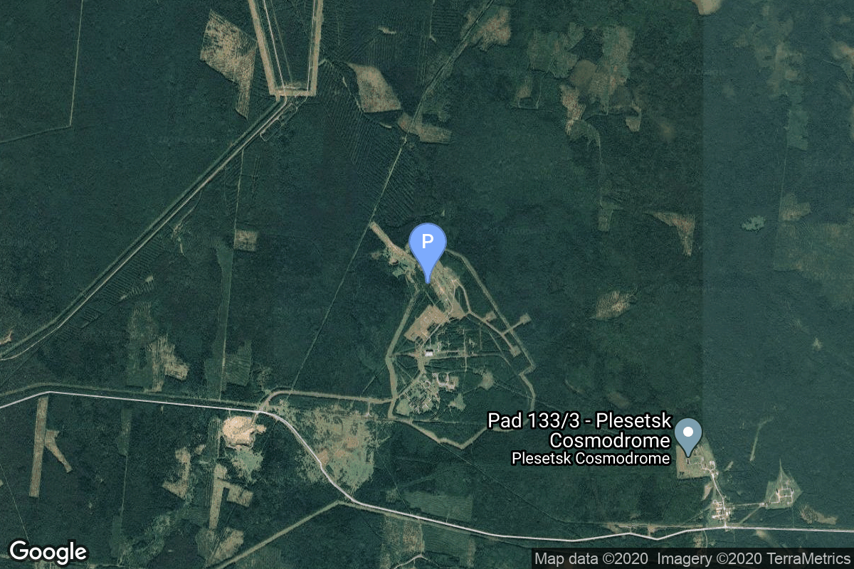
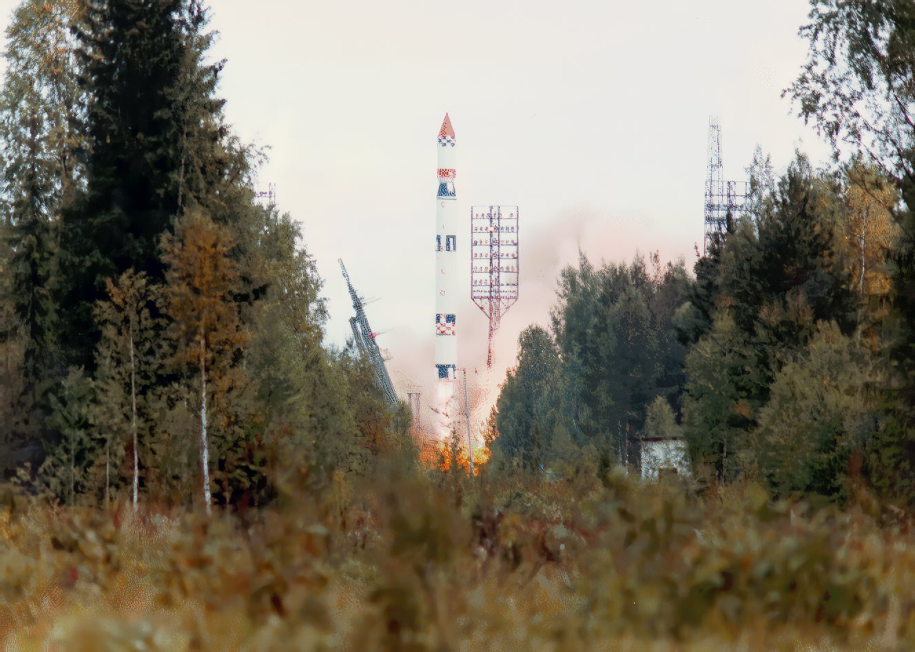
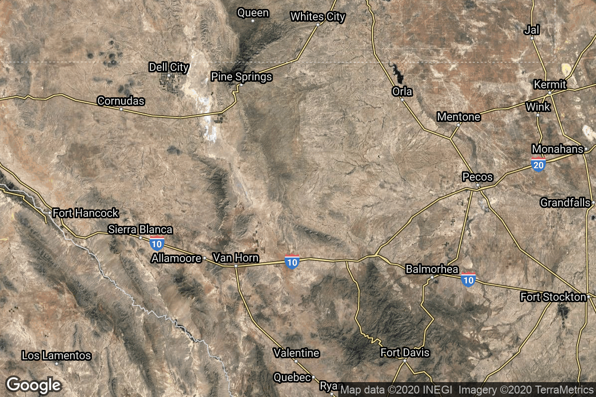
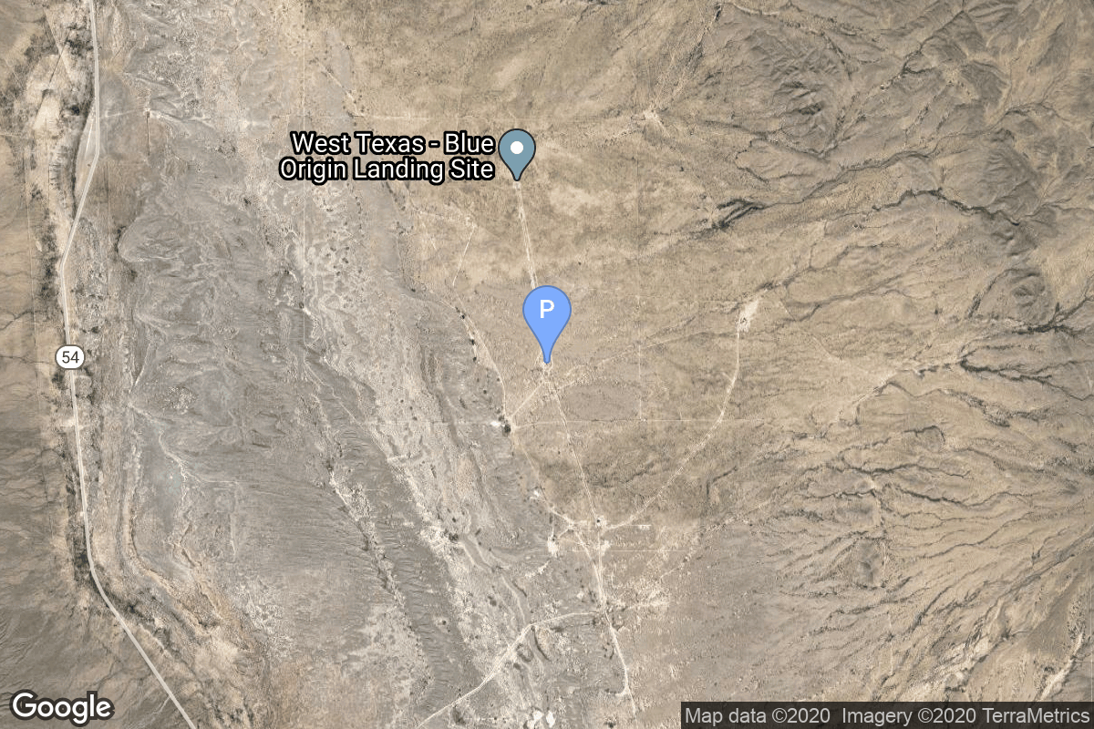
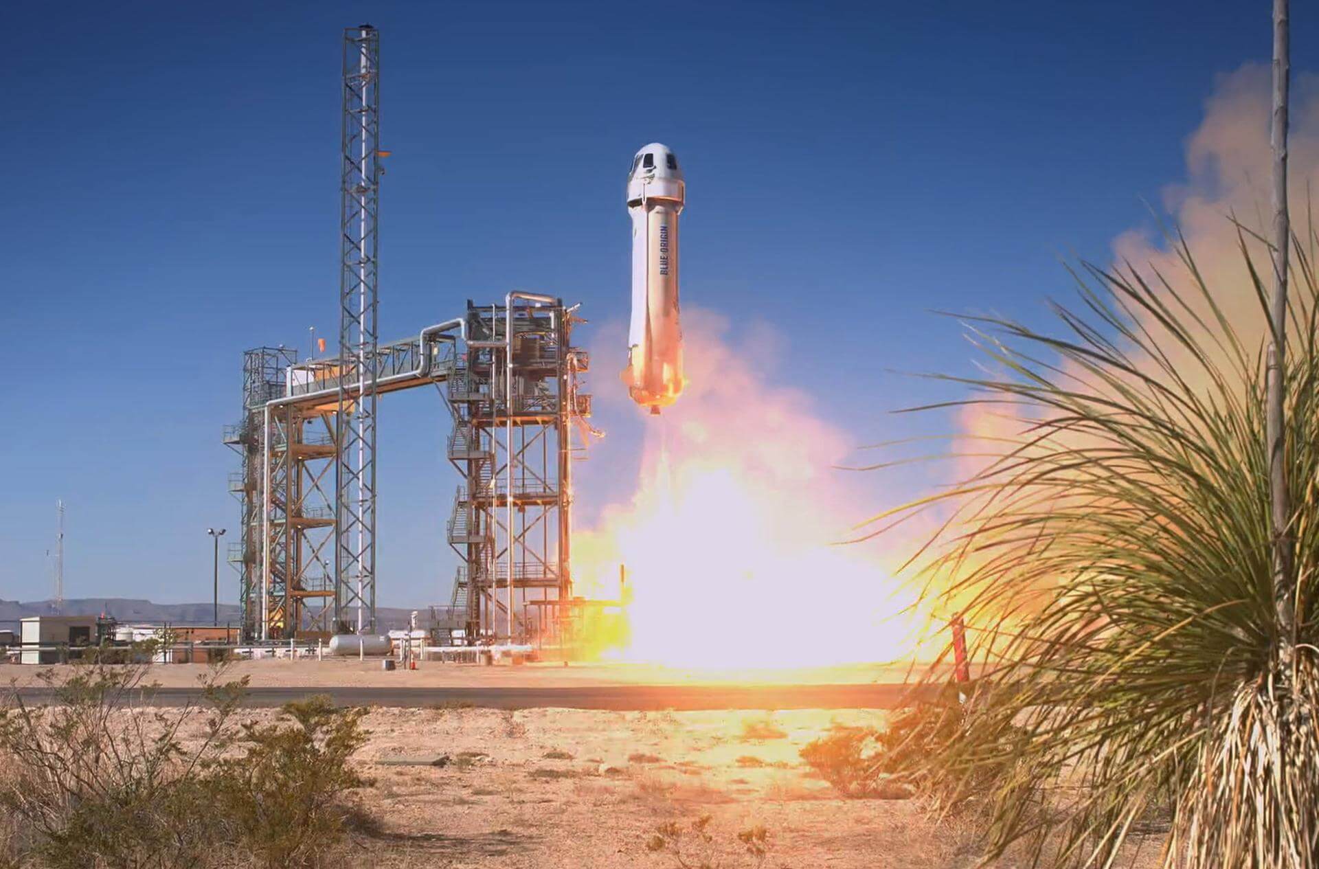
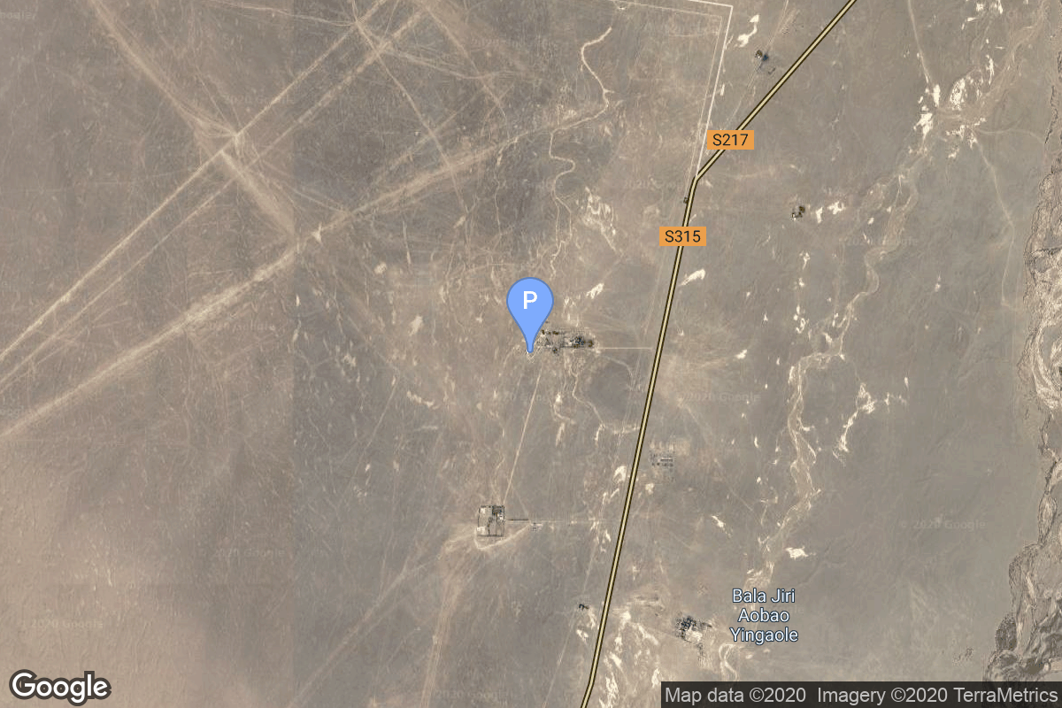
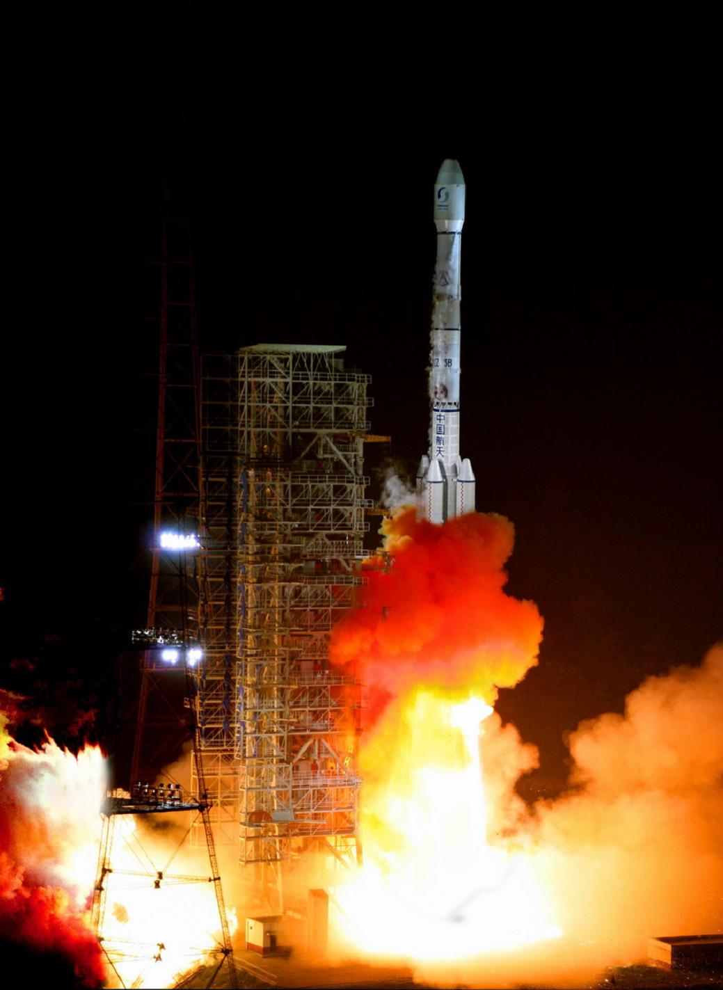
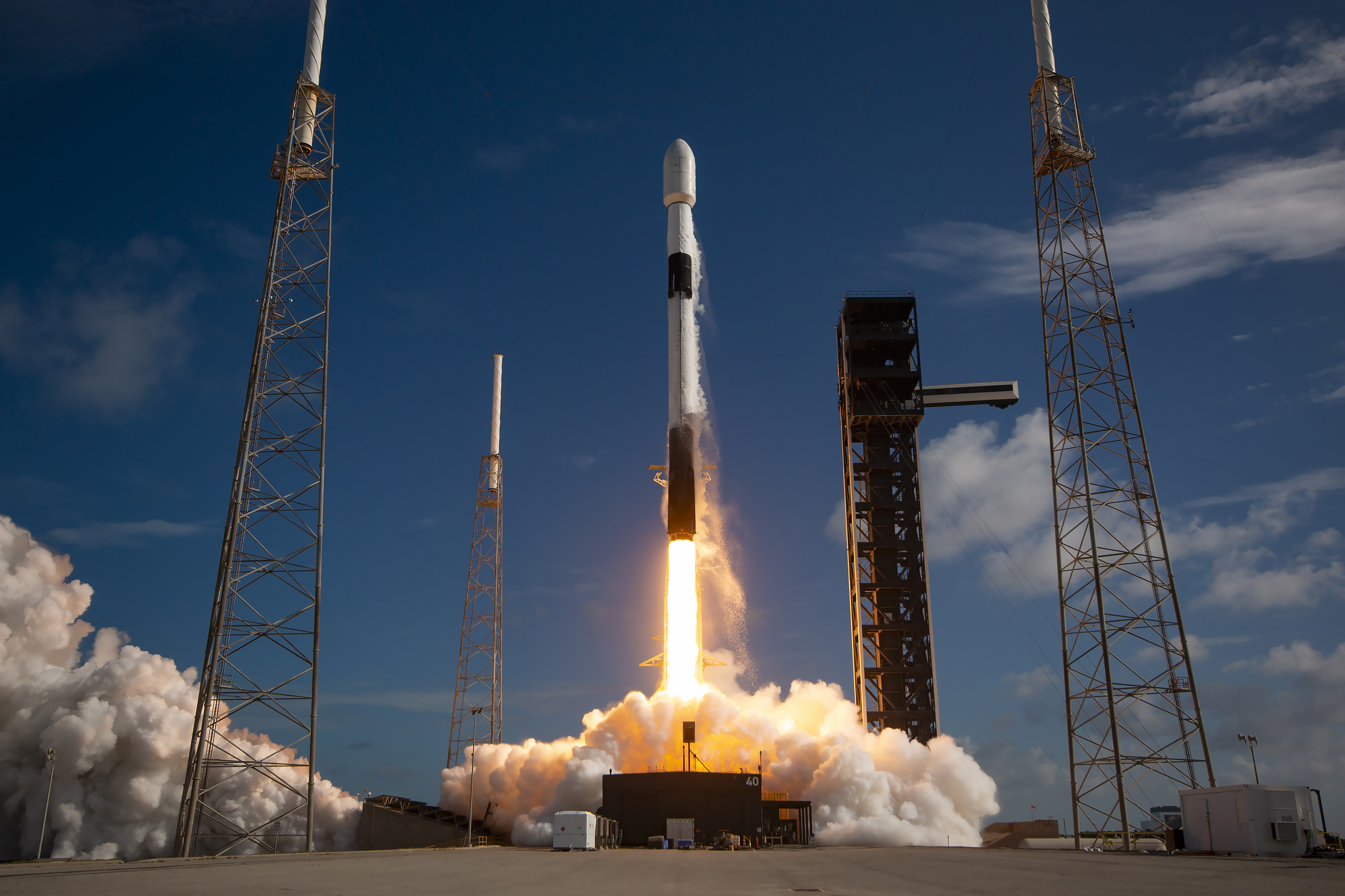
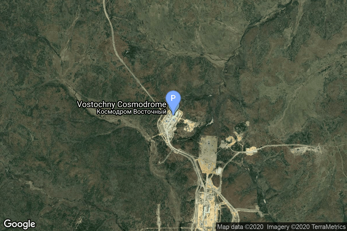
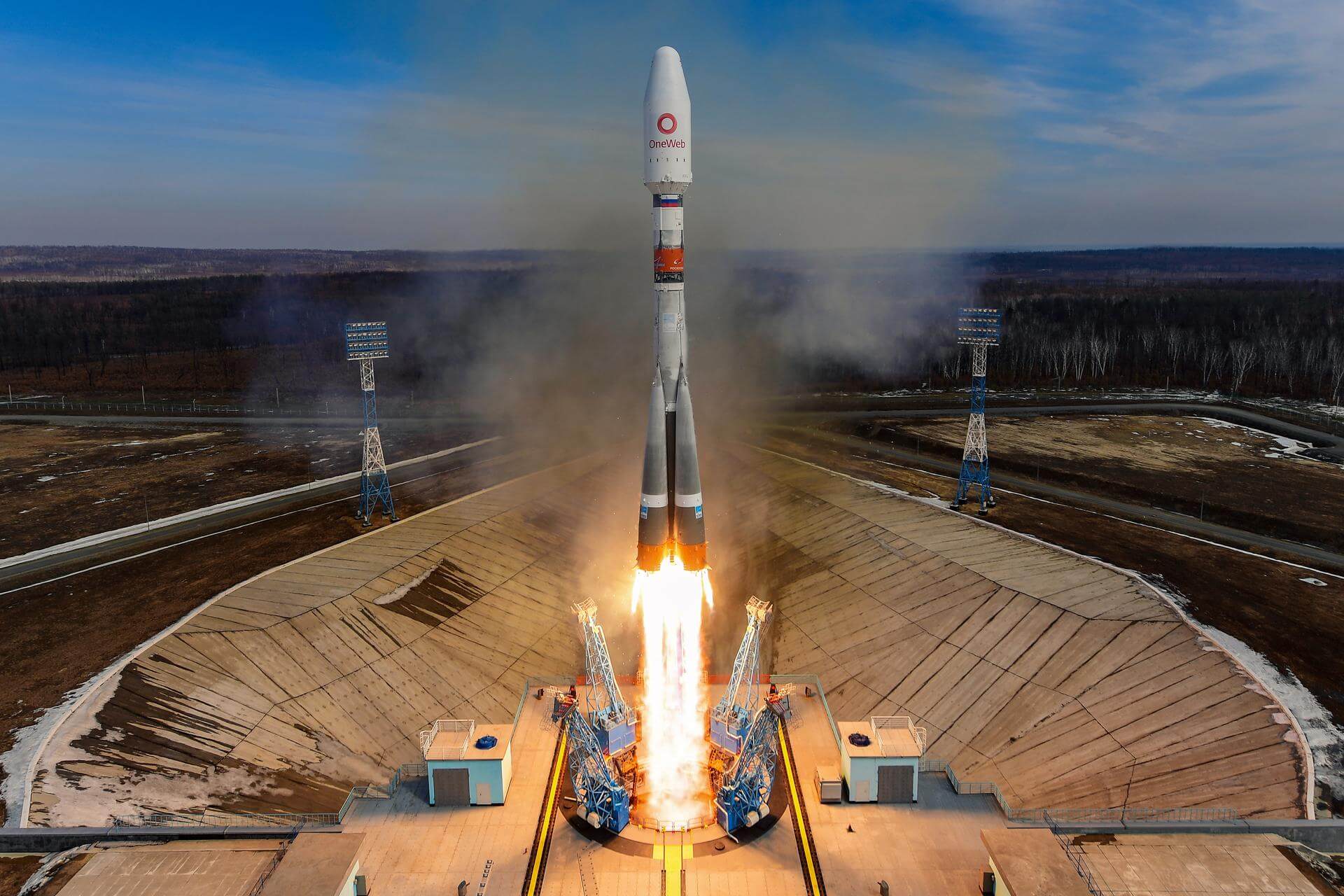
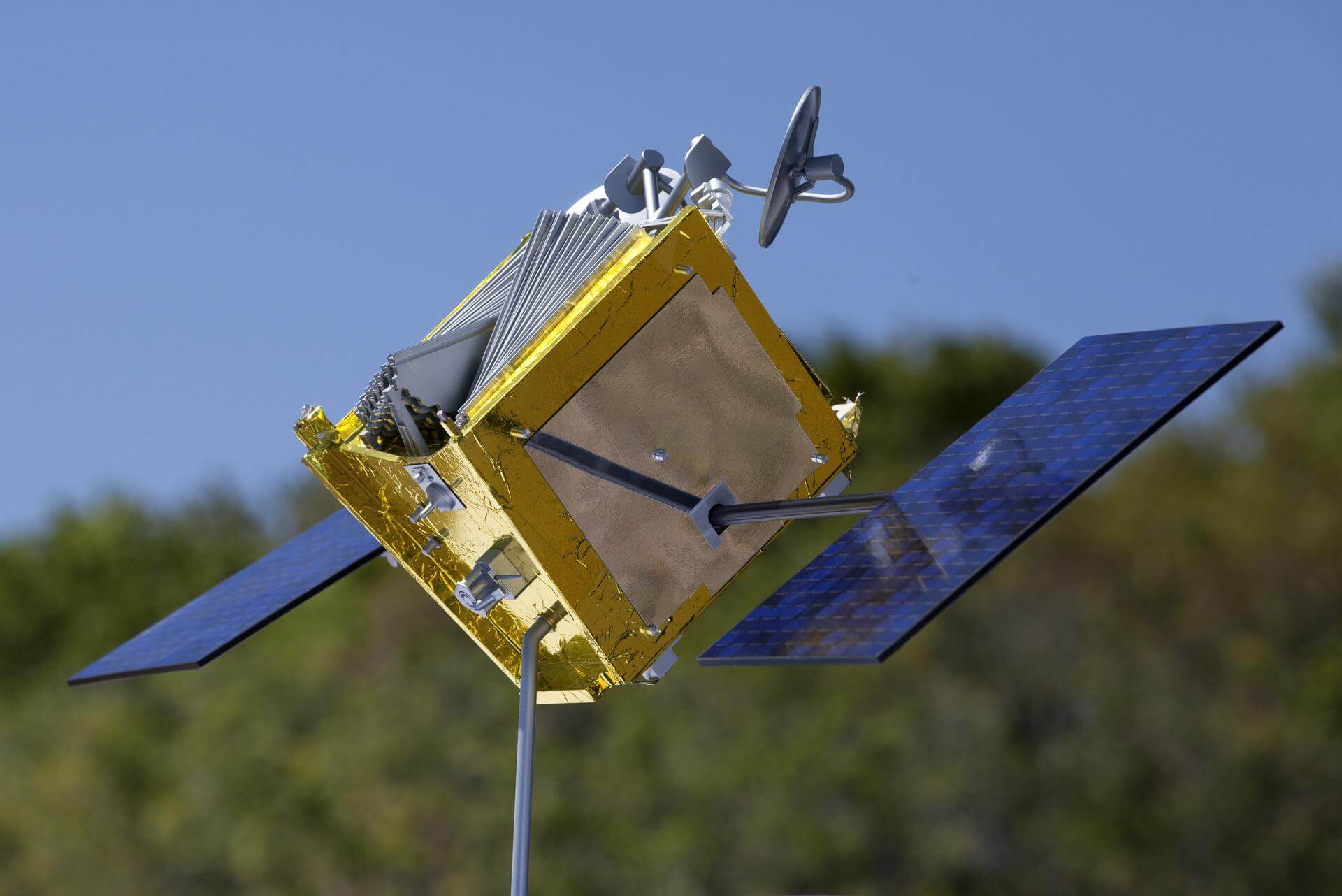
{ "count": 7908, "next": "https://ll.thespacedevs.com/2.0.0/launch/?format=api&limit=10&offset=7140&ordering=id", "previous": "https://ll.thespacedevs.com/2.0.0/launch/?format=api&limit=10&offset=7120&ordering=id", "results": [ { "id": "e590f9bc-b94a-4c43-bb43-4056e4e2be62", "url": "https://ll.thespacedevs.com/2.0.0/launch/e590f9bc-b94a-4c43-bb43-4056e4e2be62/?format=api", "launch_library_id": null, "slug": "tsiklon-3-tselina-d-65", "name": "Tsiklon-3 | Tselina-D 65", "status": { "id": 3, "name": "Success" }, "net": "1988-06-14T03:18:00Z", "window_end": "1988-06-14T03:18:00Z", "window_start": "1988-06-14T03:18:00Z", "inhold": false, "tbdtime": false, "tbddate": false, "probability": null, "holdreason": "", "failreason": null, "hashtag": null, "launch_service_provider": { "id": 66, "url": "https://ll.thespacedevs.com/2.0.0/agencies/66/?format=api", "name": "Soviet Space Program", "type": "Government" }, "rocket": { "id": 6076, "configuration": { "id": 445, "launch_library_id": null, "url": "https://ll.thespacedevs.com/2.0.0/config/launcher/445/?format=api", "name": "Tsiklon-3", "family": "Tsiklon", "full_name": "Tsiklon-3", "variant": "3" } }, "mission": { "id": 4466, "launch_library_id": null, "name": "Tselina-D 65", "description": "Tselina-D satellites provided detailed observation of radio sources detected by the smaller Tselina-O satellites as part of the Tselina ELINT system.", "launch_designator": null, "type": "Government/Top Secret", "orbit": { "id": 8, "name": "Low Earth Orbit", "abbrev": "LEO" } }, "pad": { "id": 127, "url": "https://ll.thespacedevs.com/2.0.0/pad/127/?format=api", "agency_id": 63, "name": "32/2", "info_url": null, "wiki_url": "https://en.wikipedia.org/wiki/Plesetsk_Cosmodrome_Site_32", "map_url": "https://www.google.com/maps?q=62.9063889,40.7844727", "latitude": "62.9063889", "longitude": "40.7844727", "location": { "id": 6, "url": "https://ll.thespacedevs.com/2.0.0/location/6/?format=api", "name": "Plesetsk Cosmodrome, Russian Federation", "country_code": "RUS", "map_image": "https://thespacedevs-prod.nyc3.digitaloceanspaces.com/media/map_images/location_6_20200803142434.jpg", "total_launch_count": 1685, "total_landing_count": 0 }, "map_image": "https://thespacedevs-prod.nyc3.digitaloceanspaces.com/media/map_images/pad_127_20200803143245.jpg", "total_launch_count": 65 }, "webcast_live": false, "image": "https://thespacedevs-prod.nyc3.digitaloceanspaces.com/media/images/tsyklon-3_launc_image_20251112153513.png", "infographic": null, "program": [] }, { "id": "e5969a95-6498-42ff-835f-e685ec75791b", "url": "https://ll.thespacedevs.com/2.0.0/launch/e5969a95-6498-42ff-835f-e685ec75791b/?format=api", "launch_library_id": null, "slug": "new-shepard-ns-32", "name": "New Shepard | NS-32", "status": { "id": 3, "name": "Success" }, "net": "2025-05-31T13:39:11Z", "window_end": "2025-05-31T20:30:00Z", "window_start": "2025-05-31T13:30:00Z", "inhold": false, "tbdtime": false, "tbddate": false, "probability": null, "holdreason": "", "failreason": "", "hashtag": null, "launch_service_provider": { "id": 141, "url": "https://ll.thespacedevs.com/2.0.0/agencies/141/?format=api", "name": "Blue Origin", "type": "Commercial" }, "rocket": { "id": 8622, "configuration": { "id": 137, "launch_library_id": 9999, "url": "https://ll.thespacedevs.com/2.0.0/config/launcher/137/?format=api", "name": "New Shepard", "family": "", "full_name": "New Shepard", "variant": "" } }, "mission": { "id": 7214, "launch_library_id": null, "name": "NS-32", "description": "NS-32 is the 12th crewed flight for the New Shepard program and the 32nd in its history.", "launch_designator": null, "type": "Tourism", "orbit": { "id": 15, "name": "Suborbital", "abbrev": "Sub" } }, "pad": { "id": 90, "url": "https://ll.thespacedevs.com/2.0.0/pad/90/?format=api", "agency_id": 141, "name": "West Texas Suborbital Launch Site/ Corn Ranch", "info_url": "https://www.blueorigin.com", "wiki_url": "https://en.wikipedia.org/wiki/Corn_Ranch", "map_url": "https://www.google.com/maps?q=31.422878000000000,-104.757121000000000", "latitude": "31.422878", "longitude": "-104.757121", "location": { "id": 29, "url": "https://ll.thespacedevs.com/2.0.0/location/29/?format=api", "name": "Corn Ranch, Van Horn, TX, USA", "country_code": "USA", "map_image": "https://thespacedevs-prod.nyc3.digitaloceanspaces.com/media/map_images/location_29_20200803142436.jpg", "total_launch_count": 38, "total_landing_count": 38 }, "map_image": "https://thespacedevs-prod.nyc3.digitaloceanspaces.com/media/map_images/pad_90_20200803143233.jpg", "total_launch_count": 38 }, "webcast_live": false, "image": "https://thespacedevs-prod.nyc3.digitaloceanspaces.com/media/images/new_shepard_lif_image_20240621062033.jpeg", "infographic": null, "program": [] }, { "id": "e59e0d68-4f73-4903-a1b2-a3e68669096a", "url": "https://ll.thespacedevs.com/2.0.0/launch/e59e0d68-4f73-4903-a1b2-a3e68669096a/?format=api", "launch_library_id": null, "slug": "feng-bao-1-shi-jian-2-2a-2b", "name": "Feng Bao 1 | Shi Jian 2, 2A, 2B", "status": { "id": 3, "name": "Success" }, "net": "1981-09-19T21:28:40Z", "window_end": "1981-09-19T21:28:40Z", "window_start": "1981-09-19T21:28:40Z", "inhold": false, "tbdtime": false, "tbddate": false, "probability": null, "holdreason": "", "failreason": "", "hashtag": null, "launch_service_provider": { "id": 1035, "url": "https://ll.thespacedevs.com/2.0.0/agencies/1035/?format=api", "name": "Seventh Ministry of Machine Building Industry", "type": "Government" }, "rocket": { "id": 5324, "configuration": { "id": 318, "launch_library_id": null, "url": "https://ll.thespacedevs.com/2.0.0/config/launcher/318/?format=api", "name": "Feng Bao 1", "family": "", "full_name": "Feng Bao 1", "variant": "1" } }, "mission": { "id": 3732, "launch_library_id": null, "name": "Shi Jian 2, 2A, 2B", "description": "Three Chinese experimental satellites designed to study the micrometeoroids and debris environment in near-Earth space", "launch_designator": null, "type": "Astrophysics", "orbit": { "id": 0, "name": "Elliptical Orbit", "abbrev": "Elliptical" } }, "pad": { "id": 143, "url": "https://ll.thespacedevs.com/2.0.0/pad/143/?format=api", "agency_id": null, "name": "Launch Area 2B", "info_url": null, "wiki_url": "https://en.wikipedia.org/wiki/Jiuquan_Satellite_Launch_Center", "map_url": "https://www.google.com/maps?q=41.306143,100.313229", "latitude": "41.306143", "longitude": "100.313229", "location": { "id": 17, "url": "https://ll.thespacedevs.com/2.0.0/location/17/?format=api", "name": "Jiuquan Satellite Launch Center, People's Republic of China", "country_code": "CHN", "map_image": "https://thespacedevs-prod.nyc3.digitaloceanspaces.com/media/map_images/location_17_20200803142429.jpg", "total_launch_count": 290, "total_landing_count": 2 }, "map_image": "https://thespacedevs-prod.nyc3.digitaloceanspaces.com/media/map_images/pad_143_20200803143313.jpg", "total_launch_count": 26 }, "webcast_live": false, "image": null, "infographic": null, "program": [] }, { "id": "e59f8b3d-b00e-4b98-87ca-e5d9d9001e3a", "url": "https://ll.thespacedevs.com/2.0.0/launch/e59f8b3d-b00e-4b98-87ca-e5d9d9001e3a/?format=api", "launch_library_id": 1262, "slug": "long-march-3b-tjs-2-tjsw-2", "name": "Long March 3B | TJS-2 (TJSW-2)", "status": { "id": 3, "name": "Success" }, "net": "2017-01-05T15:18:04Z", "window_end": "2017-01-05T15:45:00Z", "window_start": "2017-01-05T15:10:00Z", "inhold": false, "tbdtime": false, "tbddate": false, "probability": null, "holdreason": "", "failreason": "", "hashtag": null, "launch_service_provider": { "id": 88, "url": "https://ll.thespacedevs.com/2.0.0/agencies/88/?format=api", "name": "China Aerospace Science and Technology Corporation", "type": "Government" }, "rocket": { "id": 1978, "configuration": { "id": 19, "launch_library_id": 22, "url": "https://ll.thespacedevs.com/2.0.0/config/launcher/19/?format=api", "name": "Long March 3B", "family": "Long March", "full_name": "Long March 3B", "variant": "B" } }, "mission": { "id": 378, "launch_library_id": 496, "name": "TJS 2 (TJSW-2)", "description": "This is supposedly a test communications satellite to operate in geostationary orbit.", "launch_designator": null, "type": "Government/Top Secret", "orbit": { "id": 2, "name": "Geostationary Transfer Orbit", "abbrev": "GTO" } }, "pad": { "id": 45, "url": "https://ll.thespacedevs.com/2.0.0/pad/45/?format=api", "agency_id": null, "name": "Launch Complex 2 (LC-2)", "info_url": null, "wiki_url": "https://en.wikipedia.org/wiki/Xichang_Satellite_Launch_Center", "map_url": "https://www.google.com/maps?q=28.245504,102.026768", "latitude": "28.245504", "longitude": "102.026768", "location": { "id": 16, "url": "https://ll.thespacedevs.com/2.0.0/location/16/?format=api", "name": "Xichang Satellite Launch Center, People's Republic of China", "country_code": "CHN", "map_image": "https://thespacedevs-prod.nyc3.digitaloceanspaces.com/media/map_images/location_16_20200803142513.jpg", "total_launch_count": 241, "total_landing_count": 0 }, "map_image": "https://thespacedevs-prod.nyc3.digitaloceanspaces.com/media/map_images/pad_45_20200803143520.jpg", "total_launch_count": 125 }, "webcast_live": false, "image": "https://thespacedevs-prod.nyc3.digitaloceanspaces.com/media/images/long2520march25203_image_20200102181012.jpg", "infographic": null, "program": [] }, { "id": "e59f9e0b-fed2-4b12-a21b-ceda262bca5e", "url": "https://ll.thespacedevs.com/2.0.0/launch/e59f9e0b-fed2-4b12-a21b-ceda262bca5e/?format=api", "launch_library_id": null, "slug": "falcon-9-block-5-astra-1pses-24", "name": "Falcon 9 Block 5 | Astra 1P/SES-24", "status": { "id": 3, "name": "Success" }, "net": "2024-06-20T21:35:00Z", "window_end": "2024-06-21T00:24:00Z", "window_start": "2024-06-20T21:35:00Z", "inhold": false, "tbdtime": false, "tbddate": false, "probability": 60, "holdreason": "", "failreason": "", "hashtag": null, "launch_service_provider": { "id": 121, "url": "https://ll.thespacedevs.com/2.0.0/agencies/121/?format=api", "name": "SpaceX", "type": "Commercial" }, "rocket": { "id": 8057, "configuration": { "id": 164, "launch_library_id": 188, "url": "https://ll.thespacedevs.com/2.0.0/config/launcher/164/?format=api", "name": "Falcon 9", "family": "Falcon", "full_name": "Falcon 9 Block 5", "variant": "Block 5" } }, "mission": { "id": 6610, "launch_library_id": null, "name": "Astra 1P/SES-24", "description": "ASTRA 1P, a classic wide-beam satellite, will support SES’s prime TV neighbourhood and enable content owners, private and public broadcasters across Germany, France and Spain to continue broadcasting satellite TV channels in the highest-picture quality in the most cost-efficient manner. It will be based on the full electric and powerful Spacebus NEO platform developed by Thales Alenia Space and already flight proven in orbit.", "launch_designator": null, "type": "Communications", "orbit": { "id": 2, "name": "Geostationary Transfer Orbit", "abbrev": "GTO" } }, "pad": { "id": 80, "url": "https://ll.thespacedevs.com/2.0.0/pad/80/?format=api", "agency_id": 121, "name": "Space Launch Complex 40", "info_url": null, "wiki_url": "https://en.wikipedia.org/wiki/Cape_Canaveral_Air_Force_Station_Space_Launch_Complex_40", "map_url": "https://www.google.com/maps?q=28.56194122,-80.57735736", "latitude": "28.56194122", "longitude": "-80.57735736", "location": { "id": 12, "url": "https://ll.thespacedevs.com/2.0.0/location/12/?format=api", "name": "Cape Canaveral SFS, FL, USA", "country_code": "USA", "map_image": "https://thespacedevs-prod.nyc3.digitaloceanspaces.com/media/map_images/location_12_20200803142519.jpg", "total_launch_count": 1116, "total_landing_count": 75 }, "map_image": "https://thespacedevs-prod.nyc3.digitaloceanspaces.com/media/map_images/pad_80_20200803143323.jpg", "total_launch_count": 389 }, "webcast_live": false, "image": "https://thespacedevs-prod.nyc3.digitaloceanspaces.com/media/images/f9_liftoff_from_image_20240621050513.jpeg", "infographic": null, "program": [] }, { "id": "e5aae201-bd0b-4b7b-9ef0-213a3ad9e578", "url": "https://ll.thespacedevs.com/2.0.0/launch/e5aae201-bd0b-4b7b-9ef0-213a3ad9e578/?format=api", "launch_library_id": null, "slug": "molniya-m-us-k-51", "name": "Molniya-M | US-K 51", "status": { "id": 3, "name": "Success" }, "net": "1986-11-20T12:09:20Z", "window_end": "1986-11-20T12:09:20Z", "window_start": "1986-11-20T12:09:20Z", "inhold": false, "tbdtime": false, "tbddate": false, "probability": null, "holdreason": "", "failreason": null, "hashtag": null, "launch_service_provider": { "id": 66, "url": "https://ll.thespacedevs.com/2.0.0/agencies/66/?format=api", "name": "Soviet Space Program", "type": "Government" }, "rocket": { "id": 5912, "configuration": { "id": 106, "launch_library_id": 126, "url": "https://ll.thespacedevs.com/2.0.0/config/launcher/106/?format=api", "name": "Molniya-M", "family": "R-7", "full_name": "Molniya-M 2BL", "variant": "2BL" } }, "mission": { "id": 4308, "launch_library_id": null, "name": "US-K 51", "description": "Early warning satellite", "launch_designator": null, "type": "Government/Top Secret", "orbit": { "id": 0, "name": "Elliptical Orbit", "abbrev": "Elliptical" } }, "pad": { "id": 35, "url": "https://ll.thespacedevs.com/2.0.0/pad/35/?format=api", "agency_id": 163, "name": "16/2", "info_url": null, "wiki_url": "", "map_url": "https://www.google.com/maps?q=62.960091,40.682983", "latitude": "62.960091", "longitude": "40.682983", "location": { "id": 6, "url": "https://ll.thespacedevs.com/2.0.0/location/6/?format=api", "name": "Plesetsk Cosmodrome, Russian Federation", "country_code": "RUS", "map_image": "https://thespacedevs-prod.nyc3.digitaloceanspaces.com/media/map_images/location_6_20200803142434.jpg", "total_launch_count": 1685, "total_landing_count": 0 }, "map_image": "https://thespacedevs-prod.nyc3.digitaloceanspaces.com/media/map_images/pad_35_20200803143306.jpg", "total_launch_count": 136 }, "webcast_live": false, "image": "https://thespacedevs-prod.nyc3.digitaloceanspaces.com/media/images/molniya_m_image_20251102061752.jpg", "infographic": null, "program": [] }, { "id": "e5b09101-ec92-4a00-b553-a64ac69d809c", "url": "https://ll.thespacedevs.com/2.0.0/launch/e5b09101-ec92-4a00-b553-a64ac69d809c/?format=api", "launch_library_id": 222, "slug": "ariane-5-eca-sky-muster-i-nbn-co-1a-arsat-2", "name": "Ariane 5 ECA | Sky Muster I (NBN-Co 1A) & ARSAT-2", "status": { "id": 3, "name": "Success" }, "net": "2015-09-30T20:30:07Z", "window_end": "2015-09-30T20:30:07Z", "window_start": "2015-09-30T20:30:07Z", "inhold": false, "tbdtime": false, "tbddate": false, "probability": null, "holdreason": "", "failreason": null, "hashtag": null, "launch_service_provider": { "id": 115, "url": "https://ll.thespacedevs.com/2.0.0/agencies/115/?format=api", "name": "Arianespace", "type": "Commercial" }, "rocket": { "id": 1088, "configuration": { "id": 20, "launch_library_id": 27, "url": "https://ll.thespacedevs.com/2.0.0/config/launcher/20/?format=api", "name": "Ariane 5 ECA", "family": "Ariane", "full_name": "Ariane 5 ECA", "variant": "ECA" } }, "mission": { "id": 244, "launch_library_id": 347, "name": "Sky Muster I (NBN-Co 1A) & ARSAT-2", "description": "NBN-Co 1A, nicknamed Sky Muster I, is a high-throughput communications satellite tasked with providing high-speed broadband service to rural and remote areas of Australia. Launched along with it is the Argentinian geostationary communications satellite ARSAT-2.", "launch_designator": null, "type": "Communications", "orbit": { "id": 2, "name": "Geostationary Transfer Orbit", "abbrev": "GTO" } }, "pad": { "id": 77, "url": "https://ll.thespacedevs.com/2.0.0/pad/77/?format=api", "agency_id": 115, "name": "Ariane Launch Area 3", "info_url": null, "wiki_url": "https://en.wikipedia.org/wiki/ELA-3", "map_url": "https://www.google.com/maps?q=5.239,-52.768", "latitude": "5.239", "longitude": "-52.768", "location": { "id": 13, "url": "https://ll.thespacedevs.com/2.0.0/location/13/?format=api", "name": "Guiana Space Centre, French Guiana", "country_code": "GUF", "map_image": "https://thespacedevs-prod.nyc3.digitaloceanspaces.com/media/map_images/location_13_20200803142412.jpg", "total_launch_count": 334, "total_landing_count": 0 }, "map_image": "https://thespacedevs-prod.nyc3.digitaloceanspaces.com/media/map_images/pad_77_20200803143458.jpg", "total_launch_count": 118 }, "webcast_live": false, "image": "https://thespacedevs-prod.nyc3.digitaloceanspaces.com/media/images/ariane252052520eca_image_20190224012333.jpeg", "infographic": null, "program": [] }, { "id": "e5bd2514-51a1-4fd1-b632-b7626b396841", "url": "https://ll.thespacedevs.com/2.0.0/launch/e5bd2514-51a1-4fd1-b632-b7626b396841/?format=api", "launch_library_id": null, "slug": "soyuz-u-yantar-4k2-46", "name": "Soyuz U | Yantar-4K2 46", "status": { "id": 3, "name": "Success" }, "net": "1989-05-17T13:00:00Z", "window_end": "1989-05-17T13:00:00Z", "window_start": "1989-05-17T13:00:00Z", "inhold": false, "tbdtime": false, "tbddate": false, "probability": null, "holdreason": "", "failreason": null, "hashtag": null, "launch_service_provider": { "id": 66, "url": "https://ll.thespacedevs.com/2.0.0/agencies/66/?format=api", "name": "Soviet Space Program", "type": "Government" }, "rocket": { "id": 6171, "configuration": { "id": 37, "launch_library_id": 35, "url": "https://ll.thespacedevs.com/2.0.0/config/launcher/37/?format=api", "name": "Soyuz U", "family": "Soyuz", "full_name": "Soyuz U", "variant": "" } }, "mission": { "id": 4561, "launch_library_id": null, "name": "Yantar-4K2 46", "description": "Film-return reconnaissance satellite", "launch_designator": null, "type": "Government/Top Secret", "orbit": { "id": 8, "name": "Low Earth Orbit", "abbrev": "LEO" } }, "pad": { "id": 32, "url": "https://ll.thespacedevs.com/2.0.0/pad/32/?format=api", "agency_id": null, "name": "1/5", "info_url": null, "wiki_url": "", "map_url": "https://www.google.com/maps?q=45.92,63.342", "latitude": "45.92", "longitude": "63.342", "location": { "id": 15, "url": "https://ll.thespacedevs.com/2.0.0/location/15/?format=api", "name": "Baikonur Cosmodrome, Republic of Kazakhstan", "country_code": "KAZ", "map_image": "https://thespacedevs-prod.nyc3.digitaloceanspaces.com/media/map_images/location_15_20200803142517.jpg", "total_launch_count": 1563, "total_landing_count": 0 }, "map_image": "https://thespacedevs-prod.nyc3.digitaloceanspaces.com/media/map_images/pad_32_20200803143513.jpg", "total_launch_count": 487 }, "webcast_live": false, "image": "https://thespacedevs-prod.nyc3.digitaloceanspaces.com/media/images/soyuz2520u_image_20190222031023.jpeg", "infographic": null, "program": [] }, { "id": "e5bd8f98-cf17-4563-8c2f-9063c803663d", "url": "https://ll.thespacedevs.com/2.0.0/launch/e5bd8f98-cf17-4563-8c2f-9063c803663d/?format=api", "launch_library_id": 1591, "slug": "falcon-9-block-5-nusantara-satu-gto-1-beresheet-s5", "name": "Falcon 9 Block 5 | Nusantara Satu & GTO-1 (Beresheet, S5)", "status": { "id": 3, "name": "Success" }, "net": "2019-02-22T01:45:00Z", "window_end": "2019-02-22T02:17:00Z", "window_start": "2019-02-22T01:45:00Z", "inhold": false, "tbdtime": false, "tbddate": false, "probability": 80, "holdreason": "", "failreason": null, "hashtag": null, "launch_service_provider": { "id": 121, "url": "https://ll.thespacedevs.com/2.0.0/agencies/121/?format=api", "name": "SpaceX", "type": "Commercial" }, "rocket": { "id": 76, "configuration": { "id": 164, "launch_library_id": 188, "url": "https://ll.thespacedevs.com/2.0.0/config/launcher/164/?format=api", "name": "Falcon 9", "family": "Falcon", "full_name": "Falcon 9 Block 5", "variant": "Block 5" } }, "mission": { "id": 655, "launch_library_id": 838, "name": "GTO-1 (Beresheet, S5)", "description": "Spaceflight’s first mission beyond Lower Earth Orbit (LEO) and its first combined launch with SSL. Consists out lunar lander called Beresheet (Hebrew for in the beginning) and AFRL’s S5 satellite.", "launch_designator": null, "type": "Dedicated Rideshare", "orbit": { "id": 11, "name": "Lunar Orbit", "abbrev": "LO" } }, "pad": { "id": 80, "url": "https://ll.thespacedevs.com/2.0.0/pad/80/?format=api", "agency_id": 121, "name": "Space Launch Complex 40", "info_url": null, "wiki_url": "https://en.wikipedia.org/wiki/Cape_Canaveral_Air_Force_Station_Space_Launch_Complex_40", "map_url": "https://www.google.com/maps?q=28.56194122,-80.57735736", "latitude": "28.56194122", "longitude": "-80.57735736", "location": { "id": 12, "url": "https://ll.thespacedevs.com/2.0.0/location/12/?format=api", "name": "Cape Canaveral SFS, FL, USA", "country_code": "USA", "map_image": "https://thespacedevs-prod.nyc3.digitaloceanspaces.com/media/map_images/location_12_20200803142519.jpg", "total_launch_count": 1116, "total_landing_count": 75 }, "map_image": "https://thespacedevs-prod.nyc3.digitaloceanspaces.com/media/map_images/pad_80_20200803143323.jpg", "total_launch_count": 389 }, "webcast_live": false, "image": "https://thespacedevs-prod.nyc3.digitaloceanspaces.com/media/images/falcon_9_image_20230807133459.jpeg", "infographic": null, "program": [] }, { "id": "e5bf5439-7687-4f67-b70d-9d1c0cf8e0dc", "url": "https://ll.thespacedevs.com/2.0.0/launch/e5bf5439-7687-4f67-b70d-9d1c0cf8e0dc/?format=api", "launch_library_id": 2015, "slug": "soyuz-21bfregat-m-oneweb-7", "name": "Soyuz 2.1b/Fregat-M | OneWeb 7", "status": { "id": 3, "name": "Success" }, "net": "2021-05-28T17:38:39Z", "window_end": "2021-05-28T17:38:39Z", "window_start": "2021-05-28T17:38:39Z", "inhold": false, "tbdtime": false, "tbddate": false, "probability": null, "holdreason": "", "failreason": "", "hashtag": null, "launch_service_provider": { "id": 115, "url": "https://ll.thespacedevs.com/2.0.0/agencies/115/?format=api", "name": "Arianespace", "type": "Commercial" }, "rocket": { "id": 2604, "configuration": { "id": 134, "launch_library_id": 153, "url": "https://ll.thespacedevs.com/2.0.0/config/launcher/134/?format=api", "name": "Soyuz 2.1b/Fregat-M", "family": "Soyuz", "full_name": "Soyuz 2.1b Fregat-M", "variant": "Fregat-M" } }, "mission": { "id": 1256, "launch_library_id": null, "name": "OneWeb 7", "description": "A batch of 36 satellites for the OneWeb satellite constellation, which is intended to provide global Internet broadband service for individual consumers. The constellation is planned to have around 648 microsatellites (of which 60 are spares), around 150 kg each, operating in Ku-band from low Earth orbit.", "launch_designator": null, "type": "Communications", "orbit": { "id": 13, "name": "Polar Orbit", "abbrev": "PO" } }, "pad": { "id": 83, "url": "https://ll.thespacedevs.com/2.0.0/pad/83/?format=api", "agency_id": 63, "name": "Cosmodrome Site 1S", "info_url": null, "wiki_url": "https://en.wikipedia.org/wiki/Vostochny_Cosmodrome", "map_url": "https://www.google.com/maps?q=51.884395,128.333932", "latitude": "51.884395", "longitude": "128.333932", "location": { "id": 18, "url": "https://ll.thespacedevs.com/2.0.0/location/18/?format=api", "name": "Vostochny Cosmodrome, Siberia, Russian Federation", "country_code": "RUS", "map_image": "https://thespacedevs-prod.nyc3.digitaloceanspaces.com/media/map_images/location_18_20200803142401.jpg", "total_launch_count": 21, "total_landing_count": 0 }, "map_image": "https://thespacedevs-prod.nyc3.digitaloceanspaces.com/media/map_images/pad_83_20200803143544.jpg", "total_launch_count": 20 }, "webcast_live": false, "image": "https://thespacedevs-prod.nyc3.digitaloceanspaces.com/media/images/soyuz25202.1b_image_20210520085936.jpeg", "infographic": null, "program": [ { "id": 26, "url": "https://ll.thespacedevs.com/2.0.0/program/26/?format=api", "name": "OneWeb", "description": "Satellite constellation in low Earth orbit that can provide high-speed broadband internet to rural and isolated areas.", "agencies": [ { "id": 1081, "url": "https://ll.thespacedevs.com/2.0.0/agencies/1081/?format=api", "name": "Eutelsat OneWeb", "type": "Commercial" } ], "image_url": "https://thespacedevs-prod.nyc3.digitaloceanspaces.com/media/images/oneweb_program_20231228155842.jpeg", "start_date": "2019-02-27T21:37:00Z", "end_date": null, "info_url": "https://oneweb.net/", "wiki_url": "https://en.wikipedia.org/wiki/Eutelsat_OneWeb" } ] } ] }