Launch List
API endpoint that returns all Launch objects or a single launch.
EXAMPLE - /launch/
GET: Return a list of all Launch objects.
FILTERS: Fields - 'name', 'id(s)', 'lsp_id', 'lsp_name', 'serial_number', 'launcher_config__id', 'rocket__spacecraftflight__spacecraft__name'
MODE: 'normal', 'list', 'detailed' EXAMPLE: ?mode=list
SEARCH: Searches through the launch name, rocket name, launch agency, mission name & spacecraft name. EXAMPLE - ?search=SpaceX
GET /2.0.0/launch/?format=api&offset=7100&ordering=id
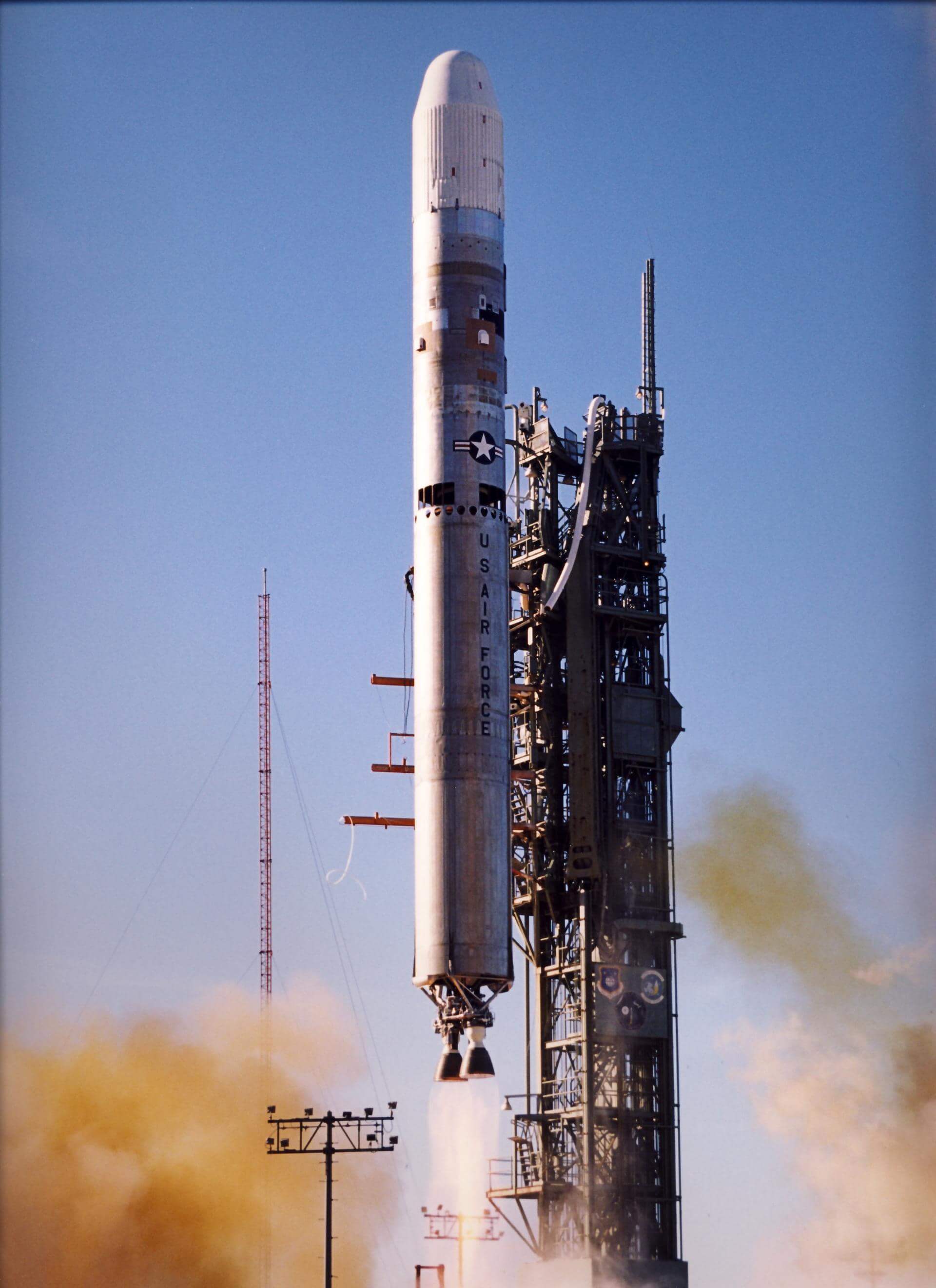
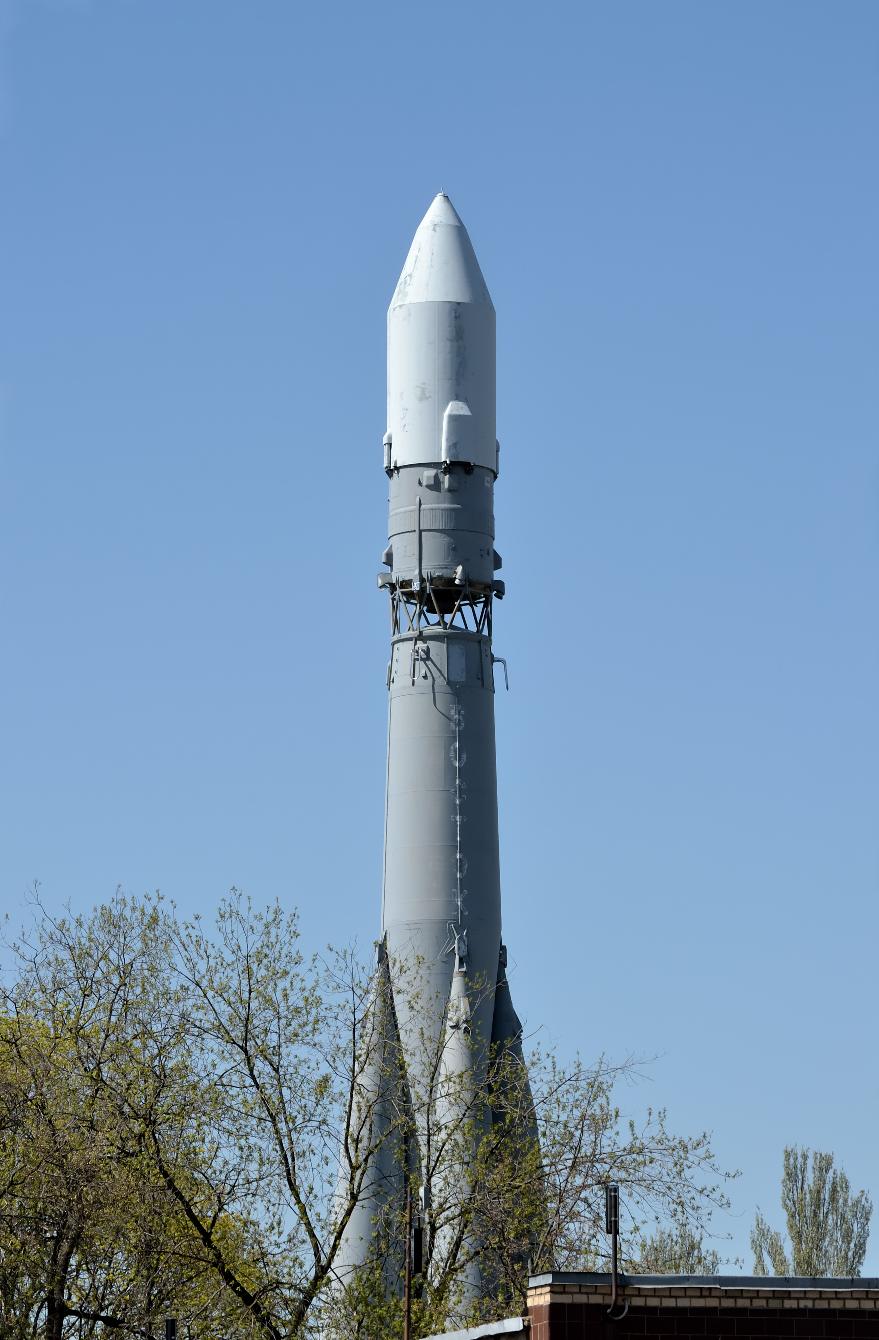
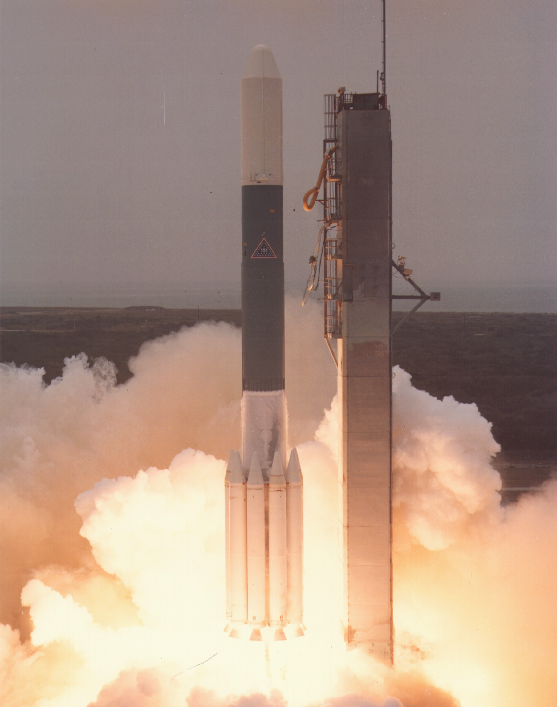
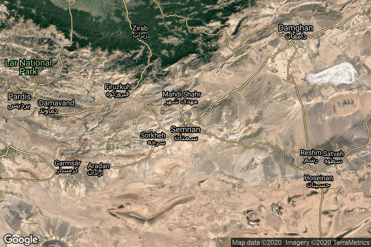
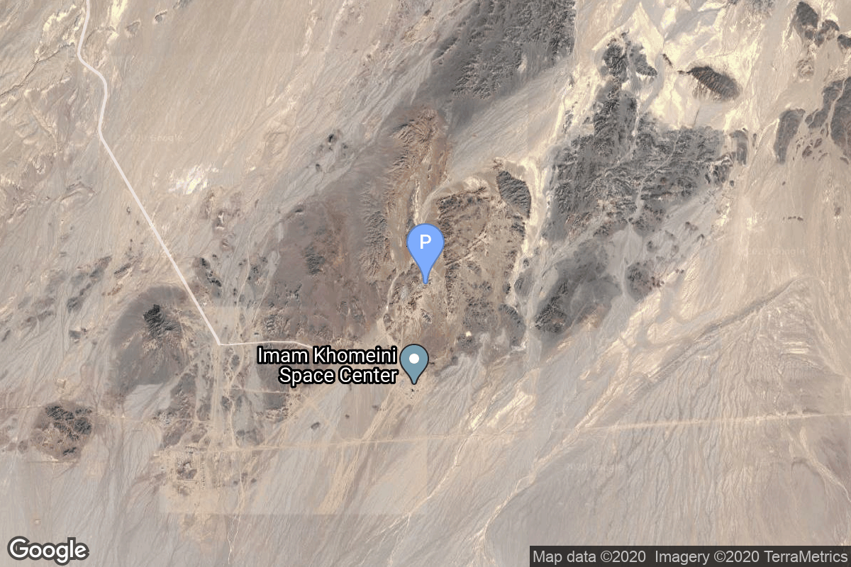
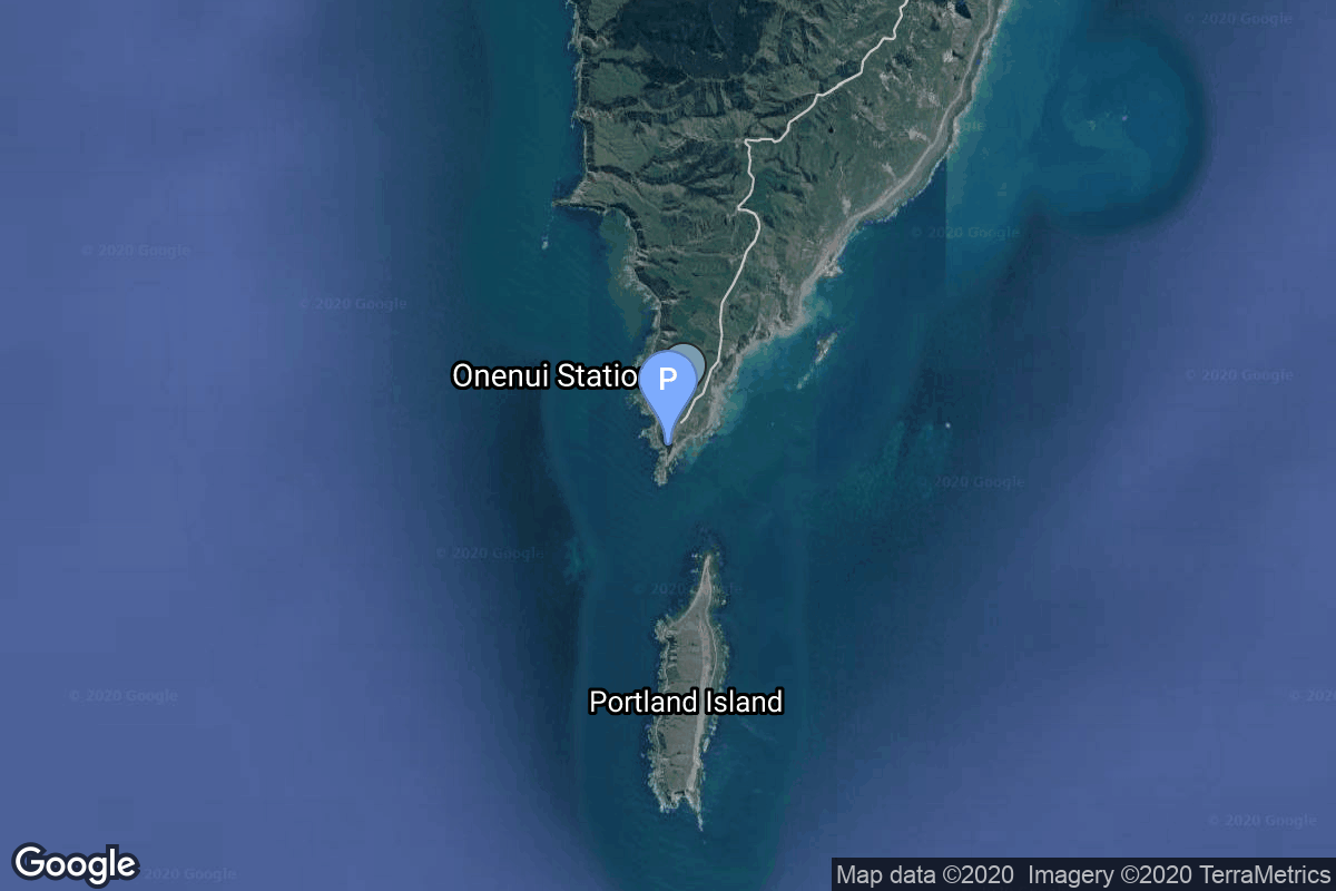
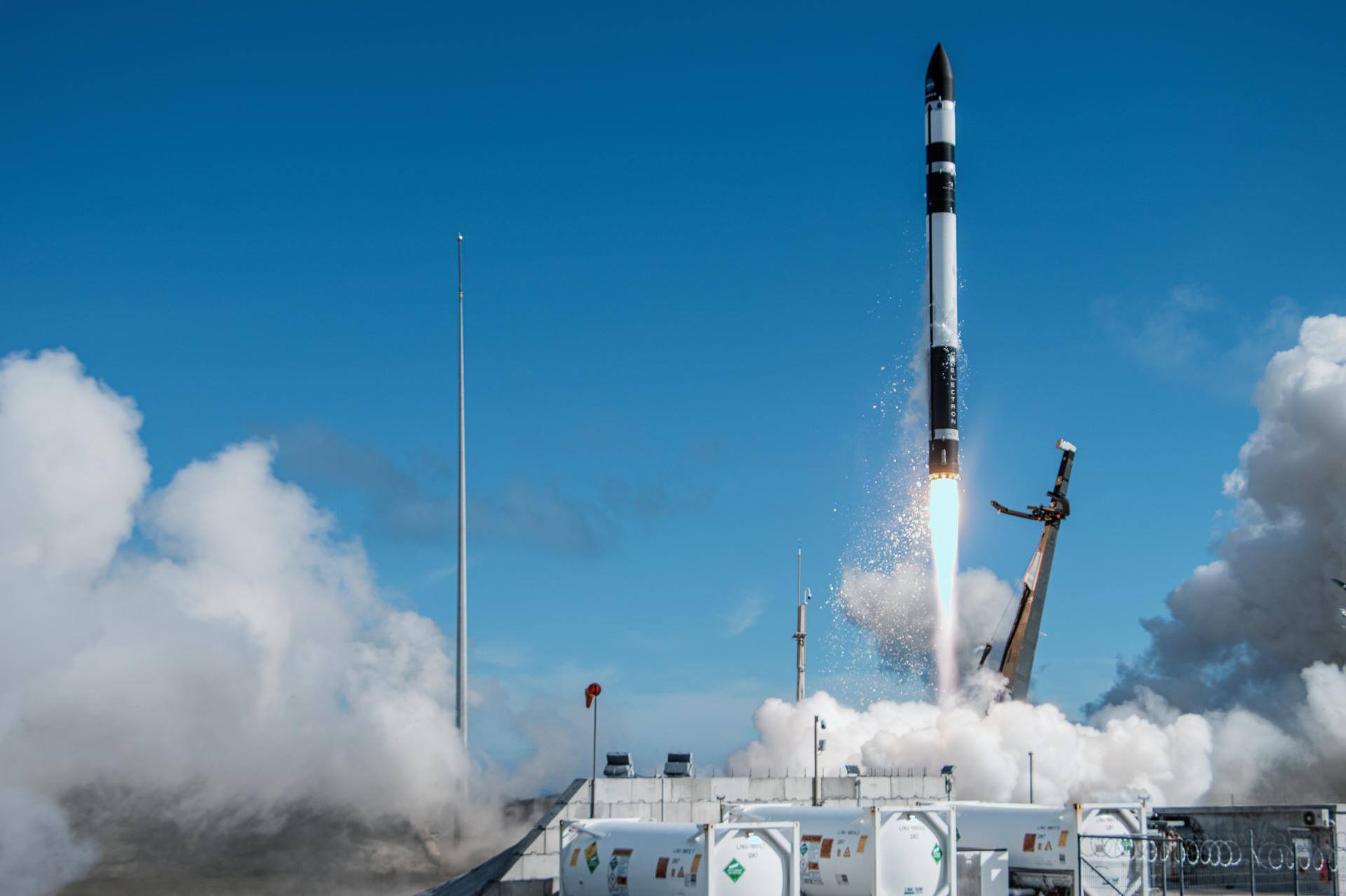
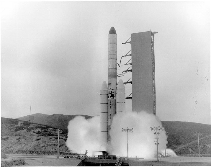
{ "count": 7793, "next": "https://ll.thespacedevs.com/2.0.0/launch/?format=api&limit=10&offset=7110&ordering=id", "previous": "https://ll.thespacedevs.com/2.0.0/launch/?format=api&limit=10&offset=7090&ordering=id", "results": [ { "id": "e833fdb0-6ab8-456f-a232-cbfc284b8fe3", "url": "https://ll.thespacedevs.com/2.0.0/launch/e833fdb0-6ab8-456f-a232-cbfc284b8fe3/?format=api", "launch_library_id": null, "slug": "tsiklon-2-us-a-1", "name": "Tsiklon-2 | US-A 1", "status": { "id": 3, "name": "Success" }, "net": "1970-10-03T10:26:45Z", "window_end": "1970-10-03T10:26:45Z", "window_start": "1970-10-03T10:26:45Z", "inhold": false, "tbdtime": false, "tbddate": false, "probability": null, "holdreason": "", "failreason": null, "hashtag": null, "launch_service_provider": { "id": 66, "url": "https://ll.thespacedevs.com/2.0.0/agencies/66/?format=api", "name": "Soviet Space Program", "type": "Government" }, "rocket": { "id": 4055, "configuration": { "id": 443, "launch_library_id": null, "url": "https://ll.thespacedevs.com/2.0.0/config/launcher/443/?format=api", "name": "Tsiklon-2", "family": "Tsiklon", "full_name": "Tsiklon-2", "variant": "2" } }, "mission": { "id": 2473, "launch_library_id": null, "name": "US-A 1", "description": "Active radar satellite for ocean surveillance powered by a nuclear reactor.", "launch_designator": null, "type": "Government/Top Secret", "orbit": { "id": 8, "name": "Low Earth Orbit", "abbrev": "LEO" } }, "pad": { "id": 133, "url": "https://ll.thespacedevs.com/2.0.0/pad/133/?format=api", "agency_id": null, "name": "90/19", "info_url": null, "wiki_url": "https://en.wikipedia.org/wiki/Baikonur_Cosmodrome_Site_90", "map_url": "https://www.google.com/maps?q=46.081,62.929806", "latitude": "46.081", "longitude": "62.929806", "location": { "id": 15, "url": "https://ll.thespacedevs.com/2.0.0/location/15/?format=api", "name": "Baikonur Cosmodrome, Republic of Kazakhstan", "country_code": "KAZ", "map_image": "https://thespacedevs-prod.nyc3.digitaloceanspaces.com/media/map_images/location_15_20200803142517.jpg", "total_launch_count": 1560, "total_landing_count": 0 }, "map_image": "https://thespacedevs-prod.nyc3.digitaloceanspaces.com/media/map_images/pad_133_20200803143315.jpg", "total_launch_count": 16 }, "webcast_live": false, "image": "https://thespacedevs-prod.nyc3.digitaloceanspaces.com/media/images/tsyklon-2_lifto_image_20240411113159.jpg", "infographic": null, "program": [] }, { "id": "e83eac3f-29eb-4fac-b826-247261bd170d", "url": "https://ll.thespacedevs.com/2.0.0/launch/e83eac3f-29eb-4fac-b826-247261bd170d/?format=api", "launch_library_id": null, "slug": "juno-ii-pioneer-3", "name": "Juno II | Pioneer 3", "status": { "id": 3, "name": "Success" }, "net": "1958-12-06T05:44:52Z", "window_end": "1958-12-06T05:44:52Z", "window_start": "1958-12-06T05:44:52Z", "inhold": false, "tbdtime": false, "tbddate": false, "probability": null, "holdreason": "", "failreason": null, "hashtag": null, "launch_service_provider": { "id": 44, "url": "https://ll.thespacedevs.com/2.0.0/agencies/44/?format=api", "name": "National Aeronautics and Space Administration", "type": "Government" }, "rocket": { "id": 3032, "configuration": { "id": 188, "launch_library_id": 206, "url": "https://ll.thespacedevs.com/2.0.0/config/launcher/188/?format=api", "name": "Juno II", "family": "", "full_name": "Juno II", "variant": "" } }, "mission": { "id": 1454, "launch_library_id": null, "name": "Pioneer 3", "description": "Pioneer 3 was a spin-stabilized spacecraft intended as a lunar probe but failed to perform a lunar flyby as planned. Its mission was revised to measure radiation in the outer Van Allen radiation belts.", "launch_designator": null, "type": "Lunar Exploration", "orbit": { "id": 9, "name": "Lunar flyby", "abbrev": "Lunar flyby" } }, "pad": { "id": 123, "url": "https://ll.thespacedevs.com/2.0.0/pad/123/?format=api", "agency_id": 161, "name": "Launch Complex 5", "info_url": null, "wiki_url": "https://en.wikipedia.org/wiki/Cape_Canaveral_Launch_Complex_5", "map_url": "https://www.google.com/maps?q=28.43942,-80.573301", "latitude": "28.43942", "longitude": "-80.573301", "location": { "id": 12, "url": "https://ll.thespacedevs.com/2.0.0/location/12/?format=api", "name": "Cape Canaveral SFS, FL, USA", "country_code": "USA", "map_image": "https://thespacedevs-prod.nyc3.digitaloceanspaces.com/media/map_images/location_12_20200803142519.jpg", "total_launch_count": 1086, "total_landing_count": 71 }, "map_image": "https://thespacedevs-prod.nyc3.digitaloceanspaces.com/media/map_images/pad_123_20200803143235.jpg", "total_launch_count": 13 }, "webcast_live": false, "image": "https://thespacedevs-prod.nyc3.digitaloceanspaces.com/media/images/juno2520ii_image_20191201204701.jpeg", "infographic": null, "program": [] }, { "id": "e845c910-05f9-4330-88fb-8592007e42a4", "url": "https://ll.thespacedevs.com/2.0.0/launch/e845c910-05f9-4330-88fb-8592007e42a4/?format=api", "launch_library_id": null, "slug": "atlas-slv-3c-centaur-oao-2", "name": "Atlas SLV-3C Centaur | OAO 2", "status": { "id": 3, "name": "Success" }, "net": "1968-12-07T08:40:09Z", "window_end": "1968-12-07T08:40:09Z", "window_start": "1968-12-07T08:40:09Z", "inhold": false, "tbdtime": false, "tbddate": false, "probability": null, "holdreason": "", "failreason": null, "hashtag": null, "launch_service_provider": { "id": 161, "url": "https://ll.thespacedevs.com/2.0.0/agencies/161/?format=api", "name": "United States Air Force", "type": "Government" }, "rocket": { "id": 3852, "configuration": { "id": 260, "launch_library_id": null, "url": "https://ll.thespacedevs.com/2.0.0/config/launcher/260/?format=api", "name": "Atlas SLV-3C Centaur", "family": "Atlas", "full_name": "Atlas SLV-3C Centaur", "variant": "SLV-3C Centaur" } }, "mission": { "id": 2270, "launch_library_id": null, "name": "OAO 2", "description": "OAO 2 (Orbiting Astronomical Observatory), also known as Stargazer, was one of a series of automated astronomical observatories that was ground controllable in orientation and was placed in a low-earth orbit.", "launch_designator": null, "type": "Astrophysics", "orbit": { "id": 8, "name": "Low Earth Orbit", "abbrev": "LEO" } }, "pad": { "id": 122, "url": "https://ll.thespacedevs.com/2.0.0/pad/122/?format=api", "agency_id": 161, "name": "Launch Complex 36B", "info_url": null, "wiki_url": "https://en.wikipedia.org/wiki/Cape_Canaveral_Launch_Complex_36", "map_url": "https://www.google.com/maps?q=28.4705556,-80.542194", "latitude": "28.4705556", "longitude": "-80.542194", "location": { "id": 12, "url": "https://ll.thespacedevs.com/2.0.0/location/12/?format=api", "name": "Cape Canaveral SFS, FL, USA", "country_code": "USA", "map_image": "https://thespacedevs-prod.nyc3.digitaloceanspaces.com/media/map_images/location_12_20200803142519.jpg", "total_launch_count": 1086, "total_landing_count": 71 }, "map_image": "https://thespacedevs-prod.nyc3.digitaloceanspaces.com/media/map_images/pad_122_20200803143232.jpg", "total_launch_count": 76 }, "webcast_live": false, "image": "https://thespacedevs-prod.nyc3.digitaloceanspaces.com/media/images/atlas_slv-3c_li_image_20251103141951.jpeg", "infographic": null, "program": [] }, { "id": "e852fa88-6e9d-4f44-9016-cab5c363655b", "url": "https://ll.thespacedevs.com/2.0.0/launch/e852fa88-6e9d-4f44-9016-cab5c363655b/?format=api", "launch_library_id": null, "slug": "titan-ii-slv-dmsp-5d2-f14", "name": "Titan II SLV | DMSP-5D2 F14", "status": { "id": 3, "name": "Success" }, "net": "1997-04-04T16:47:00Z", "window_end": "1997-04-04T16:47:00Z", "window_start": "1997-04-04T16:47:00Z", "inhold": false, "tbdtime": false, "tbddate": false, "probability": null, "holdreason": "", "failreason": null, "hashtag": null, "launch_service_provider": { "id": 161, "url": "https://ll.thespacedevs.com/2.0.0/agencies/161/?format=api", "name": "United States Air Force", "type": "Government" }, "rocket": { "id": 6773, "configuration": { "id": 436, "launch_library_id": null, "url": "https://ll.thespacedevs.com/2.0.0/config/launcher/436/?format=api", "name": "Titan II SLV", "family": "Titan", "full_name": "Titan II SLV", "variant": "23G" } }, "mission": { "id": 5163, "launch_library_id": null, "name": "DMSP-5D2 F14", "description": "Military meteorological satellite", "launch_designator": null, "type": "Government/Top Secret", "orbit": { "id": 17, "name": "Sun-Synchronous Orbit", "abbrev": "SSO" } }, "pad": { "id": 156, "url": "https://ll.thespacedevs.com/2.0.0/pad/156/?format=api", "agency_id": null, "name": "Space Launch Complex 4W", "info_url": "https://www.astronautix.com/v/vandenbergslc4w.html", "wiki_url": "https://en.wikipedia.org/wiki/Vandenberg_Air_Force_Base_Space_Launch_Complex_4#SLC-4W", "map_url": "https://www.google.com/maps?q=34.63312,-120.61584", "latitude": "34.63312", "longitude": "-120.61584", "location": { "id": 11, "url": "https://ll.thespacedevs.com/2.0.0/location/11/?format=api", "name": "Vandenberg SFB, CA, USA", "country_code": "USA", "map_image": "https://thespacedevs-prod.nyc3.digitaloceanspaces.com/media/map_images/location_11_20200803142416.jpg", "total_launch_count": 862, "total_landing_count": 33 }, "map_image": "https://thespacedevs-prod.nyc3.digitaloceanspaces.com/media/map_images/pad_156_20200803143351.jpg", "total_launch_count": 93 }, "webcast_live": false, "image": "https://thespacedevs-prod.nyc3.digitaloceanspaces.com/media/images/titan_ii_slv_image_20231231110038.jpeg", "infographic": null, "program": [] }, { "id": "e858e478-90f2-4c97-aa79-4dc151195411", "url": "https://ll.thespacedevs.com/2.0.0/launch/e858e478-90f2-4c97-aa79-4dc151195411/?format=api", "launch_library_id": null, "slug": "vostok-8a92m-tselina-d-18", "name": "Vostok 8A92M | Tselina-D 18", "status": { "id": 3, "name": "Success" }, "net": "1979-02-13T21:41:00Z", "window_end": "1979-02-13T21:41:00Z", "window_start": "1979-02-13T21:41:00Z", "inhold": false, "tbdtime": false, "tbddate": false, "probability": null, "holdreason": "", "failreason": null, "hashtag": null, "launch_service_provider": { "id": 66, "url": "https://ll.thespacedevs.com/2.0.0/agencies/66/?format=api", "name": "Soviet Space Program", "type": "Government" }, "rocket": { "id": 5044, "configuration": { "id": 452, "launch_library_id": null, "url": "https://ll.thespacedevs.com/2.0.0/config/launcher/452/?format=api", "name": "Vostok 8A92M", "family": "Vostok", "full_name": "Vostok 8A92M", "variant": "8A92M" } }, "mission": { "id": 3457, "launch_library_id": null, "name": "Tselina-D 18", "description": "Tselina-D satellites provided detailed observation of radio sources detected by the smaller Tselina-O satellites as part of the Tselina ELINT system.", "launch_designator": null, "type": "Government/Top Secret", "orbit": { "id": 8, "name": "Low Earth Orbit", "abbrev": "LEO" } }, "pad": { "id": 85, "url": "https://ll.thespacedevs.com/2.0.0/pad/85/?format=api", "agency_id": 163, "name": "43/4 (43R)", "info_url": null, "wiki_url": null, "map_url": "https://www.google.com/maps?q=62.92883,40.457098", "latitude": "62.92883", "longitude": "40.457098", "location": { "id": 6, "url": "https://ll.thespacedevs.com/2.0.0/location/6/?format=api", "name": "Plesetsk Cosmodrome, Russian Federation", "country_code": "RUS", "map_image": "https://thespacedevs-prod.nyc3.digitaloceanspaces.com/media/map_images/location_6_20200803142434.jpg", "total_launch_count": 1681, "total_landing_count": 0 }, "map_image": "https://thespacedevs-prod.nyc3.digitaloceanspaces.com/media/map_images/pad_85_20200803143554.jpg", "total_launch_count": 326 }, "webcast_live": false, "image": "https://thespacedevs-prod.nyc3.digitaloceanspaces.com/media/images/the_full-scale__image_20251127090310.jpg", "infographic": null, "program": [] }, { "id": "e8628145-f9f6-420a-a3a2-36ef7e2dc334", "url": "https://ll.thespacedevs.com/2.0.0/launch/e8628145-f9f6-420a-a3a2-36ef7e2dc334/?format=api", "launch_library_id": null, "slug": "delta-3920pam-galaxy-1", "name": "Delta 3920/PAM | Galaxy 1", "status": { "id": 3, "name": "Success" }, "net": "1983-06-28T23:08:00Z", "window_end": "1983-06-28T23:08:00Z", "window_start": "1983-06-28T23:08:00Z", "inhold": false, "tbdtime": false, "tbddate": false, "probability": null, "holdreason": "", "failreason": null, "hashtag": null, "launch_service_provider": { "id": 161, "url": "https://ll.thespacedevs.com/2.0.0/agencies/161/?format=api", "name": "United States Air Force", "type": "Government" }, "rocket": { "id": 5535, "configuration": { "id": 294, "launch_library_id": null, "url": "https://ll.thespacedevs.com/2.0.0/config/launcher/294/?format=api", "name": "Delta 3920/PAM", "family": "Delta", "full_name": "Delta 3920/PAM", "variant": "3920/PAM" } }, "mission": { "id": 3939, "launch_library_id": null, "name": "Galaxy 1", "description": "Geostationary communications satellite", "launch_designator": null, "type": "Communications", "orbit": { "id": 1, "name": "Geostationary Orbit", "abbrev": "Direct-GEO" } }, "pad": { "id": 1, "url": "https://ll.thespacedevs.com/2.0.0/pad/1/?format=api", "agency_id": null, "name": "Space Launch Complex 17B", "info_url": null, "wiki_url": "https://en.wikipedia.org/wiki/Cape_Canaveral_Space_Launch_Complex_17", "map_url": "https://www.google.com/maps?q=28.4458,-80.5657", "latitude": "28.4458", "longitude": "-80.5657", "location": { "id": 12, "url": "https://ll.thespacedevs.com/2.0.0/location/12/?format=api", "name": "Cape Canaveral SFS, FL, USA", "country_code": "USA", "map_image": "https://thespacedevs-prod.nyc3.digitaloceanspaces.com/media/map_images/location_12_20200803142519.jpg", "total_launch_count": 1086, "total_landing_count": 71 }, "map_image": "https://thespacedevs-prod.nyc3.digitaloceanspaces.com/media/map_images/pad_1_20200803143208.jpg", "total_launch_count": 132 }, "webcast_live": false, "image": "https://thespacedevs-prod.nyc3.digitaloceanspaces.com/media/images/delta_3910_image_20231231105538.jpeg", "infographic": null, "program": [] }, { "id": "e86758f2-78ea-44ab-928e-88d32629774d", "url": "https://ll.thespacedevs.com/2.0.0/launch/e86758f2-78ea-44ab-928e-88d32629774d/?format=api", "launch_library_id": null, "slug": "tsiklon-2-us-p-19", "name": "Tsiklon-2 | US-P 19", "status": { "id": 3, "name": "Success" }, "net": "1984-08-07T22:50:34Z", "window_end": "1984-08-07T22:50:34Z", "window_start": "1984-08-07T22:50:34Z", "inhold": false, "tbdtime": false, "tbddate": false, "probability": null, "holdreason": "", "failreason": null, "hashtag": null, "launch_service_provider": { "id": 66, "url": "https://ll.thespacedevs.com/2.0.0/agencies/66/?format=api", "name": "Soviet Space Program", "type": "Government" }, "rocket": { "id": 5667, "configuration": { "id": 443, "launch_library_id": null, "url": "https://ll.thespacedevs.com/2.0.0/config/launcher/443/?format=api", "name": "Tsiklon-2", "family": "Tsiklon", "full_name": "Tsiklon-2", "variant": "2" } }, "mission": { "id": 4069, "launch_library_id": null, "name": "US-P 19", "description": "Ocean surveillance satellite using passive ELINT devices", "launch_designator": null, "type": "Government/Top Secret", "orbit": { "id": 8, "name": "Low Earth Orbit", "abbrev": "LEO" } }, "pad": { "id": 132, "url": "https://ll.thespacedevs.com/2.0.0/pad/132/?format=api", "agency_id": null, "name": "90", "info_url": null, "wiki_url": "https://en.wikipedia.org/wiki/Baikonur_Cosmodrome_Site_90", "map_url": "https://www.google.com/maps?q=46.081,62.929806", "latitude": "46.081", "longitude": "62.929806", "location": { "id": 15, "url": "https://ll.thespacedevs.com/2.0.0/location/15/?format=api", "name": "Baikonur Cosmodrome, Republic of Kazakhstan", "country_code": "KAZ", "map_image": "https://thespacedevs-prod.nyc3.digitaloceanspaces.com/media/map_images/location_15_20200803142517.jpg", "total_launch_count": 1560, "total_landing_count": 0 }, "map_image": "https://thespacedevs-prod.nyc3.digitaloceanspaces.com/media/map_images/pad_132_20200803143344.jpg", "total_launch_count": 74 }, "webcast_live": false, "image": "https://thespacedevs-prod.nyc3.digitaloceanspaces.com/media/images/tsyklon-2_lifto_image_20240411113159.jpg", "infographic": null, "program": [] }, { "id": "e8684f46-d3fe-411e-b03c-173530fe307e", "url": "https://ll.thespacedevs.com/2.0.0/launch/e8684f46-d3fe-411e-b03c-173530fe307e/?format=api", "launch_library_id": null, "slug": "safir-omid", "name": "Safir | Omid", "status": { "id": 4, "name": "Failure" }, "net": "2008-08-16T19:32:00Z", "window_end": "2008-08-16T19:32:00Z", "window_start": "2008-08-16T19:32:00Z", "inhold": false, "tbdtime": false, "tbddate": false, "probability": null, "holdreason": "", "failreason": "", "hashtag": null, "launch_service_provider": { "id": 34, "url": "https://ll.thespacedevs.com/2.0.0/agencies/34/?format=api", "name": "Iranian Space Agency", "type": "Government" }, "rocket": { "id": 7361, "configuration": { "id": 39, "launch_library_id": 56, "url": "https://ll.thespacedevs.com/2.0.0/config/launcher/39/?format=api", "name": "Safir", "family": "Nodong", "full_name": "Safir", "variant": "" } }, "mission": { "id": 5750, "launch_library_id": null, "name": "Omid", "description": "First Iranian built and launched satellite. Failed to reach orbit due to a launch vehicle second stage malfunction.", "launch_designator": null, "type": "Test Flight", "orbit": { "id": 8, "name": "Low Earth Orbit", "abbrev": "LEO" } }, "pad": { "id": 58, "url": "https://ll.thespacedevs.com/2.0.0/pad/58/?format=api", "agency_id": null, "name": "Safir Launch Pad", "info_url": null, "wiki_url": "https://en.wikipedia.org/wiki/Semnan_Space_Center#Circular_launch_platform", "map_url": "https://www.google.com/maps?q=35.23462,53.920936", "latitude": "35.23462", "longitude": "53.920936", "location": { "id": 2, "url": "https://ll.thespacedevs.com/2.0.0/location/2/?format=api", "name": "Semnan Space Center, Islamic Republic of Iran", "country_code": "IRN", "map_image": "https://thespacedevs-prod.nyc3.digitaloceanspaces.com/media/map_images/location_2_20200803142458.jpg", "total_launch_count": 15, "total_landing_count": 0 }, "map_image": "https://thespacedevs-prod.nyc3.digitaloceanspaces.com/media/map_images/pad_58_20200803143301.jpg", "total_launch_count": 8 }, "webcast_live": false, "image": null, "infographic": null, "program": [] }, { "id": "e870fe28-c5d5-4c3d-be4f-aaddd061ea18", "url": "https://ll.thespacedevs.com/2.0.0/launch/e870fe28-c5d5-4c3d-be4f-aaddd061ea18/?format=api", "launch_library_id": null, "slug": "electron-rocket-like-a-hurricane-tropics-2", "name": "Electron | Rocket Like A Hurricane (TROPICS-2)", "status": { "id": 3, "name": "Success" }, "net": "2023-05-08T01:00:00Z", "window_end": "2023-05-08T03:00:00Z", "window_start": "2023-05-08T01:00:00Z", "inhold": false, "tbdtime": false, "tbddate": false, "probability": null, "holdreason": "", "failreason": "", "hashtag": null, "launch_service_provider": { "id": 147, "url": "https://ll.thespacedevs.com/2.0.0/agencies/147/?format=api", "name": "Rocket Lab", "type": "Commercial" }, "rocket": { "id": 2837, "configuration": { "id": 26, "launch_library_id": 148, "url": "https://ll.thespacedevs.com/2.0.0/config/launcher/26/?format=api", "name": "Electron", "family": "", "full_name": "Electron", "variant": "" } }, "mission": { "id": 6080, "launch_library_id": null, "name": "TROPICS-2", "description": "Third and fourth operational (TROPICS-04 & TROPICS-05) satellites for NASA's Time-Resolved Observations of Precipitation Structure and Storm Intensity with a Constellation of SmallSats (TROPICS) mission.\r\n\r\nThe CubeSats are designed to provide rapid-refresh microwave measurements that can be used to determine temperature, pressure, and humidity inside hurricanes as they form and evolve.", "launch_designator": null, "type": "Earth Science", "orbit": { "id": 8, "name": "Low Earth Orbit", "abbrev": "LEO" } }, "pad": { "id": 185, "url": "https://ll.thespacedevs.com/2.0.0/pad/185/?format=api", "agency_id": 147, "name": "Rocket Lab Launch Complex 1B", "info_url": null, "wiki_url": "https://en.wikipedia.org/wiki/Rocket_Lab_Launch_Complex_1", "map_url": "https://www.google.com/maps?q=-39.262833,177.864469", "latitude": "-39.262833", "longitude": "177.864469", "location": { "id": 10, "url": "https://ll.thespacedevs.com/2.0.0/location/10/?format=api", "name": "Rocket Lab Launch Complex 1, Mahia Peninsula, New Zealand", "country_code": "NZL", "map_image": "https://thespacedevs-prod.nyc3.digitaloceanspaces.com/media/map_images/location_10_20200803142509.jpg", "total_launch_count": 71, "total_landing_count": 17 }, "map_image": "https://thespacedevs-prod.nyc3.digitaloceanspaces.com/media/map_images/pad_185_20200803143540.jpg", "total_launch_count": 34 }, "webcast_live": false, "image": "https://thespacedevs-prod.nyc3.digitaloceanspaces.com/media/images/electron25202_image_20230824180537.jpeg", "infographic": null, "program": [] }, { "id": "e89be799-399c-41f9-9c64-9f8e854acf0c", "url": "https://ll.thespacedevs.com/2.0.0/launch/e89be799-399c-41f9-9c64-9f8e854acf0c/?format=api", "launch_library_id": null, "slug": "titan-iiid-kh-9-17", "name": "Titan IIID | KH-9 17", "status": { "id": 3, "name": "Success" }, "net": "1982-05-11T18:35:00Z", "window_end": "1982-05-11T18:35:00Z", "window_start": "1982-05-11T18:35:00Z", "inhold": false, "tbdtime": false, "tbddate": false, "probability": null, "holdreason": "", "failreason": null, "hashtag": null, "launch_service_provider": { "id": 161, "url": "https://ll.thespacedevs.com/2.0.0/agencies/161/?format=api", "name": "United States Air Force", "type": "Government" }, "rocket": { "id": 5395, "configuration": { "id": 440, "launch_library_id": null, "url": "https://ll.thespacedevs.com/2.0.0/config/launcher/440/?format=api", "name": "Titan IIID", "family": "Titan", "full_name": "Titan IIID", "variant": "IIID" } }, "mission": { "id": 3802, "launch_library_id": null, "name": "KH-9 17", "description": "Large reconnaissance satellite equipped with four return capsules.", "launch_designator": null, "type": "Government/Top Secret", "orbit": { "id": 8, "name": "Low Earth Orbit", "abbrev": "LEO" } }, "pad": { "id": 16, "url": "https://ll.thespacedevs.com/2.0.0/pad/16/?format=api", "agency_id": null, "name": "Space Launch Complex 4E", "info_url": null, "wiki_url": "https://en.wikipedia.org/wiki/Vandenberg_Space_Launch_Complex_4#SLC-4E", "map_url": "https://www.google.com/maps?q=34.632,-120.611", "latitude": "34.632", "longitude": "-120.611", "location": { "id": 11, "url": "https://ll.thespacedevs.com/2.0.0/location/11/?format=api", "name": "Vandenberg SFB, CA, USA", "country_code": "USA", "map_image": "https://thespacedevs-prod.nyc3.digitaloceanspaces.com/media/map_images/location_11_20200803142416.jpg", "total_launch_count": 862, "total_landing_count": 33 }, "map_image": "https://thespacedevs-prod.nyc3.digitaloceanspaces.com/media/map_images/pad_16_20200803143532.jpg", "total_launch_count": 248 }, "webcast_live": false, "image": "https://thespacedevs-prod.nyc3.digitaloceanspaces.com/media/images/titan_iiid_laun_image_20251117073514.jpg", "infographic": null, "program": [] } ] }