Launch List
API endpoint that returns all Launch objects or a single launch.
EXAMPLE - /launch/
GET: Return a list of all Launch objects.
FILTERS: Fields - 'name', 'id(s)', 'lsp_id', 'lsp_name', 'serial_number', 'launcher_config__id', 'rocket__spacecraftflight__spacecraft__name'
MODE: 'normal', 'list', 'detailed' EXAMPLE: ?mode=list
SEARCH: Searches through the launch name, rocket name, launch agency, mission name & spacecraft name. EXAMPLE - ?search=SpaceX
GET /2.0.0/launch/?format=api&offset=710&ordering=id
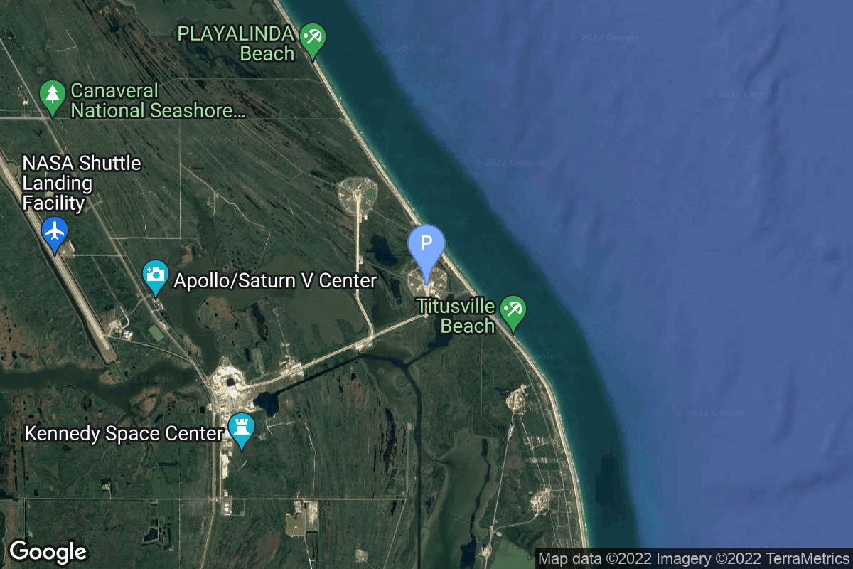
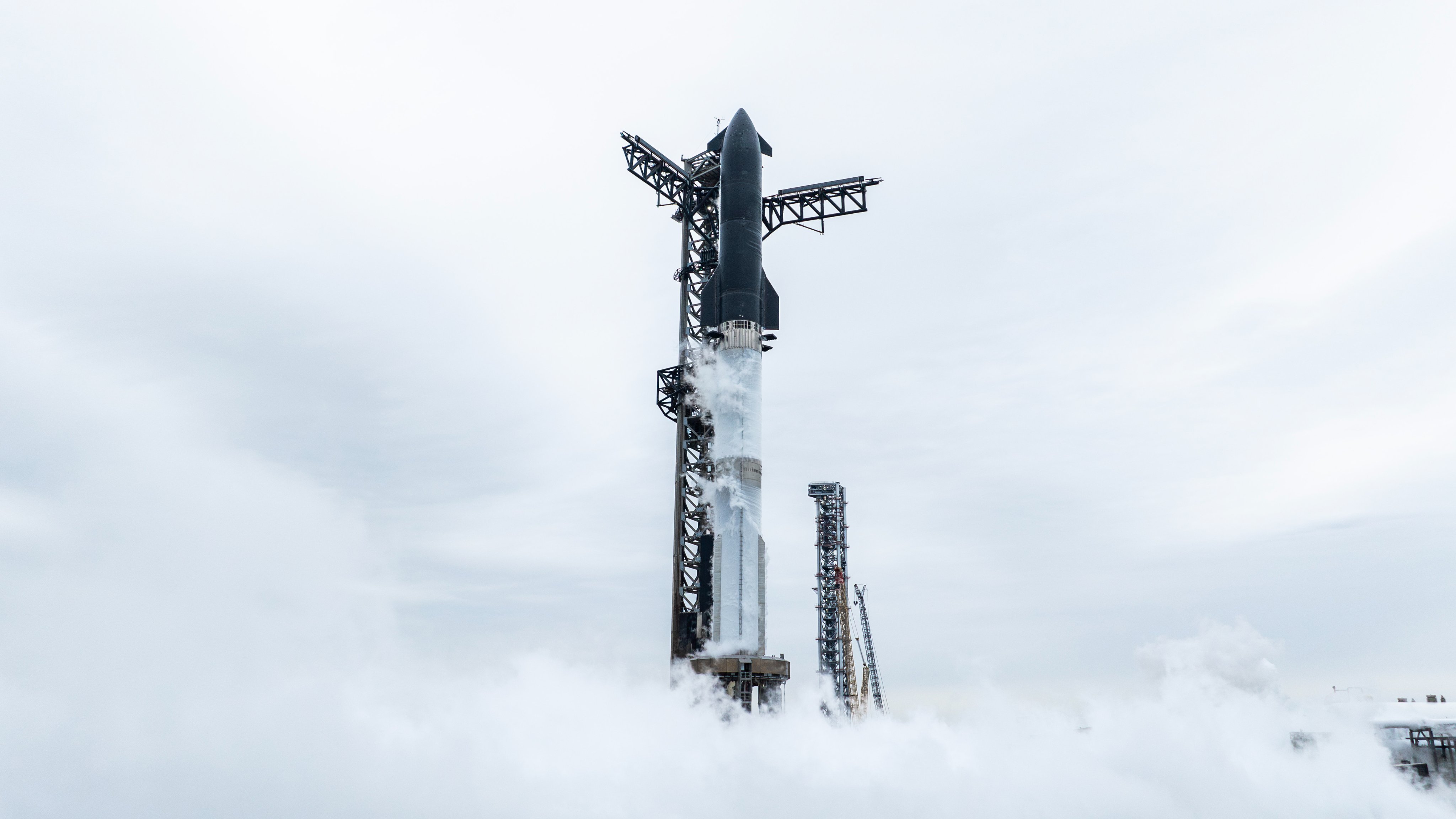
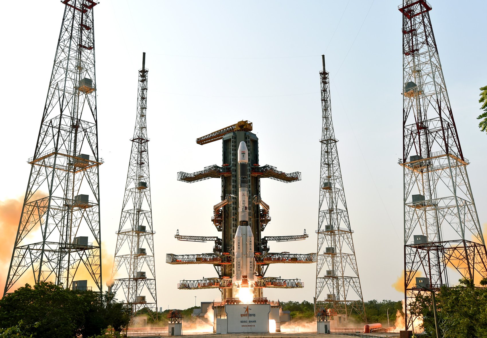
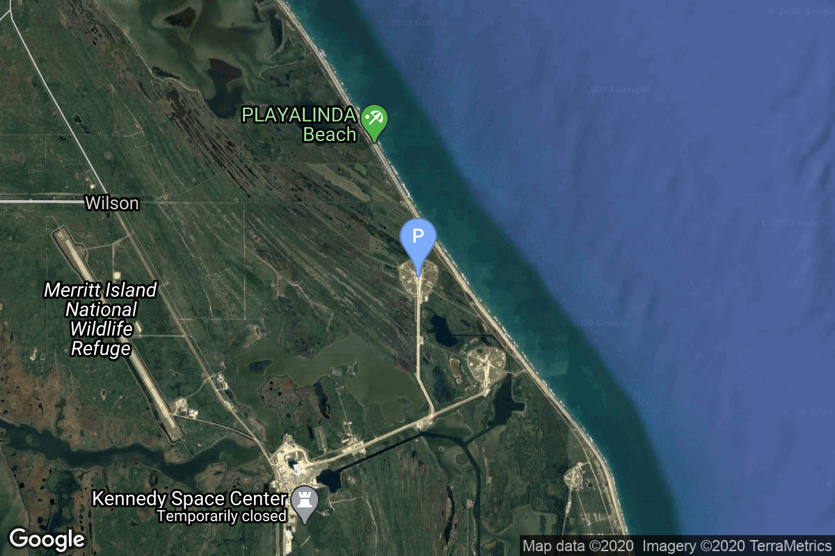
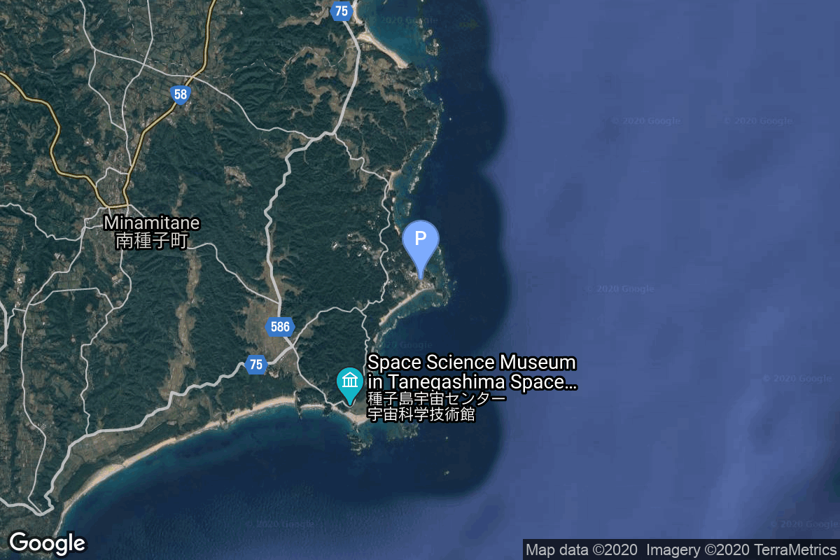
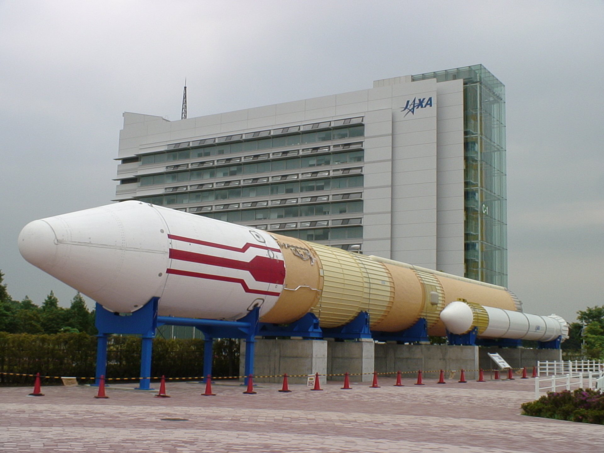
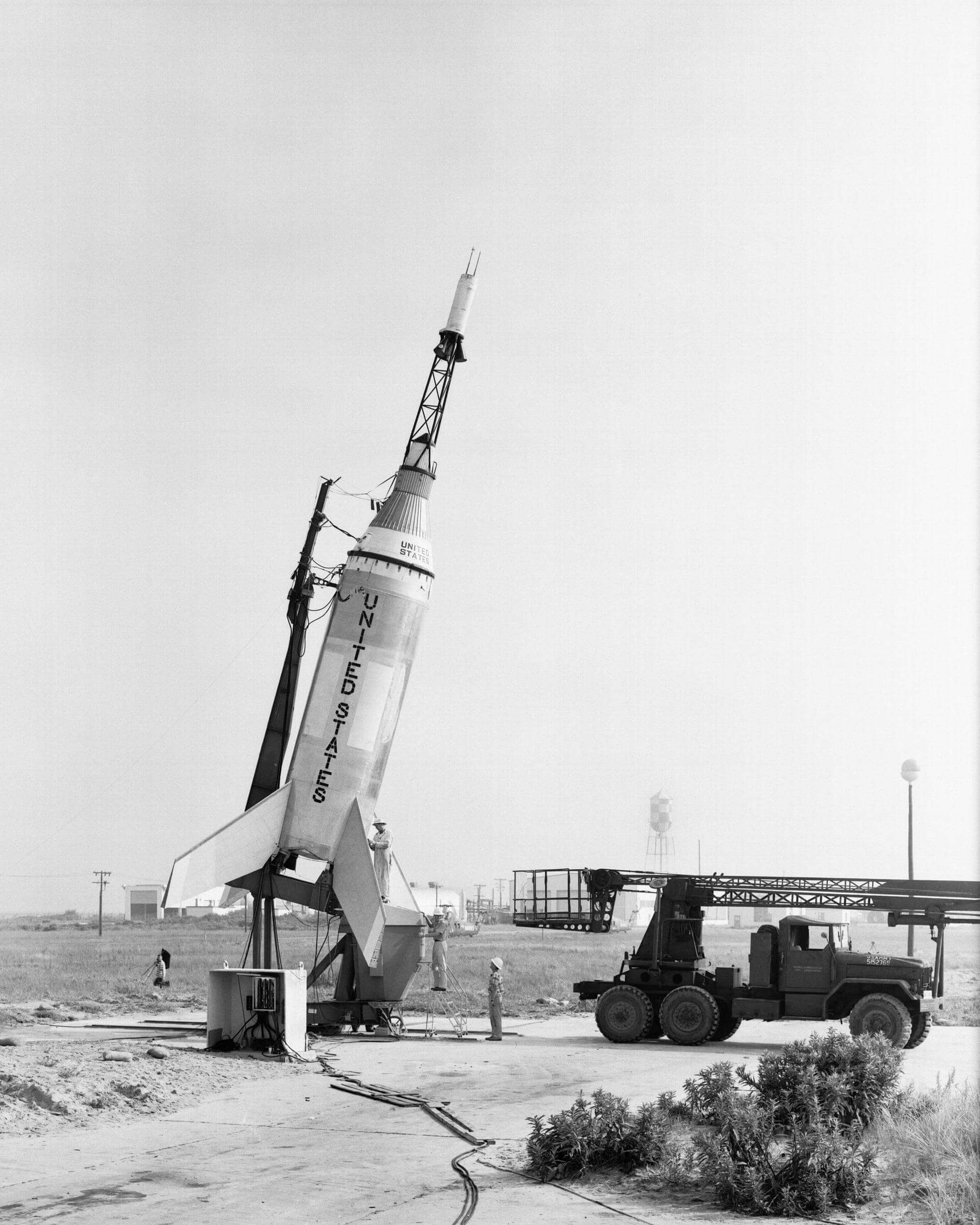
{ "count": 7896, "next": "https://ll.thespacedevs.com/2.0.0/launch/?format=api&limit=10&offset=720&ordering=id", "previous": "https://ll.thespacedevs.com/2.0.0/launch/?format=api&limit=10&offset=700&ordering=id", "results": [ { "id": "17b4ef9c-7ee9-4a2a-a57e-dd973ecf573b", "url": "https://ll.thespacedevs.com/2.0.0/launch/17b4ef9c-7ee9-4a2a-a57e-dd973ecf573b/?format=api", "launch_library_id": null, "slug": "falcon-9-block-5-starlink-group-15-5", "name": "Falcon 9 Block 5 | Starlink Group 15-5", "status": { "id": 3, "name": "Success" }, "net": "2025-05-16T13:43:50Z", "window_end": "2025-05-16T13:50:10Z", "window_start": "2025-05-16T13:43:50Z", "inhold": false, "tbdtime": false, "tbddate": false, "probability": null, "holdreason": "", "failreason": "", "hashtag": null, "launch_service_provider": { "id": 121, "url": "https://ll.thespacedevs.com/2.0.0/agencies/121/?format=api", "name": "SpaceX", "type": "Commercial" }, "rocket": { "id": 8608, "configuration": { "id": 164, "launch_library_id": 188, "url": "https://ll.thespacedevs.com/2.0.0/config/launcher/164/?format=api", "name": "Falcon 9", "family": "Falcon", "full_name": "Falcon 9 Block 5", "variant": "Block 5" } }, "mission": { "id": 7200, "launch_library_id": null, "name": "Starlink Group 15-5", "description": "A batch of 26 satellites for the Starlink mega-constellation - SpaceX's project for space-based Internet communication system.", "launch_designator": null, "type": "Communications", "orbit": { "id": 8, "name": "Low Earth Orbit", "abbrev": "LEO" } }, "pad": { "id": 16, "url": "https://ll.thespacedevs.com/2.0.0/pad/16/?format=api", "agency_id": null, "name": "Space Launch Complex 4E", "info_url": null, "wiki_url": "https://en.wikipedia.org/wiki/Vandenberg_Space_Launch_Complex_4#SLC-4E", "map_url": "https://www.google.com/maps?q=34.632,-120.611", "latitude": "34.632", "longitude": "-120.611", "location": { "id": 11, "url": "https://ll.thespacedevs.com/2.0.0/location/11/?format=api", "name": "Vandenberg SFB, CA, USA", "country_code": "USA", "map_image": "https://thespacedevs-prod.nyc3.digitaloceanspaces.com/media/map_images/location_11_20200803142416.jpg", "total_launch_count": 888, "total_landing_count": 34 }, "map_image": "https://thespacedevs-prod.nyc3.digitaloceanspaces.com/media/map_images/pad_16_20200803143532.jpg", "total_launch_count": 272 }, "webcast_live": false, "image": "https://thespacedevs-prod.nyc3.digitaloceanspaces.com/media/images/falcon2520925_image_20221009234147.png", "infographic": null, "program": [ { "id": 25, "url": "https://ll.thespacedevs.com/2.0.0/program/25/?format=api", "name": "Starlink", "description": "Starlink is a satellite internet constellation operated by American aerospace company SpaceX", "agencies": [ { "id": 121, "url": "https://ll.thespacedevs.com/2.0.0/agencies/121/?format=api", "name": "SpaceX", "type": "Commercial" } ], "image_url": "https://thespacedevs-prod.nyc3.digitaloceanspaces.com/media/images/starlink_program_20231228154508.jpeg", "start_date": "2018-02-22T14:17:00Z", "end_date": null, "info_url": "https://starlink.com", "wiki_url": "https://en.wikipedia.org/wiki/Starlink" } ] }, { "id": "17b75859-1630-481b-9985-6eef21dcc9a8", "url": "https://ll.thespacedevs.com/2.0.0/launch/17b75859-1630-481b-9985-6eef21dcc9a8/?format=api", "launch_library_id": null, "slug": "starship-starlab", "name": "Starship | Starlab", "status": { "id": 2, "name": "TBD" }, "net": "2029-12-31T00:00:00Z", "window_end": "2029-12-31T00:00:00Z", "window_start": "2029-12-31T00:00:00Z", "inhold": false, "tbdtime": true, "tbddate": true, "probability": null, "holdreason": "", "failreason": "", "hashtag": null, "launch_service_provider": { "id": 121, "url": "https://ll.thespacedevs.com/2.0.0/agencies/121/?format=api", "name": "SpaceX", "type": "Commercial" }, "rocket": { "id": 8188, "configuration": { "id": 528, "launch_library_id": null, "url": "https://ll.thespacedevs.com/2.0.0/config/launcher/528/?format=api", "name": "Starship", "family": "Starship", "full_name": "Starship", "variant": "N/A" } }, "mission": { "id": 6756, "launch_library_id": null, "name": "Starlab", "description": "Private space station developed by a joint venture between Voyager Space and Airbus.", "launch_designator": null, "type": "Human Exploration", "orbit": { "id": 8, "name": "Low Earth Orbit", "abbrev": "LEO" } }, "pad": { "id": 203, "url": "https://ll.thespacedevs.com/2.0.0/pad/203/?format=api", "agency_id": 121, "name": "Launch Complex 39A Starship Pad", "info_url": null, "wiki_url": "https://en.wikipedia.org/wiki/Kennedy_Space_Center_Launch_Complex_39A", "map_url": "https://www.google.com/maps?q=28.60822681,-80.60428186", "latitude": "28.60822681", "longitude": "-80.60428186", "location": { "id": 27, "url": "https://ll.thespacedevs.com/2.0.0/location/27/?format=api", "name": "Kennedy Space Center, FL, USA", "country_code": "USA", "map_image": "https://thespacedevs-prod.nyc3.digitaloceanspaces.com/media/map_images/location_27_20200803142447.jpg", "total_launch_count": 281, "total_landing_count": 0 }, "map_image": "https://thespacedevs-prod.nyc3.digitaloceanspaces.com/media/map_images/pad_launch_complex_39a_20220818090654.jpg", "total_launch_count": 0 }, "webcast_live": false, "image": "https://thespacedevs-prod.nyc3.digitaloceanspaces.com/media/images/starship_on_the_image_20250111100520.jpg", "infographic": null, "program": [] }, { "id": "17bfb623-b099-405e-99ef-32a8da98f29a", "url": "https://ll.thespacedevs.com/2.0.0/launch/17bfb623-b099-405e-99ef-32a8da98f29a/?format=api", "launch_library_id": null, "slug": "kosmos-3m-strela-1m-25-32", "name": "Kosmos-3M | Strela-1M 25-32", "status": { "id": 3, "name": "Success" }, "net": "1972-07-20T18:10:00Z", "window_end": "1972-07-20T18:10:00Z", "window_start": "1972-07-20T18:10:00Z", "inhold": false, "tbdtime": false, "tbddate": false, "probability": null, "holdreason": "", "failreason": null, "hashtag": null, "launch_service_provider": { "id": 66, "url": "https://ll.thespacedevs.com/2.0.0/agencies/66/?format=api", "name": "Soviet Space Program", "type": "Government" }, "rocket": { "id": 4277, "configuration": { "id": 102, "launch_library_id": 122, "url": "https://ll.thespacedevs.com/2.0.0/config/launcher/102/?format=api", "name": "Kosmos-3M", "family": "Kosmos", "full_name": "Kosmos-3M (11K65M)", "variant": "-3M" } }, "mission": { "id": 2695, "launch_library_id": null, "name": "Strela-1M 25-32", "description": "Military communications satellites", "launch_designator": null, "type": "Government/Top Secret", "orbit": { "id": 8, "name": "Low Earth Orbit", "abbrev": "LEO" } }, "pad": { "id": 167, "url": "https://ll.thespacedevs.com/2.0.0/pad/167/?format=api", "agency_id": null, "name": "132/2", "info_url": null, "wiki_url": "https://en.wikipedia.org/wiki/Plesetsk_Cosmodrome", "map_url": "https://www.google.com/maps?q=62.883,40.869806", "latitude": "62.883", "longitude": "40.869806", "location": { "id": 6, "url": "https://ll.thespacedevs.com/2.0.0/location/6/?format=api", "name": "Plesetsk Cosmodrome, Russian Federation", "country_code": "RUS", "map_image": "https://thespacedevs-prod.nyc3.digitaloceanspaces.com/media/map_images/location_6_20200803142434.jpg", "total_launch_count": 1685, "total_landing_count": 0 }, "map_image": "https://thespacedevs-prod.nyc3.digitaloceanspaces.com/media/map_images/pad_167_20200803143417.jpg", "total_launch_count": 172 }, "webcast_live": false, "image": "https://thespacedevs-prod.nyc3.digitaloceanspaces.com/media/images/kosmos-3m_durin_image_20251101171325.jpg", "infographic": null, "program": [] }, { "id": "17d0ec68-f466-4916-9dc5-16123eda6484", "url": "https://ll.thespacedevs.com/2.0.0/launch/17d0ec68-f466-4916-9dc5-16123eda6484/?format=api", "launch_library_id": 1879, "slug": "gslv-mk-ii-gisat-1a-eos-05", "name": "GSLV Mk II | GISAT-1A (EOS-05)", "status": { "id": 2, "name": "TBD" }, "net": "2026-06-30T00:00:00Z", "window_end": "2026-06-30T00:00:00Z", "window_start": "2026-06-30T00:00:00Z", "inhold": false, "tbdtime": true, "tbddate": true, "probability": null, "holdreason": "", "failreason": "", "hashtag": null, "launch_service_provider": { "id": 31, "url": "https://ll.thespacedevs.com/2.0.0/agencies/31/?format=api", "name": "Indian Space Research Organization", "type": "Government" }, "rocket": { "id": 2413, "configuration": { "id": 168, "launch_library_id": 60, "url": "https://ll.thespacedevs.com/2.0.0/config/launcher/168/?format=api", "name": "GSLV Mk II", "family": "GSLV", "full_name": "GSLV Mk. II", "variant": "" } }, "mission": { "id": 6523, "launch_library_id": null, "name": "GISAT-1A (EOS-05)", "description": "GISAT-1A (GEO Imaging Satellite) is an Indian earth observing satellite operating from geostationary orbit to facilitate continuous observation of Indian sub-continent, quick monitoring of natural hazards and disaster.", "launch_designator": null, "type": "Earth Science", "orbit": { "id": 2, "name": "Geostationary Transfer Orbit", "abbrev": "GTO" } }, "pad": { "id": 82, "url": "https://ll.thespacedevs.com/2.0.0/pad/82/?format=api", "agency_id": 31, "name": "Satish Dhawan Space Centre Second Launch Pad", "info_url": null, "wiki_url": "https://en.wikipedia.org/wiki/Satish_Dhawan_Space_Centre_Second_Launch_Pad", "map_url": "https://www.google.com/maps?q=13.7199,80.2304", "latitude": "13.7199", "longitude": "80.2304", "location": { "id": 14, "url": "https://ll.thespacedevs.com/2.0.0/location/14/?format=api", "name": "Satish Dhawan Space Centre, India", "country_code": "IND", "map_image": "https://thespacedevs-prod.nyc3.digitaloceanspaces.com/media/map_images/location_14_20200803142403.jpg", "total_launch_count": 103, "total_landing_count": 0 }, "map_image": "https://thespacedevs-prod.nyc3.digitaloceanspaces.com/media/map_images/pad_82_20200803143602.jpg", "total_launch_count": 32 }, "webcast_live": false, "image": "https://thespacedevs-prod.nyc3.digitaloceanspaces.com/media/images/gslv2520mk2520ii_image_20190825171642.jpg", "infographic": null, "program": [] }, { "id": "17d9dbc9-eb2c-4727-ab0d-34ba50edfeb4", "url": "https://ll.thespacedevs.com/2.0.0/launch/17d9dbc9-eb2c-4727-ab0d-34ba50edfeb4/?format=api", "launch_library_id": 380, "slug": "space-shuttle-discovery-ov-103-sts-41", "name": "Space Shuttle Discovery / OV-103 | STS-41", "status": { "id": 3, "name": "Success" }, "net": "1990-10-06T11:47:15Z", "window_end": "1990-10-06T11:47:15Z", "window_start": "1990-10-06T11:47:15Z", "inhold": false, "tbdtime": false, "tbddate": false, "probability": null, "holdreason": "", "failreason": null, "hashtag": null, "launch_service_provider": { "id": 192, "url": "https://ll.thespacedevs.com/2.0.0/agencies/192/?format=api", "name": "Lockheed Space Operations Company", "type": "Commercial" }, "rocket": { "id": 337, "configuration": { "id": 493, "launch_library_id": null, "url": "https://ll.thespacedevs.com/2.0.0/config/launcher/493/?format=api", "name": "Space Shuttle", "family": "", "full_name": "Space Shuttle", "variant": "" } }, "mission": { "id": 723, "launch_library_id": 932, "name": "STS-41", "description": "STS-41 was the eleventh mission of the Space Shuttle Discovery. The four-day mission with a primary objective the launch the Ulysses probe as part of the International Solar Polar Mission.", "launch_designator": null, "type": "Heliophysics", "orbit": { "id": 8, "name": "Low Earth Orbit", "abbrev": "LEO" } }, "pad": { "id": 4, "url": "https://ll.thespacedevs.com/2.0.0/pad/4/?format=api", "agency_id": 44, "name": "Launch Complex 39B", "info_url": null, "wiki_url": "https://en.wikipedia.org/wiki/Kennedy_Space_Center_Launch_Complex_39#Launch_Pad_39B", "map_url": "https://www.google.com/maps?q=28.62711233,-80.62101503", "latitude": "28.62711233", "longitude": "-80.62101503", "location": { "id": 27, "url": "https://ll.thespacedevs.com/2.0.0/location/27/?format=api", "name": "Kennedy Space Center, FL, USA", "country_code": "USA", "map_image": "https://thespacedevs-prod.nyc3.digitaloceanspaces.com/media/map_images/location_27_20200803142447.jpg", "total_launch_count": 281, "total_landing_count": 0 }, "map_image": "https://thespacedevs-prod.nyc3.digitaloceanspaces.com/media/map_images/pad_4_20200803143518.jpg", "total_launch_count": 59 }, "webcast_live": false, "image": "https://thespacedevs-prod.nyc3.digitaloceanspaces.com/media/images/space_shuttle_image_20230422074810.jpeg", "infographic": null, "program": [ { "id": 6, "url": "https://ll.thespacedevs.com/2.0.0/program/6/?format=api", "name": "Space Shuttle", "description": "The Space Shuttle program was the fourth human spaceflight program carried out by the National Aeronautics and Space Administration (NASA), which accomplished routine transportation for Earth-to-orbit crew and cargo from 1981 to 2011.", "agencies": [ { "id": 44, "url": "https://ll.thespacedevs.com/2.0.0/agencies/44/?format=api", "name": "National Aeronautics and Space Administration", "type": "Government" } ], "image_url": "https://thespacedevs-prod.nyc3.digitaloceanspaces.com/media/images/space2520shutt_program_20200820202237.png", "start_date": "1981-04-12T12:00:03Z", "end_date": "2011-07-08T15:29:00Z", "info_url": "https://www.nasa.gov/mission_pages/shuttle/main/index.html", "wiki_url": "https://en.wikipedia.org/wiki/Space_Shuttle_program" } ] }, { "id": "17dd341a-bd37-4ea4-b845-2c8cdadd429e", "url": "https://ll.thespacedevs.com/2.0.0/launch/17dd341a-bd37-4ea4-b845-2c8cdadd429e/?format=api", "launch_library_id": null, "slug": "molniya-m-us-k-12", "name": "Molniya-M | US-K 12", "status": { "id": 3, "name": "Success" }, "net": "1979-08-28T00:17:04Z", "window_end": "1979-08-28T00:17:04Z", "window_start": "1979-08-28T00:17:04Z", "inhold": false, "tbdtime": false, "tbddate": false, "probability": null, "holdreason": "", "failreason": null, "hashtag": null, "launch_service_provider": { "id": 66, "url": "https://ll.thespacedevs.com/2.0.0/agencies/66/?format=api", "name": "Soviet Space Program", "type": "Government" }, "rocket": { "id": 5107, "configuration": { "id": 106, "launch_library_id": 126, "url": "https://ll.thespacedevs.com/2.0.0/config/launcher/106/?format=api", "name": "Molniya-M", "family": "R-7", "full_name": "Molniya-M 2BL", "variant": "2BL" } }, "mission": { "id": 3519, "launch_library_id": null, "name": "US-K 12", "description": "Early warning satellite", "launch_designator": null, "type": "Government/Top Secret", "orbit": { "id": 0, "name": "Elliptical Orbit", "abbrev": "Elliptical" } }, "pad": { "id": 85, "url": "https://ll.thespacedevs.com/2.0.0/pad/85/?format=api", "agency_id": 163, "name": "43/4 (43R)", "info_url": null, "wiki_url": null, "map_url": "https://www.google.com/maps?q=62.92883,40.457098", "latitude": "62.92883", "longitude": "40.457098", "location": { "id": 6, "url": "https://ll.thespacedevs.com/2.0.0/location/6/?format=api", "name": "Plesetsk Cosmodrome, Russian Federation", "country_code": "RUS", "map_image": "https://thespacedevs-prod.nyc3.digitaloceanspaces.com/media/map_images/location_6_20200803142434.jpg", "total_launch_count": 1685, "total_landing_count": 0 }, "map_image": "https://thespacedevs-prod.nyc3.digitaloceanspaces.com/media/map_images/pad_85_20200803143554.jpg", "total_launch_count": 328 }, "webcast_live": false, "image": "https://thespacedevs-prod.nyc3.digitaloceanspaces.com/media/images/molniya_m_image_20251102061752.jpg", "infographic": null, "program": [] }, { "id": "17e09ced-9767-4eee-a071-e7900a5ad5db", "url": "https://ll.thespacedevs.com/2.0.0/launch/17e09ced-9767-4eee-a071-e7900a5ad5db/?format=api", "launch_library_id": null, "slug": "h-ii-kakehashi", "name": "H-II | Kakehashi", "status": { "id": 3, "name": "Success" }, "net": "1998-02-21T07:55:00Z", "window_end": "1998-02-21T07:55:00Z", "window_start": "1998-02-21T07:55:00Z", "inhold": false, "tbdtime": false, "tbddate": false, "probability": null, "holdreason": "", "failreason": null, "hashtag": null, "launch_service_provider": { "id": 37, "url": "https://ll.thespacedevs.com/2.0.0/agencies/37/?format=api", "name": "Japan Aerospace Exploration Agency", "type": "Government" }, "rocket": { "id": 6841, "configuration": { "id": 320, "launch_library_id": null, "url": "https://ll.thespacedevs.com/2.0.0/config/launcher/320/?format=api", "name": "H-II", "family": "H-II", "full_name": "H-II", "variant": "" } }, "mission": { "id": 5231, "launch_library_id": null, "name": "Kakehashi", "description": "COMETS (Communication Engineering Test Satellite) a two-ton geostationary three-axis stabilized satellite, is being created to develop the new technologies required for future fields in communications and broadcasting.", "launch_designator": null, "type": "Communications", "orbit": { "id": 1, "name": "Geostationary Orbit", "abbrev": "Direct-GEO" } }, "pad": { "id": 41, "url": "https://ll.thespacedevs.com/2.0.0/pad/41/?format=api", "agency_id": 37, "name": "Yoshinobu Launch Complex LP-1", "info_url": null, "wiki_url": "https://en.wikipedia.org/wiki/Yoshinobu_Launch_Complex", "map_url": "https://www.google.com/maps?q=30.400813,130.977748", "latitude": "30.400813", "longitude": "130.977748", "location": { "id": 26, "url": "https://ll.thespacedevs.com/2.0.0/location/26/?format=api", "name": "Tanegashima Space Center, Japan", "country_code": "JPN", "map_image": "https://thespacedevs-prod.nyc3.digitaloceanspaces.com/media/map_images/location_26_20200803142507.jpg", "total_launch_count": 97, "total_landing_count": 0 }, "map_image": "https://thespacedevs-prod.nyc3.digitaloceanspaces.com/media/map_images/pad_41_20200803143551.jpg", "total_launch_count": 57 }, "webcast_live": false, "image": "https://thespacedevs-prod.nyc3.digitaloceanspaces.com/media/images/ground_test_veh_image_20251115100959.jpeg", "infographic": null, "program": [] }, { "id": "17e710c6-da47-43fb-b994-b02521787fd8", "url": "https://ll.thespacedevs.com/2.0.0/launch/17e710c6-da47-43fb-b994-b02521787fd8/?format=api", "launch_library_id": null, "slug": "little-joe-lj-6", "name": "Little Joe | LJ-6", "status": { "id": 7, "name": "Partial Failure" }, "net": "1959-10-04T10:00:00Z", "window_end": "1959-10-04T10:00:00Z", "window_start": "1959-10-04T10:00:00Z", "inhold": false, "tbdtime": false, "tbddate": false, "probability": null, "holdreason": "", "failreason": "", "hashtag": null, "launch_service_provider": { "id": 44, "url": "https://ll.thespacedevs.com/2.0.0/agencies/44/?format=api", "name": "National Aeronautics and Space Administration", "type": "Government" }, "rocket": { "id": 7430, "configuration": { "id": 473, "launch_library_id": null, "url": "https://ll.thespacedevs.com/2.0.0/config/launcher/473/?format=api", "name": "Little Joe", "family": "Little Joe", "full_name": "Little Joe", "variant": "" } }, "mission": { "id": 5819, "launch_library_id": null, "name": "LJ-6", "description": "The Little Joe 6 was a launch escape system test of the Mercury spacecraft, conducted as part of the U.S. Mercury program.", "launch_designator": null, "type": "Test Flight", "orbit": { "id": 15, "name": "Suborbital", "abbrev": "Sub" } }, "pad": { "id": 195, "url": "https://ll.thespacedevs.com/2.0.0/pad/195/?format=api", "agency_id": 44, "name": "Launch Area 1", "info_url": null, "wiki_url": "https://en.wikipedia.org/wiki/Wallops_Flight_Facility", "map_url": "https://www.google.com/maps?q=37.938611,-75.457222", "latitude": "37.938611", "longitude": "-75.457222", "location": { "id": 21, "url": "https://ll.thespacedevs.com/2.0.0/location/21/?format=api", "name": "Wallops Flight Facility, Virginia, USA", "country_code": "USA", "map_image": "https://thespacedevs-prod.nyc3.digitaloceanspaces.com/media/map_images/location_21_20200803142423.jpg", "total_launch_count": 86, "total_landing_count": 0 }, "map_image": "https://thespacedevs-prod.nyc3.digitaloceanspaces.com/media/map_images/pad_launch_area_1_20210901085625.jpg", "total_launch_count": 7 }, "webcast_live": false, "image": "https://thespacedevs-prod.nyc3.digitaloceanspaces.com/media/images/little_joe_image_20210901081353.jpeg", "infographic": null, "program": [ { "id": 2, "url": "https://ll.thespacedevs.com/2.0.0/program/2/?format=api", "name": "Mercury", "description": "Project Mercury was the first human spaceflight program of the United States, running from 1958 through 1963.", "agencies": [ { "id": 44, "url": "https://ll.thespacedevs.com/2.0.0/agencies/44/?format=api", "name": "National Aeronautics and Space Administration", "type": "Government" } ], "image_url": "https://thespacedevs-prod.nyc3.digitaloceanspaces.com/media/images/project2520mer_program_20200820194755.png", "start_date": "1958-10-07T00:00:00Z", "end_date": "1963-05-16T23:24:02Z", "info_url": "https://www.nasa.gov/mission_pages/mercury/missions/program-toc.html", "wiki_url": "https://en.wikipedia.org/wiki/Project_Mercury" } ] }, { "id": "17f1cde2-cb45-443a-9fc5-93aedde48b37", "url": "https://ll.thespacedevs.com/2.0.0/launch/17f1cde2-cb45-443a-9fc5-93aedde48b37/?format=api", "launch_library_id": 966, "slug": "soyuz-u-soyuz-24", "name": "Soyuz-U | Soyuz 24", "status": { "id": 3, "name": "Success" }, "net": "1977-02-07T16:11:50Z", "window_end": "1977-02-07T16:11:50Z", "window_start": "1977-02-07T16:11:50Z", "inhold": false, "tbdtime": false, "tbddate": false, "probability": null, "holdreason": "", "failreason": "", "hashtag": null, "launch_service_provider": { "id": 66, "url": "https://ll.thespacedevs.com/2.0.0/agencies/66/?format=api", "name": "Soviet Space Program", "type": "Government" }, "rocket": { "id": 259, "configuration": { "id": 37, "launch_library_id": 35, "url": "https://ll.thespacedevs.com/2.0.0/config/launcher/37/?format=api", "name": "Soyuz U", "family": "Soyuz", "full_name": "Soyuz U", "variant": "" } }, "mission": { "id": 300, "launch_library_id": 413, "name": "Soyuz 24", "description": "Soyuz 24 was the last crewed flight to the Salyut 5 military space station. The mission began on February 7, 1977, 16:11 UTC, launching Commander Viktor Gorbatko and Flight Engineer Yuri Glazkov into orbit. They docked with the station the next day, where they partially replaced station's atmosphere, as it was presumed that toxic fumes contributed to deteriorated health of the Soyuz 21 crew. Gorbatko and Glazkov fininshed the research started by the previous expedition. This was the final flight to a military Salyut station and the final all-military crew to be launched by Soviets.\nSoyuz 24 returned to Earth with a safe landing on February 25, 1977, 09:38 UTC.", "launch_designator": null, "type": "Human Exploration", "orbit": { "id": 8, "name": "Low Earth Orbit", "abbrev": "LEO" } }, "pad": { "id": 32, "url": "https://ll.thespacedevs.com/2.0.0/pad/32/?format=api", "agency_id": null, "name": "1/5", "info_url": null, "wiki_url": "", "map_url": "https://www.google.com/maps?q=45.92,63.342", "latitude": "45.92", "longitude": "63.342", "location": { "id": 15, "url": "https://ll.thespacedevs.com/2.0.0/location/15/?format=api", "name": "Baikonur Cosmodrome, Republic of Kazakhstan", "country_code": "KAZ", "map_image": "https://thespacedevs-prod.nyc3.digitaloceanspaces.com/media/map_images/location_15_20200803142517.jpg", "total_launch_count": 1563, "total_landing_count": 0 }, "map_image": "https://thespacedevs-prod.nyc3.digitaloceanspaces.com/media/map_images/pad_32_20200803143513.jpg", "total_launch_count": 487 }, "webcast_live": false, "image": "https://thespacedevs-prod.nyc3.digitaloceanspaces.com/media/images/soyuz2520u_image_20190222031023.jpeg", "infographic": null, "program": [ { "id": 8, "url": "https://ll.thespacedevs.com/2.0.0/program/8/?format=api", "name": "Soyuz", "description": "The Soyuz programme is a human spaceflight programme initiated by the Soviet Union in the early 1960s. The Soyuz spacecraft was originally part of a Moon landing project intended to put a Soviet cosmonaut on the Moon. It was the third Soviet human spaceflight programme after the Vostok and Voskhod programmes.", "agencies": [ { "id": 63, "url": "https://ll.thespacedevs.com/2.0.0/agencies/63/?format=api", "name": "Russian Federal Space Agency (ROSCOSMOS)", "type": "Government" }, { "id": 66, "url": "https://ll.thespacedevs.com/2.0.0/agencies/66/?format=api", "name": "Soviet Space Program", "type": "Government" } ], "image_url": "https://thespacedevs-prod.nyc3.digitaloceanspaces.com/media/images/soyuz_program_20201129185543.png", "start_date": "1966-11-28T11:02:00Z", "end_date": null, "info_url": null, "wiki_url": "https://en.wikipedia.org/wiki/Soyuz_programme" }, { "id": 23, "url": "https://ll.thespacedevs.com/2.0.0/program/23/?format=api", "name": "Salyut", "description": "The Salyut programme was the first space station programme, undertaken by the Soviet Union. It involved a series of four crewed scientific research space stations and two crewed military reconnaissance space stations over a period of 15 years, from 1971 to 1986.", "agencies": [ { "id": 66, "url": "https://ll.thespacedevs.com/2.0.0/agencies/66/?format=api", "name": "Soviet Space Program", "type": "Government" } ], "image_url": "https://thespacedevs-prod.nyc3.digitaloceanspaces.com/media/images/salyut_program_20230506090532.png", "start_date": "1971-04-19T01:40:00Z", "end_date": "1986-07-16T12:34:05Z", "info_url": null, "wiki_url": "https://en.wikipedia.org/wiki/Salyut_programme" } ] }, { "id": "17fd69df-735e-4e65-8e98-c164583a0afb", "url": "https://ll.thespacedevs.com/2.0.0/launch/17fd69df-735e-4e65-8e98-c164583a0afb/?format=api", "launch_library_id": 1917, "slug": "soyuz-soyuz-7k-ok-no1", "name": "Soyuz | Soyuz 7K-OK No.1", "status": { "id": 4, "name": "Failure" }, "net": "1966-12-14T11:00:00Z", "window_end": "1966-12-14T11:00:00Z", "window_start": "1966-12-14T11:00:00Z", "inhold": false, "tbdtime": false, "tbddate": false, "probability": 0, "holdreason": "", "failreason": "", "hashtag": "", "launch_service_provider": { "id": 66, "url": "https://ll.thespacedevs.com/2.0.0/agencies/66/?format=api", "name": "Soviet Space Program", "type": "Government" }, "rocket": { "id": 2425, "configuration": { "id": 96, "launch_library_id": 134, "url": "https://ll.thespacedevs.com/2.0.0/config/launcher/96/?format=api", "name": "Soyuz", "family": "Soyuz", "full_name": "Soyuz", "variant": "" } }, "mission": null, "pad": { "id": 20, "url": "https://ll.thespacedevs.com/2.0.0/pad/20/?format=api", "agency_id": null, "name": "31/6", "info_url": null, "wiki_url": "https://en.wikipedia.org/wiki/Baikonur_Cosmodrome_Site_31", "map_url": "https://www.google.com/maps?q=45.996034,63.564003", "latitude": "45.996034", "longitude": "63.564003", "location": { "id": 15, "url": "https://ll.thespacedevs.com/2.0.0/location/15/?format=api", "name": "Baikonur Cosmodrome, Republic of Kazakhstan", "country_code": "KAZ", "map_image": "https://thespacedevs-prod.nyc3.digitaloceanspaces.com/media/map_images/location_15_20200803142517.jpg", "total_launch_count": 1563, "total_landing_count": 0 }, "map_image": "https://thespacedevs-prod.nyc3.digitaloceanspaces.com/media/map_images/pad_20_20200803143516.jpg", "total_launch_count": 428 }, "webcast_live": false, "image": null, "infographic": null, "program": [ { "id": 8, "url": "https://ll.thespacedevs.com/2.0.0/program/8/?format=api", "name": "Soyuz", "description": "The Soyuz programme is a human spaceflight programme initiated by the Soviet Union in the early 1960s. The Soyuz spacecraft was originally part of a Moon landing project intended to put a Soviet cosmonaut on the Moon. It was the third Soviet human spaceflight programme after the Vostok and Voskhod programmes.", "agencies": [ { "id": 63, "url": "https://ll.thespacedevs.com/2.0.0/agencies/63/?format=api", "name": "Russian Federal Space Agency (ROSCOSMOS)", "type": "Government" }, { "id": 66, "url": "https://ll.thespacedevs.com/2.0.0/agencies/66/?format=api", "name": "Soviet Space Program", "type": "Government" } ], "image_url": "https://thespacedevs-prod.nyc3.digitaloceanspaces.com/media/images/soyuz_program_20201129185543.png", "start_date": "1966-11-28T11:02:00Z", "end_date": null, "info_url": null, "wiki_url": "https://en.wikipedia.org/wiki/Soyuz_programme" } ] } ] }