Launch List
API endpoint that returns all Launch objects or a single launch.
EXAMPLE - /launch/
GET: Return a list of all Launch objects.
FILTERS: Fields - 'name', 'id(s)', 'lsp_id', 'lsp_name', 'serial_number', 'launcher_config__id', 'rocket__spacecraftflight__spacecraft__name'
MODE: 'normal', 'list', 'detailed' EXAMPLE: ?mode=list
SEARCH: Searches through the launch name, rocket name, launch agency, mission name & spacecraft name. EXAMPLE - ?search=SpaceX
GET /2.0.0/launch/?format=api&offset=7080&ordering=-id
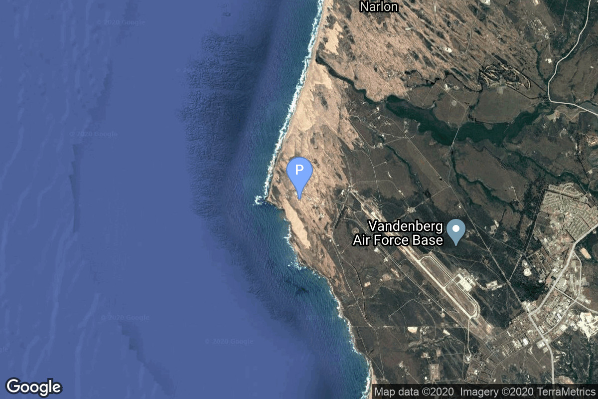
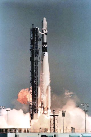
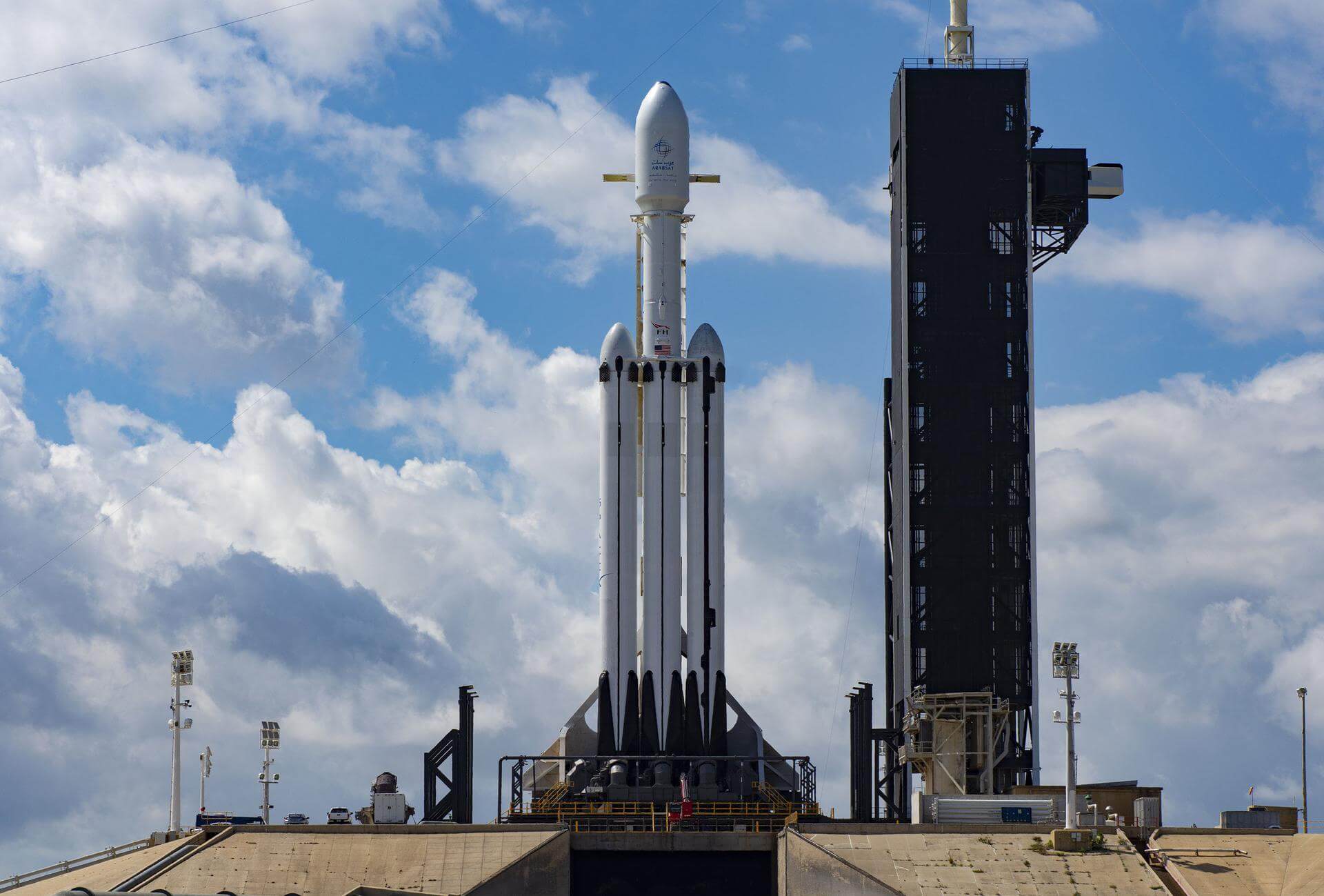
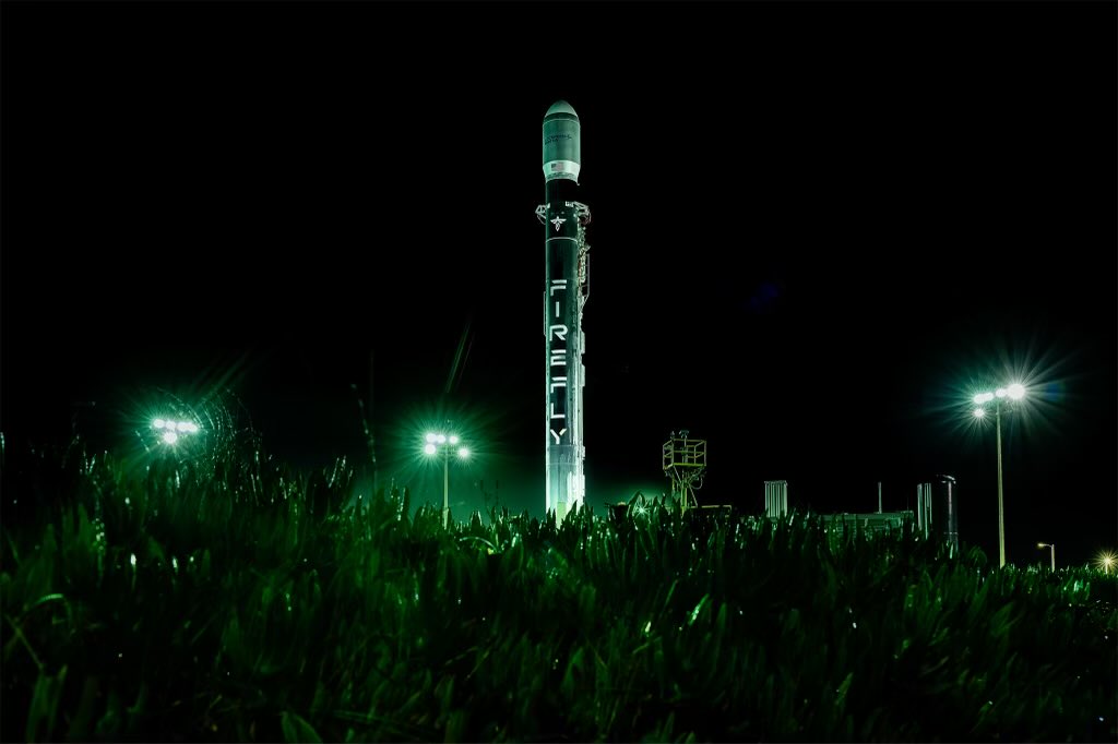
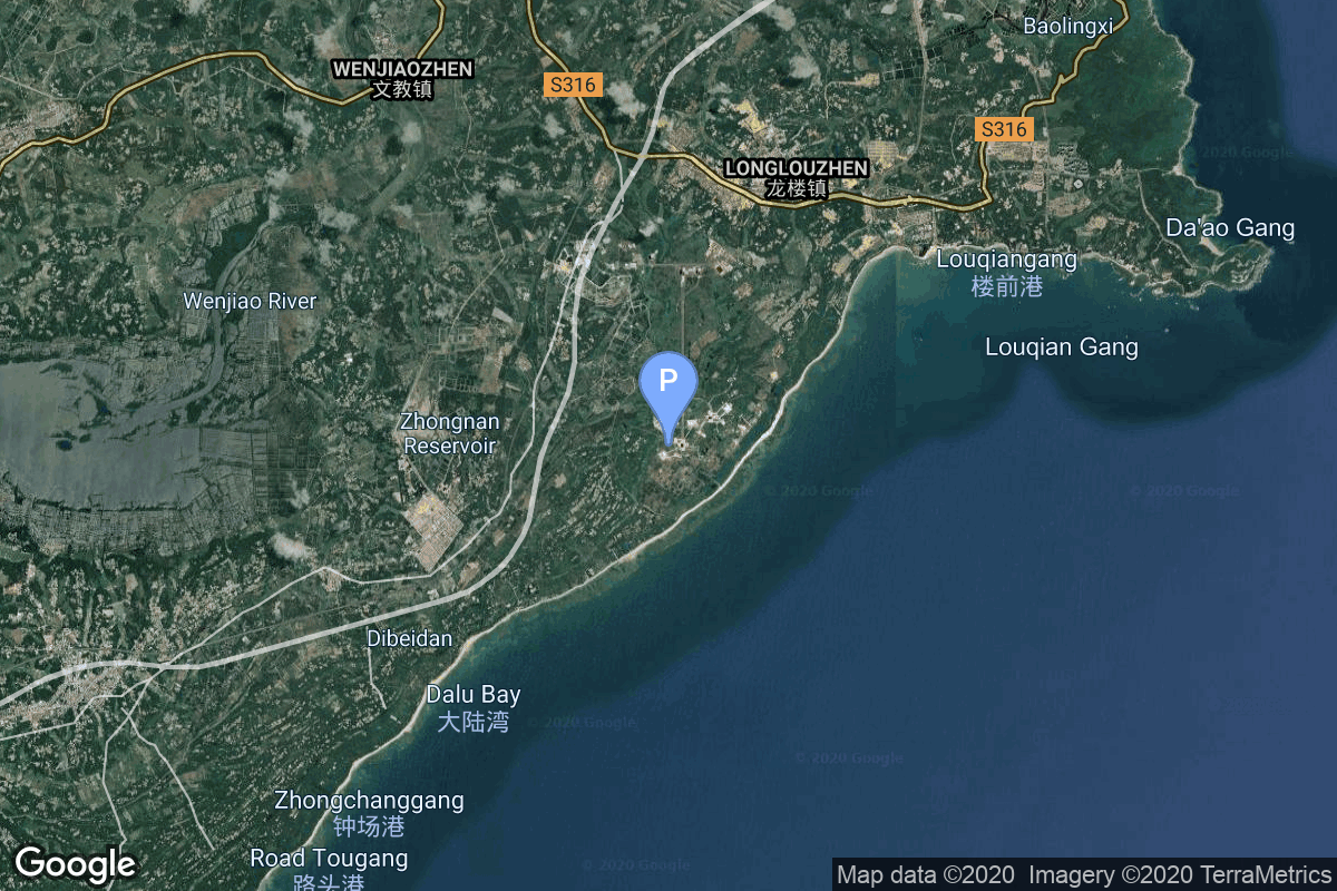
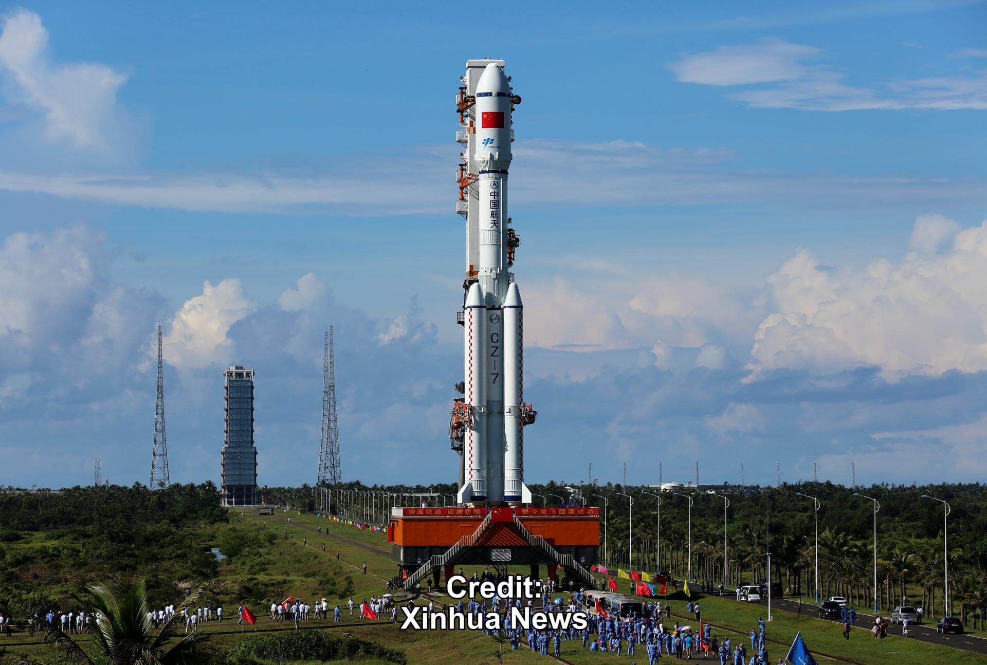
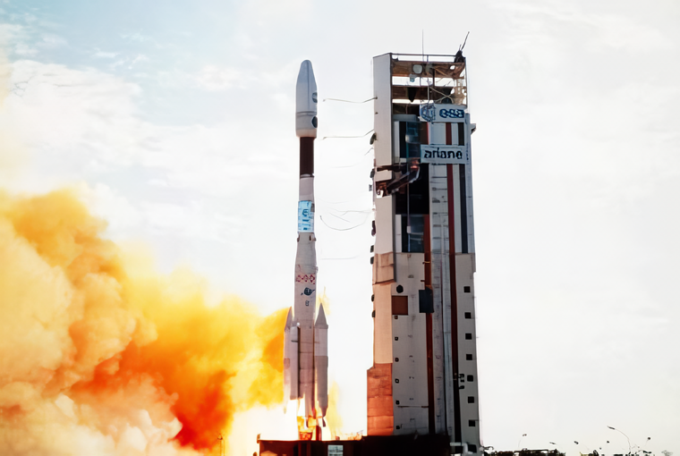
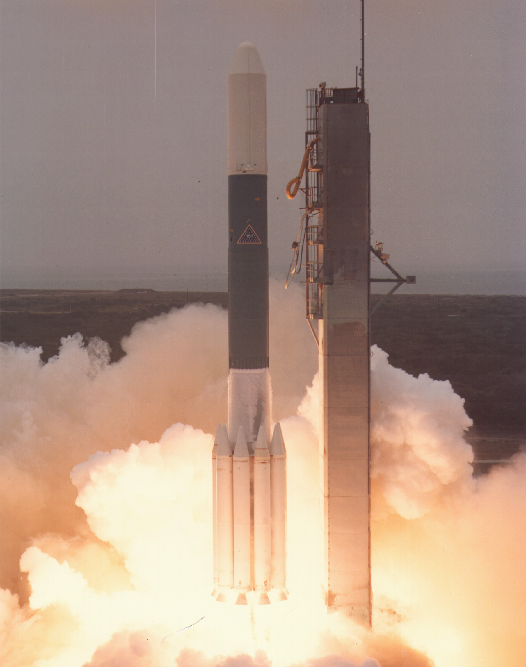
{ "count": 7943, "next": "https://ll.thespacedevs.com/2.0.0/launch/?format=api&limit=10&offset=7090&ordering=-id", "previous": "https://ll.thespacedevs.com/2.0.0/launch/?format=api&limit=10&offset=7070&ordering=-id", "results": [ { "id": "1c5178fd-6b16-48b3-9bbf-eeb2f2452116", "url": "https://ll.thespacedevs.com/2.0.0/launch/1c5178fd-6b16-48b3-9bbf-eeb2f2452116/?format=api", "launch_library_id": null, "slug": "kosmos-3m-strela-1m-353-360", "name": "Kosmos-3M | Strela-1M 353-360", "status": { "id": 3, "name": "Success" }, "net": "1991-02-12T02:44:00Z", "window_end": "1991-02-12T02:44:00Z", "window_start": "1991-02-12T02:44:00Z", "inhold": false, "tbdtime": false, "tbddate": false, "probability": null, "holdreason": "", "failreason": null, "hashtag": null, "launch_service_provider": { "id": 66, "url": "https://ll.thespacedevs.com/2.0.0/agencies/66/?format=api", "name": "Soviet Space Program", "type": "Government" }, "rocket": { "id": 6346, "configuration": { "id": 102, "launch_library_id": 122, "url": "https://ll.thespacedevs.com/2.0.0/config/launcher/102/?format=api", "name": "Kosmos-3M", "family": "Kosmos", "full_name": "Kosmos-3M (11K65M)", "variant": "-3M" } }, "mission": { "id": 4736, "launch_library_id": null, "name": "Strela-1M 353-360", "description": "Military communications satellites", "launch_designator": null, "type": "Government/Top Secret", "orbit": { "id": 8, "name": "Low Earth Orbit", "abbrev": "LEO" } }, "pad": { "id": 3, "url": "https://ll.thespacedevs.com/2.0.0/pad/3/?format=api", "agency_id": 163, "name": "133/3 (133L)", "info_url": null, "wiki_url": "", "map_url": "https://www.google.com/maps?q=62.886999,40.846984", "latitude": "62.886999", "longitude": "40.846984", "location": { "id": 6, "url": "https://ll.thespacedevs.com/2.0.0/location/6/?format=api", "name": "Plesetsk Cosmodrome, Russian Federation", "country_code": "RUS", "map_image": "https://thespacedevs-prod.nyc3.digitaloceanspaces.com/media/map_images/location_6_20200803142434.jpg", "total_launch_count": 1686, "total_landing_count": 0 }, "map_image": "https://thespacedevs-prod.nyc3.digitaloceanspaces.com/media/map_images/pad_3_20200803143438.jpg", "total_launch_count": 159 }, "webcast_live": false, "image": "https://thespacedevs-prod.nyc3.digitaloceanspaces.com/media/images/kosmos-3m_durin_image_20251101171325.jpg", "infographic": null, "program": [] }, { "id": "1c4f3ff3-0c6e-4e70-ba2a-c7f51d80a9f8", "url": "https://ll.thespacedevs.com/2.0.0/launch/1c4f3ff3-0c6e-4e70-ba2a-c7f51d80a9f8/?format=api", "launch_library_id": null, "slug": "thor-slv-2a-agena-d-p-698bk-group-1-a", "name": "Thor SLV-2A Agena D | P-698BK Group 1-A", "status": { "id": 3, "name": "Success" }, "net": "1964-02-28T03:20:00Z", "window_end": "1964-02-28T03:20:00Z", "window_start": "1964-02-28T03:20:00Z", "inhold": false, "tbdtime": false, "tbddate": false, "probability": null, "holdreason": "", "failreason": null, "hashtag": null, "launch_service_provider": { "id": 161, "url": "https://ll.thespacedevs.com/2.0.0/agencies/161/?format=api", "name": "United States Air Force", "type": "Government" }, "rocket": { "id": 3259, "configuration": { "id": 417, "launch_library_id": null, "url": "https://ll.thespacedevs.com/2.0.0/config/launcher/417/?format=api", "name": "Thor SLV-2A Agena D", "family": "Thor", "full_name": "Thor SLV-2A Agena D", "variant": "SLV-2A Agena D" } }, "mission": { "id": 1681, "launch_library_id": null, "name": "P-698BK Group 1-A", "description": "ELINT/SIGINT satellite", "launch_designator": null, "type": "Government/Top Secret", "orbit": { "id": 8, "name": "Low Earth Orbit", "abbrev": "LEO" } }, "pad": { "id": 96, "url": "https://ll.thespacedevs.com/2.0.0/pad/96/?format=api", "agency_id": 161, "name": "Space Launch Complex 1E", "info_url": null, "wiki_url": "https://en.wikipedia.org/wiki/Vandenberg_Space_Launch_Complex_1", "map_url": "https://www.google.com/maps?q=34.756,-120.6263", "latitude": "34.756", "longitude": "-120.6263", "location": { "id": 11, "url": "https://ll.thespacedevs.com/2.0.0/location/11/?format=api", "name": "Vandenberg SFB, CA, USA", "country_code": "USA", "map_image": "https://thespacedevs-prod.nyc3.digitaloceanspaces.com/media/map_images/location_11_20200803142416.jpg", "total_launch_count": 902, "total_landing_count": 35 }, "map_image": "https://thespacedevs-prod.nyc3.digitaloceanspaces.com/media/map_images/pad_96_20200803143221.jpg", "total_launch_count": 45 }, "webcast_live": false, "image": "https://thespacedevs-prod.nyc3.digitaloceanspaces.com/media/images/thor_slv-2a_age_image_20251102055131.jpg", "infographic": null, "program": [] }, { "id": "1c4ac109-3f35-42a0-9105-3205ae4a38d4", "url": "https://ll.thespacedevs.com/2.0.0/launch/1c4ac109-3f35-42a0-9105-3205ae4a38d4/?format=api", "launch_library_id": null, "slug": "falcon-heavy-ussf-155", "name": "Falcon Heavy | USSF-155", "status": { "id": 2, "name": "TBD" }, "net": "2027-06-30T00:00:00Z", "window_end": "2027-06-30T00:00:00Z", "window_start": "2027-06-30T00:00:00Z", "inhold": false, "tbdtime": true, "tbddate": true, "probability": null, "holdreason": "", "failreason": "", "hashtag": null, "launch_service_provider": { "id": 121, "url": "https://ll.thespacedevs.com/2.0.0/agencies/121/?format=api", "name": "SpaceX", "type": "Commercial" }, "rocket": { "id": 8749, "configuration": { "id": 161, "launch_library_id": 58, "url": "https://ll.thespacedevs.com/2.0.0/config/launcher/161/?format=api", "name": "Falcon Heavy", "family": "Falcon", "full_name": "Falcon Heavy", "variant": "Heavy" } }, "mission": { "id": 7340, "launch_library_id": null, "name": "USSF-155", "description": "Classified payload for the US Space Force.", "launch_designator": null, "type": "Government/Top Secret", "orbit": { "id": 25, "name": "Unknown", "abbrev": "N/A" } }, "pad": { "id": 87, "url": "https://ll.thespacedevs.com/2.0.0/pad/87/?format=api", "agency_id": 121, "name": "Launch Complex 39A", "info_url": null, "wiki_url": "https://en.wikipedia.org/wiki/Kennedy_Space_Center_Launch_Complex_39#Launch_Pad_39A", "map_url": "https://www.google.com/maps?q=28.60822681,-80.60428186", "latitude": "28.60822681", "longitude": "-80.60428186", "location": { "id": 27, "url": "https://ll.thespacedevs.com/2.0.0/location/27/?format=api", "name": "Kennedy Space Center, FL, USA", "country_code": "USA", "map_image": "https://thespacedevs-prod.nyc3.digitaloceanspaces.com/media/map_images/location_27_20200803142447.jpg", "total_launch_count": 281, "total_landing_count": 0 }, "map_image": "https://thespacedevs-prod.nyc3.digitaloceanspaces.com/media/map_images/pad_87_20200803143537.jpg", "total_launch_count": 222 }, "webcast_live": false, "image": "https://thespacedevs-prod.nyc3.digitaloceanspaces.com/media/images/falcon_heavy_image_20220129192819.jpeg", "infographic": null, "program": [] }, { "id": "1c322288-e79c-4975-a76a-c2e83908903e", "url": "https://ll.thespacedevs.com/2.0.0/launch/1c322288-e79c-4975-a76a-c2e83908903e/?format=api", "launch_library_id": null, "slug": "firefly-alpha-flta004-fly-the-lightning", "name": "Firefly Alpha | FLTA004 (Fly the Lightning)", "status": { "id": 7, "name": "Partial Failure" }, "net": "2023-12-22T17:32:30Z", "window_end": "2023-12-22T17:48:00Z", "window_start": "2023-12-22T17:18:00Z", "inhold": false, "tbdtime": false, "tbddate": false, "probability": 60, "holdreason": "", "failreason": "Stage 2 2nd burn suffered problems and did not deliver the payload to its precise target orbit. Communication to the spacecraft has been established and mission operations are now underway.", "hashtag": null, "launch_service_provider": { "id": 265, "url": "https://ll.thespacedevs.com/2.0.0/agencies/265/?format=api", "name": "Firefly Aerospace", "type": "Commercial" }, "rocket": { "id": 8106, "configuration": { "id": 179, "launch_library_id": 216, "url": "https://ll.thespacedevs.com/2.0.0/config/launcher/179/?format=api", "name": "Firefly Alpha", "family": "Firefly Alpha", "full_name": "Firefly Alpha", "variant": "" } }, "mission": { "id": 6664, "launch_library_id": null, "name": "FLTA004 (Fly the Lightning)", "description": "Firefly’s Alpha rocket will launch Lockheed Martin’s new wideband Electronically Steerable Antenna (ESA) technology integrated on a Terran Orbital Nebula satellite bus. Developed within Lockheed Martin Space’s Ignite organization using a proprietary design, the ESA payload will demonstrate faster on-orbit sensor calibration to deliver rapid capabilities to U.S. warfighters.", "launch_designator": null, "type": "Technology", "orbit": { "id": 8, "name": "Low Earth Orbit", "abbrev": "LEO" } }, "pad": { "id": 39, "url": "https://ll.thespacedevs.com/2.0.0/pad/39/?format=api", "agency_id": null, "name": "Space Launch Complex 2W", "info_url": null, "wiki_url": "https://en.wikipedia.org/wiki/Vandenberg_Space_Launch_Complex_2", "map_url": "https://www.google.com/maps?q=34.7556,-120.6224", "latitude": "34.7556", "longitude": "-120.6224", "location": { "id": 11, "url": "https://ll.thespacedevs.com/2.0.0/location/11/?format=api", "name": "Vandenberg SFB, CA, USA", "country_code": "USA", "map_image": "https://thespacedevs-prod.nyc3.digitaloceanspaces.com/media/map_images/location_11_20200803142416.jpg", "total_launch_count": 902, "total_landing_count": 35 }, "map_image": "https://thespacedevs-prod.nyc3.digitaloceanspaces.com/media/map_images/pad_39_20200803143542.jpg", "total_launch_count": 99 }, "webcast_live": false, "image": "https://thespacedevs-prod.nyc3.digitaloceanspaces.com/media/images/firefly2520alp_image_20231220135356.jpeg", "infographic": null, "program": [] }, { "id": "1c2d7f7c-20d1-4764-8be5-f5e651e6724e", "url": "https://ll.thespacedevs.com/2.0.0/launch/1c2d7f7c-20d1-4764-8be5-f5e651e6724e/?format=api", "launch_library_id": null, "slug": "falcon-9-block-5-starlink-group-10-32", "name": "Falcon 9 Block 5 | Starlink Group 10-32", "status": { "id": 3, "name": "Success" }, "net": "2025-05-28T13:30:00Z", "window_end": "2025-05-28T17:17:00Z", "window_start": "2025-05-28T13:30:00Z", "inhold": false, "tbdtime": false, "tbddate": false, "probability": 80, "holdreason": "", "failreason": "", "hashtag": null, "launch_service_provider": { "id": 121, "url": "https://ll.thespacedevs.com/2.0.0/agencies/121/?format=api", "name": "SpaceX", "type": "Commercial" }, "rocket": { "id": 8620, "configuration": { "id": 164, "launch_library_id": 188, "url": "https://ll.thespacedevs.com/2.0.0/config/launcher/164/?format=api", "name": "Falcon 9", "family": "Falcon", "full_name": "Falcon 9 Block 5", "variant": "Block 5" } }, "mission": { "id": 7212, "launch_library_id": null, "name": "Starlink Group 10-32", "description": "A batch of 27 satellites for the Starlink mega-constellation - SpaceX's project for space-based Internet communication system.", "launch_designator": null, "type": "Communications", "orbit": { "id": 8, "name": "Low Earth Orbit", "abbrev": "LEO" } }, "pad": { "id": 87, "url": "https://ll.thespacedevs.com/2.0.0/pad/87/?format=api", "agency_id": 121, "name": "Launch Complex 39A", "info_url": null, "wiki_url": "https://en.wikipedia.org/wiki/Kennedy_Space_Center_Launch_Complex_39#Launch_Pad_39A", "map_url": "https://www.google.com/maps?q=28.60822681,-80.60428186", "latitude": "28.60822681", "longitude": "-80.60428186", "location": { "id": 27, "url": "https://ll.thespacedevs.com/2.0.0/location/27/?format=api", "name": "Kennedy Space Center, FL, USA", "country_code": "USA", "map_image": "https://thespacedevs-prod.nyc3.digitaloceanspaces.com/media/map_images/location_27_20200803142447.jpg", "total_launch_count": 281, "total_landing_count": 0 }, "map_image": "https://thespacedevs-prod.nyc3.digitaloceanspaces.com/media/map_images/pad_87_20200803143537.jpg", "total_launch_count": 222 }, "webcast_live": false, "image": "https://thespacedevs-prod.nyc3.digitaloceanspaces.com/media/images/falcon2520925_image_20221009234147.png", "infographic": null, "program": [ { "id": 25, "url": "https://ll.thespacedevs.com/2.0.0/program/25/?format=api", "name": "Starlink", "description": "Starlink is a satellite internet constellation operated by American aerospace company SpaceX", "agencies": [ { "id": 121, "url": "https://ll.thespacedevs.com/2.0.0/agencies/121/?format=api", "name": "SpaceX", "type": "Commercial" } ], "image_url": "https://thespacedevs-prod.nyc3.digitaloceanspaces.com/media/images/starlink_program_20231228154508.jpeg", "start_date": "2018-02-22T14:17:00Z", "end_date": null, "info_url": "https://starlink.com", "wiki_url": "https://en.wikipedia.org/wiki/Starlink" } ] }, { "id": "1c2b383b-0ac0-458a-9b03-9723c64dd392", "url": "https://ll.thespacedevs.com/2.0.0/launch/1c2b383b-0ac0-458a-9b03-9723c64dd392/?format=api", "launch_library_id": null, "slug": "long-march-7-tianzhou-4", "name": "Long March 7 | Tianzhou-4", "status": { "id": 3, "name": "Success" }, "net": "2022-05-09T17:56:30Z", "window_end": "2022-05-09T18:06:00Z", "window_start": "2022-05-09T17:46:00Z", "inhold": false, "tbdtime": false, "tbddate": false, "probability": null, "holdreason": "", "failreason": "", "hashtag": null, "launch_service_provider": { "id": 88, "url": "https://ll.thespacedevs.com/2.0.0/agencies/88/?format=api", "name": "China Aerospace Science and Technology Corporation", "type": "Government" }, "rocket": { "id": 2865, "configuration": { "id": 100, "launch_library_id": 130, "url": "https://ll.thespacedevs.com/2.0.0/config/launcher/100/?format=api", "name": "Long March 7", "family": "Long March", "full_name": "Long March 7", "variant": "" } }, "mission": { "id": 1281, "launch_library_id": null, "name": "Tianzhou-4", "description": "Third cargo delivery mission to the Chinese large modular space station.", "launch_designator": null, "type": "Resupply", "orbit": { "id": 8, "name": "Low Earth Orbit", "abbrev": "LEO" } }, "pad": { "id": 176, "url": "https://ll.thespacedevs.com/2.0.0/pad/176/?format=api", "agency_id": null, "name": "201", "info_url": null, "wiki_url": "https://en.wikipedia.org/wiki/Wenchang_Spacecraft_Launch_Site", "map_url": "https://www.google.com/maps?q=19.618452,110.955356", "latitude": "19.618452", "longitude": "110.955356", "location": { "id": 8, "url": "https://ll.thespacedevs.com/2.0.0/location/8/?format=api", "name": "Wenchang Space Launch Site, People's Republic of China", "country_code": "CHN", "map_image": "https://thespacedevs-prod.nyc3.digitaloceanspaces.com/media/map_images/location_8_20200803142445.jpg", "total_launch_count": 69, "total_landing_count": 0 }, "map_image": "https://thespacedevs-prod.nyc3.digitaloceanspaces.com/media/map_images/pad_176_20200803143412.jpg", "total_launch_count": 32 }, "webcast_live": false, "image": "https://thespacedevs-prod.nyc3.digitaloceanspaces.com/media/images/long_march_7_image_20210513083007.jpeg", "infographic": null, "program": [ { "id": 19, "url": "https://ll.thespacedevs.com/2.0.0/program/19/?format=api", "name": "Tiangong space station", "description": "The Tiangong space station is a space station placed in Low Earth orbit between 340 and 450 km above the surface.", "agencies": [ { "id": 88, "url": "https://ll.thespacedevs.com/2.0.0/agencies/88/?format=api", "name": "China Aerospace Science and Technology Corporation", "type": "Government" } ], "image_url": "https://thespacedevs-prod.nyc3.digitaloceanspaces.com/media/images/chinese2520spa_program_20210608105528.png", "start_date": "2021-04-29T03:23:00Z", "end_date": null, "info_url": null, "wiki_url": "https://en.wikipedia.org/wiki/Tiangong_space_station" } ] }, { "id": "1c2814fc-5369-4bb5-9763-02c02dbdfafa", "url": "https://ll.thespacedevs.com/2.0.0/launch/1c2814fc-5369-4bb5-9763-02c02dbdfafa/?format=api", "launch_library_id": null, "slug": "ariane-44lp-tv-sat-2", "name": "Ariane 44LP | TV-Sat 2", "status": { "id": 3, "name": "Success" }, "net": "1989-08-08T23:25:53Z", "window_end": "1989-08-08T23:25:53Z", "window_start": "1989-08-08T23:25:53Z", "inhold": false, "tbdtime": false, "tbddate": false, "probability": null, "holdreason": "", "failreason": null, "hashtag": null, "launch_service_provider": { "id": 115, "url": "https://ll.thespacedevs.com/2.0.0/agencies/115/?format=api", "name": "Arianespace", "type": "Commercial" }, "rocket": { "id": 6197, "configuration": { "id": 226, "launch_library_id": null, "url": "https://ll.thespacedevs.com/2.0.0/config/launcher/226/?format=api", "name": "Ariane 44LP", "family": "Ariane", "full_name": "Ariane 44LP", "variant": "44LP" } }, "mission": { "id": 4587, "launch_library_id": null, "name": "TV-Sat 2", "description": "German geostationary communications satellite", "launch_designator": null, "type": "Communications", "orbit": { "id": 1, "name": "Geostationary Orbit", "abbrev": "Direct-GEO" } }, "pad": { "id": 124, "url": "https://ll.thespacedevs.com/2.0.0/pad/124/?format=api", "agency_id": 115, "name": "Ariane Launch Area 2", "info_url": null, "wiki_url": "https://en.wikipedia.org/wiki/ELA-2", "map_url": "https://www.google.com/maps?q=5.232,-52.778194", "latitude": "5.232", "longitude": "-52.778194", "location": { "id": 13, "url": "https://ll.thespacedevs.com/2.0.0/location/13/?format=api", "name": "Guiana Space Centre, French Guiana", "country_code": "GUF", "map_image": "https://thespacedevs-prod.nyc3.digitaloceanspaces.com/media/map_images/location_13_20200803142412.jpg", "total_launch_count": 334, "total_landing_count": 0 }, "map_image": "https://thespacedevs-prod.nyc3.digitaloceanspaces.com/media/map_images/pad_124_20200803143241.jpg", "total_launch_count": 119 }, "webcast_live": false, "image": "https://thespacedevs-prod.nyc3.digitaloceanspaces.com/media/images/ariane_44lp_at__image_20240401083402.png", "infographic": null, "program": [] }, { "id": "1c245b3d-64e9-4820-af54-1a83ae03cd1d", "url": "https://ll.thespacedevs.com/2.0.0/launch/1c245b3d-64e9-4820-af54-1a83ae03cd1d/?format=api", "launch_library_id": null, "slug": "kosmos-3m-parus-88", "name": "Kosmos-3M | Parus 88", "status": { "id": 3, "name": "Success" }, "net": "1997-04-17T13:03:21Z", "window_end": "1997-04-17T13:03:21Z", "window_start": "1997-04-17T13:03:21Z", "inhold": false, "tbdtime": false, "tbddate": false, "probability": null, "holdreason": "", "failreason": null, "hashtag": null, "launch_service_provider": { "id": 154, "url": "https://ll.thespacedevs.com/2.0.0/agencies/154/?format=api", "name": "Production Corporation Polyot", "type": "Commercial" }, "rocket": { "id": 6776, "configuration": { "id": 102, "launch_library_id": 122, "url": "https://ll.thespacedevs.com/2.0.0/config/launcher/102/?format=api", "name": "Kosmos-3M", "family": "Kosmos", "full_name": "Kosmos-3M (11K65M)", "variant": "-3M" } }, "mission": { "id": 5166, "launch_library_id": null, "name": "Parus 88", "description": "Navigation satellite providing location information for the Tsiklon-B navigation system", "launch_designator": null, "type": "Navigation", "orbit": { "id": 8, "name": "Low Earth Orbit", "abbrev": "LEO" } }, "pad": { "id": 28, "url": "https://ll.thespacedevs.com/2.0.0/pad/28/?format=api", "agency_id": 163, "name": "132/1 (132L)", "info_url": null, "wiki_url": "", "map_url": "https://www.google.com/maps?q=62.883229,40.868549", "latitude": "62.883229", "longitude": "40.868549", "location": { "id": 6, "url": "https://ll.thespacedevs.com/2.0.0/location/6/?format=api", "name": "Plesetsk Cosmodrome, Russian Federation", "country_code": "RUS", "map_image": "https://thespacedevs-prod.nyc3.digitaloceanspaces.com/media/map_images/location_6_20200803142434.jpg", "total_launch_count": 1686, "total_landing_count": 0 }, "map_image": "https://thespacedevs-prod.nyc3.digitaloceanspaces.com/media/map_images/pad_28_20200803143254.jpg", "total_launch_count": 212 }, "webcast_live": false, "image": "https://thespacedevs-prod.nyc3.digitaloceanspaces.com/media/images/kosmos-3m_durin_image_20251101171325.jpg", "infographic": null, "program": [] }, { "id": "1c232618-eb1e-425a-9232-8357bd2f2c53", "url": "https://ll.thespacedevs.com/2.0.0/launch/1c232618-eb1e-425a-9232-8357bd2f2c53/?format=api", "launch_library_id": null, "slug": "scout-g-1-msti-1", "name": "Scout G-1 | MSTI-1", "status": { "id": 3, "name": "Success" }, "net": "1992-11-21T13:45:00Z", "window_end": "1992-11-21T13:45:00Z", "window_start": "1992-11-21T13:45:00Z", "inhold": false, "tbdtime": false, "tbddate": false, "probability": null, "holdreason": "", "failreason": null, "hashtag": null, "launch_service_provider": { "id": 161, "url": "https://ll.thespacedevs.com/2.0.0/agencies/161/?format=api", "name": "United States Air Force", "type": "Government" }, "rocket": { "id": 6481, "configuration": { "id": 363, "launch_library_id": null, "url": "https://ll.thespacedevs.com/2.0.0/config/launcher/363/?format=api", "name": "Scout G-1", "family": "Scout", "full_name": "Scout G-1", "variant": "G-1" } }, "mission": { "id": 4871, "launch_library_id": null, "name": "MSTI-1", "description": "MSTI 1 (Miniature Sensor Technology Integration 1) had a four day mission to photograph infrared images of islands in the eastern Pacific Ocean.", "launch_designator": null, "type": "Earth Science", "orbit": { "id": 8, "name": "Low Earth Orbit", "abbrev": "LEO" } }, "pad": { "id": 154, "url": "https://ll.thespacedevs.com/2.0.0/pad/154/?format=api", "agency_id": null, "name": "Space Launch Complex 5", "info_url": "https://www.astronautix.com/v/vandenbergslc5.html", "wiki_url": "https://en.wikipedia.org/wiki/Vandenberg_Air_Force_Base_Space_Launch_Complex_5", "map_url": "https://www.google.com/maps?q=34.6080,-120.6247", "latitude": "34.608", "longitude": "-120.6247", "location": { "id": 11, "url": "https://ll.thespacedevs.com/2.0.0/location/11/?format=api", "name": "Vandenberg SFB, CA, USA", "country_code": "USA", "map_image": "https://thespacedevs-prod.nyc3.digitaloceanspaces.com/media/map_images/location_11_20200803142416.jpg", "total_launch_count": 902, "total_landing_count": 35 }, "map_image": "https://thespacedevs-prod.nyc3.digitaloceanspaces.com/media/map_images/pad_154_20200803143408.jpg", "total_launch_count": 69 }, "webcast_live": false, "image": null, "infographic": null, "program": [] }, { "id": "1c1cca56-0b54-4612-9c84-1bfd3f2ac4d0", "url": "https://ll.thespacedevs.com/2.0.0/launch/1c1cca56-0b54-4612-9c84-1bfd3f2ac4d0/?format=api", "launch_library_id": null, "slug": "delta-3914-goes-g", "name": "Delta 3914 | GOES G", "status": { "id": 4, "name": "Failure" }, "net": "1986-05-03T22:18:00Z", "window_end": "1986-05-03T22:18:00Z", "window_start": "1986-05-03T22:18:00Z", "inhold": false, "tbdtime": false, "tbddate": false, "probability": null, "holdreason": "", "failreason": null, "hashtag": null, "launch_service_provider": { "id": 161, "url": "https://ll.thespacedevs.com/2.0.0/agencies/161/?format=api", "name": "United States Air Force", "type": "Government" }, "rocket": { "id": 5852, "configuration": { "id": 291, "launch_library_id": null, "url": "https://ll.thespacedevs.com/2.0.0/config/launcher/291/?format=api", "name": "Delta 3914", "family": "Delta", "full_name": "Delta 3914", "variant": "3914" } }, "mission": { "id": 4250, "launch_library_id": null, "name": "GOES G", "description": "Geostationary meteorological satellite", "launch_designator": null, "type": "Earth Science", "orbit": { "id": 1, "name": "Geostationary Orbit", "abbrev": "Direct-GEO" } }, "pad": { "id": 14, "url": "https://ll.thespacedevs.com/2.0.0/pad/14/?format=api", "agency_id": null, "name": "Space Launch Complex 17A", "info_url": null, "wiki_url": "https://en.wikipedia.org/wiki/Cape_Canaveral_Space_Launch_Complex_17", "map_url": "https://www.google.com/maps?q=28.4472,-80.565", "latitude": "28.4472", "longitude": "-80.565", "location": { "id": 12, "url": "https://ll.thespacedevs.com/2.0.0/location/12/?format=api", "name": "Cape Canaveral SFS, FL, USA", "country_code": "USA", "map_image": "https://thespacedevs-prod.nyc3.digitaloceanspaces.com/media/map_images/location_12_20200803142519.jpg", "total_launch_count": 1123, "total_landing_count": 76 }, "map_image": "https://thespacedevs-prod.nyc3.digitaloceanspaces.com/media/map_images/pad_14_20200803143451.jpg", "total_launch_count": 145 }, "webcast_live": false, "image": "https://thespacedevs-prod.nyc3.digitaloceanspaces.com/media/images/delta_3910_image_20231231105538.jpeg", "infographic": null, "program": [ { "id": 37, "url": "https://ll.thespacedevs.com/2.0.0/program/37/?format=api", "name": "Geostationary Operational Environmental Satellite", "description": "The Geostationary Operational Environmental Satellite (GOES), operated by the United States' National Oceanic and Atmospheric Administration (NOAA)'s National Environmental Satellite, Data, and Information Service division, supports weather forecasting, severe storm tracking, and meteorology research", "agencies": [ { "id": 44, "url": "https://ll.thespacedevs.com/2.0.0/agencies/44/?format=api", "name": "National Aeronautics and Space Administration", "type": "Government" }, { "id": 210, "url": "https://ll.thespacedevs.com/2.0.0/agencies/210/?format=api", "name": "National Oceanic and Atmospheric Administration", "type": "Government" } ], "image_url": "https://thespacedevs-prod.nyc3.digitaloceanspaces.com/media/images/goes-u_render_image_20240623151909.jpg", "start_date": "1975-10-16T22:40:00Z", "end_date": null, "info_url": null, "wiki_url": "https://en.wikipedia.org/wiki/Geostationary_Operational_Environmental_Satellite" } ] } ] }