Launch List
API endpoint that returns all Launch objects or a single launch.
EXAMPLE - /launch/
GET: Return a list of all Launch objects.
FILTERS: Fields - 'name', 'id(s)', 'lsp_id', 'lsp_name', 'serial_number', 'launcher_config__id', 'rocket__spacecraftflight__spacecraft__name'
MODE: 'normal', 'list', 'detailed' EXAMPLE: ?mode=list
SEARCH: Searches through the launch name, rocket name, launch agency, mission name & spacecraft name. EXAMPLE - ?search=SpaceX
GET /2.0.0/launch/?format=api&offset=7070&ordering=-id
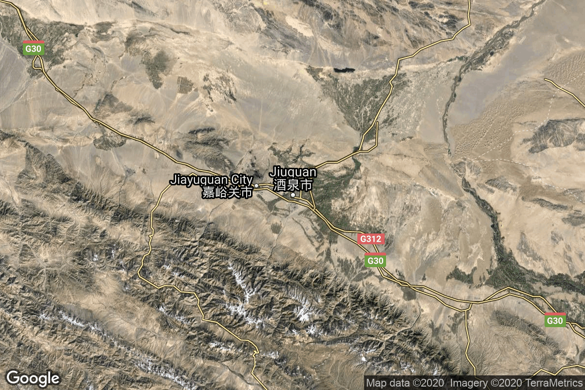
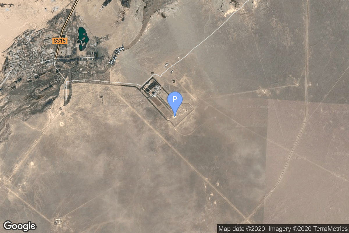
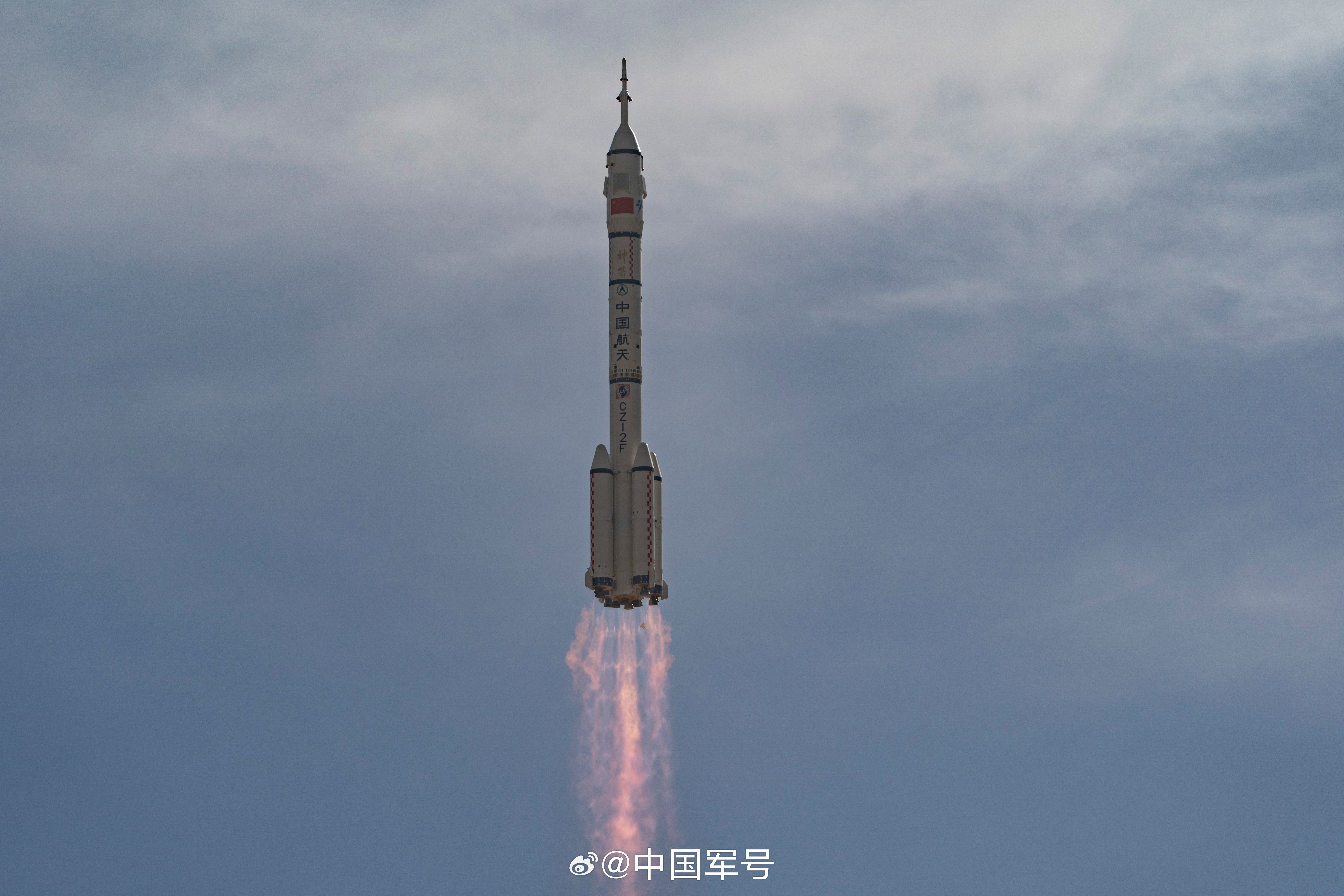
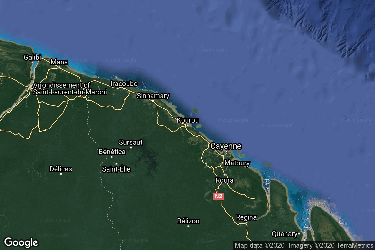
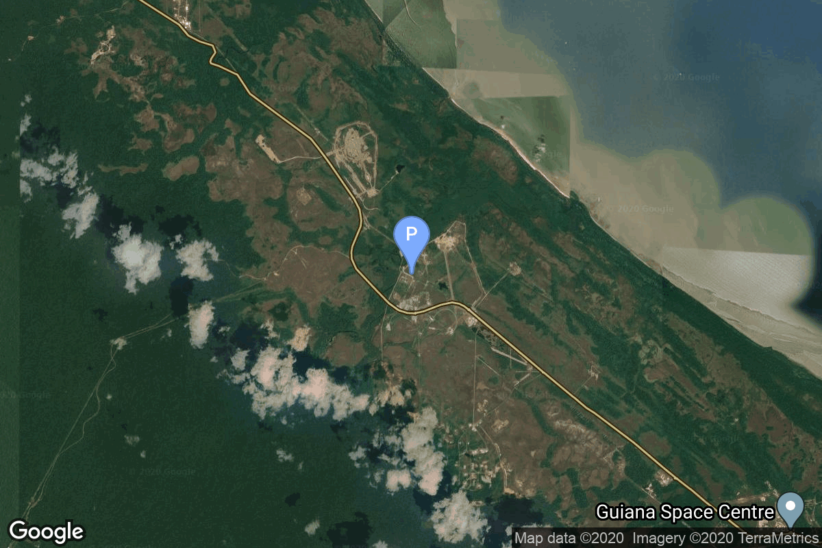
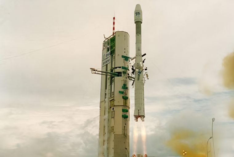
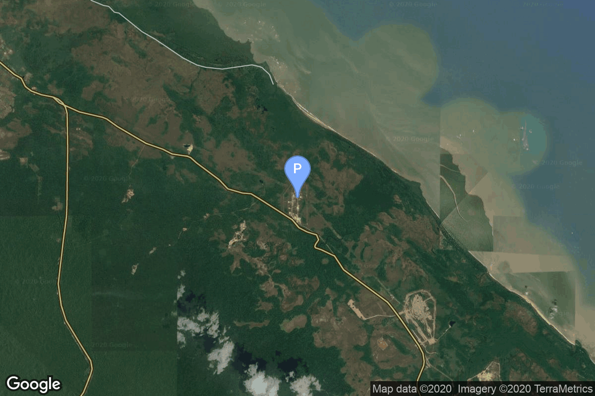
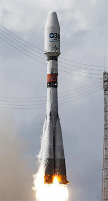
{ "count": 8082, "next": "https://ll.thespacedevs.com/2.0.0/launch/?format=api&limit=10&offset=7080&ordering=-id", "previous": "https://ll.thespacedevs.com/2.0.0/launch/?format=api&limit=10&offset=7060&ordering=-id", "results": [ { "id": "2082603e-5e83-4a30-884c-95668fefa6c5", "url": "https://ll.thespacedevs.com/2.0.0/launch/2082603e-5e83-4a30-884c-95668fefa6c5/?format=api", "launch_library_id": null, "slug": "zenit-pas-9", "name": "Zenit | PAS 9", "status": { "id": 3, "name": "Success" }, "net": "2000-07-28T22:42:00Z", "window_end": "2000-07-28T22:42:00Z", "window_start": "2000-07-28T22:42:00Z", "inhold": false, "tbdtime": false, "tbddate": false, "probability": null, "holdreason": "", "failreason": null, "hashtag": null, "launch_service_provider": { "id": 122, "url": "https://ll.thespacedevs.com/2.0.0/agencies/122/?format=api", "name": "Sea Launch", "type": "Commercial" }, "rocket": { "id": 7001, "configuration": { "id": 11, "launch_library_id": 12, "url": "https://ll.thespacedevs.com/2.0.0/config/launcher/11/?format=api", "name": "Zenit", "family": "Zenith", "full_name": "Zenit 3SL", "variant": "3SL" } }, "mission": { "id": 5390, "launch_library_id": null, "name": "PAS 9", "description": "PAS-9 was one of three HS-601HP satellites ordered Oct. 12, 1998, from Hughes Space and Communications Company (HSC) by PanAmSat Corporation. The satellite provides broadcast and general communications services in C- and Ku-band for the Americas, the Caribbean and western Europe, plus direct-to-home services for Mexico in Ku-band.", "launch_designator": null, "type": "Communications", "orbit": { "id": 1, "name": "Geostationary Orbit", "abbrev": "Direct-GEO" } }, "pad": { "id": 13, "url": "https://ll.thespacedevs.com/2.0.0/pad/13/?format=api", "agency_id": 80, "name": "Launch Platform Odyssey", "info_url": null, "wiki_url": "https://en.wikipedia.org/wiki/Odyssey_(launch_platform)", "map_url": "https://www.google.com/maps?q=0.0,-154", "latitude": "0.0", "longitude": "-154.0", "location": { "id": 3, "url": "https://ll.thespacedevs.com/2.0.0/location/3/?format=api", "name": "Sea Launch", "country_code": "???", "map_image": "https://thespacedevs-prod.nyc3.digitaloceanspaces.com/media/map_images/location_3_20200803142448.jpg", "total_launch_count": 40, "total_landing_count": 0 }, "map_image": "https://thespacedevs-prod.nyc3.digitaloceanspaces.com/media/map_images/pad_13_20200803143257.jpg", "total_launch_count": 36 }, "webcast_live": false, "image": null, "infographic": null, "program": [] }, { "id": "20779d32-3720-46c1-85a6-15784dd3e477", "url": "https://ll.thespacedevs.com/2.0.0/launch/20779d32-3720-46c1-85a6-15784dd3e477/?format=api", "launch_library_id": null, "slug": "thorad-slv-2g-agena-d-kh-4a-46", "name": "Thorad SLV-2G Agena D | KH-4A 46", "status": { "id": 3, "name": "Success" }, "net": "1968-03-14T22:00:14Z", "window_end": "1968-03-14T22:00:14Z", "window_start": "1968-03-14T22:00:14Z", "inhold": false, "tbdtime": false, "tbddate": false, "probability": null, "holdreason": "", "failreason": null, "hashtag": null, "launch_service_provider": { "id": 161, "url": "https://ll.thespacedevs.com/2.0.0/agencies/161/?format=api", "name": "United States Air Force", "type": "Government" }, "rocket": { "id": 3762, "configuration": { "id": 418, "launch_library_id": null, "url": "https://ll.thespacedevs.com/2.0.0/config/launcher/418/?format=api", "name": "Thorad SLV-2G Agena D", "family": "Thor", "full_name": "Thorad SLV-2G Agena D", "variant": "SLV-2G Agena D" } }, "mission": { "id": 2180, "launch_library_id": null, "name": "KH-4A 46", "description": "The KH-4A (Keyhole-4A) was the fifth optical reconnaissance satellite version in the Corona-program.", "launch_designator": null, "type": "Government/Top Secret", "orbit": { "id": 8, "name": "Low Earth Orbit", "abbrev": "LEO" } }, "pad": { "id": 96, "url": "https://ll.thespacedevs.com/2.0.0/pad/96/?format=api", "agency_id": 161, "name": "Space Launch Complex 1E", "info_url": null, "wiki_url": "https://en.wikipedia.org/wiki/Vandenberg_Space_Launch_Complex_1", "map_url": "https://www.google.com/maps?q=34.756,-120.6263", "latitude": "34.756", "longitude": "-120.6263", "location": { "id": 11, "url": "https://ll.thespacedevs.com/2.0.0/location/11/?format=api", "name": "Vandenberg SFB, CA, USA", "country_code": "USA", "map_image": "https://thespacedevs-prod.nyc3.digitaloceanspaces.com/media/map_images/location_11_20200803142416.jpg", "total_launch_count": 915, "total_landing_count": 35 }, "map_image": "https://thespacedevs-prod.nyc3.digitaloceanspaces.com/media/map_images/pad_96_20200803143221.jpg", "total_launch_count": 45 }, "webcast_live": false, "image": "https://thespacedevs-prod.nyc3.digitaloceanspaces.com/media/images/thorad-slv2g_ag_image_20251102061406.jpg", "infographic": null, "program": [] }, { "id": "20771615-6ce5-4115-8ea1-352e0846f256", "url": "https://ll.thespacedevs.com/2.0.0/launch/20771615-6ce5-4115-8ea1-352e0846f256/?format=api", "launch_library_id": 158, "slug": "atlas-v-551-muos-4", "name": "Atlas V 551 | MUOS-4", "status": { "id": 3, "name": "Success" }, "net": "2015-09-02T10:18:00Z", "window_end": "2015-09-02T10:43:00Z", "window_start": "2015-09-02T10:18:00Z", "inhold": false, "tbdtime": false, "tbddate": false, "probability": null, "holdreason": "", "failreason": null, "hashtag": null, "launch_service_provider": { "id": 124, "url": "https://ll.thespacedevs.com/2.0.0/agencies/124/?format=api", "name": "United Launch Alliance", "type": "Commercial" }, "rocket": { "id": 1862, "configuration": { "id": 27, "launch_library_id": 37, "url": "https://ll.thespacedevs.com/2.0.0/config/launcher/27/?format=api", "name": "Atlas V 551", "family": "Atlas", "full_name": "Atlas V 551", "variant": "551" } }, "mission": { "id": 90, "launch_library_id": 133, "name": "MUOS-4", "description": "MUOS-4 is the fourth in a Lockheed Martin-built, five-ship fleet for a next-generation, narrowband tactical military satellite communications system.", "launch_designator": null, "type": "Government/Top Secret", "orbit": { "id": 2, "name": "Geostationary Transfer Orbit", "abbrev": "GTO" } }, "pad": { "id": 29, "url": "https://ll.thespacedevs.com/2.0.0/pad/29/?format=api", "agency_id": null, "name": "Space Launch Complex 41", "info_url": null, "wiki_url": "https://en.wikipedia.org/wiki/Cape_Canaveral_Air_Force_Station_Space_Launch_Complex_41", "map_url": "https://www.google.com/maps?q=28.58341025,-80.58303644", "latitude": "28.58341025", "longitude": "-80.58303644", "location": { "id": 12, "url": "https://ll.thespacedevs.com/2.0.0/location/12/?format=api", "name": "Cape Canaveral SFS, FL, USA", "country_code": "USA", "map_image": "https://thespacedevs-prod.nyc3.digitaloceanspaces.com/media/map_images/location_12_20200803142519.jpg", "total_launch_count": 1129, "total_landing_count": 79 }, "map_image": "https://thespacedevs-prod.nyc3.digitaloceanspaces.com/media/map_images/pad_29_20200803143528.jpg", "total_launch_count": 125 }, "webcast_live": false, "image": "https://thespacedevs-prod.nyc3.digitaloceanspaces.com/media/images/atlas2520v2520551_image_20190224012316.jpeg", "infographic": null, "program": [] }, { "id": "206ec3ec-d265-4f74-b7c1-40ef231ef1d2", "url": "https://ll.thespacedevs.com/2.0.0/launch/206ec3ec-d265-4f74-b7c1-40ef231ef1d2/?format=api", "launch_library_id": null, "slug": "spaceshiptwo-galactic-06", "name": "SpaceShipTwo | Galactic 06", "status": { "id": 3, "name": "Success" }, "net": "2024-01-26T17:42:05Z", "window_end": "2024-01-26T23:00:00Z", "window_start": "2024-01-26T15:00:00Z", "inhold": false, "tbdtime": false, "tbddate": false, "probability": null, "holdreason": "", "failreason": "", "hashtag": null, "launch_service_provider": { "id": 1024, "url": "https://ll.thespacedevs.com/2.0.0/agencies/1024/?format=api", "name": "Virgin Galactic", "type": "Private" }, "rocket": { "id": 8052, "configuration": { "id": 465, "launch_library_id": null, "url": "https://ll.thespacedevs.com/2.0.0/config/launcher/465/?format=api", "name": "SpaceShipTwo", "family": "", "full_name": "SpaceShipTwo", "variant": "" } }, "mission": { "id": 6600, "launch_library_id": null, "name": "Galactic 06", "description": "Sixth commercial Virgin Galactic mission.", "launch_designator": null, "type": "Tourism", "orbit": { "id": 15, "name": "Suborbital", "abbrev": "Sub" } }, "pad": { "id": 191, "url": "https://ll.thespacedevs.com/2.0.0/pad/191/?format=api", "agency_id": 1024, "name": "Spaceport America", "info_url": "https://www.spaceportamerica.com/", "wiki_url": "https://en.wikipedia.org/wiki/Spaceport_America", "map_url": "https://www.google.com/maps?q=32.9902778,-106.9719162", "latitude": "32.9902778", "longitude": "-106.9719162", "location": { "id": 144, "url": "https://ll.thespacedevs.com/2.0.0/location/144/?format=api", "name": "Air launch to Suborbital flight", "country_code": "???", "map_image": "https://thespacedevs-prod.nyc3.digitaloceanspaces.com/media/map_images/location_144_20200803142439.jpg", "total_launch_count": 86, "total_landing_count": 0 }, "map_image": "https://thespacedevs-prod.nyc3.digitaloceanspaces.com/media/map_images/pad_spaceport_america_20210522162030.jpg", "total_launch_count": 14 }, "webcast_live": false, "image": "https://thespacedevs-prod.nyc3.digitaloceanspaces.com/media/images/spaceshiptwo_image_20210522140909.jpeg", "infographic": null, "program": [] }, { "id": "206cd4e7-ab35-4c25-8e9c-be80d82ea972", "url": "https://ll.thespacedevs.com/2.0.0/launch/206cd4e7-ab35-4c25-8e9c-be80d82ea972/?format=api", "launch_library_id": 284, "slug": "soyuz-21a-kobalt-m-kosmos-2495", "name": "Soyuz 2.1a | Kobalt-M (Kosmos 2495)", "status": { "id": 3, "name": "Success" }, "net": "2014-05-06T13:49:35Z", "window_end": "2014-05-06T13:49:35Z", "window_start": "2014-05-06T13:49:35Z", "inhold": false, "tbdtime": false, "tbddate": false, "probability": null, "holdreason": "", "failreason": null, "hashtag": null, "launch_service_provider": { "id": 163, "url": "https://ll.thespacedevs.com/2.0.0/agencies/163/?format=api", "name": "Russian Aerospace Defence Forces", "type": "Government" }, "rocket": { "id": 1754, "configuration": { "id": 24, "launch_library_id": 49, "url": "https://ll.thespacedevs.com/2.0.0/config/launcher/24/?format=api", "name": "Soyuz 2.1a", "family": "Soyuz", "full_name": "Soyuz 2.1a", "variant": "" } }, "mission": null, "pad": { "id": 85, "url": "https://ll.thespacedevs.com/2.0.0/pad/85/?format=api", "agency_id": 163, "name": "43/4 (43R)", "info_url": null, "wiki_url": null, "map_url": "https://www.google.com/maps?q=62.92883,40.457098", "latitude": "62.92883", "longitude": "40.457098", "location": { "id": 6, "url": "https://ll.thespacedevs.com/2.0.0/location/6/?format=api", "name": "Plesetsk Cosmodrome, Russian Federation", "country_code": "RUS", "map_image": "https://thespacedevs-prod.nyc3.digitaloceanspaces.com/media/map_images/location_6_20200803142434.jpg", "total_launch_count": 1688, "total_landing_count": 0 }, "map_image": "https://thespacedevs-prod.nyc3.digitaloceanspaces.com/media/map_images/pad_85_20200803143554.jpg", "total_launch_count": 329 }, "webcast_live": false, "image": "https://thespacedevs-prod.nyc3.digitaloceanspaces.com/media/images/soyuz_2.1a_image_20230805184309.jpg", "infographic": null, "program": [] }, { "id": "206a3efe-0a28-45e6-a95e-983774fff9d9", "url": "https://ll.thespacedevs.com/2.0.0/launch/206a3efe-0a28-45e6-a95e-983774fff9d9/?format=api", "launch_library_id": 2094, "slug": "long-march-2fg-chinese-reusable-space-vehicle", "name": "Long March 2F/G | Chinese Reusable Space Vehicle", "status": { "id": 3, "name": "Success" }, "net": "2020-09-04T07:30:00Z", "window_end": "2020-09-04T07:30:00Z", "window_start": "2020-09-04T07:30:00Z", "inhold": false, "tbdtime": false, "tbddate": false, "probability": null, "holdreason": "", "failreason": "", "hashtag": null, "launch_service_provider": { "id": 88, "url": "https://ll.thespacedevs.com/2.0.0/agencies/88/?format=api", "name": "China Aerospace Science and Technology Corporation", "type": "Government" }, "rocket": { "id": 2754, "configuration": { "id": 84, "launch_library_id": 111, "url": "https://ll.thespacedevs.com/2.0.0/config/launcher/84/?format=api", "name": "Long March 2F/G", "family": "Long March", "full_name": "Long March 2F/G", "variant": "F/G" } }, "mission": { "id": 1153, "launch_library_id": 1343, "name": "Chinese Reusable Space Vehicle", "description": "The payload is an experimental reusable spacecraft. It is rumored to be a prototype of a reusable spaceplane (similar to Boeing X-37B vehicle). The spacecraft stayed in orbit for two days and returned to Earth on September 6. Though the landing site was not disclosed, the spacecraft is presumed to have landed at an airbase near Lop Nor nuclear test site.", "launch_designator": null, "type": "Test Flight", "orbit": { "id": 8, "name": "Low Earth Orbit", "abbrev": "LEO" } }, "pad": { "id": 37, "url": "https://ll.thespacedevs.com/2.0.0/pad/37/?format=api", "agency_id": null, "name": "Launch Area 91 (SLS-1 / 921)", "info_url": null, "wiki_url": "https://en.wikipedia.org/wiki/Jiuquan_Launch_Area_4", "map_url": "https://www.google.com/maps?q=40.957893,100.290944", "latitude": "40.957893", "longitude": "100.290944", "location": { "id": 17, "url": "https://ll.thespacedevs.com/2.0.0/location/17/?format=api", "name": "Jiuquan Satellite Launch Center, People's Republic of China", "country_code": "CHN", "map_image": "https://thespacedevs-prod.nyc3.digitaloceanspaces.com/media/map_images/location_17_20200803142429.jpg", "total_launch_count": 298, "total_landing_count": 3 }, "map_image": "https://thespacedevs-prod.nyc3.digitaloceanspaces.com/media/map_images/pad_37_20200803143603.jpg", "total_launch_count": 29 }, "webcast_live": false, "image": "https://thespacedevs-prod.nyc3.digitaloceanspaces.com/media/images/shenzhou_22_lau_image_20251129175823.jpg", "infographic": null, "program": [] }, { "id": "2065c03b-ae36-4037-af79-c329a04f5142", "url": "https://ll.thespacedevs.com/2.0.0/launch/2065c03b-ae36-4037-af79-c329a04f5142/?format=api", "launch_library_id": null, "slug": "ariane-40-helios-1b", "name": "Ariane 40 | Helios 1B", "status": { "id": 3, "name": "Success" }, "net": "1999-12-03T16:22:46Z", "window_end": "1999-12-03T16:22:46Z", "window_start": "1999-12-03T16:22:46Z", "inhold": false, "tbdtime": false, "tbddate": false, "probability": null, "holdreason": "", "failreason": null, "hashtag": null, "launch_service_provider": { "id": 115, "url": "https://ll.thespacedevs.com/2.0.0/agencies/115/?format=api", "name": "Arianespace", "type": "Commercial" }, "rocket": { "id": 6956, "configuration": { "id": 222, "launch_library_id": null, "url": "https://ll.thespacedevs.com/2.0.0/config/launcher/222/?format=api", "name": "Ariane 40", "family": "Ariane", "full_name": "Ariane 40", "variant": "40" } }, "mission": { "id": 5345, "launch_library_id": null, "name": "Helios 1B", "description": "The Helios program is Europe's military optical reconnaissance system consisting of both a space and a ground segment, which commenced service in 1995, jointly funded by the French, Italian and Spanish governments. The Helios I optical observation satellites, launched in July 1995 and December 1999 respectively, can acquire high resolution images of any point on the globe, with daily revisit capability. Helios-1B had suffered a breakdown of its power supply system in October 2004 and could no longer perform any work after operating for just under its 5-year nominal life expectancy.", "launch_designator": null, "type": "Earth Science", "orbit": { "id": 13, "name": "Polar Orbit", "abbrev": "PO" } }, "pad": { "id": 124, "url": "https://ll.thespacedevs.com/2.0.0/pad/124/?format=api", "agency_id": 115, "name": "Ariane Launch Area 2", "info_url": null, "wiki_url": "https://en.wikipedia.org/wiki/ELA-2", "map_url": "https://www.google.com/maps?q=5.232,-52.778194", "latitude": "5.232", "longitude": "-52.778194", "location": { "id": 13, "url": "https://ll.thespacedevs.com/2.0.0/location/13/?format=api", "name": "Guiana Space Centre, French Guiana", "country_code": "GUF", "map_image": "https://thespacedevs-prod.nyc3.digitaloceanspaces.com/media/map_images/location_13_20200803142412.jpg", "total_launch_count": 336, "total_landing_count": 0 }, "map_image": "https://thespacedevs-prod.nyc3.digitaloceanspaces.com/media/map_images/pad_124_20200803143241.jpg", "total_launch_count": 119 }, "webcast_live": false, "image": "https://thespacedevs-prod.nyc3.digitaloceanspaces.com/media/images/ariane_40_at_el_image_20240401084332.png", "infographic": null, "program": [] }, { "id": "2044f8a1-4dad-4c8b-a3a9-5ecc7045c257", "url": "https://ll.thespacedevs.com/2.0.0/launch/2044f8a1-4dad-4c8b-a3a9-5ecc7045c257/?format=api", "launch_library_id": 591, "slug": "soyuz-stbfregat-mt-gaia", "name": "Soyuz STB/Fregat-MT | Gaia", "status": { "id": 3, "name": "Success" }, "net": "2013-12-19T09:12:19Z", "window_end": "2013-12-19T09:12:19Z", "window_start": "2013-12-19T09:12:19Z", "inhold": false, "tbdtime": false, "tbddate": false, "probability": null, "holdreason": "", "failreason": null, "hashtag": null, "launch_service_provider": { "id": 115, "url": "https://ll.thespacedevs.com/2.0.0/agencies/115/?format=api", "name": "Arianespace", "type": "Commercial" }, "rocket": { "id": 1727, "configuration": { "id": 72, "launch_library_id": 96, "url": "https://ll.thespacedevs.com/2.0.0/config/launcher/72/?format=api", "name": "Soyuz STB", "family": "Soyuz", "full_name": "Soyuz STB Fregat-MT", "variant": "Fregat-MT" } }, "mission": { "id": 41, "launch_library_id": 58, "name": "Gaia", "description": "Gaia's ambitious mission is to chart a three-dimensional map of the Milky Way, in process revealing the composition, formation and evolution of our galaxy.", "launch_designator": null, "type": "Astrophysics", "orbit": { "id": 16, "name": "Sun-Earth L2", "abbrev": "L2" } }, "pad": { "id": 81, "url": "https://ll.thespacedevs.com/2.0.0/pad/81/?format=api", "agency_id": 115, "name": "Soyuz Launch Complex", "info_url": null, "wiki_url": "https://en.wikipedia.org/wiki/Ensemble_de_Lancement_Soyouz", "map_url": "https://www.google.com/maps?q=5.3019,-52.8346", "latitude": "5.3019", "longitude": "-52.8346", "location": { "id": 13, "url": "https://ll.thespacedevs.com/2.0.0/location/13/?format=api", "name": "Guiana Space Centre, French Guiana", "country_code": "GUF", "map_image": "https://thespacedevs-prod.nyc3.digitaloceanspaces.com/media/map_images/location_13_20200803142412.jpg", "total_launch_count": 336, "total_landing_count": 0 }, "map_image": "https://thespacedevs-prod.nyc3.digitaloceanspaces.com/media/map_images/pad_81_20200803143601.jpg", "total_launch_count": 26 }, "webcast_live": false, "image": "https://thespacedevs-prod.nyc3.digitaloceanspaces.com/media/images/soyuz2520stb_image_20191201201634.jpg", "infographic": null, "program": [] }, { "id": "20418dc6-1870-4018-adda-1e6156717f02", "url": "https://ll.thespacedevs.com/2.0.0/launch/20418dc6-1870-4018-adda-1e6156717f02/?format=api", "launch_library_id": null, "slug": "falcon-9-block-5-starlink-group-17-14", "name": "Falcon 9 Block 5 | Starlink Group 17-14", "status": { "id": 3, "name": "Success" }, "net": "2026-04-23T03:23:09Z", "window_end": "2026-04-23T06:00:00Z", "window_start": "2026-04-23T02:00:00Z", "inhold": false, "tbdtime": false, "tbddate": false, "probability": null, "holdreason": "", "failreason": "", "hashtag": null, "launch_service_provider": { "id": 121, "url": "https://ll.thespacedevs.com/2.0.0/agencies/121/?format=api", "name": "SpaceX", "type": "Commercial" }, "rocket": { "id": 8963, "configuration": { "id": 164, "launch_library_id": 188, "url": "https://ll.thespacedevs.com/2.0.0/config/launcher/164/?format=api", "name": "Falcon 9", "family": "Falcon", "full_name": "Falcon 9 Block 5", "variant": "Block 5" } }, "mission": { "id": 7558, "launch_library_id": null, "name": "Starlink Group 17-14", "description": "A batch of 24 satellites for the Starlink mega-constellation - SpaceX's project for space-based Internet communication system.", "launch_designator": null, "type": "Communications", "orbit": { "id": 8, "name": "Low Earth Orbit", "abbrev": "LEO" } }, "pad": { "id": 16, "url": "https://ll.thespacedevs.com/2.0.0/pad/16/?format=api", "agency_id": null, "name": "Space Launch Complex 4E", "info_url": null, "wiki_url": "https://en.wikipedia.org/wiki/Vandenberg_Space_Launch_Complex_4#SLC-4E", "map_url": "https://www.google.com/maps?q=34.632,-120.611", "latitude": "34.632", "longitude": "-120.611", "location": { "id": 11, "url": "https://ll.thespacedevs.com/2.0.0/location/11/?format=api", "name": "Vandenberg SFB, CA, USA", "country_code": "USA", "map_image": "https://thespacedevs-prod.nyc3.digitaloceanspaces.com/media/map_images/location_11_20200803142416.jpg", "total_launch_count": 915, "total_landing_count": 35 }, "map_image": "https://thespacedevs-prod.nyc3.digitaloceanspaces.com/media/map_images/pad_16_20200803143532.jpg", "total_launch_count": 299 }, "webcast_live": false, "image": "https://thespacedevs-prod.nyc3.digitaloceanspaces.com/media/images/falcon2520925_image_20221009234147.png", "infographic": null, "program": [ { "id": 25, "url": "https://ll.thespacedevs.com/2.0.0/program/25/?format=api", "name": "Starlink", "description": "Starlink is a satellite internet constellation operated by American aerospace company SpaceX", "agencies": [ { "id": 121, "url": "https://ll.thespacedevs.com/2.0.0/agencies/121/?format=api", "name": "SpaceX", "type": "Commercial" } ], "image_url": "https://thespacedevs-prod.nyc3.digitaloceanspaces.com/media/images/starlink_program_20231228154508.jpeg", "start_date": "2018-02-22T14:17:00Z", "end_date": null, "info_url": "https://starlink.com", "wiki_url": "https://en.wikipedia.org/wiki/Starlink" } ] }, { "id": "203a024d-07de-4080-a63c-12f3b798794e", "url": "https://ll.thespacedevs.com/2.0.0/launch/203a024d-07de-4080-a63c-12f3b798794e/?format=api", "launch_library_id": null, "slug": "proton-m-asiasat-5", "name": "Proton-M | Asiasat 5", "status": { "id": 3, "name": "Success" }, "net": "2009-08-11T19:47:33Z", "window_end": "2009-08-11T19:47:33Z", "window_start": "2009-08-11T19:47:33Z", "inhold": false, "tbdtime": false, "tbddate": false, "probability": null, "holdreason": "", "failreason": null, "hashtag": null, "launch_service_provider": { "id": 96, "url": "https://ll.thespacedevs.com/2.0.0/agencies/96/?format=api", "name": "Khrunichev State Research and Production Space Center", "type": "Government" }, "rocket": { "id": 7401, "configuration": { "id": 87, "launch_library_id": 98, "url": "https://ll.thespacedevs.com/2.0.0/config/launcher/87/?format=api", "name": "Proton-M", "family": "Proton / UR-500", "full_name": "Proton-M Briz-M Enhanced", "variant": "Briz-M Enhanced" } }, "mission": { "id": 5790, "launch_library_id": null, "name": "Asiasat 5", "description": "Chinese geostationary communications satellite", "launch_designator": null, "type": "Communications", "orbit": { "id": 1, "name": "Geostationary Orbit", "abbrev": "Direct-GEO" } }, "pad": { "id": 15, "url": "https://ll.thespacedevs.com/2.0.0/pad/15/?format=api", "agency_id": null, "name": "200/39 (200L)", "info_url": null, "wiki_url": "", "map_url": "https://www.google.com/maps?q=46.039984,63.032093", "latitude": "46.039984", "longitude": "63.032093", "location": { "id": 15, "url": "https://ll.thespacedevs.com/2.0.0/location/15/?format=api", "name": "Baikonur Cosmodrome, Republic of Kazakhstan", "country_code": "KAZ", "map_image": "https://thespacedevs-prod.nyc3.digitaloceanspaces.com/media/map_images/location_15_20200803142517.jpg", "total_launch_count": 1565, "total_landing_count": 0 }, "map_image": "https://thespacedevs-prod.nyc3.digitaloceanspaces.com/media/map_images/pad_15_20200803143530.jpg", "total_launch_count": 167 }, "webcast_live": false, "image": "https://thespacedevs-prod.nyc3.digitaloceanspaces.com/media/images/proton-m_image_20191211081456.jpeg", "infographic": null, "program": [] } ] }