Launch List
API endpoint that returns all Launch objects or a single launch.
EXAMPLE - /launch/
GET: Return a list of all Launch objects.
FILTERS: Fields - 'name', 'id(s)', 'lsp_id', 'lsp_name', 'serial_number', 'launcher_config__id', 'rocket__spacecraftflight__spacecraft__name'
MODE: 'normal', 'list', 'detailed' EXAMPLE: ?mode=list
SEARCH: Searches through the launch name, rocket name, launch agency, mission name & spacecraft name. EXAMPLE - ?search=SpaceX
GET /2.0.0/launch/?format=api&offset=7030&ordering=-id
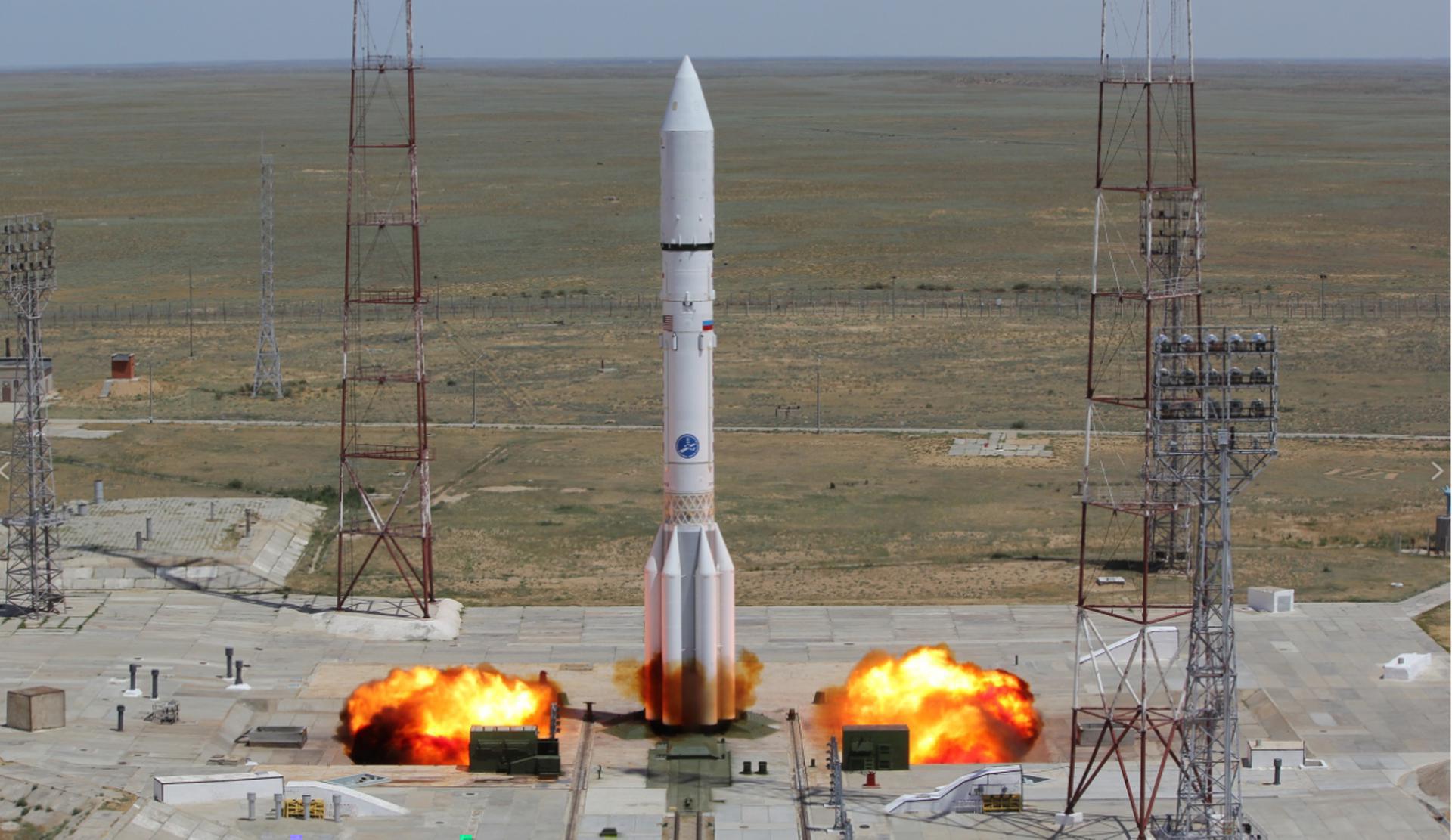
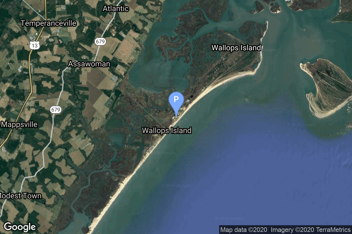
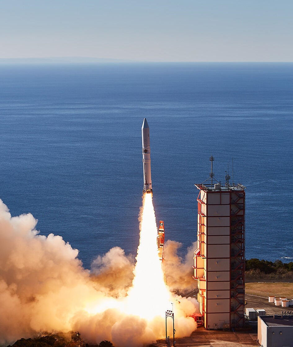
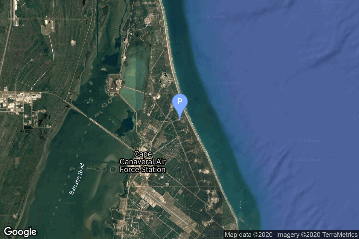
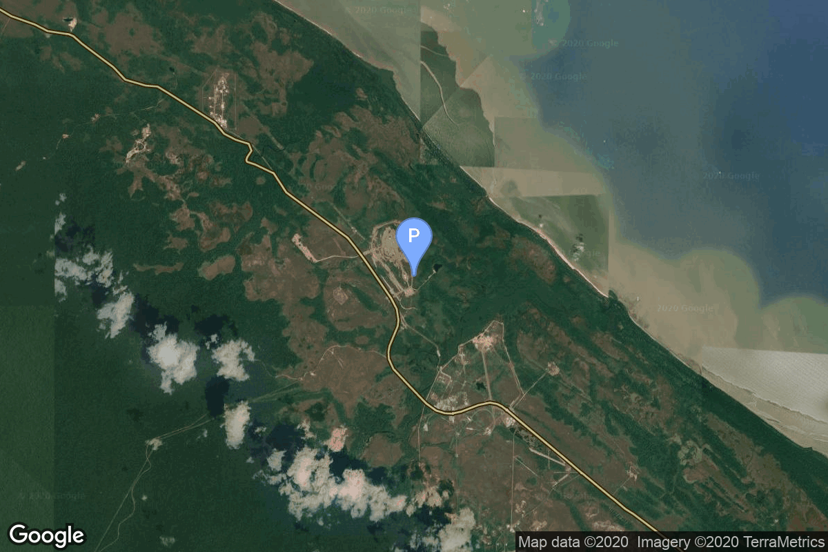
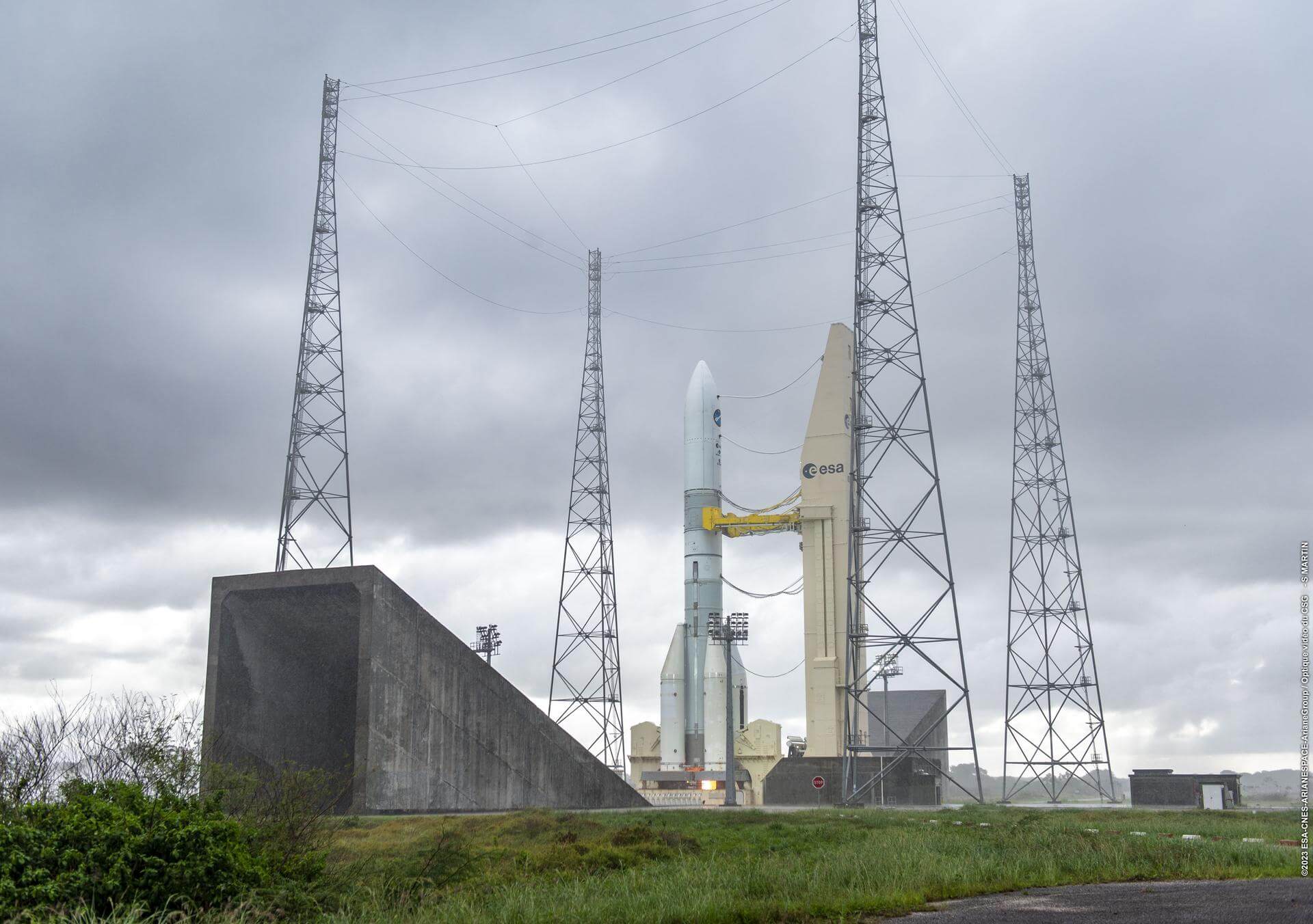
{ "count": 7500, "next": "https://ll.thespacedevs.com/2.0.0/launch/?format=api&limit=10&offset=7040&ordering=-id", "previous": "https://ll.thespacedevs.com/2.0.0/launch/?format=api&limit=10&offset=7020&ordering=-id", "results": [ { "id": "104013c7-d082-4c56-a81c-270fe77ac286", "url": "https://ll.thespacedevs.com/2.0.0/launch/104013c7-d082-4c56-a81c-270fe77ac286/?format=api", "launch_library_id": null, "slug": "proton-m-briz-m-amc-23", "name": "Proton-M Briz-M | AMC 23", "status": { "id": 3, "name": "Success" }, "net": "2005-12-29T02:28:40Z", "window_end": "2005-12-29T02:28:40Z", "window_start": "2005-12-29T02:28:40Z", "inhold": false, "tbdtime": false, "tbddate": false, "probability": null, "holdreason": "", "failreason": null, "hashtag": null, "launch_service_provider": { "id": 96, "url": "https://ll.thespacedevs.com/2.0.0/agencies/96/?format=api", "name": "Khrunichev State Research and Production Space Center", "type": "Government" }, "rocket": { "id": 7253, "configuration": { "id": 22, "launch_library_id": 4, "url": "https://ll.thespacedevs.com/2.0.0/config/launcher/22/?format=api", "name": "Proton-M Briz-M", "family": "Proton / UR-500", "full_name": "Proton-M Briz-M", "variant": "Briz-M" } }, "mission": { "id": 5642, "launch_library_id": null, "name": "AMC 23", "description": "This series of satellites based on the new generation Spacebus-4000C3 platform has been originally ordered by GE-Americom as GE 1i, 2i, 3i, 4i and 2E. They were renamed to AMC after SES took over Americom and some were cancelled in this process.", "launch_designator": null, "type": "Communications", "orbit": { "id": 1, "name": "Geostationary Orbit", "abbrev": "Direct-GEO" } }, "pad": { "id": 15, "url": "https://ll.thespacedevs.com/2.0.0/pad/15/?format=api", "agency_id": null, "name": "200/39 (200L)", "info_url": null, "wiki_url": "", "map_url": "https://www.google.com/maps?q=46.039984,63.032093", "latitude": "46.039984", "longitude": "63.032093", "location": { "id": 15, "url": "https://ll.thespacedevs.com/2.0.0/location/15/?format=api", "name": "Baikonur Cosmodrome, Republic of Kazakhstan", "country_code": "KAZ", "map_image": "https://thespacedevs-prod.nyc3.digitaloceanspaces.com/media/map_images/location_15_20200803142517.jpg", "total_launch_count": 1555, "total_landing_count": 0 }, "map_image": "https://thespacedevs-prod.nyc3.digitaloceanspaces.com/media/map_images/pad_15_20200803143530.jpg", "total_launch_count": 167 }, "webcast_live": false, "image": "https://thespacedevs-prod.nyc3.digitaloceanspaces.com/media/images/proton-m2520briz-m_image_20190224012317.jpeg", "infographic": null, "program": [] }, { "id": "102e2f02-0c9f-47f0-a4b2-1583b6982d3a", "url": "https://ll.thespacedevs.com/2.0.0/launch/102e2f02-0c9f-47f0-a4b2-1583b6982d3a/?format=api", "launch_library_id": null, "slug": "scout-x-2-p-21a", "name": "Scout X-2 | P-21A", "status": { "id": 3, "name": "Success" }, "net": "1962-03-29T07:27:00Z", "window_end": "1962-03-29T07:27:00Z", "window_start": "1962-03-29T07:27:00Z", "inhold": false, "tbdtime": false, "tbddate": false, "probability": null, "holdreason": "", "failreason": null, "hashtag": null, "launch_service_provider": { "id": 44, "url": "https://ll.thespacedevs.com/2.0.0/agencies/44/?format=api", "name": "National Aeronautics and Space Administration", "type": "Government" }, "rocket": { "id": 3111, "configuration": { "id": 364, "launch_library_id": null, "url": "https://ll.thespacedevs.com/2.0.0/config/launcher/364/?format=api", "name": "Scout X-2", "family": "Scout", "full_name": "Scout X-2", "variant": "X-2" } }, "mission": { "id": 1533, "launch_library_id": null, "name": "P-21A", "description": "Aeronomy mission", "launch_designator": null, "type": "Earth Science", "orbit": { "id": 8, "name": "Low Earth Orbit", "abbrev": "LEO" } }, "pad": { "id": 94, "url": "https://ll.thespacedevs.com/2.0.0/pad/94/?format=api", "agency_id": 44, "name": "Launch Area 3", "info_url": null, "wiki_url": "", "map_url": "https://www.google.com/maps?q=37.8495,-75.4725", "latitude": "37.8495", "longitude": "-75.4725", "location": { "id": 21, "url": "https://ll.thespacedevs.com/2.0.0/location/21/?format=api", "name": "Wallops Flight Facility, Virginia, USA", "country_code": "USA", "map_image": "https://thespacedevs-prod.nyc3.digitaloceanspaces.com/media/map_images/location_21_20200803142423.jpg", "total_launch_count": 80, "total_landing_count": 0 }, "map_image": "https://thespacedevs-prod.nyc3.digitaloceanspaces.com/media/map_images/pad_94_20200803143206.jpg", "total_launch_count": 13 }, "webcast_live": false, "image": null, "infographic": null, "program": [] }, { "id": "101d14cb-0b19-4a04-81d5-064a4fa68501", "url": "https://ll.thespacedevs.com/2.0.0/launch/101d14cb-0b19-4a04-81d5-064a4fa68501/?format=api", "launch_library_id": null, "slug": "vostok-8a92m-meteor-priroda-2-4", "name": "Vostok 8A92M | Meteor-Priroda 2-4", "status": { "id": 3, "name": "Success" }, "net": "1981-07-10T05:14:00Z", "window_end": "1981-07-10T05:14:00Z", "window_start": "1981-07-10T05:14:00Z", "inhold": false, "tbdtime": false, "tbddate": false, "probability": null, "holdreason": "", "failreason": null, "hashtag": null, "launch_service_provider": { "id": 66, "url": "https://ll.thespacedevs.com/2.0.0/agencies/66/?format=api", "name": "Soviet Space Program", "type": "Government" }, "rocket": { "id": 5296, "configuration": { "id": 452, "launch_library_id": null, "url": "https://ll.thespacedevs.com/2.0.0/config/launcher/452/?format=api", "name": "Vostok 8A92M", "family": "Vostok", "full_name": "Vostok 8A92M", "variant": "8A92M" } }, "mission": { "id": 3704, "launch_library_id": null, "name": "Meteor-Priroda 2-4", "description": "Meteor meteorological satellite", "launch_designator": null, "type": "Earth Science", "orbit": { "id": 17, "name": "Sun-Synchronous Orbit", "abbrev": "SSO" } }, "pad": { "id": 20, "url": "https://ll.thespacedevs.com/2.0.0/pad/20/?format=api", "agency_id": null, "name": "31/6", "info_url": null, "wiki_url": "https://en.wikipedia.org/wiki/Baikonur_Cosmodrome_Site_31", "map_url": "https://www.google.com/maps?q=45.996034,63.564003", "latitude": "45.996034", "longitude": "63.564003", "location": { "id": 15, "url": "https://ll.thespacedevs.com/2.0.0/location/15/?format=api", "name": "Baikonur Cosmodrome, Republic of Kazakhstan", "country_code": "KAZ", "map_image": "https://thespacedevs-prod.nyc3.digitaloceanspaces.com/media/map_images/location_15_20200803142517.jpg", "total_launch_count": 1555, "total_landing_count": 0 }, "map_image": "https://thespacedevs-prod.nyc3.digitaloceanspaces.com/media/map_images/pad_20_20200803143516.jpg", "total_launch_count": 422 }, "webcast_live": false, "image": null, "infographic": null, "program": [] }, { "id": "1017c305-e50d-4a0f-8414-f7220d36e332", "url": "https://ll.thespacedevs.com/2.0.0/launch/1017c305-e50d-4a0f-8414-f7220d36e332/?format=api", "launch_library_id": null, "slug": "epsilon-raise-3-others", "name": "Epsilon | RAISE-3 & others", "status": { "id": 4, "name": "Failure" }, "net": "2022-10-12T00:50:43Z", "window_end": "2022-10-12T00:55:11Z", "window_start": "2022-10-12T00:50:43Z", "inhold": false, "tbdtime": false, "tbddate": false, "probability": null, "holdreason": "", "failreason": "Flight Termination System activated at T+06:28 after rocket was observed not in correct attitude for normal 2nd/3rd stage separation.", "hashtag": null, "launch_service_provider": { "id": 37, "url": "https://ll.thespacedevs.com/2.0.0/agencies/37/?format=api", "name": "Japan Aerospace Exploration Agency", "type": "Government" }, "rocket": { "id": 377, "configuration": { "id": 112, "launch_library_id": 168, "url": "https://ll.thespacedevs.com/2.0.0/config/launcher/112/?format=api", "name": "Epsilon", "family": "Epsilon", "full_name": "Epsilon", "variant": "" } }, "mission": { "id": 6121, "launch_library_id": null, "name": "RAISE-3 & others", "description": "RAISE-3 (RApid Innovative payload demonstration Satellite-3) was a satellite for on-orbit demonstrations of 7 demonstration components and equipment selected by public solicitation. The satellite was to be operated in response to requests from the demonstration theme proposers, and will provide experimental data of the demonstration devices and environmental data during the experiments.\r\n\r\nThe launch is also carrying QPS-SAR 3 & 4 radar Earth observation satellites for iQPS, and 5 cubesats for various Japanese institutions & companies.", "launch_designator": null, "type": "Technology", "orbit": { "id": 17, "name": "Sun-Synchronous Orbit", "abbrev": "SSO" } }, "pad": { "id": 47, "url": "https://ll.thespacedevs.com/2.0.0/pad/47/?format=api", "agency_id": 37, "name": "Mu Center", "info_url": null, "wiki_url": "https://en.wikipedia.org/wiki/Uchinoura_Space_Center", "map_url": "https://www.google.com/maps?q=31.2509794,131.0821319", "latitude": "31.2509794", "longitude": "131.0821319", "location": { "id": 24, "url": "https://ll.thespacedevs.com/2.0.0/location/24/?format=api", "name": "Uchinoura Space Center, Japan", "country_code": "JPN", "map_image": "https://thespacedevs-prod.nyc3.digitaloceanspaces.com/media/map_images/location_24_20200803142411.jpg", "total_launch_count": 43, "total_landing_count": 0 }, "map_image": "https://thespacedevs-prod.nyc3.digitaloceanspaces.com/media/map_images/pad_47_20200803143524.jpg", "total_launch_count": 36 }, "webcast_live": false, "image": "https://thespacedevs-prod.nyc3.digitaloceanspaces.com/media/images/epsilon_image_20221009075145.jpg", "infographic": null, "program": [] }, { "id": "100d627c-4835-4fe2-a3b4-8e17c0ff6765", "url": "https://ll.thespacedevs.com/2.0.0/launch/100d627c-4835-4fe2-a3b4-8e17c0ff6765/?format=api", "launch_library_id": null, "slug": "delta-0300-noaa-3", "name": "Delta 0300 | NOAA 3", "status": { "id": 3, "name": "Success" }, "net": "1973-11-06T17:02:00Z", "window_end": "1973-11-06T17:02:00Z", "window_start": "1973-11-06T17:02:00Z", "inhold": false, "tbdtime": false, "tbddate": false, "probability": null, "holdreason": "", "failreason": null, "hashtag": null, "launch_service_provider": { "id": 161, "url": "https://ll.thespacedevs.com/2.0.0/agencies/161/?format=api", "name": "United States Air Force", "type": "Government" }, "rocket": { "id": 4416, "configuration": { "id": 275, "launch_library_id": null, "url": "https://ll.thespacedevs.com/2.0.0/config/launcher/275/?format=api", "name": "Delta 0300", "family": "Delta", "full_name": "Delta 0300", "variant": "0300" } }, "mission": { "id": 2834, "launch_library_id": null, "name": "NOAA 3", "description": "Meteorological satellite using radiometric imaging", "launch_designator": null, "type": "Earth Science", "orbit": { "id": 17, "name": "Sun-Synchronous Orbit", "abbrev": "SSO" } }, "pad": { "id": 39, "url": "https://ll.thespacedevs.com/2.0.0/pad/39/?format=api", "agency_id": null, "name": "Space Launch Complex 2W", "info_url": null, "wiki_url": "https://en.wikipedia.org/wiki/Vandenberg_Space_Launch_Complex_2", "map_url": "https://www.google.com/maps?q=34.7556,-120.6224", "latitude": "34.7556", "longitude": "-120.6224", "location": { "id": 11, "url": "https://ll.thespacedevs.com/2.0.0/location/11/?format=api", "name": "Vandenberg SFB, CA, USA", "country_code": "USA", "map_image": "https://thespacedevs-prod.nyc3.digitaloceanspaces.com/media/map_images/location_11_20200803142416.jpg", "total_launch_count": 806, "total_landing_count": 26 }, "map_image": "https://thespacedevs-prod.nyc3.digitaloceanspaces.com/media/map_images/pad_39_20200803143542.jpg", "total_launch_count": 98 }, "webcast_live": false, "image": null, "infographic": null, "program": [] }, { "id": "1006ac76-802b-4719-986f-6fb992e1aaa6", "url": "https://ll.thespacedevs.com/2.0.0/launch/1006ac76-802b-4719-986f-6fb992e1aaa6/?format=api", "launch_library_id": null, "slug": "titan-iiia-les-1", "name": "Titan IIIA | LES 1", "status": { "id": 3, "name": "Success" }, "net": "1965-02-11T15:19:05Z", "window_end": "1965-02-11T15:19:05Z", "window_start": "1965-02-11T15:19:05Z", "inhold": false, "tbdtime": false, "tbddate": false, "probability": null, "holdreason": "", "failreason": null, "hashtag": null, "launch_service_provider": { "id": 161, "url": "https://ll.thespacedevs.com/2.0.0/agencies/161/?format=api", "name": "United States Air Force", "type": "Government" }, "rocket": { "id": 3360, "configuration": { "id": 437, "launch_library_id": null, "url": "https://ll.thespacedevs.com/2.0.0/config/launcher/437/?format=api", "name": "Titan IIIA", "family": "Titan", "full_name": "Titan IIIA", "variant": "IIIA" } }, "mission": { "id": 1781, "launch_library_id": null, "name": "LES 1", "description": "Experimental communications satellite featuring a single X-band transponder and an 8-horn electronically switched antenna.", "launch_designator": null, "type": "Communications", "orbit": { "id": 12, "name": "Medium Earth Orbit", "abbrev": "MEO" } }, "pad": { "id": 120, "url": "https://ll.thespacedevs.com/2.0.0/pad/120/?format=api", "agency_id": 161, "name": "Space Launch Complex 20", "info_url": null, "wiki_url": "https://en.wikipedia.org/wiki/Cape_Canaveral_Space_Launch_Complex_20", "map_url": "https://www.google.com/maps?q=28.5122222,-80.5588607", "latitude": "28.5122222", "longitude": "-80.5588607", "location": { "id": 12, "url": "https://ll.thespacedevs.com/2.0.0/location/12/?format=api", "name": "Cape Canaveral SFS, FL, USA", "country_code": "USA", "map_image": "https://thespacedevs-prod.nyc3.digitaloceanspaces.com/media/map_images/location_12_20200803142519.jpg", "total_launch_count": 1023, "total_landing_count": 64 }, "map_image": "https://thespacedevs-prod.nyc3.digitaloceanspaces.com/media/map_images/pad_120_20200803143230.jpg", "total_launch_count": 4 }, "webcast_live": false, "image": null, "infographic": null, "program": [] }, { "id": "1000f2c2-d88a-4ebe-8a7b-3c7ef0b64e6c", "url": "https://ll.thespacedevs.com/2.0.0/launch/1000f2c2-d88a-4ebe-8a7b-3c7ef0b64e6c/?format=api", "launch_library_id": null, "slug": "soyuz-u-zenit-4mkm-17", "name": "Soyuz U | Zenit-4MKM 17", "status": { "id": 3, "name": "Success" }, "net": "1978-06-10T08:35:00Z", "window_end": "1978-06-10T08:35:00Z", "window_start": "1978-06-10T08:35:00Z", "inhold": false, "tbdtime": false, "tbddate": false, "probability": null, "holdreason": "", "failreason": null, "hashtag": null, "launch_service_provider": { "id": 66, "url": "https://ll.thespacedevs.com/2.0.0/agencies/66/?format=api", "name": "Soviet Space Program", "type": "Government" }, "rocket": { "id": 4970, "configuration": { "id": 37, "launch_library_id": 35, "url": "https://ll.thespacedevs.com/2.0.0/config/launcher/37/?format=api", "name": "Soyuz U", "family": "Soyuz", "full_name": "Soyuz U", "variant": "" } }, "mission": { "id": 3385, "launch_library_id": null, "name": "Zenit-4MKM 17", "description": "High-resolution film-return Zenit reconnaissance satellite", "launch_designator": null, "type": "Government/Top Secret", "orbit": { "id": 8, "name": "Low Earth Orbit", "abbrev": "LEO" } }, "pad": { "id": 20, "url": "https://ll.thespacedevs.com/2.0.0/pad/20/?format=api", "agency_id": null, "name": "31/6", "info_url": null, "wiki_url": "https://en.wikipedia.org/wiki/Baikonur_Cosmodrome_Site_31", "map_url": "https://www.google.com/maps?q=45.996034,63.564003", "latitude": "45.996034", "longitude": "63.564003", "location": { "id": 15, "url": "https://ll.thespacedevs.com/2.0.0/location/15/?format=api", "name": "Baikonur Cosmodrome, Republic of Kazakhstan", "country_code": "KAZ", "map_image": "https://thespacedevs-prod.nyc3.digitaloceanspaces.com/media/map_images/location_15_20200803142517.jpg", "total_launch_count": 1555, "total_landing_count": 0 }, "map_image": "https://thespacedevs-prod.nyc3.digitaloceanspaces.com/media/map_images/pad_20_20200803143516.jpg", "total_launch_count": 422 }, "webcast_live": false, "image": "https://thespacedevs-prod.nyc3.digitaloceanspaces.com/media/images/soyuz2520u_image_20190222031023.jpeg", "infographic": null, "program": [] }, { "id": "0ffd7efb-7577-4aab-99da-fd1f6f4606c2", "url": "https://ll.thespacedevs.com/2.0.0/launch/0ffd7efb-7577-4aab-99da-fd1f6f4606c2/?format=api", "launch_library_id": null, "slug": "ariane-64-envision", "name": "Ariane 64 | EnVision", "status": { "id": 2, "name": "TBD" }, "net": "2031-12-31T00:00:00Z", "window_end": "2031-12-31T00:00:00Z", "window_start": "2031-12-31T00:00:00Z", "inhold": false, "tbdtime": true, "tbddate": true, "probability": null, "holdreason": "", "failreason": "", "hashtag": null, "launch_service_provider": { "id": 115, "url": "https://ll.thespacedevs.com/2.0.0/agencies/115/?format=api", "name": "Arianespace", "type": "Commercial" }, "rocket": { "id": 8180, "configuration": { "id": 116, "launch_library_id": 165, "url": "https://ll.thespacedevs.com/2.0.0/config/launcher/116/?format=api", "name": "Ariane 64", "family": "Ariane", "full_name": "Ariane 64", "variant": "64" } }, "mission": { "id": 6747, "launch_library_id": null, "name": "EnVision", "description": "European Space Agency mission to study Venus' atmosphere, geological activity, and climate.", "launch_designator": null, "type": "Planetary Science", "orbit": { "id": 20, "name": "Venus Orbit", "abbrev": "Venus" } }, "pad": { "id": 67, "url": "https://ll.thespacedevs.com/2.0.0/pad/67/?format=api", "agency_id": 115, "name": "Ariane Launch Area 4", "info_url": null, "wiki_url": "https://en.wikipedia.org/wiki/Guiana_Space_Centre", "map_url": "https://www.google.com/maps?q=5.256319,-52.786838", "latitude": "5.256319", "longitude": "-52.786838", "location": { "id": 13, "url": "https://ll.thespacedevs.com/2.0.0/location/13/?format=api", "name": "Guiana Space Centre, French Guiana", "country_code": "GUF", "map_image": "https://thespacedevs-prod.nyc3.digitaloceanspaces.com/media/map_images/location_13_20200803142412.jpg", "total_launch_count": 325, "total_landing_count": 0 }, "map_image": "https://thespacedevs-prod.nyc3.digitaloceanspaces.com/media/map_images/pad_67_20200803143559.jpg", "total_launch_count": 2 }, "webcast_live": false, "image": "https://thespacedevs-prod.nyc3.digitaloceanspaces.com/media/images/ariane_6_image_20240125142128.jpeg", "infographic": null, "program": [] }, { "id": "0fe84789-0e8c-4b7f-b712-35928bc0f50f", "url": "https://ll.thespacedevs.com/2.0.0/launch/0fe84789-0e8c-4b7f-b712-35928bc0f50f/?format=api", "launch_library_id": 172, "slug": "space-shuttle-challenger-ov-099-sts-41-b", "name": "Space Shuttle Challenger / OV-099 | STS-41-B", "status": { "id": 3, "name": "Success" }, "net": "1984-02-03T13:00:00Z", "window_end": "1984-02-03T13:00:00Z", "window_start": "1984-02-03T13:00:00Z", "inhold": false, "tbdtime": false, "tbddate": false, "probability": -1, "holdreason": "", "failreason": null, "hashtag": null, "launch_service_provider": { "id": 192, "url": "https://ll.thespacedevs.com/2.0.0/agencies/192/?format=api", "name": "Lockheed Space Operations Company", "type": "Commercial" }, "rocket": { "id": 295, "configuration": { "id": 493, "launch_library_id": null, "url": "https://ll.thespacedevs.com/2.0.0/config/launcher/493/?format=api", "name": "Space Shuttle", "family": "", "full_name": "Space Shuttle", "variant": "" } }, "mission": { "id": 527, "launch_library_id": 906, "name": "STS-41-B", "description": "STS-41-B was the tenth Space Shuttle mission and the fourth of the Space Shuttle Challenger. It deployed 2 communication satellites and inluded the first untethered spacewalk. It was also the first shuttle mission to land at Kennedy Space Center.", "launch_designator": null, "type": "Communications", "orbit": { "id": 8, "name": "Low Earth Orbit", "abbrev": "LEO" } }, "pad": { "id": 87, "url": "https://ll.thespacedevs.com/2.0.0/pad/87/?format=api", "agency_id": 121, "name": "Launch Complex 39A", "info_url": null, "wiki_url": "https://en.wikipedia.org/wiki/Kennedy_Space_Center_Launch_Complex_39#Launch_Pad_39A", "map_url": "https://www.google.com/maps?q=28.60822681,-80.60428186", "latitude": "28.60822681", "longitude": "-80.60428186", "location": { "id": 27, "url": "https://ll.thespacedevs.com/2.0.0/location/27/?format=api", "name": "Kennedy Space Center, FL, USA", "country_code": "USA", "map_image": "https://thespacedevs-prod.nyc3.digitaloceanspaces.com/media/map_images/location_27_20200803142447.jpg", "total_launch_count": 265, "total_landing_count": 0 }, "map_image": "https://thespacedevs-prod.nyc3.digitaloceanspaces.com/media/map_images/pad_87_20200803143537.jpg", "total_launch_count": 207 }, "webcast_live": false, "image": "https://thespacedevs-prod.nyc3.digitaloceanspaces.com/media/images/space_shuttle_image_20230422074810.jpeg", "infographic": null, "program": [ { "id": 6, "url": "https://ll.thespacedevs.com/2.0.0/program/6/?format=api", "name": "Space Shuttle", "description": "The Space Shuttle program was the fourth human spaceflight program carried out by the National Aeronautics and Space Administration (NASA), which accomplished routine transportation for Earth-to-orbit crew and cargo from 1981 to 2011.", "agencies": [ { "id": 44, "url": "https://ll.thespacedevs.com/2.0.0/agencies/44/?format=api", "name": "National Aeronautics and Space Administration", "type": "Government" } ], "image_url": "https://thespacedevs-prod.nyc3.digitaloceanspaces.com/media/images/space2520shutt_program_20200820202237.png", "start_date": "1981-04-12T12:00:03Z", "end_date": "2011-07-08T15:29:00Z", "info_url": "https://www.nasa.gov/mission_pages/shuttle/main/index.html", "wiki_url": "https://en.wikipedia.org/wiki/Space_Shuttle_program" } ] }, { "id": "0fe8060b-c430-4a6a-a3bf-99356359bda5", "url": "https://ll.thespacedevs.com/2.0.0/launch/0fe8060b-c430-4a6a-a3bf-99356359bda5/?format=api", "launch_library_id": null, "slug": "kosmos-3m-zaliv-10", "name": "Kosmos-3M | Zaliv 10", "status": { "id": 3, "name": "Success" }, "net": "1972-02-25T07:52:29Z", "window_end": "1972-02-25T07:52:29Z", "window_start": "1972-02-25T07:52:29Z", "inhold": false, "tbdtime": false, "tbddate": false, "probability": null, "holdreason": "", "failreason": null, "hashtag": null, "launch_service_provider": { "id": 66, "url": "https://ll.thespacedevs.com/2.0.0/agencies/66/?format=api", "name": "Soviet Space Program", "type": "Government" }, "rocket": { "id": 4229, "configuration": { "id": 102, "launch_library_id": 122, "url": "https://ll.thespacedevs.com/2.0.0/config/launcher/102/?format=api", "name": "Kosmos-3M", "family": "Kosmos", "full_name": "Kosmos-3M (11K65M)", "variant": "-3M" } }, "mission": { "id": 2647, "launch_library_id": null, "name": "Zaliv 10", "description": "The first soviet navigation system called Tsiklon consisted of Zaliv satellites in low earth orbit.", "launch_designator": null, "type": "Navigation", "orbit": { "id": 8, "name": "Low Earth Orbit", "abbrev": "LEO" } }, "pad": { "id": 167, "url": "https://ll.thespacedevs.com/2.0.0/pad/167/?format=api", "agency_id": null, "name": "132/2", "info_url": null, "wiki_url": "https://en.wikipedia.org/wiki/Plesetsk_Cosmodrome", "map_url": "https://www.google.com/maps?q=62.883,40.869806", "latitude": "62.883", "longitude": "40.869806", "location": { "id": 6, "url": "https://ll.thespacedevs.com/2.0.0/location/6/?format=api", "name": "Plesetsk Cosmodrome, Russian Federation", "country_code": "RUS", "map_image": "https://thespacedevs-prod.nyc3.digitaloceanspaces.com/media/map_images/location_6_20200803142434.jpg", "total_launch_count": 1674, "total_landing_count": 0 }, "map_image": "https://thespacedevs-prod.nyc3.digitaloceanspaces.com/media/map_images/pad_167_20200803143417.jpg", "total_launch_count": 172 }, "webcast_live": false, "image": null, "infographic": null, "program": [] } ] }