Launch List
API endpoint that returns all Launch objects or a single launch.
EXAMPLE - /launch/
GET: Return a list of all Launch objects.
FILTERS: Fields - 'name', 'id(s)', 'lsp_id', 'lsp_name', 'serial_number', 'launcher_config__id', 'rocket__spacecraftflight__spacecraft__name'
MODE: 'normal', 'list', 'detailed' EXAMPLE: ?mode=list
SEARCH: Searches through the launch name, rocket name, launch agency, mission name & spacecraft name. EXAMPLE - ?search=SpaceX
GET /2.0.0/launch/?format=api&offset=6990&ordering=-id
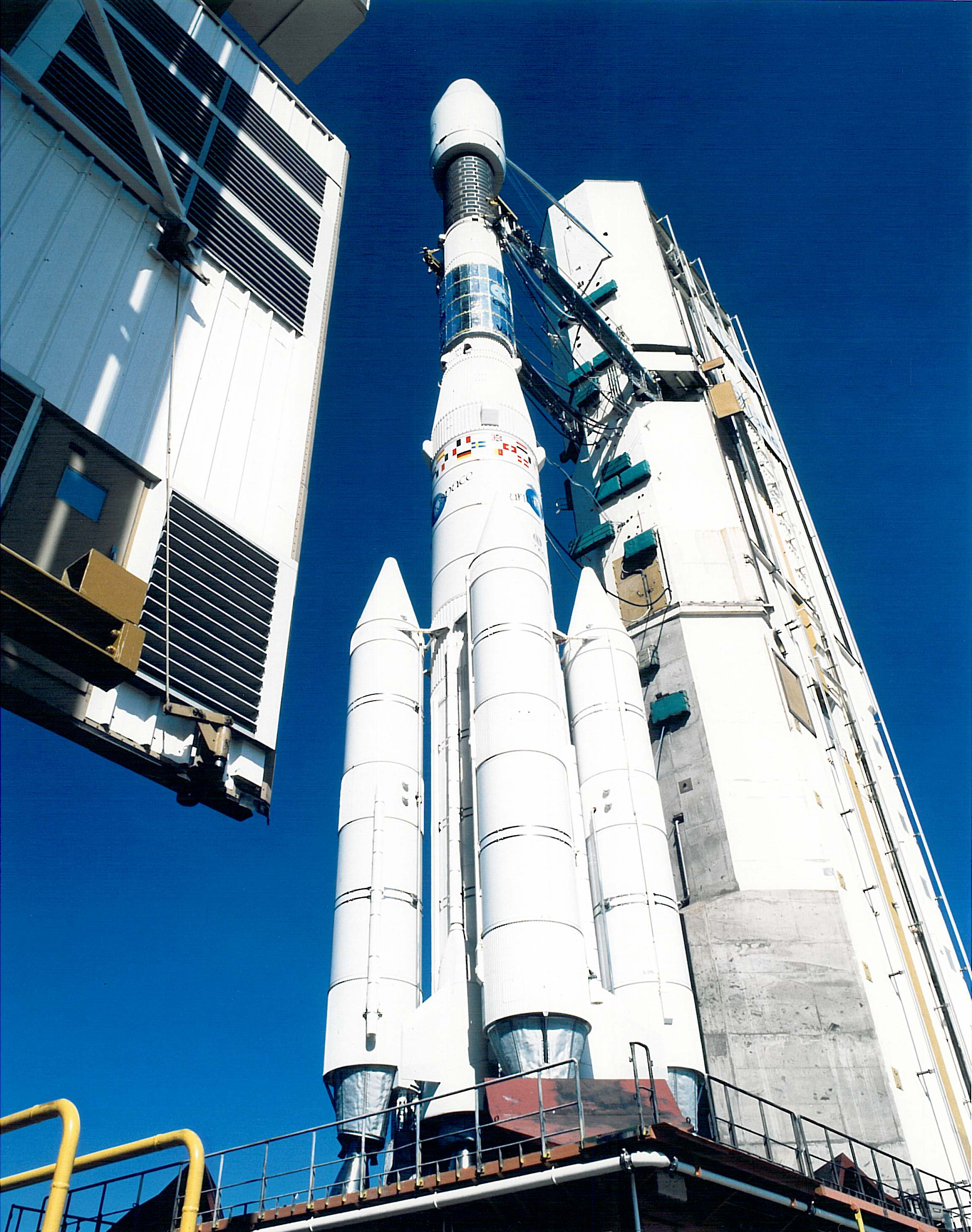
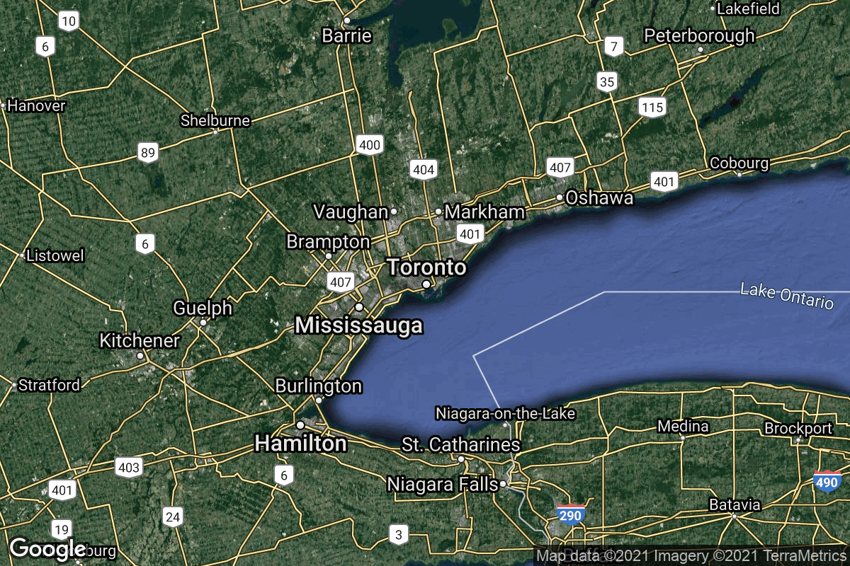
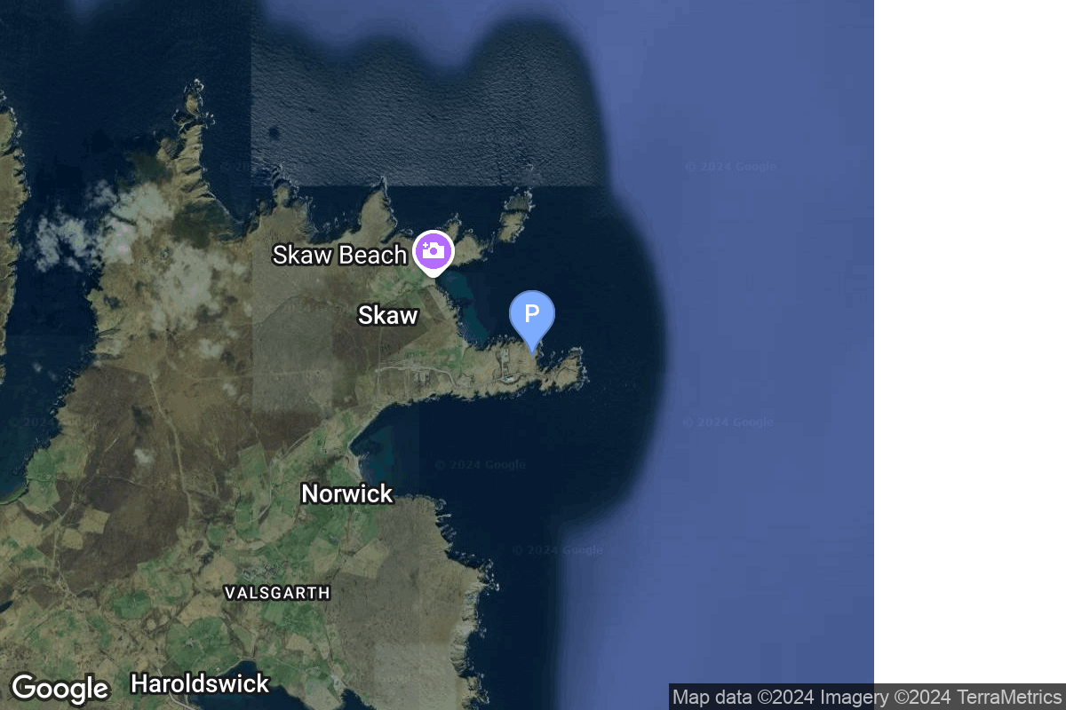
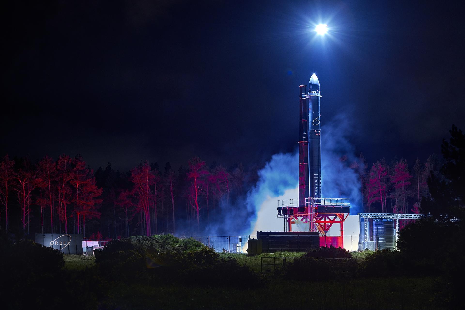
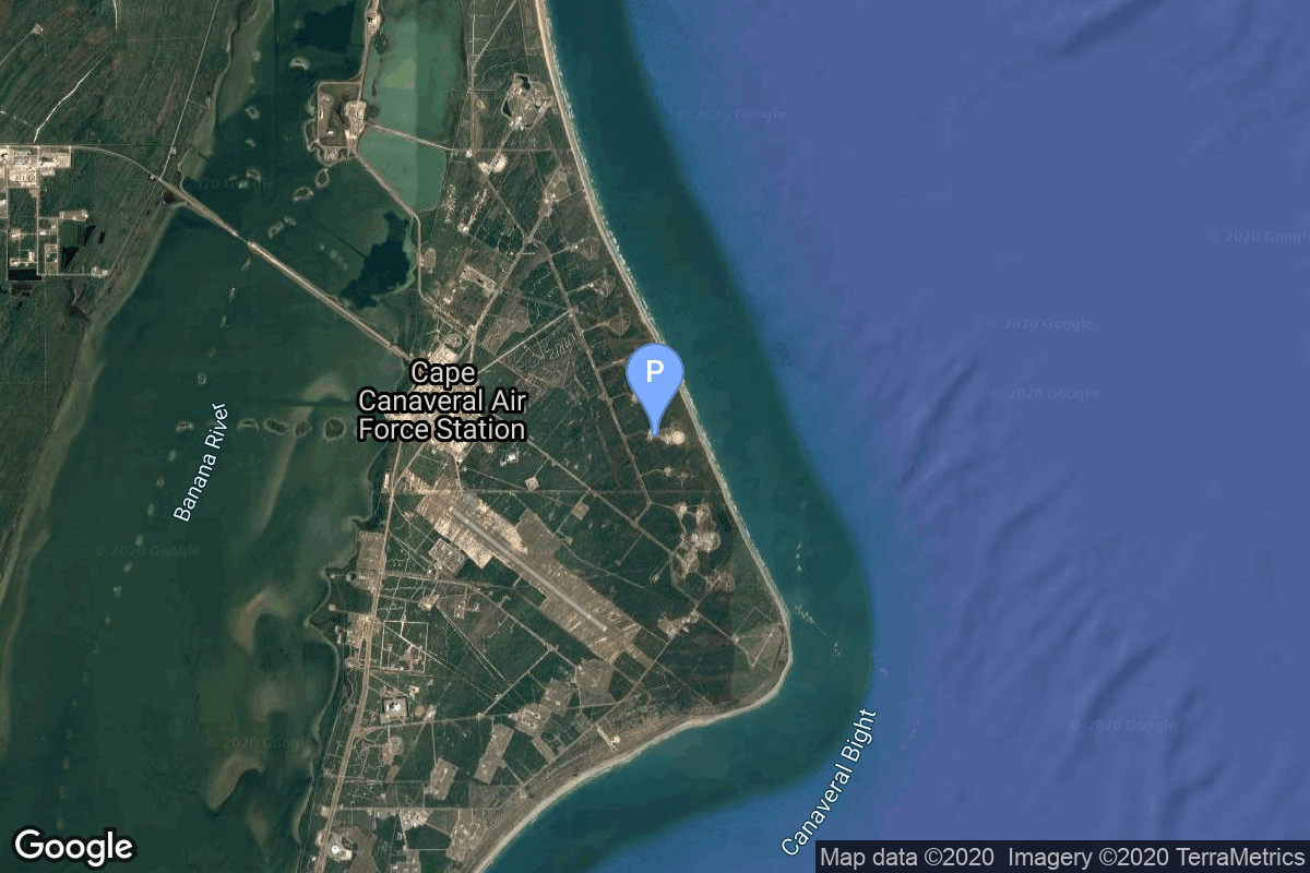
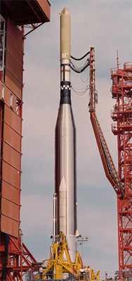
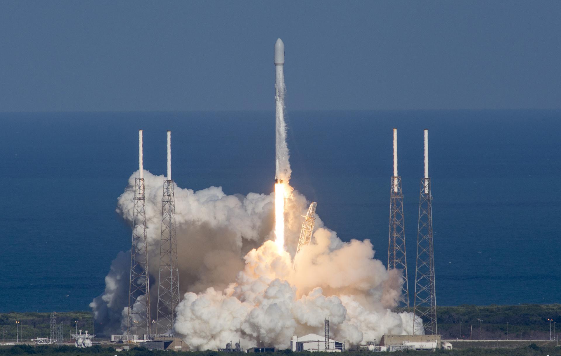
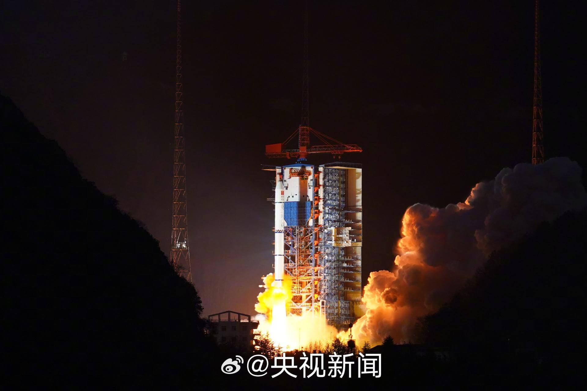
{ "count": 7794, "next": "https://ll.thespacedevs.com/2.0.0/launch/?format=api&limit=10&offset=7000&ordering=-id", "previous": "https://ll.thespacedevs.com/2.0.0/launch/?format=api&limit=10&offset=6980&ordering=-id", "results": [ { "id": "1b21e899-00b2-4d2c-9b67-2523fd928023", "url": "https://ll.thespacedevs.com/2.0.0/launch/1b21e899-00b2-4d2c-9b67-2523fd928023/?format=api", "launch_library_id": null, "slug": "ariane-44l-pas-3r-measat-1", "name": "Ariane 44L | PAS 3R & MEASAT 1", "status": { "id": 3, "name": "Success" }, "net": "1996-01-12T23:10:00Z", "window_end": "1996-01-12T23:10:00Z", "window_start": "1996-01-12T23:10:00Z", "inhold": false, "tbdtime": false, "tbddate": false, "probability": null, "holdreason": "", "failreason": null, "hashtag": null, "launch_service_provider": { "id": 115, "url": "https://ll.thespacedevs.com/2.0.0/agencies/115/?format=api", "name": "Arianespace", "type": "Commercial" }, "rocket": { "id": 6705, "configuration": { "id": 225, "launch_library_id": null, "url": "https://ll.thespacedevs.com/2.0.0/config/launcher/225/?format=api", "name": "Ariane 44L", "family": "Ariane", "full_name": "Ariane 44L", "variant": "44L" } }, "mission": { "id": 5095, "launch_library_id": null, "name": "PAS 3R & MEASAT 1", "description": "In November 1991, PanAmSat Corporation ordered three Hughes HS-601 model PAS (PanAmSat) satellites from Hughes Space and Communications Company. The satellites provide video services for program distribution and syndication; data services for business applications; and services for video, radio, data and telephone transmission. They were placed over the Pacific, Atlantic and Indian oceans, respectively. In August 1993, PanAmSat ordered a fourth satellite, to be used as a spare. The spare was pressed into service to replace the first PAS-3 spacecraft, which was lost during a launch vehicle failure. The MEASAT system will provide the first direct-to-user (DTU) service in Malaysia, as well as general communications services in an area reaching from India to Hawaii and from Japan to East Australia. Among DTU services are television and educational programs beamed to small (50-cm) home antennas. General regional communications services include telephony, television, data transmission, and business networks. Binariang is the first cellular operator in Malaysia to offer fully digital services.", "launch_designator": null, "type": "Communications", "orbit": { "id": 1, "name": "Geostationary Orbit", "abbrev": "Direct-GEO" } }, "pad": { "id": 124, "url": "https://ll.thespacedevs.com/2.0.0/pad/124/?format=api", "agency_id": 115, "name": "Ariane Launch Area 2", "info_url": null, "wiki_url": "https://en.wikipedia.org/wiki/ELA-2", "map_url": "https://www.google.com/maps?q=5.232,-52.778194", "latitude": "5.232", "longitude": "-52.778194", "location": { "id": 13, "url": "https://ll.thespacedevs.com/2.0.0/location/13/?format=api", "name": "Guiana Space Centre, French Guiana", "country_code": "GUF", "map_image": "https://thespacedevs-prod.nyc3.digitaloceanspaces.com/media/map_images/location_13_20200803142412.jpg", "total_launch_count": 331, "total_landing_count": 0 }, "map_image": "https://thespacedevs-prod.nyc3.digitaloceanspaces.com/media/map_images/pad_124_20200803143241.jpg", "total_launch_count": 119 }, "webcast_live": false, "image": "https://thespacedevs-prod.nyc3.digitaloceanspaces.com/media/images/ariane_44l_at_e_image_20240401082337.jpg", "infographic": null, "program": [] }, { "id": "1b1dec76-c13e-420a-9712-bcc57cb071a7", "url": "https://ll.thespacedevs.com/2.0.0/launch/1b1dec76-c13e-420a-9712-bcc57cb071a7/?format=api", "launch_library_id": 1821, "slug": "soyuz-u-progress-m-mim2", "name": "Soyuz U | Progress M-MIM2", "status": { "id": 3, "name": "Success" }, "net": "2009-11-10T14:22:04Z", "window_end": "2009-11-10T14:22:04Z", "window_start": "2009-11-10T14:22:04Z", "inhold": false, "tbdtime": false, "tbddate": false, "probability": 0, "holdreason": "", "failreason": "", "hashtag": "", "launch_service_provider": { "id": 63, "url": "https://ll.thespacedevs.com/2.0.0/agencies/63/?format=api", "name": "Russian Federal Space Agency (ROSCOSMOS)", "type": "Government" }, "rocket": { "id": 2353, "configuration": { "id": 37, "launch_library_id": 35, "url": "https://ll.thespacedevs.com/2.0.0/config/launcher/37/?format=api", "name": "Soyuz U", "family": "Soyuz", "full_name": "Soyuz U", "variant": "" } }, "mission": null, "pad": { "id": 32, "url": "https://ll.thespacedevs.com/2.0.0/pad/32/?format=api", "agency_id": null, "name": "1/5", "info_url": null, "wiki_url": "", "map_url": "https://www.google.com/maps?q=45.92,63.342", "latitude": "45.92", "longitude": "63.342", "location": { "id": 15, "url": "https://ll.thespacedevs.com/2.0.0/location/15/?format=api", "name": "Baikonur Cosmodrome, Republic of Kazakhstan", "country_code": "KAZ", "map_image": "https://thespacedevs-prod.nyc3.digitaloceanspaces.com/media/map_images/location_15_20200803142517.jpg", "total_launch_count": 1560, "total_landing_count": 0 }, "map_image": "https://thespacedevs-prod.nyc3.digitaloceanspaces.com/media/map_images/pad_32_20200803143513.jpg", "total_launch_count": 487 }, "webcast_live": false, "image": "https://thespacedevs-prod.nyc3.digitaloceanspaces.com/media/images/soyuz2520u_image_20190222031023.jpeg", "infographic": null, "program": [ { "id": 17, "url": "https://ll.thespacedevs.com/2.0.0/program/17/?format=api", "name": "International Space Station", "description": "The International Space Station programme is tied together by a complex set of legal, political and financial agreements between the sixteen nations involved in the project, governing ownership of the various components, rights to crewing and utilization, and responsibilities for crew rotation and resupply of the International Space Station. It was conceived in 1984 by President Ronald Reagan, during the Space Station Freedom project as it was originally called.", "agencies": [ { "id": 16, "url": "https://ll.thespacedevs.com/2.0.0/agencies/16/?format=api", "name": "Canadian Space Agency", "type": "Government" }, { "id": 27, "url": "https://ll.thespacedevs.com/2.0.0/agencies/27/?format=api", "name": "European Space Agency", "type": "Multinational" }, { "id": 37, "url": "https://ll.thespacedevs.com/2.0.0/agencies/37/?format=api", "name": "Japan Aerospace Exploration Agency", "type": "Government" }, { "id": 44, "url": "https://ll.thespacedevs.com/2.0.0/agencies/44/?format=api", "name": "National Aeronautics and Space Administration", "type": "Government" }, { "id": 63, "url": "https://ll.thespacedevs.com/2.0.0/agencies/63/?format=api", "name": "Russian Federal Space Agency (ROSCOSMOS)", "type": "Government" } ], "image_url": "https://thespacedevs-prod.nyc3.digitaloceanspaces.com/media/images/international2_program_20201129184745.png", "start_date": "1998-11-20T06:40:00Z", "end_date": null, "info_url": "https://www.nasa.gov/mission_pages/station/main/index.html", "wiki_url": "https://en.wikipedia.org/wiki/International_Space_Station_programme" } ] }, { "id": "1b11f81e-cdbf-49aa-a7ce-aa79f609046c", "url": "https://ll.thespacedevs.com/2.0.0/launch/1b11f81e-cdbf-49aa-a7ce-aa79f609046c/?format=api", "launch_library_id": null, "slug": "orbex-prime-maiden-flight", "name": "Orbex Prime | Maiden Flight", "status": { "id": 2, "name": "TBD" }, "net": "2026-12-31T00:00:00Z", "window_end": "2026-12-31T00:00:00Z", "window_start": "2026-12-31T00:00:00Z", "inhold": false, "tbdtime": true, "tbddate": true, "probability": null, "holdreason": "", "failreason": "", "hashtag": null, "launch_service_provider": { "id": 1033, "url": "https://ll.thespacedevs.com/2.0.0/agencies/1033/?format=api", "name": "Orbex", "type": "Commercial" }, "rocket": { "id": 7575, "configuration": { "id": 480, "launch_library_id": null, "url": "https://ll.thespacedevs.com/2.0.0/config/launcher/480/?format=api", "name": "Prime", "family": "", "full_name": "Orbex Prime", "variant": "Prime" } }, "mission": { "id": 6018, "launch_library_id": null, "name": "Maiden Flight", "description": "Maiden flight of Orbex's Prime rocket from Sutherland Spaceport. This flights marks the first vertical orbital launch attempt from the United Kingdom, and the first orbital launch attempt from Scotland.", "launch_designator": null, "type": "Test Flight", "orbit": { "id": 25, "name": "Unknown", "abbrev": "N/A" } }, "pad": { "id": 237, "url": "https://ll.thespacedevs.com/2.0.0/pad/237/?format=api", "agency_id": null, "name": "Unknown Pad", "info_url": null, "wiki_url": "https://en.wikipedia.org/wiki/SaxaVord_Spaceport", "map_url": "https://www.google.com/maps?q=60.8184,-0.7692", "latitude": "60.8184", "longitude": "-0.7692", "location": { "id": 157, "url": "https://ll.thespacedevs.com/2.0.0/location/157/?format=api", "name": "SaxaVord Spaceport", "country_code": "GBR", "map_image": "https://thespacedevs-prod.nyc3.digitaloceanspaces.com/media/map_images/location_saxavord_spaceport_20211102161146.jpg", "total_launch_count": 0, "total_landing_count": 0 }, "map_image": "https://thespacedevs-prod.nyc3.digitaloceanspaces.com/media/map_images/pad_unknown_pad_20241227075133.jpg", "total_launch_count": 0 }, "webcast_live": false, "image": "https://thespacedevs-prod.nyc3.digitaloceanspaces.com/media/images/prime_image_20220511125637.jpg", "infographic": null, "program": [] }, { "id": "1b009a4b-b95f-4773-8646-0da7d2f5257c", "url": "https://ll.thespacedevs.com/2.0.0/launch/1b009a4b-b95f-4773-8646-0da7d2f5257c/?format=api", "launch_library_id": 599, "slug": "soyuz-u-progress-m-14m-46p", "name": "Soyuz-U | Progress M-14M (46P)", "status": { "id": 3, "name": "Success" }, "net": "2012-01-25T23:06:40Z", "window_end": "2012-01-25T23:06:40Z", "window_start": "2012-01-25T23:06:40Z", "inhold": false, "tbdtime": false, "tbddate": false, "probability": null, "holdreason": "", "failreason": null, "hashtag": null, "launch_service_provider": { "id": 63, "url": "https://ll.thespacedevs.com/2.0.0/agencies/63/?format=api", "name": "Russian Federal Space Agency (ROSCOSMOS)", "type": "Government" }, "rocket": { "id": 1588, "configuration": { "id": 37, "launch_library_id": 35, "url": "https://ll.thespacedevs.com/2.0.0/config/launcher/37/?format=api", "name": "Soyuz U", "family": "Soyuz", "full_name": "Soyuz U", "variant": "" } }, "mission": null, "pad": { "id": 32, "url": "https://ll.thespacedevs.com/2.0.0/pad/32/?format=api", "agency_id": null, "name": "1/5", "info_url": null, "wiki_url": "", "map_url": "https://www.google.com/maps?q=45.92,63.342", "latitude": "45.92", "longitude": "63.342", "location": { "id": 15, "url": "https://ll.thespacedevs.com/2.0.0/location/15/?format=api", "name": "Baikonur Cosmodrome, Republic of Kazakhstan", "country_code": "KAZ", "map_image": "https://thespacedevs-prod.nyc3.digitaloceanspaces.com/media/map_images/location_15_20200803142517.jpg", "total_launch_count": 1560, "total_landing_count": 0 }, "map_image": "https://thespacedevs-prod.nyc3.digitaloceanspaces.com/media/map_images/pad_32_20200803143513.jpg", "total_launch_count": 487 }, "webcast_live": false, "image": "https://thespacedevs-prod.nyc3.digitaloceanspaces.com/media/images/soyuz2520u_image_20190222031023.jpeg", "infographic": null, "program": [ { "id": 17, "url": "https://ll.thespacedevs.com/2.0.0/program/17/?format=api", "name": "International Space Station", "description": "The International Space Station programme is tied together by a complex set of legal, political and financial agreements between the sixteen nations involved in the project, governing ownership of the various components, rights to crewing and utilization, and responsibilities for crew rotation and resupply of the International Space Station. It was conceived in 1984 by President Ronald Reagan, during the Space Station Freedom project as it was originally called.", "agencies": [ { "id": 16, "url": "https://ll.thespacedevs.com/2.0.0/agencies/16/?format=api", "name": "Canadian Space Agency", "type": "Government" }, { "id": 27, "url": "https://ll.thespacedevs.com/2.0.0/agencies/27/?format=api", "name": "European Space Agency", "type": "Multinational" }, { "id": 37, "url": "https://ll.thespacedevs.com/2.0.0/agencies/37/?format=api", "name": "Japan Aerospace Exploration Agency", "type": "Government" }, { "id": 44, "url": "https://ll.thespacedevs.com/2.0.0/agencies/44/?format=api", "name": "National Aeronautics and Space Administration", "type": "Government" }, { "id": 63, "url": "https://ll.thespacedevs.com/2.0.0/agencies/63/?format=api", "name": "Russian Federal Space Agency (ROSCOSMOS)", "type": "Government" } ], "image_url": "https://thespacedevs-prod.nyc3.digitaloceanspaces.com/media/images/international2_program_20201129184745.png", "start_date": "1998-11-20T06:40:00Z", "end_date": null, "info_url": "https://www.nasa.gov/mission_pages/station/main/index.html", "wiki_url": "https://en.wikipedia.org/wiki/International_Space_Station_programme" } ] }, { "id": "1afd0c12-9836-4ee6-bf3c-34462f3b0255", "url": "https://ll.thespacedevs.com/2.0.0/launch/1afd0c12-9836-4ee6-bf3c-34462f3b0255/?format=api", "launch_library_id": null, "slug": "voskhod-zenit-4m-35", "name": "Voskhod | Zenit-4M 35", "status": { "id": 3, "name": "Success" }, "net": "1972-05-25T06:35:00Z", "window_end": "1972-05-25T06:35:00Z", "window_start": "1972-05-25T06:35:00Z", "inhold": false, "tbdtime": false, "tbddate": false, "probability": null, "holdreason": "", "failreason": null, "hashtag": null, "launch_service_provider": { "id": 66, "url": "https://ll.thespacedevs.com/2.0.0/agencies/66/?format=api", "name": "Soviet Space Program", "type": "Government" }, "rocket": { "id": 4259, "configuration": { "id": 104, "launch_library_id": 138, "url": "https://ll.thespacedevs.com/2.0.0/config/launcher/104/?format=api", "name": "Voskhod", "family": "R-7", "full_name": "Voskhod", "variant": "Voskhod" } }, "mission": { "id": 2677, "launch_library_id": null, "name": "Zenit-4M 35", "description": "The soviet Zenit-4M (Rotor, 11F691) was an improved version of the Zenit-4 high resolution reconnaissance satellite and was part of the Vostok-based Zenit-family.", "launch_designator": null, "type": "Government/Top Secret", "orbit": { "id": 8, "name": "Low Earth Orbit", "abbrev": "LEO" } }, "pad": { "id": 20, "url": "https://ll.thespacedevs.com/2.0.0/pad/20/?format=api", "agency_id": null, "name": "31/6", "info_url": null, "wiki_url": "https://en.wikipedia.org/wiki/Baikonur_Cosmodrome_Site_31", "map_url": "https://www.google.com/maps?q=45.996034,63.564003", "latitude": "45.996034", "longitude": "63.564003", "location": { "id": 15, "url": "https://ll.thespacedevs.com/2.0.0/location/15/?format=api", "name": "Baikonur Cosmodrome, Republic of Kazakhstan", "country_code": "KAZ", "map_image": "https://thespacedevs-prod.nyc3.digitaloceanspaces.com/media/map_images/location_15_20200803142517.jpg", "total_launch_count": 1560, "total_landing_count": 0 }, "map_image": "https://thespacedevs-prod.nyc3.digitaloceanspaces.com/media/map_images/pad_20_20200803143516.jpg", "total_launch_count": 426 }, "webcast_live": false, "image": "https://thespacedevs-prod.nyc3.digitaloceanspaces.com/media/images/voskhod_during__image_20251102062248.jpg", "infographic": null, "program": [] }, { "id": "1af93428-ea94-4197-bf22-c5b4b1a8bb55", "url": "https://ll.thespacedevs.com/2.0.0/launch/1af93428-ea94-4197-bf22-c5b4b1a8bb55/?format=api", "launch_library_id": null, "slug": "atlas-slv-3a-agena-d-canyon-4", "name": "Atlas SLV-3A Agena D | Canyon 4", "status": { "id": 4, "name": "Failure" }, "net": "1971-12-04T22:33:00Z", "window_end": "1971-12-04T22:33:00Z", "window_start": "1971-12-04T22:33:00Z", "inhold": false, "tbdtime": false, "tbddate": false, "probability": null, "holdreason": "", "failreason": null, "hashtag": null, "launch_service_provider": { "id": 161, "url": "https://ll.thespacedevs.com/2.0.0/agencies/161/?format=api", "name": "United States Air Force", "type": "Government" }, "rocket": { "id": 4204, "configuration": { "id": 259, "launch_library_id": null, "url": "https://ll.thespacedevs.com/2.0.0/config/launcher/259/?format=api", "name": "Atlas SLV-3A Agena D", "family": "Atlas", "full_name": "Atlas SLV-3A Agena D", "variant": "SLV-3A Agena D" } }, "mission": { "id": 2622, "launch_library_id": null, "name": "Canyon 4", "description": "Canyon was the first series of NRO's near geostationary ELINT/SIGINT satellites launched under the designation AFP-827 or Program 7500 for NRO's Program A. They were focussed on communications intelligence (COMINT).", "launch_designator": null, "type": "Government/Top Secret", "orbit": { "id": 1, "name": "Geostationary Orbit", "abbrev": "Direct-GEO" } }, "pad": { "id": 117, "url": "https://ll.thespacedevs.com/2.0.0/pad/117/?format=api", "agency_id": 161, "name": "Space Launch Complex 13", "info_url": null, "wiki_url": "https://en.wikipedia.org/wiki/Cape_Canaveral_Launch_Complex_13", "map_url": "https://www.google.com/maps?q=28.4859,-80.546594", "latitude": "28.4859", "longitude": "-80.546594", "location": { "id": 12, "url": "https://ll.thespacedevs.com/2.0.0/location/12/?format=api", "name": "Cape Canaveral SFS, FL, USA", "country_code": "USA", "map_image": "https://thespacedevs-prod.nyc3.digitaloceanspaces.com/media/map_images/location_12_20200803142519.jpg", "total_launch_count": 1089, "total_landing_count": 71 }, "map_image": "https://thespacedevs-prod.nyc3.digitaloceanspaces.com/media/map_images/pad_117_20200803143223.jpg", "total_launch_count": 21 }, "webcast_live": false, "image": "https://thespacedevs-prod.nyc3.digitaloceanspaces.com/media/images/atlas-slv3a_age_image_20251204210844.jpg", "infographic": null, "program": [] }, { "id": "1af4fa39-c4d2-4e30-8b2a-70e9f94ac8a9", "url": "https://ll.thespacedevs.com/2.0.0/launch/1af4fa39-c4d2-4e30-8b2a-70e9f94ac8a9/?format=api", "launch_library_id": 877, "slug": "falcon-9-full-thrust-thaicom-8", "name": "Falcon 9 Full Thrust | Thaicom 8", "status": { "id": 3, "name": "Success" }, "net": "2016-05-27T21:39:00Z", "window_end": "2016-05-27T23:39:00Z", "window_start": "2016-05-27T21:39:00Z", "inhold": false, "tbdtime": false, "tbddate": false, "probability": 60, "holdreason": "", "failreason": null, "hashtag": null, "launch_service_provider": { "id": 121, "url": "https://ll.thespacedevs.com/2.0.0/agencies/121/?format=api", "name": "SpaceX", "type": "Commercial" }, "rocket": { "id": 1928, "configuration": { "id": 55, "launch_library_id": 80, "url": "https://ll.thespacedevs.com/2.0.0/config/launcher/55/?format=api", "name": "Falcon 9", "family": "Falcon", "full_name": "Falcon 9 Full Thrust", "variant": "Full Thrust" } }, "mission": { "id": 164, "launch_library_id": 206, "name": "Thaicom 8", "description": "Thaicom 8 will be launched into a geostationary transfer orbit (GTO) on a Falcon 9 Full Trust for a 30 days testing phase following a in orbit burn of the satellite propulsion system to put the spacecraft into a geosynchronous orbit (GSO)at 78.5 degrees east longitude. Where Thaicom 8 will provide broadcast and data services for up to 15 years. The Falcon 9 first stage will test a experimental ballistic landing off the coast where it is schedule to land on the Autonomous Spaceport Drone Ship (ASDS). Even if the landing fails the knowledge learned from the attempt will help for future missions.", "launch_designator": null, "type": "Communications", "orbit": { "id": 2, "name": "Geostationary Transfer Orbit", "abbrev": "GTO" } }, "pad": { "id": 80, "url": "https://ll.thespacedevs.com/2.0.0/pad/80/?format=api", "agency_id": 121, "name": "Space Launch Complex 40", "info_url": null, "wiki_url": "https://en.wikipedia.org/wiki/Cape_Canaveral_Air_Force_Station_Space_Launch_Complex_40", "map_url": "https://www.google.com/maps?q=28.56194122,-80.57735736", "latitude": "28.56194122", "longitude": "-80.57735736", "location": { "id": 12, "url": "https://ll.thespacedevs.com/2.0.0/location/12/?format=api", "name": "Cape Canaveral SFS, FL, USA", "country_code": "USA", "map_image": "https://thespacedevs-prod.nyc3.digitaloceanspaces.com/media/map_images/location_12_20200803142519.jpg", "total_launch_count": 1089, "total_landing_count": 71 }, "map_image": "https://thespacedevs-prod.nyc3.digitaloceanspaces.com/media/map_images/pad_80_20200803143323.jpg", "total_launch_count": 366 }, "webcast_live": false, "image": "https://thespacedevs-prod.nyc3.digitaloceanspaces.com/media/images/falcon252092520full2520thrust_image_20190222031117.jpeg", "infographic": null, "program": [] }, { "id": "1aed3cb3-ecdd-4280-a3f3-1b07b3bdaaa4", "url": "https://ll.thespacedevs.com/2.0.0/launch/1aed3cb3-ecdd-4280-a3f3-1b07b3bdaaa4/?format=api", "launch_library_id": null, "slug": "voskhod-zenit-4m-41", "name": "Voskhod | Zenit-4M 41", "status": { "id": 4, "name": "Failure" }, "net": "1972-09-02T10:49:59Z", "window_end": "1972-09-02T10:49:59Z", "window_start": "1972-09-02T10:49:59Z", "inhold": false, "tbdtime": false, "tbddate": false, "probability": null, "holdreason": "", "failreason": null, "hashtag": null, "launch_service_provider": { "id": 66, "url": "https://ll.thespacedevs.com/2.0.0/agencies/66/?format=api", "name": "Soviet Space Program", "type": "Government" }, "rocket": { "id": 4290, "configuration": { "id": 104, "launch_library_id": 138, "url": "https://ll.thespacedevs.com/2.0.0/config/launcher/104/?format=api", "name": "Voskhod", "family": "R-7", "full_name": "Voskhod", "variant": "Voskhod" } }, "mission": { "id": 2708, "launch_library_id": null, "name": "Zenit-4M 41", "description": "The soviet Zenit-4M (Rotor, 11F691) was an improved version of the Zenit-4 high resolution reconnaissance satellite and was part of the Vostok-based Zenit-family.", "launch_designator": null, "type": "Government/Top Secret", "orbit": { "id": 8, "name": "Low Earth Orbit", "abbrev": "LEO" } }, "pad": { "id": 85, "url": "https://ll.thespacedevs.com/2.0.0/pad/85/?format=api", "agency_id": 163, "name": "43/4 (43R)", "info_url": null, "wiki_url": null, "map_url": "https://www.google.com/maps?q=62.92883,40.457098", "latitude": "62.92883", "longitude": "40.457098", "location": { "id": 6, "url": "https://ll.thespacedevs.com/2.0.0/location/6/?format=api", "name": "Plesetsk Cosmodrome, Russian Federation", "country_code": "RUS", "map_image": "https://thespacedevs-prod.nyc3.digitaloceanspaces.com/media/map_images/location_6_20200803142434.jpg", "total_launch_count": 1681, "total_landing_count": 0 }, "map_image": "https://thespacedevs-prod.nyc3.digitaloceanspaces.com/media/map_images/pad_85_20200803143554.jpg", "total_launch_count": 326 }, "webcast_live": false, "image": "https://thespacedevs-prod.nyc3.digitaloceanspaces.com/media/images/voskhod_during__image_20251102062248.jpg", "infographic": null, "program": [] }, { "id": "1ade54b0-32dc-4e3f-86df-8b5aaa0e377b", "url": "https://ll.thespacedevs.com/2.0.0/launch/1ade54b0-32dc-4e3f-86df-8b5aaa0e377b/?format=api", "launch_library_id": null, "slug": "long-march-2c-geely-constellation-group-02", "name": "Long March 2C | Geely Constellation Group 02", "status": { "id": 3, "name": "Success" }, "net": "2024-02-02T23:37:00Z", "window_end": "2024-02-02T23:59:00Z", "window_start": "2024-02-02T23:34:00Z", "inhold": false, "tbdtime": false, "tbddate": false, "probability": null, "holdreason": "", "failreason": "", "hashtag": null, "launch_service_provider": { "id": 88, "url": "https://ll.thespacedevs.com/2.0.0/agencies/88/?format=api", "name": "China Aerospace Science and Technology Corporation", "type": "Government" }, "rocket": { "id": 8178, "configuration": { "id": 61, "launch_library_id": 75, "url": "https://ll.thespacedevs.com/2.0.0/config/launcher/61/?format=api", "name": "Long March 2C", "family": "Long March", "full_name": "Long March 2C", "variant": "C" } }, "mission": { "id": 6755, "launch_library_id": null, "name": "Geely Constellation Group 02", "description": "11 LEO communications satellites for Chinese car manufacturer Geely Automotive for testing autonomous driving/inter-vehicle communication services. They also carry payloads for ocean observation.", "launch_designator": null, "type": "Communications", "orbit": { "id": 8, "name": "Low Earth Orbit", "abbrev": "LEO" } }, "pad": { "id": 66, "url": "https://ll.thespacedevs.com/2.0.0/pad/66/?format=api", "agency_id": 17, "name": "Launch Complex 3 (LC-3/LA-1)", "info_url": null, "wiki_url": "https://en.wikipedia.org/wiki/Xichang_Satellite_Launch_Center", "map_url": "https://www.google.com/maps?q=28.247209,102.02917", "latitude": "28.247209", "longitude": "102.02917", "location": { "id": 16, "url": "https://ll.thespacedevs.com/2.0.0/location/16/?format=api", "name": "Xichang Satellite Launch Center, People's Republic of China", "country_code": "CHN", "map_image": "https://thespacedevs-prod.nyc3.digitaloceanspaces.com/media/map_images/location_16_20200803142513.jpg", "total_launch_count": 237, "total_landing_count": 0 }, "map_image": "https://thespacedevs-prod.nyc3.digitaloceanspaces.com/media/map_images/pad_66_20200803143611.jpg", "total_launch_count": 105 }, "webcast_live": false, "image": "https://thespacedevs-prod.nyc3.digitaloceanspaces.com/media/images/long2520march_image_20240203134924.jpeg", "infographic": null, "program": [] }, { "id": "1adb6520-8957-40fb-8157-459038ddcab0", "url": "https://ll.thespacedevs.com/2.0.0/launch/1adb6520-8957-40fb-8157-459038ddcab0/?format=api", "launch_library_id": 1375, "slug": "soyuz-fg-soyuz-ms-08", "name": "Soyuz-FG | Soyuz MS-08", "status": { "id": 3, "name": "Success" }, "net": "2018-03-21T17:44:23Z", "window_end": "2018-03-21T17:44:23Z", "window_start": "2018-03-21T17:44:23Z", "inhold": false, "tbdtime": false, "tbddate": false, "probability": null, "holdreason": "", "failreason": null, "hashtag": null, "launch_service_provider": { "id": 63, "url": "https://ll.thespacedevs.com/2.0.0/agencies/63/?format=api", "name": "Russian Federal Space Agency (ROSCOSMOS)", "type": "Government" }, "rocket": { "id": 2085, "configuration": { "id": 34, "launch_library_id": 36, "url": "https://ll.thespacedevs.com/2.0.0/config/launcher/34/?format=api", "name": "Soyuz", "family": "", "full_name": "Soyuz FG", "variant": "FG" } }, "mission": { "id": 773, "launch_library_id": 653, "name": "Soyuz MS-08", "description": "Soyuz MS-08 begins expedition 55 by carrying Roscosmos cosmonaut Oleg Artemyev, NASA astronauts Andrew Feustel and Richard Arnold to the International Space Station. After launching from the Baikonur Cosmodrome in Kazakhstan, they will rendezvous to the station where they will remain for their 6 month stay.", "launch_designator": null, "type": "Human Exploration", "orbit": { "id": 8, "name": "Low Earth Orbit", "abbrev": "LEO" } }, "pad": { "id": 32, "url": "https://ll.thespacedevs.com/2.0.0/pad/32/?format=api", "agency_id": null, "name": "1/5", "info_url": null, "wiki_url": "", "map_url": "https://www.google.com/maps?q=45.92,63.342", "latitude": "45.92", "longitude": "63.342", "location": { "id": 15, "url": "https://ll.thespacedevs.com/2.0.0/location/15/?format=api", "name": "Baikonur Cosmodrome, Republic of Kazakhstan", "country_code": "KAZ", "map_image": "https://thespacedevs-prod.nyc3.digitaloceanspaces.com/media/map_images/location_15_20200803142517.jpg", "total_launch_count": 1560, "total_landing_count": 0 }, "map_image": "https://thespacedevs-prod.nyc3.digitaloceanspaces.com/media/map_images/pad_32_20200803143513.jpg", "total_launch_count": 487 }, "webcast_live": false, "image": "https://thespacedevs-prod.nyc3.digitaloceanspaces.com/media/images/soyuz_image_20190717035537.jpg", "infographic": null, "program": [ { "id": 8, "url": "https://ll.thespacedevs.com/2.0.0/program/8/?format=api", "name": "Soyuz", "description": "The Soyuz programme is a human spaceflight programme initiated by the Soviet Union in the early 1960s. The Soyuz spacecraft was originally part of a Moon landing project intended to put a Soviet cosmonaut on the Moon. It was the third Soviet human spaceflight programme after the Vostok and Voskhod programmes.", "agencies": [ { "id": 63, "url": "https://ll.thespacedevs.com/2.0.0/agencies/63/?format=api", "name": "Russian Federal Space Agency (ROSCOSMOS)", "type": "Government" }, { "id": 66, "url": "https://ll.thespacedevs.com/2.0.0/agencies/66/?format=api", "name": "Soviet Space Program", "type": "Government" } ], "image_url": "https://thespacedevs-prod.nyc3.digitaloceanspaces.com/media/images/soyuz_program_20201129185543.png", "start_date": "1966-11-28T11:02:00Z", "end_date": null, "info_url": null, "wiki_url": "https://en.wikipedia.org/wiki/Soyuz_programme" }, { "id": 17, "url": "https://ll.thespacedevs.com/2.0.0/program/17/?format=api", "name": "International Space Station", "description": "The International Space Station programme is tied together by a complex set of legal, political and financial agreements between the sixteen nations involved in the project, governing ownership of the various components, rights to crewing and utilization, and responsibilities for crew rotation and resupply of the International Space Station. It was conceived in 1984 by President Ronald Reagan, during the Space Station Freedom project as it was originally called.", "agencies": [ { "id": 16, "url": "https://ll.thespacedevs.com/2.0.0/agencies/16/?format=api", "name": "Canadian Space Agency", "type": "Government" }, { "id": 27, "url": "https://ll.thespacedevs.com/2.0.0/agencies/27/?format=api", "name": "European Space Agency", "type": "Multinational" }, { "id": 37, "url": "https://ll.thespacedevs.com/2.0.0/agencies/37/?format=api", "name": "Japan Aerospace Exploration Agency", "type": "Government" }, { "id": 44, "url": "https://ll.thespacedevs.com/2.0.0/agencies/44/?format=api", "name": "National Aeronautics and Space Administration", "type": "Government" }, { "id": 63, "url": "https://ll.thespacedevs.com/2.0.0/agencies/63/?format=api", "name": "Russian Federal Space Agency (ROSCOSMOS)", "type": "Government" } ], "image_url": "https://thespacedevs-prod.nyc3.digitaloceanspaces.com/media/images/international2_program_20201129184745.png", "start_date": "1998-11-20T06:40:00Z", "end_date": null, "info_url": "https://www.nasa.gov/mission_pages/station/main/index.html", "wiki_url": "https://en.wikipedia.org/wiki/International_Space_Station_programme" } ] } ] }