Launch List
API endpoint that returns all Launch objects or a single launch.
EXAMPLE - /launch/
GET: Return a list of all Launch objects.
FILTERS: Fields - 'name', 'id(s)', 'lsp_id', 'lsp_name', 'serial_number', 'launcher_config__id', 'rocket__spacecraftflight__spacecraft__name'
MODE: 'normal', 'list', 'detailed' EXAMPLE: ?mode=list
SEARCH: Searches through the launch name, rocket name, launch agency, mission name & spacecraft name. EXAMPLE - ?search=SpaceX
GET /2.0.0/launch/?format=api&offset=6970&ordering=id
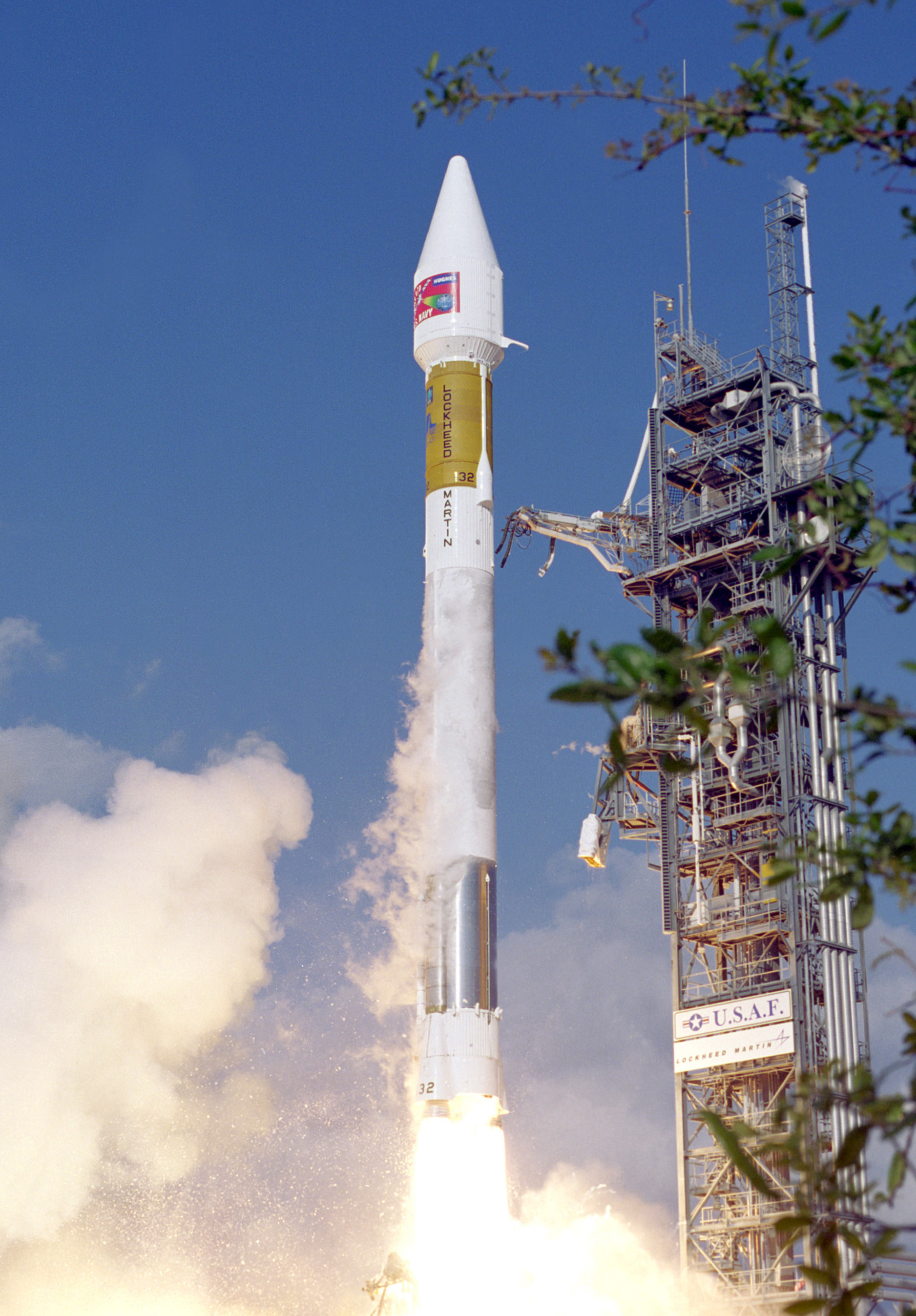
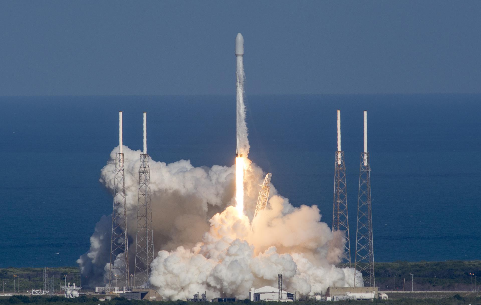
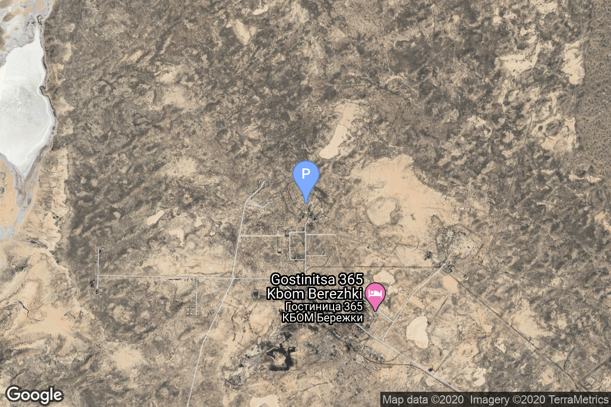
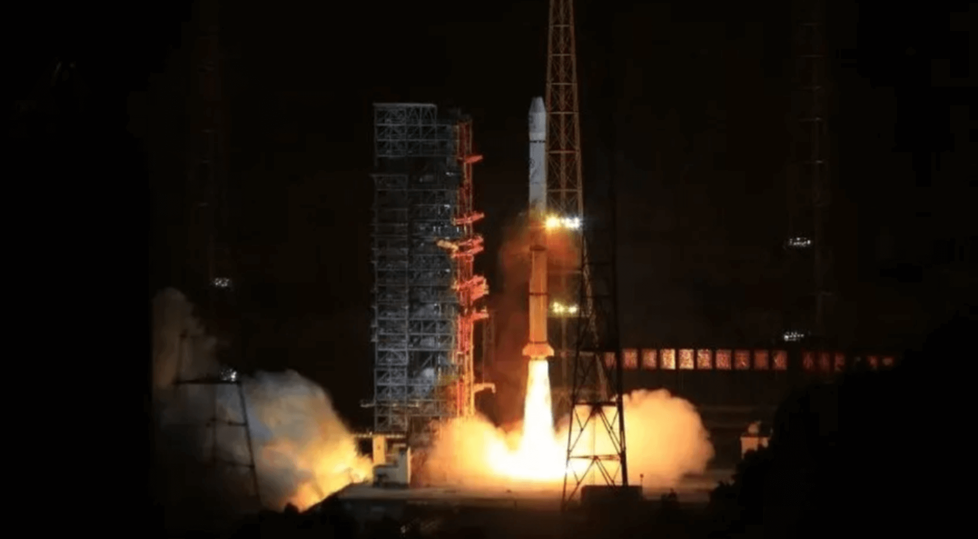
{ "count": 7783, "next": "https://ll.thespacedevs.com/2.0.0/launch/?format=api&limit=10&offset=6980&ordering=id", "previous": "https://ll.thespacedevs.com/2.0.0/launch/?format=api&limit=10&offset=6960&ordering=id", "results": [ { "id": "e43539f0-90e5-4d39-91ac-3db3593284d2", "url": "https://ll.thespacedevs.com/2.0.0/launch/e43539f0-90e5-4d39-91ac-3db3593284d2/?format=api", "launch_library_id": null, "slug": "kosmos-3m-parus-22", "name": "Kosmos-3M | Parus 22", "status": { "id": 3, "name": "Success" }, "net": "1980-01-14T19:49:00Z", "window_end": "1980-01-14T19:49:00Z", "window_start": "1980-01-14T19:49:00Z", "inhold": false, "tbdtime": false, "tbddate": false, "probability": null, "holdreason": "", "failreason": null, "hashtag": null, "launch_service_provider": { "id": 66, "url": "https://ll.thespacedevs.com/2.0.0/agencies/66/?format=api", "name": "Soviet Space Program", "type": "Government" }, "rocket": { "id": 5139, "configuration": { "id": 102, "launch_library_id": 122, "url": "https://ll.thespacedevs.com/2.0.0/config/launcher/102/?format=api", "name": "Kosmos-3M", "family": "Kosmos", "full_name": "Kosmos-3M (11K65M)", "variant": "-3M" } }, "mission": { "id": 3550, "launch_library_id": null, "name": "Parus 22", "description": "Navigation satellite providing location information for the Tsiklon-B navigation system", "launch_designator": null, "type": "Navigation", "orbit": { "id": 8, "name": "Low Earth Orbit", "abbrev": "LEO" } }, "pad": { "id": 167, "url": "https://ll.thespacedevs.com/2.0.0/pad/167/?format=api", "agency_id": null, "name": "132/2", "info_url": null, "wiki_url": "https://en.wikipedia.org/wiki/Plesetsk_Cosmodrome", "map_url": "https://www.google.com/maps?q=62.883,40.869806", "latitude": "62.883", "longitude": "40.869806", "location": { "id": 6, "url": "https://ll.thespacedevs.com/2.0.0/location/6/?format=api", "name": "Plesetsk Cosmodrome, Russian Federation", "country_code": "RUS", "map_image": "https://thespacedevs-prod.nyc3.digitaloceanspaces.com/media/map_images/location_6_20200803142434.jpg", "total_launch_count": 1680, "total_landing_count": 0 }, "map_image": "https://thespacedevs-prod.nyc3.digitaloceanspaces.com/media/map_images/pad_167_20200803143417.jpg", "total_launch_count": 172 }, "webcast_live": false, "image": "https://thespacedevs-prod.nyc3.digitaloceanspaces.com/media/images/kosmos-3m_durin_image_20251101171325.jpg", "infographic": null, "program": [] }, { "id": "e43f3d40-daa4-4253-b768-723ee652182f", "url": "https://ll.thespacedevs.com/2.0.0/launch/e43f3d40-daa4-4253-b768-723ee652182f/?format=api", "launch_library_id": null, "slug": "atlas-iia-uhf-fo-f9", "name": "Atlas IIA | UHF F/O F9", "status": { "id": 3, "name": "Success" }, "net": "1998-10-20T07:19:02Z", "window_end": "1998-10-20T07:19:02Z", "window_start": "1998-10-20T07:19:02Z", "inhold": false, "tbdtime": false, "tbddate": false, "probability": null, "holdreason": "", "failreason": null, "hashtag": null, "launch_service_provider": { "id": 82, "url": "https://ll.thespacedevs.com/2.0.0/agencies/82/?format=api", "name": "Lockheed Martin", "type": "Commercial" }, "rocket": { "id": 6883, "configuration": { "id": 254, "launch_library_id": null, "url": "https://ll.thespacedevs.com/2.0.0/config/launcher/254/?format=api", "name": "Atlas IIA", "family": "Atlas", "full_name": "Atlas IIA", "variant": "IIA" } }, "mission": { "id": 5273, "launch_library_id": null, "name": "UHF F/O F9", "description": "The U.S. Navy began replacing and upgrading its ultra-high frequency (UHF) satellite communications network during the 1990s with a constellation of customized satellites built by Hughes Space and Communications Company. Known as the UFO (Ultra High Frequency Follow On) series, these HS-601 model satellites support the Navy's global communications network, serving ships at sea and a variety of other U.S. military fixed and mobile terminals.", "launch_designator": null, "type": "Communications", "orbit": { "id": 1, "name": "Geostationary Orbit", "abbrev": "Direct-GEO" } }, "pad": { "id": 121, "url": "https://ll.thespacedevs.com/2.0.0/pad/121/?format=api", "agency_id": 161, "name": "Launch Complex 36A", "info_url": null, "wiki_url": "https://en.wikipedia.org/wiki/Cape_Canaveral_Launch_Complex_36", "map_url": "https://www.google.com/maps?q=28.4705556,-80.542194", "latitude": "28.4705556", "longitude": "-80.542194", "location": { "id": 12, "url": "https://ll.thespacedevs.com/2.0.0/location/12/?format=api", "name": "Cape Canaveral SFS, FL, USA", "country_code": "USA", "map_image": "https://thespacedevs-prod.nyc3.digitaloceanspaces.com/media/map_images/location_12_20200803142519.jpg", "total_launch_count": 1083, "total_landing_count": 70 }, "map_image": "https://thespacedevs-prod.nyc3.digitaloceanspaces.com/media/map_images/pad_121_20200803143231.jpg", "total_launch_count": 70 }, "webcast_live": false, "image": "https://thespacedevs-prod.nyc3.digitaloceanspaces.com/media/images/launch_of_an_at_image_20251123092831.jpg", "infographic": null, "program": [] }, { "id": "e443b805-1d5c-4491-b053-e03cd588611e", "url": "https://ll.thespacedevs.com/2.0.0/launch/e443b805-1d5c-4491-b053-e03cd588611e/?format=api", "launch_library_id": 1290, "slug": "falcon-9-full-thrust-paz-microsat-2a-microsat-2b", "name": "Falcon 9 Full Thrust | PAZ & Microsat-2a, Microsat-2b", "status": { "id": 3, "name": "Success" }, "net": "2018-02-22T14:17:00Z", "window_end": "2018-02-22T14:17:00Z", "window_start": "2018-02-22T14:17:00Z", "inhold": false, "tbdtime": false, "tbddate": false, "probability": 90, "holdreason": "", "failreason": "", "hashtag": null, "launch_service_provider": { "id": 121, "url": "https://ll.thespacedevs.com/2.0.0/agencies/121/?format=api", "name": "SpaceX", "type": "Commercial" }, "rocket": { "id": 2079, "configuration": { "id": 55, "launch_library_id": 80, "url": "https://ll.thespacedevs.com/2.0.0/config/launcher/55/?format=api", "name": "Falcon 9", "family": "Falcon", "full_name": "Falcon 9 Full Thrust", "variant": "Full Thrust" } }, "mission": { "id": 302, "launch_library_id": 634, "name": "PAZ & Microsat-2a, Microsat-2b", "description": "PAZ is a military Earth radar observation satellite, designed and built by Airbus Defence and Space for Spain. The satellite is owned and operated by Hisdesat. The PAZ satellite is equipped with an advanced radar instrument designed for high flexibility, and the capability to operate in numerous modes allowing for the choice of several different image configurations. It will be able to generate images with up to 25 cm resolution. Designed for a mission of five and a half years, PAZ will orbit Earth 15 times per day, covering an area of over 300,000 square kilometres. On its slightly inclined quasi-polar orbit, PAZ will cover the entire globe in 24 hours, serving both government and commercial needs. Satellite is sharing the ride with two small SpaceX satellites. These will test the technologies for the planned satellite network called Starlink, which will consist of roughly 4000 satellites providing space-based Internet around the globe.", "launch_designator": null, "type": "Government/Top Secret", "orbit": { "id": 17, "name": "Sun-Synchronous Orbit", "abbrev": "SSO" } }, "pad": { "id": 16, "url": "https://ll.thespacedevs.com/2.0.0/pad/16/?format=api", "agency_id": null, "name": "Space Launch Complex 4E", "info_url": null, "wiki_url": "https://en.wikipedia.org/wiki/Vandenberg_Space_Launch_Complex_4#SLC-4E", "map_url": "https://www.google.com/maps?q=34.632,-120.611", "latitude": "34.632", "longitude": "-120.611", "location": { "id": 11, "url": "https://ll.thespacedevs.com/2.0.0/location/11/?format=api", "name": "Vandenberg SFB, CA, USA", "country_code": "USA", "map_image": "https://thespacedevs-prod.nyc3.digitaloceanspaces.com/media/map_images/location_11_20200803142416.jpg", "total_launch_count": 858, "total_landing_count": 33 }, "map_image": "https://thespacedevs-prod.nyc3.digitaloceanspaces.com/media/map_images/pad_16_20200803143532.jpg", "total_launch_count": 244 }, "webcast_live": false, "image": "https://thespacedevs-prod.nyc3.digitaloceanspaces.com/media/images/falcon252092520full2520thrust_image_20190222031117.jpeg", "infographic": null, "program": [ { "id": 25, "url": "https://ll.thespacedevs.com/2.0.0/program/25/?format=api", "name": "Starlink", "description": "Starlink is a satellite internet constellation operated by American aerospace company SpaceX", "agencies": [ { "id": 121, "url": "https://ll.thespacedevs.com/2.0.0/agencies/121/?format=api", "name": "SpaceX", "type": "Commercial" } ], "image_url": "https://thespacedevs-prod.nyc3.digitaloceanspaces.com/media/images/starlink_program_20231228154508.jpeg", "start_date": "2018-02-22T14:17:00Z", "end_date": null, "info_url": "https://starlink.com", "wiki_url": "https://en.wikipedia.org/wiki/Starlink" } ] }, { "id": "e445dc75-e7dc-4d22-8c5f-329d6114061d", "url": "https://ll.thespacedevs.com/2.0.0/launch/e445dc75-e7dc-4d22-8c5f-329d6114061d/?format=api", "launch_library_id": null, "slug": "voskhod-zenit-4-52", "name": "Voskhod | Zenit-4 52", "status": { "id": 3, "name": "Success" }, "net": "1969-03-06T12:15:01Z", "window_end": "1969-03-06T12:15:01Z", "window_start": "1969-03-06T12:15:01Z", "inhold": false, "tbdtime": false, "tbddate": false, "probability": null, "holdreason": "", "failreason": null, "hashtag": null, "launch_service_provider": { "id": 66, "url": "https://ll.thespacedevs.com/2.0.0/agencies/66/?format=api", "name": "Soviet Space Program", "type": "Government" }, "rocket": { "id": 3882, "configuration": { "id": 104, "launch_library_id": 138, "url": "https://ll.thespacedevs.com/2.0.0/config/launcher/104/?format=api", "name": "Voskhod", "family": "R-7", "full_name": "Voskhod", "variant": "Voskhod" } }, "mission": { "id": 2300, "launch_library_id": null, "name": "Zenit-4 52", "description": "Zenit-4 film-return reconnaissance satellite.", "launch_designator": null, "type": "Government/Top Secret", "orbit": { "id": 8, "name": "Low Earth Orbit", "abbrev": "LEO" } }, "pad": { "id": 168, "url": "https://ll.thespacedevs.com/2.0.0/pad/168/?format=api", "agency_id": null, "name": "41/1", "info_url": null, "wiki_url": "https://en.wikipedia.org/wiki/Plesetsk_Cosmodrome", "map_url": "https://www.google.com/maps?q=62.941,40.526806", "latitude": "62.941", "longitude": "40.526806", "location": { "id": 6, "url": "https://ll.thespacedevs.com/2.0.0/location/6/?format=api", "name": "Plesetsk Cosmodrome, Russian Federation", "country_code": "RUS", "map_image": "https://thespacedevs-prod.nyc3.digitaloceanspaces.com/media/map_images/location_6_20200803142434.jpg", "total_launch_count": 1680, "total_landing_count": 0 }, "map_image": "https://thespacedevs-prod.nyc3.digitaloceanspaces.com/media/map_images/pad_168_20200803143446.jpg", "total_launch_count": 310 }, "webcast_live": false, "image": "https://thespacedevs-prod.nyc3.digitaloceanspaces.com/media/images/voskhod_during__image_20251102062248.jpg", "infographic": null, "program": [] }, { "id": "e44e30a8-a349-441d-a21e-0bbcb8ce5559", "url": "https://ll.thespacedevs.com/2.0.0/launch/e44e30a8-a349-441d-a21e-0bbcb8ce5559/?format=api", "launch_library_id": null, "slug": "tsiklon-2-us-pm-9", "name": "Tsiklon-2 | US-PM 9", "status": { "id": 3, "name": "Success" }, "net": "1997-12-09T07:17:20Z", "window_end": "1997-12-09T07:17:20Z", "window_start": "1997-12-09T07:17:20Z", "inhold": false, "tbdtime": false, "tbddate": false, "probability": null, "holdreason": "", "failreason": null, "hashtag": null, "launch_service_provider": { "id": 63, "url": "https://ll.thespacedevs.com/2.0.0/agencies/63/?format=api", "name": "Russian Federal Space Agency (ROSCOSMOS)", "type": "Government" }, "rocket": { "id": 6826, "configuration": { "id": 443, "launch_library_id": null, "url": "https://ll.thespacedevs.com/2.0.0/config/launcher/443/?format=api", "name": "Tsiklon-2", "family": "Tsiklon", "full_name": "Tsiklon-2", "variant": "2" } }, "mission": { "id": 5216, "launch_library_id": null, "name": "US-PM 9", "description": "US-PM (Upravlenniye Sputnik Passivny Modifikirovanny) (also reported as US-PU) was a solar powered improved EORSAT (Electronic Ocean Reconnaissance Satellite). It used an passive ELINT devices to track naval vessels from space by registering their electronic emmissions.", "launch_designator": null, "type": "Government/Top Secret", "orbit": { "id": 8, "name": "Low Earth Orbit", "abbrev": "LEO" } }, "pad": { "id": 133, "url": "https://ll.thespacedevs.com/2.0.0/pad/133/?format=api", "agency_id": null, "name": "90/19", "info_url": null, "wiki_url": "https://en.wikipedia.org/wiki/Baikonur_Cosmodrome_Site_90", "map_url": "https://www.google.com/maps?q=46.081,62.929806", "latitude": "46.081", "longitude": "62.929806", "location": { "id": 15, "url": "https://ll.thespacedevs.com/2.0.0/location/15/?format=api", "name": "Baikonur Cosmodrome, Republic of Kazakhstan", "country_code": "KAZ", "map_image": "https://thespacedevs-prod.nyc3.digitaloceanspaces.com/media/map_images/location_15_20200803142517.jpg", "total_launch_count": 1559, "total_landing_count": 0 }, "map_image": "https://thespacedevs-prod.nyc3.digitaloceanspaces.com/media/map_images/pad_133_20200803143315.jpg", "total_launch_count": 16 }, "webcast_live": false, "image": "https://thespacedevs-prod.nyc3.digitaloceanspaces.com/media/images/tsyklon-2_lifto_image_20240411113159.jpg", "infographic": null, "program": [] }, { "id": "e4578caa-8fd3-4263-aa20-c03457320fd7", "url": "https://ll.thespacedevs.com/2.0.0/launch/e4578caa-8fd3-4263-aa20-c03457320fd7/?format=api", "launch_library_id": null, "slug": "titan-402a-ius-dsp-17", "name": "Titan 402A IUS | DSP 17", "status": { "id": 3, "name": "Success" }, "net": "1994-12-22T22:19:02Z", "window_end": "1994-12-22T22:19:02Z", "window_start": "1994-12-22T22:19:02Z", "inhold": false, "tbdtime": false, "tbddate": false, "probability": null, "holdreason": "", "failreason": null, "hashtag": null, "launch_service_provider": { "id": 161, "url": "https://ll.thespacedevs.com/2.0.0/agencies/161/?format=api", "name": "United States Air Force", "type": "Government" }, "rocket": { "id": 6635, "configuration": { "id": 428, "launch_library_id": null, "url": "https://ll.thespacedevs.com/2.0.0/config/launcher/428/?format=api", "name": "Titan 402A IUS", "family": "Titan", "full_name": "Titan 402A IUS", "variant": "402A IUS" } }, "mission": { "id": 5025, "launch_library_id": null, "name": "DSP 17", "description": "Early warning satellite", "launch_designator": null, "type": "Government/Top Secret", "orbit": { "id": 1, "name": "Geostationary Orbit", "abbrev": "Direct-GEO" } }, "pad": { "id": 80, "url": "https://ll.thespacedevs.com/2.0.0/pad/80/?format=api", "agency_id": 121, "name": "Space Launch Complex 40", "info_url": null, "wiki_url": "https://en.wikipedia.org/wiki/Cape_Canaveral_Air_Force_Station_Space_Launch_Complex_40", "map_url": "https://www.google.com/maps?q=28.56194122,-80.57735736", "latitude": "28.56194122", "longitude": "-80.57735736", "location": { "id": 12, "url": "https://ll.thespacedevs.com/2.0.0/location/12/?format=api", "name": "Cape Canaveral SFS, FL, USA", "country_code": "USA", "map_image": "https://thespacedevs-prod.nyc3.digitaloceanspaces.com/media/map_images/location_12_20200803142519.jpg", "total_launch_count": 1083, "total_landing_count": 70 }, "map_image": "https://thespacedevs-prod.nyc3.digitaloceanspaces.com/media/map_images/pad_80_20200803143323.jpg", "total_launch_count": 361 }, "webcast_live": false, "image": "https://thespacedevs-prod.nyc3.digitaloceanspaces.com/media/images/titan-402a_ius__image_20251113174426.png", "infographic": null, "program": [] }, { "id": "e45db5b1-cc5e-4ed7-9694-4eaa71520652", "url": "https://ll.thespacedevs.com/2.0.0/launch/e45db5b1-cc5e-4ed7-9694-4eaa71520652/?format=api", "launch_library_id": 1820, "slug": "soyuz-u-progress-m-67", "name": "Soyuz U | Progress M-67", "status": { "id": 3, "name": "Success" }, "net": "2009-07-24T10:56:56Z", "window_end": "2009-07-24T10:56:56Z", "window_start": "2009-07-24T10:56:56Z", "inhold": false, "tbdtime": false, "tbddate": false, "probability": 0, "holdreason": "", "failreason": "", "hashtag": "", "launch_service_provider": { "id": 63, "url": "https://ll.thespacedevs.com/2.0.0/agencies/63/?format=api", "name": "Russian Federal Space Agency (ROSCOSMOS)", "type": "Government" }, "rocket": { "id": 2352, "configuration": { "id": 37, "launch_library_id": 35, "url": "https://ll.thespacedevs.com/2.0.0/config/launcher/37/?format=api", "name": "Soyuz U", "family": "Soyuz", "full_name": "Soyuz U", "variant": "" } }, "mission": null, "pad": { "id": 32, "url": "https://ll.thespacedevs.com/2.0.0/pad/32/?format=api", "agency_id": null, "name": "1/5", "info_url": null, "wiki_url": "", "map_url": "https://www.google.com/maps?q=45.92,63.342", "latitude": "45.92", "longitude": "63.342", "location": { "id": 15, "url": "https://ll.thespacedevs.com/2.0.0/location/15/?format=api", "name": "Baikonur Cosmodrome, Republic of Kazakhstan", "country_code": "KAZ", "map_image": "https://thespacedevs-prod.nyc3.digitaloceanspaces.com/media/map_images/location_15_20200803142517.jpg", "total_launch_count": 1559, "total_landing_count": 0 }, "map_image": "https://thespacedevs-prod.nyc3.digitaloceanspaces.com/media/map_images/pad_32_20200803143513.jpg", "total_launch_count": 487 }, "webcast_live": false, "image": "https://thespacedevs-prod.nyc3.digitaloceanspaces.com/media/images/soyuz2520u_image_20190222031023.jpeg", "infographic": null, "program": [ { "id": 17, "url": "https://ll.thespacedevs.com/2.0.0/program/17/?format=api", "name": "International Space Station", "description": "The International Space Station programme is tied together by a complex set of legal, political and financial agreements between the sixteen nations involved in the project, governing ownership of the various components, rights to crewing and utilization, and responsibilities for crew rotation and resupply of the International Space Station. It was conceived in 1984 by President Ronald Reagan, during the Space Station Freedom project as it was originally called.", "agencies": [ { "id": 16, "url": "https://ll.thespacedevs.com/2.0.0/agencies/16/?format=api", "name": "Canadian Space Agency", "type": "Government" }, { "id": 27, "url": "https://ll.thespacedevs.com/2.0.0/agencies/27/?format=api", "name": "European Space Agency", "type": "Multinational" }, { "id": 37, "url": "https://ll.thespacedevs.com/2.0.0/agencies/37/?format=api", "name": "Japan Aerospace Exploration Agency", "type": "Government" }, { "id": 44, "url": "https://ll.thespacedevs.com/2.0.0/agencies/44/?format=api", "name": "National Aeronautics and Space Administration", "type": "Government" }, { "id": 63, "url": "https://ll.thespacedevs.com/2.0.0/agencies/63/?format=api", "name": "Russian Federal Space Agency (ROSCOSMOS)", "type": "Government" } ], "image_url": "https://thespacedevs-prod.nyc3.digitaloceanspaces.com/media/images/international2_program_20201129184745.png", "start_date": "1998-11-20T06:40:00Z", "end_date": null, "info_url": "https://www.nasa.gov/mission_pages/station/main/index.html", "wiki_url": "https://en.wikipedia.org/wiki/International_Space_Station_programme" } ] }, { "id": "e4661171-ad81-43fb-98ae-e14e109428bb", "url": "https://ll.thespacedevs.com/2.0.0/launch/e4661171-ad81-43fb-98ae-e14e109428bb/?format=api", "launch_library_id": null, "slug": "thor-delta-b-relay-1", "name": "Thor Delta B | Relay 1", "status": { "id": 3, "name": "Success" }, "net": "1962-12-13T23:30:01Z", "window_end": "1962-12-13T23:30:01Z", "window_start": "1962-12-13T23:30:01Z", "inhold": false, "tbdtime": false, "tbddate": false, "probability": null, "holdreason": "", "failreason": null, "hashtag": null, "launch_service_provider": { "id": 161, "url": "https://ll.thespacedevs.com/2.0.0/agencies/161/?format=api", "name": "United States Air Force", "type": "Government" }, "rocket": { "id": 3175, "configuration": { "id": 400, "launch_library_id": null, "url": "https://ll.thespacedevs.com/2.0.0/config/launcher/400/?format=api", "name": "Thor Delta B", "family": "Thor", "full_name": "Thor Delta B", "variant": "Delta B" } }, "mission": { "id": 1597, "launch_library_id": null, "name": "Relay 1", "description": "Relay 1 was principally a communications satellite. Included in its payload were radiation experiments designed to map the earth's radiation belts.", "launch_designator": null, "type": "Communications", "orbit": { "id": 0, "name": "Elliptical Orbit", "abbrev": "Elliptical" } }, "pad": { "id": 14, "url": "https://ll.thespacedevs.com/2.0.0/pad/14/?format=api", "agency_id": null, "name": "Space Launch Complex 17A", "info_url": null, "wiki_url": "https://en.wikipedia.org/wiki/Cape_Canaveral_Space_Launch_Complex_17", "map_url": "https://www.google.com/maps?q=28.4472,-80.565", "latitude": "28.4472", "longitude": "-80.565", "location": { "id": 12, "url": "https://ll.thespacedevs.com/2.0.0/location/12/?format=api", "name": "Cape Canaveral SFS, FL, USA", "country_code": "USA", "map_image": "https://thespacedevs-prod.nyc3.digitaloceanspaces.com/media/map_images/location_12_20200803142519.jpg", "total_launch_count": 1083, "total_landing_count": 70 }, "map_image": "https://thespacedevs-prod.nyc3.digitaloceanspaces.com/media/map_images/pad_14_20200803143451.jpg", "total_launch_count": 145 }, "webcast_live": false, "image": null, "infographic": null, "program": [] }, { "id": "e478ca17-343d-4e85-b385-cbe4570a7904", "url": "https://ll.thespacedevs.com/2.0.0/launch/e478ca17-343d-4e85-b385-cbe4570a7904/?format=api", "launch_library_id": null, "slug": "long-march-3a-beidou-dw-1", "name": "Long March 3A | Beidou DW 1", "status": { "id": 3, "name": "Success" }, "net": "2007-04-13T20:11:00Z", "window_end": "2007-04-13T20:11:00Z", "window_start": "2007-04-13T20:11:00Z", "inhold": false, "tbdtime": false, "tbddate": false, "probability": null, "holdreason": "", "failreason": null, "hashtag": null, "launch_service_provider": { "id": 88, "url": "https://ll.thespacedevs.com/2.0.0/agencies/88/?format=api", "name": "China Aerospace Science and Technology Corporation", "type": "Government" }, "rocket": { "id": 7309, "configuration": { "id": 71, "launch_library_id": 88, "url": "https://ll.thespacedevs.com/2.0.0/config/launcher/71/?format=api", "name": "Long March 3A", "family": "Long March", "full_name": "Long March 3A", "variant": "A" } }, "mission": { "id": 5698, "launch_library_id": null, "name": "Beidou DW 1", "description": "Satellite for the second phase of the Chinese Beidou navigation system", "launch_designator": null, "type": "Navigation", "orbit": { "id": 12, "name": "Medium Earth Orbit", "abbrev": "MEO" } }, "pad": { "id": 66, "url": "https://ll.thespacedevs.com/2.0.0/pad/66/?format=api", "agency_id": 17, "name": "Launch Complex 3 (LC-3/LA-1)", "info_url": null, "wiki_url": "https://en.wikipedia.org/wiki/Xichang_Satellite_Launch_Center", "map_url": "https://www.google.com/maps?q=28.247209,102.02917", "latitude": "28.247209", "longitude": "102.02917", "location": { "id": 16, "url": "https://ll.thespacedevs.com/2.0.0/location/16/?format=api", "name": "Xichang Satellite Launch Center, People's Republic of China", "country_code": "CHN", "map_image": "https://thespacedevs-prod.nyc3.digitaloceanspaces.com/media/map_images/location_16_20200803142513.jpg", "total_launch_count": 237, "total_landing_count": 0 }, "map_image": "https://thespacedevs-prod.nyc3.digitaloceanspaces.com/media/map_images/pad_66_20200803143611.jpg", "total_launch_count": 105 }, "webcast_live": false, "image": "https://thespacedevs-prod.nyc3.digitaloceanspaces.com/media/images/long2520march25203a_image_20190222031143.png", "infographic": null, "program": [ { "id": 35, "url": "https://ll.thespacedevs.com/2.0.0/program/35/?format=api", "name": "BeiDou", "description": "The BeiDou Navigation Satellite System is a satellite-based radio navigation system owned and operated by the China National Space Administration.[4] It is one of the global navigation satellite systems that provide geolocation and time information to a BDS receiver anywhere on or near the Earth where there is an unobstructed line of sight to four or more BDS satellites.", "agencies": [ { "id": 17, "url": "https://ll.thespacedevs.com/2.0.0/agencies/17/?format=api", "name": "China National Space Administration", "type": "Government" } ], "image_url": "https://thespacedevs-prod.nyc3.digitaloceanspaces.com/media/images/beidou_program_20240102170615.png", "start_date": "2000-10-31T00:00:00Z", "end_date": null, "info_url": "http://en.beidou.gov.cn/", "wiki_url": "https://en.wikipedia.org/wiki/BeiDou" } ] }, { "id": "e47a6964-3a0c-4716-ace2-6262499aa439", "url": "https://ll.thespacedevs.com/2.0.0/launch/e47a6964-3a0c-4716-ace2-6262499aa439/?format=api", "launch_library_id": null, "slug": "vostok-8a92m-meteor-2-6", "name": "Vostok 8A92M | Meteor-2 6", "status": { "id": 3, "name": "Success" }, "net": "1980-09-09T11:00:00Z", "window_end": "1980-09-09T11:00:00Z", "window_start": "1980-09-09T11:00:00Z", "inhold": false, "tbdtime": false, "tbddate": false, "probability": null, "holdreason": "", "failreason": null, "hashtag": null, "launch_service_provider": { "id": 66, "url": "https://ll.thespacedevs.com/2.0.0/agencies/66/?format=api", "name": "Soviet Space Program", "type": "Government" }, "rocket": { "id": 5204, "configuration": { "id": 452, "launch_library_id": null, "url": "https://ll.thespacedevs.com/2.0.0/config/launcher/452/?format=api", "name": "Vostok 8A92M", "family": "Vostok", "full_name": "Vostok 8A92M", "variant": "8A92M" } }, "mission": { "id": 3614, "launch_library_id": null, "name": "Meteor-2 6", "description": "Second generation soviet meteorological satellite", "launch_designator": null, "type": "Earth Science", "orbit": { "id": 8, "name": "Low Earth Orbit", "abbrev": "LEO" } }, "pad": { "id": 36, "url": "https://ll.thespacedevs.com/2.0.0/pad/36/?format=api", "agency_id": 163, "name": "43/3 (43L)", "info_url": null, "wiki_url": null, "map_url": "https://www.google.com/maps?q=62.9273,40.45", "latitude": "62.9273", "longitude": "40.45", "location": { "id": 6, "url": "https://ll.thespacedevs.com/2.0.0/location/6/?format=api", "name": "Plesetsk Cosmodrome, Russian Federation", "country_code": "RUS", "map_image": "https://thespacedevs-prod.nyc3.digitaloceanspaces.com/media/map_images/location_6_20200803142434.jpg", "total_launch_count": 1680, "total_landing_count": 0 }, "map_image": "https://thespacedevs-prod.nyc3.digitaloceanspaces.com/media/map_images/pad_36_20200803143534.jpg", "total_launch_count": 231 }, "webcast_live": false, "image": "https://thespacedevs-prod.nyc3.digitaloceanspaces.com/media/images/the_full-scale__image_20251127090310.jpg", "infographic": null, "program": [] } ] }