Launch List
API endpoint that returns all Launch objects or a single launch.
EXAMPLE - /launch/
GET: Return a list of all Launch objects.
FILTERS: Fields - 'name', 'id(s)', 'lsp_id', 'lsp_name', 'serial_number', 'launcher_config__id', 'rocket__spacecraftflight__spacecraft__name'
MODE: 'normal', 'list', 'detailed' EXAMPLE: ?mode=list
SEARCH: Searches through the launch name, rocket name, launch agency, mission name & spacecraft name. EXAMPLE - ?search=SpaceX
GET /2.0.0/launch/?format=api&offset=6950&ordering=-id
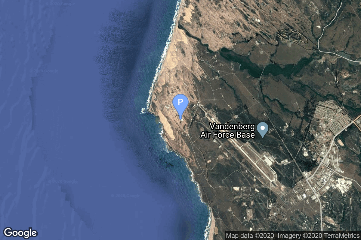
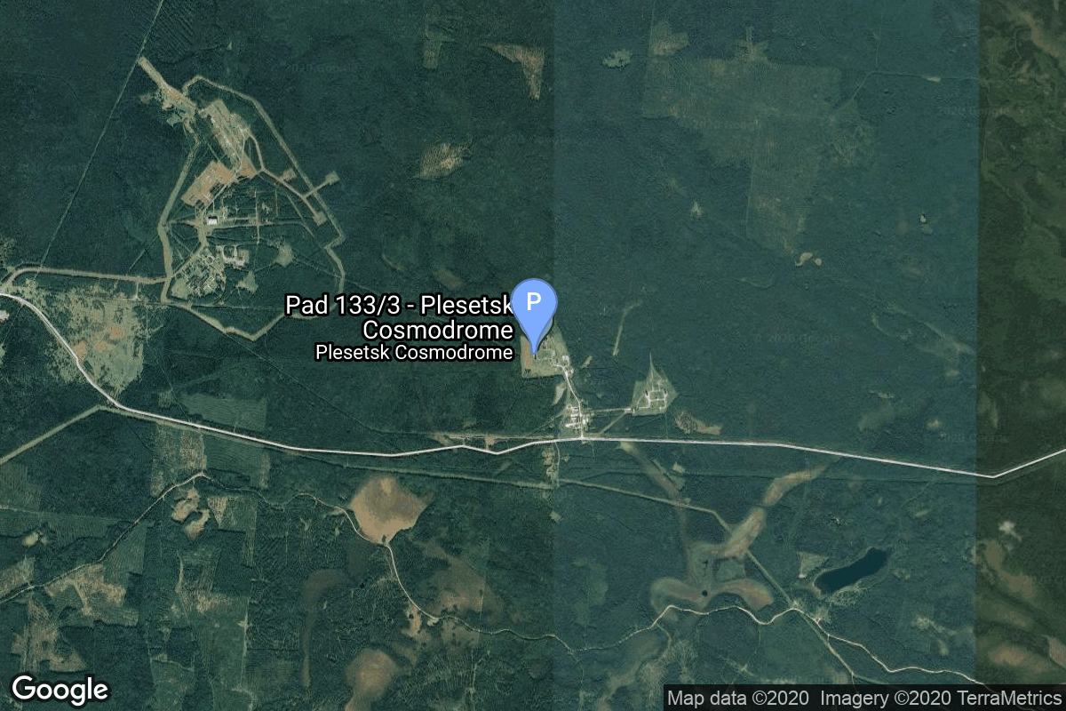
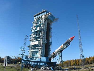
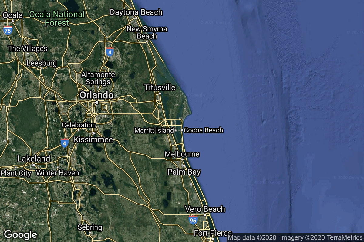
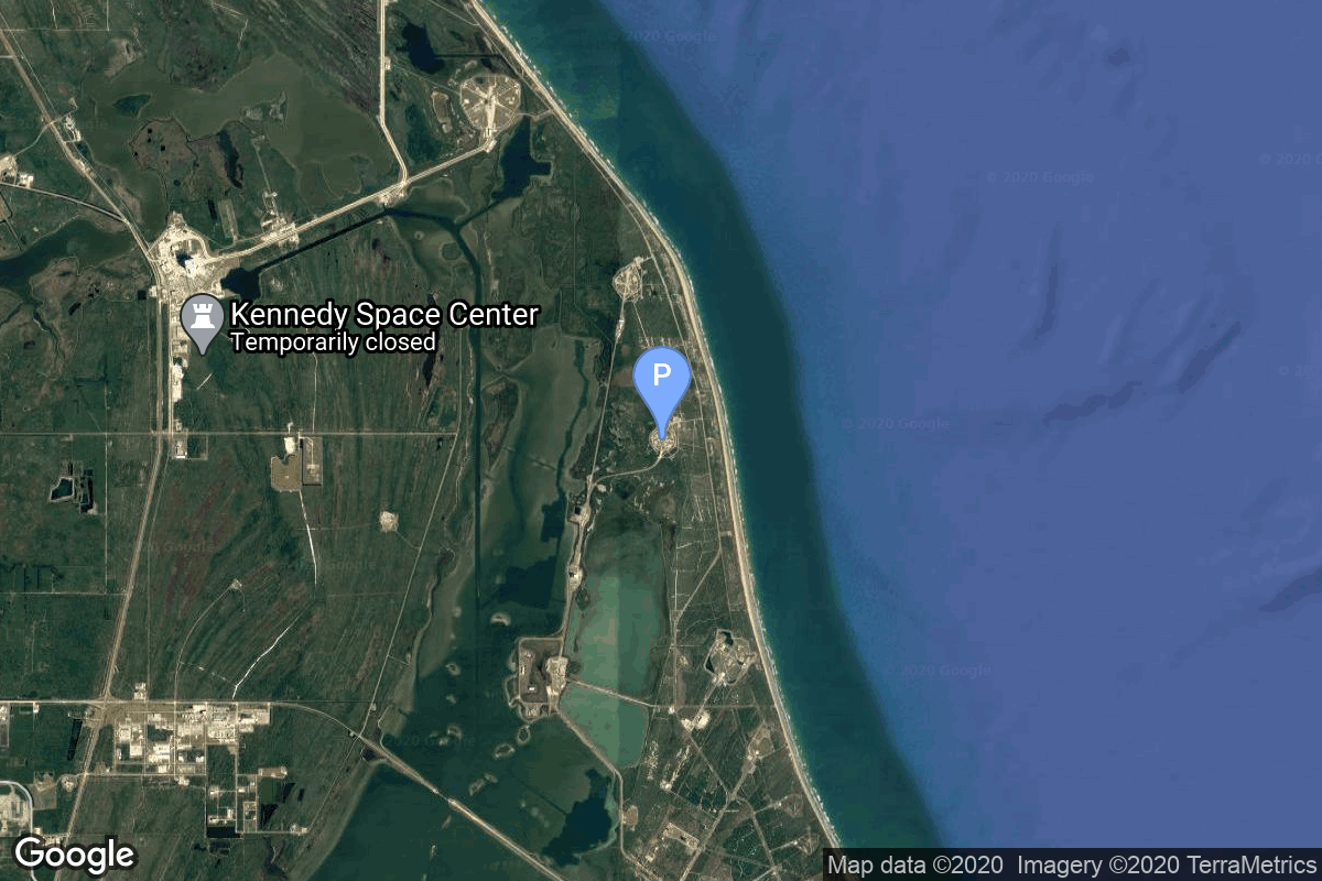
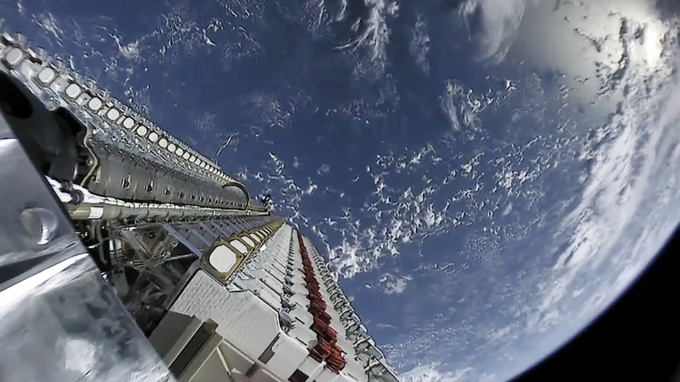
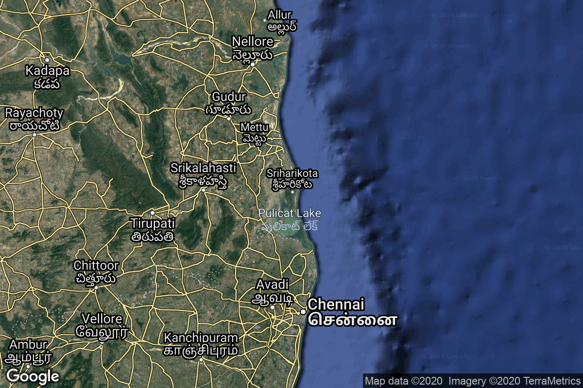
{ "count": 8134, "next": "https://ll.thespacedevs.com/2.0.0/launch/?format=api&limit=10&offset=6960&ordering=-id", "previous": "https://ll.thespacedevs.com/2.0.0/launch/?format=api&limit=10&offset=6940&ordering=-id", "results": [ { "id": "26a14093-bf34-4075-a5f5-fa832dc15824", "url": "https://ll.thespacedevs.com/2.0.0/launch/26a14093-bf34-4075-a5f5-fa832dc15824/?format=api", "launch_library_id": null, "slug": "thor-slv-2-agena-b-nimbus-1", "name": "Thor SLV-2 Agena B | Nimbus 1", "status": { "id": 3, "name": "Success" }, "net": "1964-08-28T07:56:57Z", "window_end": "1964-08-28T07:56:57Z", "window_start": "1964-08-28T07:56:57Z", "inhold": false, "tbdtime": false, "tbddate": false, "probability": null, "holdreason": "", "failreason": null, "hashtag": null, "launch_service_provider": { "id": 161, "url": "https://ll.thespacedevs.com/2.0.0/agencies/161/?format=api", "name": "United States Air Force", "type": "Government" }, "rocket": { "id": 3311, "configuration": { "id": 414, "launch_library_id": null, "url": "https://ll.thespacedevs.com/2.0.0/config/launcher/414/?format=api", "name": "Thor SLV-2 Agena B", "family": "Thor", "full_name": "Thor SLV-2 Agena B", "variant": "SLV-2 Agena B" } }, "mission": { "id": 1733, "launch_library_id": null, "name": "Nimbus 1", "description": "Nimbus 1, the first in a series of second-generation meteorological research-and-development satellites, was designed to serve as a stabilized, earth-oriented platform for the testing of advanced meteorological sensor systems and for collecting meteorological data.", "launch_designator": null, "type": "Earth Science", "orbit": { "id": 13, "name": "Polar Orbit", "abbrev": "PO" } }, "pad": { "id": 98, "url": "https://ll.thespacedevs.com/2.0.0/pad/98/?format=api", "agency_id": 161, "name": "Space Launch Complex 2E", "info_url": null, "wiki_url": "https://en.wikipedia.org/wiki/Vandenberg_Space_Launch_Complex_2", "map_url": "https://www.google.com/maps?q=34.7516,-120.6192", "latitude": "34.7516", "longitude": "-120.6192", "location": { "id": 11, "url": "https://ll.thespacedevs.com/2.0.0/location/11/?format=api", "name": "Vandenberg SFB, CA, USA", "country_code": "USA", "map_image": "https://thespacedevs-prod.nyc3.digitaloceanspaces.com/media/map_images/location_11_20200803142416.jpg", "total_launch_count": 923, "total_landing_count": 37 }, "map_image": "https://thespacedevs-prod.nyc3.digitaloceanspaces.com/media/map_images/pad_98_20200803143228.jpg", "total_launch_count": 47 }, "webcast_live": false, "image": null, "infographic": null, "program": [] }, { "id": "269b3536-e54b-481d-8870-b7695b9cac94", "url": "https://ll.thespacedevs.com/2.0.0/launch/269b3536-e54b-481d-8870-b7695b9cac94/?format=api", "launch_library_id": null, "slug": "kosmos-3m-nadezhda-6", "name": "Kosmos-3M | Nadezhda 6", "status": { "id": 3, "name": "Success" }, "net": "1991-03-12T19:29:04Z", "window_end": "1991-03-12T19:29:04Z", "window_start": "1991-03-12T19:29:04Z", "inhold": false, "tbdtime": false, "tbddate": false, "probability": null, "holdreason": "", "failreason": null, "hashtag": null, "launch_service_provider": { "id": 66, "url": "https://ll.thespacedevs.com/2.0.0/agencies/66/?format=api", "name": "Soviet Space Program", "type": "Government" }, "rocket": { "id": 6356, "configuration": { "id": 102, "launch_library_id": 122, "url": "https://ll.thespacedevs.com/2.0.0/config/launcher/102/?format=api", "name": "Kosmos-3M", "family": "Kosmos", "full_name": "Kosmos-3M (11K65M)", "variant": "-3M" } }, "mission": { "id": 4746, "launch_library_id": null, "name": "Nadezhda 6", "description": "Civilian navigation satellite equivalent to the purely military Parus", "launch_designator": null, "type": "Navigation", "orbit": { "id": 8, "name": "Low Earth Orbit", "abbrev": "LEO" } }, "pad": { "id": 3, "url": "https://ll.thespacedevs.com/2.0.0/pad/3/?format=api", "agency_id": 163, "name": "133/3 (133L)", "info_url": null, "wiki_url": "", "map_url": "https://www.google.com/maps?q=62.886999,40.846984", "latitude": "62.886999", "longitude": "40.846984", "location": { "id": 6, "url": "https://ll.thespacedevs.com/2.0.0/location/6/?format=api", "name": "Plesetsk Cosmodrome, Russian Federation", "country_code": "RUS", "map_image": "https://thespacedevs-prod.nyc3.digitaloceanspaces.com/media/map_images/location_6_20200803142434.jpg", "total_launch_count": 1689, "total_landing_count": 0 }, "map_image": "https://thespacedevs-prod.nyc3.digitaloceanspaces.com/media/map_images/pad_3_20200803143438.jpg", "total_launch_count": 159 }, "webcast_live": false, "image": "https://thespacedevs-prod.nyc3.digitaloceanspaces.com/media/images/kosmos-3m_durin_image_20251101171325.jpg", "infographic": null, "program": [] }, { "id": "268e940c-b8d4-41a9-b2ed-aa5dcca1069f", "url": "https://ll.thespacedevs.com/2.0.0/launch/268e940c-b8d4-41a9-b2ed-aa5dcca1069f/?format=api", "launch_library_id": null, "slug": "kosmos-3m-taifun-1-13", "name": "Kosmos-3M | Taifun-1 13", "status": { "id": 3, "name": "Success" }, "net": "1981-04-09T12:00:00Z", "window_end": "1981-04-09T12:00:00Z", "window_start": "1981-04-09T12:00:00Z", "inhold": false, "tbdtime": false, "tbddate": false, "probability": null, "holdreason": "", "failreason": null, "hashtag": null, "launch_service_provider": { "id": 66, "url": "https://ll.thespacedevs.com/2.0.0/agencies/66/?format=api", "name": "Soviet Space Program", "type": "Government" }, "rocket": { "id": 5266, "configuration": { "id": 102, "launch_library_id": 122, "url": "https://ll.thespacedevs.com/2.0.0/config/launcher/102/?format=api", "name": "Kosmos-3M", "family": "Kosmos", "full_name": "Kosmos-3M (11K65M)", "variant": "-3M" } }, "mission": { "id": 3675, "launch_library_id": null, "name": "Taifun-1 13", "description": "Radar calibration satellite", "launch_designator": null, "type": "Test Target", "orbit": { "id": 8, "name": "Low Earth Orbit", "abbrev": "LEO" } }, "pad": { "id": 28, "url": "https://ll.thespacedevs.com/2.0.0/pad/28/?format=api", "agency_id": 163, "name": "132/1 (132L)", "info_url": null, "wiki_url": "", "map_url": "https://www.google.com/maps?q=62.883229,40.868549", "latitude": "62.883229", "longitude": "40.868549", "location": { "id": 6, "url": "https://ll.thespacedevs.com/2.0.0/location/6/?format=api", "name": "Plesetsk Cosmodrome, Russian Federation", "country_code": "RUS", "map_image": "https://thespacedevs-prod.nyc3.digitaloceanspaces.com/media/map_images/location_6_20200803142434.jpg", "total_launch_count": 1689, "total_landing_count": 0 }, "map_image": "https://thespacedevs-prod.nyc3.digitaloceanspaces.com/media/map_images/pad_28_20200803143254.jpg", "total_launch_count": 212 }, "webcast_live": false, "image": "https://thespacedevs-prod.nyc3.digitaloceanspaces.com/media/images/kosmos-3m_durin_image_20251101171325.jpg", "infographic": null, "program": [] }, { "id": "26881916-98e7-40bc-954c-88ad6ac7a050", "url": "https://ll.thespacedevs.com/2.0.0/launch/26881916-98e7-40bc-954c-88ad6ac7a050/?format=api", "launch_library_id": 1601, "slug": "falcon-heavy-exomars-2028-rosalind-franklin-rover", "name": "Falcon Heavy | ExoMars 2028 Rosalind Franklin rover", "status": { "id": 2, "name": "TBD" }, "net": "2028-10-31T00:00:00Z", "window_end": "2028-10-31T00:00:00Z", "window_start": "2028-10-31T00:00:00Z", "inhold": false, "tbdtime": true, "tbddate": true, "probability": null, "holdreason": "", "failreason": "", "hashtag": null, "launch_service_provider": { "id": 121, "url": "https://ll.thespacedevs.com/2.0.0/agencies/121/?format=api", "name": "SpaceX", "type": "Commercial" }, "rocket": { "id": 160, "configuration": { "id": 161, "launch_library_id": 58, "url": "https://ll.thespacedevs.com/2.0.0/config/launcher/161/?format=api", "name": "Falcon Heavy", "family": "Falcon", "full_name": "Falcon Heavy", "variant": "Heavy" } }, "mission": { "id": 918, "launch_library_id": 848, "name": "ExoMars 2028 Rosalind Franklin Rover", "description": "ExoMars 2028 is a second mission of two-part European Space Agency astrobiology project to search for evidence of life on Mars. The primary objective is to land the rover at a site with high potential for finding well-preserved organic material, particularly from the very early history of the planet. The rover is expected to travel several kilometers during its mission. \r\n\r\nThe European rover will be the first mission to combine the capability to move across the surface and to study Mars at depth. It will collect samples with a drill down to a depth of 2 m and analyze them with next-generation instruments in an onboard laboratory. Underground samples are more likely to include biomarkers, since the tenuous martian atmosphere offers little protection from radiation and photochemistry at the surface.", "launch_designator": null, "type": "Robotic Exploration", "orbit": { "id": 6, "name": "Heliocentric N/A", "abbrev": "Helio-N/A" } }, "pad": { "id": 87, "url": "https://ll.thespacedevs.com/2.0.0/pad/87/?format=api", "agency_id": 121, "name": "Launch Complex 39A", "info_url": null, "wiki_url": "https://en.wikipedia.org/wiki/Kennedy_Space_Center_Launch_Complex_39#Launch_Pad_39A", "map_url": "https://www.google.com/maps?q=28.60822681,-80.60428186", "latitude": "28.60822681", "longitude": "-80.60428186", "location": { "id": 27, "url": "https://ll.thespacedevs.com/2.0.0/location/27/?format=api", "name": "Kennedy Space Center, FL, USA", "country_code": "USA", "map_image": "https://thespacedevs-prod.nyc3.digitaloceanspaces.com/media/map_images/location_27_20200803142447.jpg", "total_launch_count": 283, "total_landing_count": 0 }, "map_image": "https://thespacedevs-prod.nyc3.digitaloceanspaces.com/media/map_images/pad_87_20200803143537.jpg", "total_launch_count": 224 }, "webcast_live": false, "image": "https://thespacedevs-prod.nyc3.digitaloceanspaces.com/media/images/falcon_heavy_image_20220129192819.jpeg", "infographic": null, "program": [] }, { "id": "267f232e-f34a-4c79-ac56-b00cf69dd32d", "url": "https://ll.thespacedevs.com/2.0.0/launch/267f232e-f34a-4c79-ac56-b00cf69dd32d/?format=api", "launch_library_id": 1698, "slug": "falcon-9-block-5-starlink-demo-09", "name": "Falcon 9 Block 5 | Starlink Demo (0.9)", "status": { "id": 3, "name": "Success" }, "net": "2019-05-24T02:30:00Z", "window_end": "2019-05-24T04:00:00Z", "window_start": "2019-05-24T02:30:00Z", "inhold": false, "tbdtime": false, "tbddate": false, "probability": 90, "holdreason": "", "failreason": "", "hashtag": null, "launch_service_provider": { "id": 121, "url": "https://ll.thespacedevs.com/2.0.0/agencies/121/?format=api", "name": "SpaceX", "type": "Commercial" }, "rocket": { "id": 2227, "configuration": { "id": 164, "launch_library_id": 188, "url": "https://ll.thespacedevs.com/2.0.0/config/launcher/164/?format=api", "name": "Falcon 9", "family": "Falcon", "full_name": "Falcon 9 Block 5", "variant": "Block 5" } }, "mission": { "id": 993, "launch_library_id": 1203, "name": "Starlink Demo", "description": "An initial batch of 60 satellites meant to test Starlink mega-constellation - SpaceX's project for space-based Internet communication system.", "launch_designator": null, "type": "Communications", "orbit": { "id": 8, "name": "Low Earth Orbit", "abbrev": "LEO" } }, "pad": { "id": 80, "url": "https://ll.thespacedevs.com/2.0.0/pad/80/?format=api", "agency_id": 121, "name": "Space Launch Complex 40", "info_url": null, "wiki_url": "https://en.wikipedia.org/wiki/Cape_Canaveral_Air_Force_Station_Space_Launch_Complex_40", "map_url": "https://www.google.com/maps?q=28.56194122,-80.57735736", "latitude": "28.56194122", "longitude": "-80.57735736", "location": { "id": 12, "url": "https://ll.thespacedevs.com/2.0.0/location/12/?format=api", "name": "Cape Canaveral SFS, FL, USA", "country_code": "USA", "map_image": "https://thespacedevs-prod.nyc3.digitaloceanspaces.com/media/map_images/location_12_20200803142519.jpg", "total_launch_count": 1132, "total_landing_count": 83 }, "map_image": "https://thespacedevs-prod.nyc3.digitaloceanspaces.com/media/map_images/pad_80_20200803143323.jpg", "total_launch_count": 404 }, "webcast_live": false, "image": "https://thespacedevs-prod.nyc3.digitaloceanspaces.com/media/images/falcon2520925_image_20221009234147.png", "infographic": null, "program": [ { "id": 25, "url": "https://ll.thespacedevs.com/2.0.0/program/25/?format=api", "name": "Starlink", "description": "Starlink is a satellite internet constellation operated by American aerospace company SpaceX", "agencies": [ { "id": 121, "url": "https://ll.thespacedevs.com/2.0.0/agencies/121/?format=api", "name": "SpaceX", "type": "Commercial" } ], "image_url": "https://thespacedevs-prod.nyc3.digitaloceanspaces.com/media/images/starlink_program_20231228154508.jpeg", "start_date": "2018-02-22T14:17:00Z", "end_date": null, "info_url": "https://starlink.com", "wiki_url": "https://en.wikipedia.org/wiki/Starlink" } ] }, { "id": "26771108-3dcf-41c1-940d-d8ff4c444625", "url": "https://ll.thespacedevs.com/2.0.0/launch/26771108-3dcf-41c1-940d-d8ff4c444625/?format=api", "launch_library_id": 823, "slug": "pslv-ca-cartosat-2b-alsat-2a-studsat-aissat-1-tisa", "name": "PSLV-CA | Cartosat-2B, AlSat-2A, StudSat, AISSat-1, TIsat-1", "status": { "id": 3, "name": "Success" }, "net": "2010-07-12T03:52:00Z", "window_end": "2010-07-12T03:52:00Z", "window_start": "2010-07-12T03:52:00Z", "inhold": false, "tbdtime": false, "tbddate": false, "probability": null, "holdreason": "", "failreason": "", "hashtag": null, "launch_service_provider": { "id": 31, "url": "https://ll.thespacedevs.com/2.0.0/agencies/31/?format=api", "name": "Indian Space Research Organization", "type": "Government" }, "rocket": { "id": 1472, "configuration": { "id": 43, "launch_library_id": 68, "url": "https://ll.thespacedevs.com/2.0.0/config/launcher/43/?format=api", "name": "PSLV", "family": "PSLV", "full_name": "PSLV-CA", "variant": "CA" } }, "mission": { "id": 405, "launch_library_id": 538, "name": "Cartosat-2B, AlSat-2A, StudSat, AISSat-1, TIsat-1", "description": "Cartosat-2B is fourth of Cartosat series of Earth observation satellites to be deployed in sun-synchronous orbit. Its main purpose is to collect high resolution imagery for cartography purposes. Cartosat-2B was launched along with several small satellites for Algeria, Canada and Switzerland.", "launch_designator": null, "type": "Earth Science", "orbit": { "id": 17, "name": "Sun-Synchronous Orbit", "abbrev": "SSO" } }, "pad": { "id": 50, "url": "https://ll.thespacedevs.com/2.0.0/pad/50/?format=api", "agency_id": 31, "name": "Satish Dhawan Space Centre First Launch Pad", "info_url": null, "wiki_url": "https://en.wikipedia.org/wiki/Satish_Dhawan_Space_Centre_First_Launch_Pad", "map_url": "https://www.google.com/maps?q=13.733,80.235", "latitude": "13.733", "longitude": "80.235", "location": { "id": 14, "url": "https://ll.thespacedevs.com/2.0.0/location/14/?format=api", "name": "Satish Dhawan Space Centre, India", "country_code": "IND", "map_image": "https://thespacedevs-prod.nyc3.digitaloceanspaces.com/media/map_images/location_14_20200803142403.jpg", "total_launch_count": 106, "total_landing_count": 0 }, "map_image": "https://thespacedevs-prod.nyc3.digitaloceanspaces.com/media/map_images/pad_50_20200803143457.jpg", "total_launch_count": 64 }, "webcast_live": false, "image": "https://thespacedevs-prod.nyc3.digitaloceanspaces.com/media/images/pslv_image_20230730102956.jpeg", "infographic": null, "program": [] }, { "id": "2673a5eb-cb4e-49bf-96ce-f8605c5e0c71", "url": "https://ll.thespacedevs.com/2.0.0/launch/2673a5eb-cb4e-49bf-96ce-f8605c5e0c71/?format=api", "launch_library_id": 874, "slug": "rokotbriz-km-geo-ik-2-no12l-kosmos-2517", "name": "Rokot/Briz-KM | Geo-IK-2 No.12L (Kosmos 2517)", "status": { "id": 3, "name": "Success" }, "net": "2016-06-04T14:00:14Z", "window_end": "2016-06-04T14:45:00Z", "window_start": "2016-06-04T13:45:00Z", "inhold": false, "tbdtime": false, "tbddate": false, "probability": null, "holdreason": "", "failreason": "", "hashtag": null, "launch_service_provider": { "id": 193, "url": "https://ll.thespacedevs.com/2.0.0/agencies/193/?format=api", "name": "Russian Space Forces", "type": "Government" }, "rocket": { "id": 1931, "configuration": { "id": 40, "launch_library_id": 50, "url": "https://ll.thespacedevs.com/2.0.0/config/launcher/40/?format=api", "name": "Rokot/Briz-KM", "family": "Rokot", "full_name": "Rokot/Briz-KM", "variant": "Briz-KM" } }, "mission": { "id": 137, "launch_library_id": 202, "name": "Geo-IK-2 No.12L (Kosmos 2517)", "description": "Geo-IK-2 will conduct high precision geodesic measurements to improve our understanding and models of the earth. Using GLONASS for accurate positioning data, the 1400kg satellite will operate in a 1000km polar orbit.", "launch_designator": null, "type": "Earth Science", "orbit": { "id": 13, "name": "Polar Orbit", "abbrev": "PO" } }, "pad": { "id": 3, "url": "https://ll.thespacedevs.com/2.0.0/pad/3/?format=api", "agency_id": 163, "name": "133/3 (133L)", "info_url": null, "wiki_url": "", "map_url": "https://www.google.com/maps?q=62.886999,40.846984", "latitude": "62.886999", "longitude": "40.846984", "location": { "id": 6, "url": "https://ll.thespacedevs.com/2.0.0/location/6/?format=api", "name": "Plesetsk Cosmodrome, Russian Federation", "country_code": "RUS", "map_image": "https://thespacedevs-prod.nyc3.digitaloceanspaces.com/media/map_images/location_6_20200803142434.jpg", "total_launch_count": 1689, "total_landing_count": 0 }, "map_image": "https://thespacedevs-prod.nyc3.digitaloceanspaces.com/media/map_images/pad_3_20200803143438.jpg", "total_launch_count": 159 }, "webcast_live": false, "image": "https://thespacedevs-prod.nyc3.digitaloceanspaces.com/media/images/rokot25202f2520briz-km_image_20190224012237.jpeg", "infographic": null, "program": [] }, { "id": "2670e4f1-d58b-4787-9c3f-f9eb03349513", "url": "https://ll.thespacedevs.com/2.0.0/launch/2670e4f1-d58b-4787-9c3f-f9eb03349513/?format=api", "launch_library_id": null, "slug": "long-march-5-tjsw-25", "name": "Long March 5 | TJSW-25", "status": { "id": 3, "name": "Success" }, "net": "2026-06-11T07:30:00Z", "window_end": "2026-06-11T08:40:00Z", "window_start": "2026-06-11T07:22:00Z", "inhold": false, "tbdtime": false, "tbddate": false, "probability": null, "holdreason": "", "failreason": "", "hashtag": null, "launch_service_provider": { "id": 88, "url": "https://ll.thespacedevs.com/2.0.0/agencies/88/?format=api", "name": "China Aerospace Science and Technology Corporation", "type": "Government" }, "rocket": { "id": 9038, "configuration": { "id": 128, "launch_library_id": 116, "url": "https://ll.thespacedevs.com/2.0.0/config/launcher/128/?format=api", "name": "Long March 5", "family": "Long March", "full_name": "Long March 5", "variant": "" } }, "mission": { "id": 7633, "launch_library_id": null, "name": "TJSW-25", "description": "Chinese classified satellite claimed to be for communication technology test purposes. Actual mission not known.", "launch_designator": null, "type": "Government/Top Secret", "orbit": { "id": 2, "name": "Geostationary Transfer Orbit", "abbrev": "GTO" } }, "pad": { "id": 175, "url": "https://ll.thespacedevs.com/2.0.0/pad/175/?format=api", "agency_id": null, "name": "101", "info_url": null, "wiki_url": "https://en.wikipedia.org/wiki/Wenchang_Spacecraft_Launch_Site", "map_url": "https://www.google.com/maps?q=19.614334,110.951011", "latitude": "19.614334", "longitude": "110.951011", "location": { "id": 8, "url": "https://ll.thespacedevs.com/2.0.0/location/8/?format=api", "name": "Wenchang Space Launch Site, People's Republic of China", "country_code": "CHN", "map_image": "https://thespacedevs-prod.nyc3.digitaloceanspaces.com/media/map_images/location_8_20200803142445.jpg", "total_launch_count": 77, "total_landing_count": 0 }, "map_image": "https://thespacedevs-prod.nyc3.digitaloceanspaces.com/media/map_images/pad_175_20200803143424.jpg", "total_launch_count": 18 }, "webcast_live": false, "image": "https://thespacedevs-prod.nyc3.digitaloceanspaces.com/media/images/long_march_5_tj_image_20260612043435.jpg", "infographic": null, "program": [] }, { "id": "2654df79-5b87-4a04-8cb9-577b52aa89e8", "url": "https://ll.thespacedevs.com/2.0.0/launch/2654df79-5b87-4a04-8cb9-577b52aa89e8/?format=api", "launch_library_id": null, "slug": "commercial-titan-iii-skynet-4a-jcsat-2", "name": "Commercial Titan III | Skynet 4A & JCSat 2", "status": { "id": 3, "name": "Success" }, "net": "1990-01-01T00:07:00Z", "window_end": "1990-01-01T00:07:00Z", "window_start": "1990-01-01T00:07:00Z", "inhold": false, "tbdtime": false, "tbddate": false, "probability": null, "holdreason": "", "failreason": null, "hashtag": null, "launch_service_provider": { "id": 1014, "url": "https://ll.thespacedevs.com/2.0.0/agencies/1014/?format=api", "name": "Martin Marietta", "type": "Commercial" }, "rocket": { "id": 6232, "configuration": { "id": 272, "launch_library_id": null, "url": "https://ll.thespacedevs.com/2.0.0/config/launcher/272/?format=api", "name": "Commercial Titan III", "family": "Titan", "full_name": "Commercial Titan III", "variant": "III" } }, "mission": { "id": 4622, "launch_library_id": null, "name": "Skynet 4A & JCSat 2", "description": "British and Japanese geostatioary communications satellites", "launch_designator": null, "type": "Communications", "orbit": { "id": 1, "name": "Geostationary Orbit", "abbrev": "Direct-GEO" } }, "pad": { "id": 80, "url": "https://ll.thespacedevs.com/2.0.0/pad/80/?format=api", "agency_id": 121, "name": "Space Launch Complex 40", "info_url": null, "wiki_url": "https://en.wikipedia.org/wiki/Cape_Canaveral_Air_Force_Station_Space_Launch_Complex_40", "map_url": "https://www.google.com/maps?q=28.56194122,-80.57735736", "latitude": "28.56194122", "longitude": "-80.57735736", "location": { "id": 12, "url": "https://ll.thespacedevs.com/2.0.0/location/12/?format=api", "name": "Cape Canaveral SFS, FL, USA", "country_code": "USA", "map_image": "https://thespacedevs-prod.nyc3.digitaloceanspaces.com/media/map_images/location_12_20200803142519.jpg", "total_launch_count": 1132, "total_landing_count": 83 }, "map_image": "https://thespacedevs-prod.nyc3.digitaloceanspaces.com/media/map_images/pad_80_20200803143323.jpg", "total_launch_count": 404 }, "webcast_live": false, "image": "https://thespacedevs-prod.nyc3.digitaloceanspaces.com/media/images/commercial_tita_image_20240411092244.jpeg", "infographic": null, "program": [] }, { "id": "2640fdbc-ed17-49fb-a30a-d58bc25c6b33", "url": "https://ll.thespacedevs.com/2.0.0/launch/2640fdbc-ed17-49fb-a30a-d58bc25c6b33/?format=api", "launch_library_id": null, "slug": "zenit-2-11k7705-globalstar-5-7-9-to-13-16-to-18-20", "name": "Zenit-2 11K77.05 | Globalstar 5, 7, 9 to 13, 16 to 18, 20, 21", "status": { "id": 4, "name": "Failure" }, "net": "1998-09-09T20:29:00Z", "window_end": "1998-09-09T20:29:00Z", "window_start": "1998-09-09T20:29:00Z", "inhold": false, "tbdtime": false, "tbddate": false, "probability": null, "holdreason": "", "failreason": null, "hashtag": null, "launch_service_provider": { "id": 63, "url": "https://ll.thespacedevs.com/2.0.0/agencies/63/?format=api", "name": "Russian Federal Space Agency (ROSCOSMOS)", "type": "Government" }, "rocket": { "id": 6877, "configuration": { "id": 456, "launch_library_id": null, "url": "https://ll.thespacedevs.com/2.0.0/config/launcher/456/?format=api", "name": "Zenit-2 11K77.05", "family": "Zenith", "full_name": "Zenit-2 11K77.05", "variant": "2 11K77.05" } }, "mission": { "id": 5267, "launch_library_id": null, "name": "Globalstar 5, 7, 9 to 13, 16 to 18, 20, 21", "description": "The Globalstar global mobile communications network offers global, digital real time voice, data and fax via a constellation of 48 minisatellites. The constellation operates in a 1410 km orbit inclined at 52 degrees, and will also have 8 spares. The satellites were built by Space Systems Loral and Alenia Aerospazio in Rome, Italy.", "launch_designator": null, "type": "Communications", "orbit": { "id": 8, "name": "Low Earth Orbit", "abbrev": "LEO" } }, "pad": { "id": 2, "url": "https://ll.thespacedevs.com/2.0.0/pad/2/?format=api", "agency_id": null, "name": "45/1", "info_url": null, "wiki_url": "", "map_url": "https://www.google.com/maps?q=45.943492,63.653014", "latitude": "45.943492", "longitude": "63.653014", "location": { "id": 15, "url": "https://ll.thespacedevs.com/2.0.0/location/15/?format=api", "name": "Baikonur Cosmodrome, Republic of Kazakhstan", "country_code": "KAZ", "map_image": "https://thespacedevs-prod.nyc3.digitaloceanspaces.com/media/map_images/location_15_20200803142517.jpg", "total_launch_count": 1565, "total_landing_count": 0 }, "map_image": "https://thespacedevs-prod.nyc3.digitaloceanspaces.com/media/map_images/pad_2_20200803143256.jpg", "total_launch_count": 47 }, "webcast_live": false, "image": null, "infographic": null, "program": [] } ] }