Launch List
API endpoint that returns all Launch objects or a single launch.
EXAMPLE - /launch/
GET: Return a list of all Launch objects.
FILTERS: Fields - 'name', 'id(s)', 'lsp_id', 'lsp_name', 'serial_number', 'launcher_config__id', 'rocket__spacecraftflight__spacecraft__name'
MODE: 'normal', 'list', 'detailed' EXAMPLE: ?mode=list
SEARCH: Searches through the launch name, rocket name, launch agency, mission name & spacecraft name. EXAMPLE - ?search=SpaceX
GET /2.0.0/launch/?format=api&offset=6880&ordering=-id
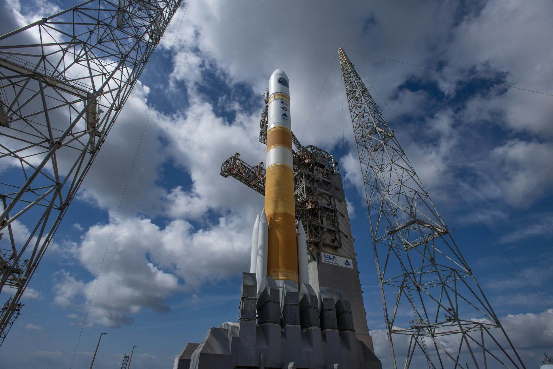
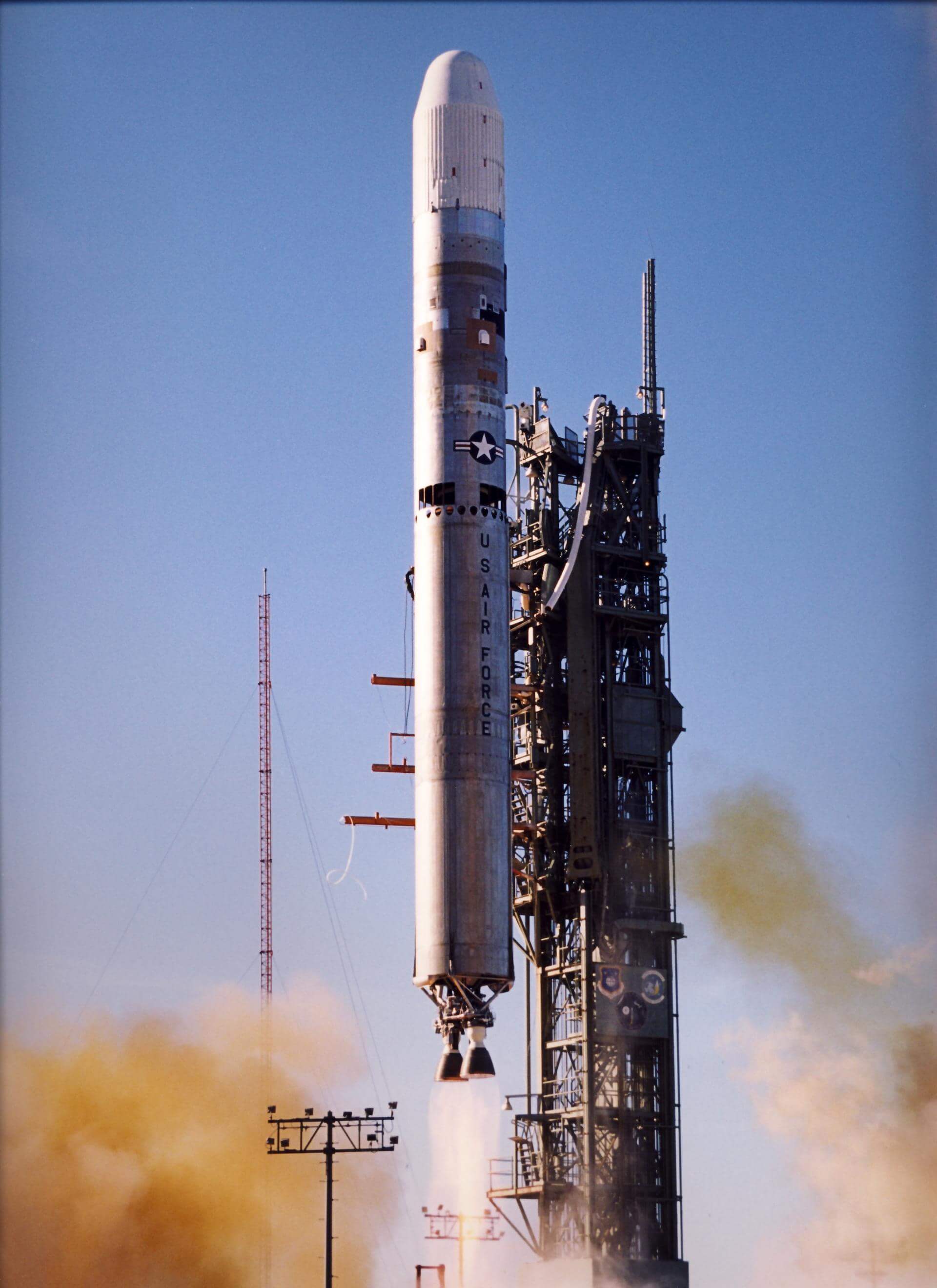
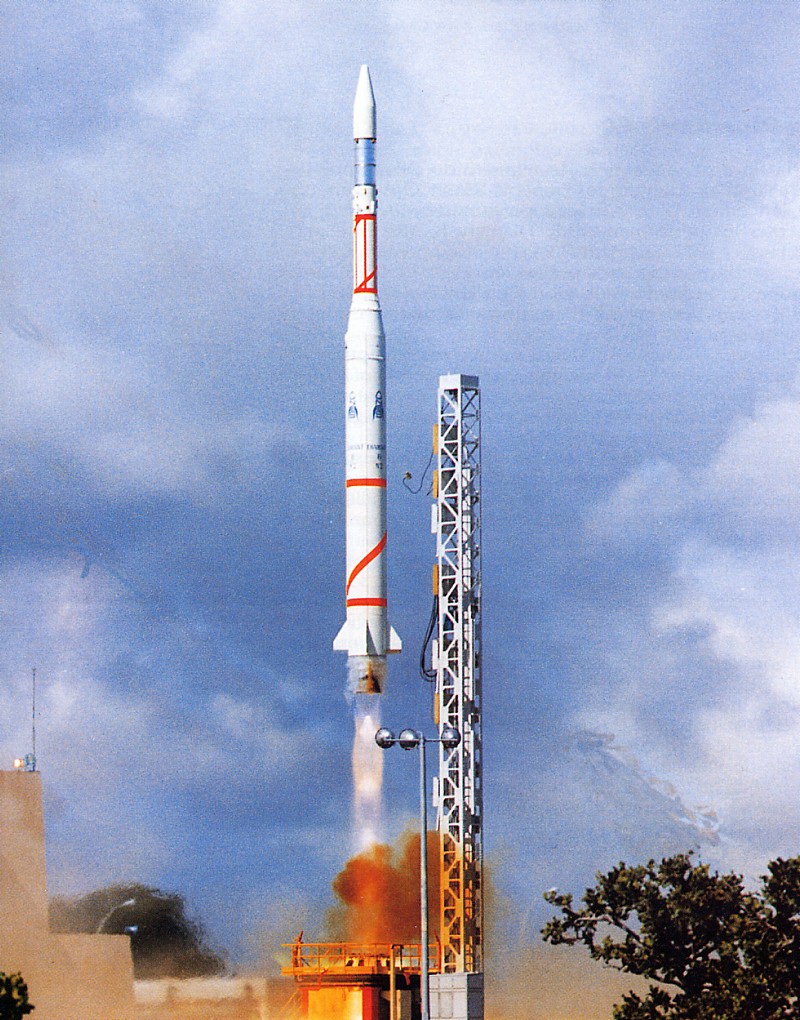
{ "count": 7503, "next": "https://ll.thespacedevs.com/2.0.0/launch/?format=api&limit=10&offset=6890&ordering=-id", "previous": "https://ll.thespacedevs.com/2.0.0/launch/?format=api&limit=10&offset=6870&ordering=-id", "results": [ { "id": "15d0903a-89aa-43bc-a7e9-8a7d308d9ea9", "url": "https://ll.thespacedevs.com/2.0.0/launch/15d0903a-89aa-43bc-a7e9-8a7d308d9ea9/?format=api", "launch_library_id": 598, "slug": "delta-iv-m54-wgs-4-usa-233", "name": "Delta IV M+(5,4) | WGS-4 (USA-233)", "status": { "id": 3, "name": "Success" }, "net": "2012-01-20T00:38:00Z", "window_end": "2012-01-20T00:38:00Z", "window_start": "2012-01-20T00:38:00Z", "inhold": false, "tbdtime": false, "tbddate": false, "probability": -1, "holdreason": "", "failreason": null, "hashtag": null, "launch_service_provider": { "id": 124, "url": "https://ll.thespacedevs.com/2.0.0/agencies/124/?format=api", "name": "United Launch Alliance", "type": "Commercial" }, "rocket": { "id": 1587, "configuration": { "id": 23, "launch_library_id": 42, "url": "https://ll.thespacedevs.com/2.0.0/config/launcher/23/?format=api", "name": "Delta IV M+(5,4)", "family": "Delta", "full_name": "Delta IV M+(5,4)", "variant": "M+(5,4)" } }, "mission": { "id": 806, "launch_library_id": 3, "name": "WGS-4 (USA-233)", "description": "The United Launch Alliance Delta 4 rocket launched the fourth Wideband Global SATCOM spacecraft, formerly known as the Wideband Gapfiller Satellite. Built by Boeing, this geostationary communications spacecraft serves U.S. military forces.", "launch_designator": null, "type": "Communications", "orbit": { "id": 2, "name": "Geostationary Transfer Orbit", "abbrev": "GTO" } }, "pad": { "id": 38, "url": "https://ll.thespacedevs.com/2.0.0/pad/38/?format=api", "agency_id": null, "name": "Space Launch Complex 37B", "info_url": null, "wiki_url": "https://en.wikipedia.org/wiki/Cape_Canaveral_Air_Force_Station_Space_Launch_Complex_37", "map_url": "https://www.google.com/maps?q=28.5317,-80.56495", "latitude": "28.5317", "longitude": "-80.56495", "location": { "id": 12, "url": "https://ll.thespacedevs.com/2.0.0/location/12/?format=api", "name": "Cape Canaveral SFS, FL, USA", "country_code": "USA", "map_image": "https://thespacedevs-prod.nyc3.digitaloceanspaces.com/media/map_images/location_12_20200803142519.jpg", "total_launch_count": 1023, "total_landing_count": 64 }, "map_image": "https://thespacedevs-prod.nyc3.digitaloceanspaces.com/media/map_images/pad_38_20200803143515.jpg", "total_launch_count": 40 }, "webcast_live": false, "image": "https://thespacedevs-prod.nyc3.digitaloceanspaces.com/media/images/delta_iv_m252b_image_20240308073027.jpeg", "infographic": null, "program": [] }, { "id": "15b81e31-07bd-4e9c-832a-6f9f304acf22", "url": "https://ll.thespacedevs.com/2.0.0/launch/15b81e31-07bd-4e9c-832a-6f9f304acf22/?format=api", "launch_library_id": null, "slug": "soyuz-u-zenit-6u-6", "name": "Soyuz U | Zenit-6U 6", "status": { "id": 3, "name": "Success" }, "net": "1979-04-20T11:30:00Z", "window_end": "1979-04-20T11:30:00Z", "window_start": "1979-04-20T11:30:00Z", "inhold": false, "tbdtime": false, "tbddate": false, "probability": null, "holdreason": "", "failreason": null, "hashtag": null, "launch_service_provider": { "id": 66, "url": "https://ll.thespacedevs.com/2.0.0/agencies/66/?format=api", "name": "Soviet Space Program", "type": "Government" }, "rocket": { "id": 5064, "configuration": { "id": 37, "launch_library_id": 35, "url": "https://ll.thespacedevs.com/2.0.0/config/launcher/37/?format=api", "name": "Soyuz U", "family": "Soyuz", "full_name": "Soyuz U", "variant": "" } }, "mission": { "id": 3476, "launch_library_id": null, "name": "Zenit-6U 6", "description": "Optical film-return reconnaissance satellite", "launch_designator": null, "type": "Government/Top Secret", "orbit": { "id": 8, "name": "Low Earth Orbit", "abbrev": "LEO" } }, "pad": { "id": 36, "url": "https://ll.thespacedevs.com/2.0.0/pad/36/?format=api", "agency_id": 163, "name": "43/3 (43L)", "info_url": null, "wiki_url": null, "map_url": "https://www.google.com/maps?q=62.9273,40.45", "latitude": "62.9273", "longitude": "40.45", "location": { "id": 6, "url": "https://ll.thespacedevs.com/2.0.0/location/6/?format=api", "name": "Plesetsk Cosmodrome, Russian Federation", "country_code": "RUS", "map_image": "https://thespacedevs-prod.nyc3.digitaloceanspaces.com/media/map_images/location_6_20200803142434.jpg", "total_launch_count": 1674, "total_landing_count": 0 }, "map_image": "https://thespacedevs-prod.nyc3.digitaloceanspaces.com/media/map_images/pad_36_20200803143534.jpg", "total_launch_count": 230 }, "webcast_live": false, "image": "https://thespacedevs-prod.nyc3.digitaloceanspaces.com/media/images/soyuz2520u_image_20190222031023.jpeg", "infographic": null, "program": [] }, { "id": "15ae7452-2d04-4217-89b3-78ad81162566", "url": "https://ll.thespacedevs.com/2.0.0/launch/15ae7452-2d04-4217-89b3-78ad81162566/?format=api", "launch_library_id": null, "slug": "thor-agena-d-kh-5-8", "name": "Thor Agena D | KH-5 8", "status": { "id": 4, "name": "Failure" }, "net": "1963-04-26T20:12:57Z", "window_end": "1963-04-26T20:12:57Z", "window_start": "1963-04-26T20:12:57Z", "inhold": false, "tbdtime": false, "tbddate": false, "probability": null, "holdreason": "", "failreason": null, "hashtag": null, "launch_service_provider": { "id": 161, "url": "https://ll.thespacedevs.com/2.0.0/agencies/161/?format=api", "name": "United States Air Force", "type": "Government" }, "rocket": { "id": 3198, "configuration": { "id": 393, "launch_library_id": null, "url": "https://ll.thespacedevs.com/2.0.0/config/launcher/393/?format=api", "name": "Thor Agena D", "family": "Thor", "full_name": "Thor Agena D", "variant": "Agena D" } }, "mission": { "id": 1620, "launch_library_id": null, "name": "KH-5 8", "description": "KH-5 (Keyhole 5, codenamed Argon) was the area survey component of the Corona program.", "launch_designator": null, "type": "Government/Top Secret", "orbit": { "id": 8, "name": "Low Earth Orbit", "abbrev": "LEO" } }, "pad": { "id": 98, "url": "https://ll.thespacedevs.com/2.0.0/pad/98/?format=api", "agency_id": 161, "name": "Space Launch Complex 2E", "info_url": null, "wiki_url": "https://en.wikipedia.org/wiki/Vandenberg_Space_Launch_Complex_2", "map_url": "https://www.google.com/maps?q=34.7516,-120.6192", "latitude": "34.7516", "longitude": "-120.6192", "location": { "id": 11, "url": "https://ll.thespacedevs.com/2.0.0/location/11/?format=api", "name": "Vandenberg SFB, CA, USA", "country_code": "USA", "map_image": "https://thespacedevs-prod.nyc3.digitaloceanspaces.com/media/map_images/location_11_20200803142416.jpg", "total_launch_count": 807, "total_landing_count": 26 }, "map_image": "https://thespacedevs-prod.nyc3.digitaloceanspaces.com/media/map_images/pad_98_20200803143228.jpg", "total_launch_count": 47 }, "webcast_live": false, "image": null, "infographic": null, "program": [] }, { "id": "15a64d41-4100-4ac4-803a-05354435fe2d", "url": "https://ll.thespacedevs.com/2.0.0/launch/15a64d41-4100-4ac4-803a-05354435fe2d/?format=api", "launch_library_id": null, "slug": "soyuz-u-zenit-4mkm-2", "name": "Soyuz U | Zenit-4MKM 2", "status": { "id": 3, "name": "Success" }, "net": "1977-07-20T07:35:00Z", "window_end": "1977-07-20T07:35:00Z", "window_start": "1977-07-20T07:35:00Z", "inhold": false, "tbdtime": false, "tbddate": false, "probability": null, "holdreason": "", "failreason": null, "hashtag": null, "launch_service_provider": { "id": 66, "url": "https://ll.thespacedevs.com/2.0.0/agencies/66/?format=api", "name": "Soviet Space Program", "type": "Government" }, "rocket": { "id": 4859, "configuration": { "id": 37, "launch_library_id": 35, "url": "https://ll.thespacedevs.com/2.0.0/config/launcher/37/?format=api", "name": "Soyuz U", "family": "Soyuz", "full_name": "Soyuz U", "variant": "" } }, "mission": { "id": 3276, "launch_library_id": null, "name": "Zenit-4MKM 2", "description": "High-resolution film-return Zenit reconnaissance satellite", "launch_designator": null, "type": "Government/Top Secret", "orbit": { "id": 8, "name": "Low Earth Orbit", "abbrev": "LEO" } }, "pad": { "id": 20, "url": "https://ll.thespacedevs.com/2.0.0/pad/20/?format=api", "agency_id": null, "name": "31/6", "info_url": null, "wiki_url": "https://en.wikipedia.org/wiki/Baikonur_Cosmodrome_Site_31", "map_url": "https://www.google.com/maps?q=45.996034,63.564003", "latitude": "45.996034", "longitude": "63.564003", "location": { "id": 15, "url": "https://ll.thespacedevs.com/2.0.0/location/15/?format=api", "name": "Baikonur Cosmodrome, Republic of Kazakhstan", "country_code": "KAZ", "map_image": "https://thespacedevs-prod.nyc3.digitaloceanspaces.com/media/map_images/location_15_20200803142517.jpg", "total_launch_count": 1555, "total_landing_count": 0 }, "map_image": "https://thespacedevs-prod.nyc3.digitaloceanspaces.com/media/map_images/pad_20_20200803143516.jpg", "total_launch_count": 422 }, "webcast_live": false, "image": "https://thespacedevs-prod.nyc3.digitaloceanspaces.com/media/images/soyuz2520u_image_20190222031023.jpeg", "infographic": null, "program": [] }, { "id": "159cad5e-9b0f-4496-9ea8-92b74161d0f6", "url": "https://ll.thespacedevs.com/2.0.0/launch/159cad5e-9b0f-4496-9ea8-92b74161d0f6/?format=api", "launch_library_id": null, "slug": "titan-iiic-vela-5a-5b", "name": "Titan IIIC | Vela 5A & 5B", "status": { "id": 3, "name": "Success" }, "net": "1969-05-23T07:57:01Z", "window_end": "1969-05-23T07:57:01Z", "window_start": "1969-05-23T07:57:01Z", "inhold": false, "tbdtime": false, "tbddate": false, "probability": null, "holdreason": "", "failreason": null, "hashtag": null, "launch_service_provider": { "id": 161, "url": "https://ll.thespacedevs.com/2.0.0/agencies/161/?format=api", "name": "United States Air Force", "type": "Government" }, "rocket": { "id": 3907, "configuration": { "id": 439, "launch_library_id": null, "url": "https://ll.thespacedevs.com/2.0.0/config/launcher/439/?format=api", "name": "Titan IIIC", "family": "Titan", "full_name": "Titan IIIC", "variant": "IIIC" } }, "mission": { "id": 2325, "launch_library_id": null, "name": "Vela 5A & 5B", "description": "Like its predecessor, the Vela, the Advanced Vela series of spacecraft were designed to monitor worldwide compliance with the 1963 nuclear test ban treaty.", "launch_designator": null, "type": "Government/Top Secret", "orbit": { "id": 8, "name": "Low Earth Orbit", "abbrev": "LEO" } }, "pad": { "id": 29, "url": "https://ll.thespacedevs.com/2.0.0/pad/29/?format=api", "agency_id": null, "name": "Space Launch Complex 41", "info_url": null, "wiki_url": "https://en.wikipedia.org/wiki/Cape_Canaveral_Air_Force_Station_Space_Launch_Complex_41", "map_url": "https://www.google.com/maps?q=28.58341025,-80.58303644", "latitude": "28.58341025", "longitude": "-80.58303644", "location": { "id": 12, "url": "https://ll.thespacedevs.com/2.0.0/location/12/?format=api", "name": "Cape Canaveral SFS, FL, USA", "country_code": "USA", "map_image": "https://thespacedevs-prod.nyc3.digitaloceanspaces.com/media/map_images/location_12_20200803142519.jpg", "total_launch_count": 1023, "total_landing_count": 64 }, "map_image": "https://thespacedevs-prod.nyc3.digitaloceanspaces.com/media/map_images/pad_29_20200803143528.jpg", "total_launch_count": 115 }, "webcast_live": false, "image": null, "infographic": null, "program": [] }, { "id": "159b6743-ed6c-415a-bb5c-b42e947b33e9", "url": "https://ll.thespacedevs.com/2.0.0/launch/159b6743-ed6c-415a-bb5c-b42e947b33e9/?format=api", "launch_library_id": null, "slug": "molniya-m-venera-8", "name": "Molniya-M | Venera-8", "status": { "id": 3, "name": "Success" }, "net": "1972-03-27T04:15:01Z", "window_end": "1972-03-27T04:15:01Z", "window_start": "1972-03-27T04:15:01Z", "inhold": false, "tbdtime": false, "tbddate": false, "probability": null, "holdreason": "", "failreason": null, "hashtag": null, "launch_service_provider": { "id": 66, "url": "https://ll.thespacedevs.com/2.0.0/agencies/66/?format=api", "name": "Soviet Space Program", "type": "Government" }, "rocket": { "id": 4241, "configuration": { "id": 106, "launch_library_id": 126, "url": "https://ll.thespacedevs.com/2.0.0/config/launcher/106/?format=api", "name": "Molniya-M", "family": "R-7", "full_name": "Molniya-M 2BL", "variant": "2BL" } }, "mission": { "id": 2659, "launch_library_id": null, "name": "Venera-8", "description": "Venus lander", "launch_designator": null, "type": "Robotic Exploration", "orbit": { "id": 20, "name": "Venus Orbit", "abbrev": "Venus" } }, "pad": { "id": 20, "url": "https://ll.thespacedevs.com/2.0.0/pad/20/?format=api", "agency_id": null, "name": "31/6", "info_url": null, "wiki_url": "https://en.wikipedia.org/wiki/Baikonur_Cosmodrome_Site_31", "map_url": "https://www.google.com/maps?q=45.996034,63.564003", "latitude": "45.996034", "longitude": "63.564003", "location": { "id": 15, "url": "https://ll.thespacedevs.com/2.0.0/location/15/?format=api", "name": "Baikonur Cosmodrome, Republic of Kazakhstan", "country_code": "KAZ", "map_image": "https://thespacedevs-prod.nyc3.digitaloceanspaces.com/media/map_images/location_15_20200803142517.jpg", "total_launch_count": 1555, "total_landing_count": 0 }, "map_image": "https://thespacedevs-prod.nyc3.digitaloceanspaces.com/media/map_images/pad_20_20200803143516.jpg", "total_launch_count": 422 }, "webcast_live": false, "image": null, "infographic": null, "program": [] }, { "id": "158ae64d-100d-432c-a7ac-3a33c29df4df", "url": "https://ll.thespacedevs.com/2.0.0/launch/158ae64d-100d-432c-a7ac-3a33c29df4df/?format=api", "launch_library_id": null, "slug": "titan-ii-slv-noaa-17", "name": "Titan II SLV | NOAA 17", "status": { "id": 3, "name": "Success" }, "net": "2002-06-24T18:23:04Z", "window_end": "2002-06-24T18:23:04Z", "window_start": "2002-06-24T18:23:04Z", "inhold": false, "tbdtime": false, "tbddate": false, "probability": null, "holdreason": "", "failreason": null, "hashtag": null, "launch_service_provider": { "id": 161, "url": "https://ll.thespacedevs.com/2.0.0/agencies/161/?format=api", "name": "United States Air Force", "type": "Government" }, "rocket": { "id": 7095, "configuration": { "id": 436, "launch_library_id": null, "url": "https://ll.thespacedevs.com/2.0.0/config/launcher/436/?format=api", "name": "Titan II SLV", "family": "Titan", "full_name": "Titan II SLV", "variant": "23G" } }, "mission": { "id": 5484, "launch_library_id": null, "name": "NOAA 17", "description": "NOAA M carried weather imagers and microwave and infrared sounders, as well as a SARSAT search-and-rescue package. It had an on-orbit mass of 1475 kg.", "launch_designator": null, "type": "Earth Science", "orbit": { "id": 13, "name": "Polar Orbit", "abbrev": "PO" } }, "pad": { "id": 156, "url": "https://ll.thespacedevs.com/2.0.0/pad/156/?format=api", "agency_id": null, "name": "Space Launch Complex 4W", "info_url": "http://www.astronautix.com/v/vandenbergslc4w.html", "wiki_url": "https://en.wikipedia.org/wiki/Vandenberg_Air_Force_Base_Space_Launch_Complex_4#SLC-4W", "map_url": "https://www.google.com/maps?q=34.63312,-120.61584", "latitude": "34.63312", "longitude": "-120.61584", "location": { "id": 11, "url": "https://ll.thespacedevs.com/2.0.0/location/11/?format=api", "name": "Vandenberg SFB, CA, USA", "country_code": "USA", "map_image": "https://thespacedevs-prod.nyc3.digitaloceanspaces.com/media/map_images/location_11_20200803142416.jpg", "total_launch_count": 807, "total_landing_count": 26 }, "map_image": "https://thespacedevs-prod.nyc3.digitaloceanspaces.com/media/map_images/pad_156_20200803143351.jpg", "total_launch_count": 93 }, "webcast_live": false, "image": "https://thespacedevs-prod.nyc3.digitaloceanspaces.com/media/images/titan_ii_slv_image_20231231110038.jpeg", "infographic": null, "program": [] }, { "id": "15887d4c-2c56-46bb-b8a1-3420176073a7", "url": "https://ll.thespacedevs.com/2.0.0/launch/15887d4c-2c56-46bb-b8a1-3420176073a7/?format=api", "launch_library_id": null, "slug": "diamant-b-dial-wika", "name": "Diamant B | Dial Wika", "status": { "id": 3, "name": "Success" }, "net": "1970-03-10T12:20:00Z", "window_end": "1970-03-10T12:20:00Z", "window_start": "1970-03-10T12:20:00Z", "inhold": false, "tbdtime": false, "tbddate": false, "probability": null, "holdreason": "", "failreason": null, "hashtag": null, "launch_service_provider": { "id": 46, "url": "https://ll.thespacedevs.com/2.0.0/agencies/46/?format=api", "name": "National Center of Space Research", "type": "Government" }, "rocket": { "id": 3990, "configuration": { "id": 312, "launch_library_id": null, "url": "https://ll.thespacedevs.com/2.0.0/config/launcher/312/?format=api", "name": "Diamant B", "family": "Diamant", "full_name": "Diamant B", "variant": "B" } }, "mission": { "id": 2408, "launch_library_id": null, "name": "Dial Wika", "description": "French-German scientific satellite with four experiments aboard.", "launch_designator": null, "type": "Earth Science", "orbit": { "id": 8, "name": "Low Earth Orbit", "abbrev": "LEO" } }, "pad": { "id": 125, "url": "https://ll.thespacedevs.com/2.0.0/pad/125/?format=api", "agency_id": 115, "name": "Diamant Launch Area", "info_url": null, "wiki_url": null, "map_url": "https://www.google.com/maps?q=5.2222222,-52.7758051", "latitude": "5.2222222", "longitude": "-52.7758051", "location": { "id": 13, "url": "https://ll.thespacedevs.com/2.0.0/location/13/?format=api", "name": "Guiana Space Centre, French Guiana", "country_code": "GUF", "map_image": "https://thespacedevs-prod.nyc3.digitaloceanspaces.com/media/map_images/location_13_20200803142412.jpg", "total_launch_count": 325, "total_landing_count": 0 }, "map_image": "https://thespacedevs-prod.nyc3.digitaloceanspaces.com/media/map_images/pad_125_20200803143236.jpg", "total_launch_count": 8 }, "webcast_live": false, "image": "https://thespacedevs-prod.nyc3.digitaloceanspaces.com/media/images/diamant_b_lifto_image_20240411170212.jpg", "infographic": null, "program": [] }, { "id": "1584aebf-8cc0-43cb-9b33-86a7c5c2bbd0", "url": "https://ll.thespacedevs.com/2.0.0/launch/1584aebf-8cc0-43cb-9b33-86a7c5c2bbd0/?format=api", "launch_library_id": 2005, "slug": "long-march-6-ningxia-1-x5", "name": "Long March 6 | Ningxia 1 (x5)", "status": { "id": 3, "name": "Success" }, "net": "2019-11-13T06:35:00Z", "window_end": "2019-11-13T07:15:00Z", "window_start": "2019-11-13T06:23:00Z", "inhold": false, "tbdtime": false, "tbddate": false, "probability": -1, "holdreason": "", "failreason": "", "hashtag": null, "launch_service_provider": { "id": 88, "url": "https://ll.thespacedevs.com/2.0.0/agencies/88/?format=api", "name": "China Aerospace Science and Technology Corporation", "type": "Government" }, "rocket": { "id": 2578, "configuration": { "id": 54, "launch_library_id": 72, "url": "https://ll.thespacedevs.com/2.0.0/config/launcher/54/?format=api", "name": "Long March 6", "family": "Long March", "full_name": "Long March 6", "variant": "" } }, "mission": { "id": 1058, "launch_library_id": 1257, "name": "Ningxia 1 (x5)", "description": "Ningxia 1 is a constellation of remote sensing satellites developed by Dongfanghong Satellite Co., Ltd.", "launch_designator": null, "type": "Earth Science", "orbit": null }, "pad": { "id": 113, "url": "https://ll.thespacedevs.com/2.0.0/pad/113/?format=api", "agency_id": null, "name": "Launch Complex 16", "info_url": null, "wiki_url": null, "map_url": "https://www.google.com/maps?q=38.868222,111.58024", "latitude": "38.868222", "longitude": "111.58024", "location": { "id": 19, "url": "https://ll.thespacedevs.com/2.0.0/location/19/?format=api", "name": "Taiyuan Satellite Launch Center, People's Republic of China", "country_code": "CHN", "map_image": "https://thespacedevs-prod.nyc3.digitaloceanspaces.com/media/map_images/location_19_20200803142421.jpg", "total_launch_count": 141, "total_landing_count": 0 }, "map_image": "https://thespacedevs-prod.nyc3.digitaloceanspaces.com/media/map_images/pad_113_20200803143556.jpg", "total_launch_count": 15 }, "webcast_live": false, "image": "https://thespacedevs-prod.nyc3.digitaloceanspaces.com/media/images/long_march_6_image_20210709074933.jpg", "infographic": null, "program": [] }, { "id": "157111f3-8e58-4d39-82c9-ff98c9095171", "url": "https://ll.thespacedevs.com/2.0.0/launch/157111f3-8e58-4d39-82c9-ff98c9095171/?format=api", "launch_library_id": null, "slug": "delta-6920-10-rosat", "name": "Delta 6920-10 | ROSAT", "status": { "id": 3, "name": "Success" }, "net": "1990-06-01T21:48:00Z", "window_end": "1990-06-01T21:48:00Z", "window_start": "1990-06-01T21:48:00Z", "inhold": false, "tbdtime": false, "tbddate": false, "probability": null, "holdreason": "", "failreason": null, "hashtag": null, "launch_service_provider": { "id": 161, "url": "https://ll.thespacedevs.com/2.0.0/agencies/161/?format=api", "name": "United States Air Force", "type": "Government" }, "rocket": { "id": 6275, "configuration": { "id": 298, "launch_library_id": null, "url": "https://ll.thespacedevs.com/2.0.0/config/launcher/298/?format=api", "name": "Delta II", "family": "Delta", "full_name": "Delta II 6920-10", "variant": "6920-10" } }, "mission": { "id": 4665, "launch_library_id": null, "name": "ROSAT", "description": "X-ray observatory developed by German, the United States and the United Kingdom", "launch_designator": null, "type": "Astrophysics", "orbit": { "id": 8, "name": "Low Earth Orbit", "abbrev": "LEO" } }, "pad": { "id": 14, "url": "https://ll.thespacedevs.com/2.0.0/pad/14/?format=api", "agency_id": null, "name": "Space Launch Complex 17A", "info_url": null, "wiki_url": "https://en.wikipedia.org/wiki/Cape_Canaveral_Space_Launch_Complex_17", "map_url": "https://www.google.com/maps?q=28.4472,-80.565", "latitude": "28.4472", "longitude": "-80.565", "location": { "id": 12, "url": "https://ll.thespacedevs.com/2.0.0/location/12/?format=api", "name": "Cape Canaveral SFS, FL, USA", "country_code": "USA", "map_image": "https://thespacedevs-prod.nyc3.digitaloceanspaces.com/media/map_images/location_12_20200803142519.jpg", "total_launch_count": 1023, "total_landing_count": 64 }, "map_image": "https://thespacedevs-prod.nyc3.digitaloceanspaces.com/media/map_images/pad_14_20200803143451.jpg", "total_launch_count": 145 }, "webcast_live": false, "image": null, "infographic": null, "program": [] } ] }