Launch List
API endpoint that returns all Launch objects or a single launch.
EXAMPLE - /launch/
GET: Return a list of all Launch objects.
FILTERS: Fields - 'name', 'id(s)', 'lsp_id', 'lsp_name', 'serial_number', 'launcher_config__id', 'rocket__spacecraftflight__spacecraft__name'
MODE: 'normal', 'list', 'detailed' EXAMPLE: ?mode=list
SEARCH: Searches through the launch name, rocket name, launch agency, mission name & spacecraft name. EXAMPLE - ?search=SpaceX
GET /2.0.0/launch/?format=api&offset=6800&ordering=-id
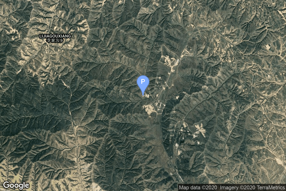
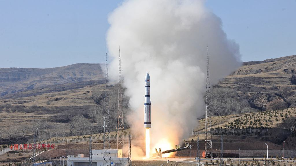
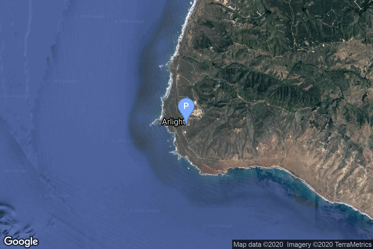
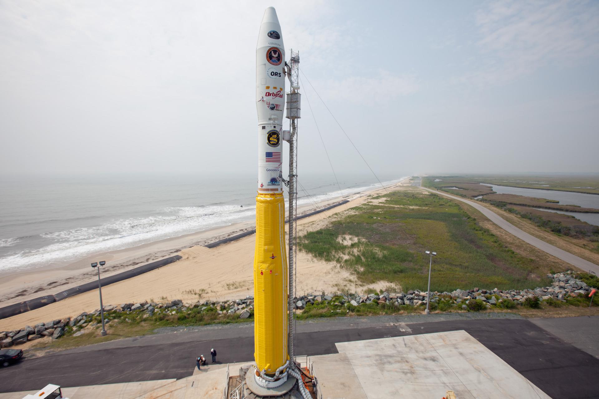
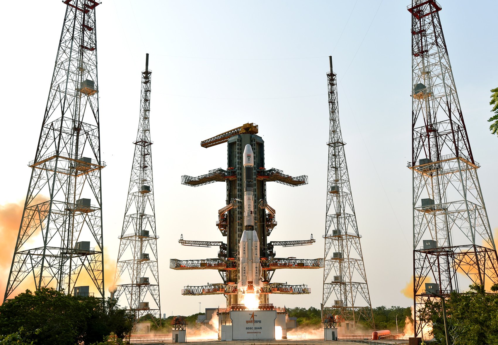
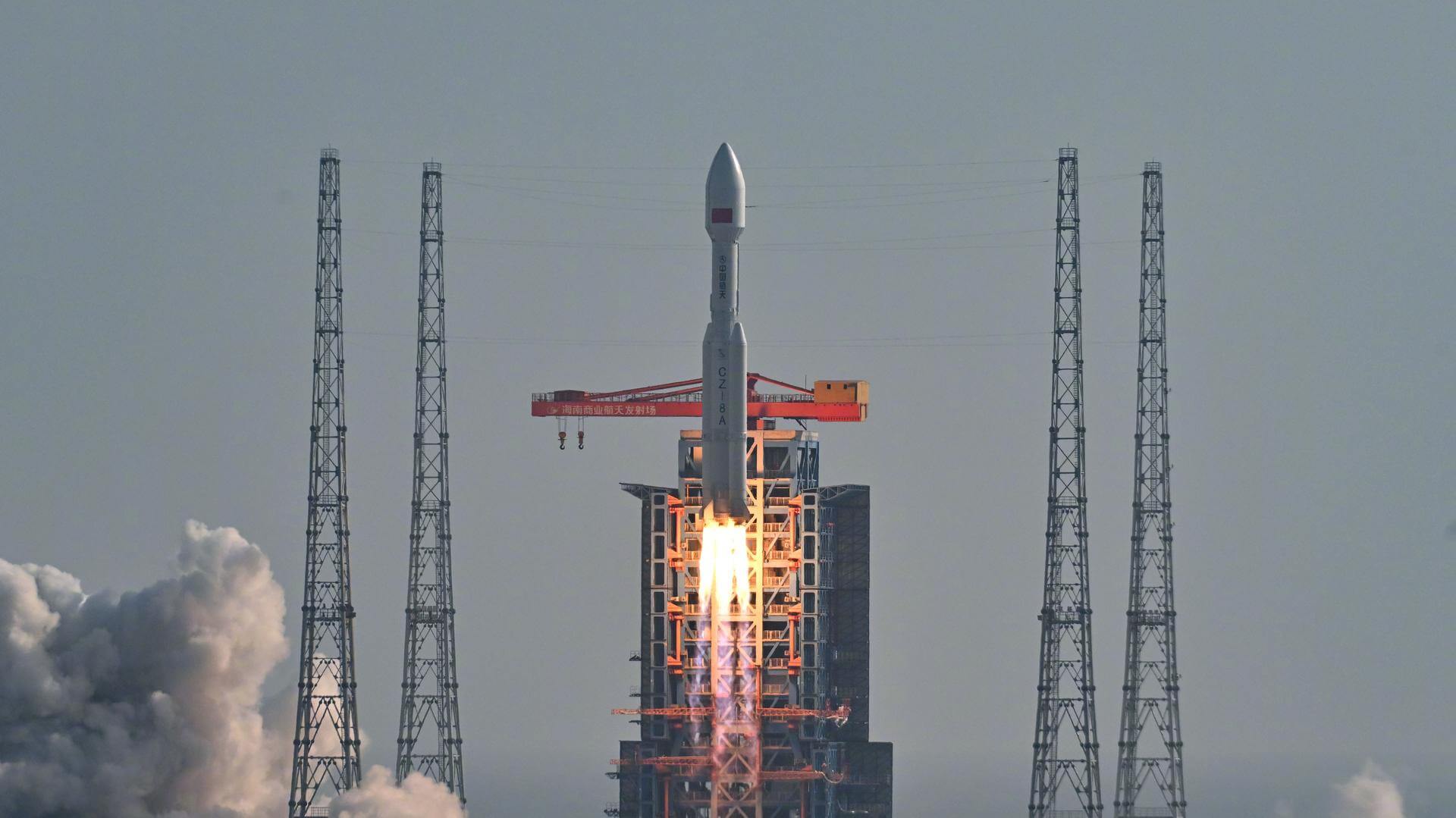
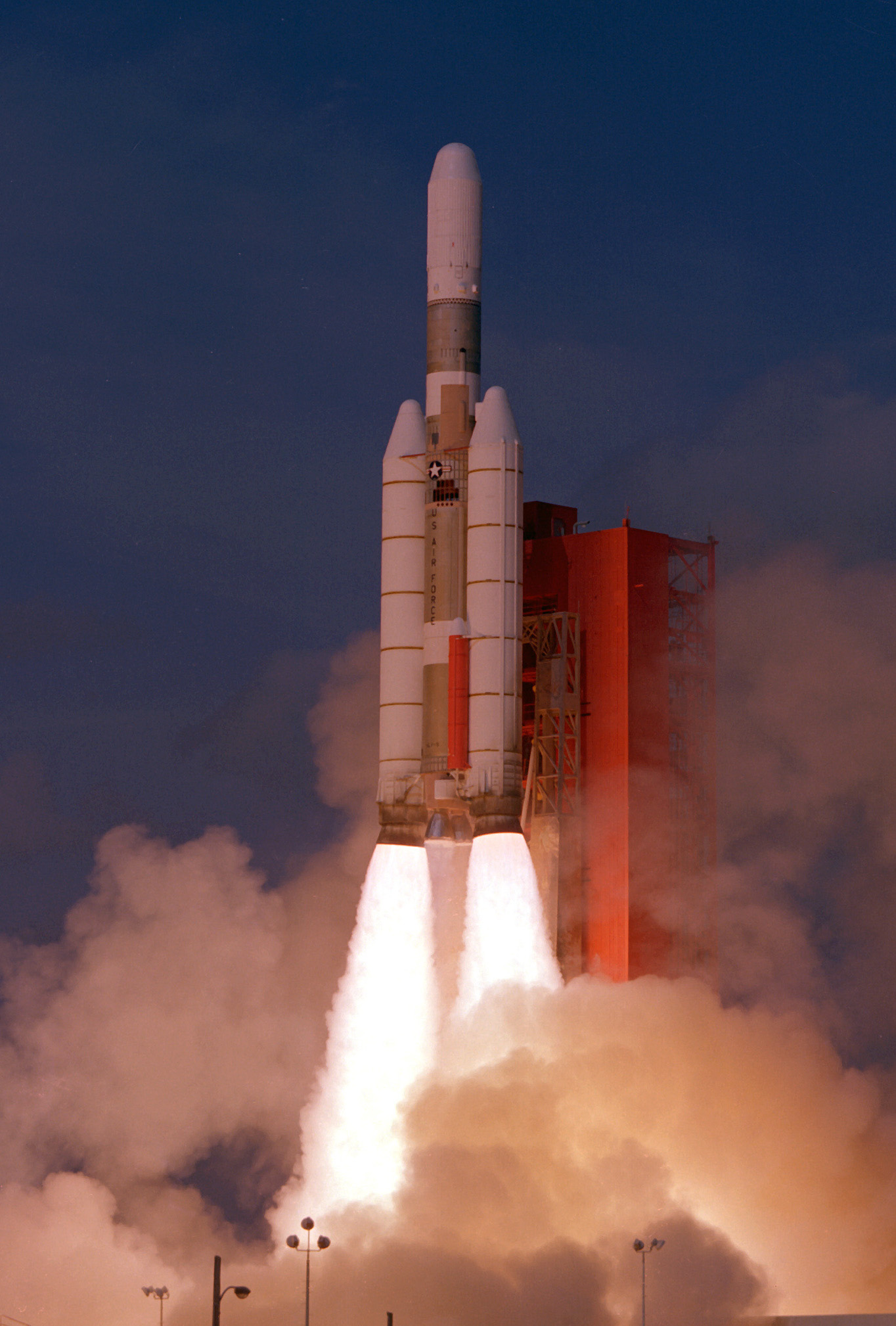
{ "count": 7827, "next": "https://ll.thespacedevs.com/2.0.0/launch/?format=api&limit=10&offset=6810&ordering=-id", "previous": "https://ll.thespacedevs.com/2.0.0/launch/?format=api&limit=10&offset=6790&ordering=-id", "results": [ { "id": "221552dc-18f2-438e-a858-e29b3eafcf1a", "url": "https://ll.thespacedevs.com/2.0.0/launch/221552dc-18f2-438e-a858-e29b3eafcf1a/?format=api", "launch_library_id": null, "slug": "long-march-6-sdgsat-1", "name": "Long March 6 | SDGSAT-1", "status": { "id": 3, "name": "Success" }, "net": "2021-11-05T02:19:00Z", "window_end": "2021-11-05T02:39:00Z", "window_start": "2021-11-05T02:12:00Z", "inhold": false, "tbdtime": false, "tbddate": false, "probability": null, "holdreason": "", "failreason": "", "hashtag": null, "launch_service_provider": { "id": 88, "url": "https://ll.thespacedevs.com/2.0.0/agencies/88/?format=api", "name": "China Aerospace Science and Technology Corporation", "type": "Government" }, "rocket": { "id": 7490, "configuration": { "id": 54, "launch_library_id": 72, "url": "https://ll.thespacedevs.com/2.0.0/config/launcher/54/?format=api", "name": "Long March 6", "family": "Long March", "full_name": "Long March 6", "variant": "" } }, "mission": { "id": 5882, "launch_library_id": null, "name": "SDGSAT-1", "description": "Satellite developed by the Chinese Academy of Sciences (CAS) for pursuing sustainable development. \r\n\r\nIt is expected to provide advanced, open and shared data resources for monitoring and evaluating the sustainable development index representing the interaction between human and nature, in particular providing support for Sustainable Development Goals (SDGs) of the UN 2030 Agenda for Sustainable Development.\r\n\r\nThe satellite has three payloads including thermal infrared, low light level and multispectral imagers, with 300 km wide data acquisition swath capability. It can achieve global coverage within 11 days.", "launch_designator": null, "type": "Earth Science", "orbit": { "id": 17, "name": "Sun-Synchronous Orbit", "abbrev": "SSO" } }, "pad": { "id": 113, "url": "https://ll.thespacedevs.com/2.0.0/pad/113/?format=api", "agency_id": null, "name": "Launch Complex 16", "info_url": null, "wiki_url": null, "map_url": "https://www.google.com/maps?q=38.868222,111.58024", "latitude": "38.868222", "longitude": "111.58024", "location": { "id": 19, "url": "https://ll.thespacedevs.com/2.0.0/location/19/?format=api", "name": "Taiyuan Satellite Launch Center, People's Republic of China", "country_code": "CHN", "map_image": "https://thespacedevs-prod.nyc3.digitaloceanspaces.com/media/map_images/location_19_20200803142421.jpg", "total_launch_count": 152, "total_landing_count": 0 }, "map_image": "https://thespacedevs-prod.nyc3.digitaloceanspaces.com/media/map_images/pad_113_20200803143556.jpg", "total_launch_count": 15 }, "webcast_live": false, "image": "https://thespacedevs-prod.nyc3.digitaloceanspaces.com/media/images/long_march_6_image_20210709074933.jpg", "infographic": null, "program": [] }, { "id": "221509f8-3faa-4b05-ac7f-94165f6c57b6", "url": "https://ll.thespacedevs.com/2.0.0/launch/221509f8-3faa-4b05-ac7f-94165f6c57b6/?format=api", "launch_library_id": null, "slug": "minotaur-i-jawsat-falconsat-1", "name": "Minotaur I | JAWSAT & FalconSat 1", "status": { "id": 3, "name": "Success" }, "net": "2000-01-27T03:03:06Z", "window_end": "2000-01-27T03:03:06Z", "window_start": "2000-01-27T03:03:06Z", "inhold": false, "tbdtime": false, "tbddate": false, "probability": null, "holdreason": "", "failreason": null, "hashtag": null, "launch_service_provider": { "id": 100, "url": "https://ll.thespacedevs.com/2.0.0/agencies/100/?format=api", "name": "Orbital Sciences Corporation", "type": "Commercial" }, "rocket": { "id": 6967, "configuration": { "id": 175, "launch_library_id": 19, "url": "https://ll.thespacedevs.com/2.0.0/config/launcher/175/?format=api", "name": "Minotaur I", "family": "Minotaur", "full_name": "Minotaur I", "variant": "" } }, "mission": { "id": 5356, "launch_library_id": null, "name": "JAWSAT & FalconSat 1", "description": "The JAWSAT (Joint Air Force Academy / Weber State University Satellite) project was developed by students working alongside aerospace professionals. Initially designed with a pulsed-plasma thruster to train Air Force Academy cadets (see JAWSAT), the mission has since evolved to include the efforts of several universities, local aerospace companies, the Air Force Academy, the Air Force Research Laboratory, and NASA. Utilizing breakthrough technologies, JAWSAT deployed four satellites when it reached orbit. The onboard imaging system recorded the deployment of each payload with its six digital cameras. The first free-flying Academy satellite, FalconSat-1 carried the CHAWS (Charging Hazards and Wake Studies) experiment developed by the Physics Department at the Academy.", "launch_designator": null, "type": "Test Flight", "orbit": { "id": 8, "name": "Low Earth Orbit", "abbrev": "LEO" } }, "pad": { "id": 8, "url": "https://ll.thespacedevs.com/2.0.0/pad/8/?format=api", "agency_id": 161, "name": "Space Launch Complex 8", "info_url": null, "wiki_url": "https://en.wikipedia.org/wiki/Vandenberg_Space_Launch_Complex_8", "map_url": "https://www.google.com/maps?q=34.57635,-120.63245", "latitude": "34.57635", "longitude": "-120.63245", "location": { "id": 11, "url": "https://ll.thespacedevs.com/2.0.0/location/11/?format=api", "name": "Vandenberg SFB, CA, USA", "country_code": "USA", "map_image": "https://thespacedevs-prod.nyc3.digitaloceanspaces.com/media/map_images/location_11_20200803142416.jpg", "total_launch_count": 870, "total_landing_count": 33 }, "map_image": "https://thespacedevs-prod.nyc3.digitaloceanspaces.com/media/map_images/pad_8_20200803143300.jpg", "total_launch_count": 9 }, "webcast_live": false, "image": "https://thespacedevs-prod.nyc3.digitaloceanspaces.com/media/images/minotaur2520i_image_20190224012247.jpeg", "infographic": null, "program": [] }, { "id": "220e6d9f-33dc-4533-8a48-535ba4c559e2", "url": "https://ll.thespacedevs.com/2.0.0/launch/220e6d9f-33dc-4533-8a48-535ba4c559e2/?format=api", "launch_library_id": 2030, "slug": "gslv-idrss-2", "name": "GSLV | IDRSS-2", "status": { "id": 2, "name": "TBD" }, "net": "2026-12-31T00:00:00Z", "window_end": "2026-12-31T00:00:00Z", "window_start": "2026-12-31T00:00:00Z", "inhold": false, "tbdtime": true, "tbddate": true, "probability": null, "holdreason": "", "failreason": "", "hashtag": null, "launch_service_provider": { "id": 31, "url": "https://ll.thespacedevs.com/2.0.0/agencies/31/?format=api", "name": "Indian Space Research Organization", "type": "Government" }, "rocket": { "id": 2617, "configuration": { "id": 168, "launch_library_id": 60, "url": "https://ll.thespacedevs.com/2.0.0/config/launcher/168/?format=api", "name": "GSLV Mk II", "family": "GSLV", "full_name": "GSLV Mk. II", "variant": "" } }, "mission": null, "pad": { "id": 82, "url": "https://ll.thespacedevs.com/2.0.0/pad/82/?format=api", "agency_id": 31, "name": "Satish Dhawan Space Centre Second Launch Pad", "info_url": null, "wiki_url": "https://en.wikipedia.org/wiki/Satish_Dhawan_Space_Centre_Second_Launch_Pad", "map_url": "https://www.google.com/maps?q=13.7199,80.2304", "latitude": "13.7199", "longitude": "80.2304", "location": { "id": 14, "url": "https://ll.thespacedevs.com/2.0.0/location/14/?format=api", "name": "Satish Dhawan Space Centre, India", "country_code": "IND", "map_image": "https://thespacedevs-prod.nyc3.digitaloceanspaces.com/media/map_images/location_14_20200803142403.jpg", "total_launch_count": 103, "total_landing_count": 0 }, "map_image": "https://thespacedevs-prod.nyc3.digitaloceanspaces.com/media/map_images/pad_82_20200803143602.jpg", "total_launch_count": 32 }, "webcast_live": false, "image": "https://thespacedevs-prod.nyc3.digitaloceanspaces.com/media/images/gslv2520mk2520ii_image_20190825171642.jpg", "infographic": null, "program": [] }, { "id": "21fa8a9b-d2c6-4434-b510-96afb6ca1dd1", "url": "https://ll.thespacedevs.com/2.0.0/launch/21fa8a9b-d2c6-4434-b510-96afb6ca1dd1/?format=api", "launch_library_id": null, "slug": "falcon-9-block-5-starlink-group-12-20", "name": "Falcon 9 Block 5 | Starlink Group 12-20", "status": { "id": 3, "name": "Success" }, "net": "2025-03-03T02:24:00Z", "window_end": "2025-03-03T05:21:20Z", "window_start": "2025-03-03T02:24:00Z", "inhold": false, "tbdtime": false, "tbddate": false, "probability": 90, "holdreason": "", "failreason": "", "hashtag": null, "launch_service_provider": { "id": 121, "url": "https://ll.thespacedevs.com/2.0.0/agencies/121/?format=api", "name": "SpaceX", "type": "Commercial" }, "rocket": { "id": 8531, "configuration": { "id": 164, "launch_library_id": 188, "url": "https://ll.thespacedevs.com/2.0.0/config/launcher/164/?format=api", "name": "Falcon 9", "family": "Falcon", "full_name": "Falcon 9 Block 5", "variant": "Block 5" } }, "mission": { "id": 7121, "launch_library_id": null, "name": "Starlink Group 12-20", "description": "A batch of 21 satellites for the Starlink mega-constellation - SpaceX's project for space-based Internet communication system.", "launch_designator": null, "type": "Communications", "orbit": { "id": 8, "name": "Low Earth Orbit", "abbrev": "LEO" } }, "pad": { "id": 80, "url": "https://ll.thespacedevs.com/2.0.0/pad/80/?format=api", "agency_id": 121, "name": "Space Launch Complex 40", "info_url": null, "wiki_url": "https://en.wikipedia.org/wiki/Cape_Canaveral_Air_Force_Station_Space_Launch_Complex_40", "map_url": "https://www.google.com/maps?q=28.56194122,-80.57735736", "latitude": "28.56194122", "longitude": "-80.57735736", "location": { "id": 12, "url": "https://ll.thespacedevs.com/2.0.0/location/12/?format=api", "name": "Cape Canaveral SFS, FL, USA", "country_code": "USA", "map_image": "https://thespacedevs-prod.nyc3.digitaloceanspaces.com/media/map_images/location_12_20200803142519.jpg", "total_launch_count": 1097, "total_landing_count": 71 }, "map_image": "https://thespacedevs-prod.nyc3.digitaloceanspaces.com/media/map_images/pad_80_20200803143323.jpg", "total_launch_count": 374 }, "webcast_live": false, "image": "https://thespacedevs-prod.nyc3.digitaloceanspaces.com/media/images/falcon2520925_image_20221009234147.png", "infographic": null, "program": [ { "id": 25, "url": "https://ll.thespacedevs.com/2.0.0/program/25/?format=api", "name": "Starlink", "description": "Starlink is a satellite internet constellation operated by American aerospace company SpaceX", "agencies": [ { "id": 121, "url": "https://ll.thespacedevs.com/2.0.0/agencies/121/?format=api", "name": "SpaceX", "type": "Commercial" } ], "image_url": "https://thespacedevs-prod.nyc3.digitaloceanspaces.com/media/images/starlink_program_20231228154508.jpeg", "start_date": "2018-02-22T14:17:00Z", "end_date": null, "info_url": "https://starlink.com", "wiki_url": "https://en.wikipedia.org/wiki/Starlink" } ] }, { "id": "21f2d630-748b-4cd6-9f10-7ed96cc21fb5", "url": "https://ll.thespacedevs.com/2.0.0/launch/21f2d630-748b-4cd6-9f10-7ed96cc21fb5/?format=api", "launch_library_id": null, "slug": "long-march-8a-satnet-leo-group-12", "name": "Long March 8A | SatNet LEO Group 12", "status": { "id": 3, "name": "Success" }, "net": "2025-10-16T01:33:00Z", "window_end": "2025-10-16T01:52:00Z", "window_start": "2025-10-16T01:25:00Z", "inhold": false, "tbdtime": false, "tbddate": false, "probability": null, "holdreason": "", "failreason": "", "hashtag": null, "launch_service_provider": { "id": 88, "url": "https://ll.thespacedevs.com/2.0.0/agencies/88/?format=api", "name": "China Aerospace Science and Technology Corporation", "type": "Government" }, "rocket": { "id": 8734, "configuration": { "id": 518, "launch_library_id": null, "url": "https://ll.thespacedevs.com/2.0.0/config/launcher/518/?format=api", "name": "Long March 8A", "family": "Long March", "full_name": "Long March 8A", "variant": "A" } }, "mission": { "id": 7325, "launch_library_id": null, "name": "SatNet LEO Group 12", "description": "A batch of 9 Low Earth Orbit communication satellites for the Chinese state owned SatNet constellation operated by the China Satellite Network Group.\r\n\r\nThe constellation will eventually consists of 13000 satellites.", "launch_designator": null, "type": "Communications", "orbit": { "id": 8, "name": "Low Earth Orbit", "abbrev": "LEO" } }, "pad": { "id": 218, "url": "https://ll.thespacedevs.com/2.0.0/pad/218/?format=api", "agency_id": null, "name": "Commercial LC-1", "info_url": null, "wiki_url": "https://en.wikipedia.org/wiki/Wenchang_Commercial_Space_Launch_Site", "map_url": "https://www.google.com/maps?q=19.597275,110.930753", "latitude": "19.597275", "longitude": "110.930753", "location": { "id": 8, "url": "https://ll.thespacedevs.com/2.0.0/location/8/?format=api", "name": "Wenchang Space Launch Site, People's Republic of China", "country_code": "CHN", "map_image": "https://thespacedevs-prod.nyc3.digitaloceanspaces.com/media/map_images/location_8_20200803142445.jpg", "total_launch_count": 58, "total_landing_count": 0 }, "map_image": "https://thespacedevs-prod.nyc3.digitaloceanspaces.com/media/map_images/pad_commercial_lc-1_20231225074041.jpg", "total_launch_count": 8 }, "webcast_live": false, "image": "https://thespacedevs-prod.nyc3.digitaloceanspaces.com/media/images/cz-8a_launch_2_image_20251206093107.jpeg", "infographic": null, "program": [] }, { "id": "21ec93e8-51b1-46ba-8b87-ae2ec31be5d8", "url": "https://ll.thespacedevs.com/2.0.0/launch/21ec93e8-51b1-46ba-8b87-ae2ec31be5d8/?format=api", "launch_library_id": null, "slug": "soyuz-u-pvb-yantar-4ks1m-8", "name": "Soyuz-U-PVB | Yantar-4KS1M 8", "status": { "id": 3, "name": "Success" }, "net": "1998-06-25T14:00:00Z", "window_end": "1998-06-25T14:00:00Z", "window_start": "1998-06-25T14:00:00Z", "inhold": false, "tbdtime": false, "tbddate": false, "probability": null, "holdreason": "", "failreason": null, "hashtag": null, "launch_service_provider": { "id": 63, "url": "https://ll.thespacedevs.com/2.0.0/agencies/63/?format=api", "name": "Russian Federal Space Agency (ROSCOSMOS)", "type": "Government" }, "rocket": { "id": 6863, "configuration": { "id": 378, "launch_library_id": null, "url": "https://ll.thespacedevs.com/2.0.0/config/launcher/378/?format=api", "name": "Soyuz-U-PVB", "family": "Soyuz", "full_name": "Soyuz-U-PVB", "variant": "U-PVB" } }, "mission": { "id": 5253, "launch_library_id": null, "name": "Yantar-4KS1M 8", "description": "The Neman or Yantar-4KS1M satellites were improved versions of the Terilen elctro-optical reconnaissance satellites. They were transmitting the data via Potok (Geizer) relay satellites.", "launch_designator": null, "type": "Government/Top Secret", "orbit": { "id": 8, "name": "Low Earth Orbit", "abbrev": "LEO" } }, "pad": { "id": 20, "url": "https://ll.thespacedevs.com/2.0.0/pad/20/?format=api", "agency_id": null, "name": "31/6", "info_url": null, "wiki_url": "https://en.wikipedia.org/wiki/Baikonur_Cosmodrome_Site_31", "map_url": "https://www.google.com/maps?q=45.996034,63.564003", "latitude": "45.996034", "longitude": "63.564003", "location": { "id": 15, "url": "https://ll.thespacedevs.com/2.0.0/location/15/?format=api", "name": "Baikonur Cosmodrome, Republic of Kazakhstan", "country_code": "KAZ", "map_image": "https://thespacedevs-prod.nyc3.digitaloceanspaces.com/media/map_images/location_15_20200803142517.jpg", "total_launch_count": 1561, "total_landing_count": 0 }, "map_image": "https://thespacedevs-prod.nyc3.digitaloceanspaces.com/media/map_images/pad_20_20200803143516.jpg", "total_launch_count": 427 }, "webcast_live": false, "image": "https://thespacedevs-prod.nyc3.digitaloceanspaces.com/media/images/soyuz-u_image_20191229074852.jpg", "infographic": null, "program": [] }, { "id": "21d5a04b-e784-4054-a4a2-848423254a71", "url": "https://ll.thespacedevs.com/2.0.0/launch/21d5a04b-e784-4054-a4a2-848423254a71/?format=api", "launch_library_id": null, "slug": "delta-6925-8-palapa-b2r", "name": "Delta 6925-8 | Palapa B2R", "status": { "id": 3, "name": "Success" }, "net": "1990-04-13T22:28:00Z", "window_end": "1990-04-13T22:28:00Z", "window_start": "1990-04-13T22:28:00Z", "inhold": false, "tbdtime": false, "tbddate": false, "probability": null, "holdreason": "", "failreason": null, "hashtag": null, "launch_service_provider": { "id": 161, "url": "https://ll.thespacedevs.com/2.0.0/agencies/161/?format=api", "name": "United States Air Force", "type": "Government" }, "rocket": { "id": 6262, "configuration": { "id": 301, "launch_library_id": null, "url": "https://ll.thespacedevs.com/2.0.0/config/launcher/301/?format=api", "name": "Delta II", "family": "Delta", "full_name": "Delta II 6925-8", "variant": "6925-8" } }, "mission": { "id": 4652, "launch_library_id": null, "name": "Palapa B2R", "description": "Indonesian geostationary communications satellite", "launch_designator": null, "type": "Communications", "orbit": { "id": 1, "name": "Geostationary Orbit", "abbrev": "Direct-GEO" } }, "pad": { "id": 1, "url": "https://ll.thespacedevs.com/2.0.0/pad/1/?format=api", "agency_id": null, "name": "Space Launch Complex 17B", "info_url": null, "wiki_url": "https://en.wikipedia.org/wiki/Cape_Canaveral_Space_Launch_Complex_17", "map_url": "https://www.google.com/maps?q=28.4458,-80.5657", "latitude": "28.4458", "longitude": "-80.5657", "location": { "id": 12, "url": "https://ll.thespacedevs.com/2.0.0/location/12/?format=api", "name": "Cape Canaveral SFS, FL, USA", "country_code": "USA", "map_image": "https://thespacedevs-prod.nyc3.digitaloceanspaces.com/media/map_images/location_12_20200803142519.jpg", "total_launch_count": 1097, "total_landing_count": 71 }, "map_image": "https://thespacedevs-prod.nyc3.digitaloceanspaces.com/media/map_images/pad_1_20200803143208.jpg", "total_launch_count": 132 }, "webcast_live": false, "image": null, "infographic": null, "program": [] }, { "id": "21c65944-63f4-46de-b8a4-77097b5ffdae", "url": "https://ll.thespacedevs.com/2.0.0/launch/21c65944-63f4-46de-b8a4-77097b5ffdae/?format=api", "launch_library_id": null, "slug": "titan-iiic-dsp-1", "name": "Titan IIIC | DSP 1", "status": { "id": 3, "name": "Success" }, "net": "1970-11-06T10:35:57Z", "window_end": "1970-11-06T10:35:57Z", "window_start": "1970-11-06T10:35:57Z", "inhold": false, "tbdtime": false, "tbddate": false, "probability": null, "holdreason": "", "failreason": null, "hashtag": null, "launch_service_provider": { "id": 161, "url": "https://ll.thespacedevs.com/2.0.0/agencies/161/?format=api", "name": "United States Air Force", "type": "Government" }, "rocket": { "id": 4068, "configuration": { "id": 439, "launch_library_id": null, "url": "https://ll.thespacedevs.com/2.0.0/config/launcher/439/?format=api", "name": "Titan IIIC", "family": "Titan", "full_name": "Titan IIIC", "variant": "IIIC" } }, "mission": { "id": 2486, "launch_library_id": null, "name": "DSP 1", "description": "Satellite designed to detect any ICBM or SLBM launched against the US and its allies.", "launch_designator": null, "type": "Government/Top Secret", "orbit": { "id": 1, "name": "Geostationary Orbit", "abbrev": "Direct-GEO" } }, "pad": { "id": 80, "url": "https://ll.thespacedevs.com/2.0.0/pad/80/?format=api", "agency_id": 121, "name": "Space Launch Complex 40", "info_url": null, "wiki_url": "https://en.wikipedia.org/wiki/Cape_Canaveral_Air_Force_Station_Space_Launch_Complex_40", "map_url": "https://www.google.com/maps?q=28.56194122,-80.57735736", "latitude": "28.56194122", "longitude": "-80.57735736", "location": { "id": 12, "url": "https://ll.thespacedevs.com/2.0.0/location/12/?format=api", "name": "Cape Canaveral SFS, FL, USA", "country_code": "USA", "map_image": "https://thespacedevs-prod.nyc3.digitaloceanspaces.com/media/map_images/location_12_20200803142519.jpg", "total_launch_count": 1097, "total_landing_count": 71 }, "map_image": "https://thespacedevs-prod.nyc3.digitaloceanspaces.com/media/map_images/pad_80_20200803143323.jpg", "total_launch_count": 374 }, "webcast_live": false, "image": "https://thespacedevs-prod.nyc3.digitaloceanspaces.com/media/images/titan_iii-c_lau_image_20251103140641.jpeg", "infographic": null, "program": [] }, { "id": "21bc1fd4-6ece-43c6-bfcc-a72b61112b82", "url": "https://ll.thespacedevs.com/2.0.0/launch/21bc1fd4-6ece-43c6-bfcc-a72b61112b82/?format=api", "launch_library_id": null, "slug": "voskhod-zenit-4m-23", "name": "Voskhod | Zenit-4M 23", "status": { "id": 3, "name": "Success" }, "net": "1971-09-29T11:30:01Z", "window_end": "1971-09-29T11:30:01Z", "window_start": "1971-09-29T11:30:01Z", "inhold": false, "tbdtime": false, "tbddate": false, "probability": null, "holdreason": "", "failreason": null, "hashtag": null, "launch_service_provider": { "id": 66, "url": "https://ll.thespacedevs.com/2.0.0/agencies/66/?format=api", "name": "Soviet Space Program", "type": "Government" }, "rocket": { "id": 4179, "configuration": { "id": 104, "launch_library_id": 138, "url": "https://ll.thespacedevs.com/2.0.0/config/launcher/104/?format=api", "name": "Voskhod", "family": "R-7", "full_name": "Voskhod", "variant": "Voskhod" } }, "mission": { "id": 2597, "launch_library_id": null, "name": "Zenit-4M 23", "description": "The soviet Zenit-4M (Rotor, 11F691) was an improved version of the Zenit-4 high resolution reconnaissance satellite and was part of the Vostok-based Zenit-family.", "launch_designator": null, "type": "Government/Top Secret", "orbit": { "id": 8, "name": "Low Earth Orbit", "abbrev": "LEO" } }, "pad": { "id": 36, "url": "https://ll.thespacedevs.com/2.0.0/pad/36/?format=api", "agency_id": 163, "name": "43/3 (43L)", "info_url": null, "wiki_url": null, "map_url": "https://www.google.com/maps?q=62.9273,40.45", "latitude": "62.9273", "longitude": "40.45", "location": { "id": 6, "url": "https://ll.thespacedevs.com/2.0.0/location/6/?format=api", "name": "Plesetsk Cosmodrome, Russian Federation", "country_code": "RUS", "map_image": "https://thespacedevs-prod.nyc3.digitaloceanspaces.com/media/map_images/location_6_20200803142434.jpg", "total_launch_count": 1682, "total_landing_count": 0 }, "map_image": "https://thespacedevs-prod.nyc3.digitaloceanspaces.com/media/map_images/pad_36_20200803143534.jpg", "total_launch_count": 231 }, "webcast_live": false, "image": "https://thespacedevs-prod.nyc3.digitaloceanspaces.com/media/images/voskhod_during__image_20251102062248.jpg", "infographic": null, "program": [] }, { "id": "21b5e558-b6d4-430d-b358-86ab20807d3c", "url": "https://ll.thespacedevs.com/2.0.0/launch/21b5e558-b6d4-430d-b358-86ab20807d3c/?format=api", "launch_library_id": null, "slug": "long-march-4c-yaogan-weixing-8", "name": "Long March 4C | Yaogan Weixing 8", "status": { "id": 3, "name": "Success" }, "net": "2009-12-15T02:31:05Z", "window_end": "2009-12-15T02:31:05Z", "window_start": "2009-12-15T02:31:05Z", "inhold": false, "tbdtime": false, "tbddate": false, "probability": null, "holdreason": "", "failreason": null, "hashtag": null, "launch_service_provider": { "id": 88, "url": "https://ll.thespacedevs.com/2.0.0/agencies/88/?format=api", "name": "China Aerospace Science and Technology Corporation", "type": "Government" }, "rocket": { "id": 7414, "configuration": { "id": 64, "launch_library_id": 70, "url": "https://ll.thespacedevs.com/2.0.0/config/launcher/64/?format=api", "name": "Long March 4C", "family": "Long March", "full_name": "Long March 4C", "variant": "C" } }, "mission": { "id": 5803, "launch_library_id": null, "name": "Yaogan Weixing 8", "description": "Believed to be a surveillance satellite to track and locate naval ships.", "launch_designator": null, "type": "Government/Top Secret", "orbit": { "id": 17, "name": "Sun-Synchronous Orbit", "abbrev": "SSO" } }, "pad": { "id": 25, "url": "https://ll.thespacedevs.com/2.0.0/pad/25/?format=api", "agency_id": null, "name": "Launch Complex 9", "info_url": null, "wiki_url": null, "map_url": "https://www.google.com/maps?q=38.863128,111.589567", "latitude": "38.863128", "longitude": "111.589567", "location": { "id": 19, "url": "https://ll.thespacedevs.com/2.0.0/location/19/?format=api", "name": "Taiyuan Satellite Launch Center, People's Republic of China", "country_code": "CHN", "map_image": "https://thespacedevs-prod.nyc3.digitaloceanspaces.com/media/map_images/location_19_20200803142421.jpg", "total_launch_count": 152, "total_landing_count": 0 }, "map_image": "https://thespacedevs-prod.nyc3.digitaloceanspaces.com/media/map_images/pad_25_20200803143501.jpg", "total_launch_count": 78 }, "webcast_live": false, "image": "https://thespacedevs-prod.nyc3.digitaloceanspaces.com/media/images/long_march_4c_image_20230801172338.jpeg", "infographic": null, "program": [] } ] }