Launch List
API endpoint that returns all Launch objects or a single launch.
EXAMPLE - /launch/
GET: Return a list of all Launch objects.
FILTERS: Fields - 'name', 'id(s)', 'lsp_id', 'lsp_name', 'serial_number', 'launcher_config__id', 'rocket__spacecraftflight__spacecraft__name'
MODE: 'normal', 'list', 'detailed' EXAMPLE: ?mode=list
SEARCH: Searches through the launch name, rocket name, launch agency, mission name & spacecraft name. EXAMPLE - ?search=SpaceX
GET /2.0.0/launch/?format=api&offset=6700&ordering=-id
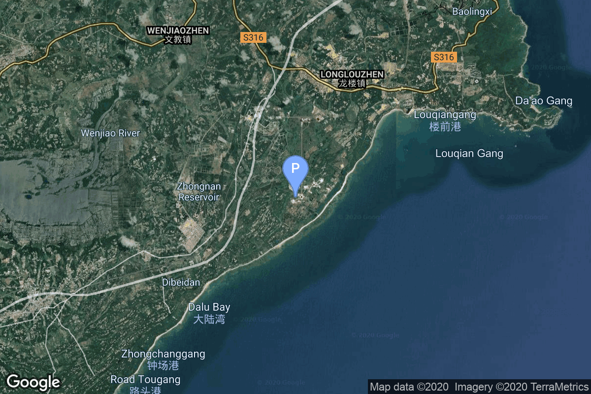
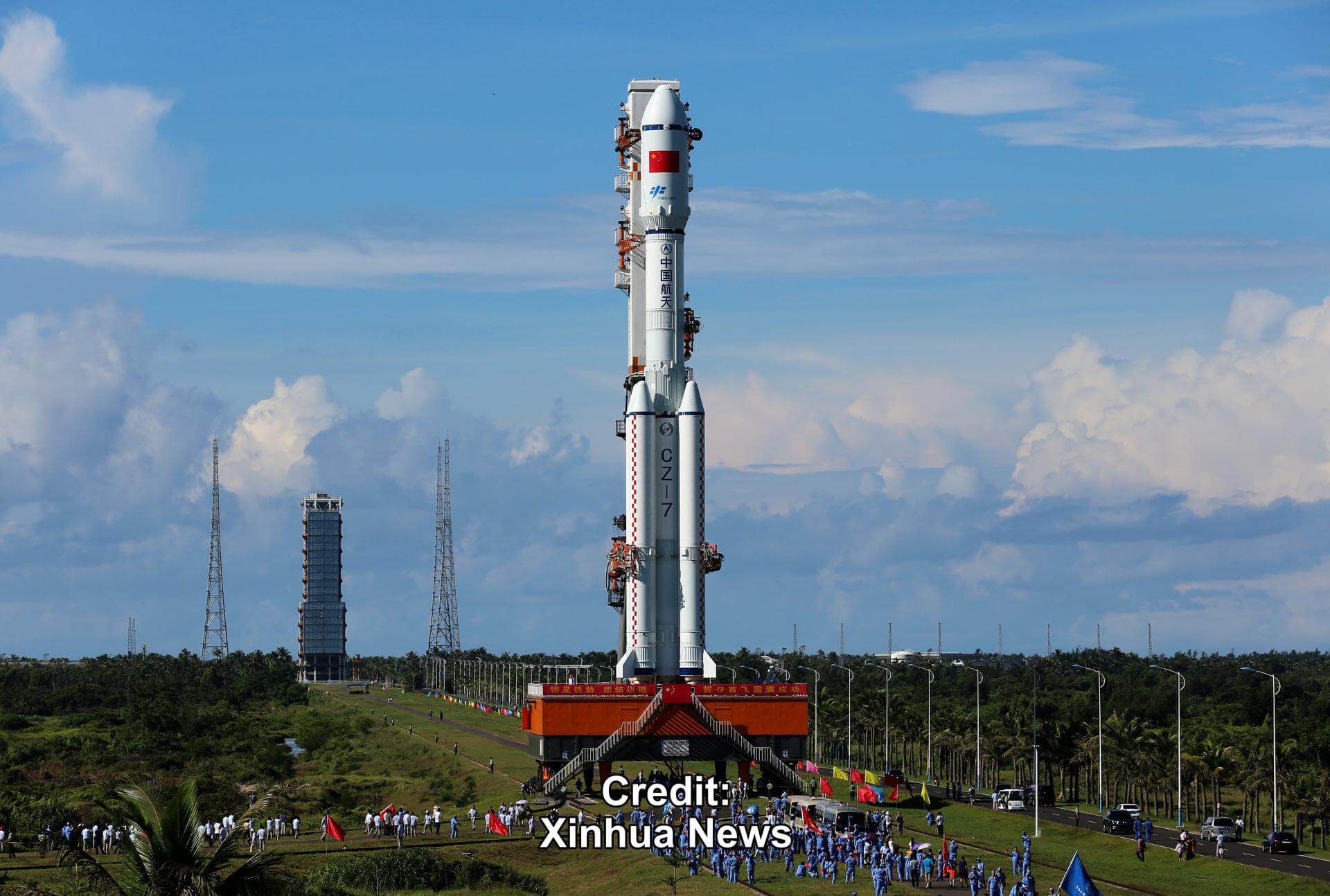
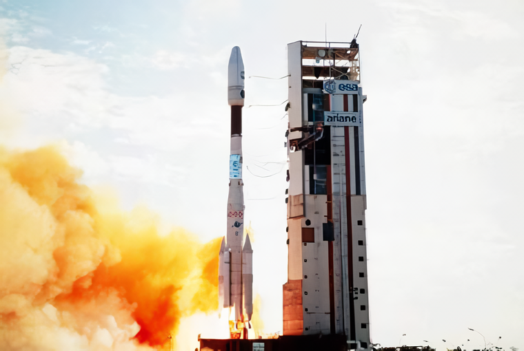
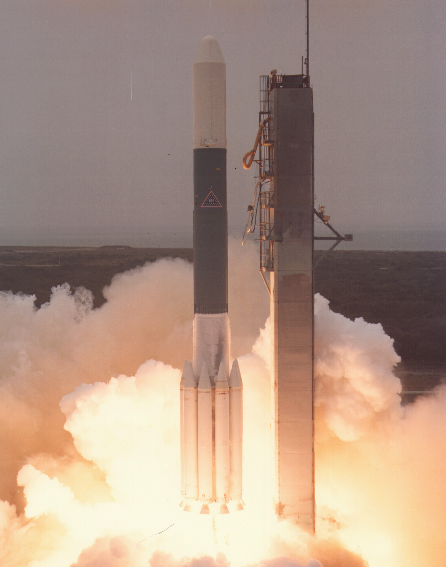
{ "count": 7505, "next": "https://ll.thespacedevs.com/2.0.0/launch/?format=api&limit=10&offset=6710&ordering=-id", "previous": "https://ll.thespacedevs.com/2.0.0/launch/?format=api&limit=10&offset=6690&ordering=-id", "results": [ { "id": "1c2d7f7c-20d1-4764-8be5-f5e651e6724e", "url": "https://ll.thespacedevs.com/2.0.0/launch/1c2d7f7c-20d1-4764-8be5-f5e651e6724e/?format=api", "launch_library_id": null, "slug": "falcon-9-block-5-starlink-group-10-32", "name": "Falcon 9 Block 5 | Starlink Group 10-32", "status": { "id": 2, "name": "TBD" }, "net": "2025-05-28T13:30:00Z", "window_end": "2025-05-28T18:00:00Z", "window_start": "2025-05-28T13:30:00Z", "inhold": false, "tbdtime": true, "tbddate": false, "probability": null, "holdreason": "", "failreason": "", "hashtag": null, "launch_service_provider": { "id": 121, "url": "https://ll.thespacedevs.com/2.0.0/agencies/121/?format=api", "name": "SpaceX", "type": "Commercial" }, "rocket": { "id": 8620, "configuration": { "id": 164, "launch_library_id": 188, "url": "https://ll.thespacedevs.com/2.0.0/config/launcher/164/?format=api", "name": "Falcon 9", "family": "Falcon", "full_name": "Falcon 9 Block 5", "variant": "Block 5" } }, "mission": { "id": 7212, "launch_library_id": null, "name": "Starlink Group 10-32", "description": "A batch of satellites for the Starlink mega-constellation - SpaceX's project for space-based Internet communication system.", "launch_designator": null, "type": "Communications", "orbit": { "id": 8, "name": "Low Earth Orbit", "abbrev": "LEO" } }, "pad": { "id": 87, "url": "https://ll.thespacedevs.com/2.0.0/pad/87/?format=api", "agency_id": 121, "name": "Launch Complex 39A", "info_url": null, "wiki_url": "https://en.wikipedia.org/wiki/Kennedy_Space_Center_Launch_Complex_39#Launch_Pad_39A", "map_url": "https://www.google.com/maps?q=28.60822681,-80.60428186", "latitude": "28.60822681", "longitude": "-80.60428186", "location": { "id": 27, "url": "https://ll.thespacedevs.com/2.0.0/location/27/?format=api", "name": "Kennedy Space Center, FL, USA", "country_code": "USA", "map_image": "https://thespacedevs-prod.nyc3.digitaloceanspaces.com/media/map_images/location_27_20200803142447.jpg", "total_launch_count": 265, "total_landing_count": 0 }, "map_image": "https://thespacedevs-prod.nyc3.digitaloceanspaces.com/media/map_images/pad_87_20200803143537.jpg", "total_launch_count": 207 }, "webcast_live": false, "image": "https://thespacedevs-prod.nyc3.digitaloceanspaces.com/media/images/falcon2520925_image_20221009234147.png", "infographic": null, "program": [ { "id": 25, "url": "https://ll.thespacedevs.com/2.0.0/program/25/?format=api", "name": "Starlink", "description": "Starlink is a satellite internet constellation operated by American aerospace company SpaceX", "agencies": [ { "id": 121, "url": "https://ll.thespacedevs.com/2.0.0/agencies/121/?format=api", "name": "SpaceX", "type": "Commercial" } ], "image_url": "https://thespacedevs-prod.nyc3.digitaloceanspaces.com/media/images/starlink_program_20231228154508.jpeg", "start_date": "2018-02-22T14:17:00Z", "end_date": null, "info_url": "https://starlink.com", "wiki_url": "https://en.wikipedia.org/wiki/Starlink" } ] }, { "id": "1c2b383b-0ac0-458a-9b03-9723c64dd392", "url": "https://ll.thespacedevs.com/2.0.0/launch/1c2b383b-0ac0-458a-9b03-9723c64dd392/?format=api", "launch_library_id": null, "slug": "long-march-7-tianzhou-4", "name": "Long March 7 | Tianzhou-4", "status": { "id": 3, "name": "Success" }, "net": "2022-05-09T17:56:30Z", "window_end": "2022-05-09T18:06:00Z", "window_start": "2022-05-09T17:46:00Z", "inhold": false, "tbdtime": false, "tbddate": false, "probability": null, "holdreason": "", "failreason": "", "hashtag": null, "launch_service_provider": { "id": 88, "url": "https://ll.thespacedevs.com/2.0.0/agencies/88/?format=api", "name": "China Aerospace Science and Technology Corporation", "type": "Government" }, "rocket": { "id": 2865, "configuration": { "id": 100, "launch_library_id": 130, "url": "https://ll.thespacedevs.com/2.0.0/config/launcher/100/?format=api", "name": "Long March 7", "family": "Long March", "full_name": "Long March 7", "variant": "" } }, "mission": { "id": 1281, "launch_library_id": null, "name": "Tianzhou-4", "description": "Third cargo delivery mission to the Chinese large modular space station.", "launch_designator": null, "type": "Resupply", "orbit": { "id": 8, "name": "Low Earth Orbit", "abbrev": "LEO" } }, "pad": { "id": 176, "url": "https://ll.thespacedevs.com/2.0.0/pad/176/?format=api", "agency_id": null, "name": "201", "info_url": null, "wiki_url": "https://en.wikipedia.org/wiki/Wenchang_Spacecraft_Launch_Site", "map_url": "https://www.google.com/maps?q=19.618452,110.955356", "latitude": "19.618452", "longitude": "110.955356", "location": { "id": 8, "url": "https://ll.thespacedevs.com/2.0.0/location/8/?format=api", "name": "Wenchang Space Launch Site, People's Republic of China", "country_code": "CHN", "map_image": "https://thespacedevs-prod.nyc3.digitaloceanspaces.com/media/map_images/location_8_20200803142445.jpg", "total_launch_count": 39, "total_landing_count": 0 }, "map_image": "https://thespacedevs-prod.nyc3.digitaloceanspaces.com/media/map_images/pad_176_20200803143412.jpg", "total_launch_count": 23 }, "webcast_live": false, "image": "https://thespacedevs-prod.nyc3.digitaloceanspaces.com/media/images/long_march_7_image_20210513083007.jpeg", "infographic": null, "program": [ { "id": 19, "url": "https://ll.thespacedevs.com/2.0.0/program/19/?format=api", "name": "Tiangong space station", "description": "The Tiangong space station is a space station placed in Low Earth orbit between 340 and 450 km above the surface.", "agencies": [ { "id": 88, "url": "https://ll.thespacedevs.com/2.0.0/agencies/88/?format=api", "name": "China Aerospace Science and Technology Corporation", "type": "Government" } ], "image_url": "https://thespacedevs-prod.nyc3.digitaloceanspaces.com/media/images/chinese2520spa_program_20210608105528.png", "start_date": "2021-04-29T03:23:00Z", "end_date": null, "info_url": null, "wiki_url": "https://en.wikipedia.org/wiki/Tiangong_space_station" } ] }, { "id": "1c2814fc-5369-4bb5-9763-02c02dbdfafa", "url": "https://ll.thespacedevs.com/2.0.0/launch/1c2814fc-5369-4bb5-9763-02c02dbdfafa/?format=api", "launch_library_id": null, "slug": "ariane-44lp-tv-sat-2", "name": "Ariane 44LP | TV-Sat 2", "status": { "id": 3, "name": "Success" }, "net": "1989-08-08T23:25:53Z", "window_end": "1989-08-08T23:25:53Z", "window_start": "1989-08-08T23:25:53Z", "inhold": false, "tbdtime": false, "tbddate": false, "probability": null, "holdreason": "", "failreason": null, "hashtag": null, "launch_service_provider": { "id": 115, "url": "https://ll.thespacedevs.com/2.0.0/agencies/115/?format=api", "name": "Arianespace", "type": "Commercial" }, "rocket": { "id": 6197, "configuration": { "id": 226, "launch_library_id": null, "url": "https://ll.thespacedevs.com/2.0.0/config/launcher/226/?format=api", "name": "Ariane 44LP", "family": "Ariane", "full_name": "Ariane 44LP", "variant": "44LP" } }, "mission": { "id": 4587, "launch_library_id": null, "name": "TV-Sat 2", "description": "German geostationary communications satellite", "launch_designator": null, "type": "Communications", "orbit": { "id": 1, "name": "Geostationary Orbit", "abbrev": "Direct-GEO" } }, "pad": { "id": 124, "url": "https://ll.thespacedevs.com/2.0.0/pad/124/?format=api", "agency_id": 115, "name": "Ariane Launch Area 2", "info_url": null, "wiki_url": "https://en.wikipedia.org/wiki/ELA-2", "map_url": "https://www.google.com/maps?q=5.232,-52.778194", "latitude": "5.232", "longitude": "-52.778194", "location": { "id": 13, "url": "https://ll.thespacedevs.com/2.0.0/location/13/?format=api", "name": "Guiana Space Centre, French Guiana", "country_code": "GUF", "map_image": "https://thespacedevs-prod.nyc3.digitaloceanspaces.com/media/map_images/location_13_20200803142412.jpg", "total_launch_count": 325, "total_landing_count": 0 }, "map_image": "https://thespacedevs-prod.nyc3.digitaloceanspaces.com/media/map_images/pad_124_20200803143241.jpg", "total_launch_count": 119 }, "webcast_live": false, "image": "https://thespacedevs-prod.nyc3.digitaloceanspaces.com/media/images/ariane_44lp_at__image_20240401083402.png", "infographic": null, "program": [] }, { "id": "1c245b3d-64e9-4820-af54-1a83ae03cd1d", "url": "https://ll.thespacedevs.com/2.0.0/launch/1c245b3d-64e9-4820-af54-1a83ae03cd1d/?format=api", "launch_library_id": null, "slug": "kosmos-3m-parus-88", "name": "Kosmos-3M | Parus 88", "status": { "id": 3, "name": "Success" }, "net": "1997-04-17T13:03:21Z", "window_end": "1997-04-17T13:03:21Z", "window_start": "1997-04-17T13:03:21Z", "inhold": false, "tbdtime": false, "tbddate": false, "probability": null, "holdreason": "", "failreason": null, "hashtag": null, "launch_service_provider": { "id": 154, "url": "https://ll.thespacedevs.com/2.0.0/agencies/154/?format=api", "name": "Production Corporation Polyot", "type": "Commercial" }, "rocket": { "id": 6776, "configuration": { "id": 102, "launch_library_id": 122, "url": "https://ll.thespacedevs.com/2.0.0/config/launcher/102/?format=api", "name": "Kosmos-3M", "family": "Kosmos", "full_name": "Kosmos-3M (11K65M)", "variant": "-3M" } }, "mission": { "id": 5166, "launch_library_id": null, "name": "Parus 88", "description": "Navigation satellite providing location information for the Tsiklon-B navigation system", "launch_designator": null, "type": "Navigation", "orbit": { "id": 8, "name": "Low Earth Orbit", "abbrev": "LEO" } }, "pad": { "id": 28, "url": "https://ll.thespacedevs.com/2.0.0/pad/28/?format=api", "agency_id": 163, "name": "132/1 (132L)", "info_url": null, "wiki_url": "", "map_url": "https://www.google.com/maps?q=62.883229,40.868549", "latitude": "62.883229", "longitude": "40.868549", "location": { "id": 6, "url": "https://ll.thespacedevs.com/2.0.0/location/6/?format=api", "name": "Plesetsk Cosmodrome, Russian Federation", "country_code": "RUS", "map_image": "https://thespacedevs-prod.nyc3.digitaloceanspaces.com/media/map_images/location_6_20200803142434.jpg", "total_launch_count": 1674, "total_landing_count": 0 }, "map_image": "https://thespacedevs-prod.nyc3.digitaloceanspaces.com/media/map_images/pad_28_20200803143254.jpg", "total_launch_count": 212 }, "webcast_live": false, "image": null, "infographic": null, "program": [] }, { "id": "1c232618-eb1e-425a-9232-8357bd2f2c53", "url": "https://ll.thespacedevs.com/2.0.0/launch/1c232618-eb1e-425a-9232-8357bd2f2c53/?format=api", "launch_library_id": null, "slug": "scout-g-1-msti-1", "name": "Scout G-1 | MSTI-1", "status": { "id": 3, "name": "Success" }, "net": "1992-11-21T13:45:00Z", "window_end": "1992-11-21T13:45:00Z", "window_start": "1992-11-21T13:45:00Z", "inhold": false, "tbdtime": false, "tbddate": false, "probability": null, "holdreason": "", "failreason": null, "hashtag": null, "launch_service_provider": { "id": 161, "url": "https://ll.thespacedevs.com/2.0.0/agencies/161/?format=api", "name": "United States Air Force", "type": "Government" }, "rocket": { "id": 6481, "configuration": { "id": 363, "launch_library_id": null, "url": "https://ll.thespacedevs.com/2.0.0/config/launcher/363/?format=api", "name": "Scout G-1", "family": "Scout", "full_name": "Scout G-1", "variant": "G-1" } }, "mission": { "id": 4871, "launch_library_id": null, "name": "MSTI-1", "description": "MSTI 1 (Miniature Sensor Technology Integration 1) had a four day mission to photograph infrared images of islands in the eastern Pacific Ocean.", "launch_designator": null, "type": "Earth Science", "orbit": { "id": 8, "name": "Low Earth Orbit", "abbrev": "LEO" } }, "pad": { "id": 154, "url": "https://ll.thespacedevs.com/2.0.0/pad/154/?format=api", "agency_id": null, "name": "Space Launch Complex 5", "info_url": "http://www.astronautix.com/v/vandenbergslc5.html", "wiki_url": "https://en.wikipedia.org/wiki/Vandenberg_Air_Force_Base_Space_Launch_Complex_5", "map_url": "https://www.google.com/maps?q=34.6080,-120.6247", "latitude": "34.608", "longitude": "-120.6247", "location": { "id": 11, "url": "https://ll.thespacedevs.com/2.0.0/location/11/?format=api", "name": "Vandenberg SFB, CA, USA", "country_code": "USA", "map_image": "https://thespacedevs-prod.nyc3.digitaloceanspaces.com/media/map_images/location_11_20200803142416.jpg", "total_launch_count": 807, "total_landing_count": 26 }, "map_image": "https://thespacedevs-prod.nyc3.digitaloceanspaces.com/media/map_images/pad_154_20200803143408.jpg", "total_launch_count": 69 }, "webcast_live": false, "image": null, "infographic": null, "program": [] }, { "id": "1c1cca56-0b54-4612-9c84-1bfd3f2ac4d0", "url": "https://ll.thespacedevs.com/2.0.0/launch/1c1cca56-0b54-4612-9c84-1bfd3f2ac4d0/?format=api", "launch_library_id": null, "slug": "delta-3914-goes-g", "name": "Delta 3914 | GOES G", "status": { "id": 4, "name": "Failure" }, "net": "1986-05-03T22:18:00Z", "window_end": "1986-05-03T22:18:00Z", "window_start": "1986-05-03T22:18:00Z", "inhold": false, "tbdtime": false, "tbddate": false, "probability": null, "holdreason": "", "failreason": null, "hashtag": null, "launch_service_provider": { "id": 161, "url": "https://ll.thespacedevs.com/2.0.0/agencies/161/?format=api", "name": "United States Air Force", "type": "Government" }, "rocket": { "id": 5852, "configuration": { "id": 291, "launch_library_id": null, "url": "https://ll.thespacedevs.com/2.0.0/config/launcher/291/?format=api", "name": "Delta 3914", "family": "Delta", "full_name": "Delta 3914", "variant": "3914" } }, "mission": { "id": 4250, "launch_library_id": null, "name": "GOES G", "description": "Geostationary meteorological satellite", "launch_designator": null, "type": "Earth Science", "orbit": { "id": 1, "name": "Geostationary Orbit", "abbrev": "Direct-GEO" } }, "pad": { "id": 14, "url": "https://ll.thespacedevs.com/2.0.0/pad/14/?format=api", "agency_id": null, "name": "Space Launch Complex 17A", "info_url": null, "wiki_url": "https://en.wikipedia.org/wiki/Cape_Canaveral_Space_Launch_Complex_17", "map_url": "https://www.google.com/maps?q=28.4472,-80.565", "latitude": "28.4472", "longitude": "-80.565", "location": { "id": 12, "url": "https://ll.thespacedevs.com/2.0.0/location/12/?format=api", "name": "Cape Canaveral SFS, FL, USA", "country_code": "USA", "map_image": "https://thespacedevs-prod.nyc3.digitaloceanspaces.com/media/map_images/location_12_20200803142519.jpg", "total_launch_count": 1024, "total_landing_count": 64 }, "map_image": "https://thespacedevs-prod.nyc3.digitaloceanspaces.com/media/map_images/pad_14_20200803143451.jpg", "total_launch_count": 145 }, "webcast_live": false, "image": "https://thespacedevs-prod.nyc3.digitaloceanspaces.com/media/images/delta_3910_image_20231231105538.jpeg", "infographic": null, "program": [ { "id": 37, "url": "https://ll.thespacedevs.com/2.0.0/program/37/?format=api", "name": "Geostationary Operational Environmental Satellite", "description": "The Geostationary Operational Environmental Satellite (GOES), operated by the United States' National Oceanic and Atmospheric Administration (NOAA)'s National Environmental Satellite, Data, and Information Service division, supports weather forecasting, severe storm tracking, and meteorology research", "agencies": [ { "id": 44, "url": "https://ll.thespacedevs.com/2.0.0/agencies/44/?format=api", "name": "National Aeronautics and Space Administration", "type": "Government" }, { "id": 210, "url": "https://ll.thespacedevs.com/2.0.0/agencies/210/?format=api", "name": "National Oceanic and Atmospheric Administration", "type": "Government" } ], "image_url": "https://thespacedevs-prod.nyc3.digitaloceanspaces.com/media/images/goes-u_render_image_20240623151909.jpg", "start_date": "1975-10-16T22:40:00Z", "end_date": null, "info_url": null, "wiki_url": "https://en.wikipedia.org/wiki/Geostationary_Operational_Environmental_Satellite" } ] }, { "id": "1c1b54ab-afdc-47fb-91e1-2867d5d79d8c", "url": "https://ll.thespacedevs.com/2.0.0/launch/1c1b54ab-afdc-47fb-91e1-2867d5d79d8c/?format=api", "launch_library_id": null, "slug": "voskhod-zenit-4-50", "name": "Voskhod | Zenit-4 50", "status": { "id": 3, "name": "Success" }, "net": "1968-11-21T12:10:01Z", "window_end": "1968-11-21T12:10:01Z", "window_start": "1968-11-21T12:10:01Z", "inhold": false, "tbdtime": false, "tbddate": false, "probability": null, "holdreason": "", "failreason": null, "hashtag": null, "launch_service_provider": { "id": 66, "url": "https://ll.thespacedevs.com/2.0.0/agencies/66/?format=api", "name": "Soviet Space Program", "type": "Government" }, "rocket": { "id": 3845, "configuration": { "id": 104, "launch_library_id": 138, "url": "https://ll.thespacedevs.com/2.0.0/config/launcher/104/?format=api", "name": "Voskhod", "family": "R-7", "full_name": "Voskhod", "variant": "Voskhod" } }, "mission": { "id": 2263, "launch_library_id": null, "name": "Zenit-4 50", "description": "Zenit-4 film-return reconnaissance satellite.", "launch_designator": null, "type": "Government/Top Secret", "orbit": { "id": 8, "name": "Low Earth Orbit", "abbrev": "LEO" } }, "pad": { "id": 168, "url": "https://ll.thespacedevs.com/2.0.0/pad/168/?format=api", "agency_id": null, "name": "41/1", "info_url": null, "wiki_url": "https://en.wikipedia.org/wiki/Plesetsk_Cosmodrome", "map_url": "https://www.google.com/maps?q=62.941,40.526806", "latitude": "62.941", "longitude": "40.526806", "location": { "id": 6, "url": "https://ll.thespacedevs.com/2.0.0/location/6/?format=api", "name": "Plesetsk Cosmodrome, Russian Federation", "country_code": "RUS", "map_image": "https://thespacedevs-prod.nyc3.digitaloceanspaces.com/media/map_images/location_6_20200803142434.jpg", "total_launch_count": 1674, "total_landing_count": 0 }, "map_image": "https://thespacedevs-prod.nyc3.digitaloceanspaces.com/media/map_images/pad_168_20200803143446.jpg", "total_launch_count": 310 }, "webcast_live": false, "image": null, "infographic": null, "program": [] }, { "id": "1c09bb7e-5d7c-4ca7-a4a8-81db7004c66f", "url": "https://ll.thespacedevs.com/2.0.0/launch/1c09bb7e-5d7c-4ca7-a4a8-81db7004c66f/?format=api", "launch_library_id": null, "slug": "long-march-2d-yaogan-39-group-02", "name": "Long March 2D | Yaogan 39 Group 02", "status": { "id": 3, "name": "Success" }, "net": "2023-09-17T04:13:00Z", "window_end": "2023-09-17T04:27:00Z", "window_start": "2023-09-17T04:05:00Z", "inhold": false, "tbdtime": false, "tbddate": false, "probability": null, "holdreason": "", "failreason": "", "hashtag": null, "launch_service_provider": { "id": 88, "url": "https://ll.thespacedevs.com/2.0.0/agencies/88/?format=api", "name": "China Aerospace Science and Technology Corporation", "type": "Government" }, "rocket": { "id": 8019, "configuration": { "id": 17, "launch_library_id": 73, "url": "https://ll.thespacedevs.com/2.0.0/config/launcher/17/?format=api", "name": "Long March 2D", "family": "Long March", "full_name": "Long March 2D", "variant": "2D" } }, "mission": { "id": 6559, "launch_library_id": null, "name": "Yaogan 39 Group 02", "description": "Chinese reconnaissance satellites.", "launch_designator": null, "type": "Government/Top Secret", "orbit": { "id": 8, "name": "Low Earth Orbit", "abbrev": "LEO" } }, "pad": { "id": 66, "url": "https://ll.thespacedevs.com/2.0.0/pad/66/?format=api", "agency_id": 17, "name": "Launch Complex 3 (LC-3/LA-1)", "info_url": null, "wiki_url": "https://en.wikipedia.org/wiki/Xichang_Satellite_Launch_Center", "map_url": "https://www.google.com/maps?q=28.247209,102.02917", "latitude": "28.247209", "longitude": "102.02917", "location": { "id": 16, "url": "https://ll.thespacedevs.com/2.0.0/location/16/?format=api", "name": "Xichang Satellite Launch Center, People's Republic of China", "country_code": "CHN", "map_image": "https://thespacedevs-prod.nyc3.digitaloceanspaces.com/media/map_images/location_16_20200803142513.jpg", "total_launch_count": 225, "total_landing_count": 0 }, "map_image": "https://thespacedevs-prod.nyc3.digitaloceanspaces.com/media/map_images/pad_66_20200803143611.jpg", "total_launch_count": 100 }, "webcast_live": false, "image": "https://thespacedevs-prod.nyc3.digitaloceanspaces.com/media/images/long2520march_image_20230917072451.jpg", "infographic": null, "program": [] }, { "id": "1c099ba2-9b8f-4364-8ba0-0c26f7993dd5", "url": "https://ll.thespacedevs.com/2.0.0/launch/1c099ba2-9b8f-4364-8ba0-0c26f7993dd5/?format=api", "launch_library_id": null, "slug": "falcon-9-block-5-starlink-group-6-18", "name": "Falcon 9 Block 5 | Starlink Group 6-18", "status": { "id": 3, "name": "Success" }, "net": "2023-09-24T03:38:30Z", "window_end": "2023-09-24T04:05:30Z", "window_start": "2023-09-24T01:07:00Z", "inhold": false, "tbdtime": false, "tbddate": false, "probability": 95, "holdreason": "", "failreason": "", "hashtag": null, "launch_service_provider": { "id": 121, "url": "https://ll.thespacedevs.com/2.0.0/agencies/121/?format=api", "name": "SpaceX", "type": "Commercial" }, "rocket": { "id": 7870, "configuration": { "id": 164, "launch_library_id": 188, "url": "https://ll.thespacedevs.com/2.0.0/config/launcher/164/?format=api", "name": "Falcon 9", "family": "Falcon", "full_name": "Falcon 9 Block 5", "variant": "Block 5" } }, "mission": { "id": 6378, "launch_library_id": null, "name": "Starlink Group 6-18", "description": "A batch of 22 satellites for the Starlink mega-constellation - SpaceX's project for space-based Internet communication system.", "launch_designator": null, "type": "Communications", "orbit": { "id": 8, "name": "Low Earth Orbit", "abbrev": "LEO" } }, "pad": { "id": 80, "url": "https://ll.thespacedevs.com/2.0.0/pad/80/?format=api", "agency_id": 121, "name": "Space Launch Complex 40", "info_url": null, "wiki_url": "https://en.wikipedia.org/wiki/Cape_Canaveral_Air_Force_Station_Space_Launch_Complex_40", "map_url": "https://www.google.com/maps?q=28.56194122,-80.57735736", "latitude": "28.56194122", "longitude": "-80.57735736", "location": { "id": 12, "url": "https://ll.thespacedevs.com/2.0.0/location/12/?format=api", "name": "Cape Canaveral SFS, FL, USA", "country_code": "USA", "map_image": "https://thespacedevs-prod.nyc3.digitaloceanspaces.com/media/map_images/location_12_20200803142519.jpg", "total_launch_count": 1024, "total_landing_count": 64 }, "map_image": "https://thespacedevs-prod.nyc3.digitaloceanspaces.com/media/map_images/pad_80_20200803143323.jpg", "total_launch_count": 308 }, "webcast_live": false, "image": "https://thespacedevs-prod.nyc3.digitaloceanspaces.com/media/images/falcon2520925_image_20221009234147.png", "infographic": null, "program": [ { "id": 25, "url": "https://ll.thespacedevs.com/2.0.0/program/25/?format=api", "name": "Starlink", "description": "Starlink is a satellite internet constellation operated by American aerospace company SpaceX", "agencies": [ { "id": 121, "url": "https://ll.thespacedevs.com/2.0.0/agencies/121/?format=api", "name": "SpaceX", "type": "Commercial" } ], "image_url": "https://thespacedevs-prod.nyc3.digitaloceanspaces.com/media/images/starlink_program_20231228154508.jpeg", "start_date": "2018-02-22T14:17:00Z", "end_date": null, "info_url": "https://starlink.com", "wiki_url": "https://en.wikipedia.org/wiki/Starlink" } ] }, { "id": "1c040590-5157-4850-86e2-f878dd7d49d4", "url": "https://ll.thespacedevs.com/2.0.0/launch/1c040590-5157-4850-86e2-f878dd7d49d4/?format=api", "launch_library_id": null, "slug": "lvm-3-bluebird-block-2-1", "name": "LVM-3 | BlueBird Block 2 #1", "status": { "id": 2, "name": "TBD" }, "net": "2025-07-31T00:00:00Z", "window_end": "2025-07-31T00:00:00Z", "window_start": "2025-07-31T00:00:00Z", "inhold": false, "tbdtime": true, "tbddate": true, "probability": null, "holdreason": "", "failreason": "", "hashtag": null, "launch_service_provider": { "id": 31, "url": "https://ll.thespacedevs.com/2.0.0/agencies/31/?format=api", "name": "Indian Space Research Organization", "type": "Government" }, "rocket": { "id": 8407, "configuration": { "id": 172, "launch_library_id": 85, "url": "https://ll.thespacedevs.com/2.0.0/config/launcher/172/?format=api", "name": "LVM-3 (GSLV Mk III)", "family": "GSLV", "full_name": "Launch Vehicle Mark-3 (GSLV Mk III)", "variant": "" } }, "mission": { "id": 6995, "launch_library_id": null, "name": "BlueBird Block 2 #1", "description": "AST SpaceMobile’s Block 2 BlueBird satellites are designed to deliver up to 10 times the bandwidth capacity of the BlueBird Block 1 satellites, required to achieve 24/7 continuous cellular broadband service coverage in the United States, with beams designed to support a capacity of up to 40 MHz, enabling peak data transmission speeds up to 120 Mbps, supporting voice, full data and video applications. The Block 2 BlueBirds, featuring as large as 2400 square foot communications arrays, will be the largest satellites ever commercially deployed in Low Earth orbit once launched.\r\n\r\nThis launch will feature a single satellite.", "launch_designator": null, "type": "Communications", "orbit": { "id": 8, "name": "Low Earth Orbit", "abbrev": "LEO" } }, "pad": { "id": 82, "url": "https://ll.thespacedevs.com/2.0.0/pad/82/?format=api", "agency_id": 31, "name": "Satish Dhawan Space Centre Second Launch Pad", "info_url": null, "wiki_url": "https://en.wikipedia.org/wiki/Satish_Dhawan_Space_Centre_Second_Launch_Pad", "map_url": "https://www.google.com/maps?q=13.7199,80.2304", "latitude": "13.7199", "longitude": "80.2304", "location": { "id": 14, "url": "https://ll.thespacedevs.com/2.0.0/location/14/?format=api", "name": "Satish Dhawan Space Centre, India", "country_code": "IND", "map_image": "https://thespacedevs-prod.nyc3.digitaloceanspaces.com/media/map_images/location_14_20200803142403.jpg", "total_launch_count": 99, "total_landing_count": 0 }, "map_image": "https://thespacedevs-prod.nyc3.digitaloceanspaces.com/media/map_images/pad_82_20200803143602.jpg", "total_launch_count": 29 }, "webcast_live": false, "image": "https://thespacedevs-prod.nyc3.digitaloceanspaces.com/media/images/gslv2520mk2520iii_image_20190604000938.jpg", "infographic": null, "program": [] } ] }