Launch List
API endpoint that returns all Launch objects or a single launch.
EXAMPLE - /launch/
GET: Return a list of all Launch objects.
FILTERS: Fields - 'name', 'id(s)', 'lsp_id', 'lsp_name', 'serial_number', 'launcher_config__id', 'rocket__spacecraftflight__spacecraft__name'
MODE: 'normal', 'list', 'detailed' EXAMPLE: ?mode=list
SEARCH: Searches through the launch name, rocket name, launch agency, mission name & spacecraft name. EXAMPLE - ?search=SpaceX
GET /2.0.0/launch/?format=api&offset=6640&ordering=-name
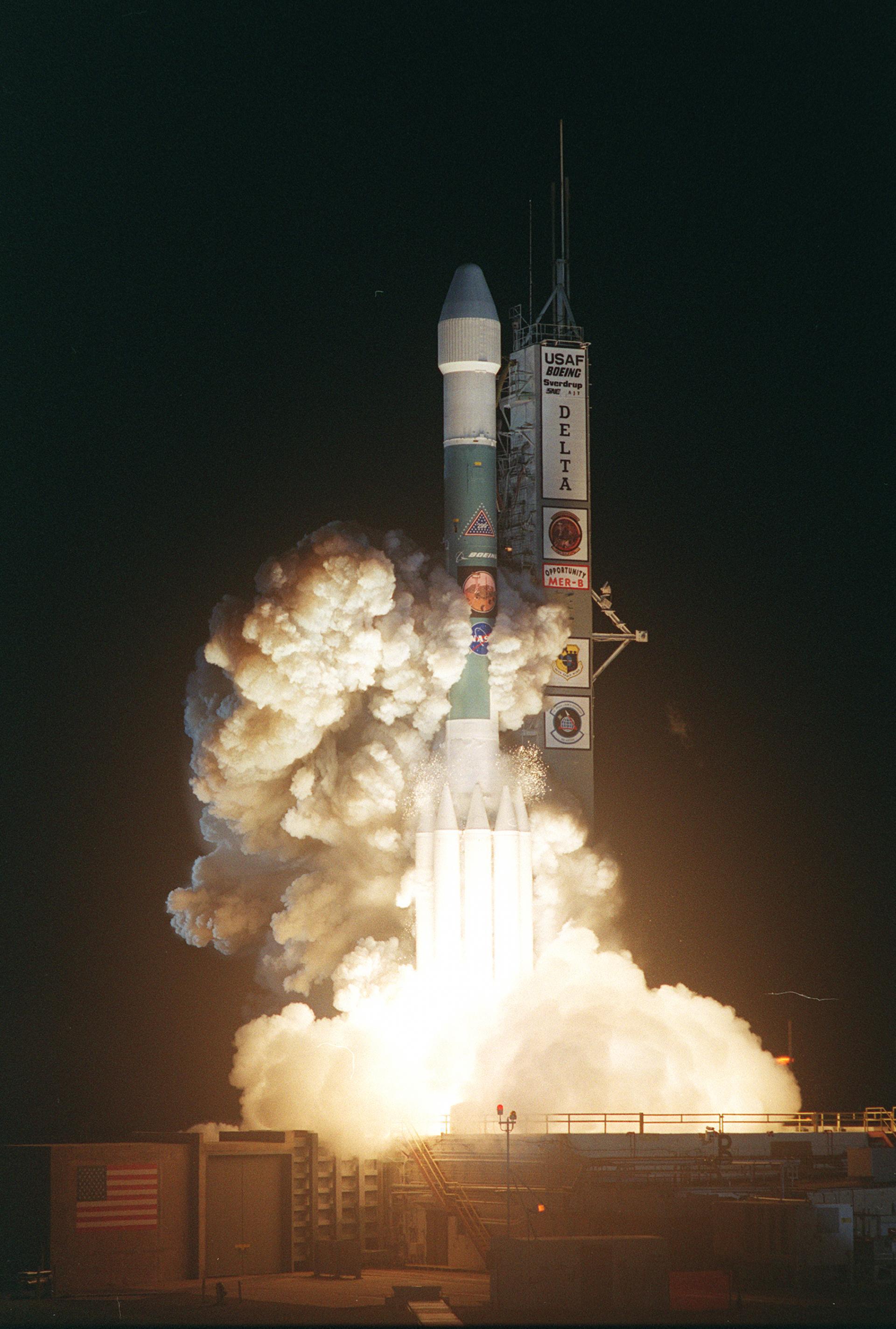
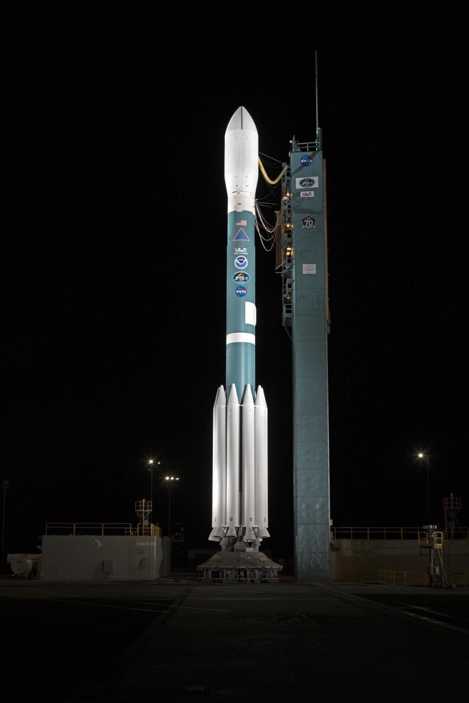
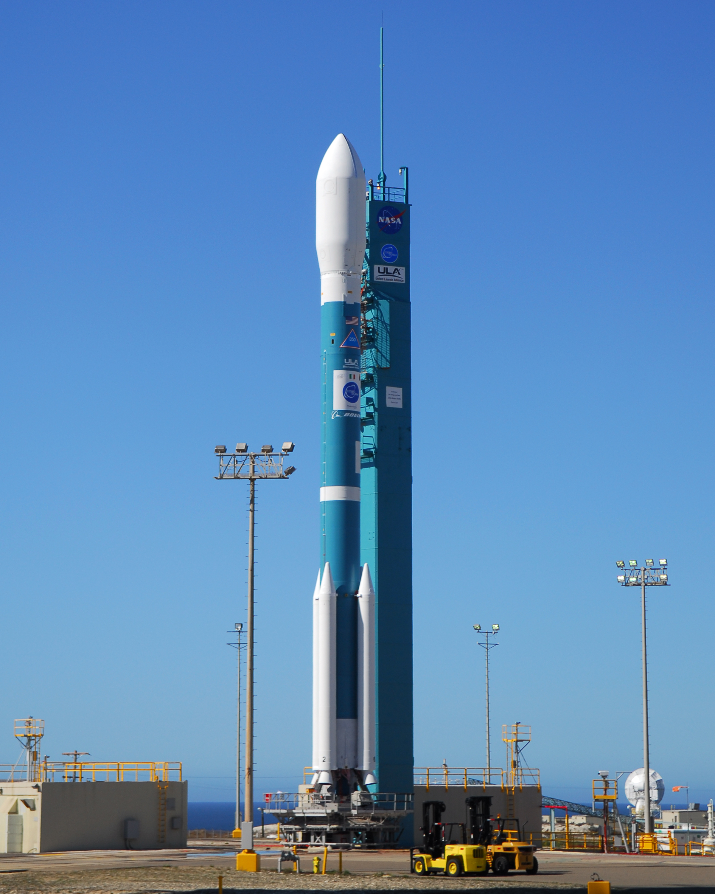
{ "count": 7639, "next": "https://ll.thespacedevs.com/2.0.0/launch/?format=api&limit=10&offset=6650&ordering=-name", "previous": "https://ll.thespacedevs.com/2.0.0/launch/?format=api&limit=10&offset=6630&ordering=-name", "results": [ { "id": "c19cfbc9-99a6-4423-86da-1b8e381fa854", "url": "https://ll.thespacedevs.com/2.0.0/launch/c19cfbc9-99a6-4423-86da-1b8e381fa854/?format=api", "launch_library_id": 901, "slug": "delta-ii-7920-10-jpss-1-joint-polar-satellite-syst", "name": "Delta II 7920-10 | JPSS 1 (Joint Polar Satellite System spacecraft No. 1)", "status": { "id": 3, "name": "Success" }, "net": "2017-11-18T09:47:36Z", "window_end": "2017-11-18T09:48:09Z", "window_start": "2017-11-18T09:47:03Z", "inhold": false, "tbdtime": false, "tbddate": false, "probability": 100, "holdreason": "", "failreason": "", "hashtag": null, "launch_service_provider": { "id": 124, "url": "https://ll.thespacedevs.com/2.0.0/agencies/124/?format=api", "name": "United Launch Alliance", "type": "Commercial" }, "rocket": { "id": 2046, "configuration": { "id": 75, "launch_library_id": 112, "url": "https://ll.thespacedevs.com/2.0.0/config/launcher/75/?format=api", "name": "Delta II", "family": "Delta", "full_name": "Delta II 7920-10", "variant": "7920-10" } }, "mission": { "id": 128, "launch_library_id": 210, "name": "JPSS 1 (Joint Polar Satellite System spacecraft No. 1)", "description": "From a 512-mile orbit, tilted 98.7 degrees to the equator and traveling pole-to-pole, the craft will provide imagery, atmospheric temperature and humidity profiles, and land and ocean surface temperature observations, all of which are key ingredients for weather forecasting. In addition, the satellite will measure ozone levels and reflected solar radiation from the planet.JPSS 1 will survey the entire globe twice per day with five sensor packages.The satellite will replace the existing Suomi NPP spacecraft that launched in 2011 for a five-year mission as a gapfiller between NOAA’s legacy weather satellite constellation and the new JPSS generation.", "launch_designator": null, "type": "Earth Science", "orbit": { "id": 17, "name": "Sun-Synchronous Orbit", "abbrev": "SSO" } }, "pad": { "id": 39, "url": "https://ll.thespacedevs.com/2.0.0/pad/39/?format=api", "agency_id": null, "name": "Space Launch Complex 2W", "info_url": null, "wiki_url": "https://en.wikipedia.org/wiki/Vandenberg_Space_Launch_Complex_2", "map_url": "https://www.google.com/maps?q=34.7556,-120.6224", "latitude": "34.7556", "longitude": "-120.6224", "location": { "id": 11, "url": "https://ll.thespacedevs.com/2.0.0/location/11/?format=api", "name": "Vandenberg SFB, CA, USA", "country_code": "USA", "map_image": "https://thespacedevs-prod.nyc3.digitaloceanspaces.com/media/map_images/location_11_20200803142416.jpg", "total_launch_count": 835, "total_landing_count": 29 }, "map_image": "https://thespacedevs-prod.nyc3.digitaloceanspaces.com/media/map_images/pad_39_20200803143542.jpg", "total_launch_count": 98 }, "webcast_live": false, "image": "https://thespacedevs-prod.nyc3.digitaloceanspaces.com/media/images/delta2520ii_image_20190222030358.jpeg", "infographic": null, "program": [ { "id": 36, "url": "https://ll.thespacedevs.com/2.0.0/program/36/?format=api", "name": "NASA Large Strategic Science Missions", "description": "NASA's large strategic science missions or large strategic missions, formerly known as Flagship missions or Flagship-class missions, are the costliest and most capable NASA science spacecraft. Flagship missions exist within all four divisions of NASA's Science Mission Directorate (SMD): the astrophysics, Earth science, heliophysics and planetary science divisions.", "agencies": [ { "id": 44, "url": "https://ll.thespacedevs.com/2.0.0/agencies/44/?format=api", "name": "National Aeronautics and Space Administration", "type": "Government" } ], "image_url": "https://thespacedevs-prod.nyc3.digitaloceanspaces.com/media/images/nasa2520large_program_20240205122003.jpeg", "start_date": "1975-08-22T00:00:00Z", "end_date": null, "info_url": null, "wiki_url": "https://en.wikipedia.org/wiki/Large_strategic_science_missions" } ] }, { "id": "a7550f52-cc8e-442a-ad9b-f31994362bd0", "url": "https://ll.thespacedevs.com/2.0.0/launch/a7550f52-cc8e-442a-ad9b-f31994362bd0/?format=api", "launch_library_id": 1555, "slug": "delta-ii-7920-10c-worldview-2", "name": "Delta II 7920-10C | WorldView-2", "status": { "id": 3, "name": "Success" }, "net": "2009-10-08T18:51:01Z", "window_end": "2009-10-08T18:51:01Z", "window_start": "2009-10-08T18:51:01Z", "inhold": false, "tbdtime": false, "tbddate": false, "probability": null, "holdreason": "", "failreason": "", "hashtag": null, "launch_service_provider": { "id": 124, "url": "https://ll.thespacedevs.com/2.0.0/agencies/124/?format=api", "name": "United Launch Alliance", "type": "Commercial" }, "rocket": { "id": 1431, "configuration": { "id": 99, "launch_library_id": 132, "url": "https://ll.thespacedevs.com/2.0.0/config/launcher/99/?format=api", "name": "Delta II", "family": "Delta", "full_name": "Delta II 7920-10C", "variant": "7920-10C" } }, "mission": { "id": 542, "launch_library_id": 712, "name": "WorldView-2", "description": "A commercial earth observation satellite owned by DigitalGlobe.", "launch_designator": null, "type": "Earth Science", "orbit": { "id": 8, "name": "Low Earth Orbit", "abbrev": "LEO" } }, "pad": { "id": 39, "url": "https://ll.thespacedevs.com/2.0.0/pad/39/?format=api", "agency_id": null, "name": "Space Launch Complex 2W", "info_url": null, "wiki_url": "https://en.wikipedia.org/wiki/Vandenberg_Space_Launch_Complex_2", "map_url": "https://www.google.com/maps?q=34.7556,-120.6224", "latitude": "34.7556", "longitude": "-120.6224", "location": { "id": 11, "url": "https://ll.thespacedevs.com/2.0.0/location/11/?format=api", "name": "Vandenberg SFB, CA, USA", "country_code": "USA", "map_image": "https://thespacedevs-prod.nyc3.digitaloceanspaces.com/media/map_images/location_11_20200803142416.jpg", "total_launch_count": 835, "total_landing_count": 29 }, "map_image": "https://thespacedevs-prod.nyc3.digitaloceanspaces.com/media/map_images/pad_39_20200803143542.jpg", "total_launch_count": 98 }, "webcast_live": false, "image": "https://thespacedevs-prod.nyc3.digitaloceanspaces.com/media/images/delta2520ii_image_20190222030612.jpeg", "infographic": null, "program": [] }, { "id": "b0c5fb22-0636-4819-b041-eafa02ffb189", "url": "https://ll.thespacedevs.com/2.0.0/launch/b0c5fb22-0636-4819-b041-eafa02ffb189/?format=api", "launch_library_id": 1554, "slug": "delta-ii-7920-10c-stss-demogmd", "name": "Delta II 7920-10C | STSS-DEMO/GMD", "status": { "id": 3, "name": "Success" }, "net": "2009-09-25T12:20:00Z", "window_end": "2009-09-25T12:20:00Z", "window_start": "2009-09-25T12:20:00Z", "inhold": false, "tbdtime": false, "tbddate": false, "probability": 0, "holdreason": "", "failreason": "", "hashtag": "", "launch_service_provider": { "id": 124, "url": "https://ll.thespacedevs.com/2.0.0/agencies/124/?format=api", "name": "United Launch Alliance", "type": "Commercial" }, "rocket": { "id": 1428, "configuration": { "id": 99, "launch_library_id": 132, "url": "https://ll.thespacedevs.com/2.0.0/config/launcher/99/?format=api", "name": "Delta II", "family": "Delta", "full_name": "Delta II 7920-10C", "variant": "7920-10C" } }, "mission": { "id": 567, "launch_library_id": 711, "name": "STSS-DEMO/GMD", "description": "A satellite to demonstrate new technology for missile detection early wanring systems. Used in later operation capacities.", "launch_designator": null, "type": "Government/Top Secret", "orbit": { "id": 8, "name": "Low Earth Orbit", "abbrev": "LEO" } }, "pad": { "id": 1, "url": "https://ll.thespacedevs.com/2.0.0/pad/1/?format=api", "agency_id": null, "name": "Space Launch Complex 17B", "info_url": null, "wiki_url": "https://en.wikipedia.org/wiki/Cape_Canaveral_Space_Launch_Complex_17", "map_url": "https://www.google.com/maps?q=28.4458,-80.5657", "latitude": "28.4458", "longitude": "-80.5657", "location": { "id": 12, "url": "https://ll.thespacedevs.com/2.0.0/location/12/?format=api", "name": "Cape Canaveral SFS, FL, USA", "country_code": "USA", "map_image": "https://thespacedevs-prod.nyc3.digitaloceanspaces.com/media/map_images/location_12_20200803142519.jpg", "total_launch_count": 1056, "total_landing_count": 68 }, "map_image": "https://thespacedevs-prod.nyc3.digitaloceanspaces.com/media/map_images/pad_1_20200803143208.jpg", "total_launch_count": 132 }, "webcast_live": false, "image": "https://thespacedevs-prod.nyc3.digitaloceanspaces.com/media/images/delta2520ii_image_20190222030612.jpeg", "infographic": null, "program": [] }, { "id": "b7d6bfa8-b555-4770-9fee-cae04832adcd", "url": "https://ll.thespacedevs.com/2.0.0/launch/b7d6bfa8-b555-4770-9fee-cae04832adcd/?format=api", "launch_library_id": 1551, "slug": "delta-ii-7920-10c-stss-atrrgmd-usa-205", "name": "Delta II 7920-10C | STSS-ATRR/GMD (USA-205)", "status": { "id": 3, "name": "Success" }, "net": "2009-05-05T20:24:26Z", "window_end": "2009-05-05T20:24:26Z", "window_start": "2009-05-05T20:24:26Z", "inhold": false, "tbdtime": false, "tbddate": false, "probability": null, "holdreason": "", "failreason": "", "hashtag": null, "launch_service_provider": { "id": 124, "url": "https://ll.thespacedevs.com/2.0.0/agencies/124/?format=api", "name": "United Launch Alliance", "type": "Commercial" }, "rocket": { "id": 1415, "configuration": { "id": 99, "launch_library_id": 132, "url": "https://ll.thespacedevs.com/2.0.0/config/launcher/99/?format=api", "name": "Delta II", "family": "Delta", "full_name": "Delta II 7920-10C", "variant": "7920-10C" } }, "mission": { "id": 565, "launch_library_id": 708, "name": "STSS-ATRR/GMD (USA-205)", "description": "A satellite to demonstrate new technology for missile detection early wanring systems. Used in later operation capacities.", "launch_designator": null, "type": "Government/Top Secret", "orbit": { "id": 8, "name": "Low Earth Orbit", "abbrev": "LEO" } }, "pad": { "id": 39, "url": "https://ll.thespacedevs.com/2.0.0/pad/39/?format=api", "agency_id": null, "name": "Space Launch Complex 2W", "info_url": null, "wiki_url": "https://en.wikipedia.org/wiki/Vandenberg_Space_Launch_Complex_2", "map_url": "https://www.google.com/maps?q=34.7556,-120.6224", "latitude": "34.7556", "longitude": "-120.6224", "location": { "id": 11, "url": "https://ll.thespacedevs.com/2.0.0/location/11/?format=api", "name": "Vandenberg SFB, CA, USA", "country_code": "USA", "map_image": "https://thespacedevs-prod.nyc3.digitaloceanspaces.com/media/map_images/location_11_20200803142416.jpg", "total_launch_count": 835, "total_landing_count": 29 }, "map_image": "https://thespacedevs-prod.nyc3.digitaloceanspaces.com/media/map_images/pad_39_20200803143542.jpg", "total_launch_count": 98 }, "webcast_live": false, "image": "https://thespacedevs-prod.nyc3.digitaloceanspaces.com/media/images/delta2520ii_image_20190222030612.jpeg", "infographic": null, "program": [] }, { "id": "dbfab798-b3cf-41ae-a60c-86caf5b7119d", "url": "https://ll.thespacedevs.com/2.0.0/launch/dbfab798-b3cf-41ae-a60c-86caf5b7119d/?format=api", "launch_library_id": 735, "slug": "delta-ii-7920-10c-npp", "name": "Delta II 7920-10C | NPP", "status": { "id": 3, "name": "Success" }, "net": "2011-10-28T09:48:01Z", "window_end": "2011-10-28T09:48:01Z", "window_start": "2011-10-28T09:48:01Z", "inhold": false, "tbdtime": false, "tbddate": false, "probability": -1, "holdreason": "", "failreason": null, "hashtag": null, "launch_service_provider": { "id": 124, "url": "https://ll.thespacedevs.com/2.0.0/agencies/124/?format=api", "name": "United Launch Alliance", "type": "Commercial" }, "rocket": { "id": 1571, "configuration": { "id": 99, "launch_library_id": 132, "url": "https://ll.thespacedevs.com/2.0.0/config/launcher/99/?format=api", "name": "Delta II", "family": "Delta", "full_name": "Delta II 7920-10C", "variant": "7920-10C" } }, "mission": null, "pad": { "id": 39, "url": "https://ll.thespacedevs.com/2.0.0/pad/39/?format=api", "agency_id": null, "name": "Space Launch Complex 2W", "info_url": null, "wiki_url": "https://en.wikipedia.org/wiki/Vandenberg_Space_Launch_Complex_2", "map_url": "https://www.google.com/maps?q=34.7556,-120.6224", "latitude": "34.7556", "longitude": "-120.6224", "location": { "id": 11, "url": "https://ll.thespacedevs.com/2.0.0/location/11/?format=api", "name": "Vandenberg SFB, CA, USA", "country_code": "USA", "map_image": "https://thespacedevs-prod.nyc3.digitaloceanspaces.com/media/map_images/location_11_20200803142416.jpg", "total_launch_count": 835, "total_landing_count": 29 }, "map_image": "https://thespacedevs-prod.nyc3.digitaloceanspaces.com/media/map_images/pad_39_20200803143542.jpg", "total_launch_count": 98 }, "webcast_live": false, "image": "https://thespacedevs-prod.nyc3.digitaloceanspaces.com/media/images/delta2520ii_image_20190222030612.jpeg", "infographic": null, "program": [] }, { "id": "692f377d-17ab-4824-af2b-78116475f199", "url": "https://ll.thespacedevs.com/2.0.0/launch/692f377d-17ab-4824-af2b-78116475f199/?format=api", "launch_library_id": 1128, "slug": "delta-ii-7420-10-icesat-2", "name": "Delta II 7420-10 | ICESat-2", "status": { "id": 3, "name": "Success" }, "net": "2018-09-15T13:02:00Z", "window_end": "2018-09-15T13:49:00Z", "window_start": "2018-09-15T12:46:00Z", "inhold": false, "tbdtime": false, "tbddate": false, "probability": 100, "holdreason": "", "failreason": null, "hashtag": "#ICESat2", "launch_service_provider": { "id": 124, "url": "https://ll.thespacedevs.com/2.0.0/agencies/124/?format=api", "name": "United Launch Alliance", "type": "Commercial" }, "rocket": { "id": 2127, "configuration": { "id": 105, "launch_library_id": 127, "url": "https://ll.thespacedevs.com/2.0.0/config/launcher/105/?format=api", "name": "Delta II", "family": "Delta", "full_name": "Delta II 7420-10C", "variant": "7420-10C" } }, "mission": { "id": 666, "launch_library_id": 845, "name": "ICESat-2", "description": "ICESat-2 (Ice, Cloud, and land Elevation Satellite 2) is a NASA Earth observation mission for measuring ice sheet elevation and sea ice freeboard, as well as land topography and vegetation characteristics.", "launch_designator": null, "type": "Earth Science", "orbit": { "id": 17, "name": "Sun-Synchronous Orbit", "abbrev": "SSO" } }, "pad": { "id": 39, "url": "https://ll.thespacedevs.com/2.0.0/pad/39/?format=api", "agency_id": null, "name": "Space Launch Complex 2W", "info_url": null, "wiki_url": "https://en.wikipedia.org/wiki/Vandenberg_Space_Launch_Complex_2", "map_url": "https://www.google.com/maps?q=34.7556,-120.6224", "latitude": "34.7556", "longitude": "-120.6224", "location": { "id": 11, "url": "https://ll.thespacedevs.com/2.0.0/location/11/?format=api", "name": "Vandenberg SFB, CA, USA", "country_code": "USA", "map_image": "https://thespacedevs-prod.nyc3.digitaloceanspaces.com/media/map_images/location_11_20200803142416.jpg", "total_launch_count": 835, "total_landing_count": 29 }, "map_image": "https://thespacedevs-prod.nyc3.digitaloceanspaces.com/media/map_images/pad_39_20200803143542.jpg", "total_launch_count": 98 }, "webcast_live": false, "image": "https://thespacedevs-prod.nyc3.digitaloceanspaces.com/media/images/delta_ii_7420-1_image_20240312090635.jpg", "infographic": null, "program": [] }, { "id": "cb2cacfd-10c6-405b-b670-47d0fe4395c4", "url": "https://ll.thespacedevs.com/2.0.0/launch/cb2cacfd-10c6-405b-b670-47d0fe4395c4/?format=api", "launch_library_id": 1545, "slug": "delta-ii-7420-10-geoeye-1", "name": "Delta II 7420-10 | GeoEye-1", "status": { "id": 3, "name": "Success" }, "net": "2008-09-06T18:50:57Z", "window_end": "2008-09-06T18:50:57Z", "window_start": "2008-09-06T18:50:57Z", "inhold": false, "tbdtime": false, "tbddate": false, "probability": null, "holdreason": "", "failreason": "", "hashtag": null, "launch_service_provider": { "id": 124, "url": "https://ll.thespacedevs.com/2.0.0/agencies/124/?format=api", "name": "United Launch Alliance", "type": "Commercial" }, "rocket": { "id": 1399, "configuration": { "id": 105, "launch_library_id": 127, "url": "https://ll.thespacedevs.com/2.0.0/config/launcher/105/?format=api", "name": "Delta II", "family": "Delta", "full_name": "Delta II 7420-10C", "variant": "7420-10C" } }, "mission": { "id": 294, "launch_library_id": 702, "name": "GeoEye-1", "description": "A high resolution Earth observation satellite owned by DigitalGlobe.", "launch_designator": null, "type": "Earth Science", "orbit": { "id": 8, "name": "Low Earth Orbit", "abbrev": "LEO" } }, "pad": { "id": 39, "url": "https://ll.thespacedevs.com/2.0.0/pad/39/?format=api", "agency_id": null, "name": "Space Launch Complex 2W", "info_url": null, "wiki_url": "https://en.wikipedia.org/wiki/Vandenberg_Space_Launch_Complex_2", "map_url": "https://www.google.com/maps?q=34.7556,-120.6224", "latitude": "34.7556", "longitude": "-120.6224", "location": { "id": 11, "url": "https://ll.thespacedevs.com/2.0.0/location/11/?format=api", "name": "Vandenberg SFB, CA, USA", "country_code": "USA", "map_image": "https://thespacedevs-prod.nyc3.digitaloceanspaces.com/media/map_images/location_11_20200803142416.jpg", "total_launch_count": 835, "total_landing_count": 29 }, "map_image": "https://thespacedevs-prod.nyc3.digitaloceanspaces.com/media/map_images/pad_39_20200803143542.jpg", "total_launch_count": 98 }, "webcast_live": false, "image": "https://thespacedevs-prod.nyc3.digitaloceanspaces.com/media/images/delta_ii_7420-1_image_20240312090635.jpg", "infographic": null, "program": [] }, { "id": "8ea0745e-e05c-420b-bf6e-aa2dc7fa557f", "url": "https://ll.thespacedevs.com/2.0.0/launch/8ea0745e-e05c-420b-bf6e-aa2dc7fa557f/?format=api", "launch_library_id": 848, "slug": "delta-ii-7420-10-cosmo-skymed-4", "name": "Delta II 7420-10 | COSMO-SkyMed 4", "status": { "id": 3, "name": "Success" }, "net": "2010-11-06T02:20:03Z", "window_end": "2010-11-06T02:20:03Z", "window_start": "2010-11-06T02:20:03Z", "inhold": false, "tbdtime": false, "tbddate": false, "probability": null, "holdreason": "", "failreason": "", "hashtag": null, "launch_service_provider": { "id": 124, "url": "https://ll.thespacedevs.com/2.0.0/agencies/124/?format=api", "name": "United Launch Alliance", "type": "Commercial" }, "rocket": { "id": 1495, "configuration": { "id": 105, "launch_library_id": 127, "url": "https://ll.thespacedevs.com/2.0.0/config/launcher/105/?format=api", "name": "Delta II", "family": "Delta", "full_name": "Delta II 7420-10C", "variant": "7420-10C" } }, "mission": null, "pad": { "id": 39, "url": "https://ll.thespacedevs.com/2.0.0/pad/39/?format=api", "agency_id": null, "name": "Space Launch Complex 2W", "info_url": null, "wiki_url": "https://en.wikipedia.org/wiki/Vandenberg_Space_Launch_Complex_2", "map_url": "https://www.google.com/maps?q=34.7556,-120.6224", "latitude": "34.7556", "longitude": "-120.6224", "location": { "id": 11, "url": "https://ll.thespacedevs.com/2.0.0/location/11/?format=api", "name": "Vandenberg SFB, CA, USA", "country_code": "USA", "map_image": "https://thespacedevs-prod.nyc3.digitaloceanspaces.com/media/map_images/location_11_20200803142416.jpg", "total_launch_count": 835, "total_landing_count": 29 }, "map_image": "https://thespacedevs-prod.nyc3.digitaloceanspaces.com/media/map_images/pad_39_20200803143542.jpg", "total_launch_count": 98 }, "webcast_live": false, "image": "https://thespacedevs-prod.nyc3.digitaloceanspaces.com/media/images/delta_ii_7420-1_image_20240312090635.jpg", "infographic": null, "program": [] }, { "id": "f3f8a352-be03-469f-a467-de8fd5835bb6", "url": "https://ll.thespacedevs.com/2.0.0/launch/f3f8a352-be03-469f-a467-de8fd5835bb6/?format=api", "launch_library_id": 1546, "slug": "delta-ii-7420-10-cosmo-skymed-3", "name": "Delta II 7420-10 | COSMO-Skymed 3", "status": { "id": 3, "name": "Success" }, "net": "2008-10-25T02:28:25Z", "window_end": "2008-10-25T02:28:25Z", "window_start": "2008-10-25T02:28:25Z", "inhold": false, "tbdtime": false, "tbddate": false, "probability": null, "holdreason": "", "failreason": "", "hashtag": null, "launch_service_provider": { "id": 124, "url": "https://ll.thespacedevs.com/2.0.0/agencies/124/?format=api", "name": "United Launch Alliance", "type": "Commercial" }, "rocket": { "id": 2720, "configuration": { "id": 105, "launch_library_id": 127, "url": "https://ll.thespacedevs.com/2.0.0/config/launcher/105/?format=api", "name": "Delta II", "family": "Delta", "full_name": "Delta II 7420-10C", "variant": "7420-10C" } }, "mission": { "id": 306, "launch_library_id": 703, "name": "COSMO-Skymed 3", "description": "A reconnaissance satellite for the Italy, for both military and civilian use.", "launch_designator": null, "type": "Government/Top Secret", "orbit": { "id": 17, "name": "Sun-Synchronous Orbit", "abbrev": "SSO" } }, "pad": { "id": 39, "url": "https://ll.thespacedevs.com/2.0.0/pad/39/?format=api", "agency_id": null, "name": "Space Launch Complex 2W", "info_url": null, "wiki_url": "https://en.wikipedia.org/wiki/Vandenberg_Space_Launch_Complex_2", "map_url": "https://www.google.com/maps?q=34.7556,-120.6224", "latitude": "34.7556", "longitude": "-120.6224", "location": { "id": 11, "url": "https://ll.thespacedevs.com/2.0.0/location/11/?format=api", "name": "Vandenberg SFB, CA, USA", "country_code": "USA", "map_image": "https://thespacedevs-prod.nyc3.digitaloceanspaces.com/media/map_images/location_11_20200803142416.jpg", "total_launch_count": 835, "total_landing_count": 29 }, "map_image": "https://thespacedevs-prod.nyc3.digitaloceanspaces.com/media/map_images/pad_39_20200803143542.jpg", "total_launch_count": 98 }, "webcast_live": false, "image": "https://thespacedevs-prod.nyc3.digitaloceanspaces.com/media/images/delta_ii_7420-1_image_20240312090635.jpg", "infographic": null, "program": [] }, { "id": "9e1e9873-6a7b-41a4-b757-f4f12f7731f4", "url": "https://ll.thespacedevs.com/2.0.0/launch/9e1e9873-6a7b-41a4-b757-f4f12f7731f4/?format=api", "launch_library_id": 1540, "slug": "delta-ii-7420-10-cosmo-skymed-2", "name": "Delta II 7420-10 | COSMO-SkyMed 2", "status": { "id": 3, "name": "Success" }, "net": "2007-12-09T02:31:42Z", "window_end": "2007-12-09T02:31:42Z", "window_start": "2007-12-09T02:31:42Z", "inhold": false, "tbdtime": false, "tbddate": false, "probability": null, "holdreason": "", "failreason": "", "hashtag": null, "launch_service_provider": { "id": 124, "url": "https://ll.thespacedevs.com/2.0.0/agencies/124/?format=api", "name": "United Launch Alliance", "type": "Commercial" }, "rocket": { "id": 1385, "configuration": { "id": 105, "launch_library_id": 127, "url": "https://ll.thespacedevs.com/2.0.0/config/launcher/105/?format=api", "name": "Delta II", "family": "Delta", "full_name": "Delta II 7420-10C", "variant": "7420-10C" } }, "mission": { "id": 530, "launch_library_id": 697, "name": "COSMO-SkyMed 2", "description": "A reconnaissance satellite for the Italy, for both military and civilian use.", "launch_designator": null, "type": "Government/Top Secret", "orbit": { "id": 17, "name": "Sun-Synchronous Orbit", "abbrev": "SSO" } }, "pad": { "id": 39, "url": "https://ll.thespacedevs.com/2.0.0/pad/39/?format=api", "agency_id": null, "name": "Space Launch Complex 2W", "info_url": null, "wiki_url": "https://en.wikipedia.org/wiki/Vandenberg_Space_Launch_Complex_2", "map_url": "https://www.google.com/maps?q=34.7556,-120.6224", "latitude": "34.7556", "longitude": "-120.6224", "location": { "id": 11, "url": "https://ll.thespacedevs.com/2.0.0/location/11/?format=api", "name": "Vandenberg SFB, CA, USA", "country_code": "USA", "map_image": "https://thespacedevs-prod.nyc3.digitaloceanspaces.com/media/map_images/location_11_20200803142416.jpg", "total_launch_count": 835, "total_landing_count": 29 }, "map_image": "https://thespacedevs-prod.nyc3.digitaloceanspaces.com/media/map_images/pad_39_20200803143542.jpg", "total_launch_count": 98 }, "webcast_live": false, "image": "https://thespacedevs-prod.nyc3.digitaloceanspaces.com/media/images/delta_ii_7420-1_image_20240312090635.jpg", "infographic": null, "program": [] } ] }