Launch List
API endpoint that returns all Launch objects or a single launch.
EXAMPLE - /launch/
GET: Return a list of all Launch objects.
FILTERS: Fields - 'name', 'id(s)', 'lsp_id', 'lsp_name', 'serial_number', 'launcher_config__id', 'rocket__spacecraftflight__spacecraft__name'
MODE: 'normal', 'list', 'detailed' EXAMPLE: ?mode=list
SEARCH: Searches through the launch name, rocket name, launch agency, mission name & spacecraft name. EXAMPLE - ?search=SpaceX
GET /2.0.0/launch/?format=api&offset=6580&ordering=id
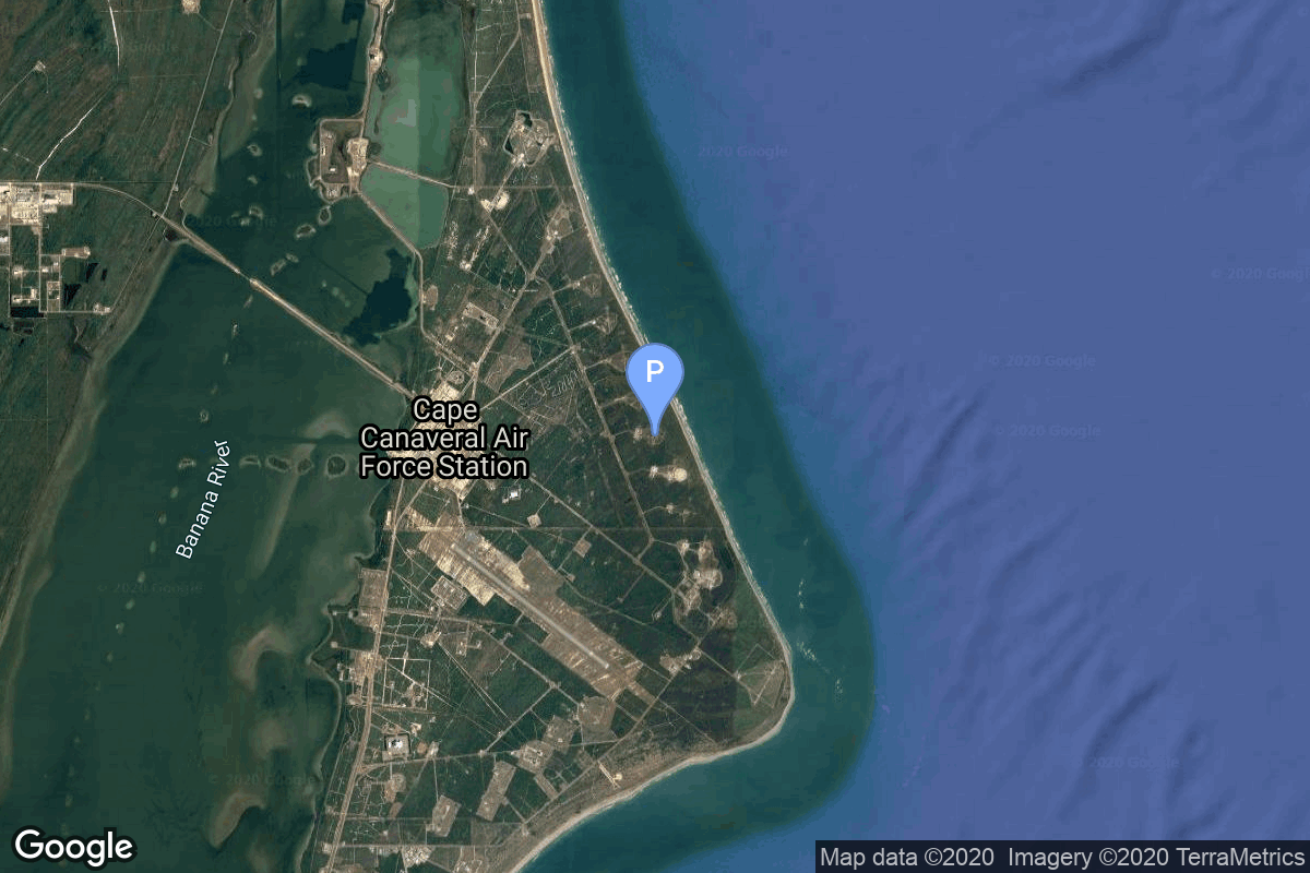
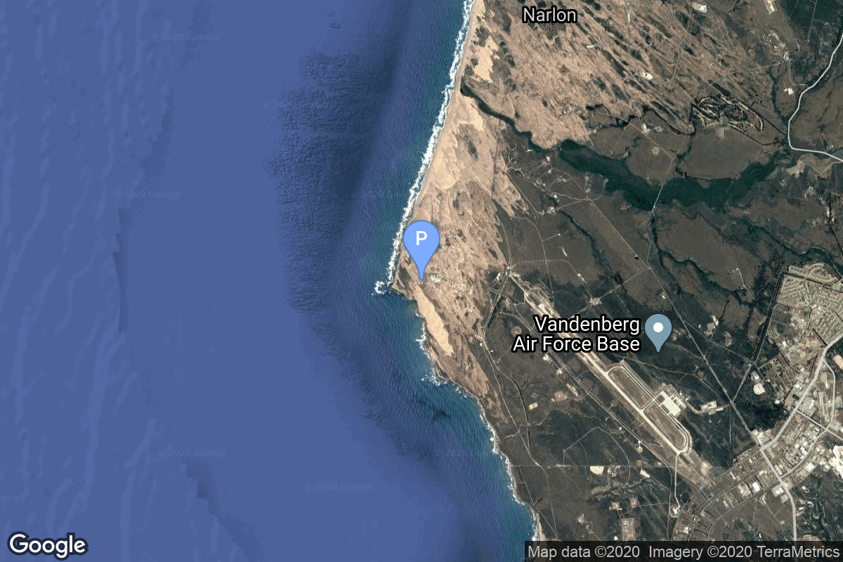
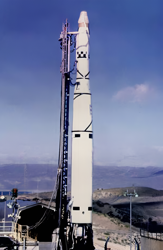
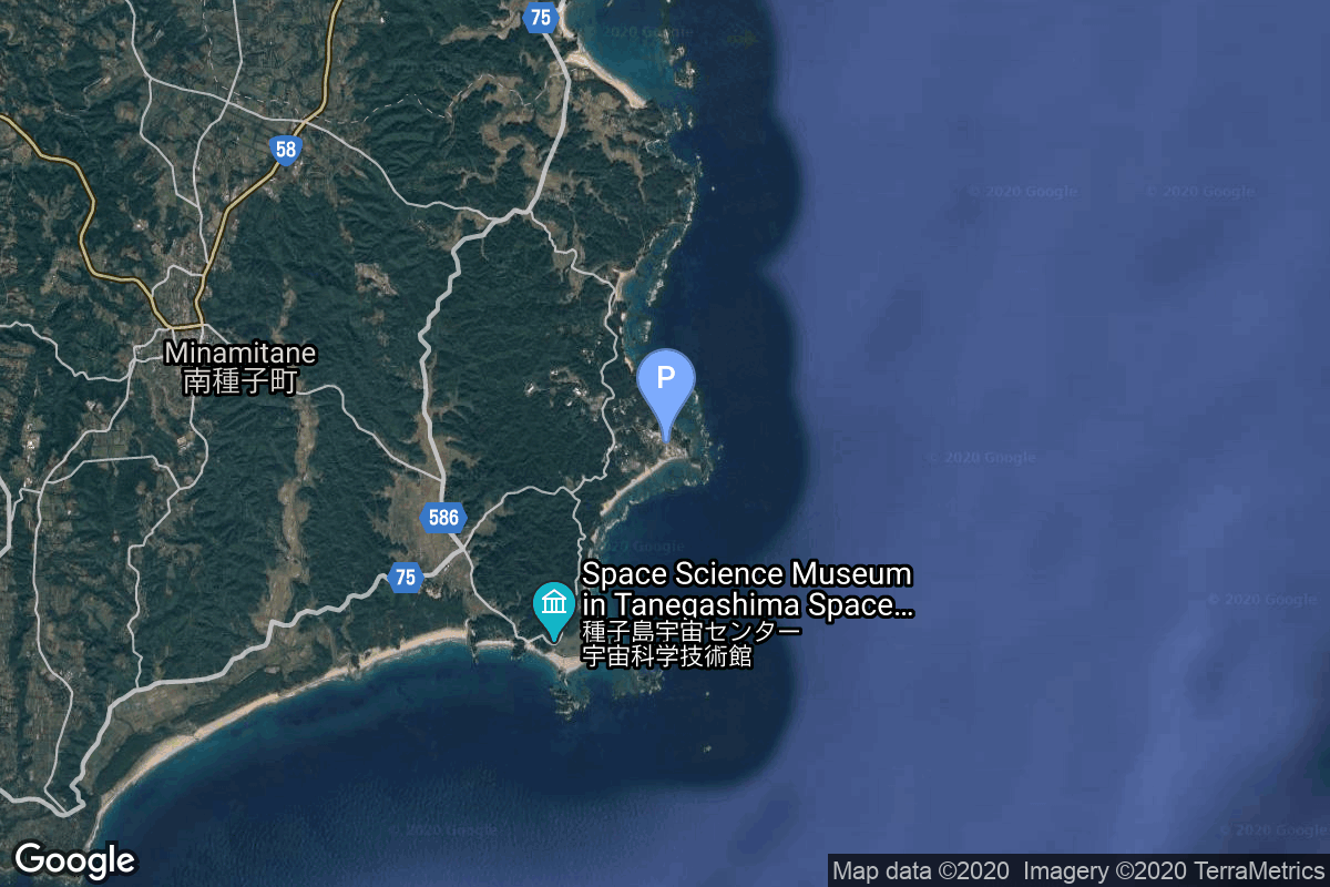
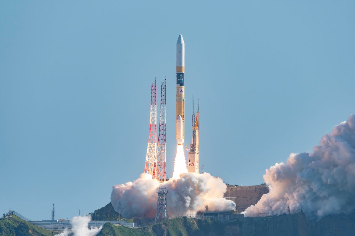
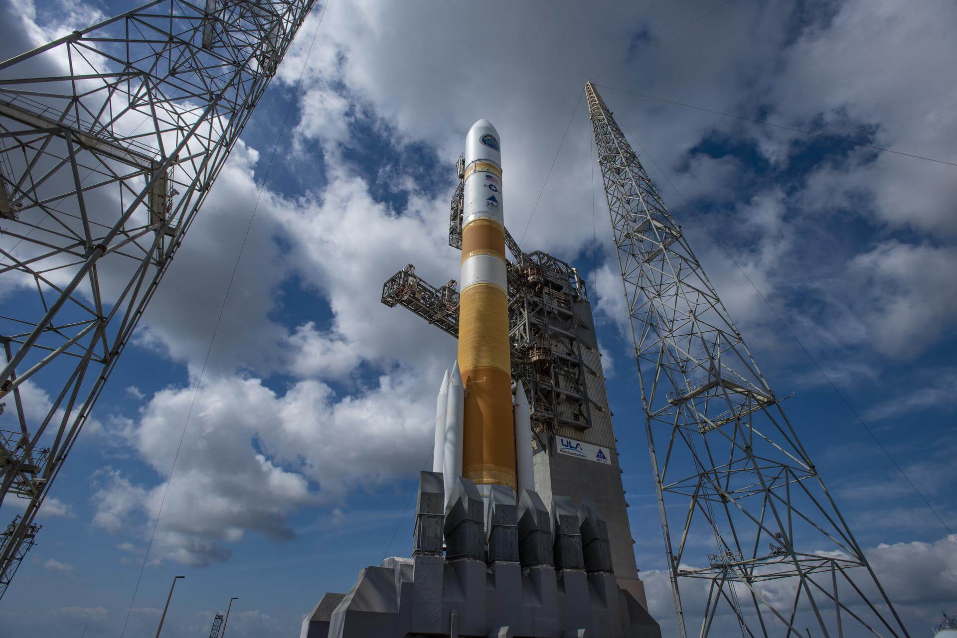
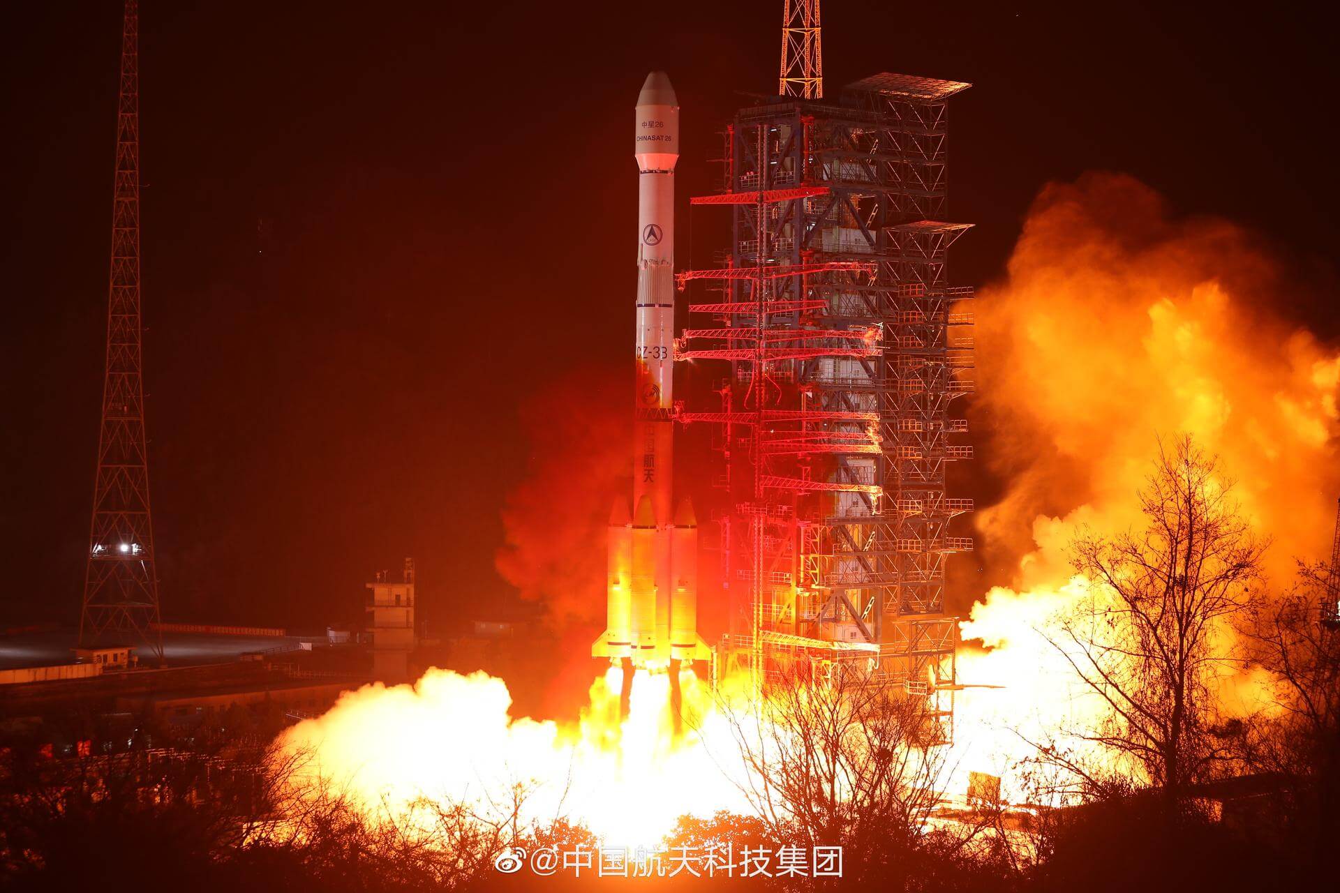
{ "count": 7827, "next": "https://ll.thespacedevs.com/2.0.0/launch/?format=api&limit=10&offset=6590&ordering=id", "previous": "https://ll.thespacedevs.com/2.0.0/launch/?format=api&limit=10&offset=6570&ordering=id", "results": [ { "id": "d675fb92-f9a8-4a5e-bd88-19f0f37c0355", "url": "https://ll.thespacedevs.com/2.0.0/launch/d675fb92-f9a8-4a5e-bd88-19f0f37c0355/?format=api", "launch_library_id": null, "slug": "atlas-slv-3-agena-d-gatv-10", "name": "Atlas SLV-3 Agena D | GATV 10", "status": { "id": 3, "name": "Success" }, "net": "1966-07-18T20:39:46Z", "window_end": "1966-07-18T20:39:46Z", "window_start": "1966-07-18T20:39:46Z", "inhold": false, "tbdtime": false, "tbddate": false, "probability": null, "holdreason": "", "failreason": "", "hashtag": null, "launch_service_provider": { "id": 161, "url": "https://ll.thespacedevs.com/2.0.0/agencies/161/?format=api", "name": "United States Air Force", "type": "Government" }, "rocket": { "id": 3551, "configuration": { "id": 258, "launch_library_id": null, "url": "https://ll.thespacedevs.com/2.0.0/config/launcher/258/?format=api", "name": "Atlas SLV-3 Agena D", "family": "Atlas", "full_name": "Atlas SLV-3 Agena D", "variant": "SLV-3 Agena D" } }, "mission": { "id": 1971, "launch_library_id": null, "name": "GATV 10", "description": "The GATV (Gemini Agena Target Vehicle) was designed to be launched into Earth orbit prior to a Gemini mission and used for rendezvous and docking practice.", "launch_designator": null, "type": "Test Target", "orbit": { "id": 8, "name": "Low Earth Orbit", "abbrev": "LEO" } }, "pad": { "id": 17, "url": "https://ll.thespacedevs.com/2.0.0/pad/17/?format=api", "agency_id": 1048, "name": "Space Launch Complex 14", "info_url": null, "wiki_url": "https://en.wikipedia.org/wiki/Cape_Canaveral_Air_Force_Station_Launch_Complex_14", "map_url": "https://www.google.com/maps?q=28.49103,-80.54687", "latitude": "28.49103", "longitude": "-80.54687", "location": { "id": 12, "url": "https://ll.thespacedevs.com/2.0.0/location/12/?format=api", "name": "Cape Canaveral SFS, FL, USA", "country_code": "USA", "map_image": "https://thespacedevs-prod.nyc3.digitaloceanspaces.com/media/map_images/location_12_20200803142519.jpg", "total_launch_count": 1097, "total_landing_count": 71 }, "map_image": "https://thespacedevs-prod.nyc3.digitaloceanspaces.com/media/map_images/pad_17_20200803143405.jpg", "total_launch_count": 20 }, "webcast_live": false, "image": "https://thespacedevs-prod.nyc3.digitaloceanspaces.com/media/images/atlas-slv3_agen_image_20251102060811.jpg", "infographic": null, "program": [ { "id": 3, "url": "https://ll.thespacedevs.com/2.0.0/program/3/?format=api", "name": "Gemini", "description": "Project Gemini was NASA's second human spaceflight program. Conducted between projects Mercury and Apollo, Gemini started in 1961 and concluded in 1966.", "agencies": [ { "id": 44, "url": "https://ll.thespacedevs.com/2.0.0/agencies/44/?format=api", "name": "National Aeronautics and Space Administration", "type": "Government" } ], "image_url": "https://thespacedevs-prod.nyc3.digitaloceanspaces.com/media/images/project2520gem_program_20200820195350.png", "start_date": "1961-12-07T00:00:00Z", "end_date": "1966-11-15T19:21:04Z", "info_url": "https://www.nasa.gov/mission_pages/gemini/index.html", "wiki_url": "https://en.wikipedia.org/wiki/Project_Gemini" } ] }, { "id": "d6772a56-b47e-425c-a445-206613749e26", "url": "https://ll.thespacedevs.com/2.0.0/launch/d6772a56-b47e-425c-a445-206613749e26/?format=api", "launch_library_id": null, "slug": "thor-dm-21-agena-b-kh-4-1", "name": "Thor DM-21 Agena-B | KH-4 1", "status": { "id": 3, "name": "Success" }, "net": "1962-02-27T19:39:20Z", "window_end": "1962-02-27T19:39:20Z", "window_start": "1962-02-27T19:39:20Z", "inhold": false, "tbdtime": false, "tbddate": false, "probability": null, "holdreason": "", "failreason": null, "hashtag": null, "launch_service_provider": { "id": 161, "url": "https://ll.thespacedevs.com/2.0.0/agencies/161/?format=api", "name": "United States Air Force", "type": "Government" }, "rocket": { "id": 3107, "configuration": { "id": 186, "launch_library_id": 201, "url": "https://ll.thespacedevs.com/2.0.0/config/launcher/186/?format=api", "name": "Thor DM-21 Agena-B", "family": "Thor", "full_name": "Thor DM-21 Agena-B", "variant": "" } }, "mission": { "id": 1529, "launch_library_id": null, "name": "KH-4 1", "description": "The KH-4 (Keyhole-4) was fourth version in the Corona-program to build an optical reconnaissance satellite.", "launch_designator": null, "type": "Government/Top Secret", "orbit": { "id": 8, "name": "Low Earth Orbit", "abbrev": "LEO" } }, "pad": { "id": 95, "url": "https://ll.thespacedevs.com/2.0.0/pad/95/?format=api", "agency_id": 161, "name": "Space Launch Complex 1W", "info_url": null, "wiki_url": "https://en.wikipedia.org/wiki/Vandenberg_Space_Launch_Complex_1", "map_url": "https://www.google.com/maps?q=34.7572,-120.6303", "latitude": "34.7572", "longitude": "-120.6303", "location": { "id": 11, "url": "https://ll.thespacedevs.com/2.0.0/location/11/?format=api", "name": "Vandenberg SFB, CA, USA", "country_code": "USA", "map_image": "https://thespacedevs-prod.nyc3.digitaloceanspaces.com/media/map_images/location_11_20200803142416.jpg", "total_launch_count": 871, "total_landing_count": 33 }, "map_image": "https://thespacedevs-prod.nyc3.digitaloceanspaces.com/media/map_images/pad_95_20200803143209.jpg", "total_launch_count": 56 }, "webcast_live": false, "image": "https://thespacedevs-prod.nyc3.digitaloceanspaces.com/media/images/thor-dm21_agena_image_20251112153059.png", "infographic": null, "program": [] }, { "id": "d68320e6-6584-4d0b-8da0-71e978d5b8cf", "url": "https://ll.thespacedevs.com/2.0.0/launch/d68320e6-6584-4d0b-8da0-71e978d5b8cf/?format=api", "launch_library_id": 1318, "slug": "h-iia-202-michibiki-2-qzs-2", "name": "H-IIA 202 | Michibiki 2 (QZS-2)", "status": { "id": 3, "name": "Success" }, "net": "2017-06-01T00:17:46Z", "window_end": "2017-06-01T00:17:46Z", "window_start": "2017-06-01T00:17:46Z", "inhold": false, "tbdtime": false, "tbddate": false, "probability": null, "holdreason": "", "failreason": null, "hashtag": null, "launch_service_provider": { "id": 98, "url": "https://ll.thespacedevs.com/2.0.0/agencies/98/?format=api", "name": "Mitsubishi Heavy Industries", "type": "Commercial" }, "rocket": { "id": 2004, "configuration": { "id": 32, "launch_library_id": 53, "url": "https://ll.thespacedevs.com/2.0.0/config/launcher/32/?format=api", "name": "H-IIA", "family": "H-II", "full_name": "H-IIA 202", "variant": "202" } }, "mission": { "id": 614, "launch_library_id": 553, "name": "Michibiki 2 (QZS-2)", "description": "The Quasi-Zenith Satellite System (QZSS) is a three-satellite regional time transfer system and the satellite-based augmentation system for the GPS that would be receivable within Japan. The primary purpose of QZSS is to increase the availability of GPS in Japan's numerous urban canyons, where only satellites at very high elevation can be seen. A secondary function is performance enhancement, increasing the accuracy and reliability of GPS derived navigation solutions. A single satellite weighs about 4000 kg, has an expected lifetime of 15 years and is put in a elliptical, highly inclined geosynchronous orbit.", "launch_designator": null, "type": "Navigation", "orbit": { "id": 4, "name": "Geosynchronous Transfer Orbit", "abbrev": "GSTO" } }, "pad": { "id": 41, "url": "https://ll.thespacedevs.com/2.0.0/pad/41/?format=api", "agency_id": 37, "name": "Yoshinobu Launch Complex LP-1", "info_url": null, "wiki_url": "https://en.wikipedia.org/wiki/Yoshinobu_Launch_Complex", "map_url": "https://www.google.com/maps?q=30.400813,130.977748", "latitude": "30.400813", "longitude": "130.977748", "location": { "id": 26, "url": "https://ll.thespacedevs.com/2.0.0/location/26/?format=api", "name": "Tanegashima Space Center, Japan", "country_code": "JPN", "map_image": "https://thespacedevs-prod.nyc3.digitaloceanspaces.com/media/map_images/location_26_20200803142507.jpg", "total_launch_count": 97, "total_landing_count": 0 }, "map_image": "https://thespacedevs-prod.nyc3.digitaloceanspaces.com/media/map_images/pad_41_20200803143551.jpg", "total_launch_count": 57 }, "webcast_live": false, "image": "https://thespacedevs-prod.nyc3.digitaloceanspaces.com/media/images/h-iia_202_lifto_image_20240325123250.jpg", "infographic": null, "program": [] }, { "id": "d68ba788-f668-4ee0-a88c-a8f6c4c0ebf1", "url": "https://ll.thespacedevs.com/2.0.0/launch/d68ba788-f668-4ee0-a88c-a8f6c4c0ebf1/?format=api", "launch_library_id": 1272, "slug": "delta-iv-m54-wgs-9-usa-275", "name": "Delta IV M+(5,4) | WGS-9 (USA-275)", "status": { "id": 3, "name": "Success" }, "net": "2017-03-19T00:18:00Z", "window_end": "2017-03-19T00:59:00Z", "window_start": "2017-03-18T23:44:00Z", "inhold": false, "tbdtime": false, "tbddate": false, "probability": 100, "holdreason": "", "failreason": "", "hashtag": null, "launch_service_provider": { "id": 124, "url": "https://ll.thespacedevs.com/2.0.0/agencies/124/?format=api", "name": "United Launch Alliance", "type": "Commercial" }, "rocket": { "id": 1992, "configuration": { "id": 23, "launch_library_id": 42, "url": "https://ll.thespacedevs.com/2.0.0/config/launcher/23/?format=api", "name": "Delta IV M+(5,4)", "family": "Delta", "full_name": "Delta IV M+(5,4)", "variant": "M+(5,4)" } }, "mission": { "id": 392, "launch_library_id": 523, "name": "WGS-9 (USA-275)", "description": "WGS-9 is the ninth of 10 high-capacity military communications satellites providing vital service for tactical forces who rely on WGS for connectivity to the Defence Information Systems Network (DISN).", "launch_designator": null, "type": "Communications", "orbit": { "id": 2, "name": "Geostationary Transfer Orbit", "abbrev": "GTO" } }, "pad": { "id": 38, "url": "https://ll.thespacedevs.com/2.0.0/pad/38/?format=api", "agency_id": null, "name": "Space Launch Complex 37B", "info_url": null, "wiki_url": "https://en.wikipedia.org/wiki/Cape_Canaveral_Air_Force_Station_Space_Launch_Complex_37", "map_url": "https://www.google.com/maps?q=28.5317,-80.56495", "latitude": "28.5317", "longitude": "-80.56495", "location": { "id": 12, "url": "https://ll.thespacedevs.com/2.0.0/location/12/?format=api", "name": "Cape Canaveral SFS, FL, USA", "country_code": "USA", "map_image": "https://thespacedevs-prod.nyc3.digitaloceanspaces.com/media/map_images/location_12_20200803142519.jpg", "total_launch_count": 1097, "total_landing_count": 71 }, "map_image": "https://thespacedevs-prod.nyc3.digitaloceanspaces.com/media/map_images/pad_38_20200803143515.jpg", "total_launch_count": 40 }, "webcast_live": false, "image": "https://thespacedevs-prod.nyc3.digitaloceanspaces.com/media/images/delta_iv_m252b_image_20240308073027.jpeg", "infographic": null, "program": [] }, { "id": "d6914604-67ae-453f-b191-65963994b6a3", "url": "https://ll.thespacedevs.com/2.0.0/launch/d6914604-67ae-453f-b191-65963994b6a3/?format=api", "launch_library_id": null, "slug": "proton-gorizont-21", "name": "Proton | Gorizont 21", "status": { "id": 3, "name": "Success" }, "net": "1990-11-03T14:40:00Z", "window_end": "1990-11-03T14:40:00Z", "window_start": "1990-11-03T14:40:00Z", "inhold": false, "tbdtime": false, "tbddate": false, "probability": null, "holdreason": "", "failreason": null, "hashtag": null, "launch_service_provider": { "id": 66, "url": "https://ll.thespacedevs.com/2.0.0/agencies/66/?format=api", "name": "Soviet Space Program", "type": "Government" }, "rocket": { "id": 6319, "configuration": { "id": 80, "launch_library_id": 99, "url": "https://ll.thespacedevs.com/2.0.0/config/launcher/80/?format=api", "name": "Proton", "family": "Proton / UR-500", "full_name": "Proton K/DM-2", "variant": "K/DM-2" } }, "mission": { "id": 4709, "launch_library_id": null, "name": "Gorizont 21", "description": "Geostationary communications satellite", "launch_designator": null, "type": "Communications", "orbit": { "id": 1, "name": "Geostationary Orbit", "abbrev": "Direct-GEO" } }, "pad": { "id": 31, "url": "https://ll.thespacedevs.com/2.0.0/pad/31/?format=api", "agency_id": null, "name": "81/23 (81L)", "info_url": null, "wiki_url": "", "map_url": "https://www.google.com/maps?q=46.073997,62.977999", "latitude": "46.073997", "longitude": "62.977999", "location": { "id": 15, "url": "https://ll.thespacedevs.com/2.0.0/location/15/?format=api", "name": "Baikonur Cosmodrome, Republic of Kazakhstan", "country_code": "KAZ", "map_image": "https://thespacedevs-prod.nyc3.digitaloceanspaces.com/media/map_images/location_15_20200803142517.jpg", "total_launch_count": 1561, "total_landing_count": 0 }, "map_image": "https://thespacedevs-prod.nyc3.digitaloceanspaces.com/media/map_images/pad_31_20200803143402.jpg", "total_launch_count": 104 }, "webcast_live": false, "image": "https://thespacedevs-prod.nyc3.digitaloceanspaces.com/media/images/proton_image_20231231095535.jpg", "infographic": null, "program": [] }, { "id": "d695a4e6-3283-4d51-85d8-786021e8ece2", "url": "https://ll.thespacedevs.com/2.0.0/launch/d695a4e6-3283-4d51-85d8-786021e8ece2/?format=api", "launch_library_id": null, "slug": "voskhod-zenit-4m-31", "name": "Voskhod | Zenit-4M 31", "status": { "id": 3, "name": "Success" }, "net": "1972-02-16T09:30:00Z", "window_end": "1972-02-16T09:30:00Z", "window_start": "1972-02-16T09:30:00Z", "inhold": false, "tbdtime": false, "tbddate": false, "probability": null, "holdreason": "", "failreason": null, "hashtag": null, "launch_service_provider": { "id": 66, "url": "https://ll.thespacedevs.com/2.0.0/agencies/66/?format=api", "name": "Soviet Space Program", "type": "Government" }, "rocket": { "id": 4227, "configuration": { "id": 104, "launch_library_id": 138, "url": "https://ll.thespacedevs.com/2.0.0/config/launcher/104/?format=api", "name": "Voskhod", "family": "R-7", "full_name": "Voskhod", "variant": "Voskhod" } }, "mission": { "id": 2645, "launch_library_id": null, "name": "Zenit-4M 31", "description": "The soviet Zenit-4M (Rotor, 11F691) was an improved version of the Zenit-4 high resolution reconnaissance satellite and was part of the Vostok-based Zenit-family.", "launch_designator": null, "type": "Government/Top Secret", "orbit": { "id": 8, "name": "Low Earth Orbit", "abbrev": "LEO" } }, "pad": { "id": 20, "url": "https://ll.thespacedevs.com/2.0.0/pad/20/?format=api", "agency_id": null, "name": "31/6", "info_url": null, "wiki_url": "https://en.wikipedia.org/wiki/Baikonur_Cosmodrome_Site_31", "map_url": "https://www.google.com/maps?q=45.996034,63.564003", "latitude": "45.996034", "longitude": "63.564003", "location": { "id": 15, "url": "https://ll.thespacedevs.com/2.0.0/location/15/?format=api", "name": "Baikonur Cosmodrome, Republic of Kazakhstan", "country_code": "KAZ", "map_image": "https://thespacedevs-prod.nyc3.digitaloceanspaces.com/media/map_images/location_15_20200803142517.jpg", "total_launch_count": 1561, "total_landing_count": 0 }, "map_image": "https://thespacedevs-prod.nyc3.digitaloceanspaces.com/media/map_images/pad_20_20200803143516.jpg", "total_launch_count": 427 }, "webcast_live": false, "image": "https://thespacedevs-prod.nyc3.digitaloceanspaces.com/media/images/voskhod_during__image_20251102062248.jpg", "infographic": null, "program": [] }, { "id": "d6971568-1e61-4722-aa04-b7ccac2c1306", "url": "https://ll.thespacedevs.com/2.0.0/launch/d6971568-1e61-4722-aa04-b7ccac2c1306/?format=api", "launch_library_id": null, "slug": "kosmos-3m-strela-1m-169-176", "name": "Kosmos-3M | Strela-1M 169-176", "status": { "id": 3, "name": "Success" }, "net": "1979-03-15T02:58:00Z", "window_end": "1979-03-15T02:58:00Z", "window_start": "1979-03-15T02:58:00Z", "inhold": false, "tbdtime": false, "tbddate": false, "probability": null, "holdreason": "", "failreason": null, "hashtag": null, "launch_service_provider": { "id": 66, "url": "https://ll.thespacedevs.com/2.0.0/agencies/66/?format=api", "name": "Soviet Space Program", "type": "Government" }, "rocket": { "id": 5055, "configuration": { "id": 102, "launch_library_id": 122, "url": "https://ll.thespacedevs.com/2.0.0/config/launcher/102/?format=api", "name": "Kosmos-3M", "family": "Kosmos", "full_name": "Kosmos-3M (11K65M)", "variant": "-3M" } }, "mission": { "id": 3467, "launch_library_id": null, "name": "Strela-1M 169-176", "description": "Military communications satellites", "launch_designator": null, "type": "Government/Top Secret", "orbit": { "id": 8, "name": "Low Earth Orbit", "abbrev": "LEO" } }, "pad": { "id": 167, "url": "https://ll.thespacedevs.com/2.0.0/pad/167/?format=api", "agency_id": null, "name": "132/2", "info_url": null, "wiki_url": "https://en.wikipedia.org/wiki/Plesetsk_Cosmodrome", "map_url": "https://www.google.com/maps?q=62.883,40.869806", "latitude": "62.883", "longitude": "40.869806", "location": { "id": 6, "url": "https://ll.thespacedevs.com/2.0.0/location/6/?format=api", "name": "Plesetsk Cosmodrome, Russian Federation", "country_code": "RUS", "map_image": "https://thespacedevs-prod.nyc3.digitaloceanspaces.com/media/map_images/location_6_20200803142434.jpg", "total_launch_count": 1682, "total_landing_count": 0 }, "map_image": "https://thespacedevs-prod.nyc3.digitaloceanspaces.com/media/map_images/pad_167_20200803143417.jpg", "total_launch_count": 172 }, "webcast_live": false, "image": "https://thespacedevs-prod.nyc3.digitaloceanspaces.com/media/images/kosmos-3m_durin_image_20251101171325.jpg", "infographic": null, "program": [] }, { "id": "d6a2cba0-b205-4c5f-b860-902b7b8f389b", "url": "https://ll.thespacedevs.com/2.0.0/launch/d6a2cba0-b205-4c5f-b860-902b7b8f389b/?format=api", "launch_library_id": null, "slug": "scout-d-1-aeros-1", "name": "Scout D-1 | Aeros 1", "status": { "id": 3, "name": "Success" }, "net": "1972-12-16T11:24:56Z", "window_end": "1972-12-16T11:24:56Z", "window_start": "1972-12-16T11:24:56Z", "inhold": false, "tbdtime": false, "tbddate": false, "probability": null, "holdreason": "", "failreason": null, "hashtag": null, "launch_service_provider": { "id": 44, "url": "https://ll.thespacedevs.com/2.0.0/agencies/44/?format=api", "name": "National Aeronautics and Space Administration", "type": "Government" }, "rocket": { "id": 4322, "configuration": { "id": 360, "launch_library_id": null, "url": "https://ll.thespacedevs.com/2.0.0/config/launcher/360/?format=api", "name": "Scout D-1", "family": "Scout", "full_name": "Scout D-1", "variant": "D-1" } }, "mission": { "id": 2740, "launch_library_id": null, "name": "Aeros 1", "description": "Joint NASA-German ministry for science and education satellite to study the upper atmosphere.", "launch_designator": null, "type": "Earth Science", "orbit": { "id": 8, "name": "Low Earth Orbit", "abbrev": "LEO" } }, "pad": { "id": 154, "url": "https://ll.thespacedevs.com/2.0.0/pad/154/?format=api", "agency_id": null, "name": "Space Launch Complex 5", "info_url": "https://www.astronautix.com/v/vandenbergslc5.html", "wiki_url": "https://en.wikipedia.org/wiki/Vandenberg_Air_Force_Base_Space_Launch_Complex_5", "map_url": "https://www.google.com/maps?q=34.6080,-120.6247", "latitude": "34.608", "longitude": "-120.6247", "location": { "id": 11, "url": "https://ll.thespacedevs.com/2.0.0/location/11/?format=api", "name": "Vandenberg SFB, CA, USA", "country_code": "USA", "map_image": "https://thespacedevs-prod.nyc3.digitaloceanspaces.com/media/map_images/location_11_20200803142416.jpg", "total_launch_count": 871, "total_landing_count": 33 }, "map_image": "https://thespacedevs-prod.nyc3.digitaloceanspaces.com/media/map_images/pad_154_20200803143408.jpg", "total_launch_count": 69 }, "webcast_live": false, "image": "https://thespacedevs-prod.nyc3.digitaloceanspaces.com/media/images/scout-d1_2528a_image_20251115095638.png", "infographic": null, "program": [] }, { "id": "d6ab90f9-3897-4c0e-9a2b-c3a940dc4abb", "url": "https://ll.thespacedevs.com/2.0.0/launch/d6ab90f9-3897-4c0e-9a2b-c3a940dc4abb/?format=api", "launch_library_id": null, "slug": "long-march-3be-tjsw-22", "name": "Long March 3B/E | TJSW-22", "status": { "id": 3, "name": "Success" }, "net": "2025-12-09T15:08:00Z", "window_end": "2025-12-09T15:57:00Z", "window_start": "2025-12-09T15:00:00Z", "inhold": false, "tbdtime": false, "tbddate": false, "probability": null, "holdreason": "", "failreason": "", "hashtag": null, "launch_service_provider": { "id": 88, "url": "https://ll.thespacedevs.com/2.0.0/agencies/88/?format=api", "name": "China Aerospace Science and Technology Corporation", "type": "Government" }, "rocket": { "id": 8834, "configuration": { "id": 50, "launch_library_id": 69, "url": "https://ll.thespacedevs.com/2.0.0/config/launcher/50/?format=api", "name": "Long March 3B/E", "family": "Long March", "full_name": "Long March 3B/E", "variant": "B/E" } }, "mission": { "id": 7425, "launch_library_id": null, "name": "TJSW-22", "description": "Chinese classified satellite claimed to be for communication technology test purposes. Actual mission not known.", "launch_designator": null, "type": "Government/Top Secret", "orbit": { "id": 2, "name": "Geostationary Transfer Orbit", "abbrev": "GTO" } }, "pad": { "id": 66, "url": "https://ll.thespacedevs.com/2.0.0/pad/66/?format=api", "agency_id": 17, "name": "Launch Complex 3 (LC-3/LA-1)", "info_url": null, "wiki_url": "https://en.wikipedia.org/wiki/Xichang_Satellite_Launch_Center", "map_url": "https://www.google.com/maps?q=28.247209,102.02917", "latitude": "28.247209", "longitude": "102.02917", "location": { "id": 16, "url": "https://ll.thespacedevs.com/2.0.0/location/16/?format=api", "name": "Xichang Satellite Launch Center, People's Republic of China", "country_code": "CHN", "map_image": "https://thespacedevs-prod.nyc3.digitaloceanspaces.com/media/map_images/location_16_20200803142513.jpg", "total_launch_count": 238, "total_landing_count": 0 }, "map_image": "https://thespacedevs-prod.nyc3.digitaloceanspaces.com/media/map_images/pad_66_20200803143611.jpg", "total_launch_count": 106 }, "webcast_live": false, "image": "https://thespacedevs-prod.nyc3.digitaloceanspaces.com/media/images/long2520march_image_20230907120240.jpeg", "infographic": null, "program": [] }, { "id": "d6b921e1-a5a2-4330-b58c-c2e357adbeb0", "url": "https://ll.thespacedevs.com/2.0.0/launch/d6b921e1-a5a2-4330-b58c-c2e357adbeb0/?format=api", "launch_library_id": 1922, "slug": "soyuz-kosmos-213", "name": "Soyuz | Kosmos 213", "status": { "id": 3, "name": "Success" }, "net": "1968-04-15T09:34:18Z", "window_end": "1968-04-15T09:34:18Z", "window_start": "1968-04-15T09:34:18Z", "inhold": false, "tbdtime": false, "tbddate": false, "probability": 0, "holdreason": "", "failreason": "", "hashtag": "", "launch_service_provider": { "id": 66, "url": "https://ll.thespacedevs.com/2.0.0/agencies/66/?format=api", "name": "Soviet Space Program", "type": "Government" }, "rocket": { "id": 2435, "configuration": { "id": 96, "launch_library_id": 134, "url": "https://ll.thespacedevs.com/2.0.0/config/launcher/96/?format=api", "name": "Soyuz", "family": "Soyuz", "full_name": "Soyuz", "variant": "" } }, "mission": null, "pad": { "id": 32, "url": "https://ll.thespacedevs.com/2.0.0/pad/32/?format=api", "agency_id": null, "name": "1/5", "info_url": null, "wiki_url": "", "map_url": "https://www.google.com/maps?q=45.92,63.342", "latitude": "45.92", "longitude": "63.342", "location": { "id": 15, "url": "https://ll.thespacedevs.com/2.0.0/location/15/?format=api", "name": "Baikonur Cosmodrome, Republic of Kazakhstan", "country_code": "KAZ", "map_image": "https://thespacedevs-prod.nyc3.digitaloceanspaces.com/media/map_images/location_15_20200803142517.jpg", "total_launch_count": 1561, "total_landing_count": 0 }, "map_image": "https://thespacedevs-prod.nyc3.digitaloceanspaces.com/media/map_images/pad_32_20200803143513.jpg", "total_launch_count": 487 }, "webcast_live": false, "image": null, "infographic": null, "program": [ { "id": 8, "url": "https://ll.thespacedevs.com/2.0.0/program/8/?format=api", "name": "Soyuz", "description": "The Soyuz programme is a human spaceflight programme initiated by the Soviet Union in the early 1960s. The Soyuz spacecraft was originally part of a Moon landing project intended to put a Soviet cosmonaut on the Moon. It was the third Soviet human spaceflight programme after the Vostok and Voskhod programmes.", "agencies": [ { "id": 63, "url": "https://ll.thespacedevs.com/2.0.0/agencies/63/?format=api", "name": "Russian Federal Space Agency (ROSCOSMOS)", "type": "Government" }, { "id": 66, "url": "https://ll.thespacedevs.com/2.0.0/agencies/66/?format=api", "name": "Soviet Space Program", "type": "Government" } ], "image_url": "https://thespacedevs-prod.nyc3.digitaloceanspaces.com/media/images/soyuz_program_20201129185543.png", "start_date": "1966-11-28T11:02:00Z", "end_date": null, "info_url": null, "wiki_url": "https://en.wikipedia.org/wiki/Soyuz_programme" } ] } ] }