Launch List
API endpoint that returns all Launch objects or a single launch.
EXAMPLE - /launch/
GET: Return a list of all Launch objects.
FILTERS: Fields - 'name', 'id(s)', 'lsp_id', 'lsp_name', 'serial_number', 'launcher_config__id', 'rocket__spacecraftflight__spacecraft__name'
MODE: 'normal', 'list', 'detailed' EXAMPLE: ?mode=list
SEARCH: Searches through the launch name, rocket name, launch agency, mission name & spacecraft name. EXAMPLE - ?search=SpaceX
GET /2.0.0/launch/?format=api&offset=6570&ordering=id
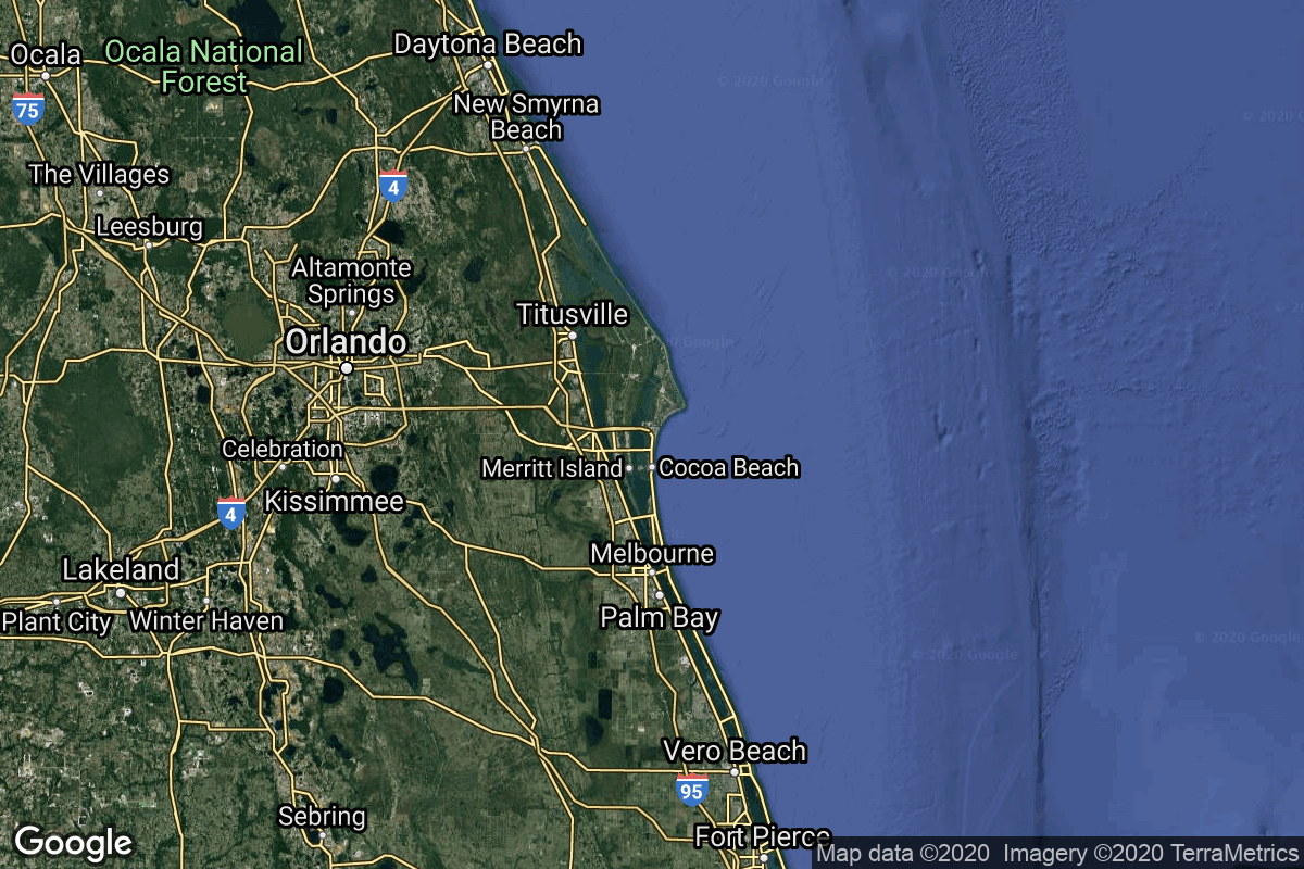
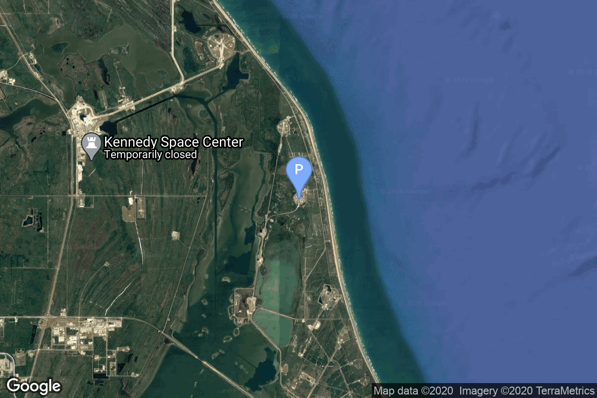
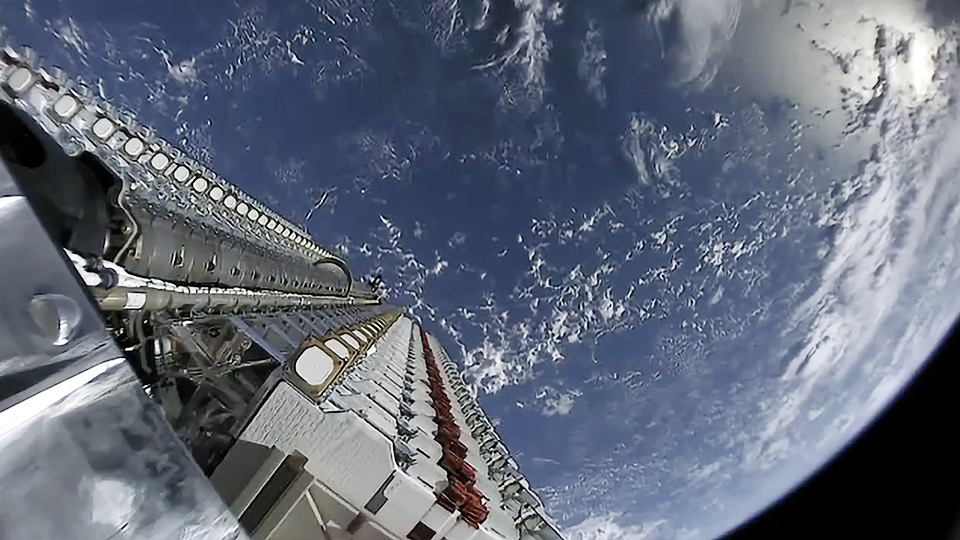
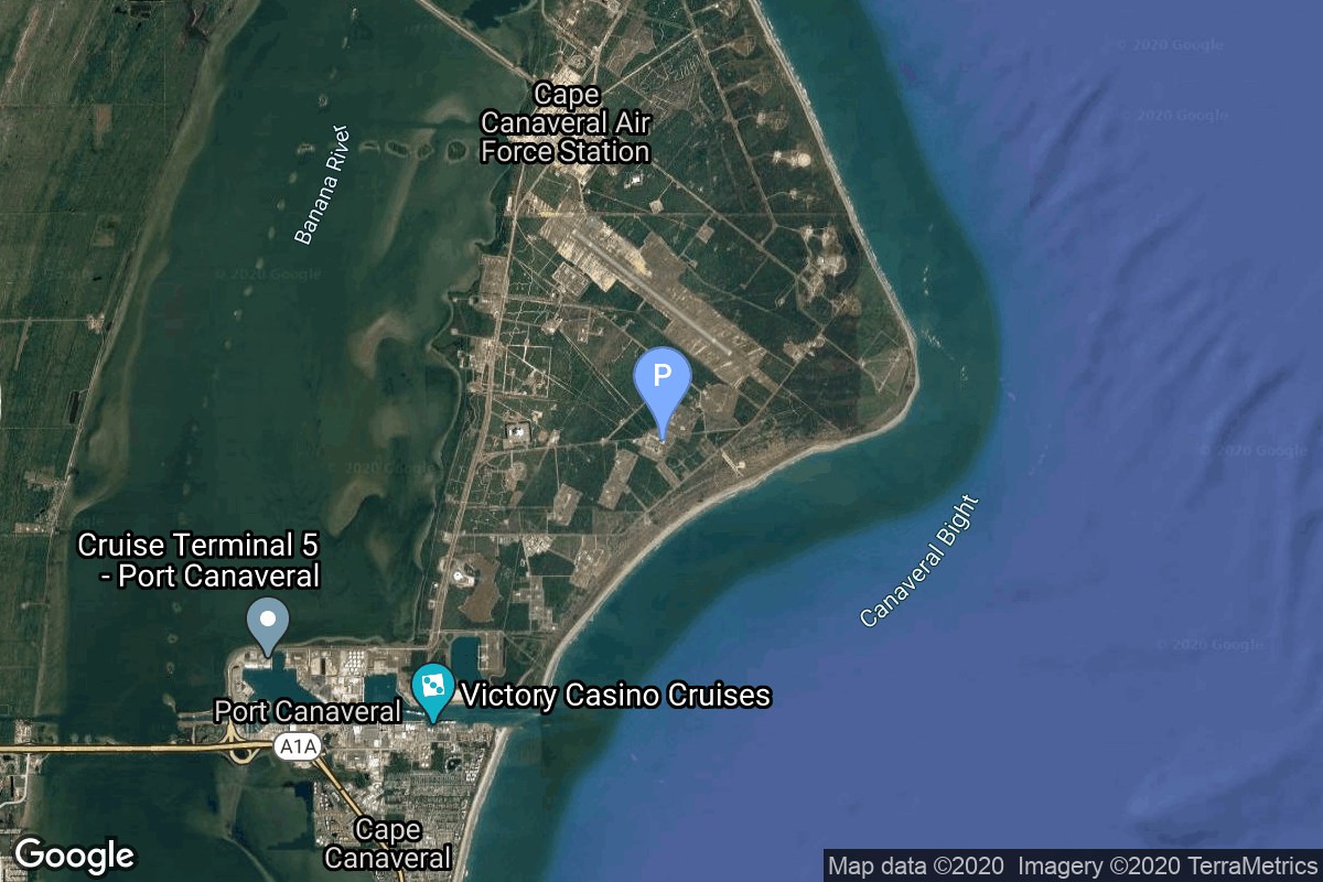
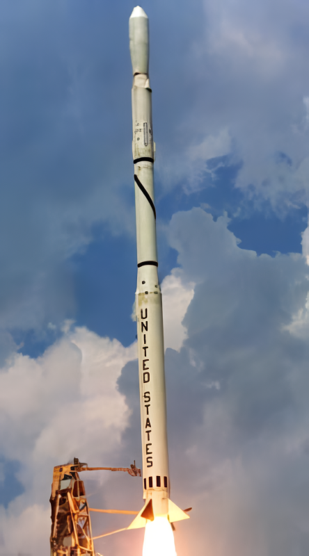
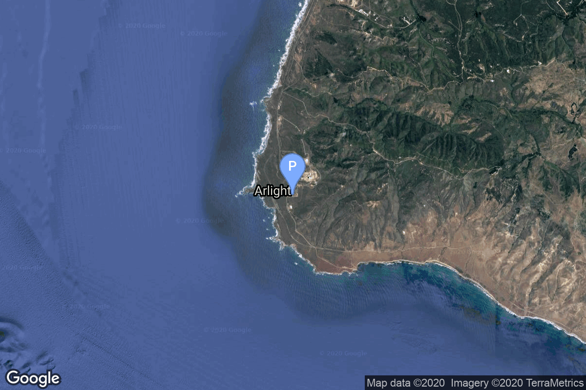
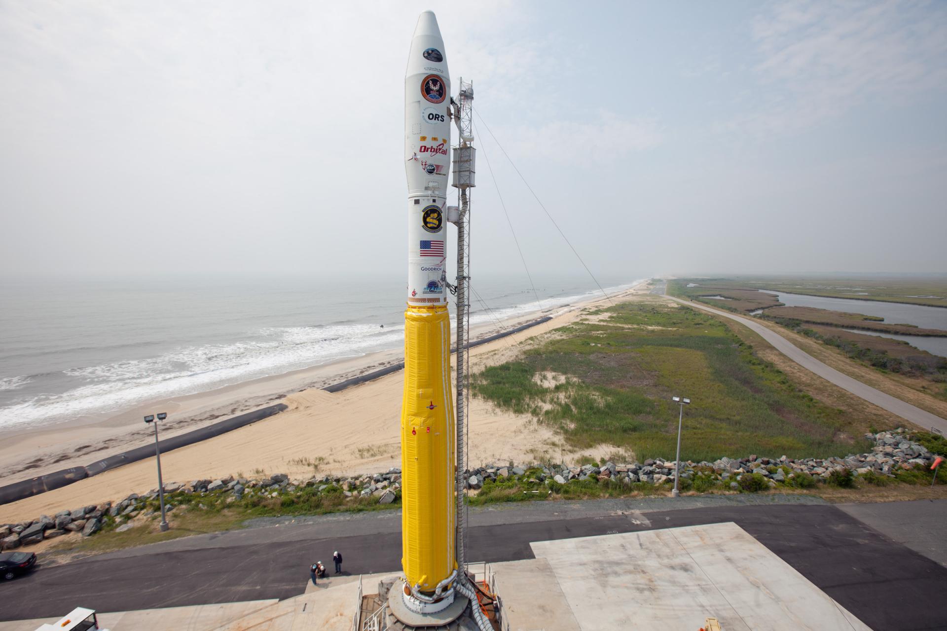
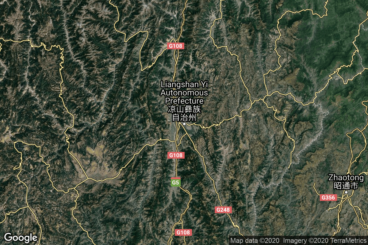
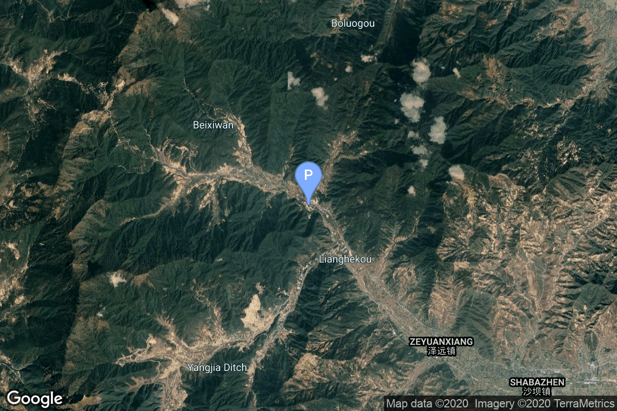
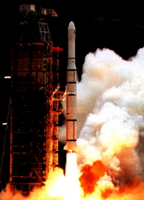
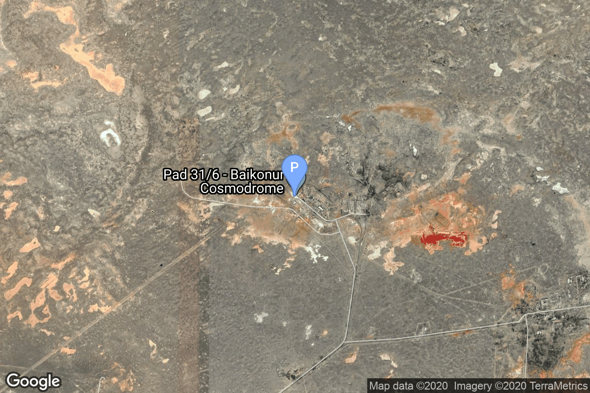
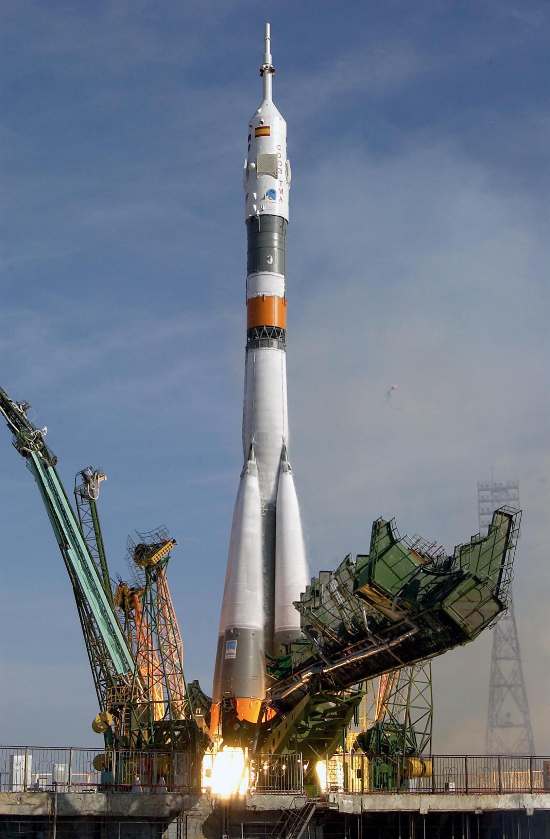
{ "count": 8120, "next": "https://ll.thespacedevs.com/2.0.0/launch/?format=api&limit=10&offset=6580&ordering=id", "previous": "https://ll.thespacedevs.com/2.0.0/launch/?format=api&limit=10&offset=6560&ordering=id", "results": [ { "id": "ce986507-bfc1-43fb-953d-3f30e7c5f48f", "url": "https://ll.thespacedevs.com/2.0.0/launch/ce986507-bfc1-43fb-953d-3f30e7c5f48f/?format=api", "launch_library_id": null, "slug": "falcon-9-block-5-starlink-group-6-69", "name": "Falcon 9 Block 5 | Starlink Group 6-69", "status": { "id": 3, "name": "Success" }, "net": "2024-11-11T21:28:00Z", "window_end": "2024-11-12T00:44:00Z", "window_start": "2024-11-11T21:02:00Z", "inhold": false, "tbdtime": false, "tbddate": false, "probability": 80, "holdreason": "", "failreason": "", "hashtag": null, "launch_service_provider": { "id": 121, "url": "https://ll.thespacedevs.com/2.0.0/agencies/121/?format=api", "name": "SpaceX", "type": "Commercial" }, "rocket": { "id": 8397, "configuration": { "id": 164, "launch_library_id": 188, "url": "https://ll.thespacedevs.com/2.0.0/config/launcher/164/?format=api", "name": "Falcon 9", "family": "Falcon", "full_name": "Falcon 9 Block 5", "variant": "Block 5" } }, "mission": { "id": 6982, "launch_library_id": null, "name": "Starlink Group 6-69", "description": "A batch of 24 satellites for the Starlink mega-constellation - SpaceX's project for space-based Internet communication system.", "launch_designator": null, "type": "Communications", "orbit": { "id": 8, "name": "Low Earth Orbit", "abbrev": "LEO" } }, "pad": { "id": 80, "url": "https://ll.thespacedevs.com/2.0.0/pad/80/?format=api", "agency_id": 121, "name": "Space Launch Complex 40", "info_url": null, "wiki_url": "https://en.wikipedia.org/wiki/Cape_Canaveral_Air_Force_Station_Space_Launch_Complex_40", "map_url": "https://www.google.com/maps?q=28.56194122,-80.57735736", "latitude": "28.56194122", "longitude": "-80.57735736", "location": { "id": 12, "url": "https://ll.thespacedevs.com/2.0.0/location/12/?format=api", "name": "Cape Canaveral SFS, FL, USA", "country_code": "USA", "map_image": "https://thespacedevs-prod.nyc3.digitaloceanspaces.com/media/map_images/location_12_20200803142519.jpg", "total_launch_count": 1132, "total_landing_count": 83 }, "map_image": "https://thespacedevs-prod.nyc3.digitaloceanspaces.com/media/map_images/pad_80_20200803143323.jpg", "total_launch_count": 404 }, "webcast_live": false, "image": "https://thespacedevs-prod.nyc3.digitaloceanspaces.com/media/images/falcon2520925_image_20221009234147.png", "infographic": null, "program": [ { "id": 25, "url": "https://ll.thespacedevs.com/2.0.0/program/25/?format=api", "name": "Starlink", "description": "Starlink is a satellite internet constellation operated by American aerospace company SpaceX", "agencies": [ { "id": 121, "url": "https://ll.thespacedevs.com/2.0.0/agencies/121/?format=api", "name": "SpaceX", "type": "Commercial" } ], "image_url": "https://thespacedevs-prod.nyc3.digitaloceanspaces.com/media/images/starlink_program_20231228154508.jpeg", "start_date": "2018-02-22T14:17:00Z", "end_date": null, "info_url": "https://starlink.com", "wiki_url": "https://en.wikipedia.org/wiki/Starlink" } ] }, { "id": "ce9c2649-9ada-4819-9e6d-15118a47035a", "url": "https://ll.thespacedevs.com/2.0.0/launch/ce9c2649-9ada-4819-9e6d-15118a47035a/?format=api", "launch_library_id": null, "slug": "delta-6925-gps-2-3", "name": "Delta 6925 | GPS-2 3", "status": { "id": 3, "name": "Success" }, "net": "1989-08-18T05:57:59Z", "window_end": "1989-08-18T05:57:59Z", "window_start": "1989-08-18T05:57:59Z", "inhold": false, "tbdtime": false, "tbddate": false, "probability": null, "holdreason": "", "failreason": null, "hashtag": null, "launch_service_provider": { "id": 161, "url": "https://ll.thespacedevs.com/2.0.0/agencies/161/?format=api", "name": "United States Air Force", "type": "Government" }, "rocket": { "id": 6199, "configuration": { "id": 300, "launch_library_id": null, "url": "https://ll.thespacedevs.com/2.0.0/config/launcher/300/?format=api", "name": "Delta II", "family": "Delta", "full_name": "Delta II 6925", "variant": "6925" } }, "mission": { "id": 4589, "launch_library_id": null, "name": "GPS-2 3", "description": "Second generation GPS navigation satellite", "launch_designator": null, "type": "Navigation", "orbit": { "id": 12, "name": "Medium Earth Orbit", "abbrev": "MEO" } }, "pad": { "id": 14, "url": "https://ll.thespacedevs.com/2.0.0/pad/14/?format=api", "agency_id": null, "name": "Space Launch Complex 17A", "info_url": null, "wiki_url": "https://en.wikipedia.org/wiki/Cape_Canaveral_Space_Launch_Complex_17", "map_url": "https://www.google.com/maps?q=28.4472,-80.565", "latitude": "28.4472", "longitude": "-80.565", "location": { "id": 12, "url": "https://ll.thespacedevs.com/2.0.0/location/12/?format=api", "name": "Cape Canaveral SFS, FL, USA", "country_code": "USA", "map_image": "https://thespacedevs-prod.nyc3.digitaloceanspaces.com/media/map_images/location_12_20200803142519.jpg", "total_launch_count": 1132, "total_landing_count": 83 }, "map_image": "https://thespacedevs-prod.nyc3.digitaloceanspaces.com/media/map_images/pad_14_20200803143451.jpg", "total_launch_count": 145 }, "webcast_live": false, "image": null, "infographic": null, "program": [] }, { "id": "ce9ff786-a4c7-43d9-b938-bb24109900a2", "url": "https://ll.thespacedevs.com/2.0.0/launch/ce9ff786-a4c7-43d9-b938-bb24109900a2/?format=api", "launch_library_id": 1056, "slug": "long-march-2d-tansat-carbonsat", "name": "Long March 2D | Tansat (CarbonSat)", "status": { "id": 3, "name": "Success" }, "net": "2016-12-21T19:22:04Z", "window_end": "2016-12-21T19:38:00Z", "window_start": "2016-12-21T19:11:00Z", "inhold": false, "tbdtime": false, "tbddate": false, "probability": null, "holdreason": "", "failreason": "", "hashtag": null, "launch_service_provider": { "id": 88, "url": "https://ll.thespacedevs.com/2.0.0/agencies/88/?format=api", "name": "China Aerospace Science and Technology Corporation", "type": "Government" }, "rocket": { "id": 1976, "configuration": { "id": 17, "launch_library_id": 73, "url": "https://ll.thespacedevs.com/2.0.0/config/launcher/17/?format=api", "name": "Long March 2D", "family": "Long March", "full_name": "Long March 2D", "variant": "D" } }, "mission": { "id": 273, "launch_library_id": 372, "name": "Tansat (CarbonSat)", "description": "Tansat is a global CO2 (Carbon Dioxide) monitoring scientific experiment satellite and demonstration mission.\nThe main components of the project are:\nThe global carbon dioxide monitoring platform.\nA high spectral and spatial resolution CO2 detector.\nA multispectral cloud and aerosol detector.\nAnd a ground data processing and inversion CO2 verification system.", "launch_designator": null, "type": "Earth Science", "orbit": { "id": 8, "name": "Low Earth Orbit", "abbrev": "LEO" } }, "pad": { "id": 22, "url": "https://ll.thespacedevs.com/2.0.0/pad/22/?format=api", "agency_id": null, "name": "Launch Area 94 (SLS-2 / 603)", "info_url": null, "wiki_url": "https://en.wikipedia.org/wiki/Jiuquan_Launch_Area_4", "map_url": "https://www.google.com/maps?q=40.960482,100.298059", "latitude": "40.960482", "longitude": "100.298059", "location": { "id": 17, "url": "https://ll.thespacedevs.com/2.0.0/location/17/?format=api", "name": "Jiuquan Satellite Launch Center, People's Republic of China", "country_code": "CHN", "map_image": "https://thespacedevs-prod.nyc3.digitaloceanspaces.com/media/map_images/location_17_20200803142429.jpg", "total_launch_count": 300, "total_landing_count": 3 }, "map_image": "https://thespacedevs-prod.nyc3.digitaloceanspaces.com/media/map_images/pad_22_20200803143437.jpg", "total_launch_count": 139 }, "webcast_live": false, "image": "https://thespacedevs-prod.nyc3.digitaloceanspaces.com/media/images/long2520march25202d_image_20190222031211.jpeg", "infographic": null, "program": [] }, { "id": "cead5702-bbd8-47ae-9a0b-ad9347ac4ae9", "url": "https://ll.thespacedevs.com/2.0.0/launch/cead5702-bbd8-47ae-9a0b-ad9347ac4ae9/?format=api", "launch_library_id": null, "slug": "scout-b-azur", "name": "Scout B | Azur", "status": { "id": 3, "name": "Success" }, "net": "1969-11-08T01:52:00Z", "window_end": "1969-11-08T01:52:00Z", "window_start": "1969-11-08T01:52:00Z", "inhold": false, "tbdtime": false, "tbddate": false, "probability": null, "holdreason": "", "failreason": null, "hashtag": null, "launch_service_provider": { "id": 29, "url": "https://ll.thespacedevs.com/2.0.0/agencies/29/?format=api", "name": "German Aerospace Center", "type": "Government" }, "rocket": { "id": 3958, "configuration": { "id": 358, "launch_library_id": null, "url": "https://ll.thespacedevs.com/2.0.0/config/launcher/358/?format=api", "name": "Scout B", "family": "Scout", "full_name": "Scout B", "variant": "B" } }, "mission": { "id": 2376, "launch_library_id": null, "name": "Azur", "description": "NASA-GSFC and BMWF (German scientific research ministry) joint spacecraft designed to acquire data about the terrestrial radiation belt.", "launch_designator": null, "type": "Earth Science", "orbit": { "id": 0, "name": "Elliptical Orbit", "abbrev": "Elliptical" } }, "pad": { "id": 154, "url": "https://ll.thespacedevs.com/2.0.0/pad/154/?format=api", "agency_id": null, "name": "Space Launch Complex 5", "info_url": "https://www.astronautix.com/v/vandenbergslc5.html", "wiki_url": "https://en.wikipedia.org/wiki/Vandenberg_Air_Force_Base_Space_Launch_Complex_5", "map_url": "https://www.google.com/maps?q=34.6080,-120.6247", "latitude": "34.608", "longitude": "-120.6247", "location": { "id": 11, "url": "https://ll.thespacedevs.com/2.0.0/location/11/?format=api", "name": "Vandenberg SFB, CA, USA", "country_code": "USA", "map_image": "https://thespacedevs-prod.nyc3.digitaloceanspaces.com/media/map_images/location_11_20200803142416.jpg", "total_launch_count": 920, "total_landing_count": 37 }, "map_image": "https://thespacedevs-prod.nyc3.digitaloceanspaces.com/media/map_images/pad_154_20200803143408.jpg", "total_launch_count": 69 }, "webcast_live": false, "image": "https://thespacedevs-prod.nyc3.digitaloceanspaces.com/media/images/scout-b_2528se_image_20251109064911.png", "infographic": null, "program": [] }, { "id": "ceb09a96-193d-47e0-aff8-b5d80bc7ce3c", "url": "https://ll.thespacedevs.com/2.0.0/launch/ceb09a96-193d-47e0-aff8-b5d80bc7ce3c/?format=api", "launch_library_id": null, "slug": "minotaur-i-stp-r1", "name": "Minotaur I | STP-R1", "status": { "id": 3, "name": "Success" }, "net": "2005-09-23T02:24:29Z", "window_end": "2005-09-23T02:24:29Z", "window_start": "2005-09-23T02:24:29Z", "inhold": false, "tbdtime": false, "tbddate": false, "probability": null, "holdreason": "", "failreason": null, "hashtag": null, "launch_service_provider": { "id": 100, "url": "https://ll.thespacedevs.com/2.0.0/agencies/100/?format=api", "name": "Orbital Sciences Corporation", "type": "Commercial" }, "rocket": { "id": 7243, "configuration": { "id": 175, "launch_library_id": 19, "url": "https://ll.thespacedevs.com/2.0.0/config/launcher/175/?format=api", "name": "Minotaur I", "family": "Minotaur", "full_name": "Minotaur I", "variant": "" } }, "mission": { "id": 5632, "launch_library_id": null, "name": "STP-R1", "description": "Streak or STP-R1 is an Defense Advanced Research Projects Agency (DARPA) experimental satellite, which remains largely classified.", "launch_designator": null, "type": "Government/Top Secret", "orbit": { "id": 8, "name": "Low Earth Orbit", "abbrev": "LEO" } }, "pad": { "id": 8, "url": "https://ll.thespacedevs.com/2.0.0/pad/8/?format=api", "agency_id": 161, "name": "Space Launch Complex 8", "info_url": null, "wiki_url": "https://en.wikipedia.org/wiki/Vandenberg_Space_Launch_Complex_8", "map_url": "https://www.google.com/maps?q=34.57635,-120.63245", "latitude": "34.57635", "longitude": "-120.63245", "location": { "id": 11, "url": "https://ll.thespacedevs.com/2.0.0/location/11/?format=api", "name": "Vandenberg SFB, CA, USA", "country_code": "USA", "map_image": "https://thespacedevs-prod.nyc3.digitaloceanspaces.com/media/map_images/location_11_20200803142416.jpg", "total_launch_count": 920, "total_landing_count": 37 }, "map_image": "https://thespacedevs-prod.nyc3.digitaloceanspaces.com/media/map_images/pad_8_20200803143300.jpg", "total_launch_count": 10 }, "webcast_live": false, "image": "https://thespacedevs-prod.nyc3.digitaloceanspaces.com/media/images/minotaur2520i_image_20190224012247.jpeg", "infographic": null, "program": [] }, { "id": "ceb40b4a-82dc-46aa-9586-db1b3d09b9a7", "url": "https://ll.thespacedevs.com/2.0.0/launch/ceb40b4a-82dc-46aa-9586-db1b3d09b9a7/?format=api", "launch_library_id": null, "slug": "long-march-3-feng-yun-2a", "name": "Long March 3 | Feng Yun 2A", "status": { "id": 3, "name": "Success" }, "net": "1997-06-10T12:01:00Z", "window_end": "1997-06-10T12:01:00Z", "window_start": "1997-06-10T12:01:00Z", "inhold": false, "tbdtime": false, "tbddate": false, "probability": null, "holdreason": "", "failreason": null, "hashtag": null, "launch_service_provider": { "id": 189, "url": "https://ll.thespacedevs.com/2.0.0/agencies/189/?format=api", "name": "China Aerospace Corporation", "type": "Government" }, "rocket": { "id": 6787, "configuration": { "id": 270, "launch_library_id": null, "url": "https://ll.thespacedevs.com/2.0.0/config/launcher/270/?format=api", "name": "Long March 3", "family": "Long March", "full_name": "Long March 3", "variant": "" } }, "mission": { "id": 5177, "launch_library_id": null, "name": "Feng Yun 2A", "description": "China's geostationary meteorological satellite program FY-2 (Feng Yun 2) began its development in 1980. It is built by the Shanghai Institute of Satellite Engineering.", "launch_designator": null, "type": "Earth Science", "orbit": { "id": 1, "name": "Geostationary Orbit", "abbrev": "Direct-GEO" } }, "pad": { "id": 66, "url": "https://ll.thespacedevs.com/2.0.0/pad/66/?format=api", "agency_id": 17, "name": "Launch Complex 3 (LC-3/LA-1)", "info_url": null, "wiki_url": "https://en.wikipedia.org/wiki/Xichang_Satellite_Launch_Center", "map_url": "https://www.google.com/maps?q=28.247059,102.029008", "latitude": "28.247059", "longitude": "102.029008", "location": { "id": 16, "url": "https://ll.thespacedevs.com/2.0.0/location/16/?format=api", "name": "Xichang Satellite Launch Center, People's Republic of China", "country_code": "CHN", "map_image": "https://thespacedevs-prod.nyc3.digitaloceanspaces.com/media/map_images/location_16_20200803142513.jpg", "total_launch_count": 242, "total_landing_count": 0 }, "map_image": "https://thespacedevs-prod.nyc3.digitaloceanspaces.com/media/map_images/pad_66_20200803143611.jpg", "total_launch_count": 108 }, "webcast_live": false, "image": "https://thespacedevs-prod.nyc3.digitaloceanspaces.com/media/images/long_march_3_image_20251128231505.jpeg", "infographic": null, "program": [] }, { "id": "cebe820c-87df-4cbe-ab04-34052e36401d", "url": "https://ll.thespacedevs.com/2.0.0/launch/cebe820c-87df-4cbe-ab04-34052e36401d/?format=api", "launch_library_id": null, "slug": "soyuz-u-yantar-4ks1m-1", "name": "Soyuz U | Yantar-4KS1M 1", "status": { "id": 3, "name": "Success" }, "net": "1991-07-10T14:00:00Z", "window_end": "1991-07-10T14:00:00Z", "window_start": "1991-07-10T14:00:00Z", "inhold": false, "tbdtime": false, "tbddate": false, "probability": null, "holdreason": "", "failreason": null, "hashtag": null, "launch_service_provider": { "id": 66, "url": "https://ll.thespacedevs.com/2.0.0/agencies/66/?format=api", "name": "Soviet Space Program", "type": "Government" }, "rocket": { "id": 6382, "configuration": { "id": 37, "launch_library_id": 35, "url": "https://ll.thespacedevs.com/2.0.0/config/launcher/37/?format=api", "name": "Soyuz U", "family": "Soyuz", "full_name": "Soyuz U", "variant": "" } }, "mission": { "id": 4772, "launch_library_id": null, "name": "Yantar-4KS1M 1", "description": "The Neman or Yantar-4KS1M satellites were improved versions of the Terilen elctro-optical reconnaissance satellites. They were transmitting the data via Potok (Geizer) relay satellites.", "launch_designator": null, "type": "Government/Top Secret", "orbit": { "id": 8, "name": "Low Earth Orbit", "abbrev": "LEO" } }, "pad": { "id": 20, "url": "https://ll.thespacedevs.com/2.0.0/pad/20/?format=api", "agency_id": null, "name": "31/6", "info_url": null, "wiki_url": "https://en.wikipedia.org/wiki/Baikonur_Cosmodrome_Site_31", "map_url": "https://www.google.com/maps?q=45.996034,63.564003", "latitude": "45.996034", "longitude": "63.564003", "location": { "id": 15, "url": "https://ll.thespacedevs.com/2.0.0/location/15/?format=api", "name": "Baikonur Cosmodrome, Republic of Kazakhstan", "country_code": "KAZ", "map_image": "https://thespacedevs-prod.nyc3.digitaloceanspaces.com/media/map_images/location_15_20200803142517.jpg", "total_launch_count": 1565, "total_landing_count": 0 }, "map_image": "https://thespacedevs-prod.nyc3.digitaloceanspaces.com/media/map_images/pad_20_20200803143516.jpg", "total_launch_count": 430 }, "webcast_live": false, "image": "https://thespacedevs-prod.nyc3.digitaloceanspaces.com/media/images/soyuz2520u_image_20190222031023.jpeg", "infographic": null, "program": [] }, { "id": "cebf6020-4178-44cf-8285-3c961cddc6e3", "url": "https://ll.thespacedevs.com/2.0.0/launch/cebf6020-4178-44cf-8285-3c961cddc6e3/?format=api", "launch_library_id": null, "slug": "soyuz-u-zenit-4mkt-21", "name": "Soyuz U | Zenit-4MKT 21", "status": { "id": 3, "name": "Success" }, "net": "1982-07-13T08:00:00Z", "window_end": "1982-07-13T08:00:00Z", "window_start": "1982-07-13T08:00:00Z", "inhold": false, "tbdtime": false, "tbddate": false, "probability": null, "holdreason": "", "failreason": null, "hashtag": null, "launch_service_provider": { "id": 66, "url": "https://ll.thespacedevs.com/2.0.0/agencies/66/?format=api", "name": "Soviet Space Program", "type": "Government" }, "rocket": { "id": 5422, "configuration": { "id": 37, "launch_library_id": 35, "url": "https://ll.thespacedevs.com/2.0.0/config/launcher/37/?format=api", "name": "Soyuz U", "family": "Soyuz", "full_name": "Soyuz U", "variant": "" } }, "mission": { "id": 3829, "launch_library_id": null, "name": "Zenit-4MKT 21", "description": "Film-return reconnaissance satellite", "launch_designator": null, "type": "Government/Top Secret", "orbit": { "id": 8, "name": "Low Earth Orbit", "abbrev": "LEO" } }, "pad": { "id": 36, "url": "https://ll.thespacedevs.com/2.0.0/pad/36/?format=api", "agency_id": 163, "name": "43/3 (43L)", "info_url": null, "wiki_url": null, "map_url": "https://www.google.com/maps?q=62.9273,40.45", "latitude": "62.9273", "longitude": "40.45", "location": { "id": 6, "url": "https://ll.thespacedevs.com/2.0.0/location/6/?format=api", "name": "Plesetsk Cosmodrome, Russian Federation", "country_code": "RUS", "map_image": "https://thespacedevs-prod.nyc3.digitaloceanspaces.com/media/map_images/location_6_20200803142434.jpg", "total_launch_count": 1688, "total_landing_count": 0 }, "map_image": "https://thespacedevs-prod.nyc3.digitaloceanspaces.com/media/map_images/pad_36_20200803143534.jpg", "total_launch_count": 234 }, "webcast_live": false, "image": "https://thespacedevs-prod.nyc3.digitaloceanspaces.com/media/images/soyuz2520u_image_20190222031023.jpeg", "infographic": null, "program": [] }, { "id": "cedcc397-f2c2-439f-9bed-b983669fc205", "url": "https://ll.thespacedevs.com/2.0.0/launch/cedcc397-f2c2-439f-9bed-b983669fc205/?format=api", "launch_library_id": null, "slug": "falcon-9-block-5-sda-tranche-2-transport-layer-h", "name": "Falcon 9 Block 5 | SDA Tranche 2 Transport Layer H", "status": { "id": 2, "name": "TBD" }, "net": "2027-03-31T00:00:00Z", "window_end": "2027-03-31T00:00:00Z", "window_start": "2027-03-31T00:00:00Z", "inhold": false, "tbdtime": true, "tbddate": true, "probability": null, "holdreason": "", "failreason": "", "hashtag": null, "launch_service_provider": { "id": 121, "url": "https://ll.thespacedevs.com/2.0.0/agencies/121/?format=api", "name": "SpaceX", "type": "Commercial" }, "rocket": { "id": 8586, "configuration": { "id": 164, "launch_library_id": 188, "url": "https://ll.thespacedevs.com/2.0.0/config/launcher/164/?format=api", "name": "Falcon 9", "family": "Falcon", "full_name": "Falcon 9 Block 5", "variant": "Block 5" } }, "mission": { "id": 7178, "launch_library_id": null, "name": "SDA Tranche 2 Transport Layer H", "description": "Classified mission launched by the Space Development Agency (SDA) for Tranche 2 Transport Layer.", "launch_designator": null, "type": "Government/Top Secret", "orbit": { "id": 13, "name": "Polar Orbit", "abbrev": "PO" } }, "pad": { "id": 16, "url": "https://ll.thespacedevs.com/2.0.0/pad/16/?format=api", "agency_id": null, "name": "Space Launch Complex 4E", "info_url": null, "wiki_url": "https://en.wikipedia.org/wiki/Vandenberg_Space_Launch_Complex_4#SLC-4E", "map_url": "https://www.google.com/maps?q=34.632,-120.611", "latitude": "34.632", "longitude": "-120.611", "location": { "id": 11, "url": "https://ll.thespacedevs.com/2.0.0/location/11/?format=api", "name": "Vandenberg SFB, CA, USA", "country_code": "USA", "map_image": "https://thespacedevs-prod.nyc3.digitaloceanspaces.com/media/map_images/location_11_20200803142416.jpg", "total_launch_count": 920, "total_landing_count": 37 }, "map_image": "https://thespacedevs-prod.nyc3.digitaloceanspaces.com/media/map_images/pad_16_20200803143532.jpg", "total_launch_count": 304 }, "webcast_live": false, "image": "https://thespacedevs-prod.nyc3.digitaloceanspaces.com/media/images/falcon_9_image_20230807133459.jpeg", "infographic": null, "program": [] }, { "id": "cede6fa5-2417-4257-a3cb-5d2060e2a4c0", "url": "https://ll.thespacedevs.com/2.0.0/launch/cede6fa5-2417-4257-a3cb-5d2060e2a4c0/?format=api", "launch_library_id": null, "slug": "proton-kdm-2m-asiasat-3s", "name": "Proton-K/DM-2M | Asiasat 3S", "status": { "id": 3, "name": "Success" }, "net": "1999-03-21T00:09:30Z", "window_end": "1999-03-21T00:09:30Z", "window_start": "1999-03-21T00:09:30Z", "inhold": false, "tbdtime": false, "tbddate": false, "probability": null, "holdreason": "", "failreason": null, "hashtag": null, "launch_service_provider": { "id": 96, "url": "https://ll.thespacedevs.com/2.0.0/agencies/96/?format=api", "name": "Khrunichev State Research and Production Space Center", "type": "Government" }, "rocket": { "id": 6907, "configuration": { "id": 350, "launch_library_id": null, "url": "https://ll.thespacedevs.com/2.0.0/config/launcher/350/?format=api", "name": "Proton-K/DM-2M", "family": "Proton / UR-500", "full_name": "Proton-K/DM-2M", "variant": "DM-2M" } }, "mission": { "id": 5297, "launch_library_id": null, "name": "Asiasat 3S", "description": "Chinese communications satellite. Built to replace AsiaSat 3 which was lost due to a failure of the Proton-K launch vehicle during the second burn of the fourth stage.", "launch_designator": null, "type": "Communications", "orbit": { "id": 1, "name": "Geostationary Orbit", "abbrev": "Direct-GEO" } }, "pad": { "id": 31, "url": "https://ll.thespacedevs.com/2.0.0/pad/31/?format=api", "agency_id": null, "name": "81/23 (81L)", "info_url": null, "wiki_url": "", "map_url": "https://www.google.com/maps?q=46.073997,62.977999", "latitude": "46.073997", "longitude": "62.977999", "location": { "id": 15, "url": "https://ll.thespacedevs.com/2.0.0/location/15/?format=api", "name": "Baikonur Cosmodrome, Republic of Kazakhstan", "country_code": "KAZ", "map_image": "https://thespacedevs-prod.nyc3.digitaloceanspaces.com/media/map_images/location_15_20200803142517.jpg", "total_launch_count": 1565, "total_landing_count": 0 }, "map_image": "https://thespacedevs-prod.nyc3.digitaloceanspaces.com/media/map_images/pad_31_20200803143402.jpg", "total_launch_count": 104 }, "webcast_live": false, "image": "https://thespacedevs-prod.nyc3.digitaloceanspaces.com/media/images/proton_image_20231231095535.jpg", "infographic": null, "program": [] } ] }