Launch List
API endpoint that returns all Launch objects or a single launch.
EXAMPLE - /launch/
GET: Return a list of all Launch objects.
FILTERS: Fields - 'name', 'id(s)', 'lsp_id', 'lsp_name', 'serial_number', 'launcher_config__id', 'rocket__spacecraftflight__spacecraft__name'
MODE: 'normal', 'list', 'detailed' EXAMPLE: ?mode=list
SEARCH: Searches through the launch name, rocket name, launch agency, mission name & spacecraft name. EXAMPLE - ?search=SpaceX
GET /2.0.0/launch/?format=api&offset=6490&ordering=-id
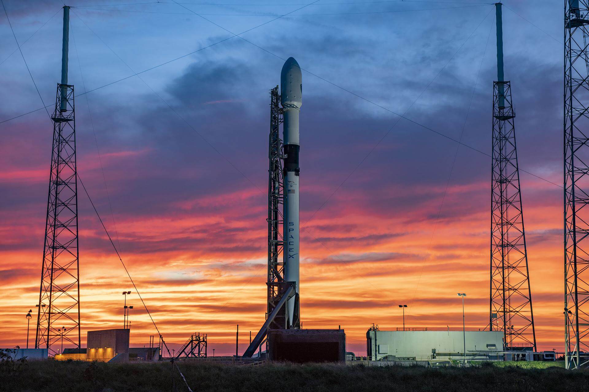
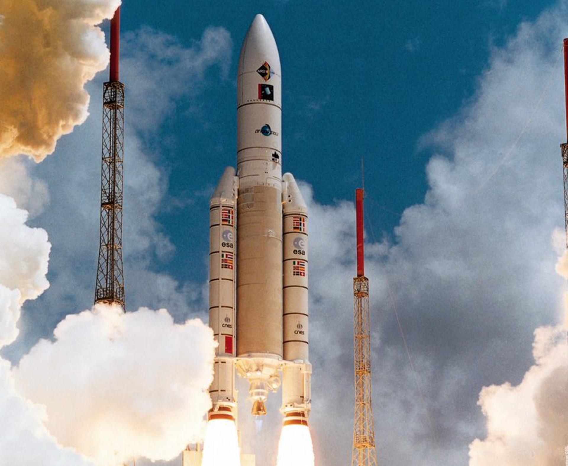
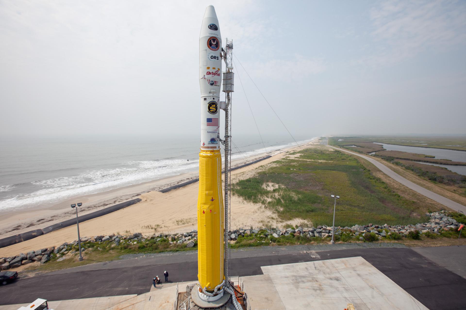
{ "count": 7507, "next": "https://ll.thespacedevs.com/2.0.0/launch/?format=api&limit=10&offset=6500&ordering=-id", "previous": "https://ll.thespacedevs.com/2.0.0/launch/?format=api&limit=10&offset=6480&ordering=-id", "results": [ { "id": "23e362ae-8523-4224-9447-d05c4db03b8f", "url": "https://ll.thespacedevs.com/2.0.0/launch/23e362ae-8523-4224-9447-d05c4db03b8f/?format=api", "launch_library_id": 1525, "slug": "falcon-9-block-5-gps-iii-sv04", "name": "Falcon 9 Block 5 | GPS III SV04", "status": { "id": 3, "name": "Success" }, "net": "2020-11-05T23:24:23Z", "window_end": "2020-11-05T23:39:00Z", "window_start": "2020-11-05T23:24:00Z", "inhold": false, "tbdtime": false, "tbddate": false, "probability": 80, "holdreason": "", "failreason": "", "hashtag": null, "launch_service_provider": { "id": 121, "url": "https://ll.thespacedevs.com/2.0.0/agencies/121/?format=api", "name": "SpaceX", "type": "Commercial" }, "rocket": { "id": 148, "configuration": { "id": 164, "launch_library_id": 188, "url": "https://ll.thespacedevs.com/2.0.0/config/launcher/164/?format=api", "name": "Falcon 9", "family": "Falcon", "full_name": "Falcon 9 Block 5", "variant": "Block 5" } }, "mission": { "id": 1192, "launch_library_id": 1351, "name": "GPS III SV04 \"Sacagawea\"", "description": "GPS-IIIA (Global Positioning System) is the first evolution stage of the third generation of the GPS satellites. It consists of the first ten (known as \"tranche\") of GPS III satellites.", "launch_designator": null, "type": "Navigation", "orbit": { "id": 12, "name": "Medium Earth Orbit", "abbrev": "MEO" } }, "pad": { "id": 80, "url": "https://ll.thespacedevs.com/2.0.0/pad/80/?format=api", "agency_id": 121, "name": "Space Launch Complex 40", "info_url": null, "wiki_url": "https://en.wikipedia.org/wiki/Cape_Canaveral_Air_Force_Station_Space_Launch_Complex_40", "map_url": "https://www.google.com/maps?q=28.56194122,-80.57735736", "latitude": "28.56194122", "longitude": "-80.57735736", "location": { "id": 12, "url": "https://ll.thespacedevs.com/2.0.0/location/12/?format=api", "name": "Cape Canaveral SFS, FL, USA", "country_code": "USA", "map_image": "https://thespacedevs-prod.nyc3.digitaloceanspaces.com/media/map_images/location_12_20200803142519.jpg", "total_launch_count": 1025, "total_landing_count": 64 }, "map_image": "https://thespacedevs-prod.nyc3.digitaloceanspaces.com/media/map_images/pad_80_20200803143323.jpg", "total_launch_count": 309 }, "webcast_live": false, "image": "https://thespacedevs-prod.nyc3.digitaloceanspaces.com/media/images/falcon2520925_image_20201002141008.jpeg", "infographic": null, "program": [ { "id": 29, "url": "https://ll.thespacedevs.com/2.0.0/program/29/?format=api", "name": "Global Positioning System", "description": "The Global Positioning System (GPS), originally Navstar GPS, is a satellite-based radio navigation system owned by the United States government and operated by the United States Space Force. It is one of the global navigation satellite systems (GNSS) that provide geolocation and time information to a GPS receiver anywhere on or near the Earth where there is an unobstructed line of sight to four or more GPS satellites.", "agencies": [ { "id": 1041, "url": "https://ll.thespacedevs.com/2.0.0/agencies/1041/?format=api", "name": "United States Space Force", "type": "Government" } ], "image_url": "https://thespacedevs-prod.nyc3.digitaloceanspaces.com/media/images/global2520posi_program_20231229182501.png", "start_date": "1978-02-22T00:00:00Z", "end_date": null, "info_url": "https://www.gps.gov/", "wiki_url": "https://en.wikipedia.org/wiki/Global_Positioning_System" } ] }, { "id": "23cea0c4-31db-4daf-a443-6afaed6d42db", "url": "https://ll.thespacedevs.com/2.0.0/launch/23cea0c4-31db-4daf-a443-6afaed6d42db/?format=api", "launch_library_id": 1449, "slug": "ariane-5-g-pas-1r-amsat-p3d-strv-1c-strv-1d", "name": "Ariane 5 G | PAS-1R, Amsat P3D, STRV 1C, STRV 1D", "status": { "id": 3, "name": "Success" }, "net": "2000-11-16T01:07:07Z", "window_end": "2000-11-16T01:07:07Z", "window_start": "2000-11-16T01:07:07Z", "inhold": false, "tbdtime": false, "tbddate": false, "probability": null, "holdreason": "", "failreason": "", "hashtag": null, "launch_service_provider": { "id": 115, "url": "https://ll.thespacedevs.com/2.0.0/agencies/115/?format=api", "name": "Arianespace", "type": "Commercial" }, "rocket": { "id": 460, "configuration": { "id": 131, "launch_library_id": 156, "url": "https://ll.thespacedevs.com/2.0.0/config/launcher/131/?format=api", "name": "Ariane 5 G", "family": "Ariane", "full_name": "Ariane 5 G", "variant": "G" } }, "mission": { "id": 582, "launch_library_id": 760, "name": "PAS-1R, Amsat P3D, STRV 1C, STRV 1D", "description": "PAS-1R a commications satellite located at 40 degrees west, serving the Americas, the Caribbean, Europe and Africa, operated by PanAmSat. Amsat P3D was an amateur radio satellite built and operated by AmSat. STRV was a series of four satellites operated by the UK MoD, intended to test new technologies, two were launched on this vehicle.", "launch_designator": null, "type": "Dedicated Rideshare", "orbit": { "id": 2, "name": "Geostationary Transfer Orbit", "abbrev": "GTO" } }, "pad": { "id": 77, "url": "https://ll.thespacedevs.com/2.0.0/pad/77/?format=api", "agency_id": 115, "name": "Ariane Launch Area 3", "info_url": null, "wiki_url": "http://en.wikipedia.org/wiki/ELA-3", "map_url": "https://www.google.com/maps?q=5.239,-52.768", "latitude": "5.239", "longitude": "-52.768", "location": { "id": 13, "url": "https://ll.thespacedevs.com/2.0.0/location/13/?format=api", "name": "Guiana Space Centre, French Guiana", "country_code": "GUF", "map_image": "https://thespacedevs-prod.nyc3.digitaloceanspaces.com/media/map_images/location_13_20200803142412.jpg", "total_launch_count": 325, "total_landing_count": 0 }, "map_image": "https://thespacedevs-prod.nyc3.digitaloceanspaces.com/media/map_images/pad_77_20200803143458.jpg", "total_launch_count": 118 }, "webcast_live": false, "image": "https://thespacedevs-prod.nyc3.digitaloceanspaces.com/media/images/ariane252052520g_image_20190222030331.jpeg", "infographic": null, "program": [] }, { "id": "23bf399a-fae9-412b-affc-9d165dbd69c0", "url": "https://ll.thespacedevs.com/2.0.0/launch/23bf399a-fae9-412b-affc-9d165dbd69c0/?format=api", "launch_library_id": 702, "slug": "minotaur-i-ors-1-usa-231", "name": "Minotaur I | ORS-1 (USA-231)", "status": { "id": 3, "name": "Success" }, "net": "2011-06-30T03:09:00Z", "window_end": "2011-06-30T03:09:00Z", "window_start": "2011-06-30T03:09:00Z", "inhold": false, "tbdtime": false, "tbddate": false, "probability": -1, "holdreason": "", "failreason": null, "hashtag": null, "launch_service_provider": { "id": 100, "url": "https://ll.thespacedevs.com/2.0.0/agencies/100/?format=api", "name": "Orbital Sciences Corporation", "type": "Commercial" }, "rocket": { "id": 1532, "configuration": { "id": 175, "launch_library_id": 19, "url": "https://ll.thespacedevs.com/2.0.0/config/launcher/175/?format=api", "name": "Minotaur I", "family": "Minotaur", "full_name": "Minotaur I", "variant": "" } }, "mission": { "id": 406, "launch_library_id": 543, "name": "ORS-1 (USA-231)", "description": "ORS-1 satellite is designed to provide orbital space imagery of Southwest Asia and to enhance battlespace awareness to operational field commanders.", "launch_designator": null, "type": "Government/Top Secret", "orbit": { "id": 8, "name": "Low Earth Orbit", "abbrev": "LEO" } }, "pad": { "id": 56, "url": "https://ll.thespacedevs.com/2.0.0/pad/56/?format=api", "agency_id": 44, "name": "Launch Area 0 B", "info_url": null, "wiki_url": "https://en.wikipedia.org/wiki/Mid-Atlantic_Regional_Spaceport_Launch_Pad_0#Pad-0B", "map_url": "https://www.google.com/maps?q=37.831,-75.4911", "latitude": "37.831", "longitude": "-75.4911", "location": { "id": 21, "url": "https://ll.thespacedevs.com/2.0.0/location/21/?format=api", "name": "Wallops Flight Facility, Virginia, USA", "country_code": "USA", "map_image": "https://thespacedevs-prod.nyc3.digitaloceanspaces.com/media/map_images/location_21_20200803142423.jpg", "total_launch_count": 80, "total_landing_count": 0 }, "map_image": "https://thespacedevs-prod.nyc3.digitaloceanspaces.com/media/map_images/pad_56_20200803143541.jpg", "total_launch_count": 8 }, "webcast_live": false, "image": "https://thespacedevs-prod.nyc3.digitaloceanspaces.com/media/images/minotaur2520i_image_20190224012247.jpeg", "infographic": null, "program": [] }, { "id": "23ba3860-a7e8-4a81-8f41-9c9958e34e38", "url": "https://ll.thespacedevs.com/2.0.0/launch/23ba3860-a7e8-4a81-8f41-9c9958e34e38/?format=api", "launch_library_id": null, "slug": "kinetica-1-flight-3", "name": "Kinetica 1 | Flight 3", "status": { "id": 3, "name": "Success" }, "net": "2024-01-23T04:03:00Z", "window_end": "2024-01-23T04:16:00Z", "window_start": "2024-01-23T03:52:00Z", "inhold": false, "tbdtime": false, "tbddate": false, "probability": null, "holdreason": "", "failreason": "", "hashtag": null, "launch_service_provider": { "id": 1040, "url": "https://ll.thespacedevs.com/2.0.0/agencies/1040/?format=api", "name": "CAS Space", "type": "Commercial" }, "rocket": { "id": 8173, "configuration": { "id": 483, "launch_library_id": null, "url": "https://ll.thespacedevs.com/2.0.0/config/launcher/483/?format=api", "name": "Kinetica 1", "family": "", "full_name": "Kinetica 1", "variant": "" } }, "mission": { "id": 6740, "launch_library_id": null, "name": "Flight 3", "description": "Carries 5 Earth and spatial observation satellites manufactured by MINOSPACE; details TBD:\r\n\r\n* Taijing-1-03\r\n* Taijing-2-02\r\n* Taijing-2-04\r\n* Taijing-3-02\r\n* Taijing-4-03", "launch_designator": null, "type": "Earth Science", "orbit": { "id": 17, "name": "Sun-Synchronous Orbit", "abbrev": "SSO" } }, "pad": { "id": 151, "url": "https://ll.thespacedevs.com/2.0.0/pad/151/?format=api", "agency_id": null, "name": "Launch Area 130", "info_url": null, "wiki_url": "https://en.wikipedia.org/wiki/Jiuquan_Satellite_Launch_Center", "map_url": "https://www.google.com/maps?q=40.8182,100.22514", "latitude": "40.8182", "longitude": "100.22514", "location": { "id": 17, "url": "https://ll.thespacedevs.com/2.0.0/location/17/?format=api", "name": "Jiuquan Satellite Launch Center, People's Republic of China", "country_code": "CHN", "map_image": "https://thespacedevs-prod.nyc3.digitaloceanspaces.com/media/map_images/location_17_20200803142429.jpg", "total_launch_count": 251, "total_landing_count": 0 }, "map_image": "https://thespacedevs-prod.nyc3.digitaloceanspaces.com/media/map_images/pad_151_20200803143425.jpg", "total_launch_count": 7 }, "webcast_live": false, "image": "https://thespacedevs-prod.nyc3.digitaloceanspaces.com/media/images/kinetica25201_image_20240123092350.jpeg", "infographic": null, "program": [] }, { "id": "23b1dac9-9ba6-473a-bcf4-94b0a21ea1b9", "url": "https://ll.thespacedevs.com/2.0.0/launch/23b1dac9-9ba6-473a-bcf4-94b0a21ea1b9/?format=api", "launch_library_id": 1561, "slug": "atlas-v-401-nrol-24-usa-198", "name": "Atlas V 401 | NROL-24 (USA-198)", "status": { "id": 3, "name": "Success" }, "net": "2007-12-10T22:05:00Z", "window_end": "2007-12-10T22:05:00Z", "window_start": "2007-12-10T22:05:00Z", "inhold": false, "tbdtime": false, "tbddate": false, "probability": 0, "holdreason": "", "failreason": "", "hashtag": "", "launch_service_provider": { "id": 124, "url": "https://ll.thespacedevs.com/2.0.0/agencies/124/?format=api", "name": "United Launch Alliance", "type": "Commercial" }, "rocket": { "id": 1386, "configuration": { "id": 16, "launch_library_id": 26, "url": "https://ll.thespacedevs.com/2.0.0/config/launcher/16/?format=api", "name": "Atlas V 401", "family": "Atlas", "full_name": "Atlas V 401", "variant": "401" } }, "mission": { "id": 544, "launch_library_id": 718, "name": "NROL-24 (USA-198)", "description": "A military reconnaissance satellite, it's purpose is classified.", "launch_designator": null, "type": "Government/Top Secret", "orbit": { "id": 0, "name": "Elliptical Orbit", "abbrev": "Elliptical" } }, "pad": { "id": 29, "url": "https://ll.thespacedevs.com/2.0.0/pad/29/?format=api", "agency_id": null, "name": "Space Launch Complex 41", "info_url": null, "wiki_url": "https://en.wikipedia.org/wiki/Cape_Canaveral_Air_Force_Station_Space_Launch_Complex_41", "map_url": "https://www.google.com/maps?q=28.58341025,-80.58303644", "latitude": "28.58341025", "longitude": "-80.58303644", "location": { "id": 12, "url": "https://ll.thespacedevs.com/2.0.0/location/12/?format=api", "name": "Cape Canaveral SFS, FL, USA", "country_code": "USA", "map_image": "https://thespacedevs-prod.nyc3.digitaloceanspaces.com/media/map_images/location_12_20200803142519.jpg", "total_launch_count": 1025, "total_landing_count": 64 }, "map_image": "https://thespacedevs-prod.nyc3.digitaloceanspaces.com/media/map_images/pad_29_20200803143528.jpg", "total_launch_count": 115 }, "webcast_live": false, "image": "https://thespacedevs-prod.nyc3.digitaloceanspaces.com/media/images/atlas_v_image_20201212013334.jpeg", "infographic": null, "program": [] }, { "id": "239e05a1-55cd-497f-a85d-0148e6324f3f", "url": "https://ll.thespacedevs.com/2.0.0/launch/239e05a1-55cd-497f-a85d-0148e6324f3f/?format=api", "launch_library_id": null, "slug": "tsiklon-2-us-pm-3", "name": "Tsiklon-2 | US-PM 3", "status": { "id": 3, "name": "Success" }, "net": "1993-07-07T07:15:00Z", "window_end": "1993-07-07T07:15:00Z", "window_start": "1993-07-07T07:15:00Z", "inhold": false, "tbdtime": false, "tbddate": false, "probability": null, "holdreason": "", "failreason": null, "hashtag": null, "launch_service_provider": { "id": 63, "url": "https://ll.thespacedevs.com/2.0.0/agencies/63/?format=api", "name": "Russian Federal Space Agency (ROSCOSMOS)", "type": "Government" }, "rocket": { "id": 6531, "configuration": { "id": 443, "launch_library_id": null, "url": "https://ll.thespacedevs.com/2.0.0/config/launcher/443/?format=api", "name": "Tsiklon-2", "family": "Tsiklon", "full_name": "Tsiklon-2", "variant": "2" } }, "mission": { "id": 4921, "launch_library_id": null, "name": "US-PM 3", "description": "US-PM (Upravlenniye Sputnik Passivny Modifikirovanny) (also reported as US-PU) was a solar powered improved EORSAT (Electronic Ocean Reconnaissance Satellite). It used an passive ELINT devices to track naval vessels from space by registering their electronic emmissions.", "launch_designator": null, "type": "Government/Top Secret", "orbit": { "id": 8, "name": "Low Earth Orbit", "abbrev": "LEO" } }, "pad": { "id": 134, "url": "https://ll.thespacedevs.com/2.0.0/pad/134/?format=api", "agency_id": null, "name": "90/20", "info_url": null, "wiki_url": "https://en.wikipedia.org/wiki/Baikonur_Cosmodrome_Site_90", "map_url": "https://www.google.com/maps?q=46.081,62.929806", "latitude": "46.081", "longitude": "62.929806", "location": { "id": 15, "url": "https://ll.thespacedevs.com/2.0.0/location/15/?format=api", "name": "Baikonur Cosmodrome, Republic of Kazakhstan", "country_code": "KAZ", "map_image": "https://thespacedevs-prod.nyc3.digitaloceanspaces.com/media/map_images/location_15_20200803142517.jpg", "total_launch_count": 1555, "total_landing_count": 0 }, "map_image": "https://thespacedevs-prod.nyc3.digitaloceanspaces.com/media/map_images/pad_134_20200803143259.jpg", "total_launch_count": 23 }, "webcast_live": false, "image": "https://thespacedevs-prod.nyc3.digitaloceanspaces.com/media/images/tsyklon-2_lifto_image_20240411113159.jpg", "infographic": null, "program": [] }, { "id": "23992957-afa4-403b-a13d-56bc43788fdf", "url": "https://ll.thespacedevs.com/2.0.0/launch/23992957-afa4-403b-a13d-56bc43788fdf/?format=api", "launch_library_id": null, "slug": "proton-kdm-ekran-7", "name": "Proton-K/DM | Ekran", "status": { "id": 3, "name": "Success" }, "net": "1979-10-03T17:12:00Z", "window_end": "1979-10-03T17:12:00Z", "window_start": "1979-10-03T17:12:00Z", "inhold": false, "tbdtime": false, "tbddate": false, "probability": null, "holdreason": "", "failreason": null, "hashtag": null, "launch_service_provider": { "id": 66, "url": "https://ll.thespacedevs.com/2.0.0/agencies/66/?format=api", "name": "Soviet Space Program", "type": "Government" }, "rocket": { "id": 5117, "configuration": { "id": 349, "launch_library_id": null, "url": "https://ll.thespacedevs.com/2.0.0/config/launcher/349/?format=api", "name": "Proton-K/DM", "family": "Proton / UR-500", "full_name": "Proton-K/DM", "variant": "DM" } }, "mission": { "id": 3186, "launch_library_id": null, "name": "Ekran", "description": "Ekran was a Soviet series of geostationary satellites which were the first in the world to provide Direct-To-Home TV service.", "launch_designator": null, "type": "Communications", "orbit": { "id": 1, "name": "Geostationary Orbit", "abbrev": "Direct-GEO" } }, "pad": { "id": 130, "url": "https://ll.thespacedevs.com/2.0.0/pad/130/?format=api", "agency_id": null, "name": "200/40", "info_url": null, "wiki_url": "https://en.wikipedia.org/wiki/Baikonur_Cosmodrome_Site_200", "map_url": "https://www.google.com/maps?q=46.0336111,63.0266949", "latitude": "46.0336111", "longitude": "63.0266949", "location": { "id": 15, "url": "https://ll.thespacedevs.com/2.0.0/location/15/?format=api", "name": "Baikonur Cosmodrome, Republic of Kazakhstan", "country_code": "KAZ", "map_image": "https://thespacedevs-prod.nyc3.digitaloceanspaces.com/media/map_images/location_15_20200803142517.jpg", "total_launch_count": 1555, "total_landing_count": 0 }, "map_image": "https://thespacedevs-prod.nyc3.digitaloceanspaces.com/media/map_images/pad_130_20200803143249.jpg", "total_launch_count": 64 }, "webcast_live": false, "image": "https://thespacedevs-prod.nyc3.digitaloceanspaces.com/media/images/proton_image_20231231095535.jpg", "infographic": null, "program": [] }, { "id": "238d4548-c546-4214-9fee-1bebd7da8396", "url": "https://ll.thespacedevs.com/2.0.0/launch/238d4548-c546-4214-9fee-1bebd7da8396/?format=api", "launch_library_id": null, "slug": "molniya-m-molniya-3-39l", "name": "Molniya-M | Molniya-3 39L", "status": { "id": 3, "name": "Success" }, "net": "1985-05-29T07:40:44Z", "window_end": "1985-05-29T07:40:44Z", "window_start": "1985-05-29T07:40:44Z", "inhold": false, "tbdtime": false, "tbddate": false, "probability": null, "holdreason": "", "failreason": null, "hashtag": null, "launch_service_provider": { "id": 66, "url": "https://ll.thespacedevs.com/2.0.0/agencies/66/?format=api", "name": "Soviet Space Program", "type": "Government" }, "rocket": { "id": 5747, "configuration": { "id": 106, "launch_library_id": 126, "url": "https://ll.thespacedevs.com/2.0.0/config/launcher/106/?format=api", "name": "Molniya-M", "family": "R-7", "full_name": "Molniya-M 2BL", "variant": "2BL" } }, "mission": { "id": 4147, "launch_library_id": null, "name": "Molniya-3 39L", "description": "Molniya communication satellites operating from a highly elliptical orbit", "launch_designator": null, "type": "Communications", "orbit": { "id": 0, "name": "Elliptical Orbit", "abbrev": "Elliptical" } }, "pad": { "id": 85, "url": "https://ll.thespacedevs.com/2.0.0/pad/85/?format=api", "agency_id": 163, "name": "43/4 (43R)", "info_url": null, "wiki_url": null, "map_url": "https://www.google.com/maps?q=62.92883,40.457098", "latitude": "62.92883", "longitude": "40.457098", "location": { "id": 6, "url": "https://ll.thespacedevs.com/2.0.0/location/6/?format=api", "name": "Plesetsk Cosmodrome, Russian Federation", "country_code": "RUS", "map_image": "https://thespacedevs-prod.nyc3.digitaloceanspaces.com/media/map_images/location_6_20200803142434.jpg", "total_launch_count": 1675, "total_landing_count": 0 }, "map_image": "https://thespacedevs-prod.nyc3.digitaloceanspaces.com/media/map_images/pad_85_20200803143554.jpg", "total_launch_count": 324 }, "webcast_live": false, "image": null, "infographic": null, "program": [] }, { "id": "237d1609-d1ed-4e33-98af-cd1082de3809", "url": "https://ll.thespacedevs.com/2.0.0/launch/237d1609-d1ed-4e33-98af-cd1082de3809/?format=api", "launch_library_id": null, "slug": "titan-34b-quasar-2", "name": "Titan 34B | Quasar 2", "status": { "id": 3, "name": "Success" }, "net": "1976-08-06T22:21:00Z", "window_end": "1976-08-06T22:21:00Z", "window_start": "1976-08-06T22:21:00Z", "inhold": false, "tbdtime": false, "tbddate": false, "probability": null, "holdreason": "", "failreason": null, "hashtag": null, "launch_service_provider": { "id": 161, "url": "https://ll.thespacedevs.com/2.0.0/agencies/161/?format=api", "name": "United States Air Force", "type": "Government" }, "rocket": { "id": 4743, "configuration": { "id": 423, "launch_library_id": null, "url": "https://ll.thespacedevs.com/2.0.0/config/launcher/423/?format=api", "name": "Titan 34B", "family": "Titan", "full_name": "Titan 34B", "variant": "34B" } }, "mission": { "id": 3161, "launch_library_id": null, "name": "Quasar 2", "description": "Communication relay satellite for US reconnaissance satellites", "launch_designator": null, "type": "Government/Top Secret", "orbit": { "id": 0, "name": "Elliptical Orbit", "abbrev": "Elliptical" } }, "pad": { "id": 156, "url": "https://ll.thespacedevs.com/2.0.0/pad/156/?format=api", "agency_id": null, "name": "Space Launch Complex 4W", "info_url": "http://www.astronautix.com/v/vandenbergslc4w.html", "wiki_url": "https://en.wikipedia.org/wiki/Vandenberg_Air_Force_Base_Space_Launch_Complex_4#SLC-4W", "map_url": "https://www.google.com/maps?q=34.63312,-120.61584", "latitude": "34.63312", "longitude": "-120.61584", "location": { "id": 11, "url": "https://ll.thespacedevs.com/2.0.0/location/11/?format=api", "name": "Vandenberg SFB, CA, USA", "country_code": "USA", "map_image": "https://thespacedevs-prod.nyc3.digitaloceanspaces.com/media/map_images/location_11_20200803142416.jpg", "total_launch_count": 808, "total_landing_count": 26 }, "map_image": "https://thespacedevs-prod.nyc3.digitaloceanspaces.com/media/map_images/pad_156_20200803143351.jpg", "total_launch_count": 93 }, "webcast_live": false, "image": null, "infographic": null, "program": [] }, { "id": "23538a9d-d745-4944-aec8-294c8f773cbf", "url": "https://ll.thespacedevs.com/2.0.0/launch/23538a9d-d745-4944-aec8-294c8f773cbf/?format=api", "launch_library_id": null, "slug": "atlas-able-p-30-able-va", "name": "Atlas-Able | P-30 (Able VA)", "status": { "id": 4, "name": "Failure" }, "net": "1960-09-25T15:13:17Z", "window_end": "1960-09-25T15:13:17Z", "window_start": "1960-09-25T15:13:17Z", "inhold": false, "tbdtime": false, "tbddate": false, "probability": null, "holdreason": "", "failreason": null, "hashtag": null, "launch_service_provider": { "id": 161, "url": "https://ll.thespacedevs.com/2.0.0/agencies/161/?format=api", "name": "United States Air Force", "type": "Government" }, "rocket": { "id": 3080, "configuration": { "id": 230, "launch_library_id": null, "url": "https://ll.thespacedevs.com/2.0.0/config/launcher/230/?format=api", "name": "Atlas-Able", "family": "Atlas", "full_name": "Atlas-Able", "variant": "" } }, "mission": { "id": 1502, "launch_library_id": null, "name": "P-30 (Able VA)", "description": "An intended lunar orbiter probe. The vehicle failed during launch.", "launch_designator": null, "type": "Lunar Exploration", "orbit": { "id": 11, "name": "Lunar Orbit", "abbrev": "LO" } }, "pad": { "id": 99, "url": "https://ll.thespacedevs.com/2.0.0/pad/99/?format=api", "agency_id": 161, "name": "Launch Complex 12", "info_url": null, "wiki_url": "https://en.wikipedia.org/wiki/Cape_Canaveral_Air_Force_Station_Launch_Complex_12", "map_url": "https://www.google.com/maps?q=28.480607,-80.541938", "latitude": "28.480607", "longitude": "-80.541938", "location": { "id": 12, "url": "https://ll.thespacedevs.com/2.0.0/location/12/?format=api", "name": "Cape Canaveral SFS, FL, USA", "country_code": "USA", "map_image": "https://thespacedevs-prod.nyc3.digitaloceanspaces.com/media/map_images/location_12_20200803142519.jpg", "total_launch_count": 1025, "total_landing_count": 64 }, "map_image": "https://thespacedevs-prod.nyc3.digitaloceanspaces.com/media/map_images/pad_99_20200803143435.jpg", "total_launch_count": 23 }, "webcast_live": false, "image": "https://thespacedevs-prod.nyc3.digitaloceanspaces.com/media/images/atlas-d_able_on_image_20240411161010.jpeg", "infographic": null, "program": [] } ] }