Launch List
API endpoint that returns all Launch objects or a single launch.
EXAMPLE - /launch/
GET: Return a list of all Launch objects.
FILTERS: Fields - 'name', 'id(s)', 'lsp_id', 'lsp_name', 'serial_number', 'launcher_config__id', 'rocket__spacecraftflight__spacecraft__name'
MODE: 'normal', 'list', 'detailed' EXAMPLE: ?mode=list
SEARCH: Searches through the launch name, rocket name, launch agency, mission name & spacecraft name. EXAMPLE - ?search=SpaceX
GET /2.0.0/launch/?format=api&offset=6430&ordering=-name
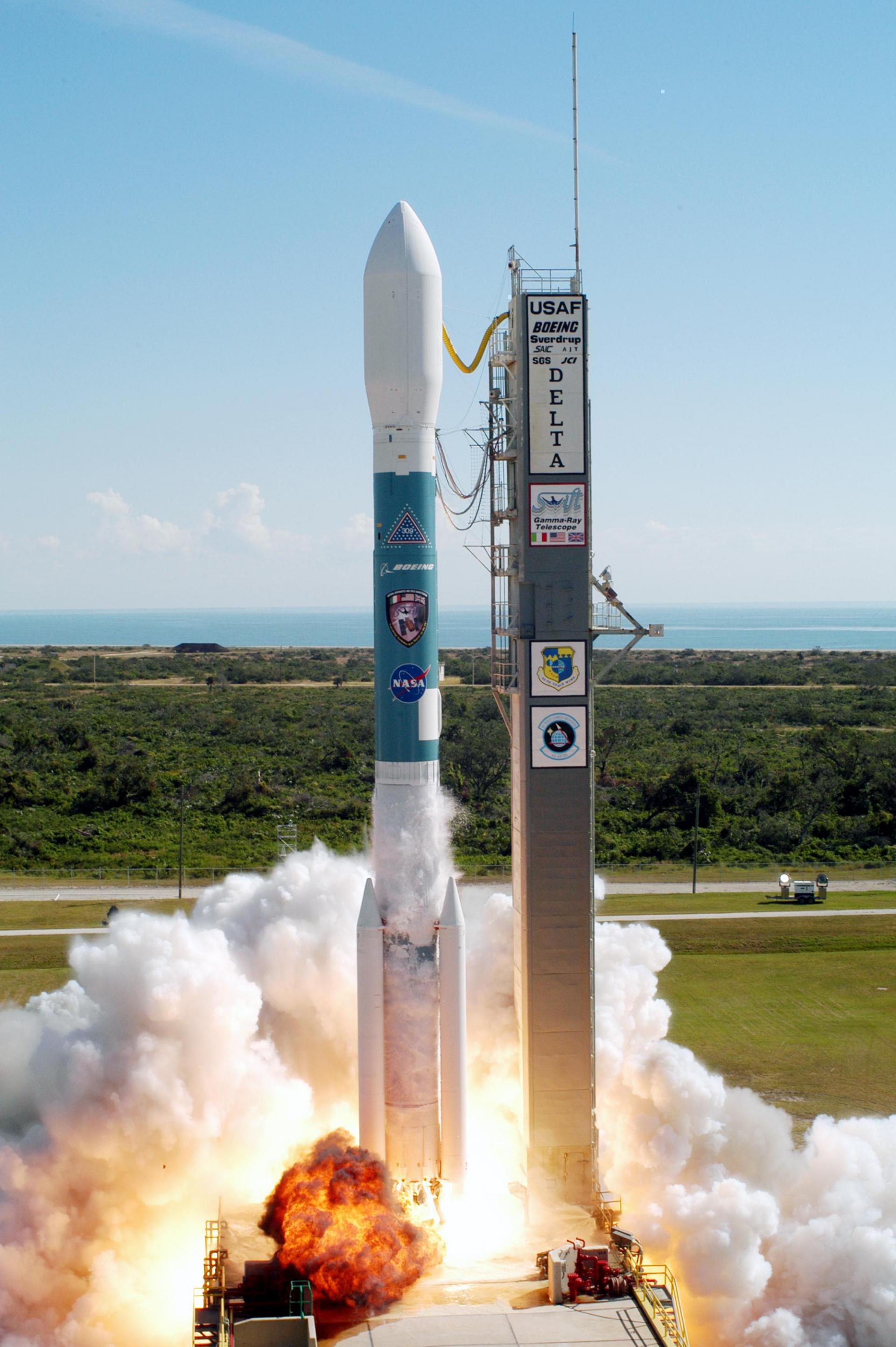
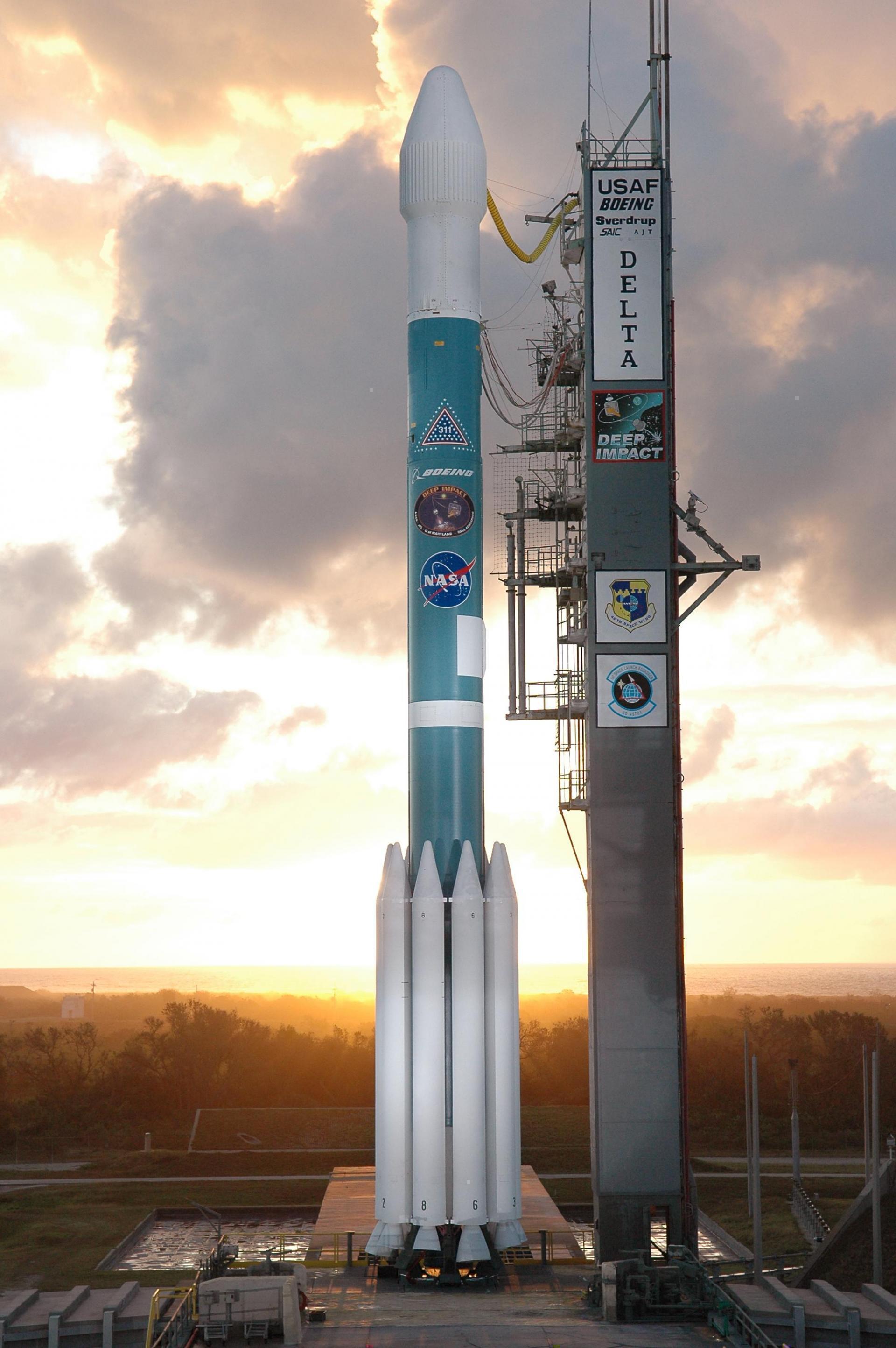
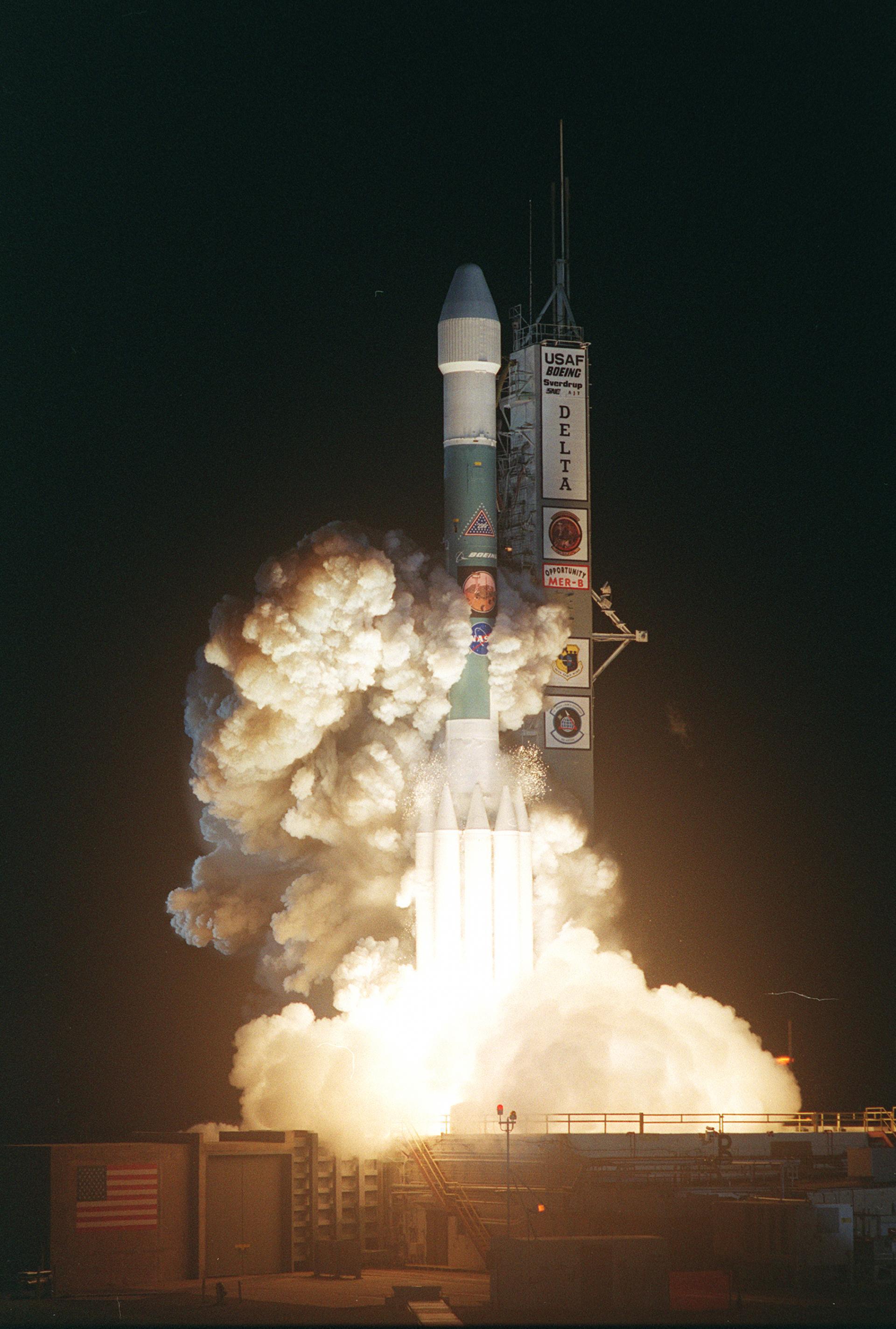
{ "count": 7507, "next": "https://ll.thespacedevs.com/2.0.0/launch/?format=api&limit=10&offset=6440&ordering=-name", "previous": "https://ll.thespacedevs.com/2.0.0/launch/?format=api&limit=10&offset=6420&ordering=-name", "results": [ { "id": "85bde53f-596d-44dc-bb8e-e0490714da6b", "url": "https://ll.thespacedevs.com/2.0.0/launch/85bde53f-596d-44dc-bb8e-e0490714da6b/?format=api", "launch_library_id": null, "slug": "delta-ii-nrol-17", "name": "Delta II | NROL-17", "status": { "id": 3, "name": "Success" }, "net": "2001-05-18T17:45:01Z", "window_end": "2001-05-18T17:45:01Z", "window_start": "2001-05-18T17:45:01Z", "inhold": false, "tbdtime": false, "tbddate": false, "probability": null, "holdreason": "", "failreason": "", "hashtag": null, "launch_service_provider": { "id": 161, "url": "https://ll.thespacedevs.com/2.0.0/agencies/161/?format=api", "name": "United States Air Force", "type": "Government" }, "rocket": { "id": 7041, "configuration": { "id": 140, "launch_library_id": 181, "url": "https://ll.thespacedevs.com/2.0.0/config/launcher/140/?format=api", "name": "Delta II", "family": "Delta", "full_name": "Delta II 7925-9.5", "variant": "7925-9.5" } }, "mission": { "id": 5430, "launch_library_id": null, "name": "NROL-17 (GeoLITE)", "description": "GeoLITE was a TRW T-310 class satellite with a mass of about 1800 kg, including a solid apogee motor.", "launch_designator": null, "type": "Communications", "orbit": { "id": 2, "name": "Geostationary Transfer Orbit", "abbrev": "GTO" } }, "pad": { "id": 1, "url": "https://ll.thespacedevs.com/2.0.0/pad/1/?format=api", "agency_id": null, "name": "Space Launch Complex 17B", "info_url": null, "wiki_url": "https://en.wikipedia.org/wiki/Cape_Canaveral_Space_Launch_Complex_17", "map_url": "https://www.google.com/maps?q=28.4458,-80.5657", "latitude": "28.4458", "longitude": "-80.5657", "location": { "id": 12, "url": "https://ll.thespacedevs.com/2.0.0/location/12/?format=api", "name": "Cape Canaveral SFS, FL, USA", "country_code": "USA", "map_image": "https://thespacedevs-prod.nyc3.digitaloceanspaces.com/media/map_images/location_12_20200803142519.jpg", "total_launch_count": 1025, "total_landing_count": 64 }, "map_image": "https://thespacedevs-prod.nyc3.digitaloceanspaces.com/media/map_images/pad_1_20200803143208.jpg", "total_launch_count": 132 }, "webcast_live": false, "image": "https://thespacedevs-prod.nyc3.digitaloceanspaces.com/media/images/delta_ii_7925-9_image_20240312090356.jpeg", "infographic": null, "program": [] }, { "id": "c053d208-e696-433f-b030-c17276e5720b", "url": "https://ll.thespacedevs.com/2.0.0/launch/c053d208-e696-433f-b030-c17276e5720b/?format=api", "launch_library_id": null, "slug": "delta-ii-noaa-18", "name": "Delta II | NOAA 18", "status": { "id": 3, "name": "Success" }, "net": "2005-05-20T10:22:01Z", "window_end": "2005-05-20T10:22:01Z", "window_start": "2005-05-20T10:22:01Z", "inhold": false, "tbdtime": false, "tbddate": false, "probability": null, "holdreason": "", "failreason": null, "hashtag": null, "launch_service_provider": { "id": 161, "url": "https://ll.thespacedevs.com/2.0.0/agencies/161/?format=api", "name": "United States Air Force", "type": "Government" }, "rocket": { "id": 7225, "configuration": { "id": 56, "launch_library_id": 78, "url": "https://ll.thespacedevs.com/2.0.0/config/launcher/56/?format=api", "name": "Delta II", "family": "Delta", "full_name": "Delta II 7320-10C", "variant": "7320-10C" } }, "mission": { "id": 5614, "launch_library_id": null, "name": "NOAA 18", "description": "NOAA-18, known before launch as NOAA-N, is a weather forecasting satellite run by NOAA. NOAA-N (18) was launched on May 20, 2005, into a sun-synchronous orbit at an altitude of 854 km above the Earth, with an orbital period of 102 minutes. It hosts the AMSU-A, MHS, AVHRR, Space Environment Monitor SEM/2 instrument and High Resolution Infrared Radiation Sounder (HIRS) instruments, as well as the SBUV/2 ozone-monitoring instrument. It is the first NOAA POES satellite to use MHS in place of AMSU-B. NOAA-18 also hosts Cospas-Sarsat payloads.", "launch_designator": null, "type": "Earth Science", "orbit": { "id": 17, "name": "Sun-Synchronous Orbit", "abbrev": "SSO" } }, "pad": { "id": 39, "url": "https://ll.thespacedevs.com/2.0.0/pad/39/?format=api", "agency_id": null, "name": "Space Launch Complex 2W", "info_url": null, "wiki_url": "https://en.wikipedia.org/wiki/Vandenberg_Space_Launch_Complex_2", "map_url": "https://www.google.com/maps?q=34.7556,-120.6224", "latitude": "34.7556", "longitude": "-120.6224", "location": { "id": 11, "url": "https://ll.thespacedevs.com/2.0.0/location/11/?format=api", "name": "Vandenberg SFB, CA, USA", "country_code": "USA", "map_image": "https://thespacedevs-prod.nyc3.digitaloceanspaces.com/media/map_images/location_11_20200803142416.jpg", "total_launch_count": 808, "total_landing_count": 26 }, "map_image": "https://thespacedevs-prod.nyc3.digitaloceanspaces.com/media/map_images/pad_39_20200803143542.jpg", "total_launch_count": 98 }, "webcast_live": false, "image": "https://thespacedevs-prod.nyc3.digitaloceanspaces.com/media/images/delta2520ii_image_20190222030834.jpeg", "infographic": null, "program": [] }, { "id": "194d3b15-9ddf-455b-bb6d-f073e600c474", "url": "https://ll.thespacedevs.com/2.0.0/launch/194d3b15-9ddf-455b-bb6d-f073e600c474/?format=api", "launch_library_id": null, "slug": "delta-ii-nato-4b", "name": "Delta II | NATO 4B", "status": { "id": 3, "name": "Success" }, "net": "1993-12-08T00:48:00Z", "window_end": "1993-12-08T00:48:00Z", "window_start": "1993-12-08T00:48:00Z", "inhold": false, "tbdtime": false, "tbddate": false, "probability": null, "holdreason": "", "failreason": null, "hashtag": null, "launch_service_provider": { "id": 161, "url": "https://ll.thespacedevs.com/2.0.0/agencies/161/?format=api", "name": "United States Air Force", "type": "Government" }, "rocket": { "id": 6561, "configuration": { "id": 159, "launch_library_id": 179, "url": "https://ll.thespacedevs.com/2.0.0/config/launcher/159/?format=api", "name": "Delta II", "family": "Delta", "full_name": "Delta II 7925", "variant": "7925" } }, "mission": { "id": 4951, "launch_library_id": null, "name": "NATO 4B", "description": "NATO-4 is the a communications satellite system serving the North Atlantic Treaty Organization (NATO) and British Ministry of Defense. NATO 4A was the first of two new-generation comsats offering secure military and diplomatic voice and data communications to NATO member nations and troops in the field. The satellites offered spot beam and global coverage to reach a wide range of ground stations and ships at sea.", "launch_designator": null, "type": "Communications", "orbit": { "id": 1, "name": "Geostationary Orbit", "abbrev": "Direct-GEO" } }, "pad": { "id": 14, "url": "https://ll.thespacedevs.com/2.0.0/pad/14/?format=api", "agency_id": null, "name": "Space Launch Complex 17A", "info_url": null, "wiki_url": "https://en.wikipedia.org/wiki/Cape_Canaveral_Space_Launch_Complex_17", "map_url": "https://www.google.com/maps?q=28.4472,-80.565", "latitude": "28.4472", "longitude": "-80.565", "location": { "id": 12, "url": "https://ll.thespacedevs.com/2.0.0/location/12/?format=api", "name": "Cape Canaveral SFS, FL, USA", "country_code": "USA", "map_image": "https://thespacedevs-prod.nyc3.digitaloceanspaces.com/media/map_images/location_12_20200803142519.jpg", "total_launch_count": 1025, "total_landing_count": 64 }, "map_image": "https://thespacedevs-prod.nyc3.digitaloceanspaces.com/media/map_images/pad_14_20200803143451.jpg", "total_launch_count": 145 }, "webcast_live": false, "image": "https://thespacedevs-prod.nyc3.digitaloceanspaces.com/media/images/delta2520ii_image_20190222030440.jpeg", "infographic": null, "program": [] }, { "id": "9cd445f4-65d8-4077-97fb-9832f88507e8", "url": "https://ll.thespacedevs.com/2.0.0/launch/9cd445f4-65d8-4077-97fb-9832f88507e8/?format=api", "launch_library_id": null, "slug": "delta-ii-nato-4a", "name": "Delta II | NATO 4A", "status": { "id": 3, "name": "Success" }, "net": "1991-01-08T00:53:01Z", "window_end": "1991-01-08T00:53:01Z", "window_start": "1991-01-08T00:53:01Z", "inhold": false, "tbdtime": false, "tbddate": false, "probability": null, "holdreason": "", "failreason": null, "hashtag": null, "launch_service_provider": { "id": 161, "url": "https://ll.thespacedevs.com/2.0.0/agencies/161/?format=api", "name": "United States Air Force", "type": "Government" }, "rocket": { "id": 6339, "configuration": { "id": 159, "launch_library_id": 179, "url": "https://ll.thespacedevs.com/2.0.0/config/launcher/159/?format=api", "name": "Delta II", "family": "Delta", "full_name": "Delta II 7925", "variant": "7925" } }, "mission": { "id": 4729, "launch_library_id": null, "name": "NATO 4A", "description": "NATO-4 is the a communications satellite system serving the North Atlantic Treaty Organization (NATO) and British Ministry of Defense. NATO 4A was the first of two new-generation comsats offering secure military and diplomatic voice and data communications to NATO member nations and troops in the field.", "launch_designator": null, "type": "Government/Top Secret", "orbit": { "id": 1, "name": "Geostationary Orbit", "abbrev": "Direct-GEO" } }, "pad": { "id": 1, "url": "https://ll.thespacedevs.com/2.0.0/pad/1/?format=api", "agency_id": null, "name": "Space Launch Complex 17B", "info_url": null, "wiki_url": "https://en.wikipedia.org/wiki/Cape_Canaveral_Space_Launch_Complex_17", "map_url": "https://www.google.com/maps?q=28.4458,-80.5657", "latitude": "28.4458", "longitude": "-80.5657", "location": { "id": 12, "url": "https://ll.thespacedevs.com/2.0.0/location/12/?format=api", "name": "Cape Canaveral SFS, FL, USA", "country_code": "USA", "map_image": "https://thespacedevs-prod.nyc3.digitaloceanspaces.com/media/map_images/location_12_20200803142519.jpg", "total_launch_count": 1025, "total_landing_count": 64 }, "map_image": "https://thespacedevs-prod.nyc3.digitaloceanspaces.com/media/map_images/pad_1_20200803143208.jpg", "total_launch_count": 132 }, "webcast_live": false, "image": "https://thespacedevs-prod.nyc3.digitaloceanspaces.com/media/images/delta2520ii_image_20190222030440.jpeg", "infographic": null, "program": [] }, { "id": "5aba87e0-fc72-428a-b149-c574a13d62f8", "url": "https://ll.thespacedevs.com/2.0.0/launch/5aba87e0-fc72-428a-b149-c574a13d62f8/?format=api", "launch_library_id": null, "slug": "delta-ii-mugunghwa-2", "name": "Delta II | Mugunghwa 2", "status": { "id": 3, "name": "Success" }, "net": "1996-01-14T11:10:00Z", "window_end": "1996-01-14T11:10:00Z", "window_start": "1996-01-14T11:10:00Z", "inhold": false, "tbdtime": false, "tbddate": false, "probability": null, "holdreason": "", "failreason": null, "hashtag": null, "launch_service_provider": { "id": 161, "url": "https://ll.thespacedevs.com/2.0.0/agencies/161/?format=api", "name": "United States Air Force", "type": "Government" }, "rocket": { "id": 6706, "configuration": { "id": 159, "launch_library_id": 179, "url": "https://ll.thespacedevs.com/2.0.0/config/launcher/159/?format=api", "name": "Delta II", "family": "Delta", "full_name": "Delta II 7925", "variant": "7925" } }, "mission": { "id": 5096, "launch_library_id": null, "name": "Mugunghwa 2", "description": "Koreasat 1 and 2, also known as Mugunghwa 1 and 2, were South Korean communications satellite launched by Delta-7925 rockets from Cape Canaveral. They were based on the Lockheed AS-3000 bus and carried 15 Ku-band transponders to provide TV coverage for South Korea and other Asian countries.", "launch_designator": null, "type": "Communications", "orbit": { "id": 1, "name": "Geostationary Orbit", "abbrev": "Direct-GEO" } }, "pad": { "id": 1, "url": "https://ll.thespacedevs.com/2.0.0/pad/1/?format=api", "agency_id": null, "name": "Space Launch Complex 17B", "info_url": null, "wiki_url": "https://en.wikipedia.org/wiki/Cape_Canaveral_Space_Launch_Complex_17", "map_url": "https://www.google.com/maps?q=28.4458,-80.5657", "latitude": "28.4458", "longitude": "-80.5657", "location": { "id": 12, "url": "https://ll.thespacedevs.com/2.0.0/location/12/?format=api", "name": "Cape Canaveral SFS, FL, USA", "country_code": "USA", "map_image": "https://thespacedevs-prod.nyc3.digitaloceanspaces.com/media/map_images/location_12_20200803142519.jpg", "total_launch_count": 1025, "total_landing_count": 64 }, "map_image": "https://thespacedevs-prod.nyc3.digitaloceanspaces.com/media/map_images/pad_1_20200803143208.jpg", "total_launch_count": 132 }, "webcast_live": false, "image": "https://thespacedevs-prod.nyc3.digitaloceanspaces.com/media/images/delta2520ii_image_20190222030440.jpeg", "infographic": null, "program": [] }, { "id": "f3f96691-7263-4ce4-b009-798eb44cf522", "url": "https://ll.thespacedevs.com/2.0.0/launch/f3f96691-7263-4ce4-b009-798eb44cf522/?format=api", "launch_library_id": null, "slug": "delta-ii-mugunghwa-1", "name": "Delta II | Mugunghwa 1", "status": { "id": 4, "name": "Failure" }, "net": "1995-08-05T11:10:00Z", "window_end": "1995-08-05T11:10:00Z", "window_start": "1995-08-05T11:10:00Z", "inhold": false, "tbdtime": false, "tbddate": false, "probability": null, "holdreason": "", "failreason": null, "hashtag": null, "launch_service_provider": { "id": 161, "url": "https://ll.thespacedevs.com/2.0.0/agencies/161/?format=api", "name": "United States Air Force", "type": "Government" }, "rocket": { "id": 6675, "configuration": { "id": 159, "launch_library_id": 179, "url": "https://ll.thespacedevs.com/2.0.0/config/launcher/159/?format=api", "name": "Delta II", "family": "Delta", "full_name": "Delta II 7925", "variant": "7925" } }, "mission": { "id": 5065, "launch_library_id": null, "name": "Mugunghwa 1", "description": "Koreasat 1 and 2, also known as Mugunghwa 1 and 2, were South Korean communications satellite launched by Delta-7925 rockets from Cape Canaveral. They were based on the Lockheed AS-3000 bus and carried 15 Ku-band transponders to provide TV coverage for South Korea and other Asian countries.", "launch_designator": null, "type": "Communications", "orbit": { "id": 1, "name": "Geostationary Orbit", "abbrev": "Direct-GEO" } }, "pad": { "id": 1, "url": "https://ll.thespacedevs.com/2.0.0/pad/1/?format=api", "agency_id": null, "name": "Space Launch Complex 17B", "info_url": null, "wiki_url": "https://en.wikipedia.org/wiki/Cape_Canaveral_Space_Launch_Complex_17", "map_url": "https://www.google.com/maps?q=28.4458,-80.5657", "latitude": "28.4458", "longitude": "-80.5657", "location": { "id": 12, "url": "https://ll.thespacedevs.com/2.0.0/location/12/?format=api", "name": "Cape Canaveral SFS, FL, USA", "country_code": "USA", "map_image": "https://thespacedevs-prod.nyc3.digitaloceanspaces.com/media/map_images/location_12_20200803142519.jpg", "total_launch_count": 1025, "total_landing_count": 64 }, "map_image": "https://thespacedevs-prod.nyc3.digitaloceanspaces.com/media/map_images/pad_1_20200803143208.jpg", "total_launch_count": 132 }, "webcast_live": false, "image": "https://thespacedevs-prod.nyc3.digitaloceanspaces.com/media/images/delta2520ii_image_20190222030440.jpeg", "infographic": null, "program": [] }, { "id": "98ddb6e1-ae85-491b-8324-7a07082e338e", "url": "https://ll.thespacedevs.com/2.0.0/launch/98ddb6e1-ae85-491b-8324-7a07082e338e/?format=api", "launch_library_id": null, "slug": "delta-ii-msx", "name": "Delta II | MSX", "status": { "id": 3, "name": "Success" }, "net": "1996-04-24T12:27:40Z", "window_end": "1996-04-24T12:27:40Z", "window_start": "1996-04-24T12:27:40Z", "inhold": false, "tbdtime": false, "tbddate": false, "probability": null, "holdreason": "", "failreason": null, "hashtag": null, "launch_service_provider": { "id": 161, "url": "https://ll.thespacedevs.com/2.0.0/agencies/161/?format=api", "name": "United States Air Force", "type": "Government" }, "rocket": { "id": 6724, "configuration": { "id": 75, "launch_library_id": 112, "url": "https://ll.thespacedevs.com/2.0.0/config/launcher/75/?format=api", "name": "Delta II", "family": "Delta", "full_name": "Delta II 7920-10", "variant": "7920-10" } }, "mission": { "id": 5114, "launch_library_id": null, "name": "MSX", "description": "MSX (Midcourse Space Experiment) demonstrated different multispectral imaging technologies to identify and track ballistic missiles during flight by observing rocket launches and orbital debris. Additionally it measured the composition and dynamics of the Earth's atmosphere by observing ozone, chloroflourocarbons, carbon dioxide and methane.", "launch_designator": null, "type": "Government/Top Secret", "orbit": { "id": 8, "name": "Low Earth Orbit", "abbrev": "LEO" } }, "pad": { "id": 39, "url": "https://ll.thespacedevs.com/2.0.0/pad/39/?format=api", "agency_id": null, "name": "Space Launch Complex 2W", "info_url": null, "wiki_url": "https://en.wikipedia.org/wiki/Vandenberg_Space_Launch_Complex_2", "map_url": "https://www.google.com/maps?q=34.7556,-120.6224", "latitude": "34.7556", "longitude": "-120.6224", "location": { "id": 11, "url": "https://ll.thespacedevs.com/2.0.0/location/11/?format=api", "name": "Vandenberg SFB, CA, USA", "country_code": "USA", "map_image": "https://thespacedevs-prod.nyc3.digitaloceanspaces.com/media/map_images/location_11_20200803142416.jpg", "total_launch_count": 808, "total_landing_count": 26 }, "map_image": "https://thespacedevs-prod.nyc3.digitaloceanspaces.com/media/map_images/pad_39_20200803143542.jpg", "total_launch_count": 98 }, "webcast_live": false, "image": "https://thespacedevs-prod.nyc3.digitaloceanspaces.com/media/images/delta2520ii_image_20190222030358.jpeg", "infographic": null, "program": [] }, { "id": "6f47d3ba-023f-4346-b1b9-4770dfadaba8", "url": "https://ll.thespacedevs.com/2.0.0/launch/6f47d3ba-023f-4346-b1b9-4770dfadaba8/?format=api", "launch_library_id": null, "slug": "delta-ii-mitex", "name": "Delta II | MITEx", "status": { "id": 3, "name": "Success" }, "net": "2006-06-21T22:15:00Z", "window_end": "2006-06-21T22:15:00Z", "window_start": "2006-06-21T22:15:00Z", "inhold": false, "tbdtime": false, "tbddate": false, "probability": null, "holdreason": "", "failreason": null, "hashtag": null, "launch_service_provider": { "id": 161, "url": "https://ll.thespacedevs.com/2.0.0/agencies/161/?format=api", "name": "United States Air Force", "type": "Government" }, "rocket": { "id": 7272, "configuration": { "id": 140, "launch_library_id": 181, "url": "https://ll.thespacedevs.com/2.0.0/config/launcher/140/?format=api", "name": "Delta II", "family": "Delta", "full_name": "Delta II 7925-9.5", "variant": "7925-9.5" } }, "mission": { "id": 5661, "launch_library_id": null, "name": "MITEx", "description": "MITEx (Micro-Satellite Technology Experiment) is an experimental U.S. military project to test whether the advanced technologies embedded in two miniature satellites and a new upper stage kick motor can operate through the rigors of spaceflight. MiTEx will investigate and demonstrate advanced space technologies such as lightweight power and propulsion systems, avionics and spacecraft structures; commercial-off-the-shelf processors; affordable, responsive fabrication/build-to-launch techniques; and single-string components. The MITEx experiment will be deployed into a geostationary transfer orbit (GTO), from which the MITEx Upper stage will put the experiments into a geostationary orbit (GEO).", "launch_designator": null, "type": "Test Flight", "orbit": { "id": 1, "name": "Geostationary Orbit", "abbrev": "Direct-GEO" } }, "pad": { "id": 14, "url": "https://ll.thespacedevs.com/2.0.0/pad/14/?format=api", "agency_id": null, "name": "Space Launch Complex 17A", "info_url": null, "wiki_url": "https://en.wikipedia.org/wiki/Cape_Canaveral_Space_Launch_Complex_17", "map_url": "https://www.google.com/maps?q=28.4472,-80.565", "latitude": "28.4472", "longitude": "-80.565", "location": { "id": 12, "url": "https://ll.thespacedevs.com/2.0.0/location/12/?format=api", "name": "Cape Canaveral SFS, FL, USA", "country_code": "USA", "map_image": "https://thespacedevs-prod.nyc3.digitaloceanspaces.com/media/map_images/location_12_20200803142519.jpg", "total_launch_count": 1025, "total_landing_count": 64 }, "map_image": "https://thespacedevs-prod.nyc3.digitaloceanspaces.com/media/map_images/pad_14_20200803143451.jpg", "total_launch_count": 145 }, "webcast_live": false, "image": "https://thespacedevs-prod.nyc3.digitaloceanspaces.com/media/images/delta_ii_7925-9_image_20240312090356.jpeg", "infographic": null, "program": [] }, { "id": "8633d5f0-ea8b-4f9c-a78b-5a48406f44df", "url": "https://ll.thespacedevs.com/2.0.0/launch/8633d5f0-ea8b-4f9c-a78b-5a48406f44df/?format=api", "launch_library_id": null, "slug": "delta-ii-messenger", "name": "Delta II | Messenger", "status": { "id": 3, "name": "Success" }, "net": "2004-08-03T06:15:57Z", "window_end": "2004-08-03T06:15:57Z", "window_start": "2004-08-03T06:15:57Z", "inhold": false, "tbdtime": false, "tbddate": false, "probability": null, "holdreason": "", "failreason": "", "hashtag": null, "launch_service_provider": { "id": 161, "url": "https://ll.thespacedevs.com/2.0.0/agencies/161/?format=api", "name": "United States Air Force", "type": "Government" }, "rocket": { "id": 7192, "configuration": { "id": 155, "launch_library_id": 180, "url": "https://ll.thespacedevs.com/2.0.0/config/launcher/155/?format=api", "name": "Delta II", "family": "Delta", "full_name": "Delta II 7925H-9.5", "variant": "7925H-9.5" } }, "mission": { "id": 5581, "launch_library_id": null, "name": "Messenger", "description": "MESSENGER was a NASA robotic space probe that orbited the planet Mercury between 2011 and 2015, studying Mercury's chemical composition, geology, and magnetic field. The name is a backronym for \"MErcury Surface, Space ENvironment, GEochemistry, and Ranging\", and a reference to the messenger god Mercury from Roman mythology.", "launch_designator": null, "type": "Planetary Science", "orbit": { "id": 8, "name": "Low Earth Orbit", "abbrev": "LEO" } }, "pad": { "id": 1, "url": "https://ll.thespacedevs.com/2.0.0/pad/1/?format=api", "agency_id": null, "name": "Space Launch Complex 17B", "info_url": null, "wiki_url": "https://en.wikipedia.org/wiki/Cape_Canaveral_Space_Launch_Complex_17", "map_url": "https://www.google.com/maps?q=28.4458,-80.5657", "latitude": "28.4458", "longitude": "-80.5657", "location": { "id": 12, "url": "https://ll.thespacedevs.com/2.0.0/location/12/?format=api", "name": "Cape Canaveral SFS, FL, USA", "country_code": "USA", "map_image": "https://thespacedevs-prod.nyc3.digitaloceanspaces.com/media/map_images/location_12_20200803142519.jpg", "total_launch_count": 1025, "total_landing_count": 64 }, "map_image": "https://thespacedevs-prod.nyc3.digitaloceanspaces.com/media/map_images/pad_1_20200803143208.jpg", "total_launch_count": 132 }, "webcast_live": false, "image": "https://thespacedevs-prod.nyc3.digitaloceanspaces.com/media/images/delta2520ii_image_20190222030358.jpeg", "infographic": null, "program": [ { "id": 33, "url": "https://ll.thespacedevs.com/2.0.0/program/33/?format=api", "name": "Discovery Program", "description": "The Discovery Program is a series of Solar System exploration missions funded by the U.S. National Aeronautics and Space Administration (NASA) through its Planetary Missions Program Office. The cost of each mission is capped at a lower level than missions from NASA's New Frontiers or Flagship Programs. As a result, Discovery missions tend to be more focused on a specific scientific goal rather than serving a general purpose.", "agencies": [ { "id": 44, "url": "https://ll.thespacedevs.com/2.0.0/agencies/44/?format=api", "name": "National Aeronautics and Space Administration", "type": "Government" } ], "image_url": "https://thespacedevs-prod.nyc3.digitaloceanspaces.com/media/images/discovery2520p_program_20231231122246.jpeg", "start_date": "1990-01-01T00:00:00Z", "end_date": null, "info_url": "https://www.nasa.gov/planetarymissions/discovery-program/", "wiki_url": "https://en.wikipedia.org/wiki/Discovery_Program" } ] }, { "id": "4a087c57-87cb-49c5-b9b9-fefeeb33d387", "url": "https://ll.thespacedevs.com/2.0.0/launch/4a087c57-87cb-49c5-b9b9-fefeeb33d387/?format=api", "launch_library_id": null, "slug": "delta-ii-mars-pathfinder", "name": "Delta II | Mars Pathfinder", "status": { "id": 3, "name": "Success" }, "net": "1996-12-04T06:58:07Z", "window_end": "1996-12-04T06:58:07Z", "window_start": "1996-12-04T06:58:07Z", "inhold": false, "tbdtime": false, "tbddate": false, "probability": null, "holdreason": "", "failreason": "", "hashtag": null, "launch_service_provider": { "id": 161, "url": "https://ll.thespacedevs.com/2.0.0/agencies/161/?format=api", "name": "United States Air Force", "type": "Government" }, "rocket": { "id": 6758, "configuration": { "id": 159, "launch_library_id": 179, "url": "https://ll.thespacedevs.com/2.0.0/config/launcher/159/?format=api", "name": "Delta II", "family": "Delta", "full_name": "Delta II 7925", "variant": "7925" } }, "mission": { "id": 5148, "launch_library_id": null, "name": "Mars Pathfinder", "description": "he MPF (Mars Pathfinder) (formerly known as the Mars Environmental Survey, or MESUR Pathfinder) is the second of NASA's low-cost planetary Discovery missions. The mission consists of a stationary lander and a surface rover. The mission has the primary objective of demonstrating the feasibility of low-cost landings on and exploration of the Martian surface. This objective will be met by tests of communications between the rover and lander, and the lander and Earth, and tests of the imaging devices and sensors.", "launch_designator": null, "type": "Robotic Exploration", "orbit": { "id": 6, "name": "Heliocentric N/A", "abbrev": "Helio-N/A" } }, "pad": { "id": 1, "url": "https://ll.thespacedevs.com/2.0.0/pad/1/?format=api", "agency_id": null, "name": "Space Launch Complex 17B", "info_url": null, "wiki_url": "https://en.wikipedia.org/wiki/Cape_Canaveral_Space_Launch_Complex_17", "map_url": "https://www.google.com/maps?q=28.4458,-80.5657", "latitude": "28.4458", "longitude": "-80.5657", "location": { "id": 12, "url": "https://ll.thespacedevs.com/2.0.0/location/12/?format=api", "name": "Cape Canaveral SFS, FL, USA", "country_code": "USA", "map_image": "https://thespacedevs-prod.nyc3.digitaloceanspaces.com/media/map_images/location_12_20200803142519.jpg", "total_launch_count": 1025, "total_landing_count": 64 }, "map_image": "https://thespacedevs-prod.nyc3.digitaloceanspaces.com/media/map_images/pad_1_20200803143208.jpg", "total_launch_count": 132 }, "webcast_live": false, "image": "https://thespacedevs-prod.nyc3.digitaloceanspaces.com/media/images/delta2520ii_image_20190222030440.jpeg", "infographic": null, "program": [ { "id": 33, "url": "https://ll.thespacedevs.com/2.0.0/program/33/?format=api", "name": "Discovery Program", "description": "The Discovery Program is a series of Solar System exploration missions funded by the U.S. National Aeronautics and Space Administration (NASA) through its Planetary Missions Program Office. The cost of each mission is capped at a lower level than missions from NASA's New Frontiers or Flagship Programs. As a result, Discovery missions tend to be more focused on a specific scientific goal rather than serving a general purpose.", "agencies": [ { "id": 44, "url": "https://ll.thespacedevs.com/2.0.0/agencies/44/?format=api", "name": "National Aeronautics and Space Administration", "type": "Government" } ], "image_url": "https://thespacedevs-prod.nyc3.digitaloceanspaces.com/media/images/discovery2520p_program_20231231122246.jpeg", "start_date": "1990-01-01T00:00:00Z", "end_date": null, "info_url": "https://www.nasa.gov/planetarymissions/discovery-program/", "wiki_url": "https://en.wikipedia.org/wiki/Discovery_Program" } ] } ] }