Launch List
API endpoint that returns all Launch objects or a single launch.
EXAMPLE - /launch/
GET: Return a list of all Launch objects.
FILTERS: Fields - 'name', 'id(s)', 'lsp_id', 'lsp_name', 'serial_number', 'launcher_config__id', 'rocket__spacecraftflight__spacecraft__name'
MODE: 'normal', 'list', 'detailed' EXAMPLE: ?mode=list
SEARCH: Searches through the launch name, rocket name, launch agency, mission name & spacecraft name. EXAMPLE - ?search=SpaceX
GET /2.0.0/launch/?format=api&offset=6420&ordering=-name
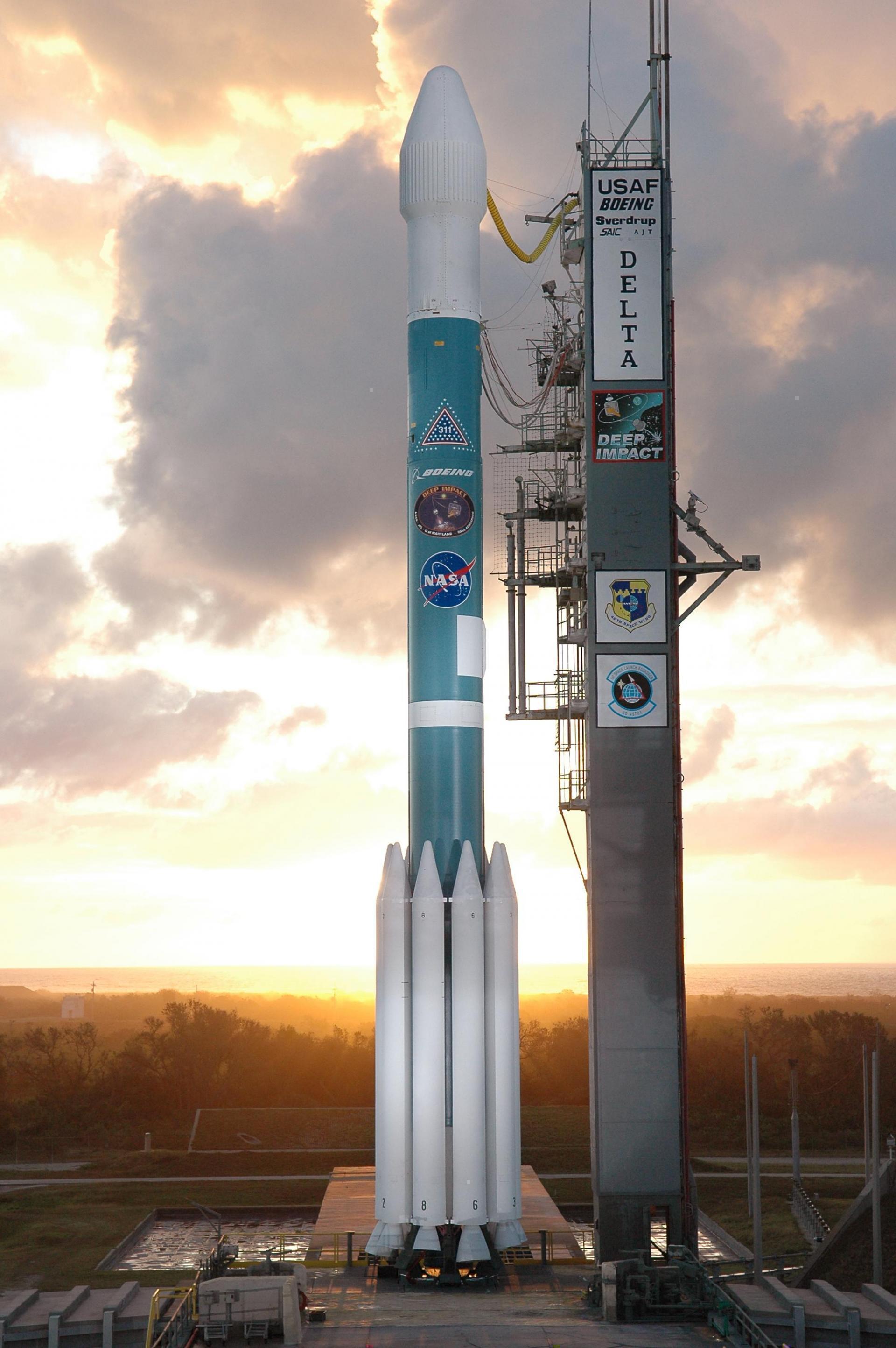
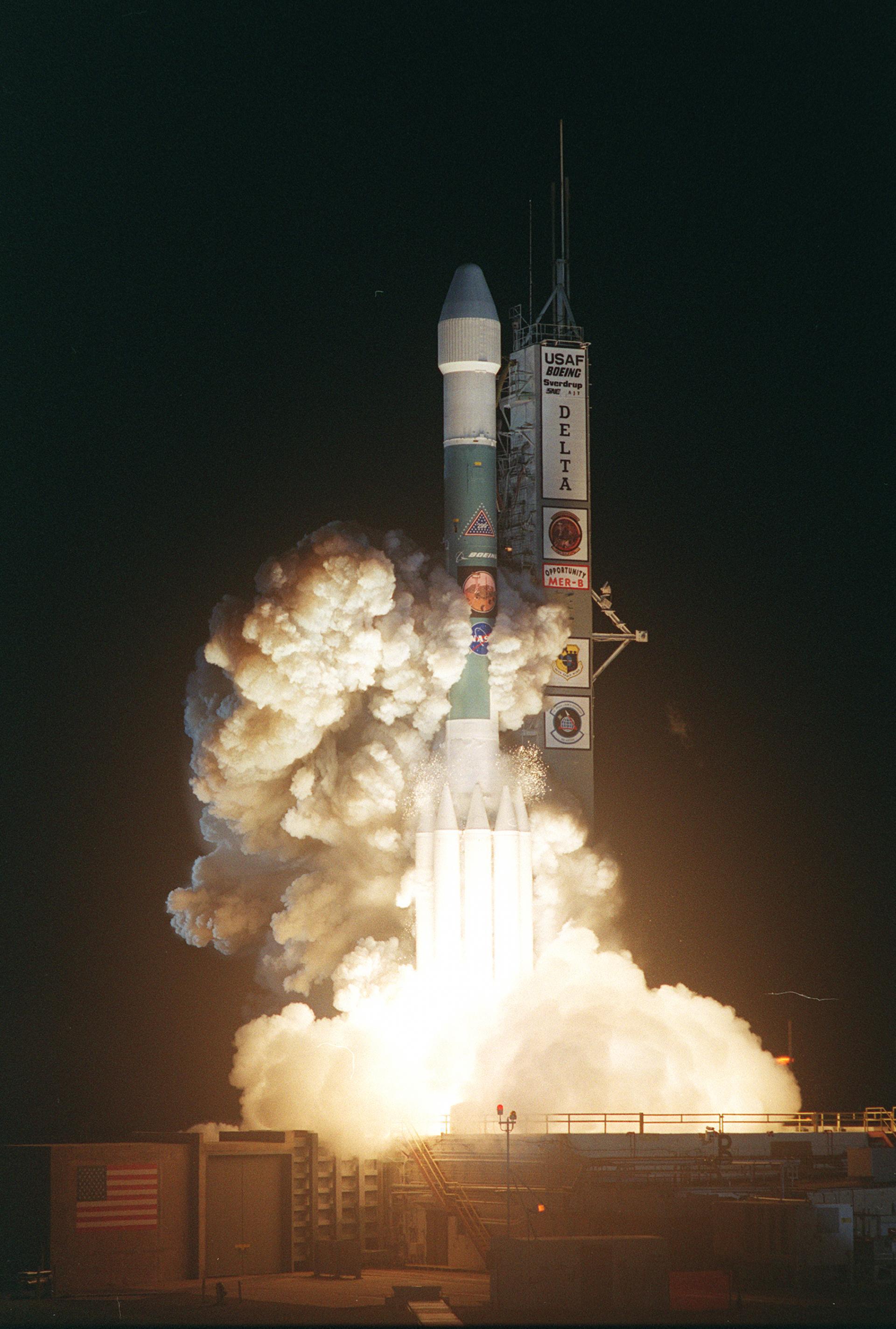
{ "count": 7507, "next": "https://ll.thespacedevs.com/2.0.0/launch/?format=api&limit=10&offset=6430&ordering=-name", "previous": "https://ll.thespacedevs.com/2.0.0/launch/?format=api&limit=10&offset=6410&ordering=-name", "results": [ { "id": "82e633a2-869d-46cf-ba29-28f111a991e3", "url": "https://ll.thespacedevs.com/2.0.0/launch/82e633a2-869d-46cf-ba29-28f111a991e3/?format=api", "launch_library_id": null, "slug": "delta-ii-spitzer-space-telescope", "name": "Delta II | Spitzer Space Telescope", "status": { "id": 3, "name": "Success" }, "net": "2003-08-25T05:35:39Z", "window_end": "2003-08-25T05:35:39Z", "window_start": "2003-08-25T05:35:39Z", "inhold": false, "tbdtime": false, "tbddate": false, "probability": null, "holdreason": "", "failreason": null, "hashtag": null, "launch_service_provider": { "id": 161, "url": "https://ll.thespacedevs.com/2.0.0/agencies/161/?format=api", "name": "United States Air Force", "type": "Government" }, "rocket": { "id": 7146, "configuration": { "id": 81, "launch_library_id": 109, "url": "https://ll.thespacedevs.com/2.0.0/config/launcher/81/?format=api", "name": "Delta II", "family": "Delta", "full_name": "Delta II 7920H", "variant": "7920H" } }, "mission": { "id": 5535, "launch_library_id": null, "name": "Spitzer Space Telescope", "description": "The Spitzer Space Telescope was an infared space telescope with a planned mission period of 2.5 years - which actually stayed fully operational until 2009.", "launch_designator": null, "type": "Astrophysics", "orbit": { "id": 6, "name": "Heliocentric N/A", "abbrev": "Helio-N/A" } }, "pad": { "id": 1, "url": "https://ll.thespacedevs.com/2.0.0/pad/1/?format=api", "agency_id": null, "name": "Space Launch Complex 17B", "info_url": null, "wiki_url": "https://en.wikipedia.org/wiki/Cape_Canaveral_Space_Launch_Complex_17", "map_url": "https://www.google.com/maps?q=28.4458,-80.5657", "latitude": "28.4458", "longitude": "-80.5657", "location": { "id": 12, "url": "https://ll.thespacedevs.com/2.0.0/location/12/?format=api", "name": "Cape Canaveral SFS, FL, USA", "country_code": "USA", "map_image": "https://thespacedevs-prod.nyc3.digitaloceanspaces.com/media/map_images/location_12_20200803142519.jpg", "total_launch_count": 1025, "total_landing_count": 64 }, "map_image": "https://thespacedevs-prod.nyc3.digitaloceanspaces.com/media/map_images/pad_1_20200803143208.jpg", "total_launch_count": 132 }, "webcast_live": false, "image": null, "infographic": null, "program": [] }, { "id": "a9684903-9ff2-4b1f-8639-1cc6e6b77166", "url": "https://ll.thespacedevs.com/2.0.0/launch/a9684903-9ff2-4b1f-8639-1cc6e6b77166/?format=api", "launch_library_id": null, "slug": "delta-ii-spirit-rover", "name": "Delta II | Spirit Rover", "status": { "id": 3, "name": "Success" }, "net": "2003-06-10T17:58:47Z", "window_end": "2003-06-10T17:58:47Z", "window_start": "2003-06-10T17:58:47Z", "inhold": false, "tbdtime": false, "tbddate": false, "probability": null, "holdreason": "", "failreason": null, "hashtag": null, "launch_service_provider": { "id": 161, "url": "https://ll.thespacedevs.com/2.0.0/agencies/161/?format=api", "name": "United States Air Force", "type": "Government" }, "rocket": { "id": 7138, "configuration": { "id": 140, "launch_library_id": 181, "url": "https://ll.thespacedevs.com/2.0.0/config/launcher/140/?format=api", "name": "Delta II", "family": "Delta", "full_name": "Delta II 7925-9.5", "variant": "7925-9.5" } }, "mission": { "id": 5527, "launch_library_id": null, "name": "Spirit Rover", "description": "Spirit, also known as MER-A, is a robotic rover on Mars, active from 2004 to 2010. It landed successfully within the impact crater Gusev on Mars at 04:35 Ground UTC on January 4, 2004, three weeks before its twin, Opportunity (MER-B), which landed on the other side of the planet. The rover became stuck in a \"sand trap\" in late 2009 at an angle that hampered recharging of its batteries; its last communication with Earth was sent on March 22, 2010.", "launch_designator": null, "type": "Planetary Science", "orbit": { "id": 19, "name": "Mars Orbit", "abbrev": "Mars" } }, "pad": { "id": 14, "url": "https://ll.thespacedevs.com/2.0.0/pad/14/?format=api", "agency_id": null, "name": "Space Launch Complex 17A", "info_url": null, "wiki_url": "https://en.wikipedia.org/wiki/Cape_Canaveral_Space_Launch_Complex_17", "map_url": "https://www.google.com/maps?q=28.4472,-80.565", "latitude": "28.4472", "longitude": "-80.565", "location": { "id": 12, "url": "https://ll.thespacedevs.com/2.0.0/location/12/?format=api", "name": "Cape Canaveral SFS, FL, USA", "country_code": "USA", "map_image": "https://thespacedevs-prod.nyc3.digitaloceanspaces.com/media/map_images/location_12_20200803142519.jpg", "total_launch_count": 1025, "total_landing_count": 64 }, "map_image": "https://thespacedevs-prod.nyc3.digitaloceanspaces.com/media/map_images/pad_14_20200803143451.jpg", "total_launch_count": 145 }, "webcast_live": false, "image": "https://thespacedevs-prod.nyc3.digitaloceanspaces.com/media/images/delta_ii_7925-9_image_20240312090356.jpeg", "infographic": null, "program": [] }, { "id": "4011fc4e-61af-4d99-a03b-f375345ef80a", "url": "https://ll.thespacedevs.com/2.0.0/launch/4011fc4e-61af-4d99-a03b-f375345ef80a/?format=api", "launch_library_id": null, "slug": "delta-ii-skynet-4d", "name": "Delta II | Skynet 4D", "status": { "id": 3, "name": "Success" }, "net": "1998-01-10T00:32:01Z", "window_end": "1998-01-10T00:32:01Z", "window_start": "1998-01-10T00:32:01Z", "inhold": false, "tbdtime": false, "tbddate": false, "probability": null, "holdreason": "", "failreason": null, "hashtag": null, "launch_service_provider": { "id": 161, "url": "https://ll.thespacedevs.com/2.0.0/agencies/161/?format=api", "name": "United States Air Force", "type": "Government" }, "rocket": { "id": 6833, "configuration": { "id": 140, "launch_library_id": 181, "url": "https://ll.thespacedevs.com/2.0.0/config/launcher/140/?format=api", "name": "Delta II", "family": "Delta", "full_name": "Delta II 7925-9.5", "variant": "7925-9.5" } }, "mission": { "id": 5223, "launch_library_id": null, "name": "Skynet 4D", "description": "Skynet 4 was the third generation of UK Ministry of Defense communications satellites. They provided jam-proof communications service between fixed and mobile land and sea-based ground stations.", "launch_designator": null, "type": "Communications", "orbit": { "id": 1, "name": "Geostationary Orbit", "abbrev": "Direct-GEO" } }, "pad": { "id": 1, "url": "https://ll.thespacedevs.com/2.0.0/pad/1/?format=api", "agency_id": null, "name": "Space Launch Complex 17B", "info_url": null, "wiki_url": "https://en.wikipedia.org/wiki/Cape_Canaveral_Space_Launch_Complex_17", "map_url": "https://www.google.com/maps?q=28.4458,-80.5657", "latitude": "28.4458", "longitude": "-80.5657", "location": { "id": 12, "url": "https://ll.thespacedevs.com/2.0.0/location/12/?format=api", "name": "Cape Canaveral SFS, FL, USA", "country_code": "USA", "map_image": "https://thespacedevs-prod.nyc3.digitaloceanspaces.com/media/map_images/location_12_20200803142519.jpg", "total_launch_count": 1025, "total_landing_count": 64 }, "map_image": "https://thespacedevs-prod.nyc3.digitaloceanspaces.com/media/map_images/pad_1_20200803143208.jpg", "total_launch_count": 132 }, "webcast_live": false, "image": "https://thespacedevs-prod.nyc3.digitaloceanspaces.com/media/images/delta_ii_7925-9_image_20240312090356.jpeg", "infographic": null, "program": [] }, { "id": "a0bdf675-8ff1-4bd3-ad9b-04084fda94c8", "url": "https://ll.thespacedevs.com/2.0.0/launch/a0bdf675-8ff1-4bd3-ad9b-04084fda94c8/?format=api", "launch_library_id": null, "slug": "delta-ii-satcom-c5", "name": "Delta II | Satcom C5", "status": { "id": 3, "name": "Success" }, "net": "1991-05-29T22:55:00Z", "window_end": "1991-05-29T22:55:00Z", "window_start": "1991-05-29T22:55:00Z", "inhold": false, "tbdtime": false, "tbddate": false, "probability": null, "holdreason": "", "failreason": null, "hashtag": null, "launch_service_provider": { "id": 161, "url": "https://ll.thespacedevs.com/2.0.0/agencies/161/?format=api", "name": "United States Air Force", "type": "Government" }, "rocket": { "id": 6371, "configuration": { "id": 159, "launch_library_id": 179, "url": "https://ll.thespacedevs.com/2.0.0/config/launcher/159/?format=api", "name": "Delta II", "family": "Delta", "full_name": "Delta II 7925", "variant": "7925" } }, "mission": { "id": 4761, "launch_library_id": null, "name": "Satcom C5", "description": "Geostationary communications satellite", "launch_designator": null, "type": "Communications", "orbit": { "id": 1, "name": "Geostationary Orbit", "abbrev": "Direct-GEO" } }, "pad": { "id": 1, "url": "https://ll.thespacedevs.com/2.0.0/pad/1/?format=api", "agency_id": null, "name": "Space Launch Complex 17B", "info_url": null, "wiki_url": "https://en.wikipedia.org/wiki/Cape_Canaveral_Space_Launch_Complex_17", "map_url": "https://www.google.com/maps?q=28.4458,-80.5657", "latitude": "28.4458", "longitude": "-80.5657", "location": { "id": 12, "url": "https://ll.thespacedevs.com/2.0.0/location/12/?format=api", "name": "Cape Canaveral SFS, FL, USA", "country_code": "USA", "map_image": "https://thespacedevs-prod.nyc3.digitaloceanspaces.com/media/map_images/location_12_20200803142519.jpg", "total_launch_count": 1025, "total_landing_count": 64 }, "map_image": "https://thespacedevs-prod.nyc3.digitaloceanspaces.com/media/map_images/pad_1_20200803143208.jpg", "total_launch_count": 132 }, "webcast_live": false, "image": "https://thespacedevs-prod.nyc3.digitaloceanspaces.com/media/images/delta2520ii_image_20190222030440.jpeg", "infographic": null, "program": [] }, { "id": "98a7ecf4-2545-4727-875e-367c2244bec0", "url": "https://ll.thespacedevs.com/2.0.0/launch/98a7ecf4-2545-4727-875e-367c2244bec0/?format=api", "launch_library_id": null, "slug": "delta-ii-satcom-c4", "name": "Delta II | Satcom C4", "status": { "id": 3, "name": "Success" }, "net": "1992-08-31T10:40:59Z", "window_end": "1992-08-31T10:40:59Z", "window_start": "1992-08-31T10:40:59Z", "inhold": false, "tbdtime": false, "tbddate": false, "probability": null, "holdreason": "", "failreason": null, "hashtag": null, "launch_service_provider": { "id": 161, "url": "https://ll.thespacedevs.com/2.0.0/agencies/161/?format=api", "name": "United States Air Force", "type": "Government" }, "rocket": { "id": 6463, "configuration": { "id": 159, "launch_library_id": 179, "url": "https://ll.thespacedevs.com/2.0.0/config/launcher/159/?format=api", "name": "Delta II", "family": "Delta", "full_name": "Delta II 7925", "variant": "7925" } }, "mission": { "id": 4853, "launch_library_id": null, "name": "Satcom C4", "description": "Geostationary communications satellite", "launch_designator": null, "type": "Communications", "orbit": { "id": 1, "name": "Geostationary Orbit", "abbrev": "Direct-GEO" } }, "pad": { "id": 1, "url": "https://ll.thespacedevs.com/2.0.0/pad/1/?format=api", "agency_id": null, "name": "Space Launch Complex 17B", "info_url": null, "wiki_url": "https://en.wikipedia.org/wiki/Cape_Canaveral_Space_Launch_Complex_17", "map_url": "https://www.google.com/maps?q=28.4458,-80.5657", "latitude": "28.4458", "longitude": "-80.5657", "location": { "id": 12, "url": "https://ll.thespacedevs.com/2.0.0/location/12/?format=api", "name": "Cape Canaveral SFS, FL, USA", "country_code": "USA", "map_image": "https://thespacedevs-prod.nyc3.digitaloceanspaces.com/media/map_images/location_12_20200803142519.jpg", "total_launch_count": 1025, "total_landing_count": 64 }, "map_image": "https://thespacedevs-prod.nyc3.digitaloceanspaces.com/media/map_images/pad_1_20200803143208.jpg", "total_launch_count": 132 }, "webcast_live": false, "image": "https://thespacedevs-prod.nyc3.digitaloceanspaces.com/media/images/delta2520ii_image_20190222030440.jpeg", "infographic": null, "program": [] }, { "id": "32ec2bb5-9d01-4023-be5b-1c126ffe73ee", "url": "https://ll.thespacedevs.com/2.0.0/launch/32ec2bb5-9d01-4023-be5b-1c126ffe73ee/?format=api", "launch_library_id": null, "slug": "delta-ii-rossi-x-ray-timing-explorer", "name": "Delta II | Rossi X-ray Timing Explorer", "status": { "id": 3, "name": "Success" }, "net": "1995-12-30T13:48:00Z", "window_end": "1995-12-30T13:48:00Z", "window_start": "1995-12-30T13:48:00Z", "inhold": false, "tbdtime": false, "tbddate": false, "probability": null, "holdreason": "", "failreason": null, "hashtag": null, "launch_service_provider": { "id": 161, "url": "https://ll.thespacedevs.com/2.0.0/agencies/161/?format=api", "name": "United States Air Force", "type": "Government" }, "rocket": { "id": 6704, "configuration": { "id": 75, "launch_library_id": 112, "url": "https://ll.thespacedevs.com/2.0.0/config/launcher/75/?format=api", "name": "Delta II", "family": "Delta", "full_name": "Delta II 7920-10", "variant": "7920-10" } }, "mission": { "id": 5094, "launch_library_id": null, "name": "Rossi X-ray Timing Explorer", "description": "The XTE (X-Ray Timing Explorer), renamed on orbit RXTE (Rossi X-Ray Timing Explorer) mission has the primary objective to study the temporal and broad-band spectral phenomena associated with stellar and galactic systems containing compact objects in the energy range 2--200 keV and in time scales from microseconds to years.", "launch_designator": null, "type": "Astrophysics", "orbit": { "id": 8, "name": "Low Earth Orbit", "abbrev": "LEO" } }, "pad": { "id": 14, "url": "https://ll.thespacedevs.com/2.0.0/pad/14/?format=api", "agency_id": null, "name": "Space Launch Complex 17A", "info_url": null, "wiki_url": "https://en.wikipedia.org/wiki/Cape_Canaveral_Space_Launch_Complex_17", "map_url": "https://www.google.com/maps?q=28.4472,-80.565", "latitude": "28.4472", "longitude": "-80.565", "location": { "id": 12, "url": "https://ll.thespacedevs.com/2.0.0/location/12/?format=api", "name": "Cape Canaveral SFS, FL, USA", "country_code": "USA", "map_image": "https://thespacedevs-prod.nyc3.digitaloceanspaces.com/media/map_images/location_12_20200803142519.jpg", "total_launch_count": 1025, "total_landing_count": 64 }, "map_image": "https://thespacedevs-prod.nyc3.digitaloceanspaces.com/media/map_images/pad_14_20200803143451.jpg", "total_launch_count": 145 }, "webcast_live": false, "image": "https://thespacedevs-prod.nyc3.digitaloceanspaces.com/media/images/delta2520ii_image_20190222030358.jpeg", "infographic": null, "program": [] }, { "id": "efb3b369-f42e-4db7-92d0-cb86a16edd75", "url": "https://ll.thespacedevs.com/2.0.0/launch/efb3b369-f42e-4db7-92d0-cb86a16edd75/?format=api", "launch_library_id": null, "slug": "delta-ii-radarsat", "name": "Delta II | Radarsat", "status": { "id": 3, "name": "Success" }, "net": "1995-11-04T14:22:00Z", "window_end": "1995-11-04T14:22:00Z", "window_start": "1995-11-04T14:22:00Z", "inhold": false, "tbdtime": false, "tbddate": false, "probability": null, "holdreason": "", "failreason": null, "hashtag": null, "launch_service_provider": { "id": 161, "url": "https://ll.thespacedevs.com/2.0.0/agencies/161/?format=api", "name": "United States Air Force", "type": "Government" }, "rocket": { "id": 6691, "configuration": { "id": 75, "launch_library_id": 112, "url": "https://ll.thespacedevs.com/2.0.0/config/launcher/75/?format=api", "name": "Delta II", "family": "Delta", "full_name": "Delta II 7920-10", "variant": "7920-10" } }, "mission": { "id": 5081, "launch_library_id": null, "name": "Radarsat", "description": "Radarsat 1, a Canadian-led international program and a major part of the overall Canadian Space Agency (CSA) program, is Canada's first remote-sensing satellite.", "launch_designator": null, "type": "Earth Science", "orbit": { "id": 8, "name": "Low Earth Orbit", "abbrev": "LEO" } }, "pad": { "id": 39, "url": "https://ll.thespacedevs.com/2.0.0/pad/39/?format=api", "agency_id": null, "name": "Space Launch Complex 2W", "info_url": null, "wiki_url": "https://en.wikipedia.org/wiki/Vandenberg_Space_Launch_Complex_2", "map_url": "https://www.google.com/maps?q=34.7556,-120.6224", "latitude": "34.7556", "longitude": "-120.6224", "location": { "id": 11, "url": "https://ll.thespacedevs.com/2.0.0/location/11/?format=api", "name": "Vandenberg SFB, CA, USA", "country_code": "USA", "map_image": "https://thespacedevs-prod.nyc3.digitaloceanspaces.com/media/map_images/location_11_20200803142416.jpg", "total_launch_count": 808, "total_landing_count": 26 }, "map_image": "https://thespacedevs-prod.nyc3.digitaloceanspaces.com/media/map_images/pad_39_20200803143542.jpg", "total_launch_count": 98 }, "webcast_live": false, "image": "https://thespacedevs-prod.nyc3.digitaloceanspaces.com/media/images/delta2520ii_image_20190222030358.jpeg", "infographic": null, "program": [] }, { "id": "eac8935e-3e40-47a9-8f02-f6a8ac98460d", "url": "https://ll.thespacedevs.com/2.0.0/launch/eac8935e-3e40-47a9-8f02-f6a8ac98460d/?format=api", "launch_library_id": null, "slug": "delta-ii-quickbird-2", "name": "Delta II | QuickBird 2", "status": { "id": 3, "name": "Success" }, "net": "2001-10-18T18:51:26Z", "window_end": "2001-10-18T18:51:26Z", "window_start": "2001-10-18T18:51:26Z", "inhold": false, "tbdtime": false, "tbddate": false, "probability": null, "holdreason": "", "failreason": null, "hashtag": null, "launch_service_provider": { "id": 161, "url": "https://ll.thespacedevs.com/2.0.0/agencies/161/?format=api", "name": "United States Air Force", "type": "Government" }, "rocket": { "id": 7063, "configuration": { "id": 88, "launch_library_id": 107, "url": "https://ll.thespacedevs.com/2.0.0/config/launcher/88/?format=api", "name": "Delta II", "family": "Delta", "full_name": "Delta II 7320", "variant": "7320" } }, "mission": { "id": 5452, "launch_library_id": null, "name": "QuickBird 2", "description": "The QuickBird commercial imaging satellite was owned by DigitalGlobe (formerly EarthWatch) and used a Ball BCP2000 bus with a launch mass of 1028 kg and a dry mass of about 995 kg.", "launch_designator": null, "type": "Earth Science", "orbit": { "id": 8, "name": "Low Earth Orbit", "abbrev": "LEO" } }, "pad": { "id": 39, "url": "https://ll.thespacedevs.com/2.0.0/pad/39/?format=api", "agency_id": null, "name": "Space Launch Complex 2W", "info_url": null, "wiki_url": "https://en.wikipedia.org/wiki/Vandenberg_Space_Launch_Complex_2", "map_url": "https://www.google.com/maps?q=34.7556,-120.6224", "latitude": "34.7556", "longitude": "-120.6224", "location": { "id": 11, "url": "https://ll.thespacedevs.com/2.0.0/location/11/?format=api", "name": "Vandenberg SFB, CA, USA", "country_code": "USA", "map_image": "https://thespacedevs-prod.nyc3.digitaloceanspaces.com/media/map_images/location_11_20200803142416.jpg", "total_launch_count": 808, "total_landing_count": 26 }, "map_image": "https://thespacedevs-prod.nyc3.digitaloceanspaces.com/media/map_images/pad_39_20200803143542.jpg", "total_launch_count": 98 }, "webcast_live": false, "image": null, "infographic": null, "program": [] }, { "id": "cfd2352f-d86a-4614-86f8-0a66716868c4", "url": "https://ll.thespacedevs.com/2.0.0/launch/cfd2352f-d86a-4614-86f8-0a66716868c4/?format=api", "launch_library_id": null, "slug": "delta-ii-palapa-b4", "name": "Delta II | Palapa B4", "status": { "id": 3, "name": "Success" }, "net": "1992-05-14T00:40:00Z", "window_end": "1992-05-14T00:40:00Z", "window_start": "1992-05-14T00:40:00Z", "inhold": false, "tbdtime": false, "tbddate": false, "probability": null, "holdreason": "", "failreason": null, "hashtag": null, "launch_service_provider": { "id": 161, "url": "https://ll.thespacedevs.com/2.0.0/agencies/161/?format=api", "name": "United States Air Force", "type": "Government" }, "rocket": { "id": 6437, "configuration": { "id": 159, "launch_library_id": 179, "url": "https://ll.thespacedevs.com/2.0.0/config/launcher/159/?format=api", "name": "Delta II", "family": "Delta", "full_name": "Delta II 7925", "variant": "7925" } }, "mission": { "id": 4827, "launch_library_id": null, "name": "Palapa B4", "description": "Indonesian geostationary communications satellite", "launch_designator": null, "type": "Communications", "orbit": { "id": 1, "name": "Geostationary Orbit", "abbrev": "Direct-GEO" } }, "pad": { "id": 1, "url": "https://ll.thespacedevs.com/2.0.0/pad/1/?format=api", "agency_id": null, "name": "Space Launch Complex 17B", "info_url": null, "wiki_url": "https://en.wikipedia.org/wiki/Cape_Canaveral_Space_Launch_Complex_17", "map_url": "https://www.google.com/maps?q=28.4458,-80.5657", "latitude": "28.4458", "longitude": "-80.5657", "location": { "id": 12, "url": "https://ll.thespacedevs.com/2.0.0/location/12/?format=api", "name": "Cape Canaveral SFS, FL, USA", "country_code": "USA", "map_image": "https://thespacedevs-prod.nyc3.digitaloceanspaces.com/media/map_images/location_12_20200803142519.jpg", "total_launch_count": 1025, "total_landing_count": 64 }, "map_image": "https://thespacedevs-prod.nyc3.digitaloceanspaces.com/media/map_images/pad_1_20200803143208.jpg", "total_launch_count": 132 }, "webcast_live": false, "image": "https://thespacedevs-prod.nyc3.digitaloceanspaces.com/media/images/delta2520ii_image_20190222030440.jpeg", "infographic": null, "program": [] }, { "id": "4360ffb4-efae-415b-bb0b-6abfc6c4c586", "url": "https://ll.thespacedevs.com/2.0.0/launch/4360ffb4-efae-415b-bb0b-6abfc6c4c586/?format=api", "launch_library_id": null, "slug": "delta-ii-opportunity-rover", "name": "Delta II | Opportunity Rover", "status": { "id": 3, "name": "Success" }, "net": "2003-07-08T03:18:15Z", "window_end": "2003-07-08T03:18:15Z", "window_start": "2003-07-08T03:18:15Z", "inhold": false, "tbdtime": false, "tbddate": false, "probability": null, "holdreason": "", "failreason": null, "hashtag": null, "launch_service_provider": { "id": 161, "url": "https://ll.thespacedevs.com/2.0.0/agencies/161/?format=api", "name": "United States Air Force", "type": "Government" }, "rocket": { "id": 7141, "configuration": { "id": 155, "launch_library_id": 180, "url": "https://ll.thespacedevs.com/2.0.0/config/launcher/155/?format=api", "name": "Delta II", "family": "Delta", "full_name": "Delta II 7925H-9.5", "variant": "7925H-9.5" } }, "mission": { "id": 5530, "launch_library_id": null, "name": "Opportunity Rover", "description": "Opportunity, also known as MER-B or MER-1, and nicknamed \"Oppy\", is a robotic rover that was active on Mars from 2004 until the middle of 2018. Opportunity was able to stay operational for 5111 sols after landing, maintaining its power and key systems through continual recharging of its batteries using solar power, and hibernating during events such as dust storms to save power. Due to the planetary 2018 dust storm on Mars, Opportunity ceased communications on June 10 and entered hibernation on June 12, 2018. It was hoped it would reboot once the weather cleared, but it did not, suggesting either a catastrophic failure or that a layer of dust had covered its solar panels.", "launch_designator": null, "type": "Planetary Science", "orbit": { "id": 6, "name": "Heliocentric N/A", "abbrev": "Helio-N/A" } }, "pad": { "id": 1, "url": "https://ll.thespacedevs.com/2.0.0/pad/1/?format=api", "agency_id": null, "name": "Space Launch Complex 17B", "info_url": null, "wiki_url": "https://en.wikipedia.org/wiki/Cape_Canaveral_Space_Launch_Complex_17", "map_url": "https://www.google.com/maps?q=28.4458,-80.5657", "latitude": "28.4458", "longitude": "-80.5657", "location": { "id": 12, "url": "https://ll.thespacedevs.com/2.0.0/location/12/?format=api", "name": "Cape Canaveral SFS, FL, USA", "country_code": "USA", "map_image": "https://thespacedevs-prod.nyc3.digitaloceanspaces.com/media/map_images/location_12_20200803142519.jpg", "total_launch_count": 1025, "total_landing_count": 64 }, "map_image": "https://thespacedevs-prod.nyc3.digitaloceanspaces.com/media/map_images/pad_1_20200803143208.jpg", "total_launch_count": 132 }, "webcast_live": false, "image": "https://thespacedevs-prod.nyc3.digitaloceanspaces.com/media/images/delta2520ii_image_20190222030358.jpeg", "infographic": null, "program": [] } ] }