Launch List
API endpoint that returns all Launch objects or a single launch.
EXAMPLE - /launch/
GET: Return a list of all Launch objects.
FILTERS: Fields - 'name', 'id(s)', 'lsp_id', 'lsp_name', 'serial_number', 'launcher_config__id', 'rocket__spacecraftflight__spacecraft__name'
MODE: 'normal', 'list', 'detailed' EXAMPLE: ?mode=list
SEARCH: Searches through the launch name, rocket name, launch agency, mission name & spacecraft name. EXAMPLE - ?search=SpaceX
GET /2.0.0/launch/?format=api&offset=620&ordering=-name
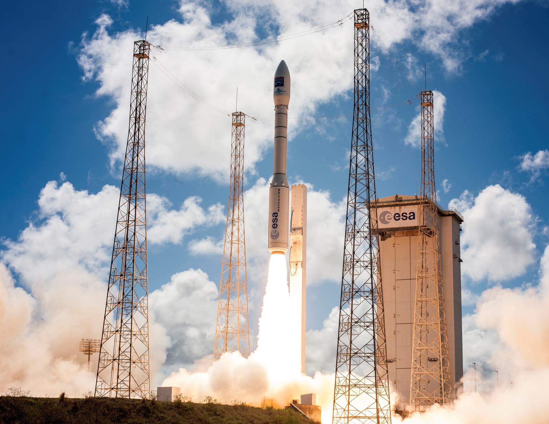
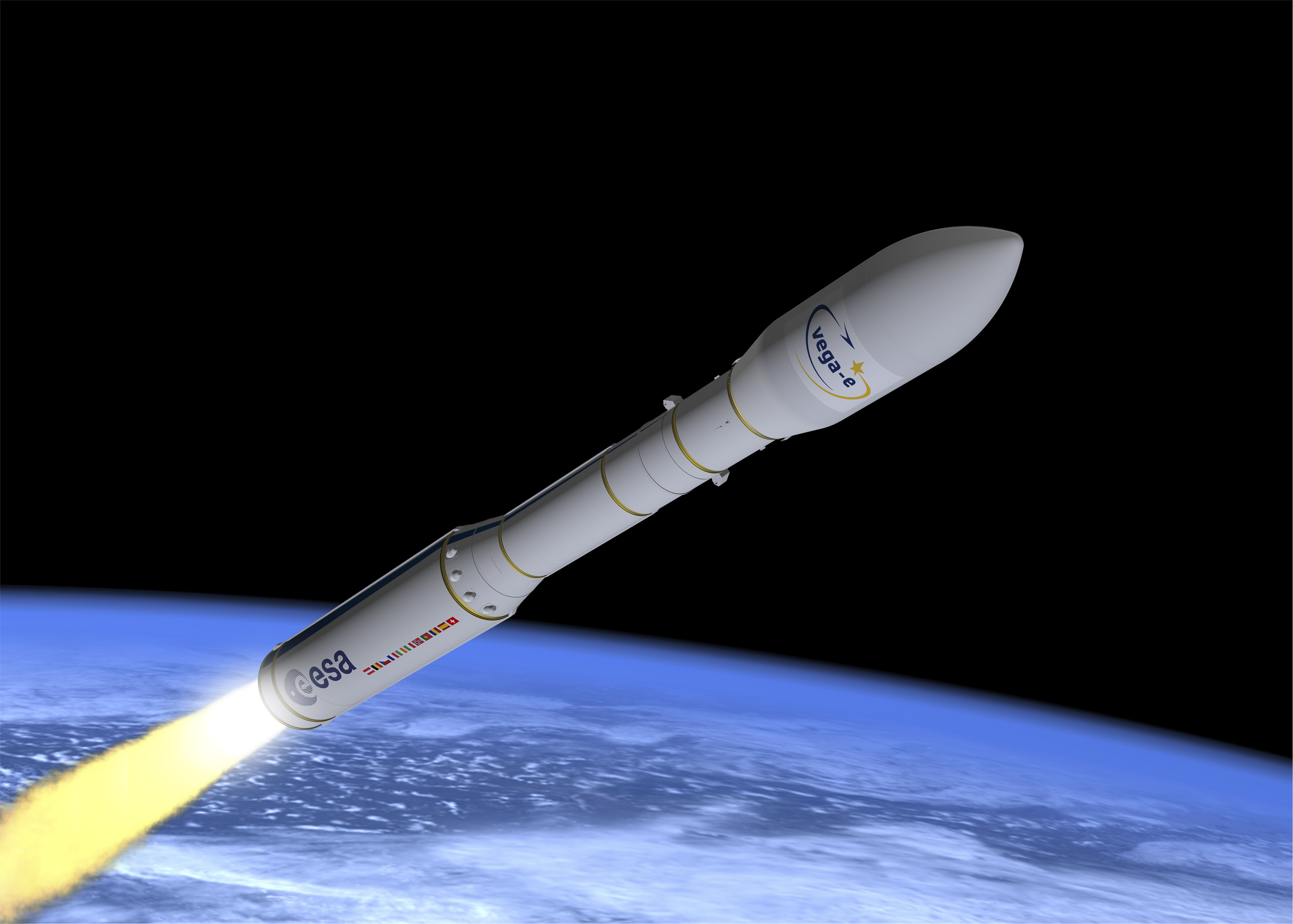
{ "count": 7787, "next": "https://ll.thespacedevs.com/2.0.0/launch/?format=api&limit=10&offset=630&ordering=-name", "previous": "https://ll.thespacedevs.com/2.0.0/launch/?format=api&limit=10&offset=610&ordering=-name", "results": [ { "id": "d3b5dfb9-0f58-433a-b7e7-e669260db994", "url": "https://ll.thespacedevs.com/2.0.0/launch/d3b5dfb9-0f58-433a-b7e7-e669260db994/?format=api", "launch_library_id": 1631, "slug": "vega-mohammed-vi-b", "name": "Vega | Mohammed VI-B", "status": { "id": 3, "name": "Success" }, "net": "2018-11-21T01:42:31Z", "window_end": "2018-11-21T01:42:31Z", "window_start": "2018-11-21T01:42:31Z", "inhold": false, "tbdtime": false, "tbddate": false, "probability": null, "holdreason": "", "failreason": "", "hashtag": null, "launch_service_provider": { "id": 115, "url": "https://ll.thespacedevs.com/2.0.0/agencies/115/?format=api", "name": "Arianespace", "type": "Commercial" }, "rocket": { "id": 1376, "configuration": { "id": 167, "launch_library_id": 18, "url": "https://ll.thespacedevs.com/2.0.0/config/launcher/167/?format=api", "name": "Vega", "family": "Vega", "full_name": "Vega", "variant": "" } }, "mission": { "id": 737, "launch_library_id": 887, "name": "Mohammed VI-B", "description": "A second Earth observation satellite for the Kingdom of Morocco. It was developed by Thales Alenia Space and Airbus. Satellite will be in particular used for mapping and land surveying activities, regional development, agricultural monitoring, the prevention and management of natural disasters, monitoring changes in the environment and desertification, as well as border and coastal surveillance.", "launch_designator": null, "type": "Earth Science", "orbit": { "id": 17, "name": "Sun-Synchronous Orbit", "abbrev": "SSO" } }, "pad": { "id": 34, "url": "https://ll.thespacedevs.com/2.0.0/pad/34/?format=api", "agency_id": 115, "name": "Ariane Launch Area 1 (ELV)", "info_url": null, "wiki_url": "https://en.wikipedia.org/wiki/ELA-1", "map_url": "https://www.google.com/maps?q=5.236,-52.775", "latitude": "5.236", "longitude": "-52.775", "location": { "id": 13, "url": "https://ll.thespacedevs.com/2.0.0/location/13/?format=api", "name": "Guiana Space Centre, French Guiana", "country_code": "GUF", "map_image": "https://thespacedevs-prod.nyc3.digitaloceanspaces.com/media/map_images/location_13_20200803142412.jpg", "total_launch_count": 331, "total_landing_count": 0 }, "map_image": "https://thespacedevs-prod.nyc3.digitaloceanspaces.com/media/map_images/pad_34_20200803143527.jpg", "total_launch_count": 54 }, "webcast_live": false, "image": "https://thespacedevs-prod.nyc3.digitaloceanspaces.com/media/images/vega_image_20201111143622.jpeg", "infographic": null, "program": [] }, { "id": "db424988-d49b-49ac-a463-8e6398ccdb8e", "url": "https://ll.thespacedevs.com/2.0.0/launch/db424988-d49b-49ac-a463-8e6398ccdb8e/?format=api", "launch_library_id": 1348, "slug": "vega-mohammed-vi-a", "name": "Vega | Mohammed VI-A", "status": { "id": 3, "name": "Success" }, "net": "2017-11-08T01:42:31Z", "window_end": "2017-11-08T01:42:31Z", "window_start": "2017-11-08T01:42:31Z", "inhold": false, "tbdtime": false, "tbddate": false, "probability": null, "holdreason": "", "failreason": null, "hashtag": null, "launch_service_provider": { "id": 115, "url": "https://ll.thespacedevs.com/2.0.0/agencies/115/?format=api", "name": "Arianespace", "type": "Commercial" }, "rocket": { "id": 1278, "configuration": { "id": 167, "launch_library_id": 18, "url": "https://ll.thespacedevs.com/2.0.0/config/launcher/167/?format=api", "name": "Vega", "family": "Vega", "full_name": "Vega", "variant": "" } }, "mission": { "id": 908, "launch_library_id": 621, "name": "Mohammed VI-A", "description": "An Earth observation satellite for the Kingdom of Morocco. It was developed by Thales Alenia Space and Airbus. Satellite will be in particular used for mapping and land surveying activities, regional development, agricultural monitoring, the prevention and management of natural disasters, monitoring changes in the environment and desertification, as well as border and coastal surveillance.", "launch_designator": null, "type": "Earth Science", "orbit": { "id": 17, "name": "Sun-Synchronous Orbit", "abbrev": "SSO" } }, "pad": { "id": 34, "url": "https://ll.thespacedevs.com/2.0.0/pad/34/?format=api", "agency_id": 115, "name": "Ariane Launch Area 1 (ELV)", "info_url": null, "wiki_url": "https://en.wikipedia.org/wiki/ELA-1", "map_url": "https://www.google.com/maps?q=5.236,-52.775", "latitude": "5.236", "longitude": "-52.775", "location": { "id": 13, "url": "https://ll.thespacedevs.com/2.0.0/location/13/?format=api", "name": "Guiana Space Centre, French Guiana", "country_code": "GUF", "map_image": "https://thespacedevs-prod.nyc3.digitaloceanspaces.com/media/map_images/location_13_20200803142412.jpg", "total_launch_count": 331, "total_landing_count": 0 }, "map_image": "https://thespacedevs-prod.nyc3.digitaloceanspaces.com/media/map_images/pad_34_20200803143527.jpg", "total_launch_count": 54 }, "webcast_live": false, "image": "https://thespacedevs-prod.nyc3.digitaloceanspaces.com/media/images/vega_image_20201111143622.jpeg", "infographic": null, "program": [] }, { "id": "ce4add79-a6fc-4591-a255-6a763d563f6f", "url": "https://ll.thespacedevs.com/2.0.0/launch/ce4add79-a6fc-4591-a255-6a763d563f6f/?format=api", "launch_library_id": 236, "slug": "vega-lisa-pathfinder", "name": "Vega | LISA Pathfinder", "status": { "id": 3, "name": "Success" }, "net": "2015-12-03T04:04:01Z", "window_end": "2015-12-03T04:04:01Z", "window_start": "2015-12-03T04:04:01Z", "inhold": false, "tbdtime": false, "tbddate": false, "probability": null, "holdreason": "", "failreason": "", "hashtag": null, "launch_service_provider": { "id": 115, "url": "https://ll.thespacedevs.com/2.0.0/agencies/115/?format=api", "name": "Arianespace", "type": "Commercial" }, "rocket": { "id": 1105, "configuration": { "id": 167, "launch_library_id": 18, "url": "https://ll.thespacedevs.com/2.0.0/config/launcher/167/?format=api", "name": "Vega", "family": "Vega", "full_name": "Vega", "variant": "" } }, "mission": { "id": 814, "launch_library_id": 145, "name": "LISA Pathfinder", "description": "LISA Pathfinder will pave the way for future missions by testing in flight the very concept of gravitational wave detection: it will put two test masses in a near-perfect gravitational free-fall and control and measure their motion with unprecedented accuracy. LISA Pathfinder will use the latest technology to minimise the extra forces on the test masses, and to take measurements. The inertial sensors, the laser metrology system, the drag-free control system and an ultra-precise micro-propulsion system make this a highly unusual mission.", "launch_designator": null, "type": "Astrophysics", "orbit": { "id": 5, "name": "Heliocentric L1", "abbrev": "L1-point" } }, "pad": { "id": 34, "url": "https://ll.thespacedevs.com/2.0.0/pad/34/?format=api", "agency_id": 115, "name": "Ariane Launch Area 1 (ELV)", "info_url": null, "wiki_url": "https://en.wikipedia.org/wiki/ELA-1", "map_url": "https://www.google.com/maps?q=5.236,-52.775", "latitude": "5.236", "longitude": "-52.775", "location": { "id": 13, "url": "https://ll.thespacedevs.com/2.0.0/location/13/?format=api", "name": "Guiana Space Centre, French Guiana", "country_code": "GUF", "map_image": "https://thespacedevs-prod.nyc3.digitaloceanspaces.com/media/map_images/location_13_20200803142412.jpg", "total_launch_count": 331, "total_landing_count": 0 }, "map_image": "https://thespacedevs-prod.nyc3.digitaloceanspaces.com/media/map_images/pad_34_20200803143527.jpg", "total_launch_count": 54 }, "webcast_live": false, "image": "https://thespacedevs-prod.nyc3.digitaloceanspaces.com/media/images/vega_image_20201111143622.jpeg", "infographic": null, "program": [] }, { "id": "b6779781-5a21-4811-adab-167adda1de97", "url": "https://ll.thespacedevs.com/2.0.0/launch/b6779781-5a21-4811-adab-167adda1de97/?format=api", "launch_library_id": 102, "slug": "vega-kazeosat-1", "name": "Vega | KazEOSat 1", "status": { "id": 3, "name": "Success" }, "net": "2014-04-30T01:35:15Z", "window_end": "2014-04-30T01:35:15Z", "window_start": "2014-04-30T01:35:15Z", "inhold": false, "tbdtime": false, "tbddate": false, "probability": null, "holdreason": "", "failreason": null, "hashtag": null, "launch_service_provider": { "id": 115, "url": "https://ll.thespacedevs.com/2.0.0/agencies/115/?format=api", "name": "Arianespace", "type": "Commercial" }, "rocket": { "id": 961, "configuration": { "id": 167, "launch_library_id": 18, "url": "https://ll.thespacedevs.com/2.0.0/config/launcher/167/?format=api", "name": "Vega", "family": "Vega", "full_name": "Vega", "variant": "" } }, "mission": { "id": 55, "launch_library_id": 88, "name": "DZZ-HR", "description": "DZZ-HR will provide high-resolution images to Kazakh authorities for homeland surveillance, resource management and environmental monitoring.", "launch_designator": null, "type": "Earth Science", "orbit": { "id": 17, "name": "Sun-Synchronous Orbit", "abbrev": "SSO" } }, "pad": { "id": 34, "url": "https://ll.thespacedevs.com/2.0.0/pad/34/?format=api", "agency_id": 115, "name": "Ariane Launch Area 1 (ELV)", "info_url": null, "wiki_url": "https://en.wikipedia.org/wiki/ELA-1", "map_url": "https://www.google.com/maps?q=5.236,-52.775", "latitude": "5.236", "longitude": "-52.775", "location": { "id": 13, "url": "https://ll.thespacedevs.com/2.0.0/location/13/?format=api", "name": "Guiana Space Centre, French Guiana", "country_code": "GUF", "map_image": "https://thespacedevs-prod.nyc3.digitaloceanspaces.com/media/map_images/location_13_20200803142412.jpg", "total_launch_count": 331, "total_landing_count": 0 }, "map_image": "https://thespacedevs-prod.nyc3.digitaloceanspaces.com/media/map_images/pad_34_20200803143527.jpg", "total_launch_count": 54 }, "webcast_live": false, "image": "https://thespacedevs-prod.nyc3.digitaloceanspaces.com/media/images/vega_image_20201111143622.jpeg", "infographic": null, "program": [] }, { "id": "ba66dd9b-efb6-4b8a-803e-22a4654e8658", "url": "https://ll.thespacedevs.com/2.0.0/launch/ba66dd9b-efb6-4b8a-803e-22a4654e8658/?format=api", "launch_library_id": 211, "slug": "vega-ixv", "name": "Vega | IXV", "status": { "id": 3, "name": "Success" }, "net": "2015-02-11T13:40:00Z", "window_end": "2015-02-11T13:40:00Z", "window_start": "2015-02-11T13:40:00Z", "inhold": false, "tbdtime": false, "tbddate": false, "probability": null, "holdreason": "", "failreason": null, "hashtag": null, "launch_service_provider": { "id": 115, "url": "https://ll.thespacedevs.com/2.0.0/agencies/115/?format=api", "name": "Arianespace", "type": "Commercial" }, "rocket": { "id": 1826, "configuration": { "id": 167, "launch_library_id": 18, "url": "https://ll.thespacedevs.com/2.0.0/config/launcher/167/?format=api", "name": "Vega", "family": "Vega", "full_name": "Vega", "variant": "" } }, "mission": null, "pad": { "id": 34, "url": "https://ll.thespacedevs.com/2.0.0/pad/34/?format=api", "agency_id": 115, "name": "Ariane Launch Area 1 (ELV)", "info_url": null, "wiki_url": "https://en.wikipedia.org/wiki/ELA-1", "map_url": "https://www.google.com/maps?q=5.236,-52.775", "latitude": "5.236", "longitude": "-52.775", "location": { "id": 13, "url": "https://ll.thespacedevs.com/2.0.0/location/13/?format=api", "name": "Guiana Space Centre, French Guiana", "country_code": "GUF", "map_image": "https://thespacedevs-prod.nyc3.digitaloceanspaces.com/media/map_images/location_13_20200803142412.jpg", "total_launch_count": 331, "total_landing_count": 0 }, "map_image": "https://thespacedevs-prod.nyc3.digitaloceanspaces.com/media/map_images/pad_34_20200803143527.jpg", "total_launch_count": 54 }, "webcast_live": false, "image": "https://thespacedevs-prod.nyc3.digitaloceanspaces.com/media/images/vega_image_20201111143622.jpeg", "infographic": null, "program": [] }, { "id": "edb154a1-00c0-4260-b6bf-d8903f0a97e5", "url": "https://ll.thespacedevs.com/2.0.0/launch/edb154a1-00c0-4260-b6bf-d8903f0a97e5/?format=api", "launch_library_id": 1194, "slug": "vega-gokturk-1a", "name": "Vega | Göktürk-1A", "status": { "id": 3, "name": "Success" }, "net": "2016-12-05T13:51:44Z", "window_end": "2016-12-05T14:22:00Z", "window_start": "2016-12-05T12:51:00Z", "inhold": false, "tbdtime": false, "tbddate": false, "probability": null, "holdreason": "", "failreason": "", "hashtag": null, "launch_service_provider": { "id": 115, "url": "https://ll.thespacedevs.com/2.0.0/agencies/115/?format=api", "name": "Arianespace", "type": "Commercial" }, "rocket": { "id": 1194, "configuration": { "id": 167, "launch_library_id": 18, "url": "https://ll.thespacedevs.com/2.0.0/config/launcher/167/?format=api", "name": "Vega", "family": "Vega", "full_name": "Vega", "variant": "" } }, "mission": { "id": 338, "launch_library_id": 443, "name": "Göktürk-1A", "description": "Göktürk-1A is a high resolution earth observation satellite (greater than 50 cm) designed and developed for the Turkish Ministry of National Defence by the Italian space service company Telespazio. The Göktürk-1A satellite has a dry weight of about 1,000 kg and a design life of seven years. Its observation payload includes a high resolution optical instrument and an onboard X-band digital imaging system to handle data compression, storage and downloading.", "launch_designator": null, "type": "Earth Science", "orbit": { "id": 17, "name": "Sun-Synchronous Orbit", "abbrev": "SSO" } }, "pad": { "id": 34, "url": "https://ll.thespacedevs.com/2.0.0/pad/34/?format=api", "agency_id": 115, "name": "Ariane Launch Area 1 (ELV)", "info_url": null, "wiki_url": "https://en.wikipedia.org/wiki/ELA-1", "map_url": "https://www.google.com/maps?q=5.236,-52.775", "latitude": "5.236", "longitude": "-52.775", "location": { "id": 13, "url": "https://ll.thespacedevs.com/2.0.0/location/13/?format=api", "name": "Guiana Space Centre, French Guiana", "country_code": "GUF", "map_image": "https://thespacedevs-prod.nyc3.digitaloceanspaces.com/media/map_images/location_13_20200803142412.jpg", "total_launch_count": 331, "total_landing_count": 0 }, "map_image": "https://thespacedevs-prod.nyc3.digitaloceanspaces.com/media/map_images/pad_34_20200803143527.jpg", "total_launch_count": 54 }, "webcast_live": false, "image": "https://thespacedevs-prod.nyc3.digitaloceanspaces.com/media/images/vega_image_20201111143622.jpeg", "infographic": null, "program": [] }, { "id": "582fa292-e2c4-4c4a-8f1b-5512eed63790", "url": "https://ll.thespacedevs.com/2.0.0/launch/582fa292-e2c4-4c4a-8f1b-5512eed63790/?format=api", "launch_library_id": 1671, "slug": "vega-falcon-eye-1", "name": "Vega | Falcon Eye 1", "status": { "id": 4, "name": "Failure" }, "net": "2019-07-11T01:53:03Z", "window_end": "2019-07-11T01:53:03Z", "window_start": "2019-07-11T01:53:03Z", "inhold": false, "tbdtime": false, "tbddate": false, "probability": null, "holdreason": "", "failreason": "An anomaly occurred shortly after MECO and stage separation. Preliminary findings indicate that super-hot gas from burning solid propellant impinged on the structure of the second stage, causing the vehicle to break apart.", "hashtag": "#VV15", "launch_service_provider": { "id": 115, "url": "https://ll.thespacedevs.com/2.0.0/agencies/115/?format=api", "name": "Arianespace", "type": "Commercial" }, "rocket": { "id": 2196, "configuration": { "id": 167, "launch_library_id": 18, "url": "https://ll.thespacedevs.com/2.0.0/config/launcher/167/?format=api", "name": "Vega", "family": "Vega", "full_name": "Vega", "variant": "" } }, "mission": { "id": 957, "launch_library_id": 1169, "name": "Falcon Eye 1", "description": "Falcon Eye 1 is a high-resolution Earth-imaging satellite for the United Arab Emirates. Built by Airbus Defense and Space with an optical imaging payload from Thales Alenia Space, Falcon Eye 1 is the first of two surveillance satellites ordered by the UAE’s military.", "launch_designator": null, "type": "Government/Top Secret", "orbit": { "id": 13, "name": "Polar Orbit", "abbrev": "PO" } }, "pad": { "id": 34, "url": "https://ll.thespacedevs.com/2.0.0/pad/34/?format=api", "agency_id": 115, "name": "Ariane Launch Area 1 (ELV)", "info_url": null, "wiki_url": "https://en.wikipedia.org/wiki/ELA-1", "map_url": "https://www.google.com/maps?q=5.236,-52.775", "latitude": "5.236", "longitude": "-52.775", "location": { "id": 13, "url": "https://ll.thespacedevs.com/2.0.0/location/13/?format=api", "name": "Guiana Space Centre, French Guiana", "country_code": "GUF", "map_image": "https://thespacedevs-prod.nyc3.digitaloceanspaces.com/media/map_images/location_13_20200803142412.jpg", "total_launch_count": 331, "total_landing_count": 0 }, "map_image": "https://thespacedevs-prod.nyc3.digitaloceanspaces.com/media/map_images/pad_34_20200803143527.jpg", "total_launch_count": 54 }, "webcast_live": false, "image": "https://thespacedevs-prod.nyc3.digitaloceanspaces.com/media/images/vega_image_20201111143622.jpeg", "infographic": null, "program": [] }, { "id": "dc5b8553-a2d7-4ffe-9f0a-c1a95d28fb28", "url": "https://ll.thespacedevs.com/2.0.0/launch/dc5b8553-a2d7-4ffe-9f0a-c1a95d28fb28/?format=api", "launch_library_id": null, "slug": "vega-e-maiden-flight", "name": "Vega-E | Maiden flight", "status": { "id": 2, "name": "TBD" }, "net": "2027-12-31T00:00:00Z", "window_end": "2027-12-31T00:00:00Z", "window_start": "2027-12-31T00:00:00Z", "inhold": false, "tbdtime": true, "tbddate": true, "probability": null, "holdreason": "", "failreason": "", "hashtag": null, "launch_service_provider": { "id": 159, "url": "https://ll.thespacedevs.com/2.0.0/agencies/159/?format=api", "name": "Avio S.p.A", "type": "Commercial" }, "rocket": { "id": 8863, "configuration": { "id": 549, "launch_library_id": null, "url": "https://ll.thespacedevs.com/2.0.0/config/launcher/549/?format=api", "name": "Vega-E", "family": "Vega", "full_name": "Vega-E", "variant": "" } }, "mission": { "id": 7454, "launch_library_id": null, "name": "Maiden flight", "description": "First flight of the upgraded Vega-E variant of the Vega launch vehicle developed by Avio.", "launch_designator": null, "type": "Test Flight", "orbit": { "id": 17, "name": "Sun-Synchronous Orbit", "abbrev": "SSO" } }, "pad": { "id": 77, "url": "https://ll.thespacedevs.com/2.0.0/pad/77/?format=api", "agency_id": 115, "name": "Ariane Launch Area 3", "info_url": null, "wiki_url": "https://en.wikipedia.org/wiki/ELA-3", "map_url": "https://www.google.com/maps?q=5.239,-52.768", "latitude": "5.239", "longitude": "-52.768", "location": { "id": 13, "url": "https://ll.thespacedevs.com/2.0.0/location/13/?format=api", "name": "Guiana Space Centre, French Guiana", "country_code": "GUF", "map_image": "https://thespacedevs-prod.nyc3.digitaloceanspaces.com/media/map_images/location_13_20200803142412.jpg", "total_launch_count": 331, "total_landing_count": 0 }, "map_image": "https://thespacedevs-prod.nyc3.digitaloceanspaces.com/media/map_images/pad_77_20200803143458.jpg", "total_launch_count": 118 }, "webcast_live": false, "image": "https://thespacedevs-prod.nyc3.digitaloceanspaces.com/media/images/vega-e_render_image_20251225083722.jpg", "infographic": null, "program": [] }, { "id": "8e6ca4d7-cd41-4659-af52-e2a01b9d8cd7", "url": "https://ll.thespacedevs.com/2.0.0/launch/8e6ca4d7-cd41-4659-af52-e2a01b9d8cd7/?format=api", "launch_library_id": null, "slug": "vega-c-truths", "name": "Vega-C | TRUTHS", "status": { "id": 2, "name": "TBD" }, "net": "2030-12-31T00:00:00Z", "window_end": "2030-12-31T00:00:00Z", "window_start": "2030-12-31T00:00:00Z", "inhold": false, "tbdtime": true, "tbddate": true, "probability": null, "holdreason": "", "failreason": "", "hashtag": null, "launch_service_provider": { "id": 159, "url": "https://ll.thespacedevs.com/2.0.0/agencies/159/?format=api", "name": "Avio S.p.A", "type": "Commercial" }, "rocket": { "id": 8090, "configuration": { "id": 127, "launch_library_id": 163, "url": "https://ll.thespacedevs.com/2.0.0/config/launcher/127/?format=api", "name": "Vega-C", "family": "Vega", "full_name": "Vega-C", "variant": "" } }, "mission": { "id": 6644, "launch_library_id": null, "name": "TRUTHS", "description": "TRUTHS (Traceable Radiometry Underpinning Terrestrial- and Helio-Studies) is a a ‘standards laboratory in space’, setting the ‘gold standard’ reference for climate measurements. Carrying a cryogenic solar absolute radiometer and a hyperspectral imaging spectrometer as well as a novel onboard calibration system, TRUTHS is designed to make continuous measurements of incoming solar radiation and reflected radiation to evaluate Earth’s energy-in to energy-out ratio.", "launch_designator": null, "type": "Earth Science", "orbit": { "id": 17, "name": "Sun-Synchronous Orbit", "abbrev": "SSO" } }, "pad": { "id": 34, "url": "https://ll.thespacedevs.com/2.0.0/pad/34/?format=api", "agency_id": 115, "name": "Ariane Launch Area 1 (ELV)", "info_url": null, "wiki_url": "https://en.wikipedia.org/wiki/ELA-1", "map_url": "https://www.google.com/maps?q=5.236,-52.775", "latitude": "5.236", "longitude": "-52.775", "location": { "id": 13, "url": "https://ll.thespacedevs.com/2.0.0/location/13/?format=api", "name": "Guiana Space Centre, French Guiana", "country_code": "GUF", "map_image": "https://thespacedevs-prod.nyc3.digitaloceanspaces.com/media/map_images/location_13_20200803142412.jpg", "total_launch_count": 331, "total_landing_count": 0 }, "map_image": "https://thespacedevs-prod.nyc3.digitaloceanspaces.com/media/map_images/pad_34_20200803143527.jpg", "total_launch_count": 54 }, "webcast_live": false, "image": "https://thespacedevs-prod.nyc3.digitaloceanspaces.com/media/images/vega-c_image_20220713154437.jpg", "infographic": null, "program": [] }, { "id": "b31313da-ee5d-42b2-9a27-20cc18105276", "url": "https://ll.thespacedevs.com/2.0.0/launch/b31313da-ee5d-42b2-9a27-20cc18105276/?format=api", "launch_library_id": null, "slug": "vega-c-solar-wind-magnetosphere-ionosphere-link-ex", "name": "Vega-C | Solar wind Magnetosphere Ionosphere Link Explorer (SMILE)", "status": { "id": 2, "name": "TBD" }, "net": "2026-04-08T00:00:00Z", "window_end": "2026-04-08T00:00:00Z", "window_start": "2026-04-08T00:00:00Z", "inhold": false, "tbdtime": true, "tbddate": false, "probability": null, "holdreason": "", "failreason": "", "hashtag": null, "launch_service_provider": { "id": 159, "url": "https://ll.thespacedevs.com/2.0.0/agencies/159/?format=api", "name": "Avio S.p.A", "type": "Commercial" }, "rocket": { "id": 7792, "configuration": { "id": 127, "launch_library_id": 163, "url": "https://ll.thespacedevs.com/2.0.0/config/launcher/127/?format=api", "name": "Vega-C", "family": "Vega", "full_name": "Vega-C", "variant": "" } }, "mission": { "id": 6309, "launch_library_id": null, "name": "Solar wind Magnetosphere Ionosphere Link Explorer (SMILE)", "description": "Joint mission between the European Space Agency and the Chinese Academy of Sciences to investigate the interaction between Earth’s protective shield – the magnetosphere – and the supersonic solar wind.", "launch_designator": null, "type": "Astrophysics", "orbit": { "id": 0, "name": "Elliptical Orbit", "abbrev": "Elliptical" } }, "pad": { "id": 34, "url": "https://ll.thespacedevs.com/2.0.0/pad/34/?format=api", "agency_id": 115, "name": "Ariane Launch Area 1 (ELV)", "info_url": null, "wiki_url": "https://en.wikipedia.org/wiki/ELA-1", "map_url": "https://www.google.com/maps?q=5.236,-52.775", "latitude": "5.236", "longitude": "-52.775", "location": { "id": 13, "url": "https://ll.thespacedevs.com/2.0.0/location/13/?format=api", "name": "Guiana Space Centre, French Guiana", "country_code": "GUF", "map_image": "https://thespacedevs-prod.nyc3.digitaloceanspaces.com/media/map_images/location_13_20200803142412.jpg", "total_launch_count": 331, "total_landing_count": 0 }, "map_image": "https://thespacedevs-prod.nyc3.digitaloceanspaces.com/media/map_images/pad_34_20200803143527.jpg", "total_launch_count": 54 }, "webcast_live": false, "image": "https://thespacedevs-prod.nyc3.digitaloceanspaces.com/media/images/vega-c_image_20220713154437.jpg", "infographic": null, "program": [] } ] }