Launch List
API endpoint that returns all Launch objects or a single launch.
EXAMPLE - /launch/
GET: Return a list of all Launch objects.
FILTERS: Fields - 'name', 'id(s)', 'lsp_id', 'lsp_name', 'serial_number', 'launcher_config__id', 'rocket__spacecraftflight__spacecraft__name'
MODE: 'normal', 'list', 'detailed' EXAMPLE: ?mode=list
SEARCH: Searches through the launch name, rocket name, launch agency, mission name & spacecraft name. EXAMPLE - ?search=SpaceX
GET /2.0.0/launch/?format=api&offset=530&ordering=-id
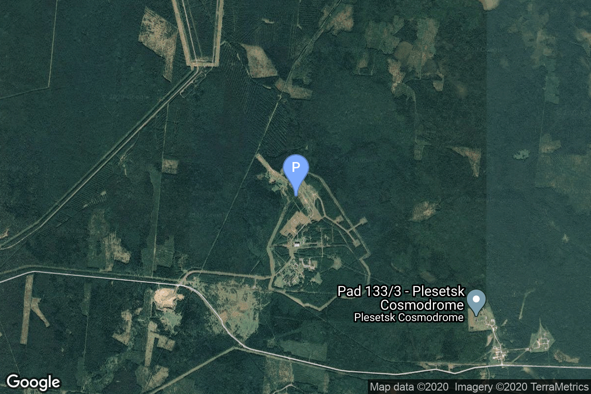
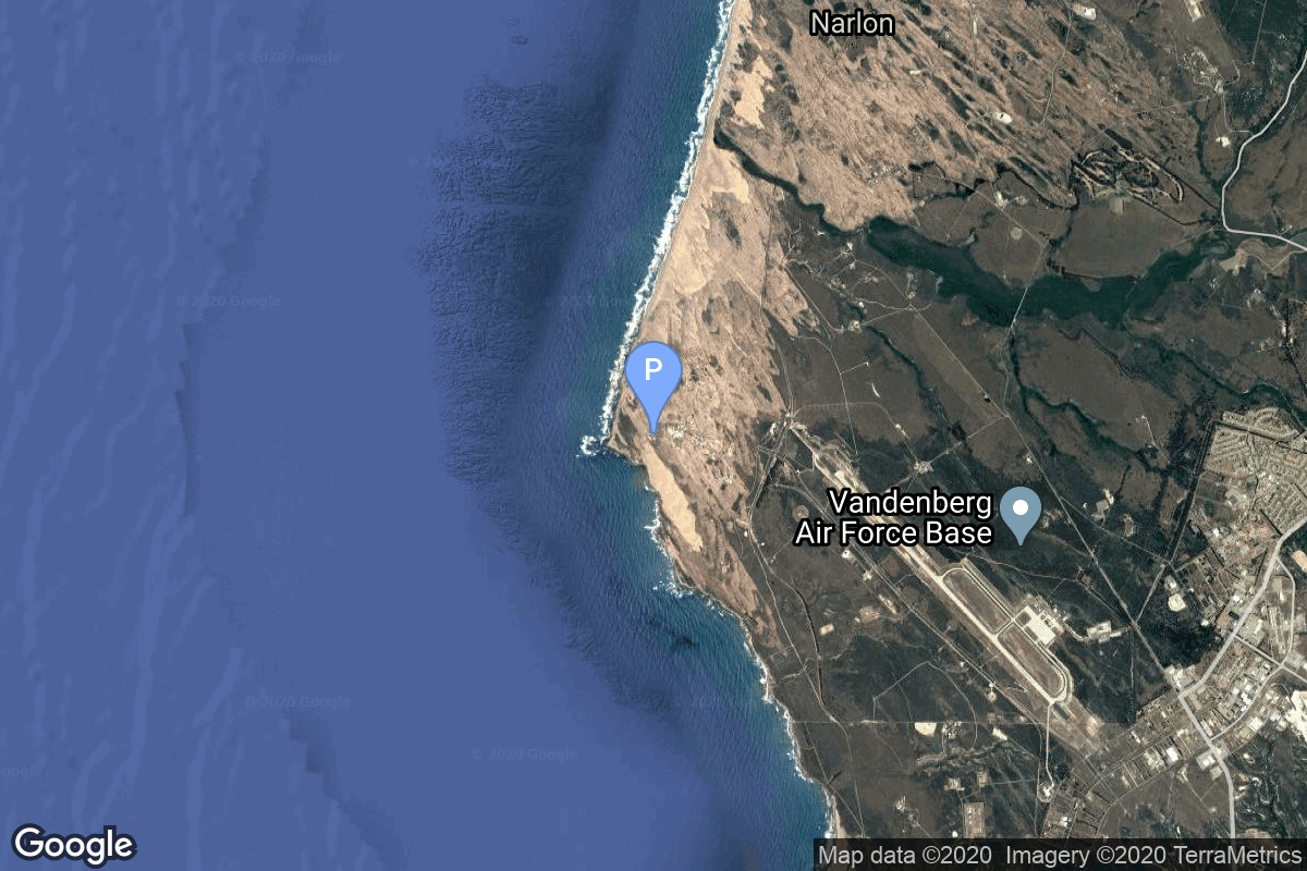
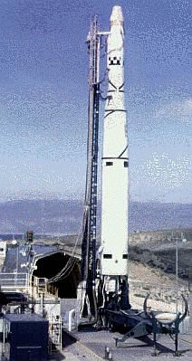
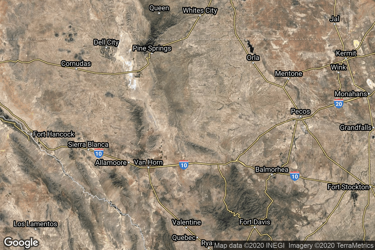
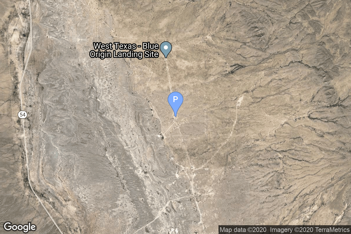
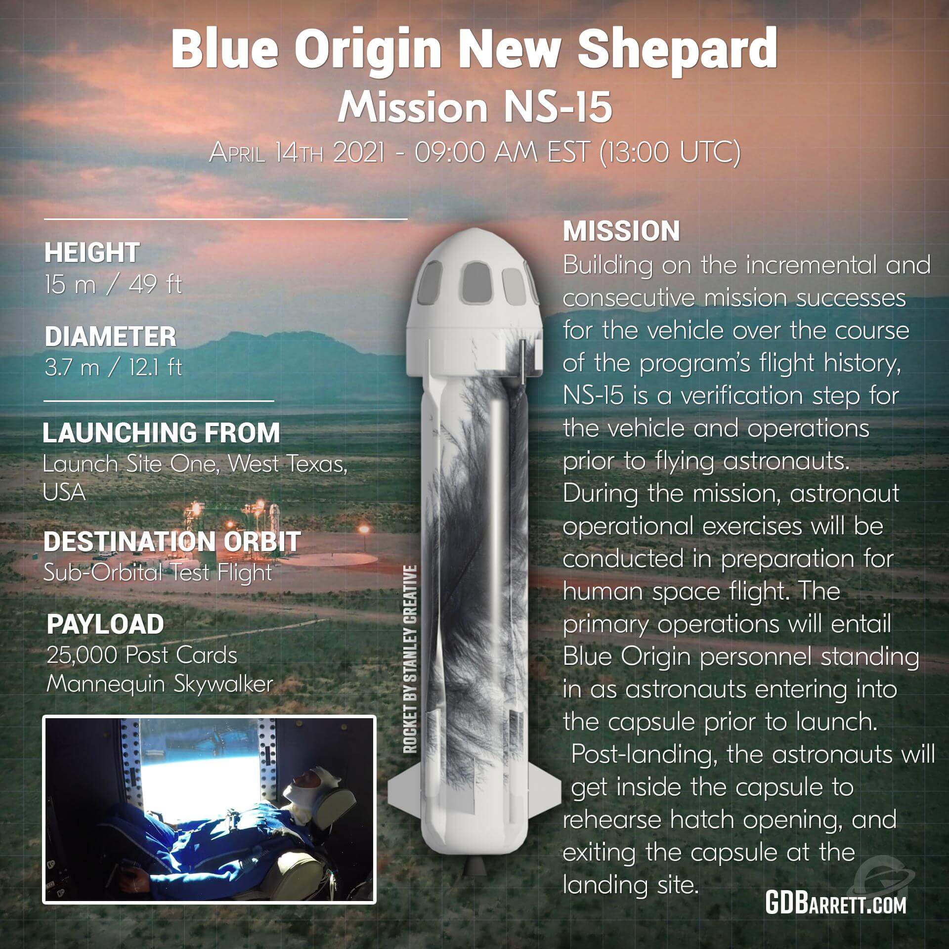
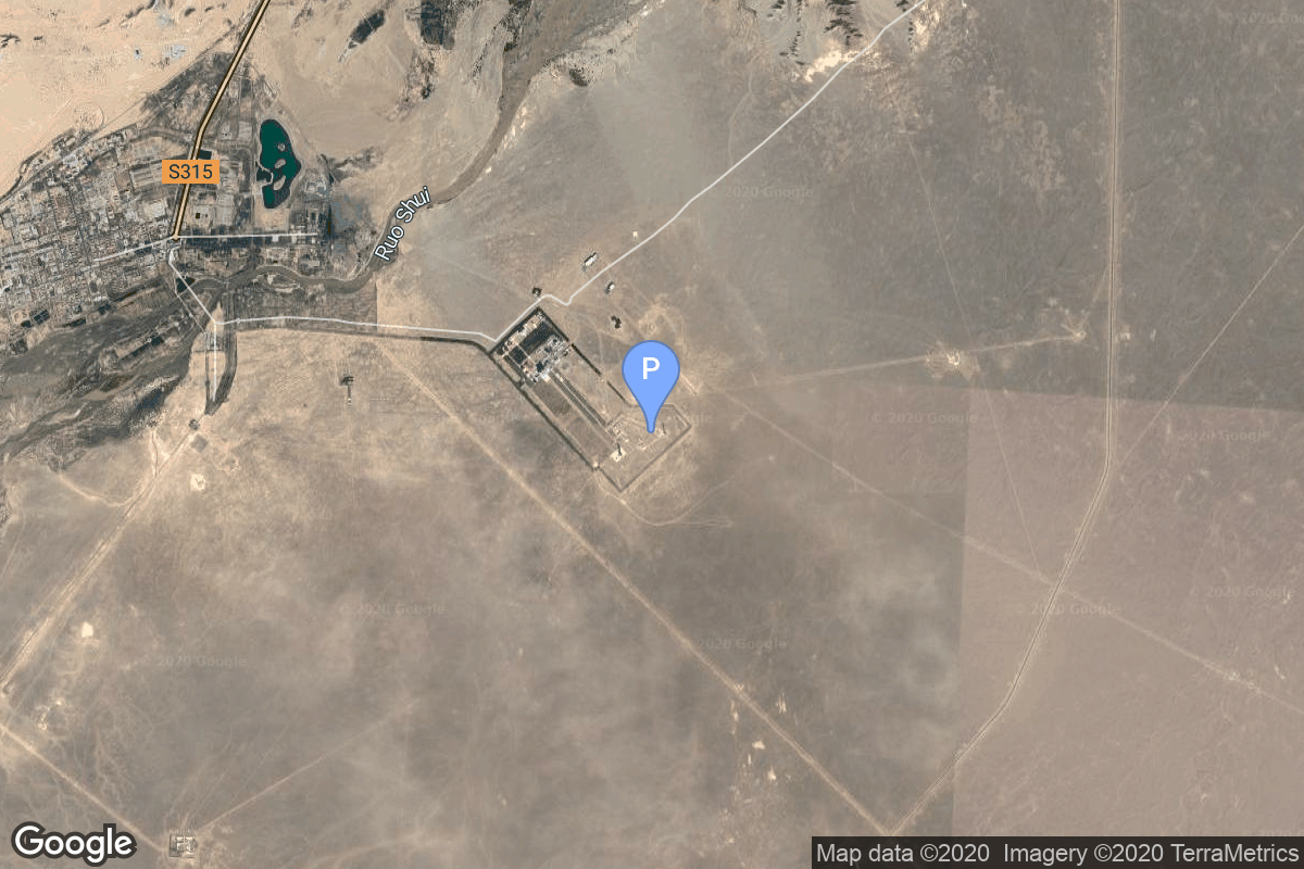
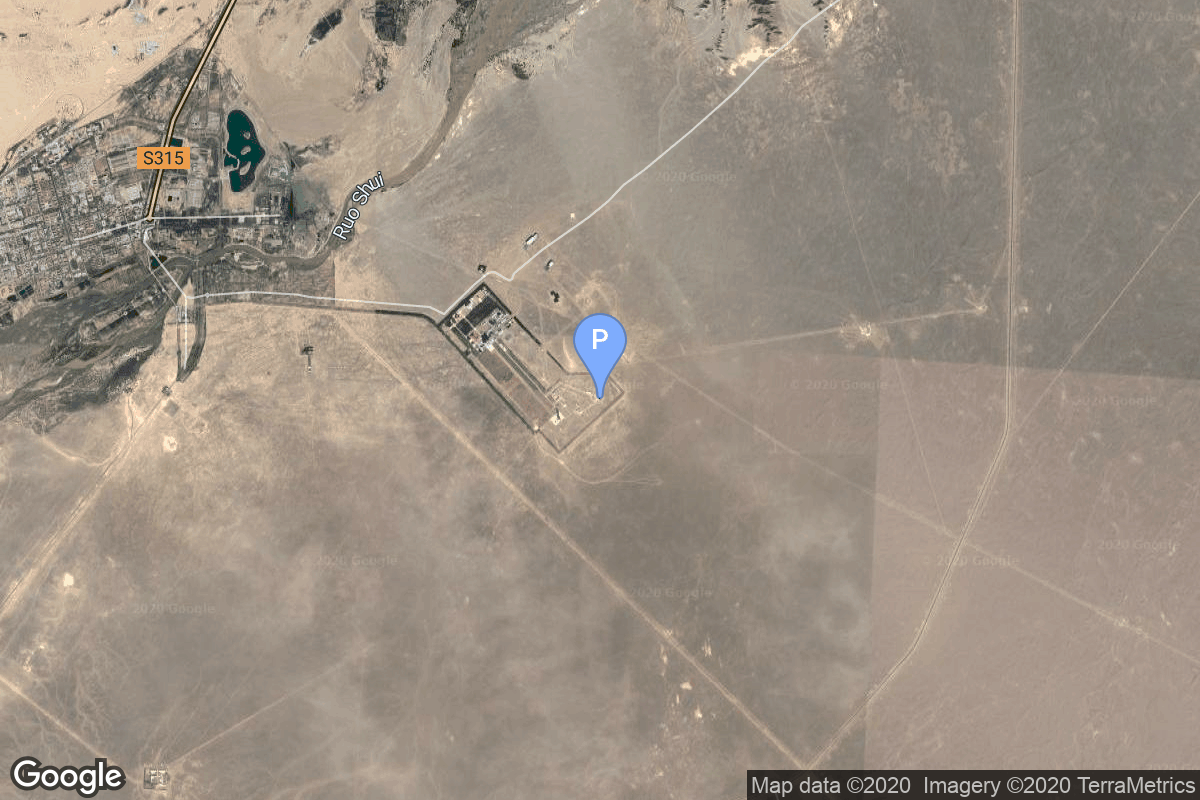
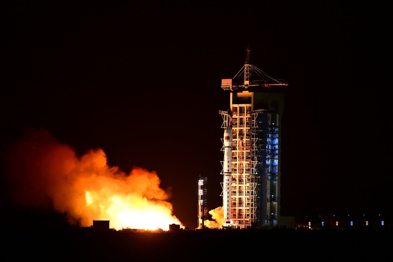
{ "count": 7502, "next": "https://ll.thespacedevs.com/2.0.0/launch/?format=api&limit=10&offset=540&ordering=-id", "previous": "https://ll.thespacedevs.com/2.0.0/launch/?format=api&limit=10&offset=520&ordering=-id", "results": [ { "id": "ed2827ad-bfd3-4c6b-a876-d2422149b13c", "url": "https://ll.thespacedevs.com/2.0.0/launch/ed2827ad-bfd3-4c6b-a876-d2422149b13c/?format=api", "launch_library_id": null, "slug": "atlas-esgs-2-gps-8", "name": "Atlas E/SGS-2 | GPS 8", "status": { "id": 3, "name": "Success" }, "net": "1983-07-14T10:21:00Z", "window_end": "1983-07-14T10:21:00Z", "window_start": "1983-07-14T10:21:00Z", "inhold": false, "tbdtime": false, "tbddate": false, "probability": null, "holdreason": "", "failreason": "", "hashtag": null, "launch_service_provider": { "id": 161, "url": "https://ll.thespacedevs.com/2.0.0/agencies/161/?format=api", "name": "United States Air Force", "type": "Government" }, "rocket": { "id": 5542, "configuration": { "id": 242, "launch_library_id": null, "url": "https://ll.thespacedevs.com/2.0.0/config/launcher/242/?format=api", "name": "Atlas E/SGS-2", "family": "Atlas", "full_name": "Atlas E/SGS-2", "variant": "E/SGS-2" } }, "mission": { "id": 3946, "launch_library_id": null, "name": "GPS 8", "description": "First generation GPS satellite", "launch_designator": null, "type": "Navigation", "orbit": { "id": 12, "name": "Medium Earth Orbit", "abbrev": "MEO" } }, "pad": { "id": 93, "url": "https://ll.thespacedevs.com/2.0.0/pad/93/?format=api", "agency_id": 161, "name": "Space Launch Complex 3W", "info_url": null, "wiki_url": "https://en.wikipedia.org/wiki/Vandenberg_Space_Launch_Complex_3#SLC-3W", "map_url": "https://www.google.com/maps?q=34.644,-120.593", "latitude": "34.644", "longitude": "-120.593", "location": { "id": 11, "url": "https://ll.thespacedevs.com/2.0.0/location/11/?format=api", "name": "Vandenberg SFB, CA, USA", "country_code": "USA", "map_image": "https://thespacedevs-prod.nyc3.digitaloceanspaces.com/media/map_images/location_11_20200803142416.jpg", "total_launch_count": 807, "total_landing_count": 26 }, "map_image": "https://thespacedevs-prod.nyc3.digitaloceanspaces.com/media/map_images/pad_93_20200803143225.jpg", "total_launch_count": 81 }, "webcast_live": false, "image": null, "infographic": null, "program": [ { "id": 29, "url": "https://ll.thespacedevs.com/2.0.0/program/29/?format=api", "name": "Global Positioning System", "description": "The Global Positioning System (GPS), originally Navstar GPS, is a satellite-based radio navigation system owned by the United States government and operated by the United States Space Force. It is one of the global navigation satellite systems (GNSS) that provide geolocation and time information to a GPS receiver anywhere on or near the Earth where there is an unobstructed line of sight to four or more GPS satellites.", "agencies": [ { "id": 1041, "url": "https://ll.thespacedevs.com/2.0.0/agencies/1041/?format=api", "name": "United States Space Force", "type": "Government" } ], "image_url": "https://thespacedevs-prod.nyc3.digitaloceanspaces.com/media/images/global2520posi_program_20231229182501.png", "start_date": "1978-02-22T00:00:00Z", "end_date": null, "info_url": "https://www.gps.gov/", "wiki_url": "https://en.wikipedia.org/wiki/Global_Positioning_System" } ] }, { "id": "ed26b6b6-5dfd-4ad7-821e-69e8c68f68ab", "url": "https://ll.thespacedevs.com/2.0.0/launch/ed26b6b6-5dfd-4ad7-821e-69e8c68f68ab/?format=api", "launch_library_id": null, "slug": "thorad-slv-2h-agena-d-kh-4b-15", "name": "Thorad SLV-2H Agena D | KH-4B 15", "status": { "id": 3, "name": "Success" }, "net": "1971-09-10T21:32:56Z", "window_end": "1971-09-10T21:32:56Z", "window_start": "1971-09-10T21:32:56Z", "inhold": false, "tbdtime": false, "tbddate": false, "probability": null, "holdreason": "", "failreason": null, "hashtag": null, "launch_service_provider": { "id": 161, "url": "https://ll.thespacedevs.com/2.0.0/agencies/161/?format=api", "name": "United States Air Force", "type": "Government" }, "rocket": { "id": 4170, "configuration": { "id": 419, "launch_library_id": null, "url": "https://ll.thespacedevs.com/2.0.0/config/launcher/419/?format=api", "name": "Thorad SLV-2H Agena D", "family": "Thor", "full_name": "Thorad SLV-2H Agena D", "variant": "SLV-2H Agena D" } }, "mission": { "id": 2588, "launch_library_id": null, "name": "KH-4B 15", "description": "The KH-4B (Keyhole-4B) was sixth optical reconnaissance satellite version in the Corona-program.", "launch_designator": null, "type": "Government/Top Secret", "orbit": { "id": 8, "name": "Low Earth Orbit", "abbrev": "LEO" } }, "pad": { "id": 93, "url": "https://ll.thespacedevs.com/2.0.0/pad/93/?format=api", "agency_id": 161, "name": "Space Launch Complex 3W", "info_url": null, "wiki_url": "https://en.wikipedia.org/wiki/Vandenberg_Space_Launch_Complex_3#SLC-3W", "map_url": "https://www.google.com/maps?q=34.644,-120.593", "latitude": "34.644", "longitude": "-120.593", "location": { "id": 11, "url": "https://ll.thespacedevs.com/2.0.0/location/11/?format=api", "name": "Vandenberg SFB, CA, USA", "country_code": "USA", "map_image": "https://thespacedevs-prod.nyc3.digitaloceanspaces.com/media/map_images/location_11_20200803142416.jpg", "total_launch_count": 807, "total_landing_count": 26 }, "map_image": "https://thespacedevs-prod.nyc3.digitaloceanspaces.com/media/map_images/pad_93_20200803143225.jpg", "total_launch_count": 81 }, "webcast_live": false, "image": null, "infographic": null, "program": [] }, { "id": "ed1943dc-b9ba-466f-a49b-21e34398ce3a", "url": "https://ll.thespacedevs.com/2.0.0/launch/ed1943dc-b9ba-466f-a49b-21e34398ce3a/?format=api", "launch_library_id": null, "slug": "molniya-m-molniya-2-17", "name": "Molniya-M | Molniya-2 17", "status": { "id": 3, "name": "Success" }, "net": "1977-02-11T14:57:00Z", "window_end": "1977-02-11T14:57:00Z", "window_start": "1977-02-11T14:57:00Z", "inhold": false, "tbdtime": false, "tbddate": false, "probability": null, "holdreason": "", "failreason": null, "hashtag": null, "launch_service_provider": { "id": 66, "url": "https://ll.thespacedevs.com/2.0.0/agencies/66/?format=api", "name": "Soviet Space Program", "type": "Government" }, "rocket": { "id": 4799, "configuration": { "id": 106, "launch_library_id": 126, "url": "https://ll.thespacedevs.com/2.0.0/config/launcher/106/?format=api", "name": "Molniya-M", "family": "R-7", "full_name": "Molniya-M 2BL", "variant": "2BL" } }, "mission": { "id": 3216, "launch_library_id": null, "name": "Molniya-2 17", "description": "Government communications satellite.", "launch_designator": null, "type": "Government/Top Secret", "orbit": { "id": 0, "name": "Elliptical Orbit", "abbrev": "Elliptical" } }, "pad": { "id": 85, "url": "https://ll.thespacedevs.com/2.0.0/pad/85/?format=api", "agency_id": 163, "name": "43/4 (43R)", "info_url": null, "wiki_url": null, "map_url": "https://www.google.com/maps?q=62.92883,40.457098", "latitude": "62.92883", "longitude": "40.457098", "location": { "id": 6, "url": "https://ll.thespacedevs.com/2.0.0/location/6/?format=api", "name": "Plesetsk Cosmodrome, Russian Federation", "country_code": "RUS", "map_image": "https://thespacedevs-prod.nyc3.digitaloceanspaces.com/media/map_images/location_6_20200803142434.jpg", "total_launch_count": 1674, "total_landing_count": 0 }, "map_image": "https://thespacedevs-prod.nyc3.digitaloceanspaces.com/media/map_images/pad_85_20200803143554.jpg", "total_launch_count": 323 }, "webcast_live": false, "image": null, "infographic": null, "program": [] }, { "id": "ed1565a1-58a8-4aab-8474-e05e07d34751", "url": "https://ll.thespacedevs.com/2.0.0/launch/ed1565a1-58a8-4aab-8474-e05e07d34751/?format=api", "launch_library_id": null, "slug": "tsiklon-3-tselina-d-43", "name": "Tsiklon-3 | Tselina-D 43", "status": { "id": 3, "name": "Success" }, "net": "1983-12-15T12:25:00Z", "window_end": "1983-12-15T12:25:00Z", "window_start": "1983-12-15T12:25:00Z", "inhold": false, "tbdtime": false, "tbddate": false, "probability": null, "holdreason": "", "failreason": null, "hashtag": null, "launch_service_provider": { "id": 66, "url": "https://ll.thespacedevs.com/2.0.0/agencies/66/?format=api", "name": "Soviet Space Program", "type": "Government" }, "rocket": { "id": 5588, "configuration": { "id": 445, "launch_library_id": null, "url": "https://ll.thespacedevs.com/2.0.0/config/launcher/445/?format=api", "name": "Tsiklon-3", "family": "Tsiklon", "full_name": "Tsiklon-3", "variant": "3" } }, "mission": { "id": 3991, "launch_library_id": null, "name": "Tselina-D 43", "description": "Tselina-D satellites provided detailed observation of radio sources detected by the smaller Tselina-O satellites as part of the Tselina ELINT system.", "launch_designator": null, "type": "Government/Top Secret", "orbit": { "id": 8, "name": "Low Earth Orbit", "abbrev": "LEO" } }, "pad": { "id": 127, "url": "https://ll.thespacedevs.com/2.0.0/pad/127/?format=api", "agency_id": 63, "name": "32/2", "info_url": null, "wiki_url": "https://en.wikipedia.org/wiki/Plesetsk_Cosmodrome_Site_32", "map_url": "https://www.google.com/maps?q=62.9063889,40.7844727", "latitude": "62.9063889", "longitude": "40.7844727", "location": { "id": 6, "url": "https://ll.thespacedevs.com/2.0.0/location/6/?format=api", "name": "Plesetsk Cosmodrome, Russian Federation", "country_code": "RUS", "map_image": "https://thespacedevs-prod.nyc3.digitaloceanspaces.com/media/map_images/location_6_20200803142434.jpg", "total_launch_count": 1674, "total_landing_count": 0 }, "map_image": "https://thespacedevs-prod.nyc3.digitaloceanspaces.com/media/map_images/pad_127_20200803143245.jpg", "total_launch_count": 65 }, "webcast_live": false, "image": null, "infographic": null, "program": [] }, { "id": "ed0d5ab7-a55e-42dc-8424-d4e94418b1e5", "url": "https://ll.thespacedevs.com/2.0.0/launch/ed0d5ab7-a55e-42dc-8424-d4e94418b1e5/?format=api", "launch_library_id": null, "slug": "thor-dm-21-agena-b-kh-4-9", "name": "Thor DM-21 Agena-B | KH-4 9", "status": { "id": 3, "name": "Success" }, "net": "1962-07-28T00:30:09Z", "window_end": "1962-07-28T00:30:09Z", "window_start": "1962-07-28T00:30:09Z", "inhold": false, "tbdtime": false, "tbddate": false, "probability": null, "holdreason": "", "failreason": null, "hashtag": null, "launch_service_provider": { "id": 161, "url": "https://ll.thespacedevs.com/2.0.0/agencies/161/?format=api", "name": "United States Air Force", "type": "Government" }, "rocket": { "id": 3140, "configuration": { "id": 186, "launch_library_id": 201, "url": "https://ll.thespacedevs.com/2.0.0/config/launcher/186/?format=api", "name": "Thor DM-21 Agena-B", "family": "Thor", "full_name": "Thor DM-21 Agena-B", "variant": "" } }, "mission": { "id": 1562, "launch_library_id": null, "name": "KH-4 9", "description": "The KH-4 (Keyhole-4) was fourth version in the Corona-program to build an optical reconnaissance satellite.", "launch_designator": null, "type": "Government/Top Secret", "orbit": { "id": 8, "name": "Low Earth Orbit", "abbrev": "LEO" } }, "pad": { "id": 95, "url": "https://ll.thespacedevs.com/2.0.0/pad/95/?format=api", "agency_id": 161, "name": "Space Launch Complex 1W", "info_url": null, "wiki_url": "https://en.wikipedia.org/wiki/Vandenberg_Space_Launch_Complex_1", "map_url": "https://www.google.com/maps?q=34.7572,-120.6303", "latitude": "34.7572", "longitude": "-120.6303", "location": { "id": 11, "url": "https://ll.thespacedevs.com/2.0.0/location/11/?format=api", "name": "Vandenberg SFB, CA, USA", "country_code": "USA", "map_image": "https://thespacedevs-prod.nyc3.digitaloceanspaces.com/media/map_images/location_11_20200803142416.jpg", "total_launch_count": 807, "total_landing_count": 26 }, "map_image": "https://thespacedevs-prod.nyc3.digitaloceanspaces.com/media/map_images/pad_95_20200803143209.jpg", "total_launch_count": 56 }, "webcast_live": false, "image": "https://thespacedevs-prod.nyc3.digitaloceanspaces.com/media/images/thor2520dm-212520agena-b_image_20190414123658.jpg", "infographic": null, "program": [] }, { "id": "ecf4290b-22dc-43c8-b86e-3506d5630fa2", "url": "https://ll.thespacedevs.com/2.0.0/launch/ecf4290b-22dc-43c8-b86e-3506d5630fa2/?format=api", "launch_library_id": null, "slug": "new-shepard-ns-15", "name": "New Shepard | NS-15", "status": { "id": 3, "name": "Success" }, "net": "2021-04-14T16:49:15Z", "window_end": "2021-04-17T20:00:00Z", "window_start": "2021-04-14T13:00:00Z", "inhold": false, "tbdtime": false, "tbddate": false, "probability": null, "holdreason": "", "failreason": "", "hashtag": null, "launch_service_provider": { "id": 141, "url": "https://ll.thespacedevs.com/2.0.0/agencies/141/?format=api", "name": "Blue Origin", "type": "Commercial" }, "rocket": { "id": 2851, "configuration": { "id": 137, "launch_library_id": 9999, "url": "https://ll.thespacedevs.com/2.0.0/config/launcher/137/?format=api", "name": "New Shepard", "family": "", "full_name": "New Shepard", "variant": "" } }, "mission": { "id": 1265, "launch_library_id": null, "name": "NS-15", "description": "Fifteenth flight of Blue Origin's New Shepard rocket.\r\n\r\nDuring the mission, astronaut operational exercises will be conducted in preparation for human space flight. The primary operations will entail Blue Origin personnel standing in as astronauts entering into the capsule prior to launch. These astronauts will climb the launch tower, get into their seats, buckle their harnesses, and conduct a communications check from their seat with CAPCOM, the Capsule Communicator. The tower operations team will prepare the capsule cabin for launch and then briefly close the capsule hatch. The astronauts will then exit the capsule prior to launch. \r\n\r\nPost-landing, the astronauts will get inside the capsule to rehearse hatch opening, and exiting the capsule at the landing site. \r\n\r\nInside the capsule during the flight will be Mannequin Skywalker, along with more than 25,000 postcards on behalf of Club for the Future, Blue Origin’s nonprofit organization", "launch_designator": null, "type": "Suborbital", "orbit": { "id": 15, "name": "Suborbital", "abbrev": "Sub" } }, "pad": { "id": 90, "url": "https://ll.thespacedevs.com/2.0.0/pad/90/?format=api", "agency_id": 141, "name": "West Texas Suborbital Launch Site/ Corn Ranch", "info_url": "http://www.blueorigin.com", "wiki_url": "https://en.wikipedia.org/wiki/Corn_Ranch", "map_url": "https://www.google.com/maps?q=31.422878000000000,-104.757121000000000", "latitude": "31.422878", "longitude": "-104.757121", "location": { "id": 29, "url": "https://ll.thespacedevs.com/2.0.0/location/29/?format=api", "name": "Corn Ranch, Van Horn, TX, USA", "country_code": "USA", "map_image": "https://thespacedevs-prod.nyc3.digitaloceanspaces.com/media/map_images/location_29_20200803142436.jpg", "total_launch_count": 31, "total_landing_count": 31 }, "map_image": "https://thespacedevs-prod.nyc3.digitaloceanspaces.com/media/map_images/pad_90_20200803143233.jpg", "total_launch_count": 31 }, "webcast_live": false, "image": "https://thespacedevs-prod.nyc3.digitaloceanspaces.com/media/images/new2520shepard_image_20190207032624.jpeg", "infographic": "https://thespacedevs-prod.nyc3.digitaloceanspaces.com/media/infographic_images/new2520shepard_infographic_20210412202149.jpeg", "program": [] }, { "id": "ecef37b3-2e0f-4aed-a6c7-83ec526f3f64", "url": "https://ll.thespacedevs.com/2.0.0/launch/ecef37b3-2e0f-4aed-a6c7-83ec526f3f64/?format=api", "launch_library_id": null, "slug": "athena-i-formosat-1", "name": "Athena I | Formosat-1", "status": { "id": 3, "name": "Success" }, "net": "1999-01-27T00:34:02Z", "window_end": "1999-01-27T00:34:02Z", "window_start": "1999-01-27T00:34:02Z", "inhold": false, "tbdtime": false, "tbddate": false, "probability": null, "holdreason": "", "failreason": null, "hashtag": null, "launch_service_provider": { "id": 82, "url": "https://ll.thespacedevs.com/2.0.0/agencies/82/?format=api", "name": "Lockheed Martin", "type": "Commercial" }, "rocket": { "id": 6898, "configuration": { "id": 228, "launch_library_id": null, "url": "https://ll.thespacedevs.com/2.0.0/config/launcher/228/?format=api", "name": "Athena I", "family": "Athena", "full_name": "Athena I", "variant": "I" } }, "mission": { "id": 5288, "launch_library_id": null, "name": "Formosat-1", "description": "The mission objective of ROCSAT-1 (Republic of China Satellite 1) is to develop, launch, and operate a low earth orbit satellite, and to conduct three scientific and technology experiments in the areas of ocean color imaging, space telecommunication, and solar-terrestrial physics.", "launch_designator": null, "type": "Earth Science", "orbit": { "id": 8, "name": "Low Earth Orbit", "abbrev": "LEO" } }, "pad": { "id": 27, "url": "https://ll.thespacedevs.com/2.0.0/pad/27/?format=api", "agency_id": null, "name": "Space Launch Complex 46", "info_url": null, "wiki_url": "https://en.wikipedia.org/wiki/Spaceport_Florida_Launch_Complex_46", "map_url": "https://www.google.com/maps?q=28.4584,-80.5284", "latitude": "28.4584", "longitude": "-80.5284", "location": { "id": 12, "url": "https://ll.thespacedevs.com/2.0.0/location/12/?format=api", "name": "Cape Canaveral SFS, FL, USA", "country_code": "USA", "map_image": "https://thespacedevs-prod.nyc3.digitaloceanspaces.com/media/map_images/location_12_20200803142519.jpg", "total_launch_count": 1023, "total_landing_count": 64 }, "map_image": "https://thespacedevs-prod.nyc3.digitaloceanspaces.com/media/map_images/pad_27_20200803143319.jpg", "total_launch_count": 6 }, "webcast_live": false, "image": "https://thespacedevs-prod.nyc3.digitaloceanspaces.com/media/images/athena_1_liftof_image_20240411090356.jpeg", "infographic": null, "program": [] }, { "id": "ece7ecb8-1e79-41f3-a78b-997f8e99b1a2", "url": "https://ll.thespacedevs.com/2.0.0/launch/ece7ecb8-1e79-41f3-a78b-997f8e99b1a2/?format=api", "launch_library_id": null, "slug": "molniya-m-molniya-1t-92", "name": "Molniya-M | Molniya-1T 92", "status": { "id": 3, "name": "Success" }, "net": "2003-04-02T01:53:01Z", "window_end": "2003-04-02T01:53:01Z", "window_start": "2003-04-02T01:53:01Z", "inhold": false, "tbdtime": false, "tbddate": false, "probability": null, "holdreason": "", "failreason": null, "hashtag": null, "launch_service_provider": { "id": 111, "url": "https://ll.thespacedevs.com/2.0.0/agencies/111/?format=api", "name": "Progress Rocket Space Center", "type": "Commercial" }, "rocket": { "id": 7127, "configuration": { "id": 106, "launch_library_id": 126, "url": "https://ll.thespacedevs.com/2.0.0/config/launcher/106/?format=api", "name": "Molniya-M", "family": "R-7", "full_name": "Molniya-M 2BL", "variant": "2BL" } }, "mission": { "id": 5516, "launch_library_id": null, "name": "Molniya-1T 92", "description": "Military communications satellite in a highly elliptic orbit", "launch_designator": null, "type": "Communications", "orbit": { "id": 0, "name": "Elliptical Orbit", "abbrev": "Elliptical" } }, "pad": { "id": 35, "url": "https://ll.thespacedevs.com/2.0.0/pad/35/?format=api", "agency_id": 163, "name": "16/2", "info_url": null, "wiki_url": "", "map_url": "https://www.google.com/maps?q=62.960091,40.682983", "latitude": "62.960091", "longitude": "40.682983", "location": { "id": 6, "url": "https://ll.thespacedevs.com/2.0.0/location/6/?format=api", "name": "Plesetsk Cosmodrome, Russian Federation", "country_code": "RUS", "map_image": "https://thespacedevs-prod.nyc3.digitaloceanspaces.com/media/map_images/location_6_20200803142434.jpg", "total_launch_count": 1674, "total_landing_count": 0 }, "map_image": "https://thespacedevs-prod.nyc3.digitaloceanspaces.com/media/map_images/pad_35_20200803143306.jpg", "total_launch_count": 136 }, "webcast_live": false, "image": null, "infographic": null, "program": [] }, { "id": "ece77e04-f0d4-4c6a-b57d-abc112e3f0dd", "url": "https://ll.thespacedevs.com/2.0.0/launch/ece77e04-f0d4-4c6a-b57d-abc112e3f0dd/?format=api", "launch_library_id": null, "slug": "kaituozhe-1-hangtian-tsinghua-1-02", "name": "Kaituozhe-1 | Hangtian Tsinghua 1-02", "status": { "id": 4, "name": "Failure" }, "net": "2003-09-16T10:30:00Z", "window_end": "2003-09-16T10:30:00Z", "window_start": "2003-09-16T10:30:00Z", "inhold": false, "tbdtime": false, "tbddate": false, "probability": null, "holdreason": "", "failreason": "", "hashtag": null, "launch_service_provider": { "id": 88, "url": "https://ll.thespacedevs.com/2.0.0/agencies/88/?format=api", "name": "China Aerospace Science and Technology Corporation", "type": "Government" }, "rocket": { "id": 7149, "configuration": { "id": 326, "launch_library_id": null, "url": "https://ll.thespacedevs.com/2.0.0/config/launcher/326/?format=api", "name": "Kaituozhe-1", "family": "Kaituozhe", "full_name": "Kaituozhe-1", "variant": "1" } }, "mission": { "id": 5538, "launch_library_id": null, "name": "Hangtian Tsinghua 1-02", "description": "Tsinghua-1 or Hangtian Qinghua 1 is the first demonstrator for the Disaster Monitoring Constellation and carries multi-spectral Earth imaging cameras providing 39-meter nadir ground resolution in 3 spectral bands.", "launch_designator": null, "type": "Earth Science", "orbit": { "id": 8, "name": "Low Earth Orbit", "abbrev": "LEO" } }, "pad": { "id": 142, "url": "https://ll.thespacedevs.com/2.0.0/pad/142/?format=api", "agency_id": null, "name": "Kaituozhe Launch Pad", "info_url": null, "wiki_url": "https://en.wikipedia.org/wiki/Taiyuan_Satellite_Launch_Center", "map_url": "https://www.google.com/maps?q=38.835756,111.606406", "latitude": "38.835756", "longitude": "111.606406", "location": { "id": 19, "url": "https://ll.thespacedevs.com/2.0.0/location/19/?format=api", "name": "Taiyuan Satellite Launch Center, People's Republic of China", "country_code": "CHN", "map_image": "https://thespacedevs-prod.nyc3.digitaloceanspaces.com/media/map_images/location_19_20200803142421.jpg", "total_launch_count": 141, "total_landing_count": 0 }, "map_image": "https://thespacedevs-prod.nyc3.digitaloceanspaces.com/media/map_images/pad_142_20200803143244.jpg", "total_launch_count": 3 }, "webcast_live": false, "image": null, "infographic": null, "program": [] }, { "id": "ecdfa281-834c-4419-bed6-92d0d635a3cf", "url": "https://ll.thespacedevs.com/2.0.0/launch/ecdfa281-834c-4419-bed6-92d0d635a3cf/?format=api", "launch_library_id": null, "slug": "long-march-4c-yaogan-33-03", "name": "Long March 4C | Yaogan 33-03", "status": { "id": 3, "name": "Success" }, "net": "2023-09-06T18:14:00Z", "window_end": "2023-09-06T18:29:00Z", "window_start": "2023-09-06T18:06:00Z", "inhold": false, "tbdtime": false, "tbddate": false, "probability": null, "holdreason": "", "failreason": "", "hashtag": null, "launch_service_provider": { "id": 88, "url": "https://ll.thespacedevs.com/2.0.0/agencies/88/?format=api", "name": "China Aerospace Science and Technology Corporation", "type": "Government" }, "rocket": { "id": 7998, "configuration": { "id": 64, "launch_library_id": 70, "url": "https://ll.thespacedevs.com/2.0.0/config/launcher/64/?format=api", "name": "Long March 4C", "family": "Long March", "full_name": "Long March 4C", "variant": "C" } }, "mission": { "id": 6530, "launch_library_id": null, "name": "Yaogan 33-03", "description": "The Yaogan 33-03 is a Chinese military “remote sensing” satellite of unknown purpose.", "launch_designator": null, "type": "Government/Top Secret", "orbit": { "id": 17, "name": "Sun-Synchronous Orbit", "abbrev": "SSO" } }, "pad": { "id": 22, "url": "https://ll.thespacedevs.com/2.0.0/pad/22/?format=api", "agency_id": null, "name": "Launch Area 4 (SLS-2 / 603)", "info_url": null, "wiki_url": "https://en.wikipedia.org/wiki/Jiuquan_Launch_Area_4", "map_url": "https://www.google.com/maps?q=40.960482,100.298059", "latitude": "40.960482", "longitude": "100.298059", "location": { "id": 17, "url": "https://ll.thespacedevs.com/2.0.0/location/17/?format=api", "name": "Jiuquan Satellite Launch Center, People's Republic of China", "country_code": "CHN", "map_image": "https://thespacedevs-prod.nyc3.digitaloceanspaces.com/media/map_images/location_17_20200803142429.jpg", "total_launch_count": 249, "total_landing_count": 0 }, "map_image": "https://thespacedevs-prod.nyc3.digitaloceanspaces.com/media/map_images/pad_22_20200803143437.jpg", "total_launch_count": 124 }, "webcast_live": false, "image": "https://thespacedevs-prod.nyc3.digitaloceanspaces.com/media/images/long2520march_image_20230906191228.jpeg", "infographic": null, "program": [] } ] }