Launch List
API endpoint that returns all Launch objects or a single launch.
EXAMPLE - /launch/
GET: Return a list of all Launch objects.
FILTERS: Fields - 'name', 'id(s)', 'lsp_id', 'lsp_name', 'serial_number', 'launcher_config__id', 'rocket__spacecraftflight__spacecraft__name'
MODE: 'normal', 'list', 'detailed' EXAMPLE: ?mode=list
SEARCH: Searches through the launch name, rocket name, launch agency, mission name & spacecraft name. EXAMPLE - ?search=SpaceX
GET /2.0.0/launch/?format=api&offset=520&ordering=-id
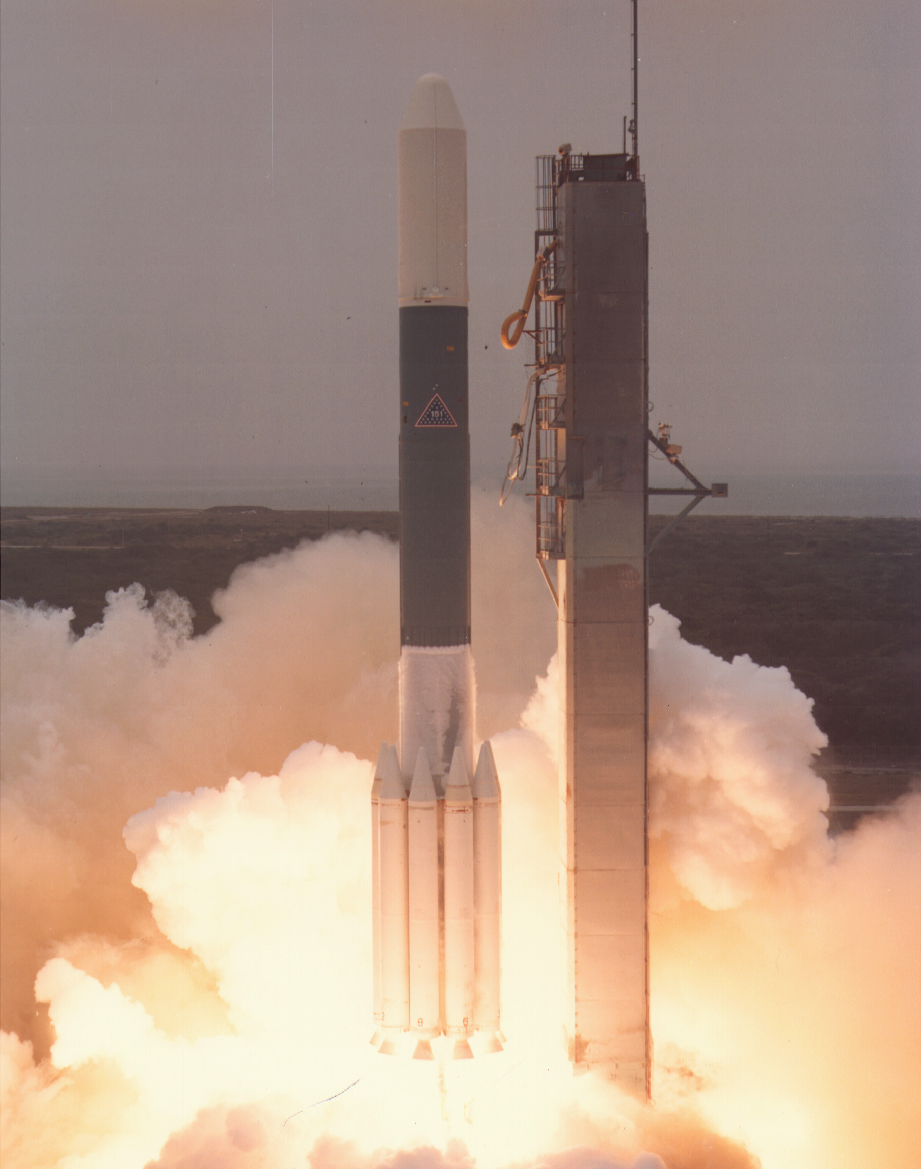
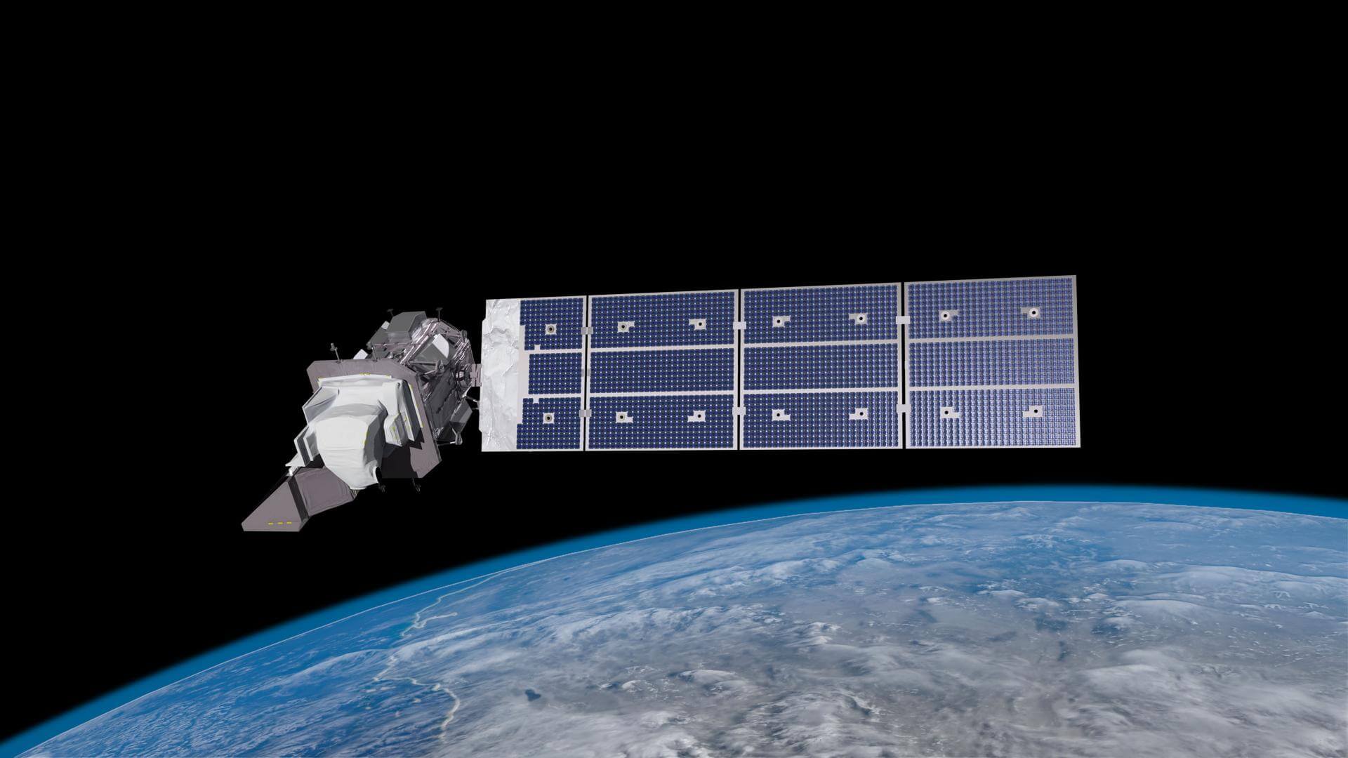
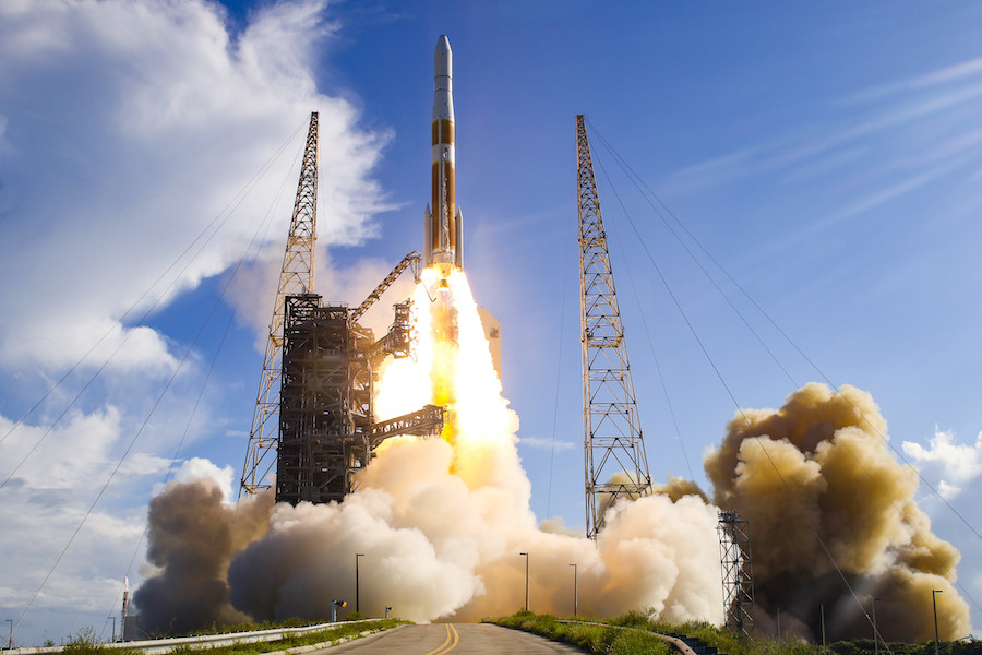
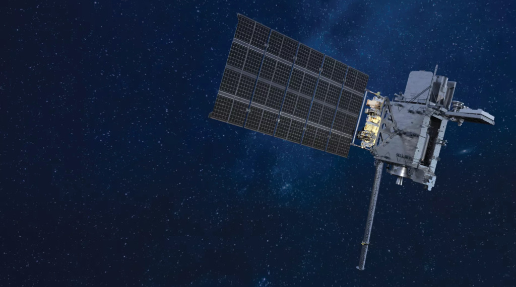
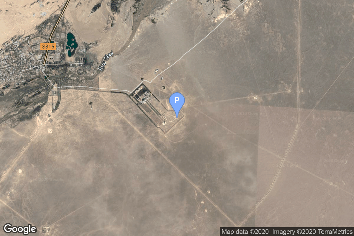
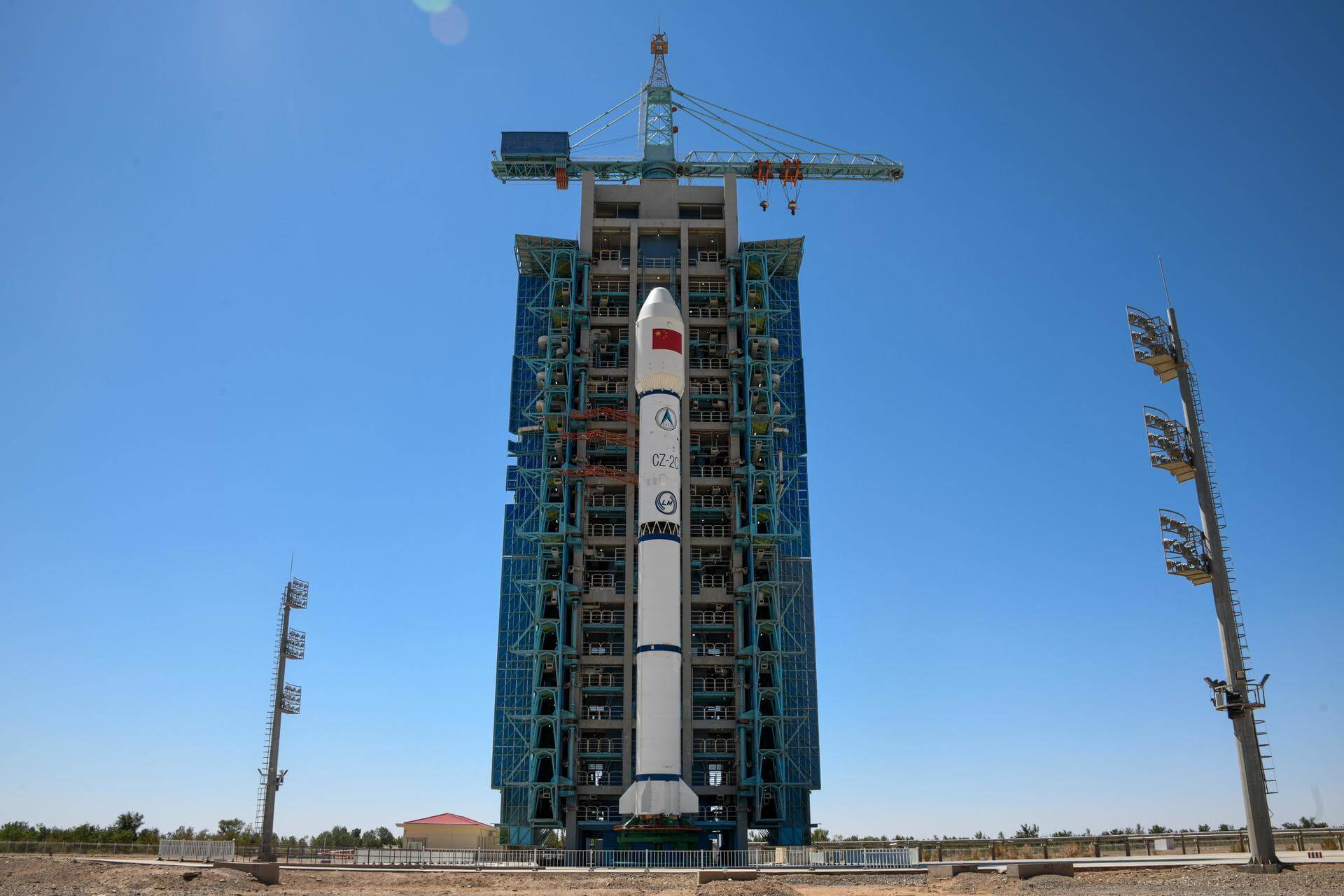
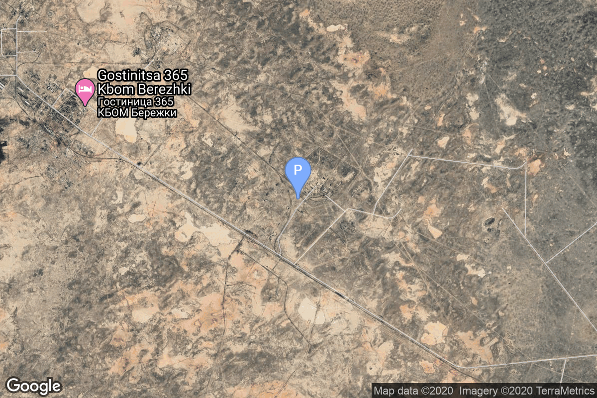
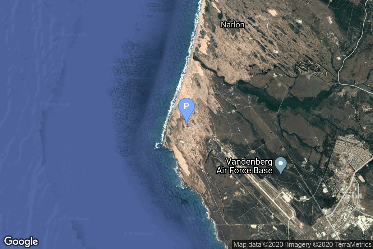
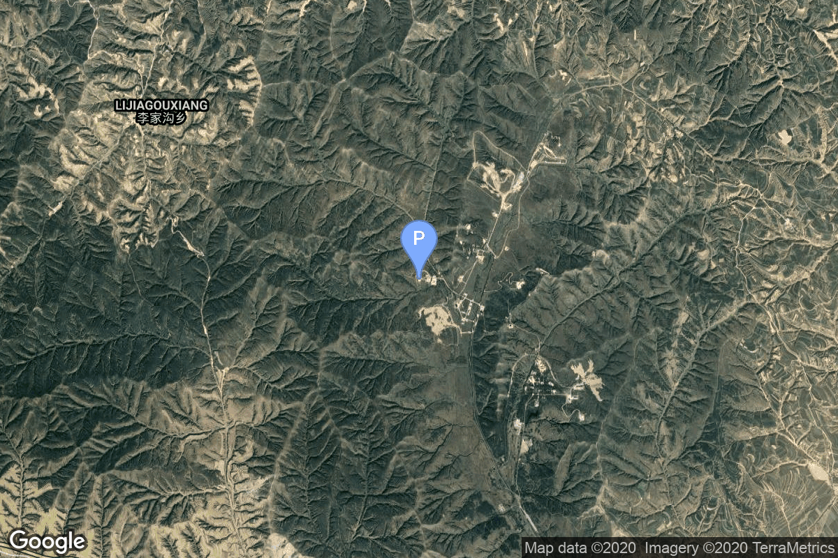
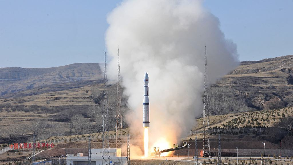
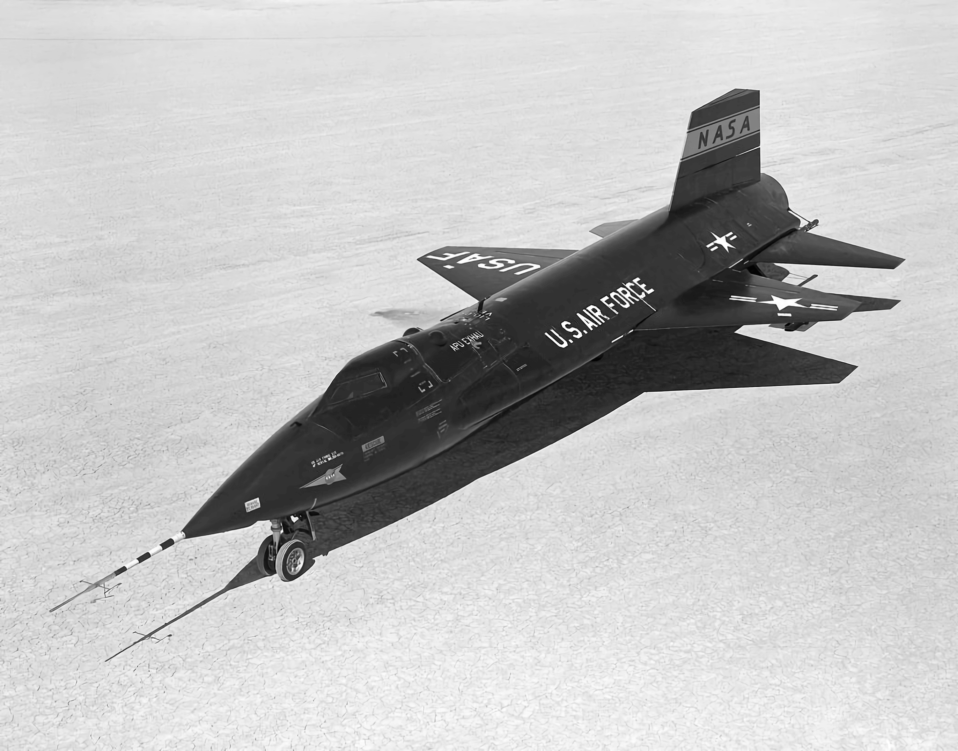
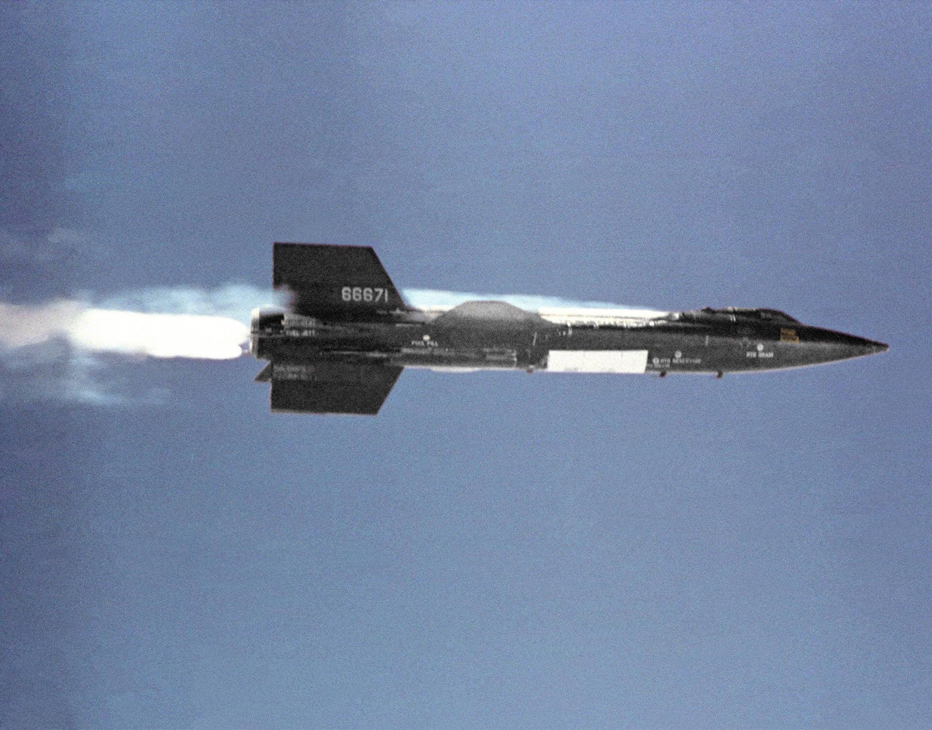
{ "count": 7501, "next": "https://ll.thespacedevs.com/2.0.0/launch/?format=api&limit=10&offset=530&ordering=-id", "previous": "https://ll.thespacedevs.com/2.0.0/launch/?format=api&limit=10&offset=510&ordering=-id", "results": [ { "id": "ed7d69f7-8563-454c-9ca6-6abf95bbf26e", "url": "https://ll.thespacedevs.com/2.0.0/launch/ed7d69f7-8563-454c-9ca6-6abf95bbf26e/?format=api", "launch_library_id": null, "slug": "delta-3920-landsat-5", "name": "Delta 3920 | Landsat 5", "status": { "id": 3, "name": "Success" }, "net": "1984-03-01T17:59:00Z", "window_end": "1984-03-01T17:59:00Z", "window_start": "1984-03-01T17:59:00Z", "inhold": false, "tbdtime": false, "tbddate": false, "probability": null, "holdreason": "", "failreason": "", "hashtag": null, "launch_service_provider": { "id": 161, "url": "https://ll.thespacedevs.com/2.0.0/agencies/161/?format=api", "name": "United States Air Force", "type": "Government" }, "rocket": { "id": 5611, "configuration": { "id": 292, "launch_library_id": null, "url": "https://ll.thespacedevs.com/2.0.0/config/launcher/292/?format=api", "name": "Delta 3920", "family": "Delta", "full_name": "Delta 3920", "variant": "3920" } }, "mission": { "id": 4014, "launch_library_id": null, "name": "Landsat 5", "description": "Earth resources monitoring satellite", "launch_designator": null, "type": "Earth Science", "orbit": { "id": 8, "name": "Low Earth Orbit", "abbrev": "LEO" } }, "pad": { "id": 39, "url": "https://ll.thespacedevs.com/2.0.0/pad/39/?format=api", "agency_id": null, "name": "Space Launch Complex 2W", "info_url": null, "wiki_url": "https://en.wikipedia.org/wiki/Vandenberg_Space_Launch_Complex_2", "map_url": "https://www.google.com/maps?q=34.7556,-120.6224", "latitude": "34.7556", "longitude": "-120.6224", "location": { "id": 11, "url": "https://ll.thespacedevs.com/2.0.0/location/11/?format=api", "name": "Vandenberg SFB, CA, USA", "country_code": "USA", "map_image": "https://thespacedevs-prod.nyc3.digitaloceanspaces.com/media/map_images/location_11_20200803142416.jpg", "total_launch_count": 806, "total_landing_count": 26 }, "map_image": "https://thespacedevs-prod.nyc3.digitaloceanspaces.com/media/map_images/pad_39_20200803143542.jpg", "total_launch_count": 98 }, "webcast_live": false, "image": "https://thespacedevs-prod.nyc3.digitaloceanspaces.com/media/images/delta_3910_image_20231231105538.jpeg", "infographic": null, "program": [ { "id": 31, "url": "https://ll.thespacedevs.com/2.0.0/program/31/?format=api", "name": "Landsat", "description": "The Landsat program is the longest-running enterprise for acquisition of satellite imagery of Earth. It is a joint NASA / USGS program.", "agencies": [ { "id": 44, "url": "https://ll.thespacedevs.com/2.0.0/agencies/44/?format=api", "name": "National Aeronautics and Space Administration", "type": "Government" } ], "image_url": "https://thespacedevs-prod.nyc3.digitaloceanspaces.com/media/images/landsat_program_20231230154736.jpeg", "start_date": "1972-07-23T00:00:00Z", "end_date": null, "info_url": null, "wiki_url": "https://en.wikipedia.org/wiki/Landsat_program" } ] }, { "id": "ed79a690-b9d3-45b8-836b-84ed212f90ac", "url": "https://ll.thespacedevs.com/2.0.0/launch/ed79a690-b9d3-45b8-836b-84ed212f90ac/?format=api", "launch_library_id": 1552, "slug": "delta-iv-m42-goes-14", "name": "Delta IV M+(4,2) | GOES-14", "status": { "id": 3, "name": "Success" }, "net": "2009-06-27T22:51:00Z", "window_end": "2009-06-27T22:51:00Z", "window_start": "2009-06-27T22:51:00Z", "inhold": false, "tbdtime": false, "tbddate": false, "probability": 0, "holdreason": "", "failreason": "", "hashtag": "", "launch_service_provider": { "id": 124, "url": "https://ll.thespacedevs.com/2.0.0/agencies/124/?format=api", "name": "United Launch Alliance", "type": "Commercial" }, "rocket": { "id": 1420, "configuration": { "id": 33, "launch_library_id": 40, "url": "https://ll.thespacedevs.com/2.0.0/config/launcher/33/?format=api", "name": "Delta IV M+(4,2)", "family": "Delta", "full_name": "Delta IV M+(4,2)", "variant": "M+(4,2)" } }, "mission": { "id": 547, "launch_library_id": 709, "name": "GOES-14", "description": "A US weather satellite for NOAA. Adds to the Geostationary (GOES) constellation", "launch_designator": null, "type": "Earth Science", "orbit": { "id": 2, "name": "Geostationary Transfer Orbit", "abbrev": "GTO" } }, "pad": { "id": 38, "url": "https://ll.thespacedevs.com/2.0.0/pad/38/?format=api", "agency_id": null, "name": "Space Launch Complex 37B", "info_url": null, "wiki_url": "https://en.wikipedia.org/wiki/Cape_Canaveral_Air_Force_Station_Space_Launch_Complex_37", "map_url": "https://www.google.com/maps?q=28.5317,-80.56495", "latitude": "28.5317", "longitude": "-80.56495", "location": { "id": 12, "url": "https://ll.thespacedevs.com/2.0.0/location/12/?format=api", "name": "Cape Canaveral SFS, FL, USA", "country_code": "USA", "map_image": "https://thespacedevs-prod.nyc3.digitaloceanspaces.com/media/map_images/location_12_20200803142519.jpg", "total_launch_count": 1023, "total_landing_count": 64 }, "map_image": "https://thespacedevs-prod.nyc3.digitaloceanspaces.com/media/map_images/pad_38_20200803143515.jpg", "total_launch_count": 40 }, "webcast_live": false, "image": "https://thespacedevs-prod.nyc3.digitaloceanspaces.com/media/images/delta_iv_m252b_image_20220302002926.jpeg", "infographic": null, "program": [ { "id": 37, "url": "https://ll.thespacedevs.com/2.0.0/program/37/?format=api", "name": "Geostationary Operational Environmental Satellite", "description": "The Geostationary Operational Environmental Satellite (GOES), operated by the United States' National Oceanic and Atmospheric Administration (NOAA)'s National Environmental Satellite, Data, and Information Service division, supports weather forecasting, severe storm tracking, and meteorology research", "agencies": [ { "id": 44, "url": "https://ll.thespacedevs.com/2.0.0/agencies/44/?format=api", "name": "National Aeronautics and Space Administration", "type": "Government" }, { "id": 210, "url": "https://ll.thespacedevs.com/2.0.0/agencies/210/?format=api", "name": "National Oceanic and Atmospheric Administration", "type": "Government" } ], "image_url": "https://thespacedevs-prod.nyc3.digitaloceanspaces.com/media/images/goes-u_render_image_20240623151909.jpg", "start_date": "1975-10-16T22:40:00Z", "end_date": null, "info_url": null, "wiki_url": "https://en.wikipedia.org/wiki/Geostationary_Operational_Environmental_Satellite" } ] }, { "id": "ed681635-7b76-46f4-bb0e-04dc1c5323b6", "url": "https://ll.thespacedevs.com/2.0.0/launch/ed681635-7b76-46f4-bb0e-04dc1c5323b6/?format=api", "launch_library_id": 551, "slug": "long-march-2c-shijian-11-05", "name": "Long March 2C | Shijian 11-05", "status": { "id": 3, "name": "Success" }, "net": "2013-07-15T09:27:03Z", "window_end": "2013-07-15T09:27:03Z", "window_start": "2013-07-15T09:27:03Z", "inhold": false, "tbdtime": false, "tbddate": false, "probability": -1, "holdreason": "", "failreason": null, "hashtag": null, "launch_service_provider": { "id": 88, "url": "https://ll.thespacedevs.com/2.0.0/agencies/88/?format=api", "name": "China Aerospace Science and Technology Corporation", "type": "Government" }, "rocket": { "id": 1689, "configuration": { "id": 61, "launch_library_id": 75, "url": "https://ll.thespacedevs.com/2.0.0/config/launcher/61/?format=api", "name": "Long March 2", "family": "Long March", "full_name": "Long March 2C", "variant": "C" } }, "mission": null, "pad": { "id": 22, "url": "https://ll.thespacedevs.com/2.0.0/pad/22/?format=api", "agency_id": null, "name": "Launch Area 4 (SLS-2 / 603)", "info_url": null, "wiki_url": "https://en.wikipedia.org/wiki/Jiuquan_Launch_Area_4", "map_url": "https://www.google.com/maps?q=40.960482,100.298059", "latitude": "40.960482", "longitude": "100.298059", "location": { "id": 17, "url": "https://ll.thespacedevs.com/2.0.0/location/17/?format=api", "name": "Jiuquan Satellite Launch Center, People's Republic of China", "country_code": "CHN", "map_image": "https://thespacedevs-prod.nyc3.digitaloceanspaces.com/media/map_images/location_17_20200803142429.jpg", "total_launch_count": 249, "total_landing_count": 0 }, "map_image": "https://thespacedevs-prod.nyc3.digitaloceanspaces.com/media/map_images/pad_22_20200803143437.jpg", "total_launch_count": 124 }, "webcast_live": false, "image": "https://thespacedevs-prod.nyc3.digitaloceanspaces.com/media/images/long_march_2_image_20230803100234.jpeg", "infographic": null, "program": [] }, { "id": "ed6639ac-efc2-4772-9986-63865d1af940", "url": "https://ll.thespacedevs.com/2.0.0/launch/ed6639ac-efc2-4772-9986-63865d1af940/?format=api", "launch_library_id": null, "slug": "atlas-centaur-d-surveyor-1", "name": "Atlas Centaur D | Surveyor 1", "status": { "id": 3, "name": "Success" }, "net": "1966-05-30T14:41:01Z", "window_end": "1966-05-30T14:41:01Z", "window_start": "1966-05-30T14:41:01Z", "inhold": false, "tbdtime": false, "tbddate": false, "probability": null, "holdreason": "", "failreason": null, "hashtag": null, "launch_service_provider": { "id": 161, "url": "https://ll.thespacedevs.com/2.0.0/agencies/161/?format=api", "name": "United States Air Force", "type": "Government" }, "rocket": { "id": 3532, "configuration": { "id": 236, "launch_library_id": null, "url": "https://ll.thespacedevs.com/2.0.0/config/launcher/236/?format=api", "name": "Atlas Centaur D", "family": "Atlas", "full_name": "Atlas LV-3C Centaur D", "variant": "Centaur D" } }, "mission": { "id": 1952, "launch_library_id": null, "name": "Surveyor 1", "description": "Lunar probe which successfully landed on the surface on June 2 from where it transmitted 11,237 photos.", "launch_designator": null, "type": "Lunar Exploration", "orbit": { "id": 10, "name": "Lunar Impactor", "abbrev": "Lunar Impactor" } }, "pad": { "id": 121, "url": "https://ll.thespacedevs.com/2.0.0/pad/121/?format=api", "agency_id": 161, "name": "Launch Complex 36A", "info_url": null, "wiki_url": "https://en.wikipedia.org/wiki/Cape_Canaveral_Launch_Complex_36", "map_url": "https://www.google.com/maps?q=28.4705556,-80.542194", "latitude": "28.4705556", "longitude": "-80.542194", "location": { "id": 12, "url": "https://ll.thespacedevs.com/2.0.0/location/12/?format=api", "name": "Cape Canaveral SFS, FL, USA", "country_code": "USA", "map_image": "https://thespacedevs-prod.nyc3.digitaloceanspaces.com/media/map_images/location_12_20200803142519.jpg", "total_launch_count": 1023, "total_landing_count": 64 }, "map_image": "https://thespacedevs-prod.nyc3.digitaloceanspaces.com/media/map_images/pad_121_20200803143231.jpg", "total_launch_count": 69 }, "webcast_live": false, "image": null, "infographic": null, "program": [] }, { "id": "ed65cebe-4862-41a8-b817-a7bfbbcc2d56", "url": "https://ll.thespacedevs.com/2.0.0/launch/ed65cebe-4862-41a8-b817-a7bfbbcc2d56/?format=api", "launch_library_id": null, "slug": "proton-uragan-39-to-41", "name": "Proton | Uragan 39 to 41", "status": { "id": 3, "name": "Success" }, "net": "1990-12-08T02:43:00Z", "window_end": "1990-12-08T02:43:00Z", "window_start": "1990-12-08T02:43:00Z", "inhold": false, "tbdtime": false, "tbddate": false, "probability": null, "holdreason": "", "failreason": null, "hashtag": null, "launch_service_provider": { "id": 66, "url": "https://ll.thespacedevs.com/2.0.0/agencies/66/?format=api", "name": "Soviet Space Program", "type": "Government" }, "rocket": { "id": 6332, "configuration": { "id": 80, "launch_library_id": 99, "url": "https://ll.thespacedevs.com/2.0.0/config/launcher/80/?format=api", "name": "Proton", "family": "Proton / UR-500", "full_name": "Proton K/DM-2", "variant": "K/DM-2" } }, "mission": { "id": 4722, "launch_library_id": null, "name": "Uragan 39 to 41", "description": "GLONASS navigation satellites", "launch_designator": null, "type": "Navigation", "orbit": { "id": 12, "name": "Medium Earth Orbit", "abbrev": "MEO" } }, "pad": { "id": 130, "url": "https://ll.thespacedevs.com/2.0.0/pad/130/?format=api", "agency_id": null, "name": "200/40", "info_url": null, "wiki_url": "https://en.wikipedia.org/wiki/Baikonur_Cosmodrome_Site_200", "map_url": "https://www.google.com/maps?q=46.0336111,63.0266949", "latitude": "46.0336111", "longitude": "63.0266949", "location": { "id": 15, "url": "https://ll.thespacedevs.com/2.0.0/location/15/?format=api", "name": "Baikonur Cosmodrome, Republic of Kazakhstan", "country_code": "KAZ", "map_image": "https://thespacedevs-prod.nyc3.digitaloceanspaces.com/media/map_images/location_15_20200803142517.jpg", "total_launch_count": 1555, "total_landing_count": 0 }, "map_image": "https://thespacedevs-prod.nyc3.digitaloceanspaces.com/media/map_images/pad_130_20200803143249.jpg", "total_launch_count": 64 }, "webcast_live": false, "image": "https://thespacedevs-prod.nyc3.digitaloceanspaces.com/media/images/proton_image_20231231095535.jpg", "infographic": null, "program": [ { "id": 34, "url": "https://ll.thespacedevs.com/2.0.0/program/34/?format=api", "name": "GLONASS", "description": "GLONASS (ГЛОНАСС, IPA: [ɡɫɐˈnas]; Russian: Глобальная навигационная спутниковая система, tr. Global'naya Navigatsionnaya Sputnikovaya Sistema, lit. 'Global Navigation Satellite System') is a Russian satellite navigation system operating as part of a radionavigation-satellite service. It provides an alternative to Global Positioning System (GPS) and is the second navigational system in operation with global coverage and of comparable precision.", "agencies": [ { "id": 63, "url": "https://ll.thespacedevs.com/2.0.0/agencies/63/?format=api", "name": "Russian Federal Space Agency (ROSCOSMOS)", "type": "Government" } ], "image_url": "https://thespacedevs-prod.nyc3.digitaloceanspaces.com/media/images/glonass_program_20240102170258.png", "start_date": "1982-10-12T00:00:00Z", "end_date": null, "info_url": "https://www.glonass-iac.ru/en/", "wiki_url": "https://en.wikipedia.org/wiki/GLONASS" } ] }, { "id": "ed3fdca4-89f7-4e89-9ead-27598257a0af", "url": "https://ll.thespacedevs.com/2.0.0/launch/ed3fdca4-89f7-4e89-9ead-27598257a0af/?format=api", "launch_library_id": null, "slug": "atlas-esgs-2-gps-10", "name": "Atlas E/SGS-2 | GPS 10", "status": { "id": 3, "name": "Success" }, "net": "1984-09-08T21:41:00Z", "window_end": "1984-09-08T21:41:00Z", "window_start": "1984-09-08T21:41:00Z", "inhold": false, "tbdtime": false, "tbddate": false, "probability": null, "holdreason": "", "failreason": "", "hashtag": null, "launch_service_provider": { "id": 161, "url": "https://ll.thespacedevs.com/2.0.0/agencies/161/?format=api", "name": "United States Air Force", "type": "Government" }, "rocket": { "id": 5679, "configuration": { "id": 242, "launch_library_id": null, "url": "https://ll.thespacedevs.com/2.0.0/config/launcher/242/?format=api", "name": "Atlas E/SGS-2", "family": "Atlas", "full_name": "Atlas E/SGS-2", "variant": "E/SGS-2" } }, "mission": { "id": 4080, "launch_library_id": null, "name": "GPS 10", "description": "First generation GPS satellite", "launch_designator": null, "type": "Navigation", "orbit": { "id": 12, "name": "Medium Earth Orbit", "abbrev": "MEO" } }, "pad": { "id": 93, "url": "https://ll.thespacedevs.com/2.0.0/pad/93/?format=api", "agency_id": 161, "name": "Space Launch Complex 3W", "info_url": null, "wiki_url": "https://en.wikipedia.org/wiki/Vandenberg_Space_Launch_Complex_3#SLC-3W", "map_url": "https://www.google.com/maps?q=34.644,-120.593", "latitude": "34.644", "longitude": "-120.593", "location": { "id": 11, "url": "https://ll.thespacedevs.com/2.0.0/location/11/?format=api", "name": "Vandenberg SFB, CA, USA", "country_code": "USA", "map_image": "https://thespacedevs-prod.nyc3.digitaloceanspaces.com/media/map_images/location_11_20200803142416.jpg", "total_launch_count": 806, "total_landing_count": 26 }, "map_image": "https://thespacedevs-prod.nyc3.digitaloceanspaces.com/media/map_images/pad_93_20200803143225.jpg", "total_launch_count": 81 }, "webcast_live": false, "image": null, "infographic": null, "program": [ { "id": 29, "url": "https://ll.thespacedevs.com/2.0.0/program/29/?format=api", "name": "Global Positioning System", "description": "The Global Positioning System (GPS), originally Navstar GPS, is a satellite-based radio navigation system owned by the United States government and operated by the United States Space Force. It is one of the global navigation satellite systems (GNSS) that provide geolocation and time information to a GPS receiver anywhere on or near the Earth where there is an unobstructed line of sight to four or more GPS satellites.", "agencies": [ { "id": 1041, "url": "https://ll.thespacedevs.com/2.0.0/agencies/1041/?format=api", "name": "United States Space Force", "type": "Government" } ], "image_url": "https://thespacedevs-prod.nyc3.digitaloceanspaces.com/media/images/global2520posi_program_20231229182501.png", "start_date": "1978-02-22T00:00:00Z", "end_date": null, "info_url": "https://www.gps.gov/", "wiki_url": "https://en.wikipedia.org/wiki/Global_Positioning_System" } ] }, { "id": "ed3aa4cd-ebd2-4871-a541-968a1b08afb1", "url": "https://ll.thespacedevs.com/2.0.0/launch/ed3aa4cd-ebd2-4871-a541-968a1b08afb1/?format=api", "launch_library_id": null, "slug": "falcon-9-block-5-starlink-group-6-43", "name": "Falcon 9 Block 5 | Starlink Group 6-43", "status": { "id": 3, "name": "Success" }, "net": "2024-03-10T23:05:00Z", "window_end": "2024-03-11T03:03:00Z", "window_start": "2024-03-10T23:05:00Z", "inhold": false, "tbdtime": false, "tbddate": false, "probability": 95, "holdreason": "", "failreason": "", "hashtag": null, "launch_service_provider": { "id": 121, "url": "https://ll.thespacedevs.com/2.0.0/agencies/121/?format=api", "name": "SpaceX", "type": "Commercial" }, "rocket": { "id": 8172, "configuration": { "id": 164, "launch_library_id": 188, "url": "https://ll.thespacedevs.com/2.0.0/config/launcher/164/?format=api", "name": "Falcon 9", "family": "Falcon", "full_name": "Falcon 9 Block 5", "variant": "Block 5" } }, "mission": { "id": 6739, "launch_library_id": null, "name": "Starlink Group 6-43", "description": "A batch of 23 satellites for the Starlink mega-constellation - SpaceX's project for space-based Internet communication system.", "launch_designator": null, "type": "Communications", "orbit": { "id": 8, "name": "Low Earth Orbit", "abbrev": "LEO" } }, "pad": { "id": 80, "url": "https://ll.thespacedevs.com/2.0.0/pad/80/?format=api", "agency_id": 121, "name": "Space Launch Complex 40", "info_url": null, "wiki_url": "https://en.wikipedia.org/wiki/Cape_Canaveral_Air_Force_Station_Space_Launch_Complex_40", "map_url": "https://www.google.com/maps?q=28.56194122,-80.57735736", "latitude": "28.56194122", "longitude": "-80.57735736", "location": { "id": 12, "url": "https://ll.thespacedevs.com/2.0.0/location/12/?format=api", "name": "Cape Canaveral SFS, FL, USA", "country_code": "USA", "map_image": "https://thespacedevs-prod.nyc3.digitaloceanspaces.com/media/map_images/location_12_20200803142519.jpg", "total_launch_count": 1023, "total_landing_count": 64 }, "map_image": "https://thespacedevs-prod.nyc3.digitaloceanspaces.com/media/map_images/pad_80_20200803143323.jpg", "total_launch_count": 307 }, "webcast_live": false, "image": "https://thespacedevs-prod.nyc3.digitaloceanspaces.com/media/images/falcon2520925_image_20221009234147.png", "infographic": null, "program": [ { "id": 25, "url": "https://ll.thespacedevs.com/2.0.0/program/25/?format=api", "name": "Starlink", "description": "Starlink is a satellite internet constellation operated by American aerospace company SpaceX", "agencies": [ { "id": 121, "url": "https://ll.thespacedevs.com/2.0.0/agencies/121/?format=api", "name": "SpaceX", "type": "Commercial" } ], "image_url": "https://thespacedevs-prod.nyc3.digitaloceanspaces.com/media/images/starlink_program_20231228154508.jpeg", "start_date": "2018-02-22T14:17:00Z", "end_date": null, "info_url": "https://starlink.com", "wiki_url": "https://en.wikipedia.org/wiki/Starlink" } ] }, { "id": "ed395810-0fee-42a9-a428-2c911748bedc", "url": "https://ll.thespacedevs.com/2.0.0/launch/ed395810-0fee-42a9-a428-2c911748bedc/?format=api", "launch_library_id": null, "slug": "thor-burner-2-dsap-4b-f1", "name": "Thor Burner 2 | DSAP-4B F1", "status": { "id": 3, "name": "Success" }, "net": "1968-05-23T04:38:12Z", "window_end": "1968-05-23T04:38:12Z", "window_start": "1968-05-23T04:38:12Z", "inhold": false, "tbdtime": false, "tbddate": false, "probability": null, "holdreason": "", "failreason": null, "hashtag": null, "launch_service_provider": { "id": 161, "url": "https://ll.thespacedevs.com/2.0.0/agencies/161/?format=api", "name": "United States Air Force", "type": "Government" }, "rocket": { "id": 3783, "configuration": { "id": 395, "launch_library_id": null, "url": "https://ll.thespacedevs.com/2.0.0/config/launcher/395/?format=api", "name": "Thor Burner 2", "family": "Thor", "full_name": "Thor Burner 2", "variant": "Burner 2" } }, "mission": { "id": 2201, "launch_library_id": null, "name": "DSAP-4B F1", "description": "DSAP-4B (Defense Satellite Application Program Block 4B) was the sixth version of the military meteorological satellites of the Defense Meteorological Satellite Program.", "launch_designator": null, "type": "Earth Science", "orbit": { "id": 17, "name": "Sun-Synchronous Orbit", "abbrev": "SSO" } }, "pad": { "id": 171, "url": "https://ll.thespacedevs.com/2.0.0/pad/171/?format=api", "agency_id": null, "name": "Space Launch Complex 10W", "info_url": null, "wiki_url": "https://en.wikipedia.org/wiki/Vandenberg_Air_Force_Base_Space_Launch_Complex_10", "map_url": "https://www.google.com/maps?q=34.7652778,-120.6244162", "latitude": "34.7652778", "longitude": "-120.6244162", "location": { "id": 11, "url": "https://ll.thespacedevs.com/2.0.0/location/11/?format=api", "name": "Vandenberg SFB, CA, USA", "country_code": "USA", "map_image": "https://thespacedevs-prod.nyc3.digitaloceanspaces.com/media/map_images/location_11_20200803142416.jpg", "total_launch_count": 806, "total_landing_count": 26 }, "map_image": "https://thespacedevs-prod.nyc3.digitaloceanspaces.com/media/map_images/pad_171_20200803143449.jpg", "total_launch_count": 31 }, "webcast_live": false, "image": null, "infographic": null, "program": [] }, { "id": "ed34d77b-ee54-4180-bda4-417c00f4d3d7", "url": "https://ll.thespacedevs.com/2.0.0/launch/ed34d77b-ee54-4180-bda4-417c00f4d3d7/?format=api", "launch_library_id": null, "slug": "long-march-6-shiyan-16-ab-shiyan-17", "name": "Long March 6 | Shiyan 16 A/B & Shiyan 17", "status": { "id": 3, "name": "Success" }, "net": "2022-09-26T23:50:00Z", "window_end": "2022-09-27T00:15:00Z", "window_start": "2022-09-26T23:43:00Z", "inhold": false, "tbdtime": false, "tbddate": false, "probability": null, "holdreason": "", "failreason": "", "hashtag": null, "launch_service_provider": { "id": 88, "url": "https://ll.thespacedevs.com/2.0.0/agencies/88/?format=api", "name": "China Aerospace Science and Technology Corporation", "type": "Government" }, "rocket": { "id": 7644, "configuration": { "id": 54, "launch_library_id": 72, "url": "https://ll.thespacedevs.com/2.0.0/config/launcher/54/?format=api", "name": "Long March 6", "family": "Long March", "full_name": "Long March 6", "variant": "" } }, "mission": { "id": 6147, "launch_library_id": null, "name": "Shiyan 16 A/B & Shiyan 17", "description": "3 Chinese classified satellites", "launch_designator": null, "type": "Government/Top Secret", "orbit": { "id": 17, "name": "Sun-Synchronous Orbit", "abbrev": "SSO" } }, "pad": { "id": 113, "url": "https://ll.thespacedevs.com/2.0.0/pad/113/?format=api", "agency_id": null, "name": "Launch Complex 16", "info_url": null, "wiki_url": null, "map_url": "https://www.google.com/maps?q=38.868222,111.58024", "latitude": "38.868222", "longitude": "111.58024", "location": { "id": 19, "url": "https://ll.thespacedevs.com/2.0.0/location/19/?format=api", "name": "Taiyuan Satellite Launch Center, People's Republic of China", "country_code": "CHN", "map_image": "https://thespacedevs-prod.nyc3.digitaloceanspaces.com/media/map_images/location_19_20200803142421.jpg", "total_launch_count": 141, "total_landing_count": 0 }, "map_image": "https://thespacedevs-prod.nyc3.digitaloceanspaces.com/media/map_images/pad_113_20200803143556.jpg", "total_launch_count": 15 }, "webcast_live": false, "image": "https://thespacedevs-prod.nyc3.digitaloceanspaces.com/media/images/long_march_6_image_20210709074933.jpg", "infographic": null, "program": [] }, { "id": "ed2a3a4c-a2ec-48a7-a885-157f10c2dd51", "url": "https://ll.thespacedevs.com/2.0.0/launch/ed2a3a4c-a2ec-48a7-a885-157f10c2dd51/?format=api", "launch_library_id": null, "slug": "x-15-flight-143", "name": "X-15 | Flight 143", "status": { "id": 3, "name": "Success" }, "net": "1965-08-10T19:24:00Z", "window_end": "1965-08-10T19:34:00Z", "window_start": "1965-08-10T19:24:00Z", "inhold": false, "tbdtime": false, "tbddate": false, "probability": null, "holdreason": "", "failreason": "", "hashtag": null, "launch_service_provider": { "id": 161, "url": "https://ll.thespacedevs.com/2.0.0/agencies/161/?format=api", "name": "United States Air Force", "type": "Government" }, "rocket": { "id": 2986, "configuration": { "id": 209, "launch_library_id": null, "url": "https://ll.thespacedevs.com/2.0.0/config/launcher/209/?format=api", "name": "North American X-15", "family": "", "full_name": "North American X-15", "variant": "" } }, "mission": { "id": 1411, "launch_library_id": null, "name": "Flight 143", "description": "Flight 143 of the North American X-15 was a test flight conducted by NASA and the US Air Force in 1965. Piloted by Joe H. Engle it reached an altitude of 82.6 km.", "launch_designator": null, "type": "Test Flight", "orbit": { "id": 15, "name": "Suborbital", "abbrev": "Sub" } }, "pad": { "id": 112, "url": "https://ll.thespacedevs.com/2.0.0/pad/112/?format=api", "agency_id": null, "name": "Edwards Air Force Base", "info_url": null, "wiki_url": "https://en.wikipedia.org/wiki/Edwards_Air_Force_Base", "map_url": "https://www.google.com/maps?q=34.905556,-117.883611", "latitude": "34.905556", "longitude": "-117.883611", "location": { "id": 144, "url": "https://ll.thespacedevs.com/2.0.0/location/144/?format=api", "name": "Air launch to Suborbital flight", "country_code": "???", "map_image": "https://thespacedevs-prod.nyc3.digitaloceanspaces.com/media/map_images/location_144_20200803142439.jpg", "total_launch_count": 86, "total_landing_count": 0 }, "map_image": "https://thespacedevs-prod.nyc3.digitaloceanspaces.com/media/map_images/pad_112_20200803143214.jpg", "total_launch_count": 13 }, "webcast_live": false, "image": "https://thespacedevs-prod.nyc3.digitaloceanspaces.com/media/images/north_american__image_20210813101104.png", "infographic": null, "program": [ { "id": 20, "url": "https://ll.thespacedevs.com/2.0.0/program/20/?format=api", "name": "X-15", "description": "Experimental hypersonic rocket-powered aircraft.", "agencies": [ { "id": 44, "url": "https://ll.thespacedevs.com/2.0.0/agencies/44/?format=api", "name": "National Aeronautics and Space Administration", "type": "Government" }, { "id": 161, "url": "https://ll.thespacedevs.com/2.0.0/agencies/161/?format=api", "name": "United States Air Force", "type": "Government" } ], "image_url": "https://thespacedevs-prod.nyc3.digitaloceanspaces.com/media/images/x-15_program_20210809102752.jpeg", "start_date": "1959-03-10T00:00:00Z", "end_date": "1968-12-12T00:00:00Z", "info_url": null, "wiki_url": "https://en.wikipedia.org/wiki/North_American_X-15" } ] } ] }