Launch List
API endpoint that returns all Launch objects or a single launch.
EXAMPLE - /launch/
GET: Return a list of all Launch objects.
FILTERS: Fields - 'name', 'id(s)', 'lsp_id', 'lsp_name', 'serial_number', 'launcher_config__id', 'rocket__spacecraftflight__spacecraft__name'
MODE: 'normal', 'list', 'detailed' EXAMPLE: ?mode=list
SEARCH: Searches through the launch name, rocket name, launch agency, mission name & spacecraft name. EXAMPLE - ?search=SpaceX
GET /2.0.0/launch/?format=api&offset=480&ordering=id
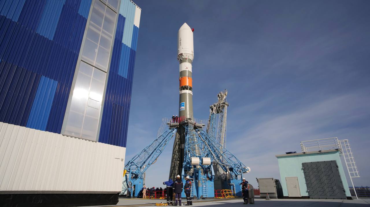
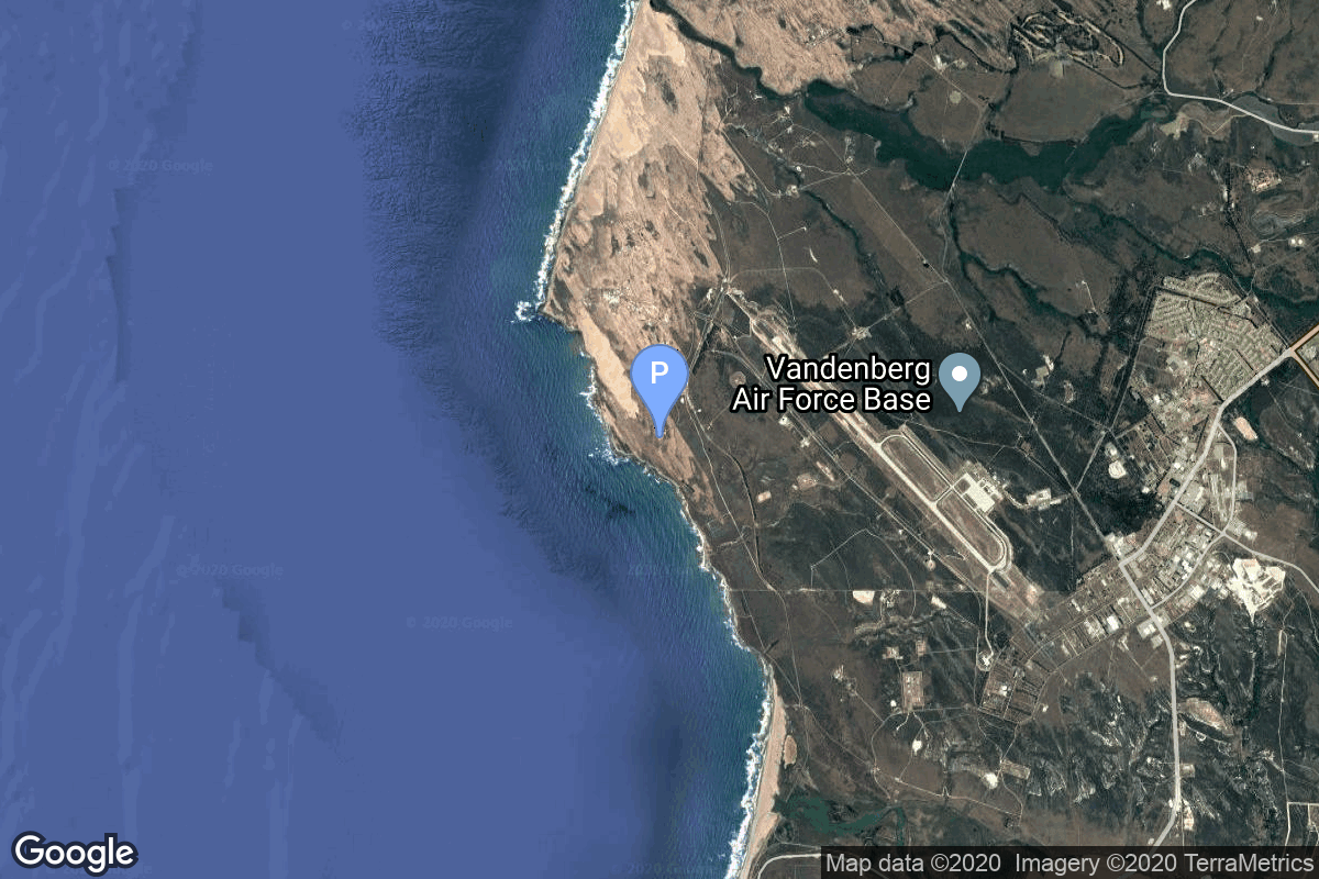
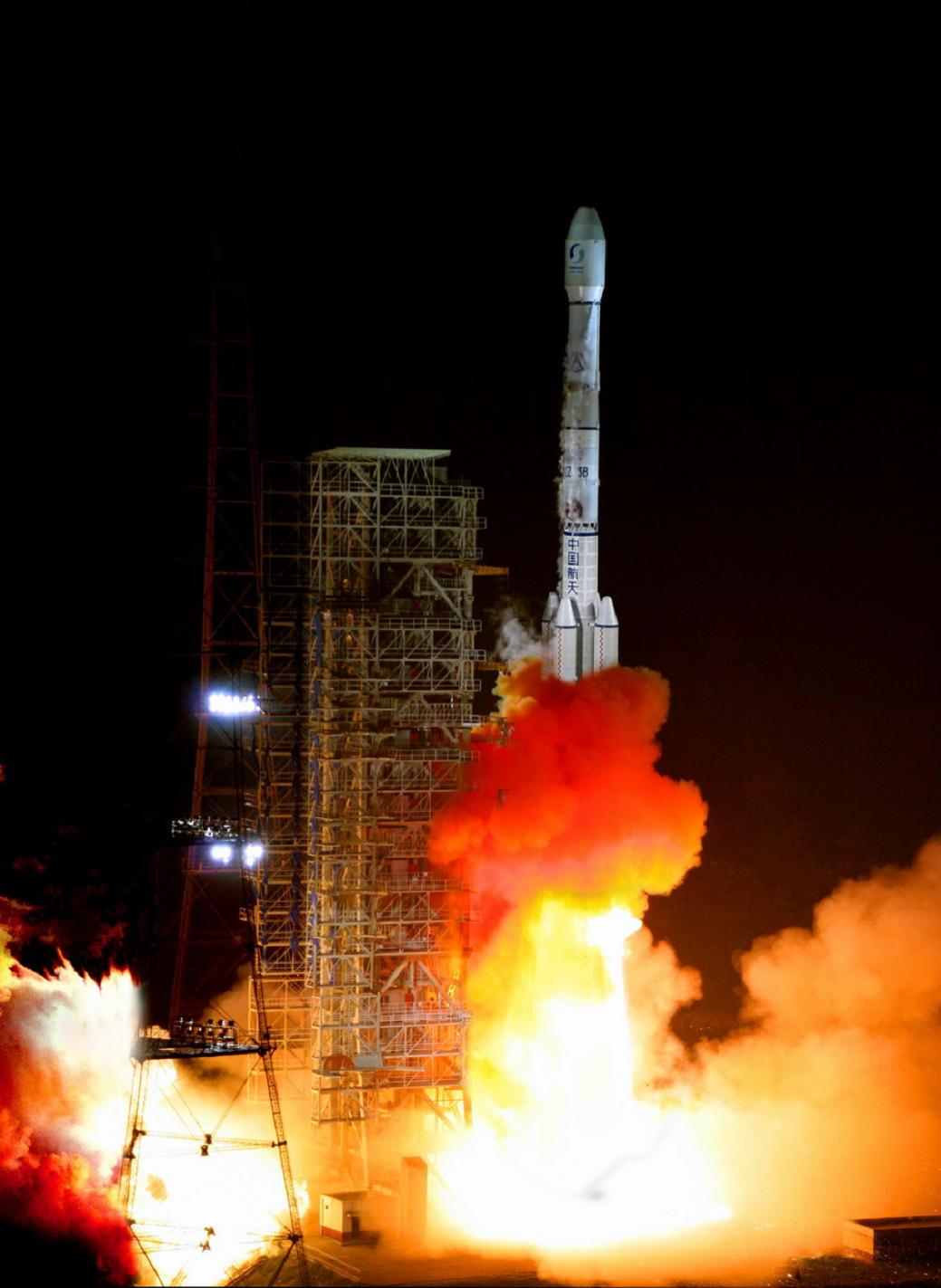
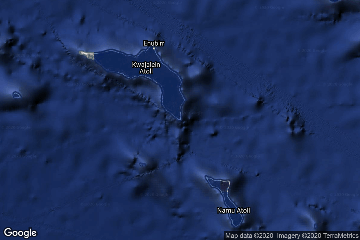
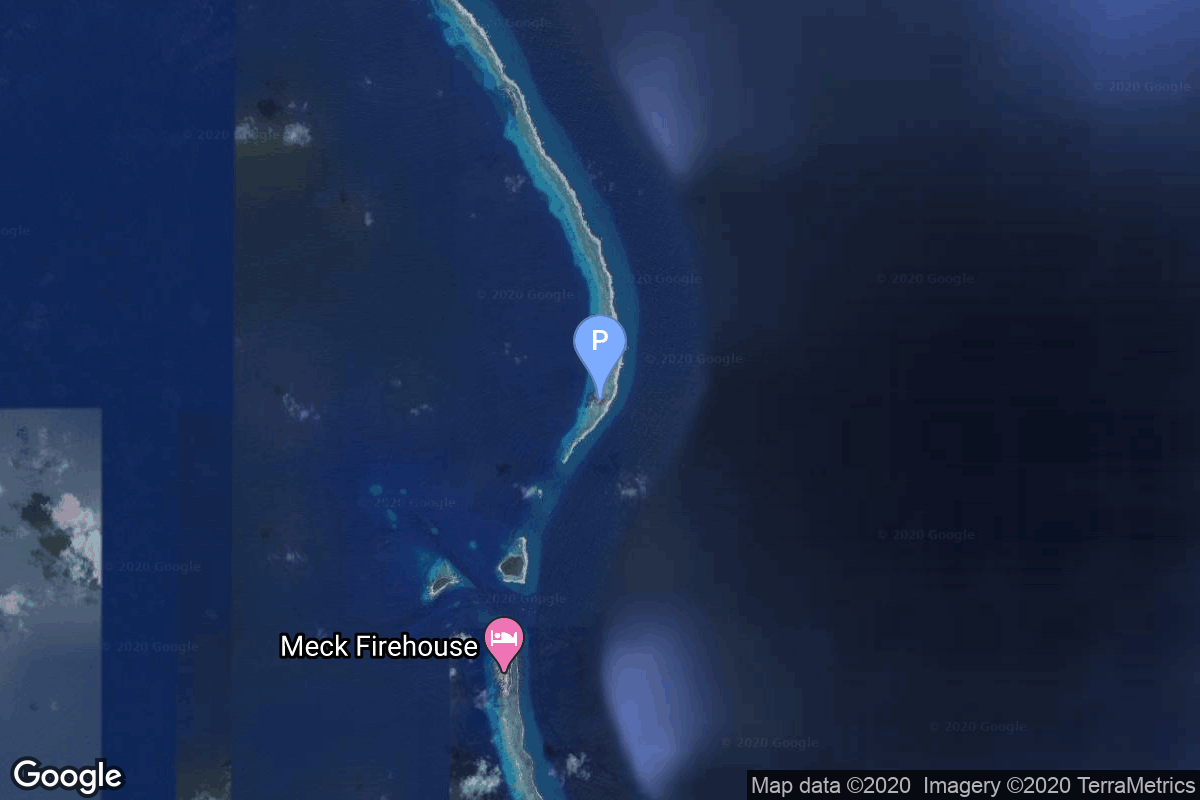
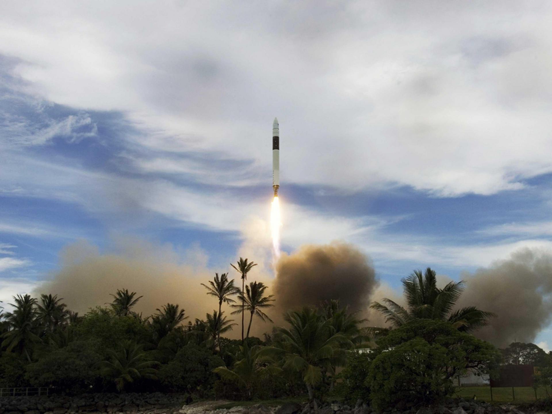
{ "count": 7500, "next": "https://ll.thespacedevs.com/2.0.0/launch/?format=api&limit=10&offset=490&ordering=id", "previous": "https://ll.thespacedevs.com/2.0.0/launch/?format=api&limit=10&offset=470&ordering=id", "results": [ { "id": "107fb32b-7f28-4560-af33-2790bc4118e8", "url": "https://ll.thespacedevs.com/2.0.0/launch/107fb32b-7f28-4560-af33-2790bc4118e8/?format=api", "launch_library_id": 1687, "slug": "soyuz-21bfregat-m-gonets-m30-gonets-m31-gonets-m32", "name": "Soyuz 2.1b/Fregat-M | Gonets-M30, Gonets-M31, Gonets-M32", "status": { "id": 3, "name": "Success" }, "net": "2020-12-03T01:14:36Z", "window_end": "2020-12-03T01:14:36Z", "window_start": "2020-12-03T01:14:36Z", "inhold": false, "tbdtime": false, "tbddate": false, "probability": -1, "holdreason": "", "failreason": "", "hashtag": null, "launch_service_provider": { "id": 193, "url": "https://ll.thespacedevs.com/2.0.0/agencies/193/?format=api", "name": "Russian Space Forces", "type": "Government" }, "rocket": { "id": 2214, "configuration": { "id": 134, "launch_library_id": 153, "url": "https://ll.thespacedevs.com/2.0.0/config/launcher/134/?format=api", "name": "Soyuz 2.1b/Fregat-M", "family": "Soyuz", "full_name": "Soyuz 2.1b Fregat-M", "variant": "Fregat-M" } }, "mission": { "id": 1205, "launch_library_id": null, "name": "Gonets-M30, Gonets-M31, Gonets-M32", "description": "Gonets-M are an upgraded version of Gonets satellites, derived from military communications system Strela-3. Gonets-M constellation is tasked with monitoring ecological and industrial objects, providing communication and data transmission services, covering also the remote areas like the Far North region.", "launch_designator": null, "type": "Communications", "orbit": { "id": 8, "name": "Low Earth Orbit", "abbrev": "LEO" } }, "pad": { "id": 36, "url": "https://ll.thespacedevs.com/2.0.0/pad/36/?format=api", "agency_id": 163, "name": "43/3 (43L)", "info_url": null, "wiki_url": null, "map_url": "https://www.google.com/maps?q=62.9273,40.45", "latitude": "62.9273", "longitude": "40.45", "location": { "id": 6, "url": "https://ll.thespacedevs.com/2.0.0/location/6/?format=api", "name": "Plesetsk Cosmodrome, Russian Federation", "country_code": "RUS", "map_image": "https://thespacedevs-prod.nyc3.digitaloceanspaces.com/media/map_images/location_6_20200803142434.jpg", "total_launch_count": 1674, "total_landing_count": 0 }, "map_image": "https://thespacedevs-prod.nyc3.digitaloceanspaces.com/media/map_images/pad_36_20200803143534.jpg", "total_launch_count": 230 }, "webcast_live": false, "image": "https://thespacedevs-prod.nyc3.digitaloceanspaces.com/media/images/soyuz_2.1b_image_20230802085331.jpg", "infographic": null, "program": [] }, { "id": "10841065-8861-47ba-8c55-228c15672792", "url": "https://ll.thespacedevs.com/2.0.0/launch/10841065-8861-47ba-8c55-228c15672792/?format=api", "launch_library_id": null, "slug": "taurus-1110-mti", "name": "Taurus 1110 | MTI", "status": { "id": 3, "name": "Success" }, "net": "2000-03-12T09:29:00Z", "window_end": "2000-03-12T09:29:00Z", "window_start": "2000-03-12T09:29:00Z", "inhold": false, "tbdtime": false, "tbddate": false, "probability": null, "holdreason": "", "failreason": null, "hashtag": null, "launch_service_provider": { "id": 100, "url": "https://ll.thespacedevs.com/2.0.0/agencies/100/?format=api", "name": "Orbital Sciences Corporation", "type": "Commercial" }, "rocket": { "id": 6976, "configuration": { "id": 383, "launch_library_id": null, "url": "https://ll.thespacedevs.com/2.0.0/config/launcher/383/?format=api", "name": "Minotaur-C 1110", "family": "Minotaur", "full_name": "Minotaur-C 1110", "variant": "1110" } }, "mission": { "id": 5365, "launch_library_id": null, "name": "MTI", "description": "The primary objective of MTI (Multispectral Thermal Imager) was to demonstrate advanced multispectral and thermal imaging, image processing, and associated technologies that could be used in future systems for detecting and characterizing facilities producing weapons of mass destruction using radiometrically accurate, high spatial resolution, multispectral imaging.", "launch_designator": null, "type": "Earth Science", "orbit": { "id": 13, "name": "Polar Orbit", "abbrev": "PO" } }, "pad": { "id": 55, "url": "https://ll.thespacedevs.com/2.0.0/pad/55/?format=api", "agency_id": 161, "name": "Space Launch Complex 576E", "info_url": null, "wiki_url": "https://en.wikipedia.org/wiki/Vandenberg_Launch_Complex_576", "map_url": "https://www.google.com/maps?q=34.739444,-120.619167", "latitude": "34.739444", "longitude": "-120.619167", "location": { "id": 11, "url": "https://ll.thespacedevs.com/2.0.0/location/11/?format=api", "name": "Vandenberg SFB, CA, USA", "country_code": "USA", "map_image": "https://thespacedevs-prod.nyc3.digitaloceanspaces.com/media/map_images/location_11_20200803142416.jpg", "total_launch_count": 806, "total_landing_count": 26 }, "map_image": "https://thespacedevs-prod.nyc3.digitaloceanspaces.com/media/map_images/pad_55_20200803143429.jpg", "total_launch_count": 9 }, "webcast_live": false, "image": null, "infographic": null, "program": [] }, { "id": "1090911e-0d21-4e56-a043-7986b51dcf28", "url": "https://ll.thespacedevs.com/2.0.0/launch/1090911e-0d21-4e56-a043-7986b51dcf28/?format=api", "launch_library_id": null, "slug": "molniya-m-molniya-3-61l", "name": "Molniya-M | Molniya-3 61L", "status": { "id": 3, "name": "Success" }, "net": "1998-07-01T00:48:01Z", "window_end": "1998-07-01T00:48:01Z", "window_start": "1998-07-01T00:48:01Z", "inhold": false, "tbdtime": false, "tbddate": false, "probability": null, "holdreason": "", "failreason": null, "hashtag": null, "launch_service_provider": { "id": 111, "url": "https://ll.thespacedevs.com/2.0.0/agencies/111/?format=api", "name": "Progress Rocket Space Center", "type": "Commercial" }, "rocket": { "id": 6864, "configuration": { "id": 106, "launch_library_id": 126, "url": "https://ll.thespacedevs.com/2.0.0/config/launcher/106/?format=api", "name": "Molniya-M", "family": "R-7", "full_name": "Molniya-M 2BL", "variant": "2BL" } }, "mission": { "id": 5254, "launch_library_id": null, "name": "Molniya-3 61L", "description": "Molniya communication satellites operating from a highly elliptical orbit", "launch_designator": null, "type": "Communications", "orbit": { "id": 0, "name": "Elliptical Orbit", "abbrev": "Elliptical" } }, "pad": { "id": 36, "url": "https://ll.thespacedevs.com/2.0.0/pad/36/?format=api", "agency_id": 163, "name": "43/3 (43L)", "info_url": null, "wiki_url": null, "map_url": "https://www.google.com/maps?q=62.9273,40.45", "latitude": "62.9273", "longitude": "40.45", "location": { "id": 6, "url": "https://ll.thespacedevs.com/2.0.0/location/6/?format=api", "name": "Plesetsk Cosmodrome, Russian Federation", "country_code": "RUS", "map_image": "https://thespacedevs-prod.nyc3.digitaloceanspaces.com/media/map_images/location_6_20200803142434.jpg", "total_launch_count": 1674, "total_landing_count": 0 }, "map_image": "https://thespacedevs-prod.nyc3.digitaloceanspaces.com/media/map_images/pad_36_20200803143534.jpg", "total_launch_count": 230 }, "webcast_live": false, "image": null, "infographic": null, "program": [] }, { "id": "109eff3f-b73f-4d83-900c-cb3fb9d9f68c", "url": "https://ll.thespacedevs.com/2.0.0/launch/109eff3f-b73f-4d83-900c-cb3fb9d9f68c/?format=api", "launch_library_id": null, "slug": "soyuz-11a511l-t2k-1", "name": "Soyuz 11A511L | T2K 1", "status": { "id": 3, "name": "Success" }, "net": "1970-11-24T05:15:01Z", "window_end": "1970-11-24T05:15:01Z", "window_start": "1970-11-24T05:15:01Z", "inhold": false, "tbdtime": false, "tbddate": false, "probability": null, "holdreason": "", "failreason": null, "hashtag": null, "launch_service_provider": { "id": 66, "url": "https://ll.thespacedevs.com/2.0.0/agencies/66/?format=api", "name": "Soviet Space Program", "type": "Government" }, "rocket": { "id": 4074, "configuration": { "id": 375, "launch_library_id": null, "url": "https://ll.thespacedevs.com/2.0.0/config/launcher/375/?format=api", "name": "Soyuz 11A511L", "family": "Soyuz", "full_name": "Soyuz 11A511L", "variant": "11A511L" } }, "mission": { "id": 2492, "launch_library_id": null, "name": "T2K 1", "description": "Uncrewed lunar lander prototype without landing legs.", "launch_designator": null, "type": "Lunar Exploration", "orbit": { "id": 8, "name": "Low Earth Orbit", "abbrev": "LEO" } }, "pad": { "id": 20, "url": "https://ll.thespacedevs.com/2.0.0/pad/20/?format=api", "agency_id": null, "name": "31/6", "info_url": null, "wiki_url": "https://en.wikipedia.org/wiki/Baikonur_Cosmodrome_Site_31", "map_url": "https://www.google.com/maps?q=45.996034,63.564003", "latitude": "45.996034", "longitude": "63.564003", "location": { "id": 15, "url": "https://ll.thespacedevs.com/2.0.0/location/15/?format=api", "name": "Baikonur Cosmodrome, Republic of Kazakhstan", "country_code": "KAZ", "map_image": "https://thespacedevs-prod.nyc3.digitaloceanspaces.com/media/map_images/location_15_20200803142517.jpg", "total_launch_count": 1555, "total_landing_count": 0 }, "map_image": "https://thespacedevs-prod.nyc3.digitaloceanspaces.com/media/map_images/pad_20_20200803143516.jpg", "total_launch_count": 422 }, "webcast_live": false, "image": null, "infographic": null, "program": [] }, { "id": "10a09b81-cdbb-4037-8fae-e484f44dcdbb", "url": "https://ll.thespacedevs.com/2.0.0/launch/10a09b81-cdbb-4037-8fae-e484f44dcdbb/?format=api", "launch_library_id": null, "slug": "soyuz-u-zenit-8-45", "name": "Soyuz U | Zenit-8 45", "status": { "id": 3, "name": "Success" }, "net": "1987-03-11T10:25:00Z", "window_end": "1987-03-11T10:25:00Z", "window_start": "1987-03-11T10:25:00Z", "inhold": false, "tbdtime": false, "tbddate": false, "probability": null, "holdreason": "", "failreason": null, "hashtag": null, "launch_service_provider": { "id": 66, "url": "https://ll.thespacedevs.com/2.0.0/agencies/66/?format=api", "name": "Soviet Space Program", "type": "Government" }, "rocket": { "id": 5947, "configuration": { "id": 37, "launch_library_id": 35, "url": "https://ll.thespacedevs.com/2.0.0/config/launcher/37/?format=api", "name": "Soyuz U", "family": "Soyuz", "full_name": "Soyuz U", "variant": "" } }, "mission": { "id": 4342, "launch_library_id": null, "name": "Zenit-8 45", "description": "Film-return reconnaissance satellite", "launch_designator": null, "type": "Government/Top Secret", "orbit": { "id": 8, "name": "Low Earth Orbit", "abbrev": "LEO" } }, "pad": { "id": 35, "url": "https://ll.thespacedevs.com/2.0.0/pad/35/?format=api", "agency_id": 163, "name": "16/2", "info_url": null, "wiki_url": "", "map_url": "https://www.google.com/maps?q=62.960091,40.682983", "latitude": "62.960091", "longitude": "40.682983", "location": { "id": 6, "url": "https://ll.thespacedevs.com/2.0.0/location/6/?format=api", "name": "Plesetsk Cosmodrome, Russian Federation", "country_code": "RUS", "map_image": "https://thespacedevs-prod.nyc3.digitaloceanspaces.com/media/map_images/location_6_20200803142434.jpg", "total_launch_count": 1674, "total_landing_count": 0 }, "map_image": "https://thespacedevs-prod.nyc3.digitaloceanspaces.com/media/map_images/pad_35_20200803143306.jpg", "total_launch_count": 136 }, "webcast_live": false, "image": "https://thespacedevs-prod.nyc3.digitaloceanspaces.com/media/images/soyuz2520u_image_20190222031023.jpeg", "infographic": null, "program": [] }, { "id": "10a10c8f-761f-48af-a4ea-dc736bb7a88d", "url": "https://ll.thespacedevs.com/2.0.0/launch/10a10c8f-761f-48af-a4ea-dc736bb7a88d/?format=api", "launch_library_id": null, "slug": "delta-6925-gps-2-8", "name": "Delta 6925 | GPS-2 8", "status": { "id": 3, "name": "Success" }, "net": "1990-08-02T05:39:00Z", "window_end": "1990-08-02T05:39:00Z", "window_start": "1990-08-02T05:39:00Z", "inhold": false, "tbdtime": false, "tbddate": false, "probability": null, "holdreason": "", "failreason": "", "hashtag": null, "launch_service_provider": { "id": 161, "url": "https://ll.thespacedevs.com/2.0.0/agencies/161/?format=api", "name": "United States Air Force", "type": "Government" }, "rocket": { "id": 6294, "configuration": { "id": 300, "launch_library_id": null, "url": "https://ll.thespacedevs.com/2.0.0/config/launcher/300/?format=api", "name": "Delta II", "family": "Delta", "full_name": "Delta II 6925", "variant": "6925" } }, "mission": { "id": 4684, "launch_library_id": null, "name": "GPS-2 8", "description": "Second generation GPS navigation satellite", "launch_designator": null, "type": "Navigation", "orbit": { "id": 12, "name": "Medium Earth Orbit", "abbrev": "MEO" } }, "pad": { "id": 14, "url": "https://ll.thespacedevs.com/2.0.0/pad/14/?format=api", "agency_id": null, "name": "Space Launch Complex 17A", "info_url": null, "wiki_url": "https://en.wikipedia.org/wiki/Cape_Canaveral_Space_Launch_Complex_17", "map_url": "https://www.google.com/maps?q=28.4472,-80.565", "latitude": "28.4472", "longitude": "-80.565", "location": { "id": 12, "url": "https://ll.thespacedevs.com/2.0.0/location/12/?format=api", "name": "Cape Canaveral SFS, FL, USA", "country_code": "USA", "map_image": "https://thespacedevs-prod.nyc3.digitaloceanspaces.com/media/map_images/location_12_20200803142519.jpg", "total_launch_count": 1023, "total_landing_count": 64 }, "map_image": "https://thespacedevs-prod.nyc3.digitaloceanspaces.com/media/map_images/pad_14_20200803143451.jpg", "total_launch_count": 145 }, "webcast_live": false, "image": null, "infographic": null, "program": [ { "id": 29, "url": "https://ll.thespacedevs.com/2.0.0/program/29/?format=api", "name": "Global Positioning System", "description": "The Global Positioning System (GPS), originally Navstar GPS, is a satellite-based radio navigation system owned by the United States government and operated by the United States Space Force. It is one of the global navigation satellite systems (GNSS) that provide geolocation and time information to a GPS receiver anywhere on or near the Earth where there is an unobstructed line of sight to four or more GPS satellites.", "agencies": [ { "id": 1041, "url": "https://ll.thespacedevs.com/2.0.0/agencies/1041/?format=api", "name": "United States Space Force", "type": "Government" } ], "image_url": "https://thespacedevs-prod.nyc3.digitaloceanspaces.com/media/images/global2520posi_program_20231229182501.png", "start_date": "1978-02-22T00:00:00Z", "end_date": null, "info_url": "https://www.gps.gov/", "wiki_url": "https://en.wikipedia.org/wiki/Global_Positioning_System" } ] }, { "id": "10a3291d-c2ee-404a-8d75-f8b3837177cf", "url": "https://ll.thespacedevs.com/2.0.0/launch/10a3291d-c2ee-404a-8d75-f8b3837177cf/?format=api", "launch_library_id": 2045, "slug": "long-march-3b-beidou-3-g3", "name": "Long March 3B | Beidou-3 G3", "status": { "id": 3, "name": "Success" }, "net": "2020-06-23T01:43:04Z", "window_end": "2020-06-23T02:31:00Z", "window_start": "2020-06-23T01:36:00Z", "inhold": false, "tbdtime": false, "tbddate": false, "probability": -1, "holdreason": "", "failreason": null, "hashtag": null, "launch_service_provider": { "id": 88, "url": "https://ll.thespacedevs.com/2.0.0/agencies/88/?format=api", "name": "China Aerospace Science and Technology Corporation", "type": "Government" }, "rocket": { "id": 2681, "configuration": { "id": 19, "launch_library_id": 22, "url": "https://ll.thespacedevs.com/2.0.0/config/launcher/19/?format=api", "name": "Long March 3", "family": "Long March", "full_name": "Long March 3B", "variant": "3B" } }, "mission": { "id": 1097, "launch_library_id": 1289, "name": "Beidou-3 G3", "description": "This satellite is a part of the geostationary component of the 3rd phase of the Chinese Beidou (Compass) satellite navigation system. It features a phased array antenna for navigation signals and a laser retroreflector and additionally deployable S/L-band and C-band antennas.", "launch_designator": null, "type": "Navigation", "orbit": { "id": 2, "name": "Geostationary Transfer Orbit", "abbrev": "GTO" } }, "pad": { "id": 45, "url": "https://ll.thespacedevs.com/2.0.0/pad/45/?format=api", "agency_id": null, "name": "Launch Complex 2 (LC-2)", "info_url": null, "wiki_url": "https://en.wikipedia.org/wiki/Xichang_Satellite_Launch_Center", "map_url": "https://www.google.com/maps?q=28.245564,102.026751", "latitude": "28.245564", "longitude": "102.026751", "location": { "id": 16, "url": "https://ll.thespacedevs.com/2.0.0/location/16/?format=api", "name": "Xichang Satellite Launch Center, People's Republic of China", "country_code": "CHN", "map_image": "https://thespacedevs-prod.nyc3.digitaloceanspaces.com/media/map_images/location_16_20200803142513.jpg", "total_launch_count": 225, "total_landing_count": 0 }, "map_image": "https://thespacedevs-prod.nyc3.digitaloceanspaces.com/media/map_images/pad_45_20200803143520.jpg", "total_launch_count": 118 }, "webcast_live": false, "image": "https://thespacedevs-prod.nyc3.digitaloceanspaces.com/media/images/long2520march25203_image_20200102181012.jpg", "infographic": null, "program": [ { "id": 35, "url": "https://ll.thespacedevs.com/2.0.0/program/35/?format=api", "name": "BeiDou", "description": "The BeiDou Navigation Satellite System is a satellite-based radio navigation system owned and operated by the China National Space Administration.[4] It is one of the global navigation satellite systems that provide geolocation and time information to a BDS receiver anywhere on or near the Earth where there is an unobstructed line of sight to four or more BDS satellites.", "agencies": [ { "id": 17, "url": "https://ll.thespacedevs.com/2.0.0/agencies/17/?format=api", "name": "China National Space Administration", "type": "Government" } ], "image_url": "https://thespacedevs-prod.nyc3.digitaloceanspaces.com/media/images/beidou_program_20240102170615.png", "start_date": "2000-10-31T00:00:00Z", "end_date": null, "info_url": "http://en.beidou.gov.cn/", "wiki_url": "https://en.wikipedia.org/wiki/BeiDou" } ] }, { "id": "10be093a-ad74-46e6-a26c-37626e6d72b7", "url": "https://ll.thespacedevs.com/2.0.0/launch/10be093a-ad74-46e6-a26c-37626e6d72b7/?format=api", "launch_library_id": 1302, "slug": "falcon-1-razaksat", "name": "Falcon 1 | RazakSAT", "status": { "id": 3, "name": "Success" }, "net": "2009-07-14T03:36:00Z", "window_end": "2009-07-14T03:36:00Z", "window_start": "2009-07-14T03:36:00Z", "inhold": false, "tbdtime": false, "tbddate": false, "probability": null, "holdreason": "", "failreason": "", "hashtag": null, "launch_service_provider": { "id": 121, "url": "https://ll.thespacedevs.com/2.0.0/agencies/121/?format=api", "name": "SpaceX", "type": "Commercial" }, "rocket": { "id": 1421, "configuration": { "id": 133, "launch_library_id": 160, "url": "https://ll.thespacedevs.com/2.0.0/config/launcher/133/?format=api", "name": "Falcon 1", "family": "Falcon", "full_name": "Falcon 1", "variant": "1" } }, "mission": { "id": 6462, "launch_library_id": null, "name": "RazakSAT", "description": "RazakSAT is a Malaysian Earth observation satellite carrying a high-resolution camera. It was the first and only operational satellite to be put in orbit by SpaceX's Falcon 1.", "launch_designator": null, "type": "Earth Science", "orbit": { "id": 8, "name": "Low Earth Orbit", "abbrev": "LEO" } }, "pad": { "id": 107, "url": "https://ll.thespacedevs.com/2.0.0/pad/107/?format=api", "agency_id": null, "name": "Omelek Island", "info_url": null, "wiki_url": "https://en.wikipedia.org/wiki/Omelek_Island", "map_url": "https://www.google.com/maps?q=9.047861,167.743", "latitude": "9.047861", "longitude": "167.743", "location": { "id": 142, "url": "https://ll.thespacedevs.com/2.0.0/location/142/?format=api", "name": "Ronald Reagan Ballistic Missile Defense Test Site, Kwajalein Atoll, Marshall Islands", "country_code": "MHL", "map_image": "https://thespacedevs-prod.nyc3.digitaloceanspaces.com/media/map_images/location_142_20200803142511.jpg", "total_launch_count": 5, "total_landing_count": 0 }, "map_image": "https://thespacedevs-prod.nyc3.digitaloceanspaces.com/media/map_images/pad_107_20200803143450.jpg", "total_launch_count": 5 }, "webcast_live": false, "image": "https://thespacedevs-prod.nyc3.digitaloceanspaces.com/media/images/falcon_image_20190222030438.jpeg", "infographic": null, "program": [] }, { "id": "10c3be88-da49-41b9-967d-e5a002952719", "url": "https://ll.thespacedevs.com/2.0.0/launch/10c3be88-da49-41b9-967d-e5a002952719/?format=api", "launch_library_id": null, "slug": "soyuz-u-zenit-6u-22", "name": "Soyuz U | Zenit-6U 22", "status": { "id": 3, "name": "Success" }, "net": "1980-07-09T12:40:00Z", "window_end": "1980-07-09T12:40:00Z", "window_start": "1980-07-09T12:40:00Z", "inhold": false, "tbdtime": false, "tbddate": false, "probability": null, "holdreason": "", "failreason": null, "hashtag": null, "launch_service_provider": { "id": 66, "url": "https://ll.thespacedevs.com/2.0.0/agencies/66/?format=api", "name": "Soviet Space Program", "type": "Government" }, "rocket": { "id": 5190, "configuration": { "id": 37, "launch_library_id": 35, "url": "https://ll.thespacedevs.com/2.0.0/config/launcher/37/?format=api", "name": "Soyuz U", "family": "Soyuz", "full_name": "Soyuz U", "variant": "" } }, "mission": { "id": 3601, "launch_library_id": null, "name": "Zenit-6U 22", "description": "Optical film-return reconnaissance satellite", "launch_designator": null, "type": "Government/Top Secret", "orbit": { "id": 8, "name": "Low Earth Orbit", "abbrev": "LEO" } }, "pad": { "id": 168, "url": "https://ll.thespacedevs.com/2.0.0/pad/168/?format=api", "agency_id": null, "name": "41/1", "info_url": null, "wiki_url": "https://en.wikipedia.org/wiki/Plesetsk_Cosmodrome", "map_url": "https://www.google.com/maps?q=62.941,40.526806", "latitude": "62.941", "longitude": "40.526806", "location": { "id": 6, "url": "https://ll.thespacedevs.com/2.0.0/location/6/?format=api", "name": "Plesetsk Cosmodrome, Russian Federation", "country_code": "RUS", "map_image": "https://thespacedevs-prod.nyc3.digitaloceanspaces.com/media/map_images/location_6_20200803142434.jpg", "total_launch_count": 1674, "total_landing_count": 0 }, "map_image": "https://thespacedevs-prod.nyc3.digitaloceanspaces.com/media/map_images/pad_168_20200803143446.jpg", "total_launch_count": 310 }, "webcast_live": false, "image": "https://thespacedevs-prod.nyc3.digitaloceanspaces.com/media/images/soyuz2520u_image_20190222031023.jpeg", "infographic": null, "program": [] }, { "id": "10c5e23d-33f1-4a38-8d7f-dfc36bd331b6", "url": "https://ll.thespacedevs.com/2.0.0/launch/10c5e23d-33f1-4a38-8d7f-dfc36bd331b6/?format=api", "launch_library_id": null, "slug": "kosmos-3m-zaliv-gvm-2", "name": "Kosmos-3M | Zaliv-GVM 2", "status": { "id": 4, "name": "Failure" }, "net": "1967-09-27T11:00:00Z", "window_end": "1967-09-27T11:00:00Z", "window_start": "1967-09-27T11:00:00Z", "inhold": false, "tbdtime": false, "tbddate": false, "probability": null, "holdreason": "", "failreason": null, "hashtag": null, "launch_service_provider": { "id": 66, "url": "https://ll.thespacedevs.com/2.0.0/agencies/66/?format=api", "name": "Soviet Space Program", "type": "Government" }, "rocket": { "id": 3710, "configuration": { "id": 102, "launch_library_id": 122, "url": "https://ll.thespacedevs.com/2.0.0/config/launcher/102/?format=api", "name": "Kosmos-3M", "family": "Kosmos", "full_name": "Kosmos-3M (11K65M)", "variant": "-3M" } }, "mission": { "id": 2128, "launch_library_id": null, "name": "Zaliv-GVM 2", "description": "The Zaliv-GVM satellites were mass models of the Zaliv navigation satellites, which were launched as payload substitutes on some Kosmos-3M evaluation launches.", "launch_designator": null, "type": "Test Flight", "orbit": { "id": 8, "name": "Low Earth Orbit", "abbrev": "LEO" } }, "pad": { "id": 167, "url": "https://ll.thespacedevs.com/2.0.0/pad/167/?format=api", "agency_id": null, "name": "132/2", "info_url": null, "wiki_url": "https://en.wikipedia.org/wiki/Plesetsk_Cosmodrome", "map_url": "https://www.google.com/maps?q=62.883,40.869806", "latitude": "62.883", "longitude": "40.869806", "location": { "id": 6, "url": "https://ll.thespacedevs.com/2.0.0/location/6/?format=api", "name": "Plesetsk Cosmodrome, Russian Federation", "country_code": "RUS", "map_image": "https://thespacedevs-prod.nyc3.digitaloceanspaces.com/media/map_images/location_6_20200803142434.jpg", "total_launch_count": 1674, "total_landing_count": 0 }, "map_image": "https://thespacedevs-prod.nyc3.digitaloceanspaces.com/media/map_images/pad_167_20200803143417.jpg", "total_launch_count": 172 }, "webcast_live": false, "image": null, "infographic": null, "program": [] } ] }