Launch List
API endpoint that returns all Launch objects or a single launch.
EXAMPLE - /launch/
GET: Return a list of all Launch objects.
FILTERS: Fields - 'name', 'id(s)', 'lsp_id', 'lsp_name', 'serial_number', 'launcher_config__id', 'rocket__spacecraftflight__spacecraft__name'
MODE: 'normal', 'list', 'detailed' EXAMPLE: ?mode=list
SEARCH: Searches through the launch name, rocket name, launch agency, mission name & spacecraft name. EXAMPLE - ?search=SpaceX
GET /2.0.0/launch/?format=api&offset=400&ordering=-id
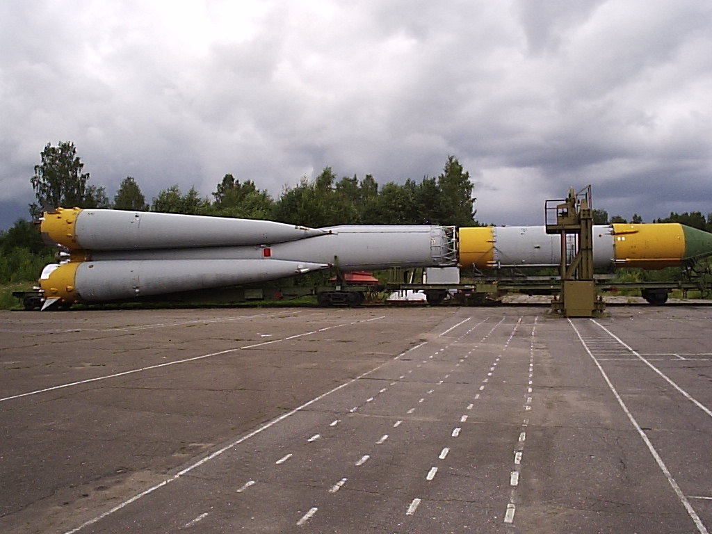
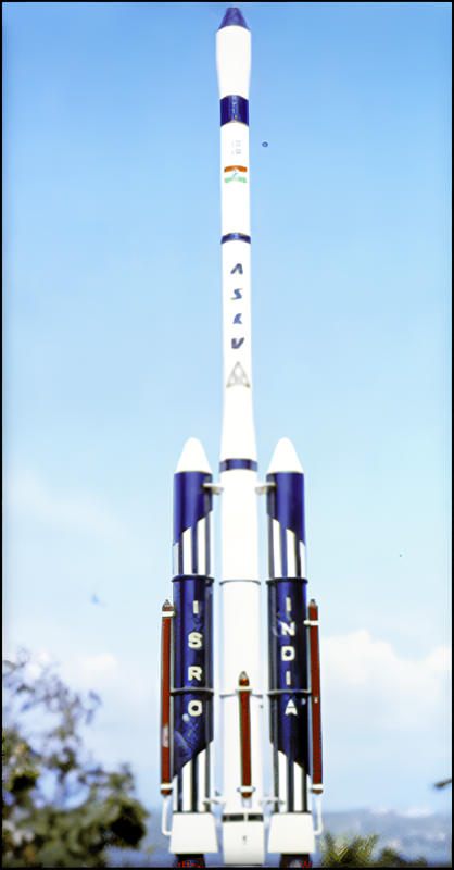
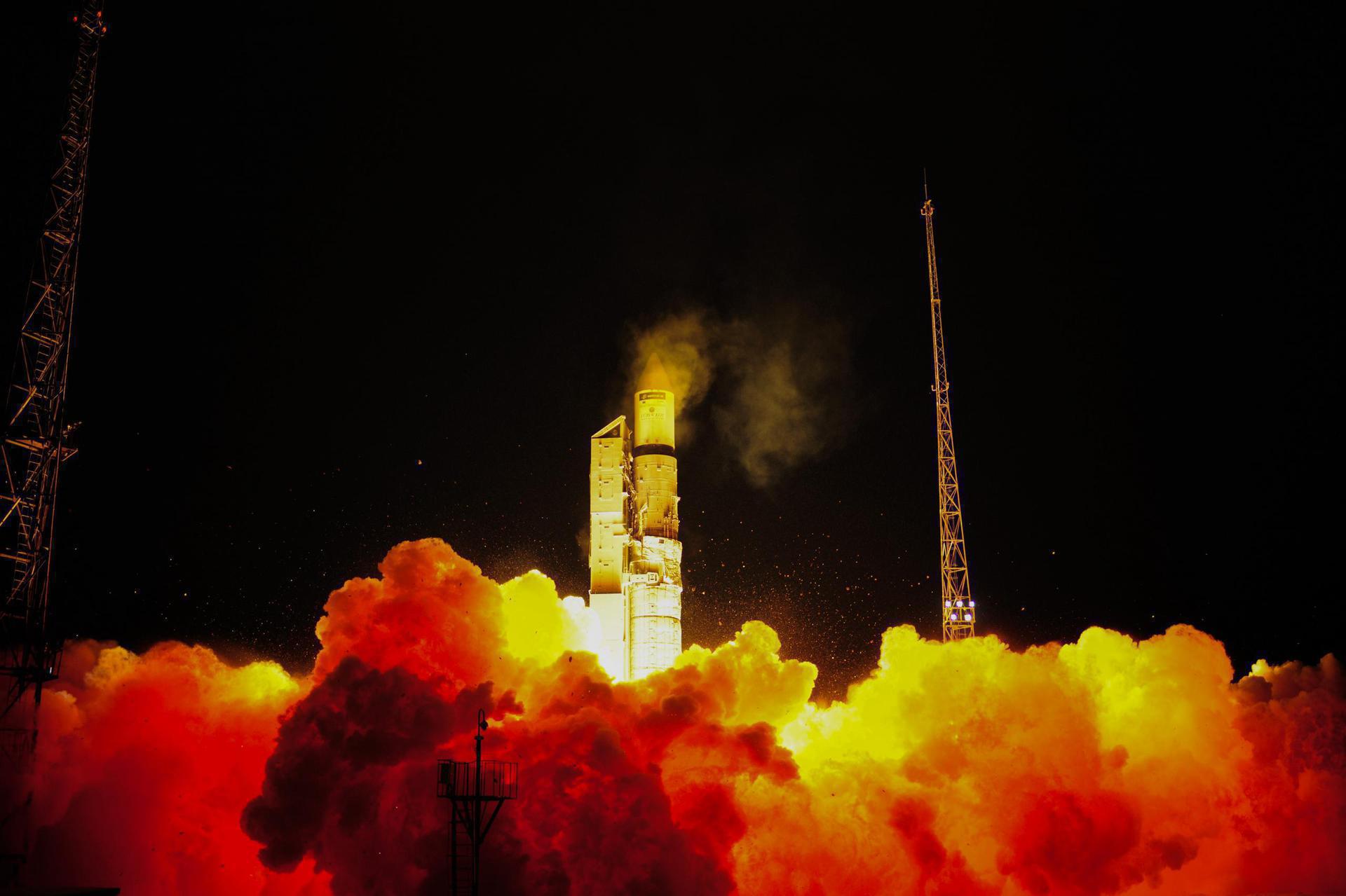
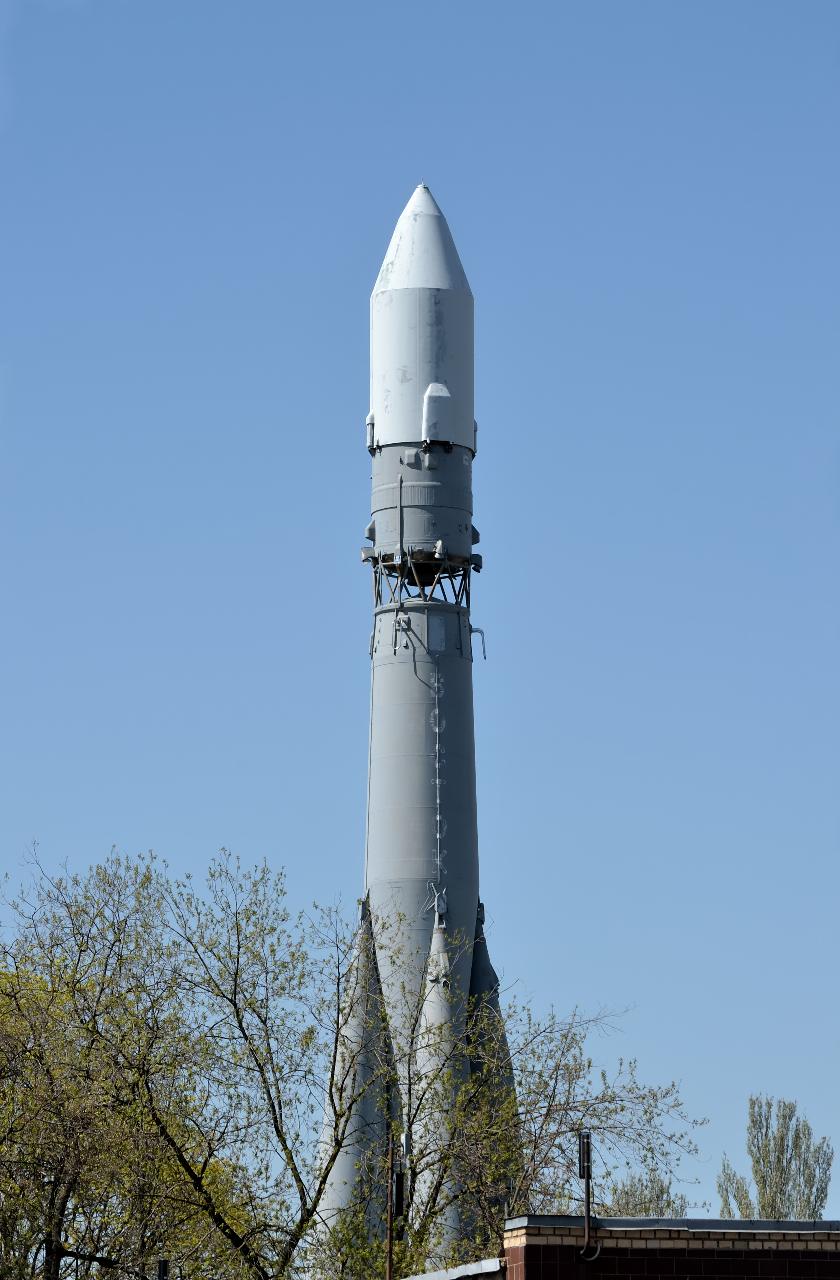
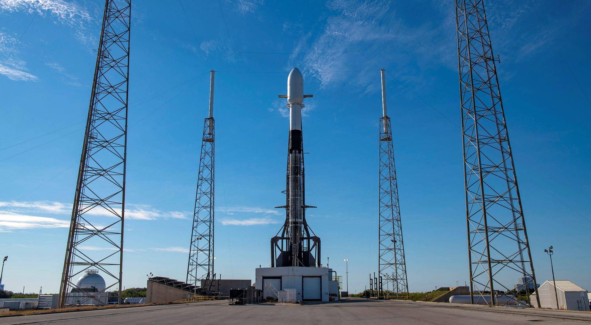
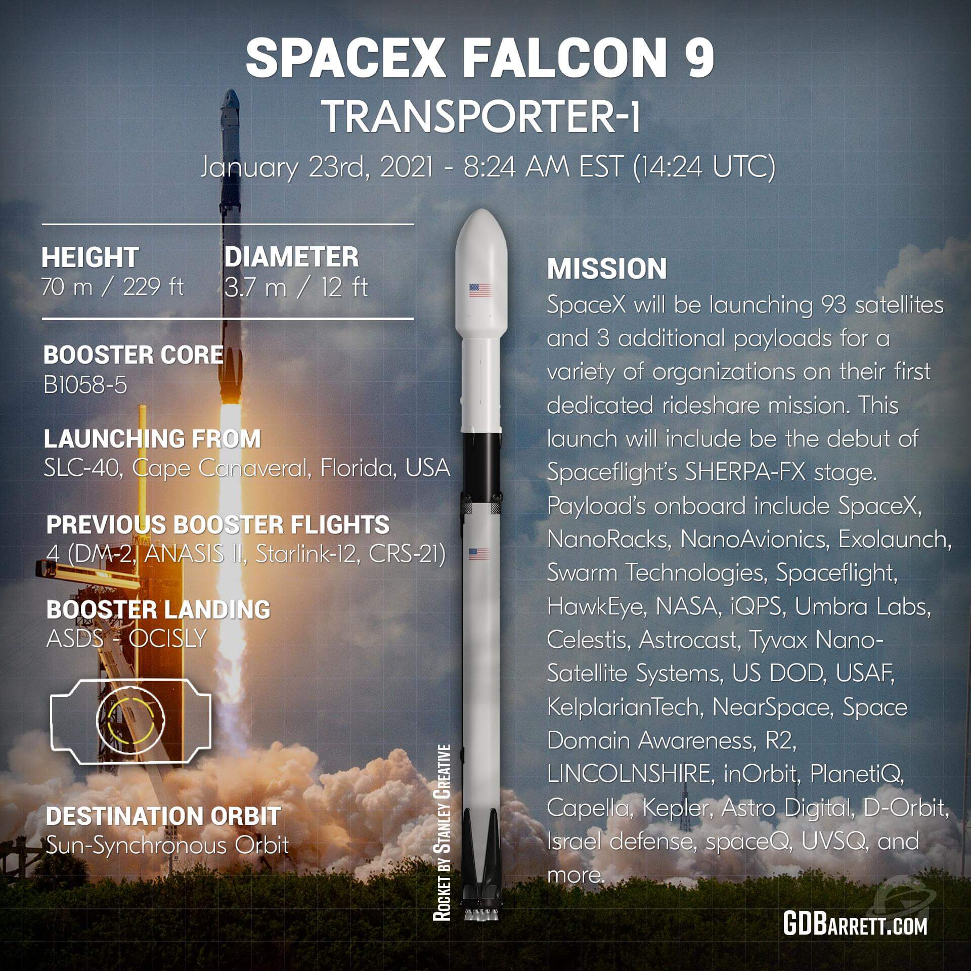
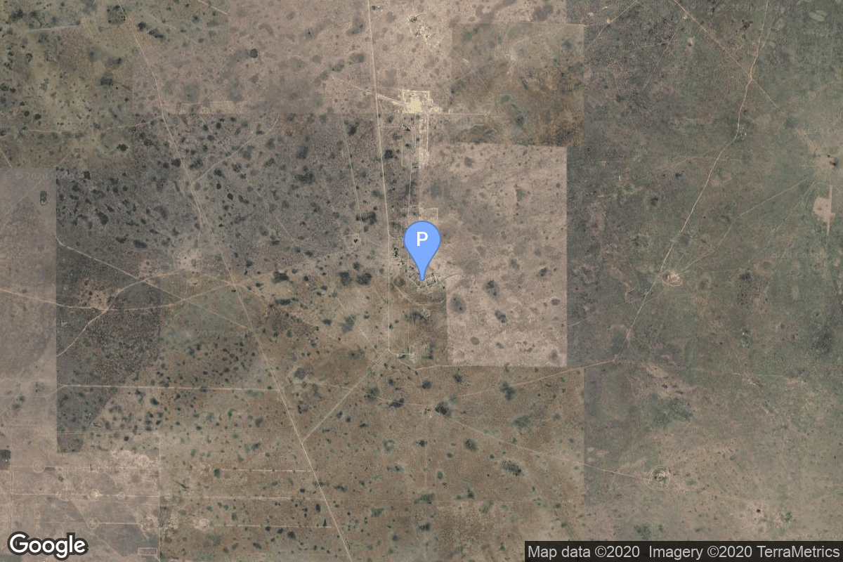
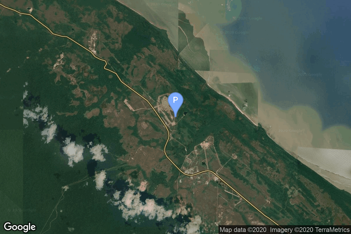
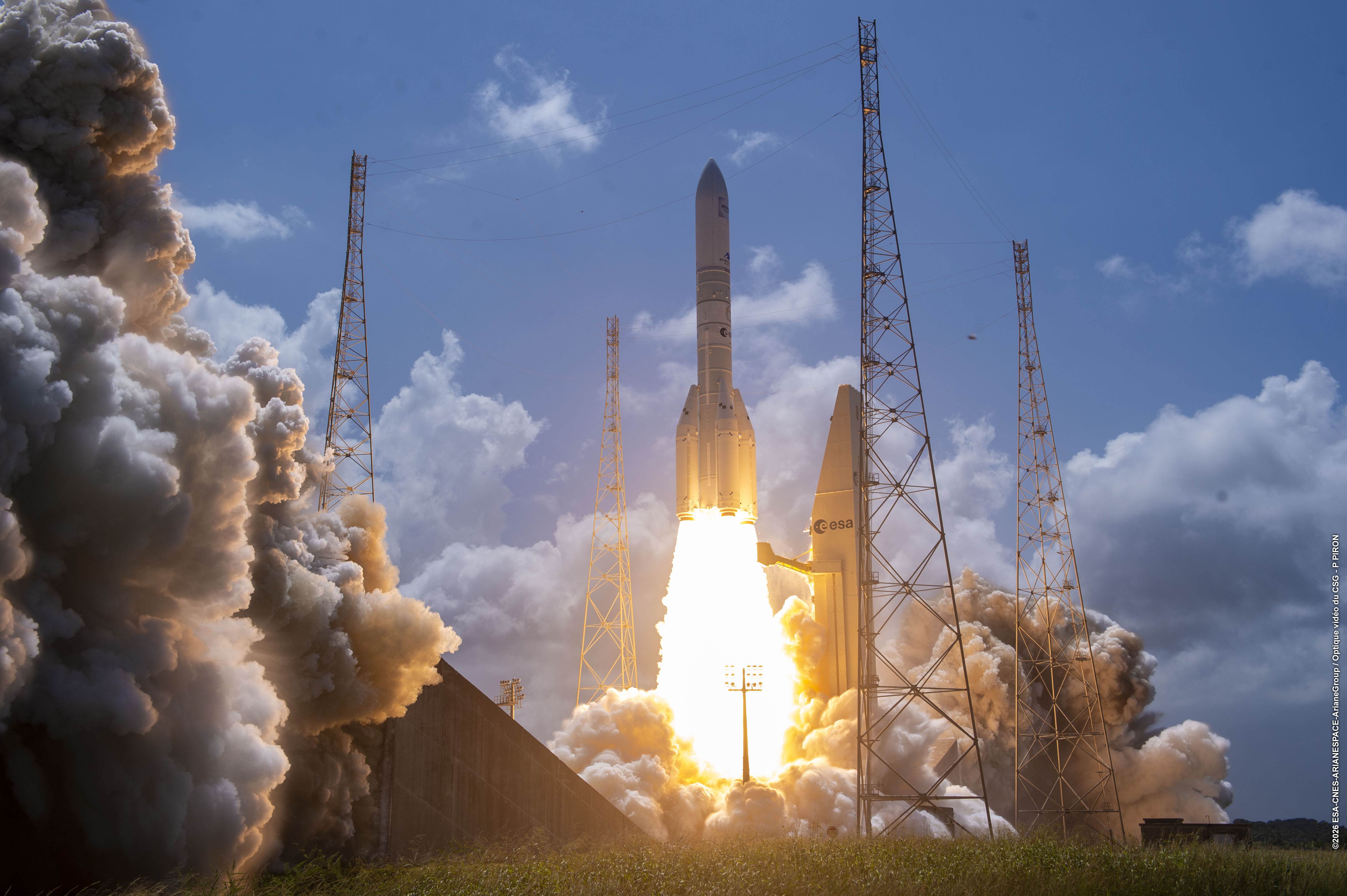
{ "count": 7875, "next": "https://ll.thespacedevs.com/2.0.0/launch/?format=api&limit=10&offset=410&ordering=-id", "previous": "https://ll.thespacedevs.com/2.0.0/launch/?format=api&limit=10&offset=390&ordering=-id", "results": [ { "id": "f2775d28-8dd8-4efc-87c6-b8d41372202b", "url": "https://ll.thespacedevs.com/2.0.0/launch/f2775d28-8dd8-4efc-87c6-b8d41372202b/?format=api", "launch_library_id": 1622, "slug": "vega-c-kompsat-7", "name": "Vega-C | KOMPSAT-7", "status": { "id": 3, "name": "Success" }, "net": "2025-12-01T17:21:25Z", "window_end": "2025-12-01T17:21:25Z", "window_start": "2025-12-01T17:21:25Z", "inhold": false, "tbdtime": false, "tbddate": false, "probability": null, "holdreason": "", "failreason": "", "hashtag": "VV28", "launch_service_provider": { "id": 115, "url": "https://ll.thespacedevs.com/2.0.0/agencies/115/?format=api", "name": "Arianespace", "type": "Commercial" }, "rocket": { "id": 182, "configuration": { "id": 127, "launch_library_id": 163, "url": "https://ll.thespacedevs.com/2.0.0/config/launcher/127/?format=api", "name": "Vega-C", "family": "Vega", "full_name": "Vega-C", "variant": "" } }, "mission": { "id": 691, "launch_library_id": 869, "name": "KOMPSAT-7", "description": "KOMPSAT-7 is the follow-up model of KOMPSAT-3A whose mission is to provide high-resolution satellite images to satisfy South-Korea's governmental and institutional needs.", "launch_designator": null, "type": "Earth Science", "orbit": { "id": 17, "name": "Sun-Synchronous Orbit", "abbrev": "SSO" } }, "pad": { "id": 34, "url": "https://ll.thespacedevs.com/2.0.0/pad/34/?format=api", "agency_id": 115, "name": "Ariane Launch Area 1 (ELV)", "info_url": null, "wiki_url": "https://en.wikipedia.org/wiki/ELA-1", "map_url": "https://www.google.com/maps?q=5.236,-52.775", "latitude": "5.236", "longitude": "-52.775", "location": { "id": 13, "url": "https://ll.thespacedevs.com/2.0.0/location/13/?format=api", "name": "Guiana Space Centre, French Guiana", "country_code": "GUF", "map_image": "https://thespacedevs-prod.nyc3.digitaloceanspaces.com/media/map_images/location_13_20200803142412.jpg", "total_launch_count": 333, "total_landing_count": 0 }, "map_image": "https://thespacedevs-prod.nyc3.digitaloceanspaces.com/media/map_images/pad_34_20200803143527.jpg", "total_launch_count": 55 }, "webcast_live": false, "image": "https://thespacedevs-prod.nyc3.digitaloceanspaces.com/media/images/vega-c_image_20220713154437.jpg", "infographic": null, "program": [] }, { "id": "f265ae21-236d-492a-bec1-4e8293785ed8", "url": "https://ll.thespacedevs.com/2.0.0/launch/f265ae21-236d-492a-bec1-4e8293785ed8/?format=api", "launch_library_id": null, "slug": "molniya-8k78-molniya-1-7", "name": "Molniya 8K78 | Molniya-1 7", "status": { "id": 3, "name": "Success" }, "net": "1967-10-22T08:40:01Z", "window_end": "1967-10-22T08:40:01Z", "window_start": "1967-10-22T08:40:01Z", "inhold": false, "tbdtime": false, "tbddate": false, "probability": null, "holdreason": "", "failreason": null, "hashtag": null, "launch_service_provider": { "id": 66, "url": "https://ll.thespacedevs.com/2.0.0/agencies/66/?format=api", "name": "Soviet Space Program", "type": "Government" }, "rocket": { "id": 3719, "configuration": { "id": 184, "launch_library_id": 207, "url": "https://ll.thespacedevs.com/2.0.0/config/launcher/184/?format=api", "name": "Molniya 8K78", "family": "R-7", "full_name": "Molniya 8K78", "variant": "8K78" } }, "mission": { "id": 2137, "launch_library_id": null, "name": "Molniya-1 7", "description": "The Molniya were Soviet communication satellites operating from an inclined highly elliptical earth orbit of 500 km × 40000 km with 12 hour period for coverage of high northern latitudes.", "launch_designator": null, "type": "Communications", "orbit": { "id": 0, "name": "Elliptical Orbit", "abbrev": "Elliptical" } }, "pad": { "id": 32, "url": "https://ll.thespacedevs.com/2.0.0/pad/32/?format=api", "agency_id": null, "name": "1/5", "info_url": null, "wiki_url": "", "map_url": "https://www.google.com/maps?q=45.92,63.342", "latitude": "45.92", "longitude": "63.342", "location": { "id": 15, "url": "https://ll.thespacedevs.com/2.0.0/location/15/?format=api", "name": "Baikonur Cosmodrome, Republic of Kazakhstan", "country_code": "KAZ", "map_image": "https://thespacedevs-prod.nyc3.digitaloceanspaces.com/media/map_images/location_15_20200803142517.jpg", "total_launch_count": 1563, "total_landing_count": 0 }, "map_image": "https://thespacedevs-prod.nyc3.digitaloceanspaces.com/media/map_images/pad_32_20200803143513.jpg", "total_launch_count": 487 }, "webcast_live": false, "image": "https://thespacedevs-prod.nyc3.digitaloceanspaces.com/media/images/molniya25208k78_image_20191201210000.jpg", "infographic": null, "program": [] }, { "id": "f25fe46b-f348-4c2e-8806-7c7393e6aea7", "url": "https://ll.thespacedevs.com/2.0.0/launch/f25fe46b-f348-4c2e-8806-7c7393e6aea7/?format=api", "launch_library_id": null, "slug": "aslv-sross-a", "name": "ASLV | SROSS-A", "status": { "id": 4, "name": "Failure" }, "net": "1987-03-24T06:39:00Z", "window_end": "1987-03-24T06:39:00Z", "window_start": "1987-03-24T06:39:00Z", "inhold": false, "tbdtime": false, "tbddate": false, "probability": null, "holdreason": "", "failreason": "", "hashtag": null, "launch_service_provider": { "id": 31, "url": "https://ll.thespacedevs.com/2.0.0/agencies/31/?format=api", "name": "Indian Space Research Organization", "type": "Government" }, "rocket": { "id": 5952, "configuration": { "id": 218, "launch_library_id": null, "url": "https://ll.thespacedevs.com/2.0.0/config/launcher/218/?format=api", "name": "ASLV", "family": "ASLV", "full_name": "ASLV", "variant": "" } }, "mission": { "id": 4346, "launch_library_id": null, "name": "SROSS-A", "description": "Indian satellite used to test the ASLV booster", "launch_designator": null, "type": "Test Flight", "orbit": { "id": 8, "name": "Low Earth Orbit", "abbrev": "LEO" } }, "pad": { "id": 40, "url": "https://ll.thespacedevs.com/2.0.0/pad/40/?format=api", "agency_id": 31, "name": "SLV-3 Launch Pad", "info_url": null, "wiki_url": "https://en.wikipedia.org/wiki/Satish_Dhawan_Space_Centre_SLV_Launch_Pad", "map_url": "https://www.google.com/maps?q=13.666193,80.227231", "latitude": "13.666193", "longitude": "80.227231", "location": { "id": 14, "url": "https://ll.thespacedevs.com/2.0.0/location/14/?format=api", "name": "Satish Dhawan Space Centre, India", "country_code": "IND", "map_image": "https://thespacedevs-prod.nyc3.digitaloceanspaces.com/media/map_images/location_14_20200803142403.jpg", "total_launch_count": 103, "total_landing_count": 0 }, "map_image": "https://thespacedevs-prod.nyc3.digitaloceanspaces.com/media/map_images/pad_40_20200803143325.jpg", "total_launch_count": 8 }, "webcast_live": false, "image": "https://thespacedevs-prod.nyc3.digitaloceanspaces.com/media/images/aslv_image_20240210153603.png", "infographic": null, "program": [] }, { "id": "f25d6bf3-4b3b-4045-8829-fb7c752bf0b0", "url": "https://ll.thespacedevs.com/2.0.0/launch/f25d6bf3-4b3b-4045-8829-fb7c752bf0b0/?format=api", "launch_library_id": 200, "slug": "rokot-briz-km-gonets-m-21-gonets-m-22-gonets-m-23", "name": "Rokot / Briz-KM | Gonets M-21, Gonets M-22, Gonets M-23, Kosmos 2504", "status": { "id": 3, "name": "Success" }, "net": "2015-03-31T13:47:56Z", "window_end": "2015-03-31T13:47:56Z", "window_start": "2015-03-31T13:47:56Z", "inhold": false, "tbdtime": false, "tbddate": false, "probability": null, "holdreason": "", "failreason": null, "hashtag": null, "launch_service_provider": { "id": 163, "url": "https://ll.thespacedevs.com/2.0.0/agencies/163/?format=api", "name": "Russian Aerospace Defence Forces", "type": "Government" }, "rocket": { "id": 1840, "configuration": { "id": 40, "launch_library_id": 50, "url": "https://ll.thespacedevs.com/2.0.0/config/launcher/40/?format=api", "name": "Rokot/Briz-KM", "family": "Rokot", "full_name": "Rokot/Briz-KM", "variant": "Briz-KM" } }, "mission": { "id": 252, "launch_library_id": 332, "name": "Gonets M-21, Gonets M-22, Gonets M-23, Kosmos 2504", "description": "Gonets-M are an upgraded version of Gonets satellites, derived from military communications system Strela-3. Gonets-M constellation is tasked with monitoring ecological and industrial objects, providing communication and data transmission services, covering also the remote areas like the Far North region.", "launch_designator": null, "type": "Communications", "orbit": { "id": 8, "name": "Low Earth Orbit", "abbrev": "LEO" } }, "pad": { "id": 3, "url": "https://ll.thespacedevs.com/2.0.0/pad/3/?format=api", "agency_id": 163, "name": "133/3 (133L)", "info_url": null, "wiki_url": "", "map_url": "https://www.google.com/maps?q=62.886999,40.846984", "latitude": "62.886999", "longitude": "40.846984", "location": { "id": 6, "url": "https://ll.thespacedevs.com/2.0.0/location/6/?format=api", "name": "Plesetsk Cosmodrome, Russian Federation", "country_code": "RUS", "map_image": "https://thespacedevs-prod.nyc3.digitaloceanspaces.com/media/map_images/location_6_20200803142434.jpg", "total_launch_count": 1685, "total_landing_count": 0 }, "map_image": "https://thespacedevs-prod.nyc3.digitaloceanspaces.com/media/map_images/pad_3_20200803143438.jpg", "total_launch_count": 159 }, "webcast_live": false, "image": "https://thespacedevs-prod.nyc3.digitaloceanspaces.com/media/images/rokot25202f2520briz-km_image_20190224012237.jpeg", "infographic": null, "program": [] }, { "id": "f2441503-485e-45fa-9c35-9969fe8360c2", "url": "https://ll.thespacedevs.com/2.0.0/launch/f2441503-485e-45fa-9c35-9969fe8360c2/?format=api", "launch_library_id": null, "slug": "vostok-8a92m-tselina-d-33", "name": "Vostok 8A92M | Tselina-D 33", "status": { "id": 3, "name": "Success" }, "net": "1982-02-19T01:42:00Z", "window_end": "1982-02-19T01:42:00Z", "window_start": "1982-02-19T01:42:00Z", "inhold": false, "tbdtime": false, "tbddate": false, "probability": null, "holdreason": "", "failreason": null, "hashtag": null, "launch_service_provider": { "id": 66, "url": "https://ll.thespacedevs.com/2.0.0/agencies/66/?format=api", "name": "Soviet Space Program", "type": "Government" }, "rocket": { "id": 5367, "configuration": { "id": 452, "launch_library_id": null, "url": "https://ll.thespacedevs.com/2.0.0/config/launcher/452/?format=api", "name": "Vostok 8A92M", "family": "Vostok", "full_name": "Vostok 8A92M", "variant": "8A92M" } }, "mission": { "id": 3774, "launch_library_id": null, "name": "Tselina-D 33", "description": "Tselina-D satellites provided detailed observation of radio sources detected by the smaller Tselina-O satellites as part of the Tselina ELINT system.", "launch_designator": null, "type": "Government/Top Secret", "orbit": { "id": 8, "name": "Low Earth Orbit", "abbrev": "LEO" } }, "pad": { "id": 35, "url": "https://ll.thespacedevs.com/2.0.0/pad/35/?format=api", "agency_id": 163, "name": "16/2", "info_url": null, "wiki_url": "", "map_url": "https://www.google.com/maps?q=62.960091,40.682983", "latitude": "62.960091", "longitude": "40.682983", "location": { "id": 6, "url": "https://ll.thespacedevs.com/2.0.0/location/6/?format=api", "name": "Plesetsk Cosmodrome, Russian Federation", "country_code": "RUS", "map_image": "https://thespacedevs-prod.nyc3.digitaloceanspaces.com/media/map_images/location_6_20200803142434.jpg", "total_launch_count": 1685, "total_landing_count": 0 }, "map_image": "https://thespacedevs-prod.nyc3.digitaloceanspaces.com/media/map_images/pad_35_20200803143306.jpg", "total_launch_count": 136 }, "webcast_live": false, "image": "https://thespacedevs-prod.nyc3.digitaloceanspaces.com/media/images/the_full-scale__image_20251127090310.jpg", "infographic": null, "program": [] }, { "id": "f22cd8b1-5c68-4f5f-94a2-19c0a09b936a", "url": "https://ll.thespacedevs.com/2.0.0/launch/f22cd8b1-5c68-4f5f-94a2-19c0a09b936a/?format=api", "launch_library_id": 1043, "slug": "soyuz-u-progress-ms-03-64p", "name": "Soyuz-U | Progress MS-03 (64P)", "status": { "id": 3, "name": "Success" }, "net": "2016-07-16T21:41:46Z", "window_end": "2016-07-16T21:41:46Z", "window_start": "2016-07-16T21:41:46Z", "inhold": false, "tbdtime": false, "tbddate": false, "probability": null, "holdreason": "", "failreason": null, "hashtag": null, "launch_service_provider": { "id": 63, "url": "https://ll.thespacedevs.com/2.0.0/agencies/63/?format=api", "name": "Russian Federal Space Agency (ROSCOSMOS)", "type": "Government" }, "rocket": { "id": 1941, "configuration": { "id": 37, "launch_library_id": 35, "url": "https://ll.thespacedevs.com/2.0.0/config/launcher/37/?format=api", "name": "Soyuz U", "family": "Soyuz", "full_name": "Soyuz U", "variant": "" } }, "mission": { "id": 211, "launch_library_id": 300, "name": "Progress MS-03 (64P)", "description": "The Progress resupply vehicle is an automated, unpiloted version of the Soyuz spacecraft that is used to bring supplies and fuel to the International Space Station.", "launch_designator": null, "type": "Resupply", "orbit": { "id": 8, "name": "Low Earth Orbit", "abbrev": "LEO" } }, "pad": { "id": 20, "url": "https://ll.thespacedevs.com/2.0.0/pad/20/?format=api", "agency_id": null, "name": "31/6", "info_url": null, "wiki_url": "https://en.wikipedia.org/wiki/Baikonur_Cosmodrome_Site_31", "map_url": "https://www.google.com/maps?q=45.996034,63.564003", "latitude": "45.996034", "longitude": "63.564003", "location": { "id": 15, "url": "https://ll.thespacedevs.com/2.0.0/location/15/?format=api", "name": "Baikonur Cosmodrome, Republic of Kazakhstan", "country_code": "KAZ", "map_image": "https://thespacedevs-prod.nyc3.digitaloceanspaces.com/media/map_images/location_15_20200803142517.jpg", "total_launch_count": 1563, "total_landing_count": 0 }, "map_image": "https://thespacedevs-prod.nyc3.digitaloceanspaces.com/media/map_images/pad_20_20200803143516.jpg", "total_launch_count": 428 }, "webcast_live": false, "image": "https://thespacedevs-prod.nyc3.digitaloceanspaces.com/media/images/soyuz2520u_image_20190222031023.jpeg", "infographic": null, "program": [ { "id": 17, "url": "https://ll.thespacedevs.com/2.0.0/program/17/?format=api", "name": "International Space Station", "description": "The International Space Station programme is tied together by a complex set of legal, political and financial agreements between the sixteen nations involved in the project, governing ownership of the various components, rights to crewing and utilization, and responsibilities for crew rotation and resupply of the International Space Station. It was conceived in 1984 by President Ronald Reagan, during the Space Station Freedom project as it was originally called.", "agencies": [ { "id": 16, "url": "https://ll.thespacedevs.com/2.0.0/agencies/16/?format=api", "name": "Canadian Space Agency", "type": "Government" }, { "id": 27, "url": "https://ll.thespacedevs.com/2.0.0/agencies/27/?format=api", "name": "European Space Agency", "type": "Multinational" }, { "id": 37, "url": "https://ll.thespacedevs.com/2.0.0/agencies/37/?format=api", "name": "Japan Aerospace Exploration Agency", "type": "Government" }, { "id": 44, "url": "https://ll.thespacedevs.com/2.0.0/agencies/44/?format=api", "name": "National Aeronautics and Space Administration", "type": "Government" }, { "id": 63, "url": "https://ll.thespacedevs.com/2.0.0/agencies/63/?format=api", "name": "Russian Federal Space Agency (ROSCOSMOS)", "type": "Government" } ], "image_url": "https://thespacedevs-prod.nyc3.digitaloceanspaces.com/media/images/international2_program_20201129184745.png", "start_date": "1998-11-20T06:40:00Z", "end_date": null, "info_url": "https://www.nasa.gov/mission_pages/station/main/index.html", "wiki_url": "https://en.wikipedia.org/wiki/International_Space_Station_programme" } ] }, { "id": "f213a5df-579a-4682-8143-df228e463049", "url": "https://ll.thespacedevs.com/2.0.0/launch/f213a5df-579a-4682-8143-df228e463049/?format=api", "launch_library_id": 1965, "slug": "falcon-9-block-5-transporter-1-dedicated-sso-rides", "name": "Falcon 9 Block 5 | Transporter 1 (Dedicated SSO Rideshare)", "status": { "id": 3, "name": "Success" }, "net": "2021-01-24T15:00:00Z", "window_end": "2021-01-24T15:22:00Z", "window_start": "2021-01-24T15:00:00Z", "inhold": false, "tbdtime": false, "tbddate": false, "probability": 70, "holdreason": "", "failreason": "", "hashtag": null, "launch_service_provider": { "id": 121, "url": "https://ll.thespacedevs.com/2.0.0/agencies/121/?format=api", "name": "SpaceX", "type": "Commercial" }, "rocket": { "id": 2518, "configuration": { "id": 164, "launch_library_id": 188, "url": "https://ll.thespacedevs.com/2.0.0/config/launcher/164/?format=api", "name": "Falcon 9", "family": "Falcon", "full_name": "Falcon 9 Block 5", "variant": "Block 5" } }, "mission": { "id": 1223, "launch_library_id": null, "name": "Transporter 1 (Dedicated SSO Rideshare)", "description": "Transporter 1 mission is a dedicated rideshare flight to a sun-synchronous orbit with dozens of small microsatellites and nanosatellites for commercial and government customers.", "launch_designator": null, "type": "Dedicated Rideshare", "orbit": { "id": 17, "name": "Sun-Synchronous Orbit", "abbrev": "SSO" } }, "pad": { "id": 80, "url": "https://ll.thespacedevs.com/2.0.0/pad/80/?format=api", "agency_id": 121, "name": "Space Launch Complex 40", "info_url": null, "wiki_url": "https://en.wikipedia.org/wiki/Cape_Canaveral_Air_Force_Station_Space_Launch_Complex_40", "map_url": "https://www.google.com/maps?q=28.56194122,-80.57735736", "latitude": "28.56194122", "longitude": "-80.57735736", "location": { "id": 12, "url": "https://ll.thespacedevs.com/2.0.0/location/12/?format=api", "name": "Cape Canaveral SFS, FL, USA", "country_code": "USA", "map_image": "https://thespacedevs-prod.nyc3.digitaloceanspaces.com/media/map_images/location_12_20200803142519.jpg", "total_launch_count": 1111, "total_landing_count": 75 }, "map_image": "https://thespacedevs-prod.nyc3.digitaloceanspaces.com/media/map_images/pad_80_20200803143323.jpg", "total_launch_count": 384 }, "webcast_live": false, "image": "https://thespacedevs-prod.nyc3.digitaloceanspaces.com/media/images/falcon2520925_image_20210122224307.jpeg", "infographic": "https://thespacedevs-prod.nyc3.digitaloceanspaces.com/media/infographic_images/falcon2520925_infographic_20210122005810.jpeg", "program": [] }, { "id": "f20f47ea-ca51-491d-86a8-bbb83cb23e25", "url": "https://ll.thespacedevs.com/2.0.0/launch/f20f47ea-ca51-491d-86a8-bbb83cb23e25/?format=api", "launch_library_id": null, "slug": "delta-ii-gps-iir-9", "name": "Delta II | GPS IIR-9", "status": { "id": 3, "name": "Success" }, "net": "2003-03-31T22:09:01Z", "window_end": "2003-03-31T22:09:01Z", "window_start": "2003-03-31T22:09:01Z", "inhold": false, "tbdtime": false, "tbddate": false, "probability": null, "holdreason": "", "failreason": "", "hashtag": null, "launch_service_provider": { "id": 161, "url": "https://ll.thespacedevs.com/2.0.0/agencies/161/?format=api", "name": "United States Air Force", "type": "Government" }, "rocket": { "id": 7126, "configuration": { "id": 140, "launch_library_id": 181, "url": "https://ll.thespacedevs.com/2.0.0/config/launcher/140/?format=api", "name": "Delta II", "family": "Delta", "full_name": "Delta II 7925-9.5", "variant": "7925-9.5" } }, "mission": { "id": 5515, "launch_library_id": null, "name": "GPS IIR-9", "description": "Navstar 52, also known as USA 168 and as GPS 2R-9, is an American Global Positioning Satellite", "launch_designator": null, "type": "Navigation", "orbit": { "id": 12, "name": "Medium Earth Orbit", "abbrev": "MEO" } }, "pad": { "id": 14, "url": "https://ll.thespacedevs.com/2.0.0/pad/14/?format=api", "agency_id": null, "name": "Space Launch Complex 17A", "info_url": null, "wiki_url": "https://en.wikipedia.org/wiki/Cape_Canaveral_Space_Launch_Complex_17", "map_url": "https://www.google.com/maps?q=28.4472,-80.565", "latitude": "28.4472", "longitude": "-80.565", "location": { "id": 12, "url": "https://ll.thespacedevs.com/2.0.0/location/12/?format=api", "name": "Cape Canaveral SFS, FL, USA", "country_code": "USA", "map_image": "https://thespacedevs-prod.nyc3.digitaloceanspaces.com/media/map_images/location_12_20200803142519.jpg", "total_launch_count": 1111, "total_landing_count": 75 }, "map_image": "https://thespacedevs-prod.nyc3.digitaloceanspaces.com/media/map_images/pad_14_20200803143451.jpg", "total_launch_count": 145 }, "webcast_live": false, "image": "https://thespacedevs-prod.nyc3.digitaloceanspaces.com/media/images/delta_ii_7925-9_image_20240312090356.jpeg", "infographic": null, "program": [ { "id": 29, "url": "https://ll.thespacedevs.com/2.0.0/program/29/?format=api", "name": "Global Positioning System", "description": "The Global Positioning System (GPS), originally Navstar GPS, is a satellite-based radio navigation system owned by the United States government and operated by the United States Space Force. It is one of the global navigation satellite systems (GNSS) that provide geolocation and time information to a GPS receiver anywhere on or near the Earth where there is an unobstructed line of sight to four or more GPS satellites.", "agencies": [ { "id": 1041, "url": "https://ll.thespacedevs.com/2.0.0/agencies/1041/?format=api", "name": "United States Space Force", "type": "Government" } ], "image_url": "https://thespacedevs-prod.nyc3.digitaloceanspaces.com/media/images/global2520posi_program_20231229182501.png", "start_date": "1978-02-22T00:00:00Z", "end_date": null, "info_url": "https://www.gps.gov/", "wiki_url": "https://en.wikipedia.org/wiki/Global_Positioning_System" } ] }, { "id": "f20e3bc5-e43d-4740-be9e-685d5397e2a0", "url": "https://ll.thespacedevs.com/2.0.0/launch/f20e3bc5-e43d-4740-be9e-685d5397e2a0/?format=api", "launch_library_id": null, "slug": "kosmos-3m-aryabhata", "name": "Kosmos-3M | Aryabhata", "status": { "id": 3, "name": "Success" }, "net": "1975-04-19T07:58:55Z", "window_end": "1975-04-19T07:58:55Z", "window_start": "1975-04-19T07:58:55Z", "inhold": false, "tbdtime": false, "tbddate": false, "probability": null, "holdreason": "", "failreason": null, "hashtag": null, "launch_service_provider": { "id": 66, "url": "https://ll.thespacedevs.com/2.0.0/agencies/66/?format=api", "name": "Soviet Space Program", "type": "Government" }, "rocket": { "id": 4574, "configuration": { "id": 102, "launch_library_id": 122, "url": "https://ll.thespacedevs.com/2.0.0/config/launcher/102/?format=api", "name": "Kosmos-3M", "family": "Kosmos", "full_name": "Kosmos-3M (11K65M)", "variant": "-3M" } }, "mission": { "id": 2992, "launch_library_id": null, "name": "Aryabhata", "description": "First Indian scientific satellite", "launch_designator": null, "type": "Earth Science", "orbit": { "id": 8, "name": "Low Earth Orbit", "abbrev": "LEO" } }, "pad": { "id": 138, "url": "https://ll.thespacedevs.com/2.0.0/pad/138/?format=api", "agency_id": null, "name": "107/2", "info_url": null, "wiki_url": "https://en.wikipedia.org/wiki/Kapustin_Yar", "map_url": "https://www.google.com/maps?q=48.540716,46.296826", "latitude": "48.540716", "longitude": "46.296826", "location": { "id": 30, "url": "https://ll.thespacedevs.com/2.0.0/location/30/?format=api", "name": "Kapustin Yar, Russian Federation", "country_code": "RUS", "map_image": "https://thespacedevs-prod.nyc3.digitaloceanspaces.com/media/map_images/location_30_20200803142515.jpg", "total_launch_count": 101, "total_landing_count": 0 }, "map_image": "https://thespacedevs-prod.nyc3.digitaloceanspaces.com/media/map_images/pad_138_20200803143400.jpg", "total_launch_count": 4 }, "webcast_live": false, "image": "https://thespacedevs-prod.nyc3.digitaloceanspaces.com/media/images/kosmos-3m_durin_image_20251101171325.jpg", "infographic": null, "program": [] }, { "id": "f2043f7f-3c12-4511-8869-823f298498c4", "url": "https://ll.thespacedevs.com/2.0.0/launch/f2043f7f-3c12-4511-8869-823f298498c4/?format=api", "launch_library_id": null, "slug": "ariane-64-mtg-i4", "name": "Ariane 64 | MTG-I4", "status": { "id": 2, "name": "TBD" }, "net": "2036-09-30T00:00:00Z", "window_end": "2036-09-30T00:00:00Z", "window_start": "2036-09-30T00:00:00Z", "inhold": false, "tbdtime": true, "tbddate": true, "probability": null, "holdreason": "", "failreason": "", "hashtag": null, "launch_service_provider": { "id": 115, "url": "https://ll.thespacedevs.com/2.0.0/agencies/115/?format=api", "name": "Arianespace", "type": "Commercial" }, "rocket": { "id": 7713, "configuration": { "id": 116, "launch_library_id": 165, "url": "https://ll.thespacedevs.com/2.0.0/config/launcher/116/?format=api", "name": "Ariane 64", "family": "Ariane", "full_name": "Ariane 64", "variant": "64" } }, "mission": { "id": 6231, "launch_library_id": null, "name": "MTG-I4", "description": "Sixth of EUMETSAT's third generation of weather satellite.", "launch_designator": null, "type": "Earth Science", "orbit": { "id": 2, "name": "Geostationary Transfer Orbit", "abbrev": "GTO" } }, "pad": { "id": 67, "url": "https://ll.thespacedevs.com/2.0.0/pad/67/?format=api", "agency_id": 115, "name": "Ariane Launch Area 4", "info_url": null, "wiki_url": "https://en.wikipedia.org/wiki/Guiana_Space_Centre", "map_url": "https://www.google.com/maps?q=5.256319,-52.786838", "latitude": "5.256319", "longitude": "-52.786838", "location": { "id": 13, "url": "https://ll.thespacedevs.com/2.0.0/location/13/?format=api", "name": "Guiana Space Centre, French Guiana", "country_code": "GUF", "map_image": "https://thespacedevs-prod.nyc3.digitaloceanspaces.com/media/map_images/location_13_20200803142412.jpg", "total_launch_count": 333, "total_landing_count": 0 }, "map_image": "https://thespacedevs-prod.nyc3.digitaloceanspaces.com/media/map_images/pad_67_20200803143559.jpg", "total_launch_count": 7 }, "webcast_live": false, "image": "https://thespacedevs-prod.nyc3.digitaloceanspaces.com/media/images/ariane_64_lifto_image_20260213070745.jpg", "infographic": null, "program": [] } ] }