Launch List
API endpoint that returns all Launch objects or a single launch.
EXAMPLE - /launch/
GET: Return a list of all Launch objects.
FILTERS: Fields - 'name', 'id(s)', 'lsp_id', 'lsp_name', 'serial_number', 'launcher_config__id', 'rocket__spacecraftflight__spacecraft__name'
MODE: 'normal', 'list', 'detailed' EXAMPLE: ?mode=list
SEARCH: Searches through the launch name, rocket name, launch agency, mission name & spacecraft name. EXAMPLE - ?search=SpaceX
GET /2.0.0/launch/?format=api&offset=320&ordering=id
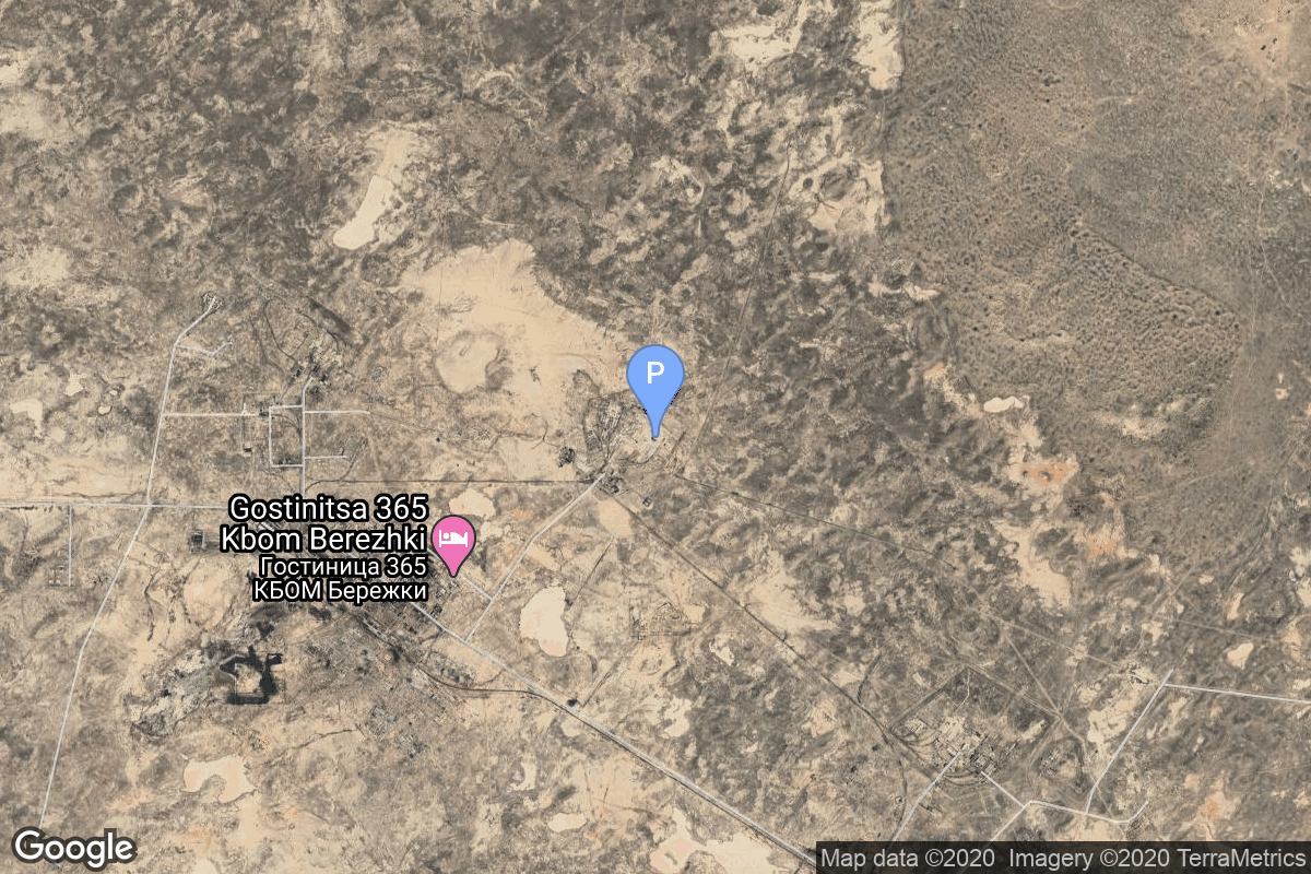
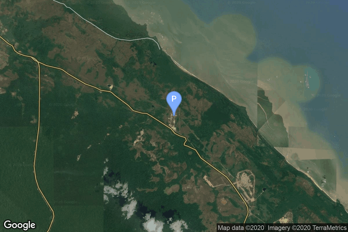
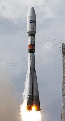
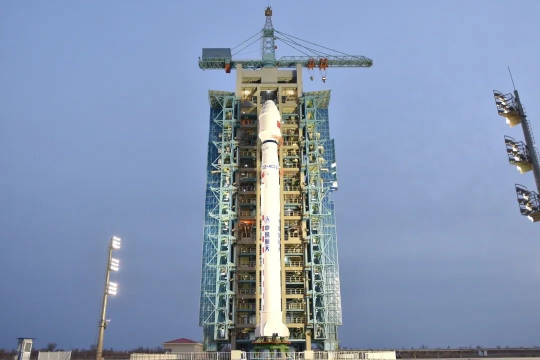
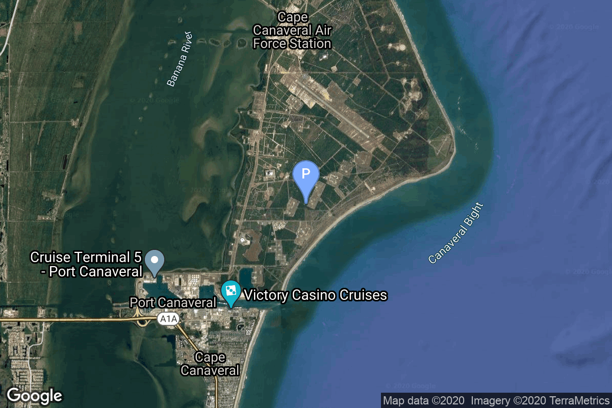
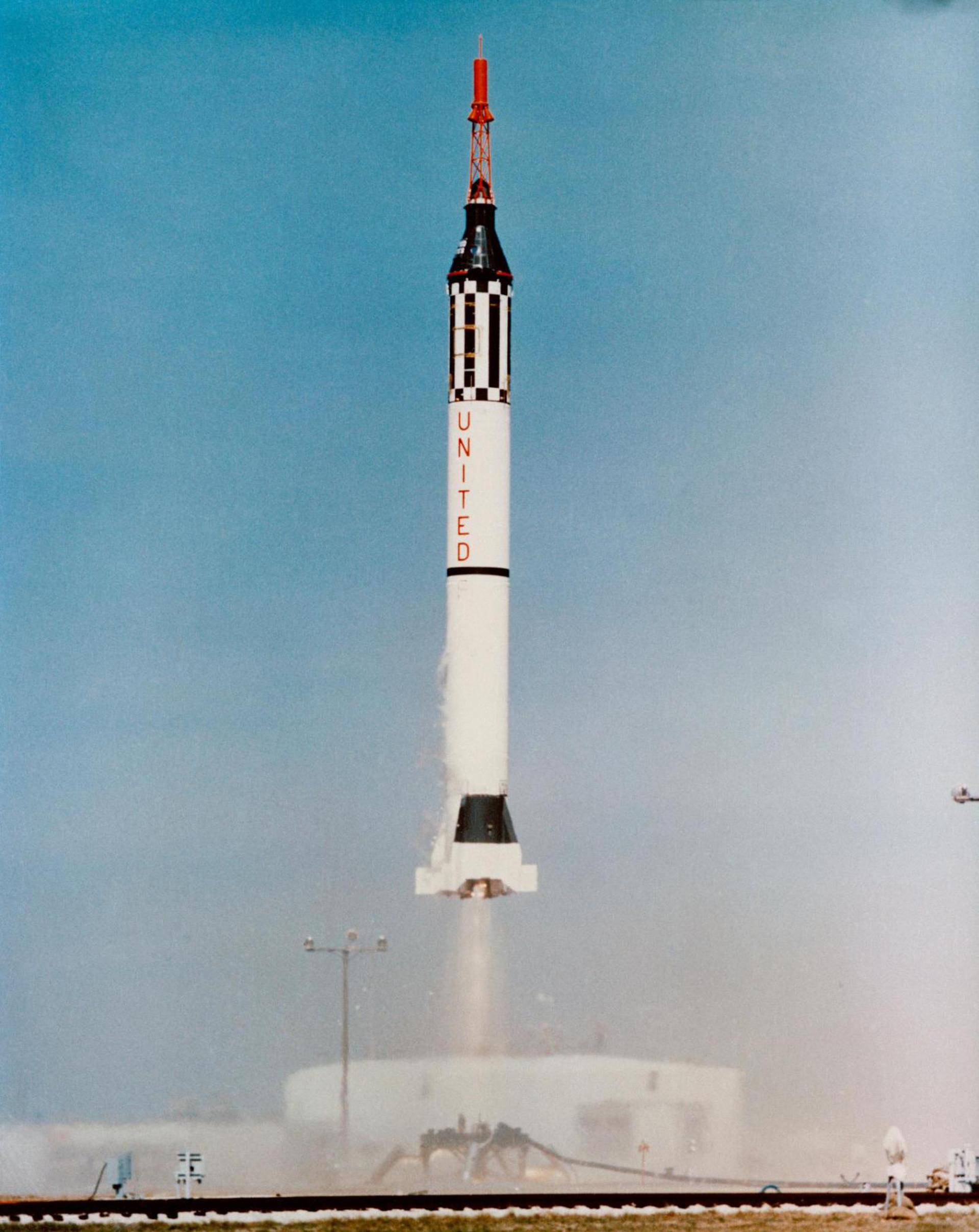
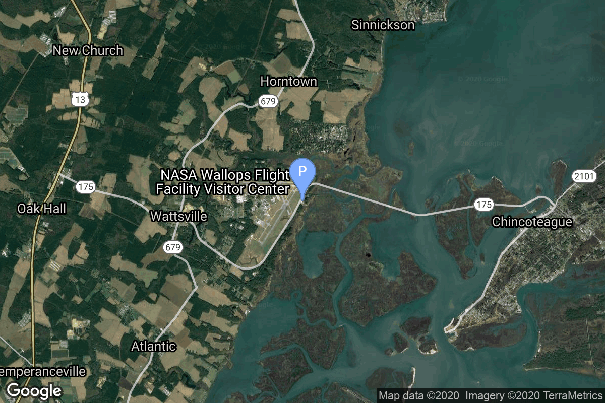
{ "count": 7847, "next": "https://ll.thespacedevs.com/2.0.0/launch/?format=api&limit=10&offset=330&ordering=id", "previous": "https://ll.thespacedevs.com/2.0.0/launch/?format=api&limit=10&offset=310&ordering=id", "results": [ { "id": "0a9a511a-7ea1-4402-8555-e087f580a5c4", "url": "https://ll.thespacedevs.com/2.0.0/launch/0a9a511a-7ea1-4402-8555-e087f580a5c4/?format=api", "launch_library_id": null, "slug": "falcon-9-block-5-thuraya-4-ngs", "name": "Falcon 9 Block 5 | Thuraya 4-NGS", "status": { "id": 3, "name": "Success" }, "net": "2025-01-04T01:27:00Z", "window_end": "2025-01-04T05:27:00Z", "window_start": "2025-01-04T01:27:00Z", "inhold": false, "tbdtime": false, "tbddate": false, "probability": 95, "holdreason": "", "failreason": "", "hashtag": null, "launch_service_provider": { "id": 121, "url": "https://ll.thespacedevs.com/2.0.0/agencies/121/?format=api", "name": "SpaceX", "type": "Commercial" }, "rocket": { "id": 7447, "configuration": { "id": 164, "launch_library_id": 188, "url": "https://ll.thespacedevs.com/2.0.0/config/launcher/164/?format=api", "name": "Falcon 9", "family": "Falcon", "full_name": "Falcon 9 Block 5", "variant": "Block 5" } }, "mission": { "id": 6725, "launch_library_id": null, "name": "Thuraya 4-NGS", "description": "Thuraya 4-NGS is a communication satellite being built by Airbus Defense and Space for the UAE based Yahsat. Based on the all-electric Airbus Eurostar-Neo Platform, Thuraya 4-NGS will incorporate a large 12-meter L-band antenna and a payload with on-board processing providing advanced routing flexibility of up to 3200 channels with dynamic power allocation over a large number of spot beams.", "launch_designator": null, "type": "Communications", "orbit": { "id": 2, "name": "Geostationary Transfer Orbit", "abbrev": "GTO" } }, "pad": { "id": 80, "url": "https://ll.thespacedevs.com/2.0.0/pad/80/?format=api", "agency_id": 121, "name": "Space Launch Complex 40", "info_url": null, "wiki_url": "https://en.wikipedia.org/wiki/Cape_Canaveral_Air_Force_Station_Space_Launch_Complex_40", "map_url": "https://www.google.com/maps?q=28.56194122,-80.57735736", "latitude": "28.56194122", "longitude": "-80.57735736", "location": { "id": 12, "url": "https://ll.thespacedevs.com/2.0.0/location/12/?format=api", "name": "Cape Canaveral SFS, FL, USA", "country_code": "USA", "map_image": "https://thespacedevs-prod.nyc3.digitaloceanspaces.com/media/map_images/location_12_20200803142519.jpg", "total_launch_count": 1103, "total_landing_count": 72 }, "map_image": "https://thespacedevs-prod.nyc3.digitaloceanspaces.com/media/map_images/pad_80_20200803143323.jpg", "total_launch_count": 378 }, "webcast_live": false, "image": "https://thespacedevs-prod.nyc3.digitaloceanspaces.com/media/images/falcon_9_image_20230807133459.jpeg", "infographic": null, "program": [] }, { "id": "0a9b2872-9b83-40bb-a950-ec5919a8d74a", "url": "https://ll.thespacedevs.com/2.0.0/launch/0a9b2872-9b83-40bb-a950-ec5919a8d74a/?format=api", "launch_library_id": null, "slug": "proton-kbriz-m-uragan-83-84-uragan-m-2", "name": "Proton-K/Briz-M | Uragan 83, 84 & Uragan-M 2", "status": { "id": 3, "name": "Success" }, "net": "2003-12-10T17:42:12Z", "window_end": "2003-12-10T17:42:12Z", "window_start": "2003-12-10T17:42:12Z", "inhold": false, "tbdtime": false, "tbddate": false, "probability": null, "holdreason": "", "failreason": null, "hashtag": null, "launch_service_provider": { "id": 96, "url": "https://ll.thespacedevs.com/2.0.0/agencies/96/?format=api", "name": "Khrunichev State Research and Production Space Center", "type": "Government" }, "rocket": { "id": 7162, "configuration": { "id": 346, "launch_library_id": null, "url": "https://ll.thespacedevs.com/2.0.0/config/launcher/346/?format=api", "name": "Proton-K/Briz-M", "family": "Proton / UR-500", "full_name": "Proton-K/Briz-M", "variant": "Briz-M" } }, "mission": { "id": 5551, "launch_library_id": null, "name": "Uragan 83, 84 & Uragan-M 2", "description": "GLONASS navigation satellites", "launch_designator": null, "type": "Navigation", "orbit": { "id": 12, "name": "Medium Earth Orbit", "abbrev": "MEO" } }, "pad": { "id": 7, "url": "https://ll.thespacedevs.com/2.0.0/pad/7/?format=api", "agency_id": null, "name": "81/24 (81P)", "info_url": null, "wiki_url": "", "map_url": "https://www.google.com/maps?q=46.071001,62.984999", "latitude": "46.071001", "longitude": "62.984999", "location": { "id": 15, "url": "https://ll.thespacedevs.com/2.0.0/location/15/?format=api", "name": "Baikonur Cosmodrome, Republic of Kazakhstan", "country_code": "KAZ", "map_image": "https://thespacedevs-prod.nyc3.digitaloceanspaces.com/media/map_images/location_15_20200803142517.jpg", "total_launch_count": 1561, "total_landing_count": 0 }, "map_image": "https://thespacedevs-prod.nyc3.digitaloceanspaces.com/media/map_images/pad_7_20200803143454.jpg", "total_launch_count": 93 }, "webcast_live": false, "image": "https://thespacedevs-prod.nyc3.digitaloceanspaces.com/media/images/proton_image_20231231095535.jpg", "infographic": null, "program": [ { "id": 34, "url": "https://ll.thespacedevs.com/2.0.0/program/34/?format=api", "name": "GLONASS", "description": "GLONASS (ГЛОНАСС, IPA: [ɡɫɐˈnas]; Russian: Глобальная навигационная спутниковая система, tr. Global'naya Navigatsionnaya Sputnikovaya Sistema, lit. 'Global Navigation Satellite System') is a Russian satellite navigation system operating as part of a radionavigation-satellite service. It provides an alternative to Global Positioning System (GPS) and is the second navigational system in operation with global coverage and of comparable precision.", "agencies": [ { "id": 63, "url": "https://ll.thespacedevs.com/2.0.0/agencies/63/?format=api", "name": "Russian Federal Space Agency (ROSCOSMOS)", "type": "Government" } ], "image_url": "https://thespacedevs-prod.nyc3.digitaloceanspaces.com/media/images/glonass_program_20240102170258.png", "start_date": "1982-10-12T00:00:00Z", "end_date": null, "info_url": "https://www.glonass-iac.ru/en/", "wiki_url": "https://en.wikipedia.org/wiki/GLONASS" } ] }, { "id": "0ab0bc54-1988-48ce-a40a-8554c137b534", "url": "https://ll.thespacedevs.com/2.0.0/launch/0ab0bc54-1988-48ce-a40a-8554c137b534/?format=api", "launch_library_id": 1319, "slug": "soyuz-stbfregat-mt-metop-c", "name": "Soyuz STB/Fregat-MT | MetOp-C", "status": { "id": 3, "name": "Success" }, "net": "2018-11-07T00:47:27Z", "window_end": "2018-11-07T00:47:27Z", "window_start": "2018-11-07T00:47:27Z", "inhold": false, "tbdtime": false, "tbddate": false, "probability": null, "holdreason": "", "failreason": null, "hashtag": "#MetOpC", "launch_service_provider": { "id": 115, "url": "https://ll.thespacedevs.com/2.0.0/agencies/115/?format=api", "name": "Arianespace", "type": "Commercial" }, "rocket": { "id": 2152, "configuration": { "id": 72, "launch_library_id": 96, "url": "https://ll.thespacedevs.com/2.0.0/config/launcher/72/?format=api", "name": "Soyuz STB", "family": "Soyuz", "full_name": "Soyuz STB Fregat-MT", "variant": "Fregat-MT" } }, "mission": { "id": 707, "launch_library_id": 833, "name": "MetOp-C", "description": "MetOp is a series of three polar orbiting meteorological satellites developed by the European Space Agency (ESA).", "launch_designator": null, "type": "Earth Science", "orbit": { "id": 17, "name": "Sun-Synchronous Orbit", "abbrev": "SSO" } }, "pad": { "id": 81, "url": "https://ll.thespacedevs.com/2.0.0/pad/81/?format=api", "agency_id": 115, "name": "Soyuz Launch Complex", "info_url": null, "wiki_url": "https://en.wikipedia.org/wiki/Ensemble_de_Lancement_Soyouz", "map_url": "https://www.google.com/maps?q=5.3019,-52.8346", "latitude": "5.3019", "longitude": "-52.8346", "location": { "id": 13, "url": "https://ll.thespacedevs.com/2.0.0/location/13/?format=api", "name": "Guiana Space Centre, French Guiana", "country_code": "GUF", "map_image": "https://thespacedevs-prod.nyc3.digitaloceanspaces.com/media/map_images/location_13_20200803142412.jpg", "total_launch_count": 331, "total_landing_count": 0 }, "map_image": "https://thespacedevs-prod.nyc3.digitaloceanspaces.com/media/map_images/pad_81_20200803143601.jpg", "total_launch_count": 26 }, "webcast_live": false, "image": "https://thespacedevs-prod.nyc3.digitaloceanspaces.com/media/images/soyuz2520stb_image_20191201201634.jpg", "infographic": null, "program": [] }, { "id": "0ab25471-b026-4252-93ab-89d91c1a7f4d", "url": "https://ll.thespacedevs.com/2.0.0/launch/0ab25471-b026-4252-93ab-89d91c1a7f4d/?format=api", "launch_library_id": null, "slug": "falcon-9-block-5-starlink-group-15-4", "name": "Falcon 9 Block 5 | Starlink Group 15-4", "status": { "id": 3, "name": "Success" }, "net": "2025-05-13T01:15:10Z", "window_end": "2025-05-13T02:08:00Z", "window_start": "2025-05-13T01:15:10Z", "inhold": false, "tbdtime": false, "tbddate": false, "probability": null, "holdreason": "", "failreason": "", "hashtag": null, "launch_service_provider": { "id": 121, "url": "https://ll.thespacedevs.com/2.0.0/agencies/121/?format=api", "name": "SpaceX", "type": "Commercial" }, "rocket": { "id": 8601, "configuration": { "id": 164, "launch_library_id": 188, "url": "https://ll.thespacedevs.com/2.0.0/config/launcher/164/?format=api", "name": "Falcon 9", "family": "Falcon", "full_name": "Falcon 9 Block 5", "variant": "Block 5" } }, "mission": { "id": 7193, "launch_library_id": null, "name": "Starlink Group 15-4", "description": "A batch of 26 satellites for the Starlink mega-constellation - SpaceX's project for space-based Internet communication system.", "launch_designator": null, "type": "Communications", "orbit": { "id": 8, "name": "Low Earth Orbit", "abbrev": "LEO" } }, "pad": { "id": 16, "url": "https://ll.thespacedevs.com/2.0.0/pad/16/?format=api", "agency_id": null, "name": "Space Launch Complex 4E", "info_url": null, "wiki_url": "https://en.wikipedia.org/wiki/Vandenberg_Space_Launch_Complex_4#SLC-4E", "map_url": "https://www.google.com/maps?q=34.632,-120.611", "latitude": "34.632", "longitude": "-120.611", "location": { "id": 11, "url": "https://ll.thespacedevs.com/2.0.0/location/11/?format=api", "name": "Vandenberg SFB, CA, USA", "country_code": "USA", "map_image": "https://thespacedevs-prod.nyc3.digitaloceanspaces.com/media/map_images/location_11_20200803142416.jpg", "total_launch_count": 877, "total_landing_count": 33 }, "map_image": "https://thespacedevs-prod.nyc3.digitaloceanspaces.com/media/map_images/pad_16_20200803143532.jpg", "total_launch_count": 261 }, "webcast_live": false, "image": "https://thespacedevs-prod.nyc3.digitaloceanspaces.com/media/images/falcon2520925_image_20221009234147.png", "infographic": null, "program": [ { "id": 25, "url": "https://ll.thespacedevs.com/2.0.0/program/25/?format=api", "name": "Starlink", "description": "Starlink is a satellite internet constellation operated by American aerospace company SpaceX", "agencies": [ { "id": 121, "url": "https://ll.thespacedevs.com/2.0.0/agencies/121/?format=api", "name": "SpaceX", "type": "Commercial" } ], "image_url": "https://thespacedevs-prod.nyc3.digitaloceanspaces.com/media/images/starlink_program_20231228154508.jpeg", "start_date": "2018-02-22T14:17:00Z", "end_date": null, "info_url": "https://starlink.com", "wiki_url": "https://en.wikipedia.org/wiki/Starlink" } ] }, { "id": "0ab496a8-c2e1-455f-b88c-f2ec5eecb825", "url": "https://ll.thespacedevs.com/2.0.0/launch/0ab496a8-c2e1-455f-b88c-f2ec5eecb825/?format=api", "launch_library_id": null, "slug": "long-march-4c-shiyan-28-b-01", "name": "Long March 4C | Shiyan 28 B-01", "status": { "id": 3, "name": "Success" }, "net": "2025-07-03T09:35:00Z", "window_end": "2025-07-03T09:50:00Z", "window_start": "2025-07-03T09:26:00Z", "inhold": false, "tbdtime": false, "tbddate": false, "probability": null, "holdreason": "", "failreason": "", "hashtag": null, "launch_service_provider": { "id": 88, "url": "https://ll.thespacedevs.com/2.0.0/agencies/88/?format=api", "name": "China Aerospace Science and Technology Corporation", "type": "Government" }, "rocket": { "id": 8651, "configuration": { "id": 64, "launch_library_id": 70, "url": "https://ll.thespacedevs.com/2.0.0/config/launcher/64/?format=api", "name": "Long March 4C", "family": "Long March", "full_name": "Long March 4C", "variant": "C" } }, "mission": { "id": 7243, "launch_library_id": null, "name": "Shiyan 28 B-01", "description": "Satellite officially named for \"space environment detection\" purposes, exact details unknown.", "launch_designator": null, "type": "Government/Top Secret", "orbit": { "id": 8, "name": "Low Earth Orbit", "abbrev": "LEO" } }, "pad": { "id": 66, "url": "https://ll.thespacedevs.com/2.0.0/pad/66/?format=api", "agency_id": 17, "name": "Launch Complex 3 (LC-3/LA-1)", "info_url": null, "wiki_url": "https://en.wikipedia.org/wiki/Xichang_Satellite_Launch_Center", "map_url": "https://www.google.com/maps?q=28.247059,102.029008", "latitude": "28.247059", "longitude": "102.029008", "location": { "id": 16, "url": "https://ll.thespacedevs.com/2.0.0/location/16/?format=api", "name": "Xichang Satellite Launch Center, People's Republic of China", "country_code": "CHN", "map_image": "https://thespacedevs-prod.nyc3.digitaloceanspaces.com/media/map_images/location_16_20200803142513.jpg", "total_launch_count": 238, "total_landing_count": 0 }, "map_image": "https://thespacedevs-prod.nyc3.digitaloceanspaces.com/media/map_images/pad_66_20200803143611.jpg", "total_launch_count": 106 }, "webcast_live": false, "image": "https://thespacedevs-prod.nyc3.digitaloceanspaces.com/media/images/long_march_4c_image_20230801172338.jpeg", "infographic": null, "program": [] }, { "id": "0abcc2bf-6243-4f2c-8c14-cac541595992", "url": "https://ll.thespacedevs.com/2.0.0/launch/0abcc2bf-6243-4f2c-8c14-cac541595992/?format=api", "launch_library_id": null, "slug": "redstone-mrlv-mercury-redstone-1", "name": "Redstone MRLV | Mercury-Redstone 1", "status": { "id": 4, "name": "Failure" }, "net": "1960-11-21T14:00:00Z", "window_end": "1960-11-21T14:00:00Z", "window_start": "1960-11-21T14:00:00Z", "inhold": false, "tbdtime": false, "tbddate": false, "probability": null, "holdreason": "", "failreason": "", "hashtag": null, "launch_service_provider": { "id": 44, "url": "https://ll.thespacedevs.com/2.0.0/agencies/44/?format=api", "name": "National Aeronautics and Space Administration", "type": "Government" }, "rocket": { "id": 7436, "configuration": { "id": 107, "launch_library_id": 141, "url": "https://ll.thespacedevs.com/2.0.0/config/launcher/107/?format=api", "name": "Redstone", "family": "Redstone", "full_name": "Redstone MRLV", "variant": "MRLV" } }, "mission": { "id": 5825, "launch_library_id": null, "name": "Mercury-Redstone 1", "description": "Mercury-Redstone 1 (MR-1) was the first Mercury-Redstone uncrewed flight test in Project Mercury and the first attempt to launch a Mercury spacecraft with the Mercury-Redstone Launch Vehicle. Intended to be an uncrewed sub-orbital spaceflight, it was launched on November 21, 1960 from Cape Canaveral Air Force Station, Florida. The launch failed in abnormal fashion: immediately after the Mercury-Redstone rocket started to move, it shut itself down and settled back on the pad, after which the capsule jettisoned its escape rocket and deployed its recovery parachutes. The failure has been referred to as the \"four-inch flight\", for the approximate distance traveled by the launch vehicle.", "launch_designator": null, "type": "Test Flight", "orbit": { "id": 15, "name": "Suborbital", "abbrev": "Sub" } }, "pad": { "id": 123, "url": "https://ll.thespacedevs.com/2.0.0/pad/123/?format=api", "agency_id": 161, "name": "Launch Complex 5", "info_url": null, "wiki_url": "https://en.wikipedia.org/wiki/Cape_Canaveral_Launch_Complex_5", "map_url": "https://www.google.com/maps?q=28.43942,-80.573301", "latitude": "28.43942", "longitude": "-80.573301", "location": { "id": 12, "url": "https://ll.thespacedevs.com/2.0.0/location/12/?format=api", "name": "Cape Canaveral SFS, FL, USA", "country_code": "USA", "map_image": "https://thespacedevs-prod.nyc3.digitaloceanspaces.com/media/map_images/location_12_20200803142519.jpg", "total_launch_count": 1103, "total_landing_count": 72 }, "map_image": "https://thespacedevs-prod.nyc3.digitaloceanspaces.com/media/map_images/pad_123_20200803143235.jpg", "total_launch_count": 13 }, "webcast_live": false, "image": "https://thespacedevs-prod.nyc3.digitaloceanspaces.com/media/images/redstone_image_20190207032627.jpeg", "infographic": null, "program": [ { "id": 2, "url": "https://ll.thespacedevs.com/2.0.0/program/2/?format=api", "name": "Mercury", "description": "Project Mercury was the first human spaceflight program of the United States, running from 1958 through 1963.", "agencies": [ { "id": 44, "url": "https://ll.thespacedevs.com/2.0.0/agencies/44/?format=api", "name": "National Aeronautics and Space Administration", "type": "Government" } ], "image_url": "https://thespacedevs-prod.nyc3.digitaloceanspaces.com/media/images/project2520mer_program_20200820194755.png", "start_date": "1958-10-07T00:00:00Z", "end_date": "1963-05-16T23:24:02Z", "info_url": "https://www.nasa.gov/mission_pages/mercury/missions/program-toc.html", "wiki_url": "https://en.wikipedia.org/wiki/Project_Mercury" } ] }, { "id": "0acafdb8-f363-4caf-8fc2-572def9a33fc", "url": "https://ll.thespacedevs.com/2.0.0/launch/0acafdb8-f363-4caf-8fc2-572def9a33fc/?format=api", "launch_library_id": 1161, "slug": "pegasus-xl-haps-orbcomm-a1-a8", "name": "Pegasus XL HAPS | Orbcomm-A1 - A8", "status": { "id": 3, "name": "Success" }, "net": "1997-12-23T19:11:42Z", "window_end": "1997-12-23T19:11:42Z", "window_start": "1997-12-23T19:11:42Z", "inhold": false, "tbdtime": false, "tbddate": false, "probability": null, "holdreason": "", "failreason": "", "hashtag": null, "launch_service_provider": { "id": 100, "url": "https://ll.thespacedevs.com/2.0.0/agencies/100/?format=api", "name": "Orbital Sciences Corporation", "type": "Commercial" }, "rocket": { "id": 426, "configuration": { "id": 118, "launch_library_id": 152, "url": "https://ll.thespacedevs.com/2.0.0/config/launcher/118/?format=api", "name": "Pegasus XL HAPS", "family": "Pegasus", "full_name": "Pegasus XL HAPS", "variant": "HAPS" } }, "mission": null, "pad": { "id": 52, "url": "https://ll.thespacedevs.com/2.0.0/pad/52/?format=api", "agency_id": null, "name": "Wallops Flight Facility", "info_url": null, "wiki_url": "https://en.wikipedia.org/wiki/Wallops_Flight_Facility", "map_url": "https://www.google.com/maps?q=37.938611,-75.457222", "latitude": "37.938611", "longitude": "-75.457222", "location": { "id": 20, "url": "https://ll.thespacedevs.com/2.0.0/location/20/?format=api", "name": "Air launch to orbit", "country_code": "???", "map_image": "https://thespacedevs-prod.nyc3.digitaloceanspaces.com/media/map_images/location_20_20200803142433.jpg", "total_launch_count": 51, "total_landing_count": 0 }, "map_image": "https://thespacedevs-prod.nyc3.digitaloceanspaces.com/media/map_images/pad_52_20200803143305.jpg", "total_launch_count": 6 }, "webcast_live": false, "image": "https://thespacedevs-prod.nyc3.digitaloceanspaces.com/media/images/pegasus_xl_moun_image_20240307124328.jpeg", "infographic": null, "program": [] }, { "id": "0afa13ab-2dcd-4177-809a-bed0f94ccb80", "url": "https://ll.thespacedevs.com/2.0.0/launch/0afa13ab-2dcd-4177-809a-bed0f94ccb80/?format=api", "launch_library_id": null, "slug": "kosmos-11k63-ds-p1-yu-26", "name": "Kosmos 11K63 | DS-P1-Yu 26", "status": { "id": 3, "name": "Success" }, "net": "1969-10-24T13:01:58Z", "window_end": "1969-10-24T13:01:58Z", "window_start": "1969-10-24T13:01:58Z", "inhold": false, "tbdtime": false, "tbddate": false, "probability": null, "holdreason": "", "failreason": null, "hashtag": null, "launch_service_provider": { "id": 66, "url": "https://ll.thespacedevs.com/2.0.0/agencies/66/?format=api", "name": "Soviet Space Program", "type": "Government" }, "rocket": { "id": 3955, "configuration": { "id": 327, "launch_library_id": null, "url": "https://ll.thespacedevs.com/2.0.0/config/launcher/327/?format=api", "name": "Kosmos 11K63", "family": "Kosmos", "full_name": "Kosmos 11K63", "variant": "11K63" } }, "mission": { "id": 2373, "launch_library_id": null, "name": "DS-P1-Yu 26", "description": "The DS-P1-Yu series of satellites was used to calibrate space surveillance and early warning radars.", "launch_designator": null, "type": "Test Target", "orbit": { "id": 8, "name": "Low Earth Orbit", "abbrev": "LEO" } }, "pad": { "id": 140, "url": "https://ll.thespacedevs.com/2.0.0/pad/140/?format=api", "agency_id": null, "name": "86/4", "info_url": null, "wiki_url": "https://en.wikipedia.org/wiki/Kapustin_Yar", "map_url": "https://www.google.com/maps?q=48.56935,46.293219", "latitude": "48.56935", "longitude": "46.293219", "location": { "id": 30, "url": "https://ll.thespacedevs.com/2.0.0/location/30/?format=api", "name": "Kapustin Yar, Russian Federation", "country_code": "RUS", "map_image": "https://thespacedevs-prod.nyc3.digitaloceanspaces.com/media/map_images/location_30_20200803142515.jpg", "total_launch_count": 101, "total_landing_count": 0 }, "map_image": "https://thespacedevs-prod.nyc3.digitaloceanspaces.com/media/map_images/pad_140_20200803143350.jpg", "total_launch_count": 24 }, "webcast_live": false, "image": "https://thespacedevs-prod.nyc3.digitaloceanspaces.com/media/images/kosmos_11k63_image_20251104091702.jpg", "infographic": null, "program": [] }, { "id": "0afda3dd-71f8-4b29-9659-9f0bfd107c00", "url": "https://ll.thespacedevs.com/2.0.0/launch/0afda3dd-71f8-4b29-9659-9f0bfd107c00/?format=api", "launch_library_id": 700, "slug": "soyuz-u-progress-m-11m-43p", "name": "Soyuz-U | Progress M-11M (43P)", "status": { "id": 3, "name": "Success" }, "net": "2011-06-21T14:38:15Z", "window_end": "2011-06-21T14:38:15Z", "window_start": "2011-06-21T14:38:15Z", "inhold": false, "tbdtime": false, "tbddate": false, "probability": null, "holdreason": "", "failreason": "", "hashtag": null, "launch_service_provider": { "id": 63, "url": "https://ll.thespacedevs.com/2.0.0/agencies/63/?format=api", "name": "Russian Federal Space Agency (ROSCOSMOS)", "type": "Government" }, "rocket": { "id": 1530, "configuration": { "id": 37, "launch_library_id": 35, "url": "https://ll.thespacedevs.com/2.0.0/config/launcher/37/?format=api", "name": "Soyuz U", "family": "Soyuz", "full_name": "Soyuz U", "variant": "" } }, "mission": null, "pad": { "id": 32, "url": "https://ll.thespacedevs.com/2.0.0/pad/32/?format=api", "agency_id": null, "name": "1/5", "info_url": null, "wiki_url": "", "map_url": "https://www.google.com/maps?q=45.92,63.342", "latitude": "45.92", "longitude": "63.342", "location": { "id": 15, "url": "https://ll.thespacedevs.com/2.0.0/location/15/?format=api", "name": "Baikonur Cosmodrome, Republic of Kazakhstan", "country_code": "KAZ", "map_image": "https://thespacedevs-prod.nyc3.digitaloceanspaces.com/media/map_images/location_15_20200803142517.jpg", "total_launch_count": 1561, "total_landing_count": 0 }, "map_image": "https://thespacedevs-prod.nyc3.digitaloceanspaces.com/media/map_images/pad_32_20200803143513.jpg", "total_launch_count": 487 }, "webcast_live": false, "image": "https://thespacedevs-prod.nyc3.digitaloceanspaces.com/media/images/soyuz2520u_image_20190222031023.jpeg", "infographic": null, "program": [ { "id": 17, "url": "https://ll.thespacedevs.com/2.0.0/program/17/?format=api", "name": "International Space Station", "description": "The International Space Station programme is tied together by a complex set of legal, political and financial agreements between the sixteen nations involved in the project, governing ownership of the various components, rights to crewing and utilization, and responsibilities for crew rotation and resupply of the International Space Station. It was conceived in 1984 by President Ronald Reagan, during the Space Station Freedom project as it was originally called.", "agencies": [ { "id": 16, "url": "https://ll.thespacedevs.com/2.0.0/agencies/16/?format=api", "name": "Canadian Space Agency", "type": "Government" }, { "id": 27, "url": "https://ll.thespacedevs.com/2.0.0/agencies/27/?format=api", "name": "European Space Agency", "type": "Multinational" }, { "id": 37, "url": "https://ll.thespacedevs.com/2.0.0/agencies/37/?format=api", "name": "Japan Aerospace Exploration Agency", "type": "Government" }, { "id": 44, "url": "https://ll.thespacedevs.com/2.0.0/agencies/44/?format=api", "name": "National Aeronautics and Space Administration", "type": "Government" }, { "id": 63, "url": "https://ll.thespacedevs.com/2.0.0/agencies/63/?format=api", "name": "Russian Federal Space Agency (ROSCOSMOS)", "type": "Government" } ], "image_url": "https://thespacedevs-prod.nyc3.digitaloceanspaces.com/media/images/international2_program_20201129184745.png", "start_date": "1998-11-20T06:40:00Z", "end_date": null, "info_url": "https://www.nasa.gov/mission_pages/station/main/index.html", "wiki_url": "https://en.wikipedia.org/wiki/International_Space_Station_programme" } ] }, { "id": "0b02afa8-f6f5-4757-a234-2ae3ba2495d7", "url": "https://ll.thespacedevs.com/2.0.0/launch/0b02afa8-f6f5-4757-a234-2ae3ba2495d7/?format=api", "launch_library_id": null, "slug": "soyuz-u-zenit-6u-38", "name": "Soyuz U | Zenit-6U 38", "status": { "id": 3, "name": "Success" }, "net": "1981-04-28T09:00:00Z", "window_end": "1981-04-28T09:00:00Z", "window_start": "1981-04-28T09:00:00Z", "inhold": false, "tbdtime": false, "tbddate": false, "probability": null, "holdreason": "", "failreason": null, "hashtag": null, "launch_service_provider": { "id": 66, "url": "https://ll.thespacedevs.com/2.0.0/agencies/66/?format=api", "name": "Soviet Space Program", "type": "Government" }, "rocket": { "id": 5272, "configuration": { "id": 37, "launch_library_id": 35, "url": "https://ll.thespacedevs.com/2.0.0/config/launcher/37/?format=api", "name": "Soyuz U", "family": "Soyuz", "full_name": "Soyuz U", "variant": "" } }, "mission": { "id": 3681, "launch_library_id": null, "name": "Zenit-6U 38", "description": "Optical film-return reconnaissance satellite", "launch_designator": null, "type": "Government/Top Secret", "orbit": { "id": 8, "name": "Low Earth Orbit", "abbrev": "LEO" } }, "pad": { "id": 20, "url": "https://ll.thespacedevs.com/2.0.0/pad/20/?format=api", "agency_id": null, "name": "31/6", "info_url": null, "wiki_url": "https://en.wikipedia.org/wiki/Baikonur_Cosmodrome_Site_31", "map_url": "https://www.google.com/maps?q=45.996034,63.564003", "latitude": "45.996034", "longitude": "63.564003", "location": { "id": 15, "url": "https://ll.thespacedevs.com/2.0.0/location/15/?format=api", "name": "Baikonur Cosmodrome, Republic of Kazakhstan", "country_code": "KAZ", "map_image": "https://thespacedevs-prod.nyc3.digitaloceanspaces.com/media/map_images/location_15_20200803142517.jpg", "total_launch_count": 1561, "total_landing_count": 0 }, "map_image": "https://thespacedevs-prod.nyc3.digitaloceanspaces.com/media/map_images/pad_20_20200803143516.jpg", "total_launch_count": 427 }, "webcast_live": false, "image": "https://thespacedevs-prod.nyc3.digitaloceanspaces.com/media/images/soyuz2520u_image_20190222031023.jpeg", "infographic": null, "program": [] } ] }