Launch List
API endpoint that returns all Launch objects or a single launch.
EXAMPLE - /launch/
GET: Return a list of all Launch objects.
FILTERS: Fields - 'name', 'id(s)', 'lsp_id', 'lsp_name', 'serial_number', 'launcher_config__id', 'rocket__spacecraftflight__spacecraft__name'
MODE: 'normal', 'list', 'detailed' EXAMPLE: ?mode=list
SEARCH: Searches through the launch name, rocket name, launch agency, mission name & spacecraft name. EXAMPLE - ?search=SpaceX
GET /2.0.0/launch/?format=api&offset=180&ordering=net
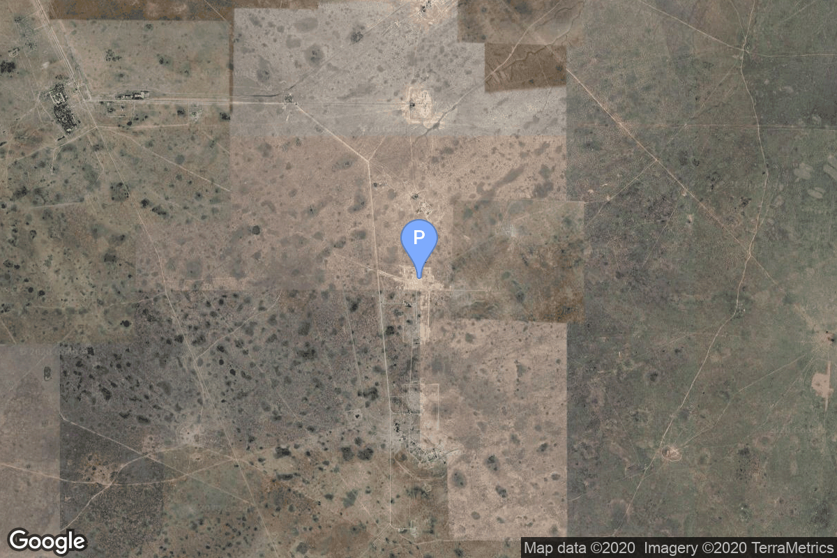
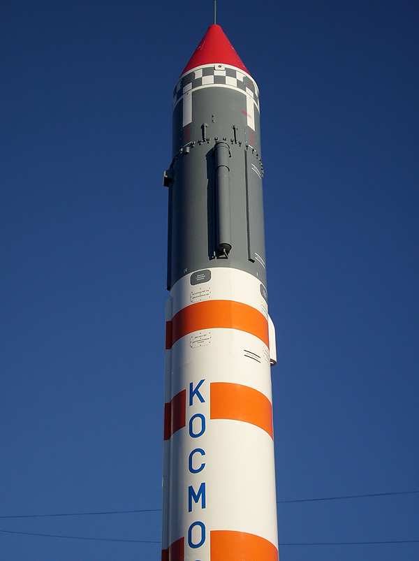
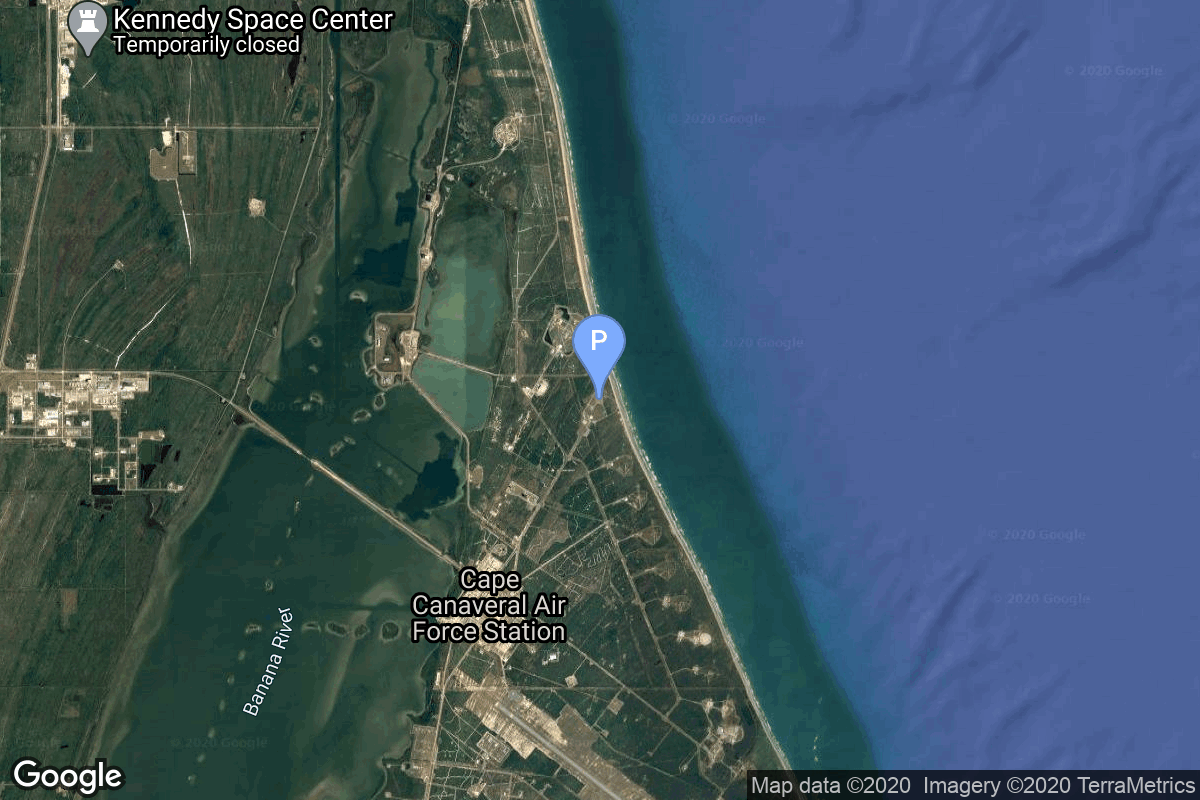
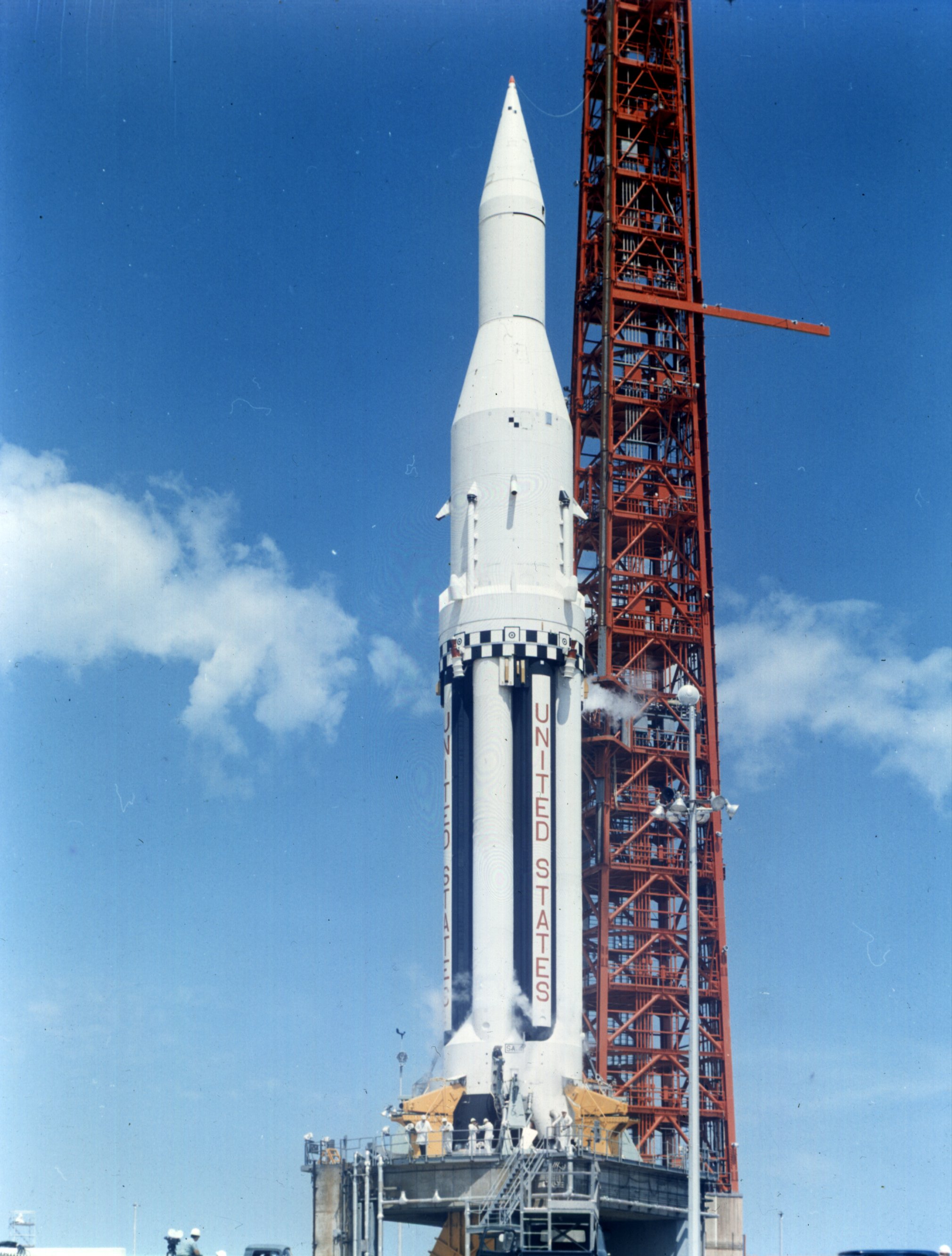
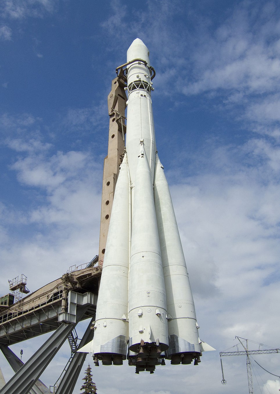
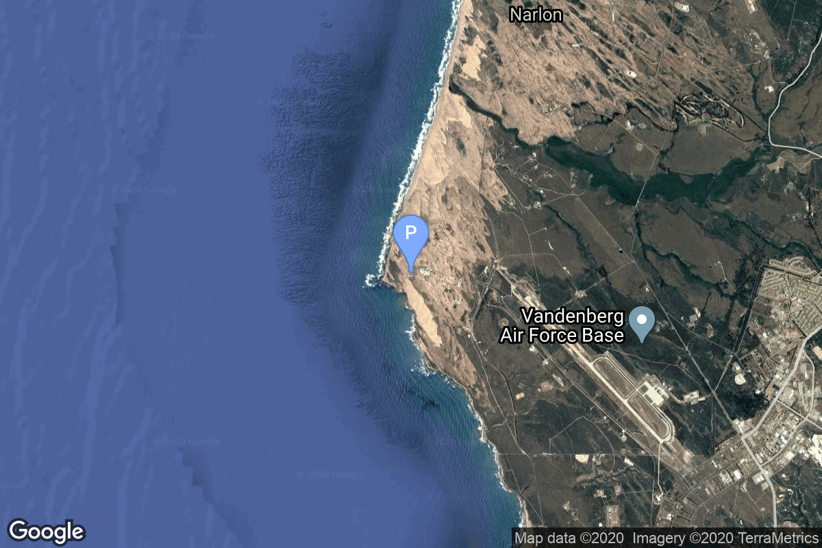
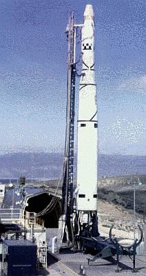
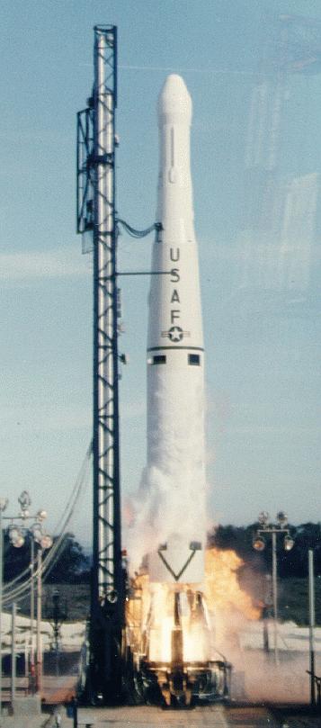
{ "count": 7544, "next": "https://ll.thespacedevs.com/2.0.0/launch/?format=api&limit=10&offset=190&ordering=net", "previous": "https://ll.thespacedevs.com/2.0.0/launch/?format=api&limit=10&offset=170&ordering=net", "results": [ { "id": "7f935a77-99ad-40dc-9dcd-9f63f04c79fe", "url": "https://ll.thespacedevs.com/2.0.0/launch/7f935a77-99ad-40dc-9dcd-9f63f04c79fe/?format=api", "launch_library_id": null, "slug": "atlas-agena-b-ranger-4", "name": "Atlas Agena B | Ranger 4", "status": { "id": 3, "name": "Success" }, "net": "1962-04-23T20:50:00Z", "window_end": "1962-04-23T20:50:00Z", "window_start": "1962-04-23T20:50:00Z", "inhold": false, "tbdtime": false, "tbddate": false, "probability": null, "holdreason": "", "failreason": null, "hashtag": null, "launch_service_provider": { "id": 161, "url": "https://ll.thespacedevs.com/2.0.0/agencies/161/?format=api", "name": "United States Air Force", "type": "Government" }, "rocket": { "id": 3115, "configuration": { "id": 183, "launch_library_id": 193, "url": "https://ll.thespacedevs.com/2.0.0/config/launcher/183/?format=api", "name": "Atlas Agena B", "family": "Atlas", "full_name": "Atlas LV-3 Agena B", "variant": "LV-3 Agena B" } }, "mission": { "id": 1537, "launch_library_id": null, "name": "Ranger 4", "description": "Ranger 4 was a spacecraft designed to softly impact the lunar surface. Its solar panels were never extended and its sun and earth acquisition system was not initiated due to a failure of a timer in its central computer. It impacted the far side of the Moon on April 26 after 64 hours of flight.", "launch_designator": null, "type": "Lunar Exploration", "orbit": { "id": 10, "name": "Lunar Impactor", "abbrev": "Lunar Impactor" } }, "pad": { "id": 99, "url": "https://ll.thespacedevs.com/2.0.0/pad/99/?format=api", "agency_id": 161, "name": "Launch Complex 12", "info_url": null, "wiki_url": "https://en.wikipedia.org/wiki/Cape_Canaveral_Air_Force_Station_Launch_Complex_12", "map_url": "https://www.google.com/maps?q=28.480607,-80.541938", "latitude": "28.480607", "longitude": "-80.541938", "location": { "id": 12, "url": "https://ll.thespacedevs.com/2.0.0/location/12/?format=api", "name": "Cape Canaveral SFS, FL, USA", "country_code": "USA", "map_image": "https://thespacedevs-prod.nyc3.digitaloceanspaces.com/media/map_images/location_12_20200803142519.jpg", "total_launch_count": 1037, "total_landing_count": 65 }, "map_image": "https://thespacedevs-prod.nyc3.digitaloceanspaces.com/media/map_images/pad_99_20200803143435.jpg", "total_launch_count": 23 }, "webcast_live": false, "image": null, "infographic": null, "program": [] }, { "id": "1e0c9df8-297b-4d82-974a-ea47ded5f860", "url": "https://ll.thespacedevs.com/2.0.0/launch/1e0c9df8-297b-4d82-974a-ea47ded5f860/?format=api", "launch_library_id": null, "slug": "kosmos-2i-63s1-sputnik-13", "name": "Kosmos-2I 63S1 | Sputnik 13", "status": { "id": 3, "name": "Success" }, "net": "1962-04-24T04:00:00Z", "window_end": "1962-04-24T04:00:00Z", "window_start": "1962-04-24T04:00:00Z", "inhold": false, "tbdtime": false, "tbddate": false, "probability": null, "holdreason": "", "failreason": null, "hashtag": null, "launch_service_provider": { "id": 66, "url": "https://ll.thespacedevs.com/2.0.0/agencies/66/?format=api", "name": "Soviet Space Program", "type": "Government" }, "rocket": { "id": 3116, "configuration": { "id": 190, "launch_library_id": 211, "url": "https://ll.thespacedevs.com/2.0.0/config/launcher/190/?format=api", "name": "Kosmos-2I 63S1", "family": "Kosmos", "full_name": "Kosmos-2I", "variant": "" } }, "mission": { "id": 1538, "launch_library_id": null, "name": "Sputnik 13", "description": "Cosmos 3 was the first 2MS satellite deployed by the OKB-1. It operated until August 20, 1962 and re-entered the atmosphere on October 17, 1963 .", "launch_designator": null, "type": "Astrophysics", "orbit": { "id": 0, "name": "Elliptical Orbit", "abbrev": "Elliptical" } }, "pad": { "id": 100, "url": "https://ll.thespacedevs.com/2.0.0/pad/100/?format=api", "agency_id": null, "name": "Mayak-2", "info_url": null, "wiki_url": null, "map_url": "https://www.google.com/maps?q=48.569551,46.295814", "latitude": "48.569551", "longitude": "46.295814", "location": { "id": 30, "url": "https://ll.thespacedevs.com/2.0.0/location/30/?format=api", "name": "Kapustin Yar, Russian Federation", "country_code": "RUS", "map_image": "https://thespacedevs-prod.nyc3.digitaloceanspaces.com/media/map_images/location_30_20200803142515.jpg", "total_launch_count": 101, "total_landing_count": 0 }, "map_image": "https://thespacedevs-prod.nyc3.digitaloceanspaces.com/media/map_images/pad_100_20200803143212.jpg", "total_launch_count": 24 }, "webcast_live": false, "image": "https://thespacedevs-prod.nyc3.digitaloceanspaces.com/media/images/kosmos-2i252063s1_image_20191201205435.jpg", "infographic": null, "program": [] }, { "id": "2d5166a1-579a-4a2e-b153-4caa3d4b8c42", "url": "https://ll.thespacedevs.com/2.0.0/launch/2d5166a1-579a-4a2e-b153-4caa3d4b8c42/?format=api", "launch_library_id": null, "slug": "saturn-i-saturn-sa-2", "name": "Saturn I | Saturn SA-2", "status": { "id": 3, "name": "Success" }, "net": "1962-04-25T14:00:34Z", "window_end": "1962-04-25T14:00:34Z", "window_start": "1962-04-25T14:00:34Z", "inhold": false, "tbdtime": false, "tbddate": false, "probability": null, "holdreason": "", "failreason": "", "hashtag": null, "launch_service_provider": { "id": 44, "url": "https://ll.thespacedevs.com/2.0.0/agencies/44/?format=api", "name": "National Aeronautics and Space Administration", "type": "Government" }, "rocket": { "id": 7419, "configuration": { "id": 355, "launch_library_id": null, "url": "https://ll.thespacedevs.com/2.0.0/config/launcher/355/?format=api", "name": "Saturn I", "family": "Saturn", "full_name": "Saturn I", "variant": "I" } }, "mission": { "id": 5808, "launch_library_id": null, "name": "Saturn SA-2", "description": "Second test flight of the Saturn I launch vehicle. It carried an experiment for Project Highwater.", "launch_designator": null, "type": "Test Flight", "orbit": { "id": 15, "name": "Suborbital", "abbrev": "Sub" } }, "pad": { "id": 19, "url": "https://ll.thespacedevs.com/2.0.0/pad/19/?format=api", "agency_id": null, "name": "Launch Complex 34", "info_url": null, "wiki_url": "https://en.wikipedia.org/wiki/Cape_Canaveral_Air_Force_Station_Launch_Complex_34", "map_url": "https://www.google.com/maps?q=28.521811,-80.56113", "latitude": "28.521811", "longitude": "-80.56113", "location": { "id": 12, "url": "https://ll.thespacedevs.com/2.0.0/location/12/?format=api", "name": "Cape Canaveral SFS, FL, USA", "country_code": "USA", "map_image": "https://thespacedevs-prod.nyc3.digitaloceanspaces.com/media/map_images/location_12_20200803142519.jpg", "total_launch_count": 1037, "total_landing_count": 65 }, "map_image": "https://thespacedevs-prod.nyc3.digitaloceanspaces.com/media/map_images/pad_19_20200803143428.jpg", "total_launch_count": 9 }, "webcast_live": false, "image": "https://thespacedevs-prod.nyc3.digitaloceanspaces.com/media/images/saturn_1_on_lc-_image_20240411095856.jpeg", "infographic": null, "program": [ { "id": 4, "url": "https://ll.thespacedevs.com/2.0.0/program/4/?format=api", "name": "Apollo", "description": "The Apollo program was the third United States human spaceflight program carried out by the National Aeronautics and Space Administration (NASA), which succeeded in landing the first humans on the Moon from 1969 to 1972.", "agencies": [ { "id": 44, "url": "https://ll.thespacedevs.com/2.0.0/agencies/44/?format=api", "name": "National Aeronautics and Space Administration", "type": "Government" } ], "image_url": "https://thespacedevs-prod.nyc3.digitaloceanspaces.com/media/images/apollo_program_20200820200202.png", "start_date": "1966-11-16T00:00:00Z", "end_date": "1972-12-19T19:24:59Z", "info_url": "https://www.nasa.gov/mission_pages/apollo/index.html", "wiki_url": "https://en.wikipedia.org/wiki/Apollo_program" } ] }, { "id": "f6e14f90-a5dc-472e-acf6-4aac471ffb6b", "url": "https://ll.thespacedevs.com/2.0.0/launch/f6e14f90-a5dc-472e-acf6-4aac471ffb6b/?format=api", "launch_library_id": null, "slug": "vostok-zenit-2-2", "name": "Vostok | Zenit-2 2", "status": { "id": 3, "name": "Success" }, "net": "1962-04-26T10:02:00Z", "window_end": "1962-04-26T10:02:00Z", "window_start": "1962-04-26T10:02:00Z", "inhold": false, "tbdtime": false, "tbddate": false, "probability": null, "holdreason": "", "failreason": null, "hashtag": null, "launch_service_provider": { "id": 66, "url": "https://ll.thespacedevs.com/2.0.0/agencies/66/?format=api", "name": "Soviet Space Program", "type": "Government" }, "rocket": { "id": 3117, "configuration": { "id": 103, "launch_library_id": 139, "url": "https://ll.thespacedevs.com/2.0.0/config/launcher/103/?format=api", "name": "Vostok", "family": "R-7", "full_name": "Vostok-K", "variant": "K" } }, "mission": { "id": 1539, "launch_library_id": null, "name": "Zenit-2 2", "description": "Zenit-2 film-return and ELINT reconnaissance satellite.", "launch_designator": null, "type": "Government/Top Secret", "orbit": { "id": 8, "name": "Low Earth Orbit", "abbrev": "LEO" } }, "pad": { "id": 32, "url": "https://ll.thespacedevs.com/2.0.0/pad/32/?format=api", "agency_id": null, "name": "1/5", "info_url": null, "wiki_url": "", "map_url": "https://www.google.com/maps?q=45.92,63.342", "latitude": "45.92", "longitude": "63.342", "location": { "id": 15, "url": "https://ll.thespacedevs.com/2.0.0/location/15/?format=api", "name": "Baikonur Cosmodrome, Republic of Kazakhstan", "country_code": "KAZ", "map_image": "https://thespacedevs-prod.nyc3.digitaloceanspaces.com/media/map_images/location_15_20200803142517.jpg", "total_launch_count": 1556, "total_landing_count": 0 }, "map_image": "https://thespacedevs-prod.nyc3.digitaloceanspaces.com/media/map_images/pad_32_20200803143513.jpg", "total_launch_count": 487 }, "webcast_live": false, "image": "https://thespacedevs-prod.nyc3.digitaloceanspaces.com/media/images/vostok_image_20191104130128.jpg", "infographic": null, "program": [] }, { "id": "0e2da711-13e9-4730-b109-a0833296534b", "url": "https://ll.thespacedevs.com/2.0.0/launch/0e2da711-13e9-4730-b109-a0833296534b/?format=api", "launch_library_id": null, "slug": "scout-x-2-solrad-4b", "name": "Scout X-2 | SOLRAD 4B", "status": { "id": 4, "name": "Failure" }, "net": "1962-04-26T10:49:00Z", "window_end": "1962-04-26T10:49:00Z", "window_start": "1962-04-26T10:49:00Z", "inhold": false, "tbdtime": false, "tbddate": false, "probability": null, "holdreason": "", "failreason": null, "hashtag": null, "launch_service_provider": { "id": 166, "url": "https://ll.thespacedevs.com/2.0.0/agencies/166/?format=api", "name": "US Navy", "type": "Government" }, "rocket": { "id": 3118, "configuration": { "id": 364, "launch_library_id": null, "url": "https://ll.thespacedevs.com/2.0.0/config/launcher/364/?format=api", "name": "Scout X-2", "family": "Scout", "full_name": "Scout X-2", "variant": "X-2" } }, "mission": { "id": 1540, "launch_library_id": null, "name": "SOLRAD 4B", "description": "SOLRAD (SOLar RADiation) 4B was a solar X-ray, ultraviolet, and electronic surveillance satellite. Developed by the United States Navy's United States Naval Research Laboratory, it was the fifth in both the SOLRAD and the GRAB (Galactic Radiation And Background) programs.", "launch_designator": null, "type": "Astrophysics", "orbit": { "id": 8, "name": "Low Earth Orbit", "abbrev": "LEO" } }, "pad": { "id": 154, "url": "https://ll.thespacedevs.com/2.0.0/pad/154/?format=api", "agency_id": null, "name": "Space Launch Complex 5", "info_url": "https://www.astronautix.com/v/vandenbergslc5.html", "wiki_url": "https://en.wikipedia.org/wiki/Vandenberg_Air_Force_Base_Space_Launch_Complex_5", "map_url": "https://www.google.com/maps?q=34.6080,-120.6247", "latitude": "34.608", "longitude": "-120.6247", "location": { "id": 11, "url": "https://ll.thespacedevs.com/2.0.0/location/11/?format=api", "name": "Vandenberg SFB, CA, USA", "country_code": "USA", "map_image": "https://thespacedevs-prod.nyc3.digitaloceanspaces.com/media/map_images/location_11_20200803142416.jpg", "total_launch_count": 816, "total_landing_count": 26 }, "map_image": "https://thespacedevs-prod.nyc3.digitaloceanspaces.com/media/map_images/pad_154_20200803143408.jpg", "total_launch_count": 69 }, "webcast_live": false, "image": null, "infographic": null, "program": [] }, { "id": "d2983489-21bd-47b7-aa63-54b4aa90755f", "url": "https://ll.thespacedevs.com/2.0.0/launch/d2983489-21bd-47b7-aa63-54b4aa90755f/?format=api", "launch_library_id": null, "slug": "thor-delta-ariel-1", "name": "Thor Delta | Ariel 1", "status": { "id": 3, "name": "Success" }, "net": "1962-04-26T18:00:16Z", "window_end": "1962-04-26T18:00:16Z", "window_start": "1962-04-26T18:00:16Z", "inhold": false, "tbdtime": false, "tbddate": false, "probability": null, "holdreason": "", "failreason": null, "hashtag": null, "launch_service_provider": { "id": 161, "url": "https://ll.thespacedevs.com/2.0.0/agencies/161/?format=api", "name": "United States Air Force", "type": "Government" }, "rocket": { "id": 3119, "configuration": { "id": 398, "launch_library_id": null, "url": "https://ll.thespacedevs.com/2.0.0/config/launcher/398/?format=api", "name": "Thor Delta", "family": "Thor", "full_name": "Thor Delta", "variant": "Delta" } }, "mission": { "id": 1541, "launch_library_id": null, "name": "Ariel 1", "description": "Ariel is a series of British research satellites. Ariel 1 was designed to study solar radiation and its impact on Earth's ionosphere.", "launch_designator": null, "type": "Earth Science", "orbit": { "id": 8, "name": "Low Earth Orbit", "abbrev": "LEO" } }, "pad": { "id": 14, "url": "https://ll.thespacedevs.com/2.0.0/pad/14/?format=api", "agency_id": null, "name": "Space Launch Complex 17A", "info_url": null, "wiki_url": "https://en.wikipedia.org/wiki/Cape_Canaveral_Space_Launch_Complex_17", "map_url": "https://www.google.com/maps?q=28.4472,-80.565", "latitude": "28.4472", "longitude": "-80.565", "location": { "id": 12, "url": "https://ll.thespacedevs.com/2.0.0/location/12/?format=api", "name": "Cape Canaveral SFS, FL, USA", "country_code": "USA", "map_image": "https://thespacedevs-prod.nyc3.digitaloceanspaces.com/media/map_images/location_12_20200803142519.jpg", "total_launch_count": 1037, "total_landing_count": 65 }, "map_image": "https://thespacedevs-prod.nyc3.digitaloceanspaces.com/media/map_images/pad_14_20200803143451.jpg", "total_launch_count": 145 }, "webcast_live": false, "image": null, "infographic": null, "program": [] }, { "id": "457af90c-8ada-4db7-9be9-3bcca545a371", "url": "https://ll.thespacedevs.com/2.0.0/launch/457af90c-8ada-4db7-9be9-3bcca545a371/?format=api", "launch_library_id": null, "slug": "atlas-agena-b-samos-e6-1", "name": "Atlas Agena B | Samos-E6 1", "status": { "id": 3, "name": "Success" }, "net": "1962-04-26T18:56:08Z", "window_end": "1962-04-26T18:56:08Z", "window_start": "1962-04-26T18:56:08Z", "inhold": false, "tbdtime": false, "tbddate": false, "probability": null, "holdreason": "", "failreason": null, "hashtag": null, "launch_service_provider": { "id": 161, "url": "https://ll.thespacedevs.com/2.0.0/agencies/161/?format=api", "name": "United States Air Force", "type": "Government" }, "rocket": { "id": 3120, "configuration": { "id": 183, "launch_library_id": 193, "url": "https://ll.thespacedevs.com/2.0.0/config/launcher/183/?format=api", "name": "Atlas Agena B", "family": "Atlas", "full_name": "Atlas LV-3 Agena B", "variant": "LV-3 Agena B" } }, "mission": { "id": 1542, "launch_library_id": null, "name": "Samos-E6 1", "description": "Samos E-6 (Satellite and Missile Observation System) was an attempt to create an medium-resolution reconnaissance satellite with film return via reentry capsule.", "launch_designator": null, "type": "Government/Top Secret", "orbit": { "id": 13, "name": "Polar Orbit", "abbrev": "PO" } }, "pad": { "id": 93, "url": "https://ll.thespacedevs.com/2.0.0/pad/93/?format=api", "agency_id": 161, "name": "Space Launch Complex 3W", "info_url": null, "wiki_url": "https://en.wikipedia.org/wiki/Vandenberg_Space_Launch_Complex_3#SLC-3W", "map_url": "https://www.google.com/maps?q=34.644,-120.593", "latitude": "34.644", "longitude": "-120.593", "location": { "id": 11, "url": "https://ll.thespacedevs.com/2.0.0/location/11/?format=api", "name": "Vandenberg SFB, CA, USA", "country_code": "USA", "map_image": "https://thespacedevs-prod.nyc3.digitaloceanspaces.com/media/map_images/location_11_20200803142416.jpg", "total_launch_count": 816, "total_landing_count": 26 }, "map_image": "https://thespacedevs-prod.nyc3.digitaloceanspaces.com/media/map_images/pad_93_20200803143225.jpg", "total_launch_count": 81 }, "webcast_live": false, "image": null, "infographic": null, "program": [] }, { "id": "510c717a-a8a3-4a65-a201-2f398eb70e7b", "url": "https://ll.thespacedevs.com/2.0.0/launch/510c717a-a8a3-4a65-a201-2f398eb70e7b/?format=api", "launch_library_id": null, "slug": "thor-dm-21-agena-b-kh-4-3", "name": "Thor DM-21 Agena-B | KH-4 3", "status": { "id": 3, "name": "Success" }, "net": "1962-04-29T00:30:12Z", "window_end": "1962-04-29T00:30:12Z", "window_start": "1962-04-29T00:30:12Z", "inhold": false, "tbdtime": false, "tbddate": false, "probability": null, "holdreason": "", "failreason": null, "hashtag": null, "launch_service_provider": { "id": 161, "url": "https://ll.thespacedevs.com/2.0.0/agencies/161/?format=api", "name": "United States Air Force", "type": "Government" }, "rocket": { "id": 3121, "configuration": { "id": 186, "launch_library_id": 201, "url": "https://ll.thespacedevs.com/2.0.0/config/launcher/186/?format=api", "name": "Thor DM-21 Agena-B", "family": "Thor", "full_name": "Thor DM-21 Agena-B", "variant": "" } }, "mission": { "id": 1543, "launch_library_id": null, "name": "KH-4 3", "description": "The KH-4 (Keyhole-4) was fourth version in the Corona-program to build an optical reconnaissance satellite.", "launch_designator": null, "type": "Government/Top Secret", "orbit": { "id": 8, "name": "Low Earth Orbit", "abbrev": "LEO" } }, "pad": { "id": 95, "url": "https://ll.thespacedevs.com/2.0.0/pad/95/?format=api", "agency_id": 161, "name": "Space Launch Complex 1W", "info_url": null, "wiki_url": "https://en.wikipedia.org/wiki/Vandenberg_Space_Launch_Complex_1", "map_url": "https://www.google.com/maps?q=34.7572,-120.6303", "latitude": "34.7572", "longitude": "-120.6303", "location": { "id": 11, "url": "https://ll.thespacedevs.com/2.0.0/location/11/?format=api", "name": "Vandenberg SFB, CA, USA", "country_code": "USA", "map_image": "https://thespacedevs-prod.nyc3.digitaloceanspaces.com/media/map_images/location_11_20200803142416.jpg", "total_launch_count": 816, "total_landing_count": 26 }, "map_image": "https://thespacedevs-prod.nyc3.digitaloceanspaces.com/media/map_images/pad_95_20200803143209.jpg", "total_launch_count": 56 }, "webcast_live": false, "image": "https://thespacedevs-prod.nyc3.digitaloceanspaces.com/media/images/thor2520dm-212520agena-b_image_20190414123658.jpg", "infographic": null, "program": [] }, { "id": "e08b33b0-8e29-4f03-8710-031223a550c8", "url": "https://ll.thespacedevs.com/2.0.0/launch/e08b33b0-8e29-4f03-8710-031223a550c8/?format=api", "launch_library_id": null, "slug": "trailblazer-2-trailblazer-iib", "name": "Trailblazer 2 | Trailblazer IIb", "status": { "id": 3, "name": "Success" }, "net": "1962-05-06T05:41:00Z", "window_end": "1962-05-06T05:41:00Z", "window_start": "1962-05-06T05:41:00Z", "inhold": false, "tbdtime": false, "tbddate": false, "probability": null, "holdreason": "", "failreason": null, "hashtag": null, "launch_service_provider": { "id": 44, "url": "https://ll.thespacedevs.com/2.0.0/agencies/44/?format=api", "name": "National Aeronautics and Space Administration", "type": "Government" }, "rocket": { "id": 3122, "configuration": { "id": 442, "launch_library_id": null, "url": "https://ll.thespacedevs.com/2.0.0/config/launcher/442/?format=api", "name": "Trailblazer 2", "family": "Trailblazer", "full_name": "Trailblazer 2", "variant": "2" } }, "mission": { "id": 1544, "launch_library_id": null, "name": "Trailblazer IIb", "description": "Atmospheric reentry research payloads", "launch_designator": null, "type": "Earth Science", "orbit": { "id": 15, "name": "Suborbital", "abbrev": "Sub" } }, "pad": { "id": 177, "url": "https://ll.thespacedevs.com/2.0.0/pad/177/?format=api", "agency_id": null, "name": "Unknown Pad", "info_url": null, "wiki_url": "https://en.wikipedia.org/wiki/Wallops_Flight_Facility", "map_url": "https://www.google.com/maps?q=37.9386111,-75.4594162", "latitude": "37.9386111", "longitude": "-75.4594162", "location": { "id": 21, "url": "https://ll.thespacedevs.com/2.0.0/location/21/?format=api", "name": "Wallops Flight Facility, Virginia, USA", "country_code": "USA", "map_image": "https://thespacedevs-prod.nyc3.digitaloceanspaces.com/media/map_images/location_21_20200803142423.jpg", "total_launch_count": 80, "total_landing_count": 0 }, "map_image": "https://thespacedevs-prod.nyc3.digitaloceanspaces.com/media/map_images/pad_177_20200803143406.jpg", "total_launch_count": 8 }, "webcast_live": false, "image": null, "infographic": null, "program": [] }, { "id": "4d464e6a-b8b2-4f2c-9c17-9bb17d80a24e", "url": "https://ll.thespacedevs.com/2.0.0/launch/4d464e6a-b8b2-4f2c-9c17-9bb17d80a24e/?format=api", "launch_library_id": null, "slug": "thor-dm-21-ablestar-anna-1a", "name": "Thor DM-21 Ablestar | ANNA 1A", "status": { "id": 4, "name": "Failure" }, "net": "1962-05-10T12:06:00Z", "window_end": "1962-05-10T12:06:00Z", "window_start": "1962-05-10T12:06:00Z", "inhold": false, "tbdtime": false, "tbddate": false, "probability": null, "holdreason": "", "failreason": null, "hashtag": null, "launch_service_provider": { "id": 161, "url": "https://ll.thespacedevs.com/2.0.0/agencies/161/?format=api", "name": "United States Air Force", "type": "Government" }, "rocket": { "id": 3123, "configuration": { "id": 187, "launch_library_id": 202, "url": "https://ll.thespacedevs.com/2.0.0/config/launcher/187/?format=api", "name": "Thor DM-21 Ablestar", "family": "Thor", "full_name": "Thor DM-21 Ablestar", "variant": "DM-21" } }, "mission": { "id": 1545, "launch_library_id": null, "name": "ANNA 1A", "description": "ANNA 1A (Army, Navy, NASA, Air Force) was the first dedicated satellite for geodesy. It featured Xenon flashing lights and radio transponders (SECOR) for tracking the satellite.", "launch_designator": null, "type": "Earth Science", "orbit": { "id": 8, "name": "Low Earth Orbit", "abbrev": "LEO" } }, "pad": { "id": 1, "url": "https://ll.thespacedevs.com/2.0.0/pad/1/?format=api", "agency_id": null, "name": "Space Launch Complex 17B", "info_url": null, "wiki_url": "https://en.wikipedia.org/wiki/Cape_Canaveral_Space_Launch_Complex_17", "map_url": "https://www.google.com/maps?q=28.4458,-80.5657", "latitude": "28.4458", "longitude": "-80.5657", "location": { "id": 12, "url": "https://ll.thespacedevs.com/2.0.0/location/12/?format=api", "name": "Cape Canaveral SFS, FL, USA", "country_code": "USA", "map_image": "https://thespacedevs-prod.nyc3.digitaloceanspaces.com/media/map_images/location_12_20200803142519.jpg", "total_launch_count": 1037, "total_landing_count": 65 }, "map_image": "https://thespacedevs-prod.nyc3.digitaloceanspaces.com/media/map_images/pad_1_20200803143208.jpg", "total_launch_count": 132 }, "webcast_live": false, "image": "https://thespacedevs-prod.nyc3.digitaloceanspaces.com/media/images/thor2520dm-212520ablestar_image_20191201205131.jpg", "infographic": null, "program": [] } ] }