Launch List
API endpoint that returns all Launch objects or a single launch.
EXAMPLE - /launch/
GET: Return a list of all Launch objects.
FILTERS: Fields - 'name', 'id(s)', 'lsp_id', 'lsp_name', 'serial_number', 'launcher_config__id', 'rocket__spacecraftflight__spacecraft__name'
MODE: 'normal', 'list', 'detailed' EXAMPLE: ?mode=list
SEARCH: Searches through the launch name, rocket name, launch agency, mission name & spacecraft name. EXAMPLE - ?search=SpaceX
GET /2.0.0/launch/?format=api&offset=120&ordering=id
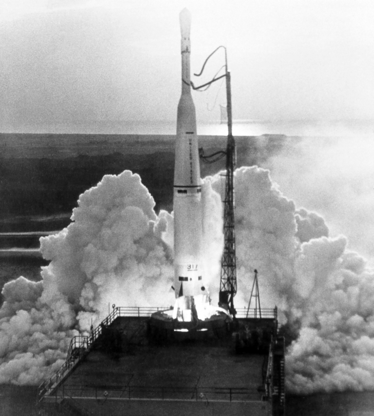
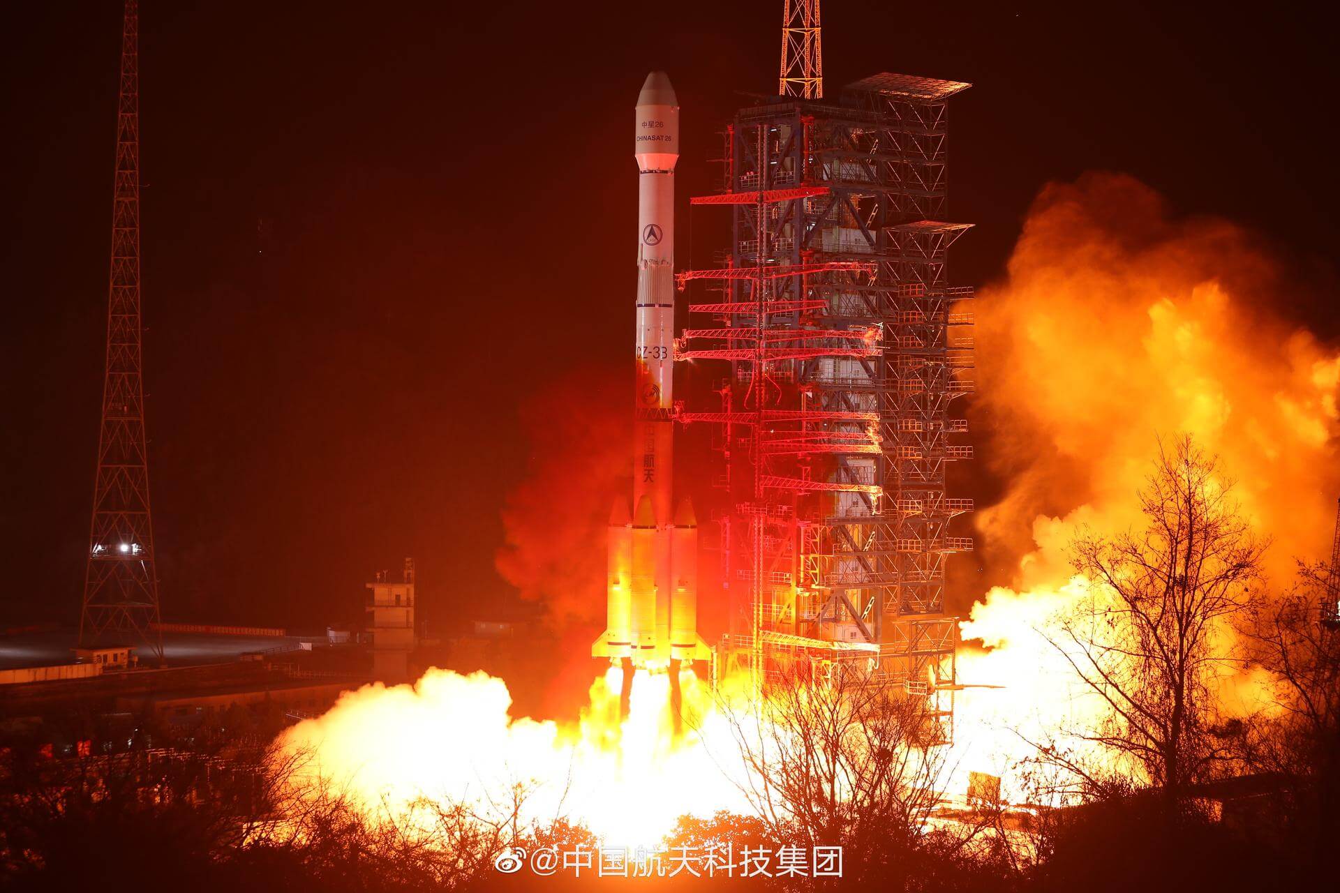
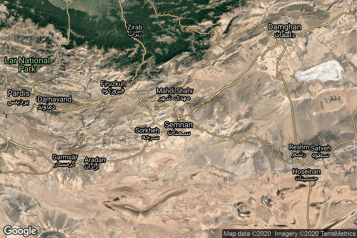
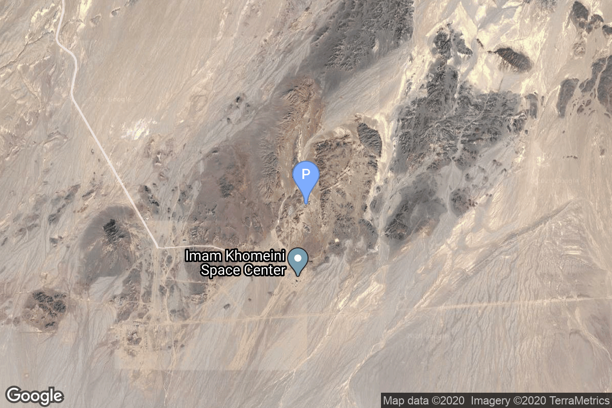
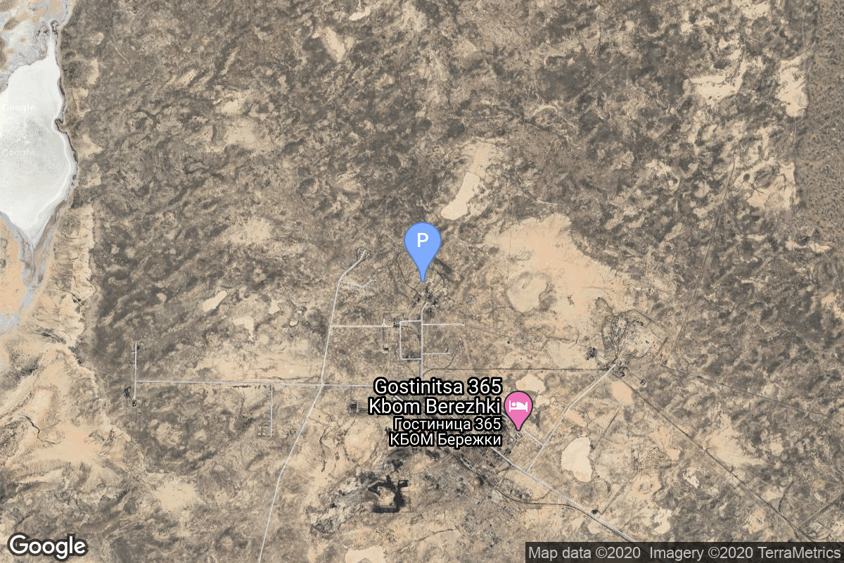
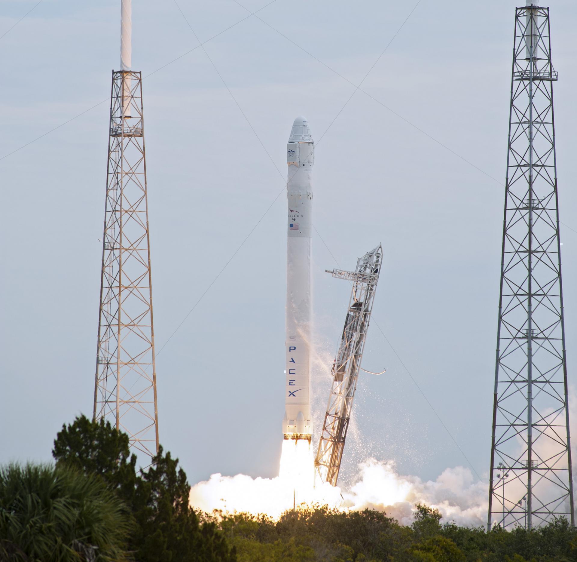
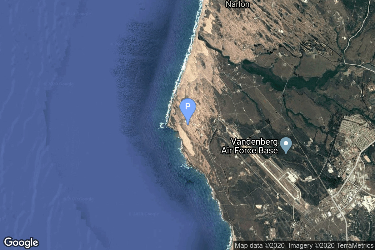
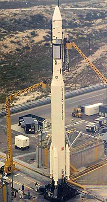
{ "count": 7803, "next": "https://ll.thespacedevs.com/2.0.0/launch/?format=api&limit=10&offset=130&ordering=id", "previous": "https://ll.thespacedevs.com/2.0.0/launch/?format=api&limit=10&offset=110&ordering=id", "results": [ { "id": "03f31be8-7d86-45a5-ba5b-bdeef2dac608", "url": "https://ll.thespacedevs.com/2.0.0/launch/03f31be8-7d86-45a5-ba5b-bdeef2dac608/?format=api", "launch_library_id": null, "slug": "thor-delta-telstar-1", "name": "Thor Delta | Telstar 1", "status": { "id": 3, "name": "Success" }, "net": "1962-07-10T08:35:05Z", "window_end": "1962-07-10T08:35:05Z", "window_start": "1962-07-10T08:35:05Z", "inhold": false, "tbdtime": false, "tbddate": false, "probability": null, "holdreason": "", "failreason": null, "hashtag": null, "launch_service_provider": { "id": 161, "url": "https://ll.thespacedevs.com/2.0.0/agencies/161/?format=api", "name": "United States Air Force", "type": "Government" }, "rocket": { "id": 3136, "configuration": { "id": 398, "launch_library_id": null, "url": "https://ll.thespacedevs.com/2.0.0/config/launcher/398/?format=api", "name": "Thor Delta", "family": "Thor", "full_name": "Thor Delta", "variant": "Delta" } }, "mission": { "id": 1558, "launch_library_id": null, "name": "Telstar 1", "description": "Communications satellite", "launch_designator": null, "type": "Communications", "orbit": { "id": 12, "name": "Medium Earth Orbit", "abbrev": "MEO" } }, "pad": { "id": 1, "url": "https://ll.thespacedevs.com/2.0.0/pad/1/?format=api", "agency_id": null, "name": "Space Launch Complex 17B", "info_url": null, "wiki_url": "https://en.wikipedia.org/wiki/Cape_Canaveral_Space_Launch_Complex_17", "map_url": "https://www.google.com/maps?q=28.4458,-80.5657", "latitude": "28.4458", "longitude": "-80.5657", "location": { "id": 12, "url": "https://ll.thespacedevs.com/2.0.0/location/12/?format=api", "name": "Cape Canaveral SFS, FL, USA", "country_code": "USA", "map_image": "https://thespacedevs-prod.nyc3.digitaloceanspaces.com/media/map_images/location_12_20200803142519.jpg", "total_launch_count": 1092, "total_landing_count": 71 }, "map_image": "https://thespacedevs-prod.nyc3.digitaloceanspaces.com/media/map_images/pad_1_20200803143208.jpg", "total_launch_count": 132 }, "webcast_live": false, "image": "https://thespacedevs-prod.nyc3.digitaloceanspaces.com/media/images/thor-delta_laun_image_20251123094044.jpg", "infographic": null, "program": [] }, { "id": "04018d3e-66d3-48c8-88f1-1c0719ae9103", "url": "https://ll.thespacedevs.com/2.0.0/launch/04018d3e-66d3-48c8-88f1-1c0719ae9103/?format=api", "launch_library_id": 751, "slug": "long-march-3be-nigcomsat-1r", "name": "Long March 3B/E | NigComSat-1R", "status": { "id": 3, "name": "Success" }, "net": "2011-12-19T16:41:03Z", "window_end": "2011-12-19T16:41:03Z", "window_start": "2011-12-19T16:41:03Z", "inhold": false, "tbdtime": false, "tbddate": false, "probability": null, "holdreason": "", "failreason": "", "hashtag": null, "launch_service_provider": { "id": 88, "url": "https://ll.thespacedevs.com/2.0.0/agencies/88/?format=api", "name": "China Aerospace Science and Technology Corporation", "type": "Government" }, "rocket": { "id": 1580, "configuration": { "id": 50, "launch_library_id": 69, "url": "https://ll.thespacedevs.com/2.0.0/config/launcher/50/?format=api", "name": "Long March 3B/E", "family": "Long March", "full_name": "Long March 3B/E", "variant": "B/E" } }, "mission": null, "pad": { "id": 45, "url": "https://ll.thespacedevs.com/2.0.0/pad/45/?format=api", "agency_id": null, "name": "Launch Complex 2 (LC-2)", "info_url": null, "wiki_url": "https://en.wikipedia.org/wiki/Xichang_Satellite_Launch_Center", "map_url": "https://www.google.com/maps?q=28.245564,102.026751", "latitude": "28.245564", "longitude": "102.026751", "location": { "id": 16, "url": "https://ll.thespacedevs.com/2.0.0/location/16/?format=api", "name": "Xichang Satellite Launch Center, People's Republic of China", "country_code": "CHN", "map_image": "https://thespacedevs-prod.nyc3.digitaloceanspaces.com/media/map_images/location_16_20200803142513.jpg", "total_launch_count": 237, "total_landing_count": 0 }, "map_image": "https://thespacedevs-prod.nyc3.digitaloceanspaces.com/media/map_images/pad_45_20200803143520.jpg", "total_launch_count": 124 }, "webcast_live": false, "image": "https://thespacedevs-prod.nyc3.digitaloceanspaces.com/media/images/long2520march_image_20230907120240.jpeg", "infographic": null, "program": [] }, { "id": "04073b47-8f05-404c-9435-6762138b99ca", "url": "https://ll.thespacedevs.com/2.0.0/launch/04073b47-8f05-404c-9435-6762138b99ca/?format=api", "launch_library_id": 647, "slug": "safir-1b-fajr-2", "name": "Safir 1B | Fajr", "status": { "id": 4, "name": "Failure" }, "net": "2012-09-22T00:00:00Z", "window_end": "2012-09-22T00:00:00Z", "window_start": "2012-09-22T00:00:00Z", "inhold": false, "tbdtime": false, "tbddate": false, "probability": null, "holdreason": "", "failreason": null, "hashtag": null, "launch_service_provider": { "id": 34, "url": "https://ll.thespacedevs.com/2.0.0/agencies/34/?format=api", "name": "Iranian Space Agency", "type": "Government" }, "rocket": { "id": 1632, "configuration": { "id": 74, "launch_library_id": 101, "url": "https://ll.thespacedevs.com/2.0.0/config/launcher/74/?format=api", "name": "Safir 1B", "family": "Nodong", "full_name": "Safir 1B", "variant": "1B" } }, "mission": null, "pad": { "id": 58, "url": "https://ll.thespacedevs.com/2.0.0/pad/58/?format=api", "agency_id": null, "name": "Safir Launch Pad", "info_url": null, "wiki_url": "https://en.wikipedia.org/wiki/Semnan_Space_Center#Circular_launch_platform", "map_url": "https://www.google.com/maps?q=35.23462,53.920936", "latitude": "35.23462", "longitude": "53.920936", "location": { "id": 2, "url": "https://ll.thespacedevs.com/2.0.0/location/2/?format=api", "name": "Semnan Space Center, Islamic Republic of Iran", "country_code": "IRN", "map_image": "https://thespacedevs-prod.nyc3.digitaloceanspaces.com/media/map_images/location_2_20200803142458.jpg", "total_launch_count": 15, "total_landing_count": 0 }, "map_image": "https://thespacedevs-prod.nyc3.digitaloceanspaces.com/media/map_images/pad_58_20200803143301.jpg", "total_launch_count": 8 }, "webcast_live": false, "image": null, "infographic": null, "program": [] }, { "id": "040d7230-9b68-4d2d-92b3-71db07faed16", "url": "https://ll.thespacedevs.com/2.0.0/launch/040d7230-9b68-4d2d-92b3-71db07faed16/?format=api", "launch_library_id": null, "slug": "tsiklon-2-is-gvm-1", "name": "Tsiklon-2 | IS-GVM 1", "status": { "id": 3, "name": "Success" }, "net": "1969-08-06T05:40:03Z", "window_end": "1969-08-06T05:40:03Z", "window_start": "1969-08-06T05:40:03Z", "inhold": false, "tbdtime": false, "tbddate": false, "probability": null, "holdreason": "", "failreason": null, "hashtag": null, "launch_service_provider": { "id": 66, "url": "https://ll.thespacedevs.com/2.0.0/agencies/66/?format=api", "name": "Soviet Space Program", "type": "Government" }, "rocket": { "id": 3929, "configuration": { "id": 443, "launch_library_id": null, "url": "https://ll.thespacedevs.com/2.0.0/config/launcher/443/?format=api", "name": "Tsiklon-2", "family": "Tsiklon", "full_name": "Tsiklon-2", "variant": "2" } }, "mission": { "id": 2347, "launch_library_id": null, "name": "IS-GVM 1", "description": "Mass model of the I2P interceptor satellites used on Tsiklon-2 test flights", "launch_designator": null, "type": "Test Flight", "orbit": { "id": 8, "name": "Low Earth Orbit", "abbrev": "LEO" } }, "pad": { "id": 133, "url": "https://ll.thespacedevs.com/2.0.0/pad/133/?format=api", "agency_id": null, "name": "90/19", "info_url": null, "wiki_url": "https://en.wikipedia.org/wiki/Baikonur_Cosmodrome_Site_90", "map_url": "https://www.google.com/maps?q=46.081,62.929806", "latitude": "46.081", "longitude": "62.929806", "location": { "id": 15, "url": "https://ll.thespacedevs.com/2.0.0/location/15/?format=api", "name": "Baikonur Cosmodrome, Republic of Kazakhstan", "country_code": "KAZ", "map_image": "https://thespacedevs-prod.nyc3.digitaloceanspaces.com/media/map_images/location_15_20200803142517.jpg", "total_launch_count": 1560, "total_landing_count": 0 }, "map_image": "https://thespacedevs-prod.nyc3.digitaloceanspaces.com/media/map_images/pad_133_20200803143315.jpg", "total_launch_count": 16 }, "webcast_live": false, "image": "https://thespacedevs-prod.nyc3.digitaloceanspaces.com/media/images/tsyklon-2_lifto_image_20240411113159.jpg", "infographic": null, "program": [] }, { "id": "04106da6-a43c-4fcf-9cae-4e97dfb37345", "url": "https://ll.thespacedevs.com/2.0.0/launch/04106da6-a43c-4fcf-9cae-4e97dfb37345/?format=api", "launch_library_id": 855, "slug": "falcon-9-v10-spacex-cots-demo-flight-1", "name": "Falcon 9 v1.0 | SpaceX COTS Demo Flight 1", "status": { "id": 3, "name": "Success" }, "net": "2010-12-08T15:43:00Z", "window_end": "2010-12-08T15:43:00Z", "window_start": "2010-12-08T15:43:00Z", "inhold": false, "tbdtime": false, "tbddate": false, "probability": null, "holdreason": "", "failreason": "", "hashtag": null, "launch_service_provider": { "id": 121, "url": "https://ll.thespacedevs.com/2.0.0/agencies/121/?format=api", "name": "SpaceX", "type": "Commercial" }, "rocket": { "id": 1501, "configuration": { "id": 169, "launch_library_id": 90, "url": "https://ll.thespacedevs.com/2.0.0/config/launcher/169/?format=api", "name": "Falcon 9", "family": "Falcon", "full_name": "Falcon 9 v1.0", "variant": "v1.0" } }, "mission": { "id": 409, "launch_library_id": 545, "name": "SpaceX COTS Demo Flight 1", "description": "SpaceX COTS Demo Flight 1 in 2010 was the unmanned first spaceflight of the SpaceX Dragon spacecraft, the Dragon C1, which orbited the Earth, and the second overall flight of the SpaceX Falcon 9. It was also the first demonstration flight for NASA's Commercial Orbital Transportation Services (COTS) program for which SpaceX was selected. The primary mission objectives were to test the orbital maneuvering and reentry of the Dragon capsule.", "launch_designator": null, "type": "Test Flight", "orbit": { "id": 8, "name": "Low Earth Orbit", "abbrev": "LEO" } }, "pad": { "id": 80, "url": "https://ll.thespacedevs.com/2.0.0/pad/80/?format=api", "agency_id": 121, "name": "Space Launch Complex 40", "info_url": null, "wiki_url": "https://en.wikipedia.org/wiki/Cape_Canaveral_Air_Force_Station_Space_Launch_Complex_40", "map_url": "https://www.google.com/maps?q=28.56194122,-80.57735736", "latitude": "28.56194122", "longitude": "-80.57735736", "location": { "id": 12, "url": "https://ll.thespacedevs.com/2.0.0/location/12/?format=api", "name": "Cape Canaveral SFS, FL, USA", "country_code": "USA", "map_image": "https://thespacedevs-prod.nyc3.digitaloceanspaces.com/media/map_images/location_12_20200803142519.jpg", "total_launch_count": 1092, "total_landing_count": 71 }, "map_image": "https://thespacedevs-prod.nyc3.digitaloceanspaces.com/media/map_images/pad_80_20200803143323.jpg", "total_launch_count": 369 }, "webcast_live": false, "image": "https://thespacedevs-prod.nyc3.digitaloceanspaces.com/media/images/falcon252092520v1.0_image_20190222030703.jpeg", "infographic": null, "program": [] }, { "id": "041184c7-1117-4b83-9f99-6d26c865d63d", "url": "https://ll.thespacedevs.com/2.0.0/launch/041184c7-1117-4b83-9f99-6d26c865d63d/?format=api", "launch_library_id": null, "slug": "thorad-slv-2g-agena-d-kh-4a-43", "name": "Thorad SLV-2G Agena D | KH-4A 43", "status": { "id": 3, "name": "Success" }, "net": "1967-08-07T21:44:00Z", "window_end": "1967-08-07T21:44:00Z", "window_start": "1967-08-07T21:44:00Z", "inhold": false, "tbdtime": false, "tbddate": false, "probability": null, "holdreason": "", "failreason": null, "hashtag": null, "launch_service_provider": { "id": 161, "url": "https://ll.thespacedevs.com/2.0.0/agencies/161/?format=api", "name": "United States Air Force", "type": "Government" }, "rocket": { "id": 3691, "configuration": { "id": 418, "launch_library_id": null, "url": "https://ll.thespacedevs.com/2.0.0/config/launcher/418/?format=api", "name": "Thorad SLV-2G Agena D", "family": "Thor", "full_name": "Thorad SLV-2G Agena D", "variant": "SLV-2G Agena D" } }, "mission": { "id": 2109, "launch_library_id": null, "name": "KH-4A 43", "description": "The KH-4A (Keyhole-4A) was the fifth optical reconnaissance satellite version in the Corona-program.", "launch_designator": null, "type": "Government/Top Secret", "orbit": { "id": 8, "name": "Low Earth Orbit", "abbrev": "LEO" } }, "pad": { "id": 96, "url": "https://ll.thespacedevs.com/2.0.0/pad/96/?format=api", "agency_id": 161, "name": "Space Launch Complex 1E", "info_url": null, "wiki_url": "https://en.wikipedia.org/wiki/Vandenberg_Space_Launch_Complex_1", "map_url": "https://www.google.com/maps?q=34.756,-120.6263", "latitude": "34.756", "longitude": "-120.6263", "location": { "id": 11, "url": "https://ll.thespacedevs.com/2.0.0/location/11/?format=api", "name": "Vandenberg SFB, CA, USA", "country_code": "USA", "map_image": "https://thespacedevs-prod.nyc3.digitaloceanspaces.com/media/map_images/location_11_20200803142416.jpg", "total_launch_count": 865, "total_landing_count": 33 }, "map_image": "https://thespacedevs-prod.nyc3.digitaloceanspaces.com/media/map_images/pad_96_20200803143221.jpg", "total_launch_count": 45 }, "webcast_live": false, "image": "https://thespacedevs-prod.nyc3.digitaloceanspaces.com/media/images/thorad-slv2g_ag_image_20251102061406.jpg", "infographic": null, "program": [] }, { "id": "04154b70-045b-4e3a-bb5a-e5436091ba37", "url": "https://ll.thespacedevs.com/2.0.0/launch/04154b70-045b-4e3a-bb5a-e5436091ba37/?format=api", "launch_library_id": null, "slug": "electron-victus-haze-puma", "name": "Electron | VICTUS HAZE Puma", "status": { "id": 2, "name": "TBD" }, "net": "2026-06-30T00:00:00Z", "window_end": "2026-06-30T00:00:00Z", "window_start": "2026-06-30T00:00:00Z", "inhold": false, "tbdtime": true, "tbddate": true, "probability": null, "holdreason": "", "failreason": "", "hashtag": null, "launch_service_provider": { "id": 147, "url": "https://ll.thespacedevs.com/2.0.0/agencies/147/?format=api", "name": "Rocket Lab", "type": "Commercial" }, "rocket": { "id": 8384, "configuration": { "id": 26, "launch_library_id": 148, "url": "https://ll.thespacedevs.com/2.0.0/config/launcher/26/?format=api", "name": "Electron", "family": "", "full_name": "Electron", "variant": "" } }, "mission": { "id": 6965, "launch_library_id": null, "name": "VICTUS HAZE Puma", "description": "VICTUS HAZE will see Rocket Lab design, build, launch, and operate a rendezvous proximity operation (RPO) capable spacecraft. U.S. Space Force Space Systems Command (SSC)’s Space Safari’s VICTUS HAZE mission will be an exercise of a realistic threat-response scenario and on-orbit space domain awareness (SDA) demonstration. Once the spacecraft build is complete, Rocket Lab will be entered into a Hot Standby Phase awaiting further direction. Once the exercise begins, Rocket Lab will be given notice to launch the spacecraft into a target orbit. After reaching orbit, the spacecraft will be rapidly commissioned and readied for operations. Rocket Lab will configure a Pioneer class spacecraft bus to meet the unique requirements of the VICTUS HAZE mission.\r\n\r\nThe mission will improve Tactically Responsive Space (TacRS) processes and timelines, demonstrating the ability to respond to on-orbit threats on very short timelines and validating techniques for space domain awareness (SDA) and on-orbit characterization. Rocket Lab’s constellation-class production capability and discriminating technical capabilities in the areas of in-space propulsion, precision attitude control, low latency communications, and autonomous operations are key enablers for this mission.", "launch_designator": null, "type": "Government/Top Secret", "orbit": { "id": 8, "name": "Low Earth Orbit", "abbrev": "LEO" } }, "pad": { "id": 210, "url": "https://ll.thespacedevs.com/2.0.0/pad/210/?format=api", "agency_id": null, "name": "Unknown Pad", "info_url": null, "wiki_url": null, "map_url": null, "latitude": "-39.260881", "longitude": "177.865826", "location": { "id": 10, "url": "https://ll.thespacedevs.com/2.0.0/location/10/?format=api", "name": "Rocket Lab Launch Complex 1, Mahia Peninsula, New Zealand", "country_code": "NZL", "map_image": "https://thespacedevs-prod.nyc3.digitaloceanspaces.com/media/map_images/location_10_20200803142509.jpg", "total_launch_count": 72, "total_landing_count": 17 }, "map_image": "https://thespacedevs-prod.nyc3.digitaloceanspaces.com/media/map_images/pad_210_20230819165718.jpg", "total_launch_count": 0 }, "webcast_live": false, "image": "https://thespacedevs-prod.nyc3.digitaloceanspaces.com/media/images/electron_image_20190705175640.jpeg", "infographic": null, "program": [] }, { "id": "0415b7cb-09a9-4d6c-b0a6-2af7a93674e4", "url": "https://ll.thespacedevs.com/2.0.0/launch/0415b7cb-09a9-4d6c-b0a6-2af7a93674e4/?format=api", "launch_library_id": null, "slug": "ariane-44l-sicral-1", "name": "Ariane 44L | SICRAL 1", "status": { "id": 3, "name": "Success" }, "net": "2001-02-07T23:05:10Z", "window_end": "2001-02-07T23:05:10Z", "window_start": "2001-02-07T23:05:10Z", "inhold": false, "tbdtime": false, "tbddate": false, "probability": null, "holdreason": "", "failreason": null, "hashtag": null, "launch_service_provider": { "id": 115, "url": "https://ll.thespacedevs.com/2.0.0/agencies/115/?format=api", "name": "Arianespace", "type": "Commercial" }, "rocket": { "id": 7033, "configuration": { "id": 225, "launch_library_id": null, "url": "https://ll.thespacedevs.com/2.0.0/config/launcher/225/?format=api", "name": "Ariane 44L", "family": "Ariane", "full_name": "Ariane 44L", "variant": "44L" } }, "mission": { "id": 5422, "launch_library_id": null, "name": "SICRAL 1", "description": "Sicral 1 is Italy’s satellite system for military communications.", "launch_designator": null, "type": "Government/Top Secret", "orbit": { "id": 3, "name": "Geosynchronous Orbit", "abbrev": "GSO" } }, "pad": { "id": 124, "url": "https://ll.thespacedevs.com/2.0.0/pad/124/?format=api", "agency_id": 115, "name": "Ariane Launch Area 2", "info_url": null, "wiki_url": "https://en.wikipedia.org/wiki/ELA-2", "map_url": "https://www.google.com/maps?q=5.232,-52.778194", "latitude": "5.232", "longitude": "-52.778194", "location": { "id": 13, "url": "https://ll.thespacedevs.com/2.0.0/location/13/?format=api", "name": "Guiana Space Centre, French Guiana", "country_code": "GUF", "map_image": "https://thespacedevs-prod.nyc3.digitaloceanspaces.com/media/map_images/location_13_20200803142412.jpg", "total_launch_count": 331, "total_landing_count": 0 }, "map_image": "https://thespacedevs-prod.nyc3.digitaloceanspaces.com/media/map_images/pad_124_20200803143241.jpg", "total_launch_count": 119 }, "webcast_live": false, "image": "https://thespacedevs-prod.nyc3.digitaloceanspaces.com/media/images/ariane_44l_at_e_image_20240401082337.jpg", "infographic": null, "program": [] }, { "id": "04165775-2818-4f44-93fe-3910d51e6eb9", "url": "https://ll.thespacedevs.com/2.0.0/launch/04165775-2818-4f44-93fe-3910d51e6eb9/?format=api", "launch_library_id": null, "slug": "kosmos-11k63-ds-p1-i-5", "name": "Kosmos 11K63 | DS-P1-I 5", "status": { "id": 3, "name": "Success" }, "net": "1969-03-28T16:00:08Z", "window_end": "1969-03-28T16:00:08Z", "window_start": "1969-03-28T16:00:08Z", "inhold": false, "tbdtime": false, "tbddate": false, "probability": null, "holdreason": "", "failreason": null, "hashtag": null, "launch_service_provider": { "id": 66, "url": "https://ll.thespacedevs.com/2.0.0/agencies/66/?format=api", "name": "Soviet Space Program", "type": "Government" }, "rocket": { "id": 3892, "configuration": { "id": 327, "launch_library_id": null, "url": "https://ll.thespacedevs.com/2.0.0/config/launcher/327/?format=api", "name": "Kosmos 11K63", "family": "Kosmos", "full_name": "Kosmos 11K63", "variant": "11K63" } }, "mission": { "id": 2310, "launch_library_id": null, "name": "DS-P1-I 5", "description": "The DS-P1-I series of satellites was used to calibrate space surveillance and early warning radars.", "launch_designator": null, "type": "Test Target", "orbit": { "id": 8, "name": "Low Earth Orbit", "abbrev": "LEO" } }, "pad": { "id": 3, "url": "https://ll.thespacedevs.com/2.0.0/pad/3/?format=api", "agency_id": 163, "name": "133/3 (133L)", "info_url": null, "wiki_url": "", "map_url": "https://www.google.com/maps?q=62.886999,40.846984", "latitude": "62.886999", "longitude": "40.846984", "location": { "id": 6, "url": "https://ll.thespacedevs.com/2.0.0/location/6/?format=api", "name": "Plesetsk Cosmodrome, Russian Federation", "country_code": "RUS", "map_image": "https://thespacedevs-prod.nyc3.digitaloceanspaces.com/media/map_images/location_6_20200803142434.jpg", "total_launch_count": 1681, "total_landing_count": 0 }, "map_image": "https://thespacedevs-prod.nyc3.digitaloceanspaces.com/media/map_images/pad_3_20200803143438.jpg", "total_launch_count": 159 }, "webcast_live": false, "image": "https://thespacedevs-prod.nyc3.digitaloceanspaces.com/media/images/kosmos_11k63_image_20251104091702.jpg", "infographic": null, "program": [] }, { "id": "0418fae1-1826-4970-a732-bda2bb679daf", "url": "https://ll.thespacedevs.com/2.0.0/launch/0418fae1-1826-4970-a732-bda2bb679daf/?format=api", "launch_library_id": null, "slug": "minotaur-i-tacsat-3", "name": "Minotaur I | Tacsat 3", "status": { "id": 3, "name": "Success" }, "net": "2009-05-19T23:55:00Z", "window_end": "2009-05-19T23:55:00Z", "window_start": "2009-05-19T23:55:00Z", "inhold": false, "tbdtime": false, "tbddate": false, "probability": null, "holdreason": "", "failreason": null, "hashtag": null, "launch_service_provider": { "id": 100, "url": "https://ll.thespacedevs.com/2.0.0/agencies/100/?format=api", "name": "Orbital Sciences Corporation", "type": "Commercial" }, "rocket": { "id": 7394, "configuration": { "id": 175, "launch_library_id": 19, "url": "https://ll.thespacedevs.com/2.0.0/config/launcher/175/?format=api", "name": "Minotaur I", "family": "Minotaur", "full_name": "Minotaur I", "variant": "" } }, "mission": { "id": 5783, "launch_library_id": null, "name": "Tacsat 3", "description": "American eyperimental imaging satellite part of an effort to develop modular spacecraft buses.", "launch_designator": null, "type": "Technology", "orbit": { "id": 8, "name": "Low Earth Orbit", "abbrev": "LEO" } }, "pad": { "id": 56, "url": "https://ll.thespacedevs.com/2.0.0/pad/56/?format=api", "agency_id": 44, "name": "Launch Area 0 B", "info_url": null, "wiki_url": "https://en.wikipedia.org/wiki/Mid-Atlantic_Regional_Spaceport_Launch_Pad_0#Pad-0B", "map_url": "https://www.google.com/maps?q=37.831,-75.4911", "latitude": "37.831", "longitude": "-75.4911", "location": { "id": 21, "url": "https://ll.thespacedevs.com/2.0.0/location/21/?format=api", "name": "Wallops Flight Facility, Virginia, USA", "country_code": "USA", "map_image": "https://thespacedevs-prod.nyc3.digitaloceanspaces.com/media/map_images/location_21_20200803142423.jpg", "total_launch_count": 85, "total_landing_count": 0 }, "map_image": "https://thespacedevs-prod.nyc3.digitaloceanspaces.com/media/map_images/pad_56_20200803143541.jpg", "total_launch_count": 8 }, "webcast_live": false, "image": "https://thespacedevs-prod.nyc3.digitaloceanspaces.com/media/images/minotaur2520i_image_20190224012247.jpeg", "infographic": null, "program": [] } ] }