Launch List
API endpoint that returns all Launch objects or a single launch.
EXAMPLE - /launch/
GET: Return a list of all Launch objects.
FILTERS: Fields - 'name', 'id(s)', 'lsp_id', 'lsp_name', 'serial_number', 'launcher_config__id', 'rocket__spacecraftflight__spacecraft__name'
MODE: 'normal', 'list', 'detailed' EXAMPLE: ?mode=list
SEARCH: Searches through the launch name, rocket name, launch agency, mission name & spacecraft name. EXAMPLE - ?search=SpaceX
GET /2.0.0/launch/?format=api&offset=1010&ordering=id
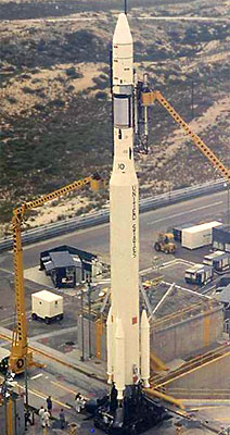
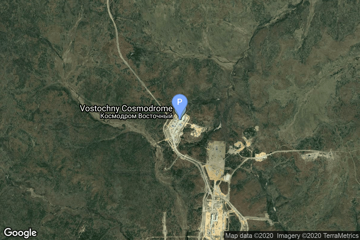
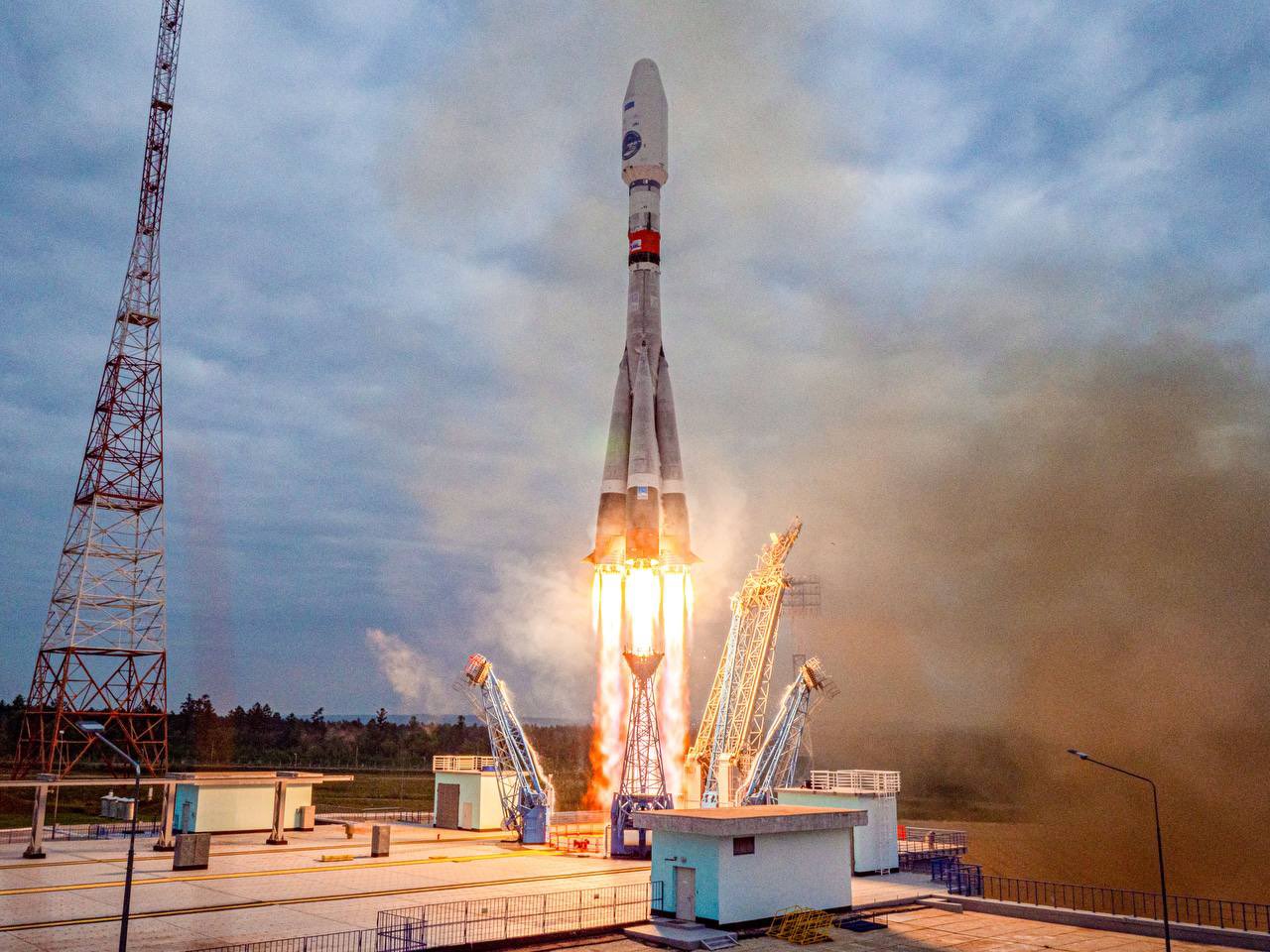
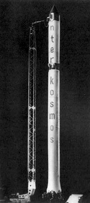
{ "count": 7672, "next": "https://ll.thespacedevs.com/2.0.0/launch/?format=api&limit=10&offset=1020&ordering=id", "previous": "https://ll.thespacedevs.com/2.0.0/launch/?format=api&limit=10&offset=1000&ordering=id", "results": [ { "id": "224b2d74-e20f-4b01-a062-533f3f755c55", "url": "https://ll.thespacedevs.com/2.0.0/launch/224b2d74-e20f-4b01-a062-533f3f755c55/?format=api", "launch_library_id": null, "slug": "thorad-slv-2g-agena-d-nimbus-3", "name": "Thorad SLV-2G Agena D | Nimbus 3", "status": { "id": 3, "name": "Success" }, "net": "1969-04-14T07:54:03Z", "window_end": "1969-04-14T07:54:03Z", "window_start": "1969-04-14T07:54:03Z", "inhold": false, "tbdtime": false, "tbddate": false, "probability": null, "holdreason": "", "failreason": null, "hashtag": null, "launch_service_provider": { "id": 161, "url": "https://ll.thespacedevs.com/2.0.0/agencies/161/?format=api", "name": "United States Air Force", "type": "Government" }, "rocket": { "id": 3899, "configuration": { "id": 418, "launch_library_id": null, "url": "https://ll.thespacedevs.com/2.0.0/config/launcher/418/?format=api", "name": "Thorad SLV-2G Agena D", "family": "Thor", "full_name": "Thorad SLV-2G Agena D", "variant": "SLV-2G Agena D" } }, "mission": { "id": 2317, "launch_library_id": null, "name": "Nimbus 3", "description": "Identical payload to the Nimbus-B meteorological R&D satellite which was lost due to a malfunction in the booster guidance system less than a year before. It was designed to serve as a stabilized, earth-oriented platform for the testing of advanced systems for sensing and collecting meteorological data. It was lost due to a malfunction in the booster guidance system.", "launch_designator": null, "type": "Earth Science", "orbit": { "id": 17, "name": "Sun-Synchronous Orbit", "abbrev": "SSO" } }, "pad": { "id": 98, "url": "https://ll.thespacedevs.com/2.0.0/pad/98/?format=api", "agency_id": 161, "name": "Space Launch Complex 2E", "info_url": null, "wiki_url": "https://en.wikipedia.org/wiki/Vandenberg_Space_Launch_Complex_2", "map_url": "https://www.google.com/maps?q=34.7516,-120.6192", "latitude": "34.7516", "longitude": "-120.6192", "location": { "id": 11, "url": "https://ll.thespacedevs.com/2.0.0/location/11/?format=api", "name": "Vandenberg SFB, CA, USA", "country_code": "USA", "map_image": "https://thespacedevs-prod.nyc3.digitaloceanspaces.com/media/map_images/location_11_20200803142416.jpg", "total_launch_count": 842, "total_landing_count": 29 }, "map_image": "https://thespacedevs-prod.nyc3.digitaloceanspaces.com/media/map_images/pad_98_20200803143228.jpg", "total_launch_count": 47 }, "webcast_live": false, "image": "https://thespacedevs-prod.nyc3.digitaloceanspaces.com/media/images/thorad-slv2g_ag_image_20251102061406.jpg", "infographic": null, "program": [] }, { "id": "224c8fb5-11a0-4bdf-a1d2-1b4ef197eec1", "url": "https://ll.thespacedevs.com/2.0.0/launch/224c8fb5-11a0-4bdf-a1d2-1b4ef197eec1/?format=api", "launch_library_id": 1380, "slug": "saturn-v-skylab-1", "name": "Saturn V | Skylab 1", "status": { "id": 3, "name": "Success" }, "net": "1973-05-14T17:30:00Z", "window_end": "1973-05-14T17:30:00Z", "window_start": "1973-05-14T17:30:00Z", "inhold": false, "tbdtime": false, "tbddate": false, "probability": null, "holdreason": "", "failreason": "", "hashtag": null, "launch_service_provider": { "id": 44, "url": "https://ll.thespacedevs.com/2.0.0/agencies/44/?format=api", "name": "National Aeronautics and Space Administration", "type": "Government" }, "rocket": { "id": 237, "configuration": { "id": 93, "launch_library_id": 136, "url": "https://ll.thespacedevs.com/2.0.0/config/launcher/93/?format=api", "name": "Saturn V", "family": "Saturn", "full_name": "Saturn V", "variant": "V" } }, "mission": null, "pad": { "id": 87, "url": "https://ll.thespacedevs.com/2.0.0/pad/87/?format=api", "agency_id": 121, "name": "Launch Complex 39A", "info_url": null, "wiki_url": "https://en.wikipedia.org/wiki/Kennedy_Space_Center_Launch_Complex_39#Launch_Pad_39A", "map_url": "https://www.google.com/maps?q=28.60822681,-80.60428186", "latitude": "28.60822681", "longitude": "-80.60428186", "location": { "id": 27, "url": "https://ll.thespacedevs.com/2.0.0/location/27/?format=api", "name": "Kennedy Space Center, FL, USA", "country_code": "USA", "map_image": "https://thespacedevs-prod.nyc3.digitaloceanspaces.com/media/map_images/location_27_20200803142447.jpg", "total_launch_count": 273, "total_landing_count": 0 }, "map_image": "https://thespacedevs-prod.nyc3.digitaloceanspaces.com/media/map_images/pad_87_20200803143537.jpg", "total_launch_count": 215 }, "webcast_live": false, "image": "https://thespacedevs-prod.nyc3.digitaloceanspaces.com/media/images/saturn2520v_image_20190222030036.jpeg", "infographic": null, "program": [ { "id": 13, "url": "https://ll.thespacedevs.com/2.0.0/program/13/?format=api", "name": "Skylab", "description": "Skylab was the first United States space station, launched by NASA, occupied for about 24 weeks between May 1973 and February 1974. It was operated by three separate three-astronaut crews: SL-2, SL-3 and SL-4. Major operations included an orbital workshop, a solar observatory, Earth observation, and hundreds of experiments.", "agencies": [ { "id": 44, "url": "https://ll.thespacedevs.com/2.0.0/agencies/44/?format=api", "name": "National Aeronautics and Space Administration", "type": "Government" } ], "image_url": "https://thespacedevs-prod.nyc3.digitaloceanspaces.com/media/images/skylab_program_20240305184407.png", "start_date": "1973-05-14T17:30:00Z", "end_date": "1979-07-11T16:37:00Z", "info_url": "https://www.nasa.gov/mission_pages/skylab/", "wiki_url": "https://en.wikipedia.org/wiki/Skylab" } ] }, { "id": "2277b184-5a07-4a71-90ce-367f41420eaa", "url": "https://ll.thespacedevs.com/2.0.0/launch/2277b184-5a07-4a71-90ce-367f41420eaa/?format=api", "launch_library_id": 2056, "slug": "soyuz-21bfregat-m-luna-25", "name": "Soyuz 2.1b/Fregat-M | Luna 25", "status": { "id": 3, "name": "Success" }, "net": "2023-08-10T23:10:57Z", "window_end": "2023-08-10T23:10:57Z", "window_start": "2023-08-10T23:10:57Z", "inhold": false, "tbdtime": false, "tbddate": false, "probability": null, "holdreason": "", "failreason": "", "hashtag": null, "launch_service_provider": { "id": 63, "url": "https://ll.thespacedevs.com/2.0.0/agencies/63/?format=api", "name": "Russian Federal Space Agency (ROSCOSMOS)", "type": "Government" }, "rocket": { "id": 2703, "configuration": { "id": 134, "launch_library_id": 153, "url": "https://ll.thespacedevs.com/2.0.0/config/launcher/134/?format=api", "name": "Soyuz 2.1b/Fregat-M", "family": "Soyuz", "full_name": "Soyuz 2.1b Fregat-M", "variant": "Fregat-M" } }, "mission": { "id": 6360, "launch_library_id": null, "name": "Luna 25", "description": "Luna 25 (ex-Luna-Glob) was a lunar lander mission by the Russian Federal Space Agency (Roscosmos) that crashed into the lunar surface after an anomalous orbital maneuver placed it on a collision trajectory towards the Moon. It was scheduled to land near the lunar south pole at the Boguslavsky crater to prove lunar landing technology. The mission carried 30 kg of scientific instruments, including a robotic arm for soil samples and possible drilling hardware. It was planned to remain active for at least one year on the lunar surface.", "launch_designator": null, "type": "Lunar Exploration", "orbit": { "id": 11, "name": "Lunar Orbit", "abbrev": "LO" } }, "pad": { "id": 83, "url": "https://ll.thespacedevs.com/2.0.0/pad/83/?format=api", "agency_id": 63, "name": "Cosmodrome Site 1S", "info_url": null, "wiki_url": "https://en.wikipedia.org/wiki/Vostochny_Cosmodrome", "map_url": "https://www.google.com/maps?q=51.884395,128.333932", "latitude": "51.884395", "longitude": "128.333932", "location": { "id": 18, "url": "https://ll.thespacedevs.com/2.0.0/location/18/?format=api", "name": "Vostochny Cosmodrome, Siberia, Russian Federation", "country_code": "RUS", "map_image": "https://thespacedevs-prod.nyc3.digitaloceanspaces.com/media/map_images/location_18_20200803142401.jpg", "total_launch_count": 20, "total_landing_count": 0 }, "map_image": "https://thespacedevs-prod.nyc3.digitaloceanspaces.com/media/map_images/pad_83_20200803143544.jpg", "total_launch_count": 19 }, "webcast_live": false, "image": "https://thespacedevs-prod.nyc3.digitaloceanspaces.com/media/images/soyuz25202.1b_image_20230811103805.jpeg", "infographic": null, "program": [] }, { "id": "227b609d-a73d-4794-aa2a-d86ff2da2f4a", "url": "https://ll.thespacedevs.com/2.0.0/launch/227b609d-a73d-4794-aa2a-d86ff2da2f4a/?format=api", "launch_library_id": null, "slug": "vostok-8a92-zenit-2-10", "name": "Vostok 8A92 | Zenit-2 10", "status": { "id": 3, "name": "Success" }, "net": "1963-04-28T08:49:56Z", "window_end": "1963-04-28T08:49:56Z", "window_start": "1963-04-28T08:49:56Z", "inhold": false, "tbdtime": false, "tbddate": false, "probability": null, "holdreason": "", "failreason": null, "hashtag": null, "launch_service_provider": { "id": 66, "url": "https://ll.thespacedevs.com/2.0.0/agencies/66/?format=api", "name": "Soviet Space Program", "type": "Government" }, "rocket": { "id": 3199, "configuration": { "id": 451, "launch_library_id": null, "url": "https://ll.thespacedevs.com/2.0.0/config/launcher/451/?format=api", "name": "Vostok 8A92", "family": "Vostok", "full_name": "Vostok 8A92", "variant": "8A92" } }, "mission": { "id": 1621, "launch_library_id": null, "name": "Zenit-2 10", "description": "Zenit-2 film-return and ELINT reconnaissance satellite.", "launch_designator": null, "type": "Government/Top Secret", "orbit": { "id": 8, "name": "Low Earth Orbit", "abbrev": "LEO" } }, "pad": { "id": 32, "url": "https://ll.thespacedevs.com/2.0.0/pad/32/?format=api", "agency_id": null, "name": "1/5", "info_url": null, "wiki_url": "", "map_url": "https://www.google.com/maps?q=45.92,63.342", "latitude": "45.92", "longitude": "63.342", "location": { "id": 15, "url": "https://ll.thespacedevs.com/2.0.0/location/15/?format=api", "name": "Baikonur Cosmodrome, Republic of Kazakhstan", "country_code": "KAZ", "map_image": "https://thespacedevs-prod.nyc3.digitaloceanspaces.com/media/map_images/location_15_20200803142517.jpg", "total_launch_count": 1558, "total_landing_count": 0 }, "map_image": "https://thespacedevs-prod.nyc3.digitaloceanspaces.com/media/map_images/pad_32_20200803143513.jpg", "total_launch_count": 487 }, "webcast_live": false, "image": null, "infographic": null, "program": [] }, { "id": "227dafbb-5151-4928-8f49-fa36e093dab1", "url": "https://ll.thespacedevs.com/2.0.0/launch/227dafbb-5151-4928-8f49-fa36e093dab1/?format=api", "launch_library_id": null, "slug": "kosmos-11k63-ds-p1-yu-51", "name": "Kosmos 11K63 | DS-P1-Yu 51", "status": { "id": 3, "name": "Success" }, "net": "1972-03-25T10:39:59Z", "window_end": "1972-03-25T10:39:59Z", "window_start": "1972-03-25T10:39:59Z", "inhold": false, "tbdtime": false, "tbddate": false, "probability": null, "holdreason": "", "failreason": null, "hashtag": null, "launch_service_provider": { "id": 66, "url": "https://ll.thespacedevs.com/2.0.0/agencies/66/?format=api", "name": "Soviet Space Program", "type": "Government" }, "rocket": { "id": 4240, "configuration": { "id": 327, "launch_library_id": null, "url": "https://ll.thespacedevs.com/2.0.0/config/launcher/327/?format=api", "name": "Kosmos 11K63", "family": "Kosmos", "full_name": "Kosmos 11K63", "variant": "11K63" } }, "mission": { "id": 2658, "launch_library_id": null, "name": "DS-P1-Yu 51", "description": "The DS-P1-Yu series of satellites was used to calibrate space surveillance and early warning radars.", "launch_designator": null, "type": "Test Target", "orbit": { "id": 8, "name": "Low Earth Orbit", "abbrev": "LEO" } }, "pad": { "id": 3, "url": "https://ll.thespacedevs.com/2.0.0/pad/3/?format=api", "agency_id": 163, "name": "133/3 (133L)", "info_url": null, "wiki_url": "", "map_url": "https://www.google.com/maps?q=62.886999,40.846984", "latitude": "62.886999", "longitude": "40.846984", "location": { "id": 6, "url": "https://ll.thespacedevs.com/2.0.0/location/6/?format=api", "name": "Plesetsk Cosmodrome, Russian Federation", "country_code": "RUS", "map_image": "https://thespacedevs-prod.nyc3.digitaloceanspaces.com/media/map_images/location_6_20200803142434.jpg", "total_launch_count": 1678, "total_landing_count": 0 }, "map_image": "https://thespacedevs-prod.nyc3.digitaloceanspaces.com/media/map_images/pad_3_20200803143438.jpg", "total_launch_count": 159 }, "webcast_live": false, "image": "https://thespacedevs-prod.nyc3.digitaloceanspaces.com/media/images/kosmos_11k63_image_20251104091702.jpg", "infographic": null, "program": [] }, { "id": "2299562f-2266-4f95-b050-35c3dac3d692", "url": "https://ll.thespacedevs.com/2.0.0/launch/2299562f-2266-4f95-b050-35c3dac3d692/?format=api", "launch_library_id": 560, "slug": "ariane-5-eca-eutelsat-25b-eshail-1-gsat-7", "name": "Ariane 5 ECA | Eutelsat 25B / Es'hail 1 & GSAT-7", "status": { "id": 3, "name": "Success" }, "net": "2013-08-29T20:30:07Z", "window_end": "2013-08-29T20:30:07Z", "window_start": "2013-08-29T20:30:07Z", "inhold": false, "tbdtime": false, "tbddate": false, "probability": null, "holdreason": "", "failreason": null, "hashtag": null, "launch_service_provider": { "id": 115, "url": "https://ll.thespacedevs.com/2.0.0/agencies/115/?format=api", "name": "Arianespace", "type": "Commercial" }, "rocket": { "id": 902, "configuration": { "id": 20, "launch_library_id": 27, "url": "https://ll.thespacedevs.com/2.0.0/config/launcher/20/?format=api", "name": "Ariane 5 ECA", "family": "Ariane", "full_name": "Ariane 5 ECA", "variant": "ECA" } }, "mission": { "id": 630, "launch_library_id": 822, "name": "Eutelsat 25B / Es'hail 1 & GSAT-7", "description": "Eutelsat 25B / Es'hail 1 is built by SSL and operates in geostationary orbit at 25.5 degrees East. GSAT-7 is a multi-band military communications satellite developed by ISRO for the Indian Navy. It operates at 74 drgees East.", "launch_designator": null, "type": "Communications", "orbit": { "id": 2, "name": "Geostationary Transfer Orbit", "abbrev": "GTO" } }, "pad": { "id": 77, "url": "https://ll.thespacedevs.com/2.0.0/pad/77/?format=api", "agency_id": 115, "name": "Ariane Launch Area 3", "info_url": null, "wiki_url": "https://en.wikipedia.org/wiki/ELA-3", "map_url": "https://www.google.com/maps?q=5.239,-52.768", "latitude": "5.239", "longitude": "-52.768", "location": { "id": 13, "url": "https://ll.thespacedevs.com/2.0.0/location/13/?format=api", "name": "Guiana Space Centre, French Guiana", "country_code": "GUF", "map_image": "https://thespacedevs-prod.nyc3.digitaloceanspaces.com/media/map_images/location_13_20200803142412.jpg", "total_launch_count": 328, "total_landing_count": 0 }, "map_image": "https://thespacedevs-prod.nyc3.digitaloceanspaces.com/media/map_images/pad_77_20200803143458.jpg", "total_launch_count": 118 }, "webcast_live": false, "image": "https://thespacedevs-prod.nyc3.digitaloceanspaces.com/media/images/ariane252052520eca_image_20190224012333.jpeg", "infographic": null, "program": [] }, { "id": "229a1cec-d1bb-43f5-ba21-4efac0ecd6cf", "url": "https://ll.thespacedevs.com/2.0.0/launch/229a1cec-d1bb-43f5-ba21-4efac0ecd6cf/?format=api", "launch_library_id": null, "slug": "kosmos-3m-tselina-o-30", "name": "Kosmos-3M | Tselina-O 30", "status": { "id": 3, "name": "Success" }, "net": "1976-01-22T22:26:01Z", "window_end": "1976-01-22T22:26:01Z", "window_start": "1976-01-22T22:26:01Z", "inhold": false, "tbdtime": false, "tbddate": false, "probability": null, "holdreason": "", "failreason": null, "hashtag": null, "launch_service_provider": { "id": 66, "url": "https://ll.thespacedevs.com/2.0.0/agencies/66/?format=api", "name": "Soviet Space Program", "type": "Government" }, "rocket": { "id": 4669, "configuration": { "id": 102, "launch_library_id": 122, "url": "https://ll.thespacedevs.com/2.0.0/config/launcher/102/?format=api", "name": "Kosmos-3M", "family": "Kosmos", "full_name": "Kosmos-3M (11K65M)", "variant": "-3M" } }, "mission": { "id": 3087, "launch_library_id": null, "name": "Tselina-O 30", "description": "The Tselina-O (11F616) was one component of two-satellite Tselina ELINT satellite system. Tselina-O provided general ELINT surveillance to be examined in detail by the larger Tselina-D satellites.", "launch_designator": null, "type": "Government/Top Secret", "orbit": { "id": 8, "name": "Low Earth Orbit", "abbrev": "LEO" } }, "pad": { "id": 28, "url": "https://ll.thespacedevs.com/2.0.0/pad/28/?format=api", "agency_id": 163, "name": "132/1 (132L)", "info_url": null, "wiki_url": "", "map_url": "https://www.google.com/maps?q=62.883229,40.868549", "latitude": "62.883229", "longitude": "40.868549", "location": { "id": 6, "url": "https://ll.thespacedevs.com/2.0.0/location/6/?format=api", "name": "Plesetsk Cosmodrome, Russian Federation", "country_code": "RUS", "map_image": "https://thespacedevs-prod.nyc3.digitaloceanspaces.com/media/map_images/location_6_20200803142434.jpg", "total_launch_count": 1678, "total_landing_count": 0 }, "map_image": "https://thespacedevs-prod.nyc3.digitaloceanspaces.com/media/map_images/pad_28_20200803143254.jpg", "total_launch_count": 212 }, "webcast_live": false, "image": "https://thespacedevs-prod.nyc3.digitaloceanspaces.com/media/images/kosmos-3m_durin_image_20251101171325.jpg", "infographic": null, "program": [] }, { "id": "229df13d-5ee5-486b-a506-1830abba729d", "url": "https://ll.thespacedevs.com/2.0.0/launch/229df13d-5ee5-486b-a506-1830abba729d/?format=api", "launch_library_id": null, "slug": "proton-kdm-2m-ekspress-3a", "name": "Proton-K/DM-2M | Ekspress 3A", "status": { "id": 3, "name": "Success" }, "net": "2000-06-24T00:28:00Z", "window_end": "2000-06-24T00:28:00Z", "window_start": "2000-06-24T00:28:00Z", "inhold": false, "tbdtime": false, "tbddate": false, "probability": null, "holdreason": "", "failreason": null, "hashtag": null, "launch_service_provider": { "id": 96, "url": "https://ll.thespacedevs.com/2.0.0/agencies/96/?format=api", "name": "Khrunichev State Research and Production Space Center", "type": "Government" }, "rocket": { "id": 6989, "configuration": { "id": 350, "launch_library_id": null, "url": "https://ll.thespacedevs.com/2.0.0/config/launcher/350/?format=api", "name": "Proton-K/DM-2M", "family": "Proton / UR-500", "full_name": "Proton-K/DM-2M", "variant": "DM-2M" } }, "mission": { "id": 5378, "launch_library_id": null, "name": "Ekspress 3A", "description": "Express-A satellites are designed for operation in the fixed satellite service. Their transponder payloads make it possible to retransmit all types of traffic, including television and radio programming, telephony, data, videoconferencing as well as high-speed Internet.", "launch_designator": null, "type": "Communications", "orbit": { "id": 1, "name": "Geostationary Orbit", "abbrev": "Direct-GEO" } }, "pad": { "id": 15, "url": "https://ll.thespacedevs.com/2.0.0/pad/15/?format=api", "agency_id": null, "name": "200/39 (200L)", "info_url": null, "wiki_url": "", "map_url": "https://www.google.com/maps?q=46.039984,63.032093", "latitude": "46.039984", "longitude": "63.032093", "location": { "id": 15, "url": "https://ll.thespacedevs.com/2.0.0/location/15/?format=api", "name": "Baikonur Cosmodrome, Republic of Kazakhstan", "country_code": "KAZ", "map_image": "https://thespacedevs-prod.nyc3.digitaloceanspaces.com/media/map_images/location_15_20200803142517.jpg", "total_launch_count": 1558, "total_landing_count": 0 }, "map_image": "https://thespacedevs-prod.nyc3.digitaloceanspaces.com/media/map_images/pad_15_20200803143530.jpg", "total_launch_count": 167 }, "webcast_live": false, "image": "https://thespacedevs-prod.nyc3.digitaloceanspaces.com/media/images/proton_image_20231231095535.jpg", "infographic": null, "program": [] }, { "id": "22a27d95-f9f4-4eaf-b890-4b473d3bb474", "url": "https://ll.thespacedevs.com/2.0.0/launch/22a27d95-f9f4-4eaf-b890-4b473d3bb474/?format=api", "launch_library_id": null, "slug": "titan-iiid-kh-9-2", "name": "Titan IIID | KH-9 2", "status": { "id": 3, "name": "Success" }, "net": "1972-01-20T18:36:00Z", "window_end": "1972-01-20T18:36:00Z", "window_start": "1972-01-20T18:36:00Z", "inhold": false, "tbdtime": false, "tbddate": false, "probability": null, "holdreason": "", "failreason": null, "hashtag": null, "launch_service_provider": { "id": 161, "url": "https://ll.thespacedevs.com/2.0.0/agencies/161/?format=api", "name": "United States Air Force", "type": "Government" }, "rocket": { "id": 4221, "configuration": { "id": 440, "launch_library_id": null, "url": "https://ll.thespacedevs.com/2.0.0/config/launcher/440/?format=api", "name": "Titan IIID", "family": "Titan", "full_name": "Titan IIID", "variant": "IIID" } }, "mission": { "id": 2639, "launch_library_id": null, "name": "KH-9 2", "description": "Large reconnaissance satellite equipped with four return capsules.", "launch_designator": null, "type": "Government/Top Secret", "orbit": { "id": 8, "name": "Low Earth Orbit", "abbrev": "LEO" } }, "pad": { "id": 16, "url": "https://ll.thespacedevs.com/2.0.0/pad/16/?format=api", "agency_id": null, "name": "Space Launch Complex 4E", "info_url": null, "wiki_url": "https://en.wikipedia.org/wiki/Vandenberg_Space_Launch_Complex_4#SLC-4E", "map_url": "https://www.google.com/maps?q=34.632,-120.611", "latitude": "34.632", "longitude": "-120.611", "location": { "id": 11, "url": "https://ll.thespacedevs.com/2.0.0/location/11/?format=api", "name": "Vandenberg SFB, CA, USA", "country_code": "USA", "map_image": "https://thespacedevs-prod.nyc3.digitaloceanspaces.com/media/map_images/location_11_20200803142416.jpg", "total_launch_count": 842, "total_landing_count": 29 }, "map_image": "https://thespacedevs-prod.nyc3.digitaloceanspaces.com/media/map_images/pad_16_20200803143532.jpg", "total_launch_count": 228 }, "webcast_live": false, "image": null, "infographic": null, "program": [] }, { "id": "22a6f1ed-afcd-455d-9316-5aaf8f39e864", "url": "https://ll.thespacedevs.com/2.0.0/launch/22a6f1ed-afcd-455d-9316-5aaf8f39e864/?format=api", "launch_library_id": null, "slug": "long-march-2d-skysight-as-01-to-03-lingxi-03", "name": "Long March 2D | Skysight AS-01 to 03 & Lingxi-03", "status": { "id": 3, "name": "Success" }, "net": "2023-07-23T02:50:00Z", "window_end": "2023-07-23T03:20:00Z", "window_start": "2023-07-23T02:41:00Z", "inhold": false, "tbdtime": false, "tbddate": false, "probability": null, "holdreason": "", "failreason": "", "hashtag": null, "launch_service_provider": { "id": 88, "url": "https://ll.thespacedevs.com/2.0.0/agencies/88/?format=api", "name": "China Aerospace Science and Technology Corporation", "type": "Government" }, "rocket": { "id": 7957, "configuration": { "id": 17, "launch_library_id": 73, "url": "https://ll.thespacedevs.com/2.0.0/config/launcher/17/?format=api", "name": "Long March 2D", "family": "Long March", "full_name": "Long March 2D", "variant": "2D" } }, "mission": { "id": 6475, "launch_library_id": null, "name": "Skysight AS-01 to 03 & Lingxi-03", "description": "Skysight AS-01 to 03: 3 Earth observation satellites by Skysight, including optical, radar and infrared observation capabilities.\r\n\r\nLingxi-03: Flat-panel satellite bus LEO communication demonstration satellite for Galaxy Space.", "launch_designator": null, "type": "Earth Science", "orbit": { "id": 17, "name": "Sun-Synchronous Orbit", "abbrev": "SSO" } }, "pad": { "id": 25, "url": "https://ll.thespacedevs.com/2.0.0/pad/25/?format=api", "agency_id": null, "name": "Launch Complex 9", "info_url": null, "wiki_url": null, "map_url": "https://www.google.com/maps?q=38.863128,111.589567", "latitude": "38.863128", "longitude": "111.589567", "location": { "id": 19, "url": "https://ll.thespacedevs.com/2.0.0/location/19/?format=api", "name": "Taiyuan Satellite Launch Center, People's Republic of China", "country_code": "CHN", "map_image": "https://thespacedevs-prod.nyc3.digitaloceanspaces.com/media/map_images/location_19_20200803142421.jpg", "total_launch_count": 147, "total_landing_count": 0 }, "map_image": "https://thespacedevs-prod.nyc3.digitaloceanspaces.com/media/map_images/pad_25_20200803143501.jpg", "total_launch_count": 76 }, "webcast_live": false, "image": "https://thespacedevs-prod.nyc3.digitaloceanspaces.com/media/images/long2520march_image_20230723045115.jpeg", "infographic": null, "program": [] } ] }