Launch List
API endpoint that returns all Launch objects or a single launch.
EXAMPLE - /launch/
GET: Return a list of all Launch objects.
FILTERS: Fields - 'name', 'id(s)', 'lsp_id', 'lsp_name', 'serial_number', 'launcher_config__id', 'rocket__spacecraftflight__spacecraft__name'
MODE: 'normal', 'list', 'detailed' EXAMPLE: ?mode=list
SEARCH: Searches through the launch name, rocket name, launch agency, mission name & spacecraft name. EXAMPLE - ?search=SpaceX
GET /2.0.0/launch/?format=api&offset=1010&ordering=-id
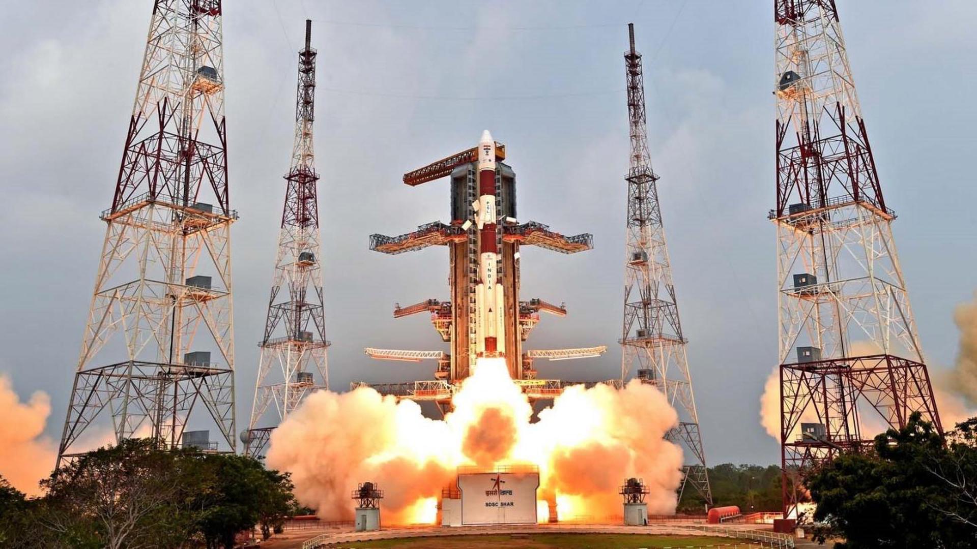
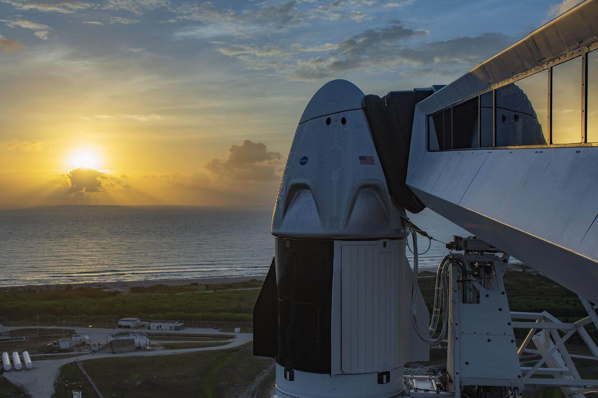
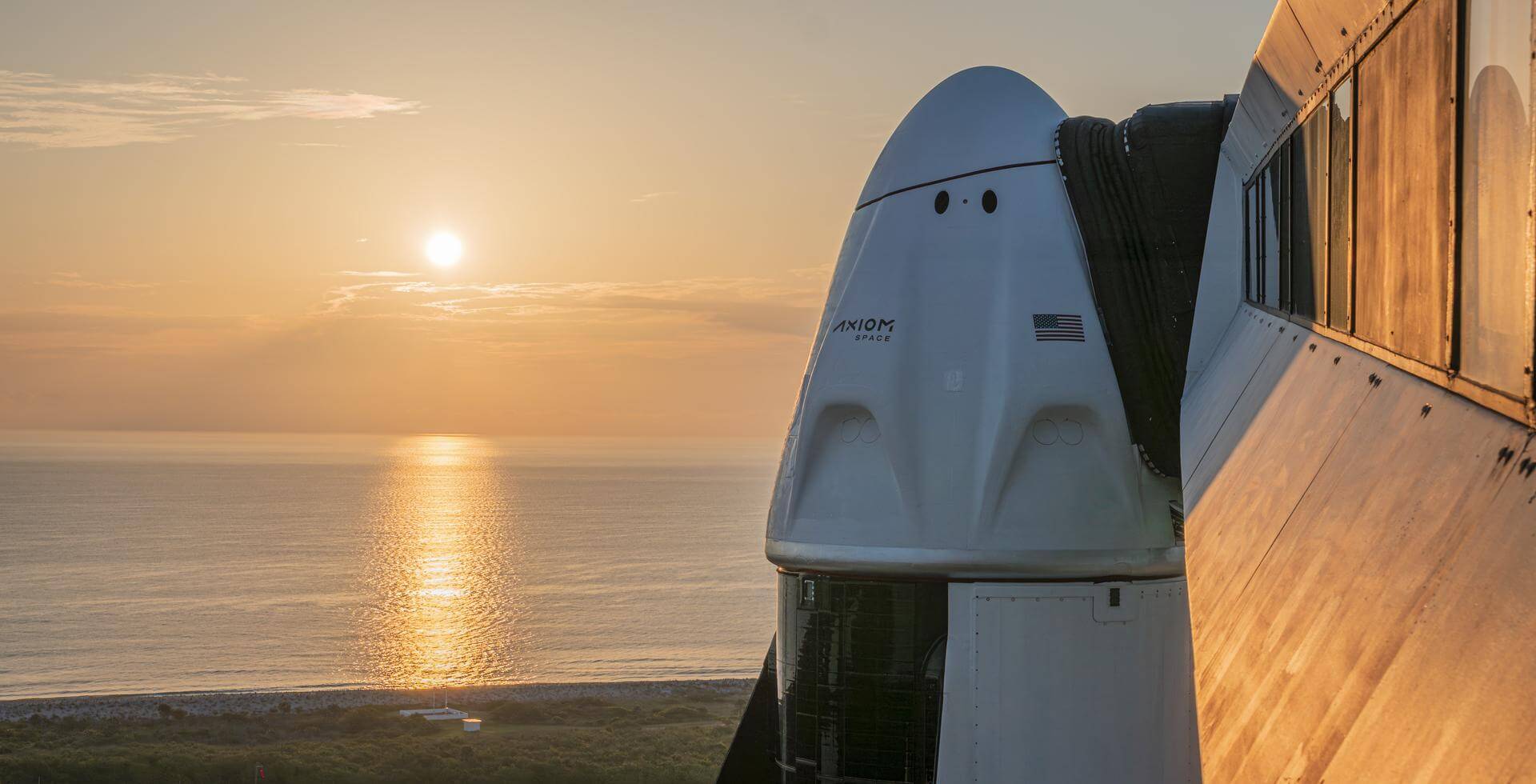
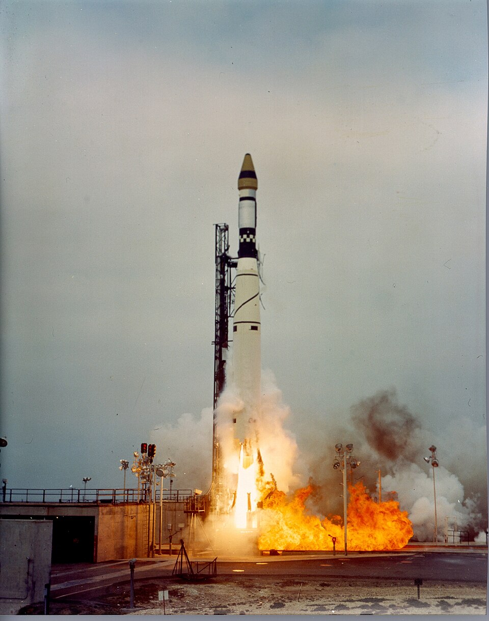
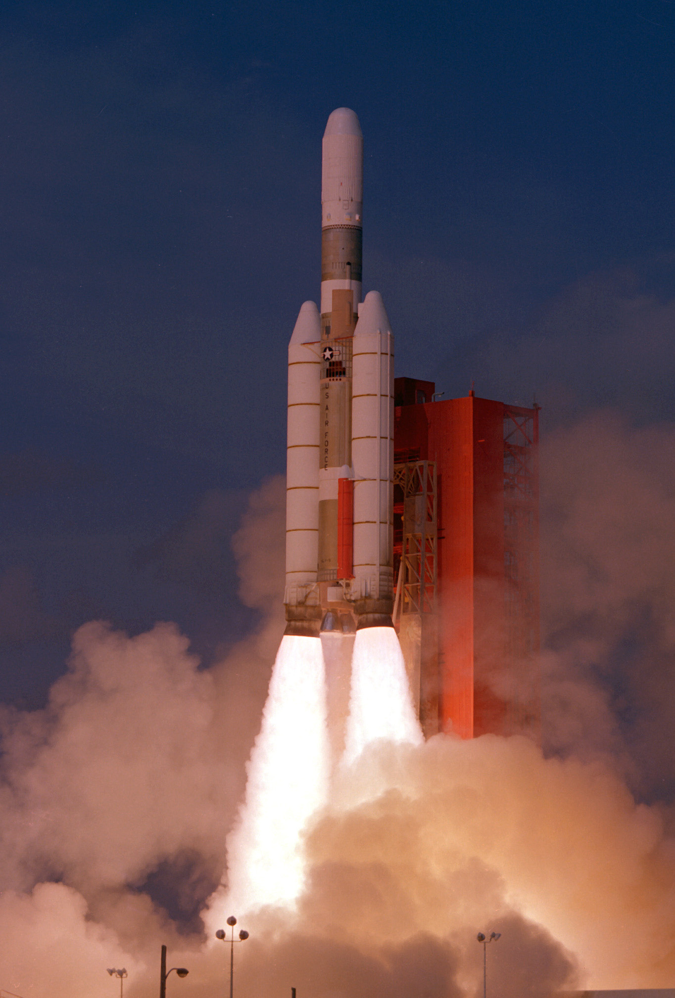
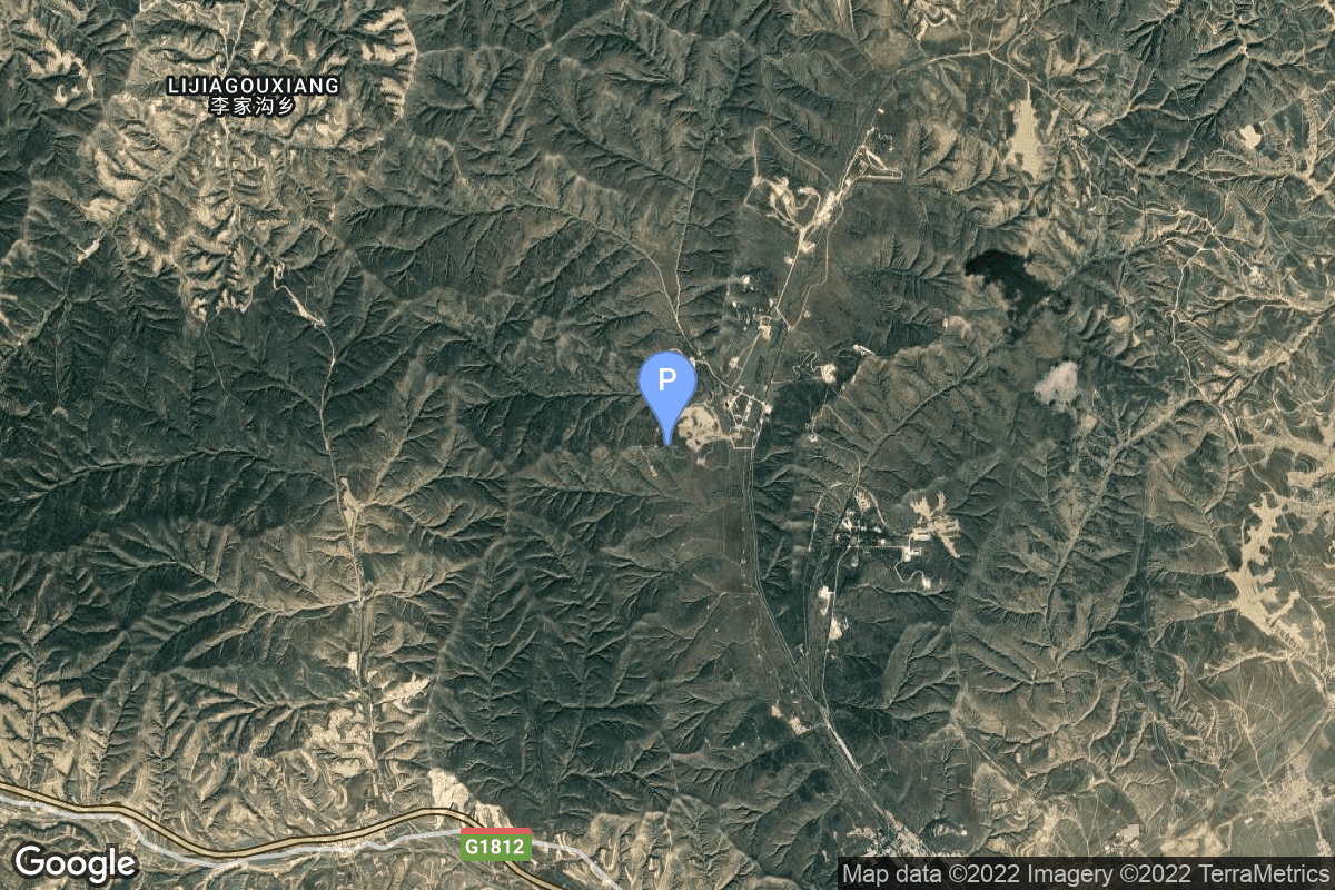
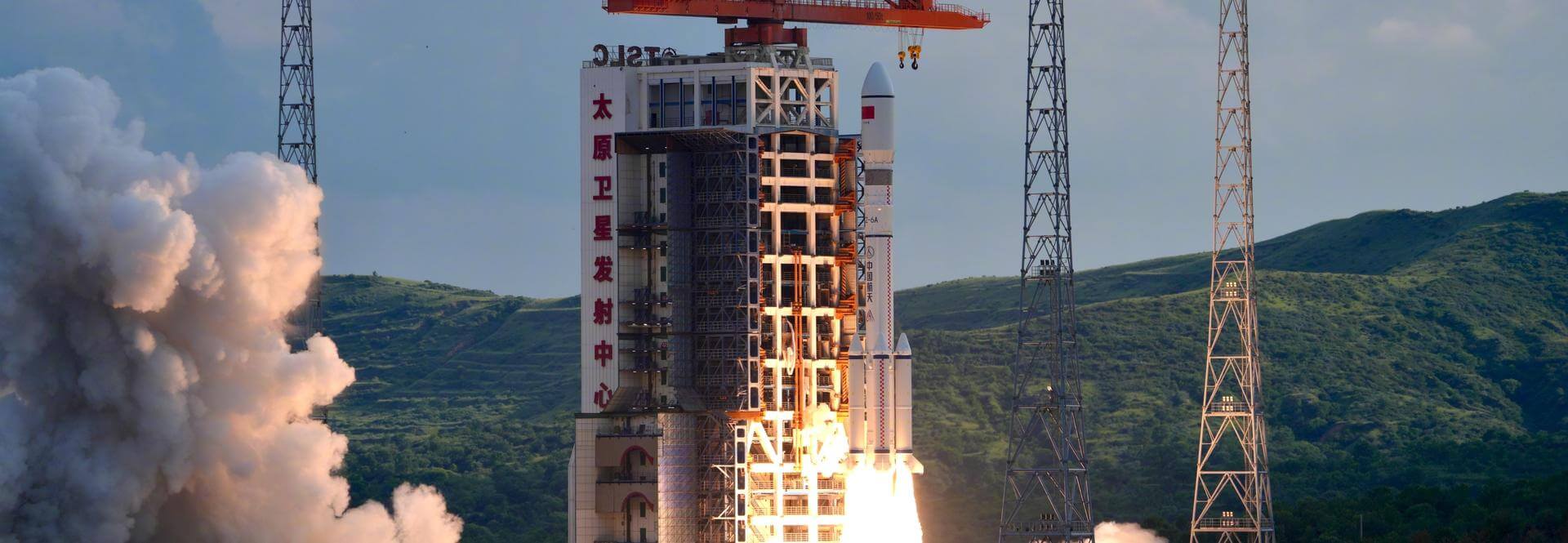
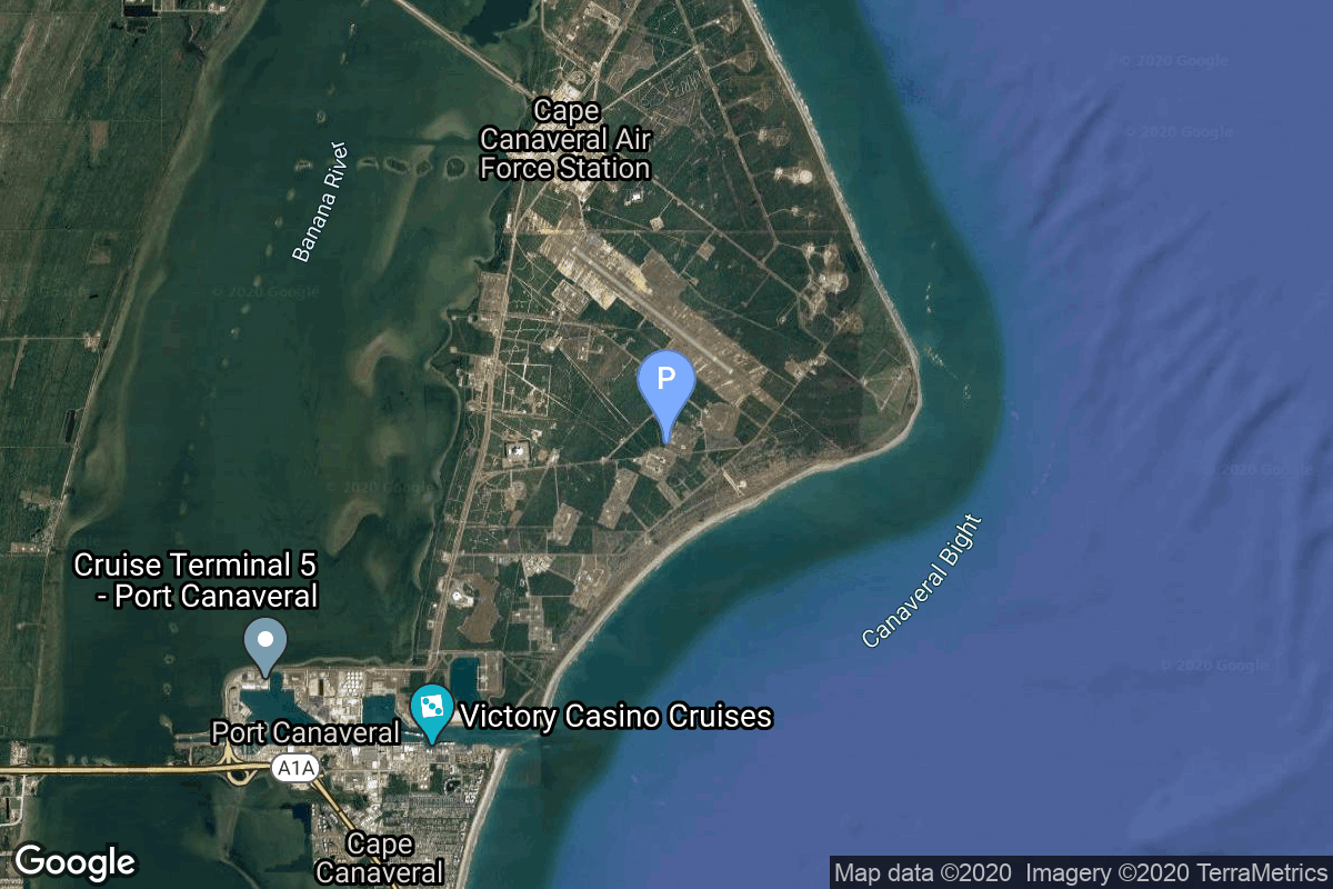
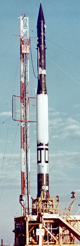
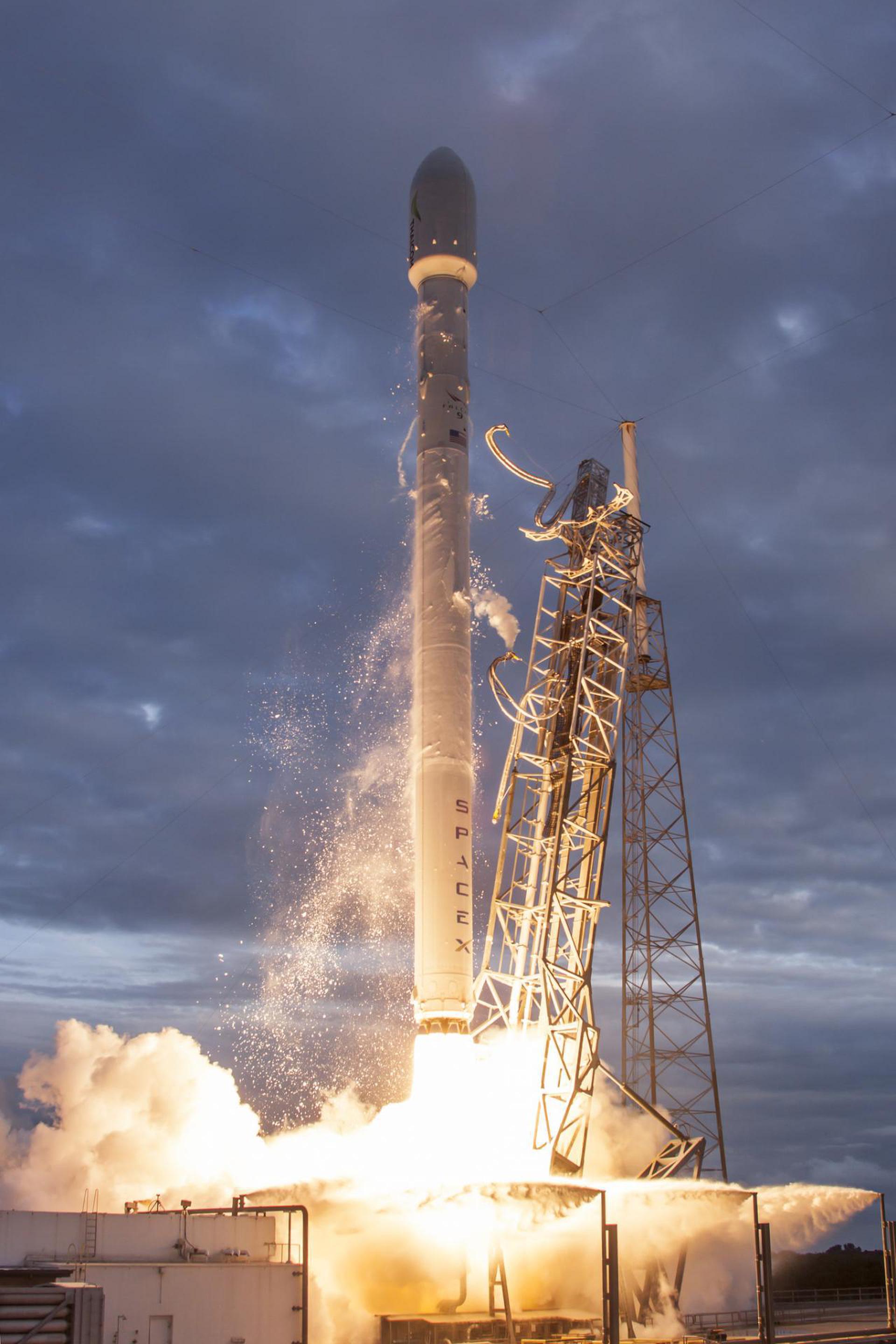
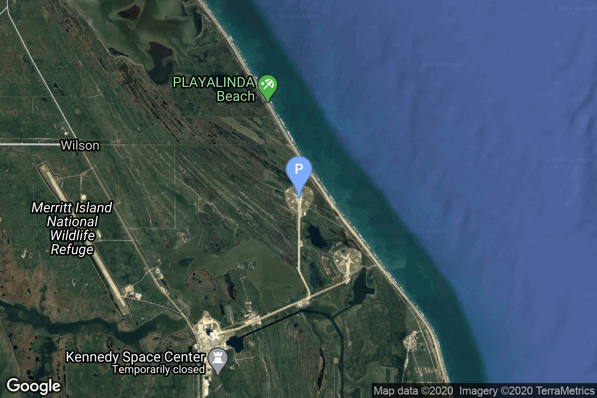
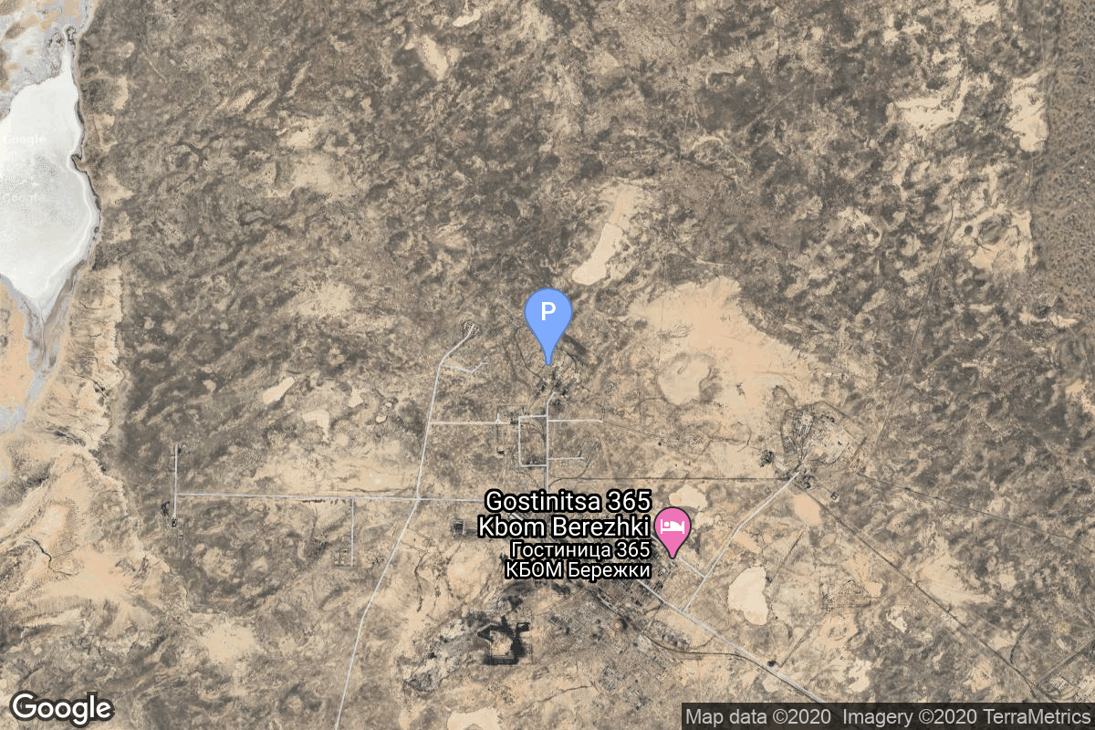
{ "count": 7925, "next": "https://ll.thespacedevs.com/2.0.0/launch/?format=api&limit=10&offset=1020&ordering=-id", "previous": "https://ll.thespacedevs.com/2.0.0/launch/?format=api&limit=10&offset=1000&ordering=-id", "results": [ { "id": "de3e82ca-7ea0-4d43-8090-bd6f45833948", "url": "https://ll.thespacedevs.com/2.0.0/launch/de3e82ca-7ea0-4d43-8090-bd6f45833948/?format=api", "launch_library_id": 1060, "slug": "pslv-xl-resourcesat-2a", "name": "PSLV XL | Resourcesat-2A", "status": { "id": 3, "name": "Success" }, "net": "2016-12-07T04:54:00Z", "window_end": "2016-12-07T08:30:00Z", "window_start": "2016-12-07T04:30:00Z", "inhold": false, "tbdtime": false, "tbddate": false, "probability": null, "holdreason": "", "failreason": null, "hashtag": null, "launch_service_provider": { "id": 31, "url": "https://ll.thespacedevs.com/2.0.0/agencies/31/?format=api", "name": "Indian Space Research Organization", "type": "Government" }, "rocket": { "id": 1969, "configuration": { "id": 38, "launch_library_id": 38, "url": "https://ll.thespacedevs.com/2.0.0/config/launcher/38/?format=api", "name": "PSLV-XL", "family": "PSLV", "full_name": "PSLV XL", "variant": "XL" } }, "mission": { "id": 249, "launch_library_id": 344, "name": "Resourcesat-2A", "description": "Resourcesat-2A is a remote sensing satellite, third in the program of the same name. It is intended to provide data continuity for users as a follow on mission to Resourcesat-2.", "launch_designator": null, "type": "Earth Science", "orbit": { "id": 17, "name": "Sun-Synchronous Orbit", "abbrev": "SSO" } }, "pad": { "id": 50, "url": "https://ll.thespacedevs.com/2.0.0/pad/50/?format=api", "agency_id": 31, "name": "Satish Dhawan Space Centre First Launch Pad", "info_url": null, "wiki_url": "https://en.wikipedia.org/wiki/Satish_Dhawan_Space_Centre_First_Launch_Pad", "map_url": "https://www.google.com/maps?q=13.733,80.235", "latitude": "13.733", "longitude": "80.235", "location": { "id": 14, "url": "https://ll.thespacedevs.com/2.0.0/location/14/?format=api", "name": "Satish Dhawan Space Centre, India", "country_code": "IND", "map_image": "https://thespacedevs-prod.nyc3.digitaloceanspaces.com/media/map_images/location_14_20200803142403.jpg", "total_launch_count": 103, "total_landing_count": 0 }, "map_image": "https://thespacedevs-prod.nyc3.digitaloceanspaces.com/media/map_images/pad_50_20200803143457.jpg", "total_launch_count": 63 }, "webcast_live": false, "image": "https://thespacedevs-prod.nyc3.digitaloceanspaces.com/media/images/pslv_image_20190224012254.jpeg", "infographic": null, "program": [] }, { "id": "de3d5d91-f115-4a86-b923-203a91a08735", "url": "https://ll.thespacedevs.com/2.0.0/launch/de3d5d91-f115-4a86-b923-203a91a08735/?format=api", "launch_library_id": null, "slug": "falcon-9-block-5-axiom-space-mission-5", "name": "Falcon 9 Block 5 | Axiom Space Mission 5", "status": { "id": 2, "name": "TBD" }, "net": "2027-01-31T00:00:00Z", "window_end": "2027-01-31T00:00:00Z", "window_start": "2027-01-31T00:00:00Z", "inhold": false, "tbdtime": true, "tbddate": true, "probability": null, "holdreason": "", "failreason": "", "hashtag": null, "launch_service_provider": { "id": 121, "url": "https://ll.thespacedevs.com/2.0.0/agencies/121/?format=api", "name": "SpaceX", "type": "Commercial" }, "rocket": { "id": 8033, "configuration": { "id": 164, "launch_library_id": 188, "url": "https://ll.thespacedevs.com/2.0.0/config/launcher/164/?format=api", "name": "Falcon 9", "family": "Falcon", "full_name": "Falcon 9 Block 5", "variant": "Block 5" } }, "mission": { "id": 6565, "launch_library_id": null, "name": "Axiom Space Mission 5", "description": "This is a Crew Dragon flight for a private company Axiom Space. The mission will carry a professionally trained commander alongside three private astronauts to and from the International Space Station for a month.", "launch_designator": null, "type": "Tourism", "orbit": { "id": 8, "name": "Low Earth Orbit", "abbrev": "LEO" } }, "pad": { "id": 80, "url": "https://ll.thespacedevs.com/2.0.0/pad/80/?format=api", "agency_id": 121, "name": "Space Launch Complex 40", "info_url": null, "wiki_url": "https://en.wikipedia.org/wiki/Cape_Canaveral_Air_Force_Station_Space_Launch_Complex_40", "map_url": "https://www.google.com/maps?q=28.56194122,-80.57735736", "latitude": "28.56194122", "longitude": "-80.57735736", "location": { "id": 12, "url": "https://ll.thespacedevs.com/2.0.0/location/12/?format=api", "name": "Cape Canaveral SFS, FL, USA", "country_code": "USA", "map_image": "https://thespacedevs-prod.nyc3.digitaloceanspaces.com/media/map_images/location_12_20200803142519.jpg", "total_launch_count": 1121, "total_landing_count": 75 }, "map_image": "https://thespacedevs-prod.nyc3.digitaloceanspaces.com/media/map_images/pad_80_20200803143323.jpg", "total_launch_count": 393 }, "webcast_live": false, "image": "https://thespacedevs-prod.nyc3.digitaloceanspaces.com/media/images/falcon2520925_image_20210525170218.jpeg", "infographic": null, "program": [ { "id": 32, "url": "https://ll.thespacedevs.com/2.0.0/program/32/?format=api", "name": "Axiom Private Spaceflight", "description": "Axiom Space provides human spaceflight missions to the International Space Station. \r\nThe company sent its first commercial astronauts into orbit in 2022. It also plans human spaceflight for government-funded and commercial astronauts engaging in in-space research, in-space manufacturing, and space exploration.", "agencies": [ { "id": 1022, "url": "https://ll.thespacedevs.com/2.0.0/agencies/1022/?format=api", "name": "Axiom Space", "type": "Private" } ], "image_url": "https://thespacedevs-prod.nyc3.digitaloceanspaces.com/media/images/axiom2520priva_program_20231231100427.jpeg", "start_date": "2022-04-08T00:00:00Z", "end_date": null, "info_url": "https://www.axiomspace.com/missions/", "wiki_url": "https://en.wikipedia.org/wiki/Axiom_Space#Missions" } ] }, { "id": "de39dd1a-0f72-4afd-a6b9-1b848b246071", "url": "https://ll.thespacedevs.com/2.0.0/launch/de39dd1a-0f72-4afd-a6b9-1b848b246071/?format=api", "launch_library_id": null, "slug": "falcon-9-block-5-starlink-group-4-7", "name": "Falcon 9 Block 5 | Starlink Group 4-7", "status": { "id": 3, "name": "Success" }, "net": "2022-02-03T18:13:20Z", "window_end": "2022-02-03T18:13:20Z", "window_start": "2022-02-03T18:13:20Z", "inhold": false, "tbdtime": false, "tbddate": false, "probability": 80, "holdreason": "", "failreason": "", "hashtag": null, "launch_service_provider": { "id": 121, "url": "https://ll.thespacedevs.com/2.0.0/agencies/121/?format=api", "name": "SpaceX", "type": "Commercial" }, "rocket": { "id": 7517, "configuration": { "id": 164, "launch_library_id": 188, "url": "https://ll.thespacedevs.com/2.0.0/config/launcher/164/?format=api", "name": "Falcon 9", "family": "Falcon", "full_name": "Falcon 9 Block 5", "variant": "Block 5" } }, "mission": { "id": 5929, "launch_library_id": null, "name": "Starlink Group 4-7", "description": "A batch of 49 satellites for Starlink mega-constellation - SpaceX's project for space-based Internet communication system.", "launch_designator": null, "type": "Communications", "orbit": { "id": 8, "name": "Low Earth Orbit", "abbrev": "LEO" } }, "pad": { "id": 87, "url": "https://ll.thespacedevs.com/2.0.0/pad/87/?format=api", "agency_id": 121, "name": "Launch Complex 39A", "info_url": null, "wiki_url": "https://en.wikipedia.org/wiki/Kennedy_Space_Center_Launch_Complex_39#Launch_Pad_39A", "map_url": "https://www.google.com/maps?q=28.60822681,-80.60428186", "latitude": "28.60822681", "longitude": "-80.60428186", "location": { "id": 27, "url": "https://ll.thespacedevs.com/2.0.0/location/27/?format=api", "name": "Kennedy Space Center, FL, USA", "country_code": "USA", "map_image": "https://thespacedevs-prod.nyc3.digitaloceanspaces.com/media/map_images/location_27_20200803142447.jpg", "total_launch_count": 281, "total_landing_count": 0 }, "map_image": "https://thespacedevs-prod.nyc3.digitaloceanspaces.com/media/map_images/pad_87_20200803143537.jpg", "total_launch_count": 222 }, "webcast_live": false, "image": "https://thespacedevs-prod.nyc3.digitaloceanspaces.com/media/images/falcon2520925_image_20221009234147.png", "infographic": null, "program": [ { "id": 25, "url": "https://ll.thespacedevs.com/2.0.0/program/25/?format=api", "name": "Starlink", "description": "Starlink is a satellite internet constellation operated by American aerospace company SpaceX", "agencies": [ { "id": 121, "url": "https://ll.thespacedevs.com/2.0.0/agencies/121/?format=api", "name": "SpaceX", "type": "Commercial" } ], "image_url": "https://thespacedevs-prod.nyc3.digitaloceanspaces.com/media/images/starlink_program_20231228154508.jpeg", "start_date": "2018-02-22T14:17:00Z", "end_date": null, "info_url": "https://starlink.com", "wiki_url": "https://en.wikipedia.org/wiki/Starlink" } ] }, { "id": "de34a344-6fc7-4d21-acdf-b9a97f338e22", "url": "https://ll.thespacedevs.com/2.0.0/launch/de34a344-6fc7-4d21-acdf-b9a97f338e22/?format=api", "launch_library_id": null, "slug": "thor-agena-d-poppy-4a-4b", "name": "Thor Agena D | Poppy 4A & 4B", "status": { "id": 4, "name": "Failure" }, "net": "1963-06-15T14:29:00Z", "window_end": "1963-06-15T14:29:00Z", "window_start": "1963-06-15T14:29:00Z", "inhold": false, "tbdtime": false, "tbddate": false, "probability": null, "holdreason": "", "failreason": null, "hashtag": null, "launch_service_provider": { "id": 161, "url": "https://ll.thespacedevs.com/2.0.0/agencies/161/?format=api", "name": "United States Air Force", "type": "Government" }, "rocket": { "id": 3208, "configuration": { "id": 393, "launch_library_id": null, "url": "https://ll.thespacedevs.com/2.0.0/config/launcher/393/?format=api", "name": "Thor Agena D", "family": "Thor", "full_name": "Thor Agena D", "variant": "Agena D" } }, "mission": { "id": 1630, "launch_library_id": null, "name": "Poppy 4A & 4B", "description": "Poppy was the follow-on ELINT system, which succeeded the Grab ELINT satellite system.", "launch_designator": null, "type": "Government/Top Secret", "orbit": { "id": 8, "name": "Low Earth Orbit", "abbrev": "LEO" } }, "pad": { "id": 98, "url": "https://ll.thespacedevs.com/2.0.0/pad/98/?format=api", "agency_id": 161, "name": "Space Launch Complex 2E", "info_url": null, "wiki_url": "https://en.wikipedia.org/wiki/Vandenberg_Space_Launch_Complex_2", "map_url": "https://www.google.com/maps?q=34.7516,-120.6192", "latitude": "34.7516", "longitude": "-120.6192", "location": { "id": 11, "url": "https://ll.thespacedevs.com/2.0.0/location/11/?format=api", "name": "Vandenberg SFB, CA, USA", "country_code": "USA", "map_image": "https://thespacedevs-prod.nyc3.digitaloceanspaces.com/media/map_images/location_11_20200803142416.jpg", "total_launch_count": 898, "total_landing_count": 35 }, "map_image": "https://thespacedevs-prod.nyc3.digitaloceanspaces.com/media/map_images/pad_98_20200803143228.jpg", "total_launch_count": 47 }, "webcast_live": false, "image": "https://thespacedevs-prod.nyc3.digitaloceanspaces.com/media/images/thor-agena_d_2_image_20251204204127.jpg", "infographic": null, "program": [] }, { "id": "de2b65b1-7050-4a7f-8308-370e32b6a28f", "url": "https://ll.thespacedevs.com/2.0.0/launch/de2b65b1-7050-4a7f-8308-370e32b6a28f/?format=api", "launch_library_id": null, "slug": "titan-iiic-idcsp-20-to-27", "name": "Titan IIIC | IDCSP 20 to 27", "status": { "id": 3, "name": "Success" }, "net": "1968-06-13T14:03:50Z", "window_end": "1968-06-13T14:03:50Z", "window_start": "1968-06-13T14:03:50Z", "inhold": false, "tbdtime": false, "tbddate": false, "probability": null, "holdreason": "", "failreason": null, "hashtag": null, "launch_service_provider": { "id": 161, "url": "https://ll.thespacedevs.com/2.0.0/agencies/161/?format=api", "name": "United States Air Force", "type": "Government" }, "rocket": { "id": 3793, "configuration": { "id": 439, "launch_library_id": null, "url": "https://ll.thespacedevs.com/2.0.0/config/launcher/439/?format=api", "name": "Titan IIIC", "family": "Titan", "full_name": "Titan IIIC", "variant": "IIIC" } }, "mission": { "id": 2211, "launch_library_id": null, "name": "IDCSP 20 to 27", "description": "The IDCSP (Initial Defense Communications satellite Program) provided the Pentagon with its first near-geosynchronous communications system and replaced the cancelled ADVENT project.", "launch_designator": null, "type": "Communications", "orbit": { "id": 3, "name": "Geosynchronous Orbit", "abbrev": "GSO" } }, "pad": { "id": 29, "url": "https://ll.thespacedevs.com/2.0.0/pad/29/?format=api", "agency_id": null, "name": "Space Launch Complex 41", "info_url": null, "wiki_url": "https://en.wikipedia.org/wiki/Cape_Canaveral_Air_Force_Station_Space_Launch_Complex_41", "map_url": "https://www.google.com/maps?q=28.58341025,-80.58303644", "latitude": "28.58341025", "longitude": "-80.58303644", "location": { "id": 12, "url": "https://ll.thespacedevs.com/2.0.0/location/12/?format=api", "name": "Cape Canaveral SFS, FL, USA", "country_code": "USA", "map_image": "https://thespacedevs-prod.nyc3.digitaloceanspaces.com/media/map_images/location_12_20200803142519.jpg", "total_launch_count": 1121, "total_landing_count": 75 }, "map_image": "https://thespacedevs-prod.nyc3.digitaloceanspaces.com/media/map_images/pad_29_20200803143528.jpg", "total_launch_count": 125 }, "webcast_live": false, "image": "https://thespacedevs-prod.nyc3.digitaloceanspaces.com/media/images/titan_iii-c_lau_image_20251103140641.jpeg", "infographic": null, "program": [] }, { "id": "de2af90a-ec7d-4933-ab19-ae982509e85a", "url": "https://ll.thespacedevs.com/2.0.0/launch/de2af90a-ec7d-4933-ab19-ae982509e85a/?format=api", "launch_library_id": null, "slug": "long-march-6a-spacesail-polar-group-6", "name": "Long March 6A | SpaceSail Polar Group #6", "status": { "id": 3, "name": "Success" }, "net": "2025-10-17T07:08:00Z", "window_end": "2025-10-17T07:19:00Z", "window_start": "2025-10-17T06:59:00Z", "inhold": false, "tbdtime": false, "tbddate": false, "probability": null, "holdreason": "", "failreason": "", "hashtag": null, "launch_service_provider": { "id": 88, "url": "https://ll.thespacedevs.com/2.0.0/agencies/88/?format=api", "name": "China Aerospace Science and Technology Corporation", "type": "Government" }, "rocket": { "id": 8769, "configuration": { "id": 478, "launch_library_id": null, "url": "https://ll.thespacedevs.com/2.0.0/config/launcher/478/?format=api", "name": "Long March 6A", "family": "Long March", "full_name": "Long March 6A", "variant": "A" } }, "mission": { "id": 7360, "launch_library_id": null, "name": "SpaceSail Polar Group #6", "description": "18 Low Earth Orbit communication satellites with Ku, Q and V band payloads for the G60 constellation operated by Shanghai Spacesail Technologies with funding backed by the Shanghai local government.\r\n\r\nInitial constellation will consist of 1296 satellites by 2027 with long term plans to expand it to 12000 satellites.", "launch_designator": null, "type": "Communications", "orbit": { "id": 13, "name": "Polar Orbit", "abbrev": "PO" } }, "pad": { "id": 200, "url": "https://ll.thespacedevs.com/2.0.0/pad/200/?format=api", "agency_id": null, "name": "Launch Complex 9A", "info_url": null, "wiki_url": null, "map_url": "https://www.google.com/maps?q=38.8583,111.5802", "latitude": "38.8583", "longitude": "111.5802", "location": { "id": 19, "url": "https://ll.thespacedevs.com/2.0.0/location/19/?format=api", "name": "Taiyuan Satellite Launch Center, People's Republic of China", "country_code": "CHN", "map_image": "https://thespacedevs-prod.nyc3.digitaloceanspaces.com/media/map_images/location_19_20200803142421.jpg", "total_launch_count": 157, "total_landing_count": 0 }, "map_image": "https://thespacedevs-prod.nyc3.digitaloceanspaces.com/media/map_images/pad_launch_complex_9a_20220330003717.jpg", "total_launch_count": 26 }, "webcast_live": false, "image": "https://thespacedevs-prod.nyc3.digitaloceanspaces.com/media/images/long_march_6a__image_20251209050223.jpeg", "infographic": null, "program": [] }, { "id": "de282e74-e03b-411e-9633-2d1497629893", "url": "https://ll.thespacedevs.com/2.0.0/launch/de282e74-e03b-411e-9633-2d1497629893/?format=api", "launch_library_id": null, "slug": "vanguard-vanguard-4", "name": "Vanguard | Vanguard", "status": { "id": 4, "name": "Failure" }, "net": "1958-04-29T02:53:00Z", "window_end": "1958-04-29T02:53:00Z", "window_start": "1958-04-29T02:53:00Z", "inhold": false, "tbdtime": false, "tbddate": false, "probability": null, "holdreason": "", "failreason": null, "hashtag": null, "launch_service_provider": { "id": 166, "url": "https://ll.thespacedevs.com/2.0.0/agencies/166/?format=api", "name": "US Navy", "type": "Government" }, "rocket": { "id": 3012, "configuration": { "id": 449, "launch_library_id": null, "url": "https://ll.thespacedevs.com/2.0.0/config/launcher/449/?format=api", "name": "Vanguard", "family": "", "full_name": "Vanguard", "variant": "" } }, "mission": { "id": 1432, "launch_library_id": null, "name": "Vanguard", "description": "Small satellite used to test the Vanguard three-stage launch vehicle.", "launch_designator": null, "type": "Test Flight", "orbit": { "id": 8, "name": "Low Earth Orbit", "abbrev": "LEO" } }, "pad": { "id": 118, "url": "https://ll.thespacedevs.com/2.0.0/pad/118/?format=api", "agency_id": 166, "name": "Launch Complex 18A", "info_url": null, "wiki_url": "https://en.wikipedia.org/wiki/Cape_Canaveral_Launch_Complex_18", "map_url": "https://www.google.com/maps?q=28.4493,-80.564494", "latitude": "28.4493", "longitude": "-80.564494", "location": { "id": 12, "url": "https://ll.thespacedevs.com/2.0.0/location/12/?format=api", "name": "Cape Canaveral SFS, FL, USA", "country_code": "USA", "map_image": "https://thespacedevs-prod.nyc3.digitaloceanspaces.com/media/map_images/location_12_20200803142519.jpg", "total_launch_count": 1121, "total_landing_count": 75 }, "map_image": "https://thespacedevs-prod.nyc3.digitaloceanspaces.com/media/map_images/pad_118_20200803143338.jpg", "total_launch_count": 18 }, "webcast_live": false, "image": "https://thespacedevs-prod.nyc3.digitaloceanspaces.com/media/images/vanguard_1_on_p_image_20240411114304.jpeg", "infographic": null, "program": [] }, { "id": "de278bee-4f84-4418-a3f3-4d5b969a363f", "url": "https://ll.thespacedevs.com/2.0.0/launch/de278bee-4f84-4418-a3f3-4d5b969a363f/?format=api", "launch_library_id": 155, "slug": "falcon-9-v11-jason-3", "name": "Falcon 9 v1.1 | Jason-3", "status": { "id": 3, "name": "Success" }, "net": "2016-01-17T18:42:18Z", "window_end": "2016-01-17T18:42:18Z", "window_start": "2016-01-17T18:42:18Z", "inhold": false, "tbdtime": false, "tbddate": false, "probability": null, "holdreason": "", "failreason": null, "hashtag": null, "launch_service_provider": { "id": 121, "url": "https://ll.thespacedevs.com/2.0.0/agencies/121/?format=api", "name": "SpaceX", "type": "Commercial" }, "rocket": { "id": 1901, "configuration": { "id": 14, "launch_library_id": 1, "url": "https://ll.thespacedevs.com/2.0.0/config/launcher/14/?format=api", "name": "Falcon 9", "family": "Falcon", "full_name": "Falcon 9 v1.1", "variant": "v1.1" } }, "mission": { "id": 84, "launch_library_id": 134, "name": "Jason 3", "description": "Jason 3 is a scientific Earth observation satellite designed to monitor and precisely measure the world’s oceans. The final flight of Falcon 9 v1.1.", "launch_designator": null, "type": "Earth Science", "orbit": { "id": 8, "name": "Low Earth Orbit", "abbrev": "LEO" } }, "pad": { "id": 16, "url": "https://ll.thespacedevs.com/2.0.0/pad/16/?format=api", "agency_id": null, "name": "Space Launch Complex 4E", "info_url": null, "wiki_url": "https://en.wikipedia.org/wiki/Vandenberg_Space_Launch_Complex_4#SLC-4E", "map_url": "https://www.google.com/maps?q=34.632,-120.611", "latitude": "34.632", "longitude": "-120.611", "location": { "id": 11, "url": "https://ll.thespacedevs.com/2.0.0/location/11/?format=api", "name": "Vandenberg SFB, CA, USA", "country_code": "USA", "map_image": "https://thespacedevs-prod.nyc3.digitaloceanspaces.com/media/map_images/location_11_20200803142416.jpg", "total_launch_count": 898, "total_landing_count": 35 }, "map_image": "https://thespacedevs-prod.nyc3.digitaloceanspaces.com/media/map_images/pad_16_20200803143532.jpg", "total_launch_count": 282 }, "webcast_live": false, "image": "https://thespacedevs-prod.nyc3.digitaloceanspaces.com/media/images/falcon252092520v1.1_image_20190222030927.jpeg", "infographic": null, "program": [] }, { "id": "de2170af-2f6f-42e1-a666-46c0e8cccc31", "url": "https://ll.thespacedevs.com/2.0.0/launch/de2170af-2f6f-42e1-a666-46c0e8cccc31/?format=api", "launch_library_id": 411, "slug": "space-shuttle-atlantis-ov-104-sts-66", "name": "Space Shuttle Atlantis / OV-104 | STS-66", "status": { "id": 3, "name": "Success" }, "net": "1994-11-03T16:59:43Z", "window_end": "1994-11-03T16:59:43Z", "window_start": "1994-11-03T16:59:43Z", "inhold": false, "tbdtime": false, "tbddate": false, "probability": null, "holdreason": "", "failreason": null, "hashtag": null, "launch_service_provider": { "id": 192, "url": "https://ll.thespacedevs.com/2.0.0/agencies/192/?format=api", "name": "Lockheed Space Operations Company", "type": "Commercial" }, "rocket": { "id": 382, "configuration": { "id": 493, "launch_library_id": null, "url": "https://ll.thespacedevs.com/2.0.0/config/launcher/493/?format=api", "name": "Space Shuttle", "family": "", "full_name": "Space Shuttle", "variant": "" } }, "mission": { "id": 767, "launch_library_id": 962, "name": "STS-66", "description": "STS-66 was a Space Shuttle program mission that was flown by the Space Shuttle Atlantis. STS-66 launched on 3 November 1994 at 11:59:43.060 am EDT from Launch Pad 39-B at NASA's Kennedy Space Center. Atlantis landed at Edwards Air Force Base on 14 November 1994 at 10:33:45 am EST.", "launch_designator": null, "type": "Earth Science", "orbit": { "id": 8, "name": "Low Earth Orbit", "abbrev": "LEO" } }, "pad": { "id": 4, "url": "https://ll.thespacedevs.com/2.0.0/pad/4/?format=api", "agency_id": 44, "name": "Launch Complex 39B", "info_url": null, "wiki_url": "https://en.wikipedia.org/wiki/Kennedy_Space_Center_Launch_Complex_39#Launch_Pad_39B", "map_url": "https://www.google.com/maps?q=28.62711233,-80.62101503", "latitude": "28.62711233", "longitude": "-80.62101503", "location": { "id": 27, "url": "https://ll.thespacedevs.com/2.0.0/location/27/?format=api", "name": "Kennedy Space Center, FL, USA", "country_code": "USA", "map_image": "https://thespacedevs-prod.nyc3.digitaloceanspaces.com/media/map_images/location_27_20200803142447.jpg", "total_launch_count": 281, "total_landing_count": 0 }, "map_image": "https://thespacedevs-prod.nyc3.digitaloceanspaces.com/media/map_images/pad_4_20200803143518.jpg", "total_launch_count": 59 }, "webcast_live": false, "image": "https://thespacedevs-prod.nyc3.digitaloceanspaces.com/media/images/space_shuttle_image_20230422074810.jpeg", "infographic": null, "program": [ { "id": 6, "url": "https://ll.thespacedevs.com/2.0.0/program/6/?format=api", "name": "Space Shuttle", "description": "The Space Shuttle program was the fourth human spaceflight program carried out by the National Aeronautics and Space Administration (NASA), which accomplished routine transportation for Earth-to-orbit crew and cargo from 1981 to 2011.", "agencies": [ { "id": 44, "url": "https://ll.thespacedevs.com/2.0.0/agencies/44/?format=api", "name": "National Aeronautics and Space Administration", "type": "Government" } ], "image_url": "https://thespacedevs-prod.nyc3.digitaloceanspaces.com/media/images/space2520shutt_program_20200820202237.png", "start_date": "1981-04-12T12:00:03Z", "end_date": "2011-07-08T15:29:00Z", "info_url": "https://www.nasa.gov/mission_pages/shuttle/main/index.html", "wiki_url": "https://en.wikipedia.org/wiki/Space_Shuttle_program" } ] }, { "id": "de17ba10-2621-41f5-b8a8-69f5ab8097d6", "url": "https://ll.thespacedevs.com/2.0.0/launch/de17ba10-2621-41f5-b8a8-69f5ab8097d6/?format=api", "launch_library_id": null, "slug": "tsiklon-2-us-pm-8", "name": "Tsiklon-2 | US-PM 8", "status": { "id": 3, "name": "Success" }, "net": "1996-12-11T12:00:00Z", "window_end": "1996-12-11T12:00:00Z", "window_start": "1996-12-11T12:00:00Z", "inhold": false, "tbdtime": false, "tbddate": false, "probability": null, "holdreason": "", "failreason": null, "hashtag": null, "launch_service_provider": { "id": 63, "url": "https://ll.thespacedevs.com/2.0.0/agencies/63/?format=api", "name": "Russian Federal Space Agency (ROSCOSMOS)", "type": "Government" }, "rocket": { "id": 6759, "configuration": { "id": 443, "launch_library_id": null, "url": "https://ll.thespacedevs.com/2.0.0/config/launcher/443/?format=api", "name": "Tsiklon-2", "family": "Tsiklon", "full_name": "Tsiklon-2", "variant": "2" } }, "mission": { "id": 5149, "launch_library_id": null, "name": "US-PM 8", "description": "US-PM (Upravlenniye Sputnik Passivny Modifikirovanny) (also reported as US-PU) was a solar powered improved EORSAT (Electronic Ocean Reconnaissance Satellite). It used an passive ELINT devices to track naval vessels from space by registering their electronic emmissions.", "launch_designator": null, "type": "Government/Top Secret", "orbit": { "id": 8, "name": "Low Earth Orbit", "abbrev": "LEO" } }, "pad": { "id": 133, "url": "https://ll.thespacedevs.com/2.0.0/pad/133/?format=api", "agency_id": null, "name": "90/19", "info_url": null, "wiki_url": "https://en.wikipedia.org/wiki/Baikonur_Cosmodrome_Site_90", "map_url": "https://www.google.com/maps?q=46.081,62.929806", "latitude": "46.081", "longitude": "62.929806", "location": { "id": 15, "url": "https://ll.thespacedevs.com/2.0.0/location/15/?format=api", "name": "Baikonur Cosmodrome, Republic of Kazakhstan", "country_code": "KAZ", "map_image": "https://thespacedevs-prod.nyc3.digitaloceanspaces.com/media/map_images/location_15_20200803142517.jpg", "total_launch_count": 1564, "total_landing_count": 0 }, "map_image": "https://thespacedevs-prod.nyc3.digitaloceanspaces.com/media/map_images/pad_133_20200803143315.jpg", "total_launch_count": 16 }, "webcast_live": false, "image": "https://thespacedevs-prod.nyc3.digitaloceanspaces.com/media/images/tsyklon-2_lifto_image_20240411113159.jpg", "infographic": null, "program": [] } ] }